The best road cycling routes around Sankt Amarin
4.4
(428)
16,173
riders
81
rides
Road cycling routes around Sankt Amarin are situated within the Vosges Massif, offering diverse and challenging terrain for cyclists. The region is characterized by significant elevation gains, including access to major ascents like the Grand Ballon and Col du Haag. Cyclists encounter a blend of quiet forest roads, open mountain pastures known as "chaumes," and routes through the picturesque Thur Valley.
Best road cycling routes around Sankt Amarin
- The most popular road cycling route is Firstplan Pass – Pinot Bend…
Last updated: October 8, 2026
4.9
(19)
1,875
riders
123km
07:12
3,030m
3,030m
Hard road ride. Very good fitness required. Some segments of this route may be unpaved and difficult to ride.
4.4
(19)
518
riders
39.2km
02:13
800m
800m
Moderate road ride. Good fitness required. Mostly well-paved surfaces and easy to ride.

4.6
(22)
611
riders
44.0km
02:37
1,030m
1,030m
Hard road ride. Very good fitness required. Some segments of this route may be unpaved and difficult to ride.
4.5
(12)
249
riders
47.1km
02:28
620m
620m
Moderate road ride. Good fitness required. Some segments of this route may be unpaved and difficult to ride.
4.1
(7)
190
riders
40.4km
02:09
650m
650m
Moderate road ride. Good fitness required. Mostly well-paved surfaces and easy to ride.
Get access to more routes and recommendations from other explorers.
Already have an account?
Our route recommendations are based on thousands of hikes, rides, and runs completed by other people on komoot.
Start today with a free account
Your next adventure awaits.
Popular around Sankt Amarin



Tips from the Community

The Col du Hunsrück (748 m) is a quiet and wooded pass above Willer-sur-Thur. The steady climb and beautiful nature make this a pleasant classic in the southern Vosges, with connections to both the Thur and Dollervallei valleys.
4
0
The last hairpin bends on the east side of the Grand Ballon are among the most characteristic passages of the climb. Several bends are paved with natural stone (cobblestones and not setts), a reminder of the historic mountain road. Between the steep slopes and the impressive views, these cobblestone bends form a special approach to the highest peak of the Vosges.
4
0
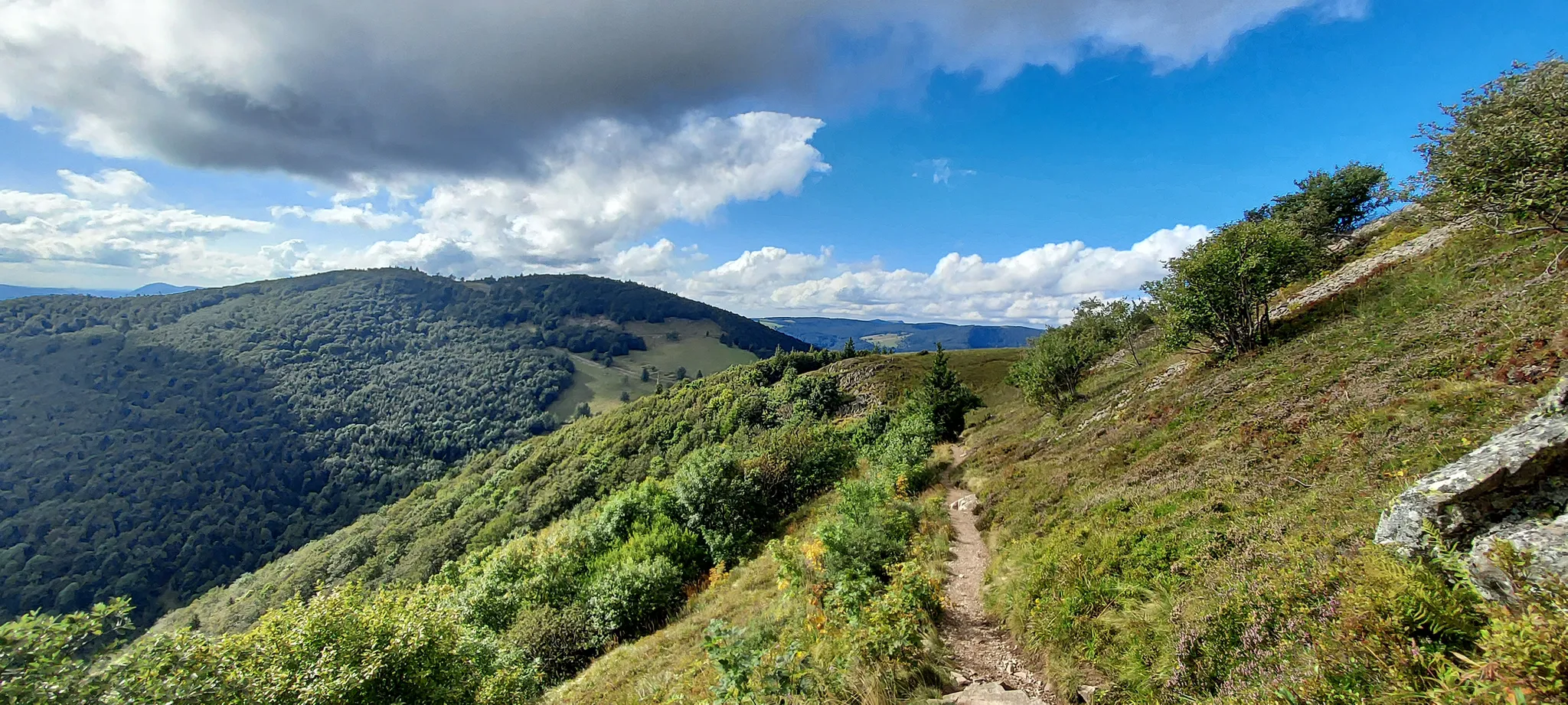
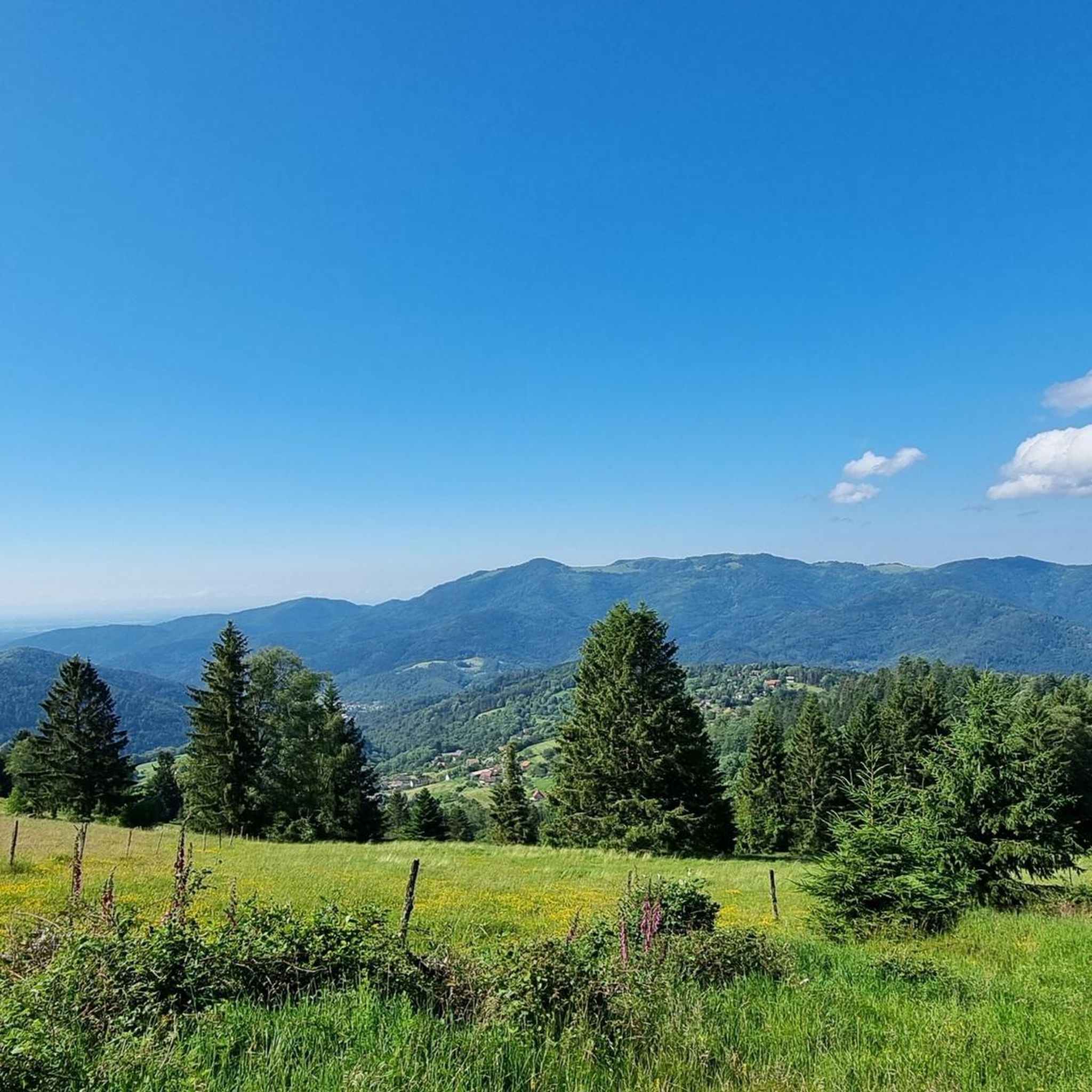
The bare mountain lends itself to beautiful panoramas.
4
0
When you drive from the Route des Crêtes towards Le Grand Ballon, you pass the Col du Haag (1233 m) almost unnoticed. Yet, this pass marks a special point on the southern flank of the highest mountain in the Vosges. Here, steep roads from the Thurdal leave the wooded slopes and reach the open heights of the massif. From the col, a typical Vosges landscape unfolds with mountain meadows, scattered farms, and sweeping views. The proximity of the Grand Ballon is felt everywhere: the imposing summit towers above the pass and forms the natural goal of the final climbing kilometers. For cyclists, the Col du Haag is mainly known as the point where difficult climbs from the valleys converge before the road continues to rise to the highest point of the Vosges.
4
0
Le Markstein (1184 m) is meer dan alleen een kruispunt op de Route des Crêtes. Het is echter een echte bergpas en het hoogste punt van de oversteek tussen het Lauch- en Thurdal. Het ligt in het hart van het Vogezenmassief, midden een populair wintersportgebied dat nauw verbonden is met de Grand Ballon
4
0
Stuwdam Lac de Kruth‑Wildenstein View over the quiet mountain lake on one side, and on the other side the steep, wooded rock face of the Thur valley.
6
0
The Cascade du Bockloch is an atmospheric waterfall in Alsace (Haut-Rhin department), located on the wooded northeastern bank (right bank) of the Kruth-Wildenstein Lake. The waterfall is fed by the Hinterbockloch mountain stream, which originates on the slopes of the nearby Grand Ventron massif. Water plunges here via an abrupt, steep rock face about 12 meters down into a small, photogenic basin, just before it flows into the reservoir.
5
0
The Col d' Oderen is an 8.2 kilometer climb. This is a category 3 climb. It is located in Cornimont, Lorraine, France. The average gradient of this climb is 3.9% with a maximum of 6%. The Col d' Oderen rises from 573 meters at the start to 885 meters at the top, with a total of 312 meters of elevation gain.
5
0
Frequently Asked Questions
How many road cycling routes are available around Sankt Amarin?
Sankt Amarin offers a wide selection of road cycling routes, with over 85 tours available. These routes cater to various skill levels, including 14 easy, 42 moderate, and 29 difficult options.
What kind of terrain and landscapes can I expect on road cycling routes in Sankt Amarin?
Road cycling in Sankt Amarin is characterized by the diverse terrain of the Vosges Massif. You'll encounter significant elevation gains, quiet forest roads, and open mountain pastures known as "chaumes." Routes often feature dense pine forests, glimpses of the Rhine plain, and on clear days, even distant views of Mont Blanc. The picturesque Thur Valley also offers scenic panoramas.
Are there challenging climbs for experienced road cyclists in the Sankt Amarin area?
Absolutely. Sankt Amarin is an excellent base for tackling formidable ascents. You can access iconic climbs such as the Grand Ballon, the highest peak in the Vosges, known for its steep sections and panoramic views. Another notable challenge is the Col du Haag, a first-category climb with an average gradient of 7.5%.
What do other cyclists say about road cycling in Sankt Amarin?
The road cycling routes around Sankt Amarin are highly rated by the komoot community, with an average score of 4.5 stars from over 270 reviews. Cyclists often praise the varied terrain, challenging ascents, and the stunning natural beauty of the Vosges Massif.
Are there any road cycling routes that feature waterfalls?
Yes, some routes incorporate natural features like waterfalls. For example, the Lake Kruth-Wildenstein – Bockloch Waterfall loop from Geishouse is a moderate route that includes the picturesque Bockloch Waterfall. The region is also home to other beautiful waterfalls like Siehlbaechle Waterfall and Sentier Michel Waterfall.
Can I find family-friendly road cycling routes in Sankt Amarin?
While many routes in Sankt Amarin involve significant elevation, there are 14 easy road cycling routes available that could be suitable for families or those looking for a less strenuous ride. These routes typically feature gentler gradients and less demanding distances.
What kind of landmarks or viewpoints can I expect to see along the routes?
Road cycling routes in Sankt Amarin offer numerous scenic viewpoints and natural landmarks. You can expect panoramic views from peaks like the Grand Ballon, the serene Lac du Ballon, and the picturesque Thur Valley. Some routes also pass by historical sites or memorials, such as the Col du Page Memorial.
When is the best time of year to go road cycling in Sankt Amarin?
The best time for road cycling in Sankt Amarin is typically from late spring to early autumn (May to October). During these months, the weather is generally milder, and mountain passes are clear of snow. Summer offers the warmest temperatures, while spring and autumn provide beautiful scenery with fewer crowds.
Are there circular road cycling routes available in Sankt Amarin?
Yes, many of the road cycling routes around Sankt Amarin are designed as loops, allowing you to start and finish at the same point. Examples include the challenging Firstplan Pass – Pinot Bend loop from Moosch and the moderate Hundsruck Pass – Chapel of Rammersmatt loop from Saint-Amarin.
Are there any routes that offer views of the Alsace vineyards?
While Sankt Amarin is nestled in the Vosges Massif, its proximity to the Alsace wine region means you can integrate rides through picturesque vineyards. Routes extending towards the east will bring you closer to the famous Route des Vins d'Alsace, offering a blend of natural beauty and cultural heritage.
What are the options for parking when road cycling in Sankt Amarin?
Many road cycling routes in Sankt Amarin start from towns like Moosch, Ranspach, or Saint-Amarin, where public parking is generally available. It's advisable to check local parking regulations and availability in specific starting locations before your ride.
Is it possible to use public transport with a bike in Sankt Amarin?
Public transport options in the Vosges region, including near Sankt Amarin, may offer limited capacity for bikes. It's recommended to check with local train or bus operators in advance regarding their policies for transporting bicycles, especially during peak seasons.
Most popular routes around Sankt Amarin
Most popular attractions around Sankt Amarin

Get inspired with the komoot mobile app


Explore more
Browse the best Road cycling routes in other regions.
