The best mountain hikes around Sennheim
4.0
(2)
12
hikers
3
hikes
Mountaineering routes around Sennheim traverse a landscape characterized by significant elevation changes, mountain passes, and diverse viewpoints. The region offers challenging ascents and panoramic vistas, with routes often leading through forested areas and open terrain. These trails provide opportunities to experience the natural features of the area, including prominent rock formations and elevated perspectives.
Best mountaineering routes around Sennheim
- The most popular mountaineering route is Hundsruck Pass – Vogelstein (Bird Rock) loop from Willer-sur-Thur, a 16.6 miles (26.8 km)…
Last updated: August 19, 2026
4
hikers
15.5km
04:57
640m
640m
Moderate mountaineering route. Good fitness required. Easily-accessible paths. Suitable for all skill levels.
4
hikers
26.8km
08:45
1,200m
1,200m
Hard mountaineering route. Very good fitness required. Easily-accessible paths. Suitable for all skill levels.

Sign up for free
5.0
(1)
1
hikers
15.1km
05:12
820m
820m
Hard mountaineering route. Very good fitness required. Easily-accessible paths. Suitable for all skill levels.
3.0
(1)
2
hikers
12.9km
04:04
490m
490m
Moderate mountaineering route. Good fitness required. Easily-accessible paths. Suitable for all skill levels.
Our route recommendations are based on thousands of hikes, rides, and runs completed by other people on komoot.
Start today with a free account
Your next adventure awaits.
Login or Signup
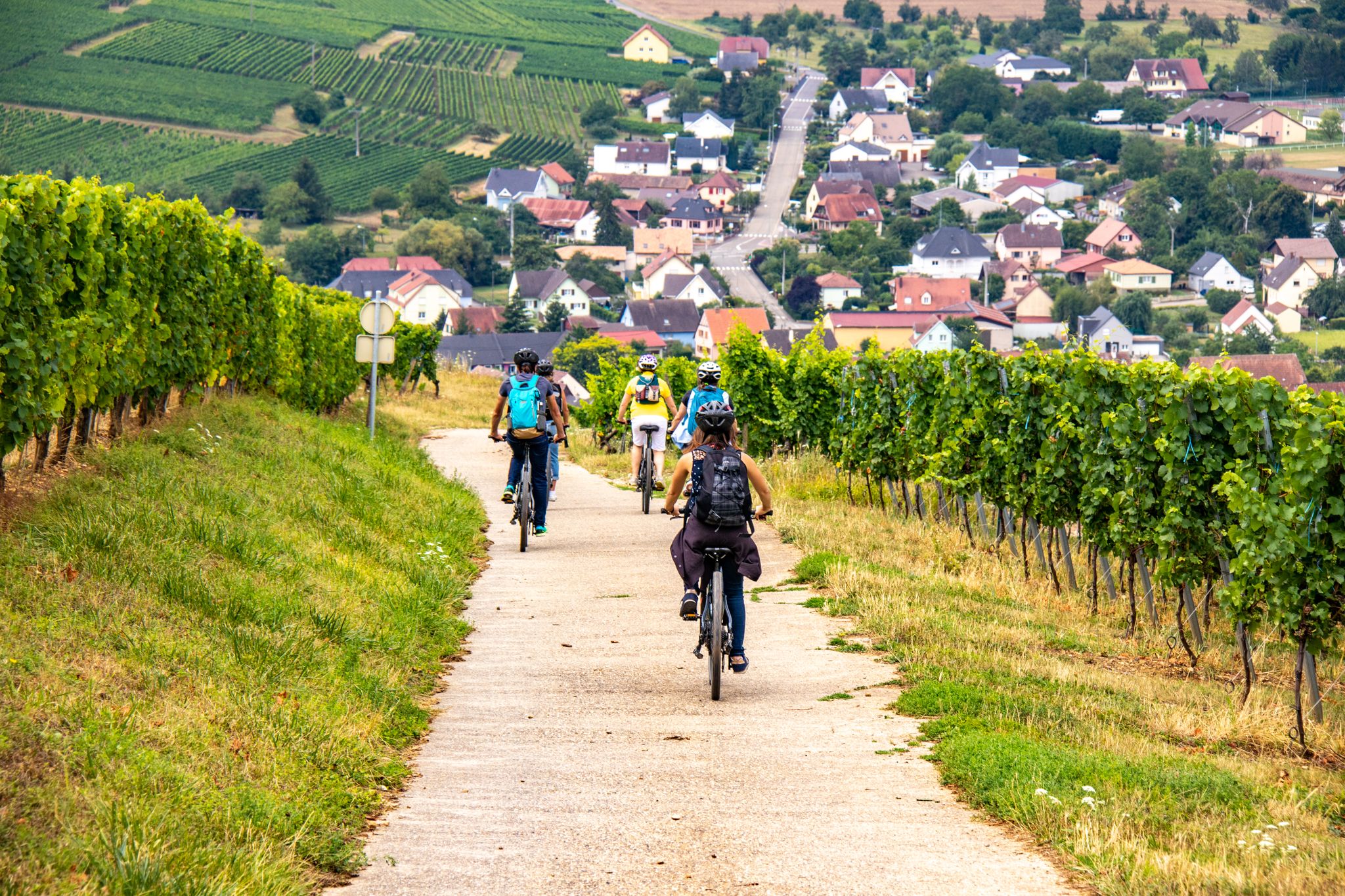
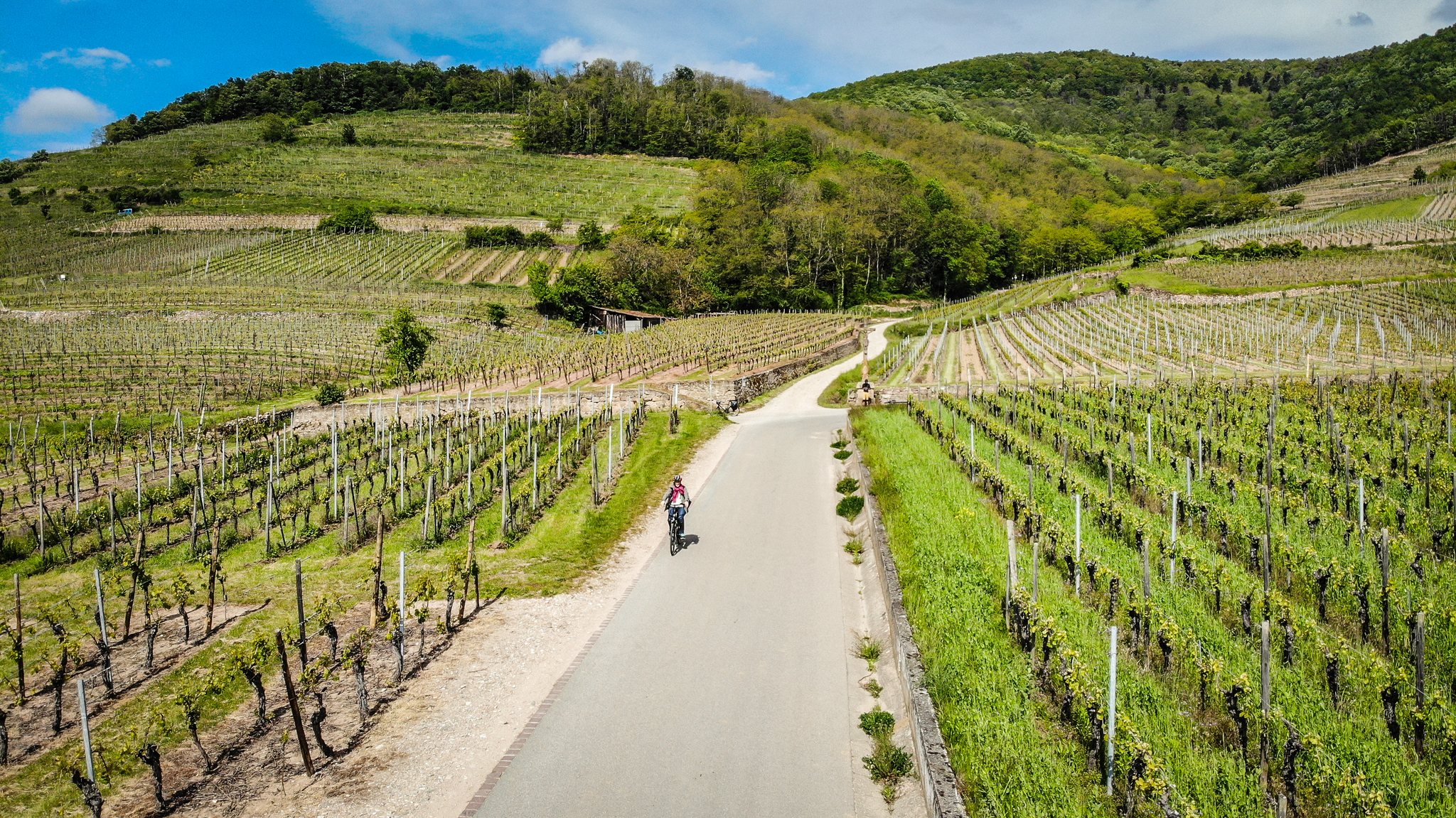
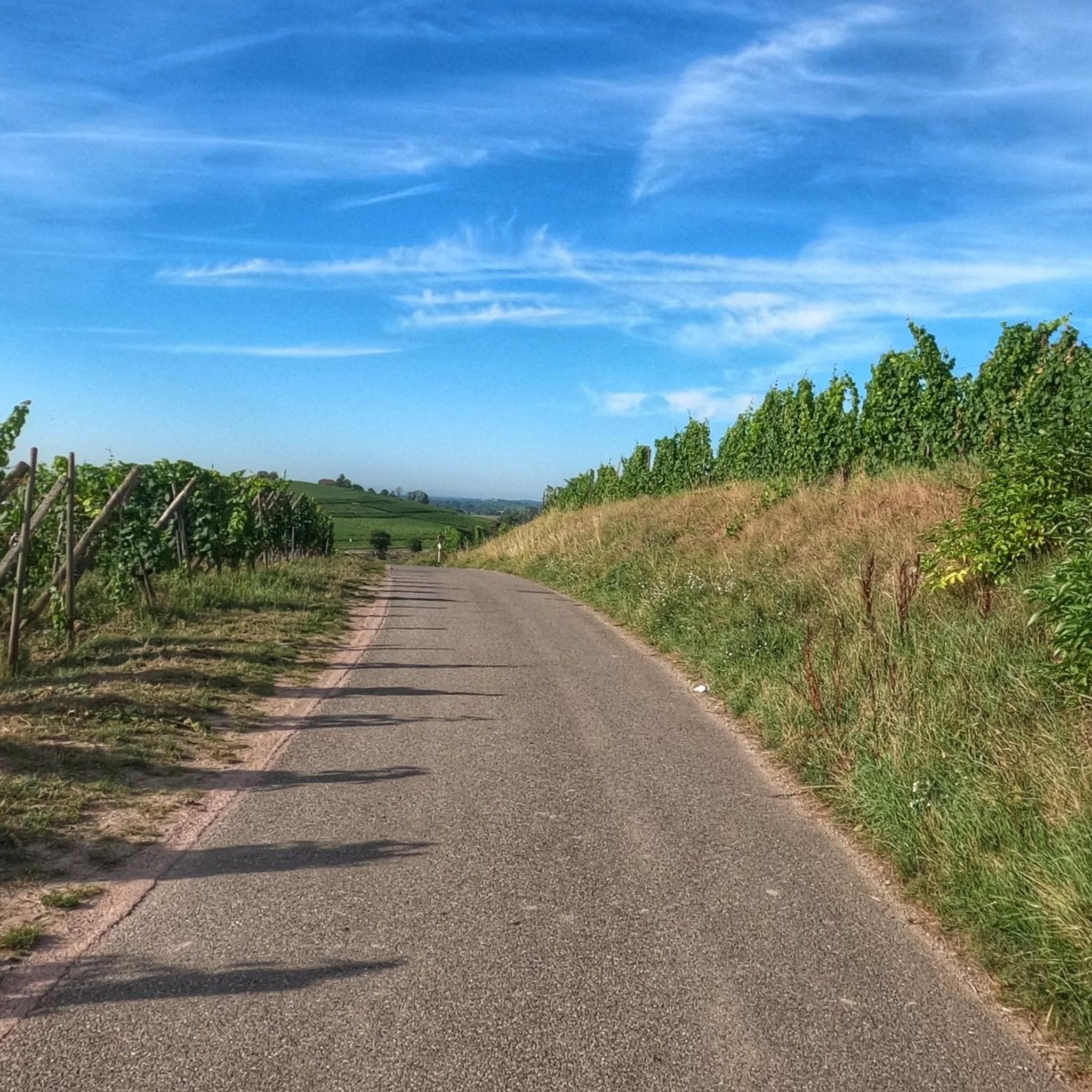
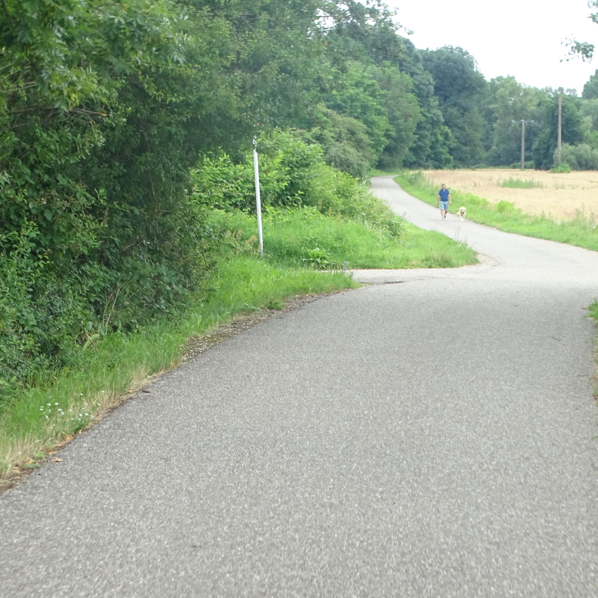
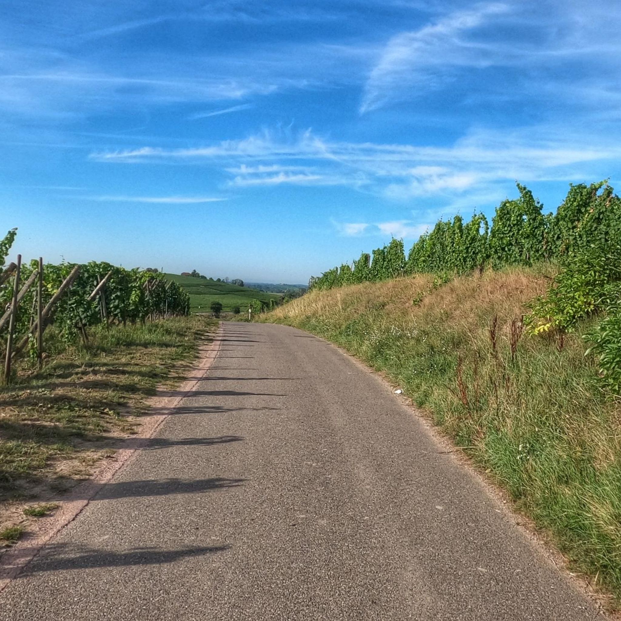
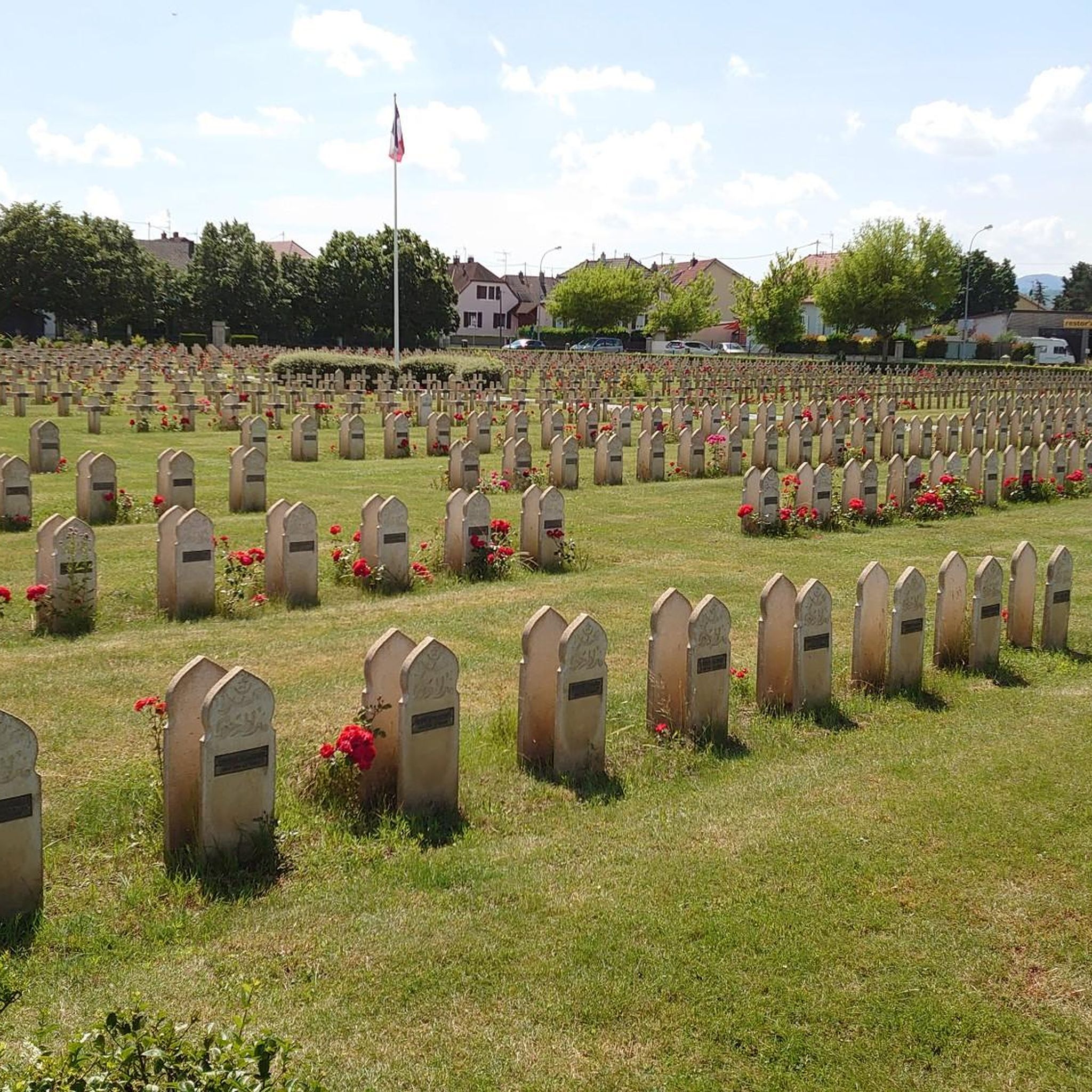
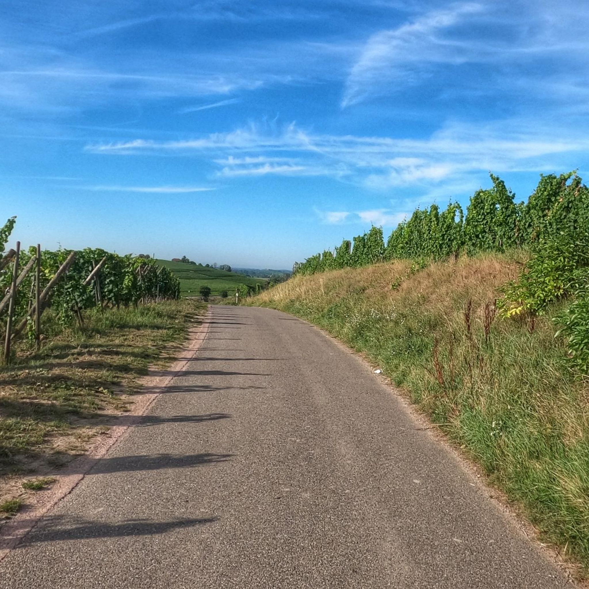


Tips from the Community

Fernand Zumbiehl, parish priest of Geishouse from 1960 to 1995, was president of the St-Amarin section of the Club Vosgien from 1962 to 1989. With several hundred members at the time, this section was the strongest in Alsace, which must have been a heavy burden for the priest!
0
0

Beautiful hike and beautiful viewpoint
1
0


Vieil Armand, also known as Hartmannswillerkopf, is a striking mountain peak in the southern Vosges, near the Col Amic. This place is not only popular with cyclists because of the challenging climb and the panoramic view of the Rhine plain, but also an important historical monument. During the First World War, fierce fighting took place here between French and German troops, resulting in a static trench warfare. Today, the area is a national memorial with a crypt, military cemetery and well-preserved trenches. The climb to Vieil Armand via the Col Amic is not only sportingly rewarding, but also impressive because of the historical significance of the landscape.
6
0

Ferme Auberge Gsang: great view, good food
0
0

Nice climb, very good asphalt. Little traffic (during the week in early June).
0
0

A beautiful, not too challenging climb on a wide, well-paved road. More views from the south than from the north.
0
1
Frequently Asked Questions
What is the general difficulty level of mountaineering routes around Sennheim?
Mountaineering around Sennheim is characterized by challenging terrain. This guide features 1 moderate route and 2 difficult routes, all offering significant elevation changes and rewarding views.
Are there any circular mountaineering routes in the Sennheim area?
Yes, several routes are designed as loops. For example, the Hundsruck Pass – Panoramic view loop from Bourbach-le-Haut is a moderate 9.7-mile (15.5 km) trail that offers varied terrain and panoramic views. Another option is the more challenging Hundsruck Pass – Vogelstein (Bird Rock) loop from Willer-sur-Thur.
What kind of attractions or landmarks can I expect to see along the mountaineering routes near Sennheim?
The region offers a mix of natural beauty and historical sites. You might encounter prominent viewpoints like the Viewpoint at the summit of Vieil Armand, or historical locations such as the Hartmannswillerkopf National Monument. Some routes also pass by interesting geological features or historical bunkers like the Adlerhorst Command Post – World War I.
Are there any less strenuous mountaineering options for beginners or those seeking a moderate challenge?
While many routes are difficult, there are moderate options available. The Hundsruck Pass – Panoramic view loop from Bourbach-le-Haut is a moderate 9.7-mile (15.5 km) trail that provides a good challenge without the extreme demands of the most difficult routes. Another moderate option is the Lourdes Grotto – Moosch loop from Moosch.
What is the best time of year for mountaineering around Sennheim?
The best time for mountaineering in Sennheim is generally from late spring to early autumn (May to October) when the weather is more stable and trails are clear of snow. Always check local weather forecasts before heading out, as mountain conditions can change rapidly.
What should I pack for a mountaineering trip in Sennheim?
Given the challenging nature of these routes, essential gear includes sturdy hiking boots, appropriate layers of clothing for varying weather conditions, rain gear, sufficient water and snacks, a map or GPS device, a first-aid kit, and sun protection. Trekking poles can also be beneficial for ascents and descents.
Are there any dog-friendly mountaineering trails near Sennheim?
Many trails in the region are suitable for dogs, provided they are well-behaved and kept on a leash where required. Always ensure your dog is fit enough for the chosen route and carry enough water for both of you. It's advisable to check specific trail regulations for any restrictions before you go.
Can I access mountaineering routes around Sennheim using public transport?
Access to trailheads by public transport can vary. Some starting points, like Willer-sur-Thur or Wattwiller, may have bus or train connections. It's recommended to research specific public transport options to your chosen trailhead in advance, as services might be less frequent in mountainous areas.
Are there any cafes or places to eat near the mountaineering trails in Sennheim?
While specific cafes directly on the trails might be limited, you will find options in the villages and towns surrounding the trailheads, such as Sennheim, Willer-sur-Thur, or Bourbach-le-Haut. These can be good spots for refreshments before or after your hike.
What do other mountaineers enjoy most about the routes around Sennheim?
The komoot community rates the mountaineering routes around Sennheim highly, with an average score of 4.0 stars. Users frequently praise the challenging ascents, the diverse terrain, and the expansive panoramic views that reward their efforts.
Are there any routes that offer particularly expansive views?
Yes, the region is known for its panoramic vistas. The Viewpoint loop from Wattwiller is a difficult 9.2-mile (14.8 km) path specifically highlighted for its expansive views and significant climbs, making it a popular choice for those seeking scenic rewards.
Most popular routes around Sennheim
Most popular attractions around Sennheim

Get inspired with the komoot mobile app


Explore more
Browse the best Mountain Hikes & Routes in other regions.
