The best walks and hikes around Sennheim
4.5
(637)
3,494
hikers
41
hikes
Hiking trails around Sennheim are characterized by varied terrain, including forest paths and routes along local waterways. The region offers a mix of elevations, from gentle gradients to more challenging ascents. Hikers can explore areas around Cernay, encountering historical landmarks and natural features.
Best hiking trails around Sennheim
- The most popular hiking route is View into the valley – Chapelle de la Loh loop from Cernay, a 12.2 miles (19.7 km) trail that takes 6 hours 11 minutes to…
Last updated: July 9, 2026
4.5
(2)
21
hikers
19.7km
06:11
750m
750m
Hard hike. Very good fitness required. Easily-accessible paths. Suitable for all skill levels.
3.8
(4)
19
hikers
8.65km
02:13
30m
30m
Moderate hike. Good fitness required. Easily-accessible paths. Suitable for all skill levels.

Sign up for free
5.0
(2)
17
hikers
5.43km
01:23
20m
20m
Easy hike. Great for any fitness level. Easily-accessible paths. Suitable for all skill levels.
4.3
(4)
17
hikers
12.2km
03:06
40m
40m
Moderate hike. Good fitness required. Easily-accessible paths. Suitable for all skill levels.
15
hikers
16.8km
04:26
150m
150m
Moderate hike. Good fitness required. Easily-accessible paths. Suitable for all skill levels.
Get access to more routes and recommendations from other explorers.
Sign up for free
Already have an account?
Our route recommendations are based on thousands of hikes, rides, and runs completed by other people on komoot.
Start today with a free account
Your next adventure awaits.
Login or Signup



Tips from the Community

Small square by the Thur with benches. About the statue inaugurated in 2011: https://www.paroisses-paysdecernay.fr/wordpress/?page_id=6171
0
0

The chapel was built in 1930 on the site of a former wayside cross. It is dedicated to Saint Morand, a Cluny monk who became an apostle of the Sundgau region (11th century), patron saint of the parish of Steinbach and the village's winegrowers. It is also commonly known as Lohkapala.
0
0

You can walk along the waterfront of the Beek/river here
1
0

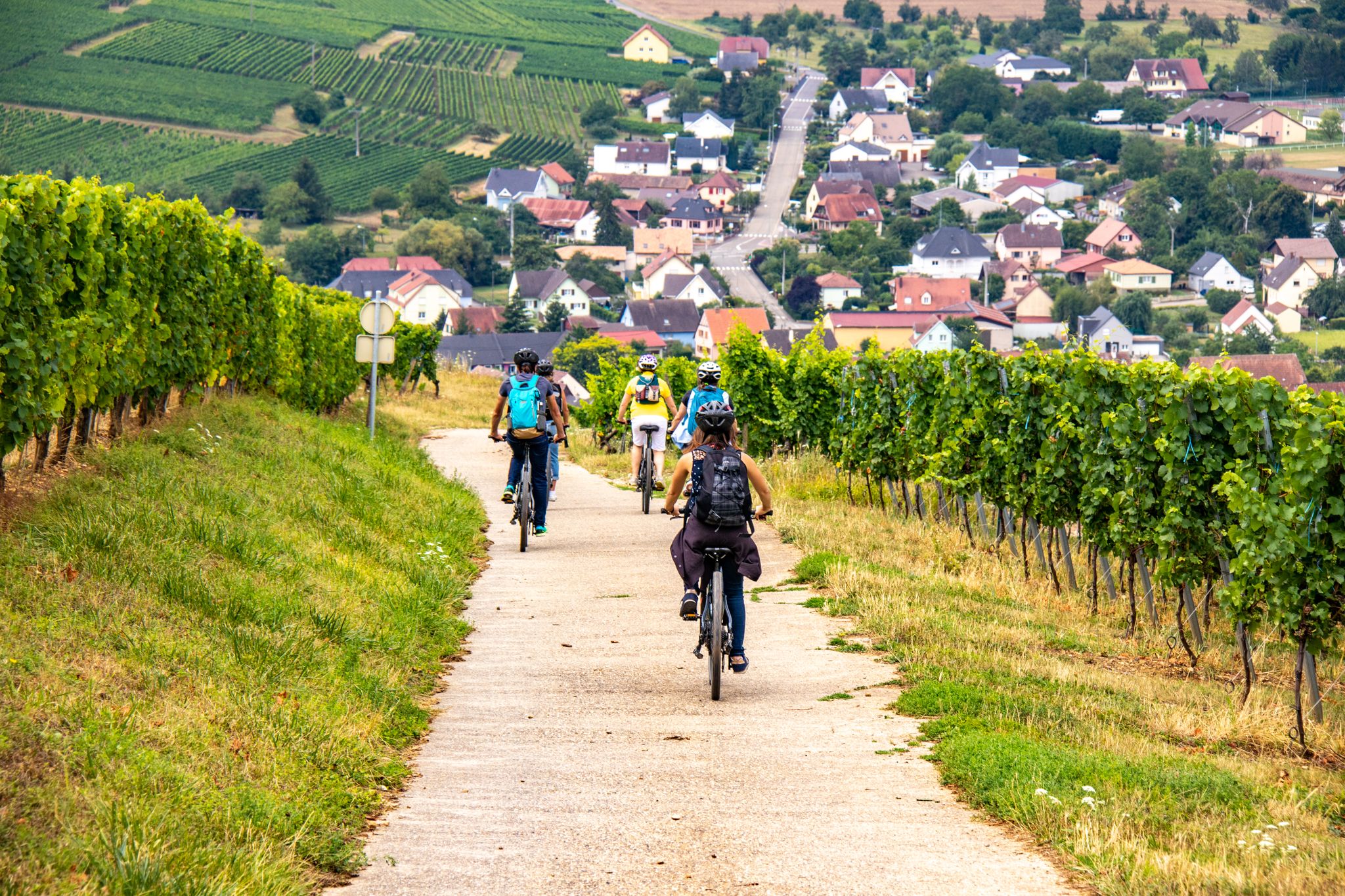
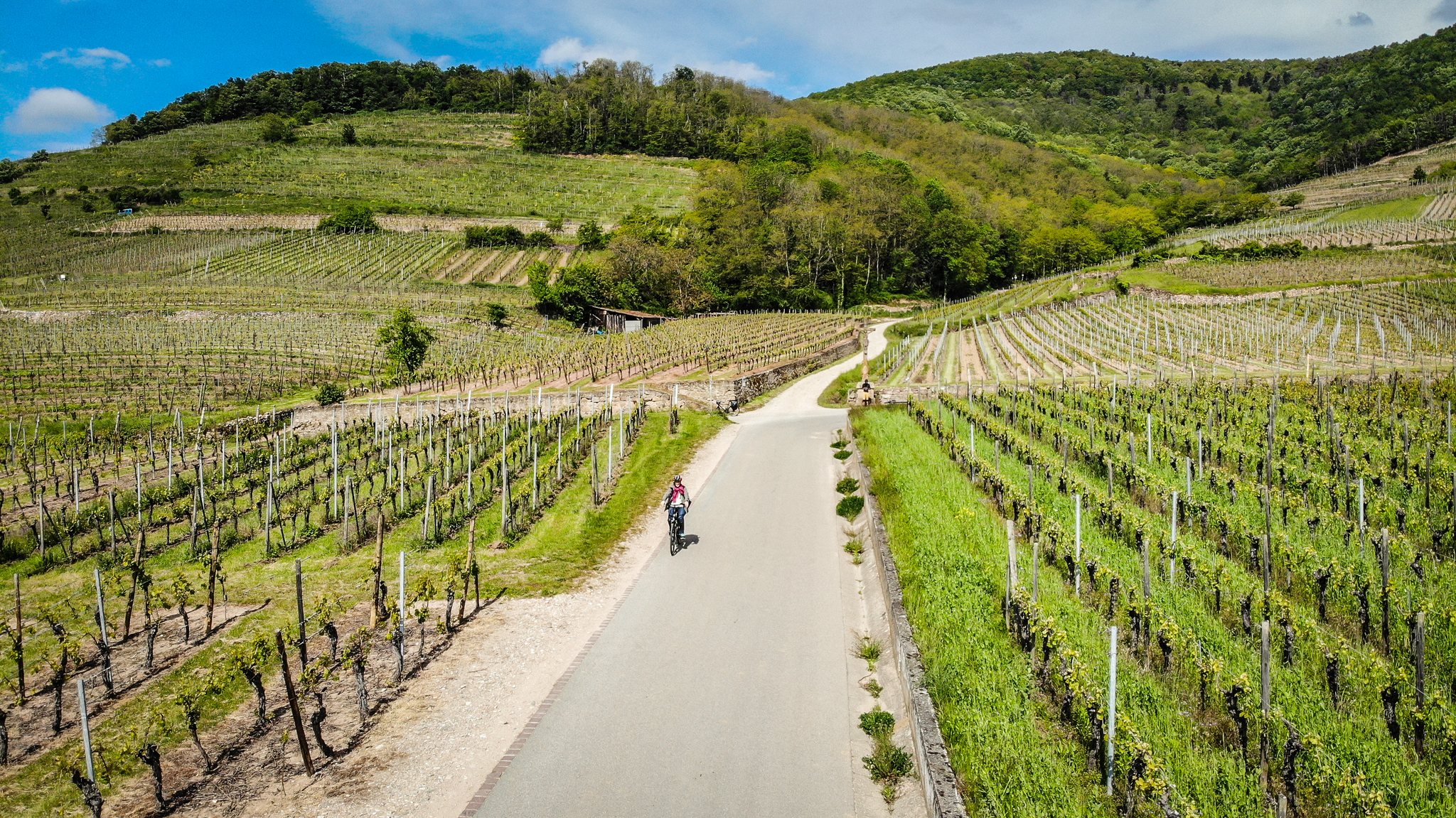
Chapel in the middle of nature, but easily accessible. The place and the whole environment are very bucolic. The 2nd photo perfectly demonstrates this.
1
0

Interesting tower right next to the bridge, whose roof seems to sit somewhat crookedly on the walls.
1
0
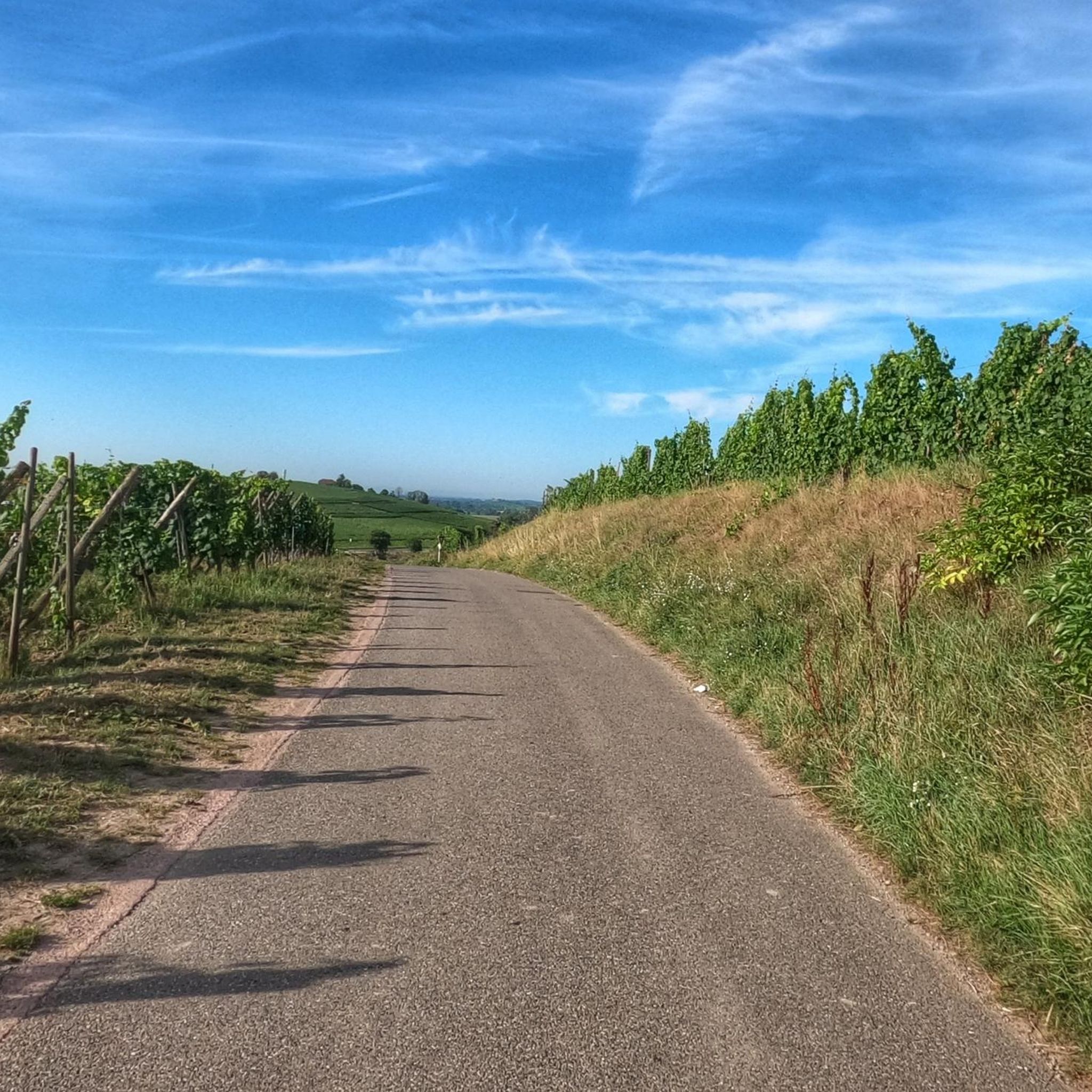
Pretty little chapel in the middle of the vineyard. A little further down is a seating area of a winery.
0
0

Beautiful little town, nice for having a drink on a terrace.
1
0
Frequently Asked Questions
How many hiking trails are available around Sennheim?
Sennheim offers a comprehensive network of nearly 40 hiking trails, catering to various ability levels. These routes are highly rated by the komoot community, with an average score of 4.5 stars.
What kind of terrain can I expect on hikes near Sennheim?
Hiking around Sennheim features diverse terrain, primarily defined by the Moselle River, terraced vineyards, and picturesque forests. You'll find a mix of gentle riverside paths, moderate ascents through vineyards, and trails leading into the lower slopes of the Hunsrück heights.
What is the best time of year for hiking in Sennheim?
The best seasons for hiking in Sennheim are spring and autumn. During these times, you can fully appreciate the region's natural beauty, from blooming vineyards to vibrant fall foliage, without the peak summer heat.
Are there easy hiking options suitable for families or casual strolls?
Yes, Sennheim has numerous easy hiking options. For instance, the Fitness Trail – River stairs loop from Cernay is a moderate 8.6 km path featuring riverside sections. The region also offers a dedicated children's trail designed for playful exploration.
Are there challenging hikes for experienced hikers in Sennheim?
For those seeking a more strenuous adventure, Sennheim offers challenging routes. An example is the View into the valley – Chapelle de la Loh loop from Cernay, a difficult 19.7 km trail with significant elevation gain, taking over 6 hours to complete.
What unique natural features or landmarks can I see while hiking?
Sennheim is rich in unique natural features and landmarks. You can explore the terraced vineyards, including the famous Calmont, Europe's steepest vineyard, offering breathtaking views. Historical sites like the Roman Tombs of Nehren, with their well-preserved vaulted paintings, are also accessible via hiking trails. Don't miss viewpoints like the Viewpoint at the summit of Vieil Armand.
Are there any circular hiking routes around Sennheim?
Yes, many routes around Sennheim are designed as circular walks, allowing you to start and end at the same point. Examples include the Saint-Thiébaut Collegiate Church – The Witches' Tower loop from Cernay, which leads through historical areas, and the Chapelle de la Loh – parc des 2 rives de Cernay ! loop from Cernay.
What kind of historical sites can be found along the trails?
Hiking trails in Sennheim often lead through historical areas. You can discover sites like the Roman Tombs of Nehren, which are situated high in the vineyards, or explore routes connecting historical sites such as the Saint-Thiébaut Collegiate Church – The Witches' Tower loop from Cernay.
Are there any viewpoints with panoramic scenery?
Absolutely. The region is known for its spectacular views. A highlight for many hikers is the trail leading to the Calmont-Kanzel lookout point, which offers panoramic vistas over the Moselle valley and surrounding landscape. You can also find an Superb panorama of the Vosges from certain summits.
Can I find trails that follow the Moselle River?
Yes, the Moselle River is a central element of Sennheim's landscape, and many hiking trails run along its banks. These riverside paths offer scenic views and often feature gentle gradients, perfect for a leisurely walk. The Moselle Panorama Route also provides varied scenic hiking opportunities along the river.
What is the average rating for hiking trails in Sennheim?
The hiking trails in Sennheim are highly regarded by the komoot community, boasting an impressive average rating of 4.5 stars from over 500 reviews. Hikers frequently praise the varied terrain, well-maintained paths, and the stunning scenery of the Moselle Valley and vineyards.
Most popular routes around Sennheim
Most popular attractions around Sennheim

Get inspired with the komoot mobile app


Explore more
Browse the best Hikes in other regions.
