The best road cycling routes in the Santa Rosa Mountains
4.9
(9)
387
riders
21
rides
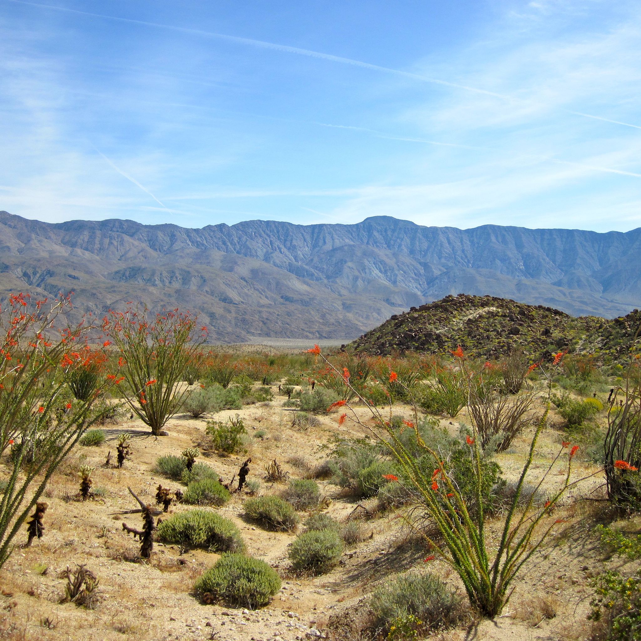
Road cycling in the Santa Rosa Mountains offers diverse terrain, characterized by dramatic elevation changes from the desert floor to alpine peaks. The region features rugged granite ridges, deep washes, and canyons, with routes winding through varied ecosystems. The Palms to Pines Scenic Byway (Highway 74) is a prominent feature, providing significant elevation gains and panoramic views of the Coachella Valley. These mountains are primarily composed of granite, creating challenging and rewarding routes for road cyclists.
Best road cycling routes…
Last updated: July 1, 2026
4.0
(1)
43
riders
29.2km
01:07
100m
100m
The Galleta Meadows Sculptures loop offers an easy road cycling experience through the unique desert landscape of Anza-Borrego Desert State Park. As you cycle this 18.1-mile (29.2 km) route, you…
47
riders
7.95km
00:18
20m
20m
Easy road ride. Great for any fitness level. Mostly well-paved surfaces and easy to ride.

Sign up for free
48
riders
7.98km
00:19
20m
20m
Easy road ride. Great for any fitness level. Mostly well-paved surfaces and easy to ride.
5.0
(1)
36
riders
46.1km
02:44
1,150m
1,150m
Hard road ride. Very good fitness required. Mostly well-paved surfaces and easy to ride.
16
riders
34.7km
01:38
450m
450m
Moderate road ride. Good fitness required. Some segments of this route may be unpaved and difficult to ride.
14
riders
34.9km
01:25
170m
170m
Easy road ride. Great for any fitness level. Mostly well-paved surfaces and easy to ride.
11
riders
36km
01:32
240m
240m
Moderate road ride. Great for any fitness level. Some segments of this route may be unpaved and difficult to ride.
10
riders
Easy road ride. Great for any fitness level. Mostly well-paved surfaces and easy to ride.
6
riders
18.1km
00:43
100m
90m
Easy road ride. Great for any fitness level. Mostly well-paved surfaces and easy to ride.
Get access to more routes and recommendations from other explorers.
Sign up for free
Already have an account?
Our route recommendations are based on thousands of hikes, rides, and runs completed by other people on komoot.
Start today with a free account
Your next adventure awaits.
Login or Signup
Popular around Santa Rosa Mountains
Tips from the Community

Get ready for a dramatic and challenging road bike climb up the Montezuma Borrego Highway, also known as Montezuma Valley Road, starting from Borrego Springs. As you tackle the 10-12 miles of climbing, gaining an impressive 3,300 to 3,400 feet at an average gradient around 6% you'll ascend what's often called the "Glass Elevator," the scenery is spectacular. Transforming from the arid Anza-Borrego desert floor with its unique plants to offering expansive, panoramic views of rugged mountains, canyons, and the distant Salton Sea. Be prepared for potentially extreme heat in the warmer months and possible strong winds higher up as you climb towards the cooler elevations and the summit area near Ranchita.
0
0

The Galleta Meadows Sculptures, situated in Anza-Borrego Desert State Park, comprise a collection of over 130 metal sculptures crafted by artist Ricardo Breceda. Spread out across the desert for over 10 miles, most sculptures are located right off the road.
0
0
Yaqui Pass sits at an elevation of 1,742 feet and lies within the boundaries of Anza-Borrego Desert State Park. Its rugged terrain and natural beauty offer panoramic vistas and plenty of hiking opportunities.
0
0

The colors and diversity of cactus and wildlife really make this place special. Easy to park, I recommend going there, beware of the temperatures, carry enough water.
0
0

The Desert Eagle is one of 130 faszinating metal sculptures in the Anza-Borrego Desert among the Borrego Valley. Look closely – the tall eagle is not the only creature to see.
3
0
Frequently Asked Questions
How many road cycling routes are available in the Santa Rosa Mountains?
The Santa Rosa Mountains offer a diverse network of over 15 road cycling routes. These routes cater to various skill levels, ranging from easy loops across the desert floor to challenging climbs with significant elevation gains.
What is the best time of year for road cycling in the Santa Rosa Mountains?
The best time for road cycling in the Santa Rosa Mountains is typically during the cooler months, from late fall through spring (October to April). During these periods, temperatures are more moderate, making the significant elevation changes and desert sections more enjoyable. Summers can be extremely hot, especially at lower elevations.
What are the typical terrain and elevation challenges for road cycling in this region?
Road cycling in the Santa Rosa Mountains is characterized by dramatic elevation changes, with routes ascending from the desert floor to alpine peaks. You'll encounter rugged granite ridges, deep washes, and winding roads. Routes like the Yaqui Pass loop from Borrego Springs feature over 1,400 meters of elevation gain, providing a significant challenge. The region's geology, primarily granite, contributes to these demanding yet rewarding climbs.
Are there easy road cycling routes for beginners or less experienced riders?
Yes, there are several easy road cycling routes suitable for beginners or those looking for a less strenuous ride. For instance, the Galleta Meadows Sculptures loop from Borrego Springs is a relatively flat 7.9 km route with minimal elevation gain, perfect for exploring the unique desert landscape and its sculptures at a relaxed pace.
Where can I find challenging road bike climbs in the Santa Rosa Mountains?
For challenging climbs, the Santa Rosa Mountains are an excellent destination. The Palms to Pines Scenic Byway (Highway 74) is a prime example, offering spectacular views and significant elevation gains as it winds from the desert to higher altitudes. Routes such as the Yaqui Pass loop from Borrego Springs and the Roadbike loop from Borrego Springs are rated as difficult, featuring over 1,100 meters of climbing.
What scenic views and landmarks can I expect on road cycling routes?
Road cycling routes in the Santa Rosa Mountains offer incredible scenic vistas. You can expect panoramic views of the Coachella Valley, dramatic desert landscapes, and transitions to forested slopes. The Palms to Pines Scenic Byway is renowned for its breathtaking views. Many routes, like the Galleta Meadows Sculptures loop, also feature unique attractions such as large metal sculptures scattered across the desert.
Is parking available at trailheads for road cyclists?
Yes, parking is generally available at various access points and trailheads throughout the Santa Rosa Mountains, particularly in and around towns like Borrego Springs, Palm Desert, and Idyllwild. When planning your ride, it's advisable to check specific route starting points for designated parking areas.
How accessible are the Santa Rosa Mountains by public transport for cyclists?
Public transport options directly into the more remote cycling areas of the Santa Rosa Mountains are limited. However, the region is easily accessible by car from major Southern California cities. Palm Springs International Airport is also conveniently located about 15 minutes from the Santa Rosa and San Jacinto Mountains National Monument visitor center, providing a gateway for those traveling from further afield.
Are there any permits required for road cycling in the Santa Rosa Mountains?
Generally, no specific permits are required for road cycling on public roads and designated routes within the Santa Rosa Mountains. However, if you plan to venture into specific wilderness areas or private lands, it's always best to check with local authorities or land management agencies like the Bureau of Land Management (BLM) for any specific regulations or permit requirements. You can find more information on the Santa Rosa and San Jacinto Mountains National Monument website.
Can I find cafes or places to refuel along the cycling routes?
While some routes traverse more remote areas, you can find cafes and places to refuel in the towns and communities surrounding the Santa Rosa Mountains, such as Borrego Springs, Palm Desert, La Quinta, and Idyllwild. It's recommended to plan your route and carry sufficient water and snacks, especially on longer rides or those in more isolated sections.
What do other road cyclists say about the routes in the Santa Rosa Mountains?
The road cycling routes in the Santa Rosa Mountains are highly rated by the komoot community, with an average score of 4.8 stars from over 6 reviews. More than 315 road cyclists have used komoot to explore the varied terrain, often praising the dramatic landscapes, challenging climbs, and unique attractions like the Galleta Meadows Sculptures.
Are there loop routes available for road cycling?
Yes, many of the road cycling routes in the Santa Rosa Mountains are designed as loops, offering a continuous and varied riding experience. Examples include the Galleta Meadows Sculptures loop and the Yaqui Pass loop, which allow cyclists to start and finish at the same point while enjoying diverse scenery.
What are some of the longer road cycling routes in the area?
For those seeking longer rides, the Santa Rosa Mountains offer several extensive routes. The Yaqui Pass loop from Borrego Springs is a substantial 83.4 km route, while the Galleta Meadows Sculptures – Serpent Sculpture loop from Borrego Springs covers 47.4 km, providing ample distance for endurance cyclists.

Get inspired with the komoot mobile app


Explore more
Browse the best Road cycling routes in other regions.
