The best cycling routes in Gualala Point Regional Park
33
riders
5
rides
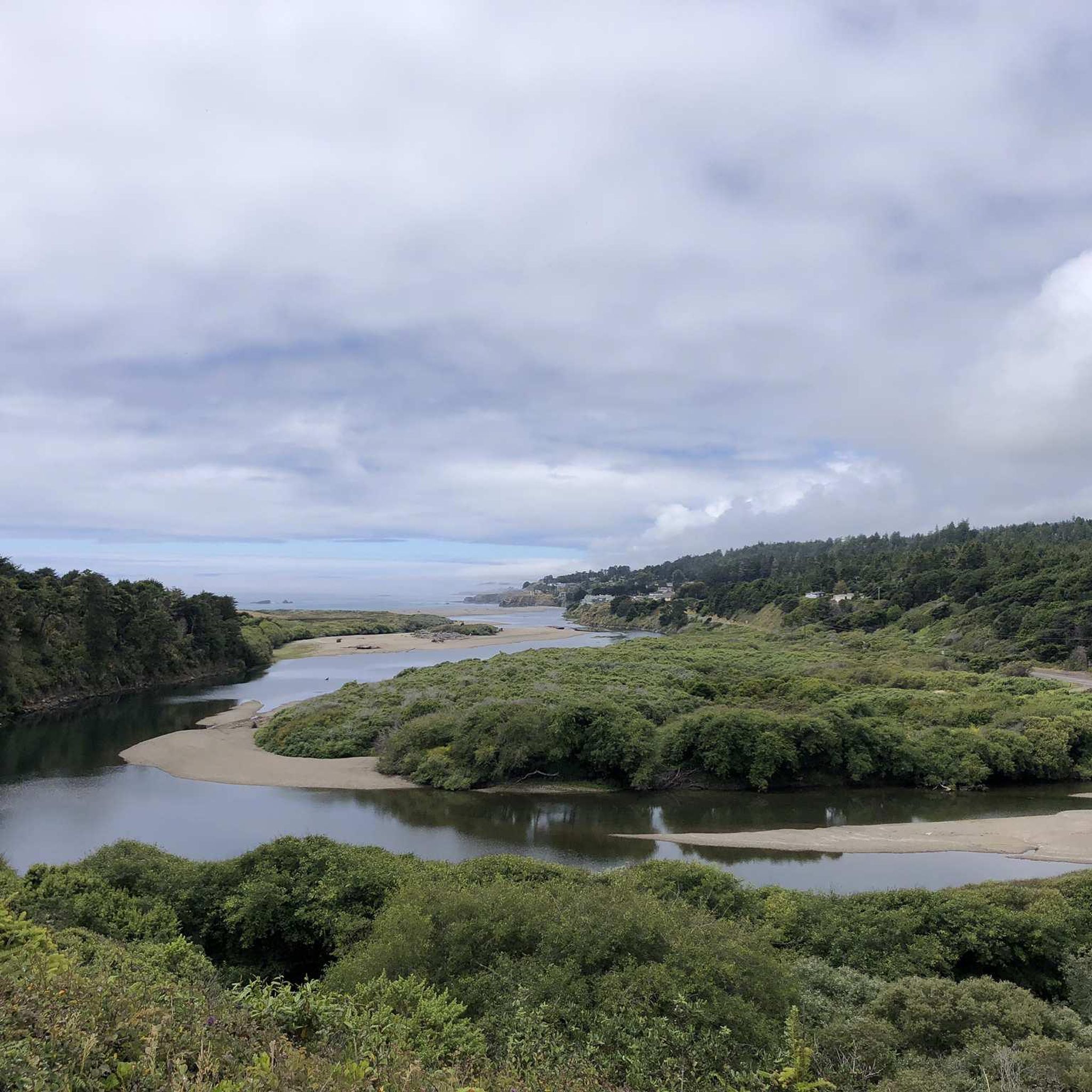
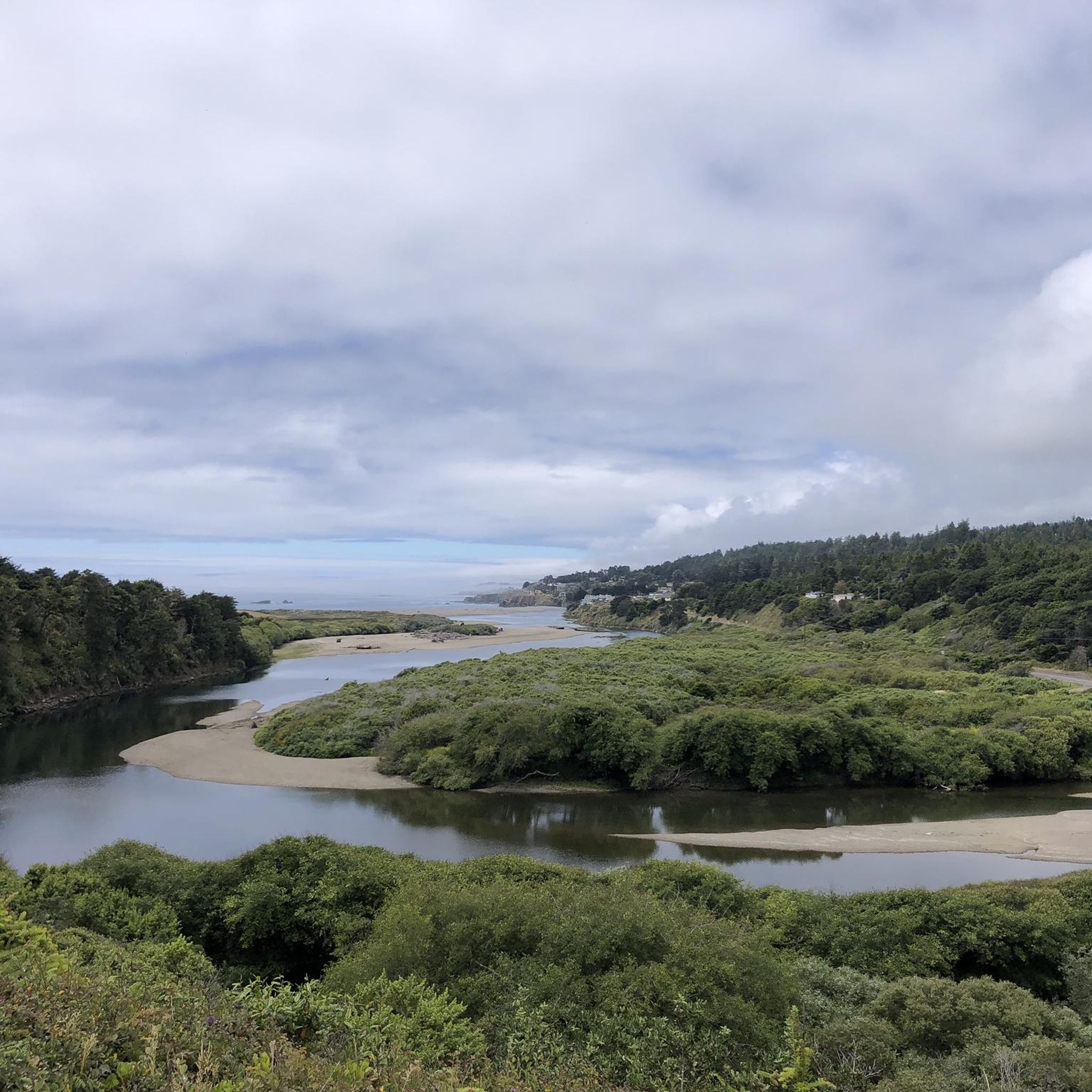
Touring cycling in Gualala Point Regional Park offers routes through diverse coastal and forested landscapes. The park is situated at the mouth of the Gualala River, where it meets the Pacific Ocean, providing a mix of river, estuary, and ocean environments. Towering redwoods and old-growth Douglas fir trees characterize the forested areas, while coastal bluffs offer views of the Pacific. The region features both paved and unpaved paths, with a notable 1.75-mile paved trail connecting the visitor center to the bluff top.
Best touring cycling routes in Gualala Point Regional Park
- The most popular touring cycling route is Anchor Bay – Anchor Bay Campground loop from Gualala, a 31.2 miles (50.2 km) trail that takes 3 hours 21 minutes to complete. This difficult route features significant elevation gain through coastal and forested terrain.
- Another top favourite among local touring cyclists is Cafe With Ocean View loop from Gualala, a moderate 17.4 miles (28.0 km) path. This route offers scenic views, including coastal vistas and opportunities to pass by local establishments.
- Local touring cyclists also love the Anchor Bay Campground – Gualala River bridge loop from Anchor Bay, a 44.0 miles (70.8 km) trail leading through varied coastal and riverine landscapes, often completed in about 4 hours 20 minutes.
- Touring cycling in Gualala Point Regional Park is defined by coastal bluffs, river estuaries, and redwood forests. The network offers options for different ability levels, from moderate loops to more challenging routes with significant elevation changes.
- The guide includes highly-rated routes that showcase the best of the region's landscape. More than 35 touring cyclists have used komoot to explore Gualala Point Regional Park's varied terrain.
Last updated: July 11, 2026
7
riders
142km
09:45
2,290m
2,290m
Hard bike ride. Very good fitness required. Mostly paved surfaces. Suitable for all skill levels.
4
riders
50.2km
03:21
800m
800m
Hard bike ride. Very good fitness required. Mostly paved surfaces. Suitable for all skill levels.

Sign up for free
6
riders
28.0km
01:45
280m
280m
Moderate bike ride. Good fitness required. Mostly paved surfaces. Suitable for all skill levels.
11
riders
50.1km
03:41
1,090m
1,090m
Hard bike ride. Very good fitness required. Mostly paved surfaces. Suitable for all skill levels.
4
riders
70.7km
04:21
680m
680m
Hard bike ride. Very good fitness required. Mostly paved surfaces. Suitable for all skill levels.
Our route recommendations are based on thousands of hikes, rides, and runs completed by other people on komoot.
Start today with a free account
Your next adventure awaits.
Login or Signup
Popular around Gualala Point Regional Park
Tips from the Community

Great views into the Russian River estuary. Just before the Bridge on the south side is a store for resupply and food. The small Willow Creek Road before the bridge to the north follows the river's south side with great views and access to trails up the mountain.
0
0


super nice and very tasty. also perfect for relaxing for a while.
0
0

With rocky cliffs as a backdrop, Stump Beach is a sandy cove overlooking the ocean in Salt Point State Park. The beach is at a major trail intersection and is hard to miss. You get a pretty cool perspective of the beach from up on top of the overhang area.
0
0

The Schooner Gulch area was inhabited by the central Pomo Indians. Russian and native Alaskan hunters were active in the area beginning around 1812, and Mexicans owned land in the area by the 1840s. Scottish immigrant John Galloway founded the Schooner Gulch settlement and established a wood milling business there in 1866. The Galloway mill only operated until 1868, but other mills operated there until the late 19th century, such as a mill owned by an A. Saunders (of quite large size, at 25,000 feet (7,600 meters) per day), built in 1875, Burned down in 1880 but was rebuilt this year. The Galloway School District was officially founded in 1874. Galloway School, a small school (never more than 40 students), was founded the same year and operated until 1936. The land around it was converted to farmland in the 1940s and is now forest. In 1912, Russian Baptist immigrants bringing steam-powered heavy equipment from Point Arena to their colony further south were crossing a bridge then spanning Schooner Gulch when the bridge collapsed under the weight of its eight-ton lead engine. Colonist Nicholas Pogsikoff was killed and buried at this site, but his grave is now lost. Schooner Gulch timber, like all timber in Mendocino County, was shipped by sea. Typically, the small dwellings that grew up around these mills were abandoned when the mills ran out of readily available wood and closed.
0
0

Just beautiful. We drove through it completely in the fog back then, but that also had something mystical about it!
0
0

Very quiet and beautiful beach, accessible from one side only
0
0
Sandy beach along a gorgeous deep cove in Salt Point State Park, surrounded by a rocky overhanging bluff on all sides except where Miller Creek descends down to the beach from the south. From the parking lot right off Highway 1 a trail to the ocean level is getting steeper at the end, where stairs lead down to the beach.
1
0
Frequently Asked Questions
How many touring cycling routes are available in Gualala Point Regional Park?
Komoot features 5 touring cycling routes in Gualala Point Regional Park. These routes offer a variety of experiences, from moderate coastal rides to more challenging loops through forested and riverine landscapes.
Are there any easy touring cycling routes for beginners or families?
While most routes in the guide are rated as difficult, the park does feature a 1.75-mile paved, ADA-accessible trail with gentle grades. This trail connects the visitor center and parking area to the bluff top at the beach, offering a smooth and scenic option suitable for many touring cyclists, including families.
What kind of terrain can I expect on touring cycling routes in Gualala Point Regional Park?
The terrain is diverse, ranging from paved paths along the coast to unpaved sections through redwood forests and along the Gualala River. You can expect coastal bluffs with dramatic ocean views, river estuaries, and lush forested areas with towering redwoods and old-growth Douglas fir trees. Some routes, like the Anchor Bay – Anchor Bay Campground loop from Gualala, feature significant elevation gain.
Are bikes allowed on all trails within Gualala Point Regional Park?
No, not all trails permit bikes. While there are dedicated cycling paths and multi-use trails, some specific trails, such as the Bluff Top Trail through The Sea Ranch community, do not allow bicycles. It's always best to check local signage or park information for specific trail regulations.
What are some scenic viewpoints or natural attractions to look out for while cycling?
The park is rich in natural beauty. You can enjoy dramatic ocean views from coastal bluffs, especially at Whale Watch Point, where migrating whales can be observed from January through May. The Gualala River itself is a significant feature, offering views of its estuary where it meets the Pacific Ocean. Routes like the Cafe With Ocean View loop from Gualala are known for their scenic coastal vistas.
Is there a good time of year to go touring cycling in Gualala Point Regional Park?
The Sonoma County coast generally offers pleasant conditions for cycling year-round. However, for whale watching opportunities, the period from January through May is ideal. The park's relatively uncrowded nature contributes to a peaceful experience, making it enjoyable in various seasons.
Are there any circular touring cycling routes in the area?
Yes, several routes in the guide are loops, allowing you to start and end in the same location. Examples include the challenging Anchor Bay – Anchor Bay Campground loop from Gualala and the moderate Cafe With Ocean View loop from Gualala, which offers scenic views and passes by local establishments.
Where can I park my car when visiting for a touring cycling trip?
The park offers parking areas, including one near the visitor center. The presence of a dedicated hiker/cyclist campsite within the park's campground also indicates facilities for those arriving by bike or car. For specific starting points of routes, refer to the individual tour details on komoot.
Are there facilities like restrooms or cafes along the touring cycling routes?
Gualala Point Regional Park provides practical amenities for visitors. The campground has restrooms with flush toilets and showers, and there are picnic areas. While specific cafes directly on trails might be limited, routes like the Cafe With Ocean View loop from Gualala pass by local establishments, suggesting opportunities for refreshments in nearby towns.
What are the most challenging touring cycling routes in Gualala Point Regional Park?
The majority of routes in this guide are rated as difficult, featuring significant elevation changes and longer distances. For instance, the Stillwater Cove Overlook – Jenner-by-the-Sea loop from Del Mar Recreation Center is a demanding 138 km route with over 2200 meters of elevation gain, suitable for experienced touring cyclists.
Can I camp overnight if I'm touring by bike?
Yes, Gualala Point Regional Park is welcoming to touring cyclists. The park's campground includes a dedicated hiker/cyclist campsite, making it a convenient option for those traveling by bike and looking for overnight accommodation.
What kind of wildlife might I see while cycling in the park?
Given the park's diverse environments—river, estuary, coast, and forest—you have opportunities to spot various wildlife. Along the coast, keep an eye out for marine life, especially migrating whales from January to May at Whale Watch Point. In the forested areas, you might encounter local bird species and other forest inhabitants.
Most popular routes in Gualala Point Regional Park

Get inspired with the komoot mobile app


Explore more
Browse the best Cycling routes in other regions.
