The best road cycling routes in Gualala Point Regional Park
108
riders
9
rides
Road cycling in Gualala Point Regional Park offers routes along the Sonoma Coast, characterized by varied coastal terrain and significant elevation changes. The region features scenic roads that traverse bluffs and offer views of the Pacific Ocean. Road cyclists can expect a mix of challenging climbs and rolling sections, with routes often looping through areas near the Gualala River and its redwood parks. This area provides diverse road cycling experiences within a coastal environment.
Best road cycling routes in Gualala…
Last updated: May 28, 2026
24
riders
59.7km
03:26
1,170m
1,170m
Hard road ride. Very good fitness required. Some segments of this route may be unpaved and difficult to ride.
21
riders
72.5km
03:39
980m
980m
Hard road ride. Very good fitness required. Mostly well-paved surfaces and easy to ride.

Sign up for free
19
riders
55.5km
02:30
470m
470m
Moderate road ride. Good fitness required. Some segments of this route may be unpaved and difficult to ride.
14
riders
82.6km
04:09
860m
860m
Moderate road ride. Good fitness required. Some segments of this route may be unpaved and difficult to ride.
4
riders
37.2km
02:08
620m
620m
Moderate road ride. Good fitness required. Mostly well-paved surfaces and easy to ride.
Get access to more routes and recommendations from other explorers.
Sign up for free
Already have an account?
Our route recommendations are based on thousands of hikes, rides, and runs completed by other people on komoot.
Start today with a free account
Your next adventure awaits.
Login or Signup
Popular around Gualala Point Regional Park
Tips from the Community

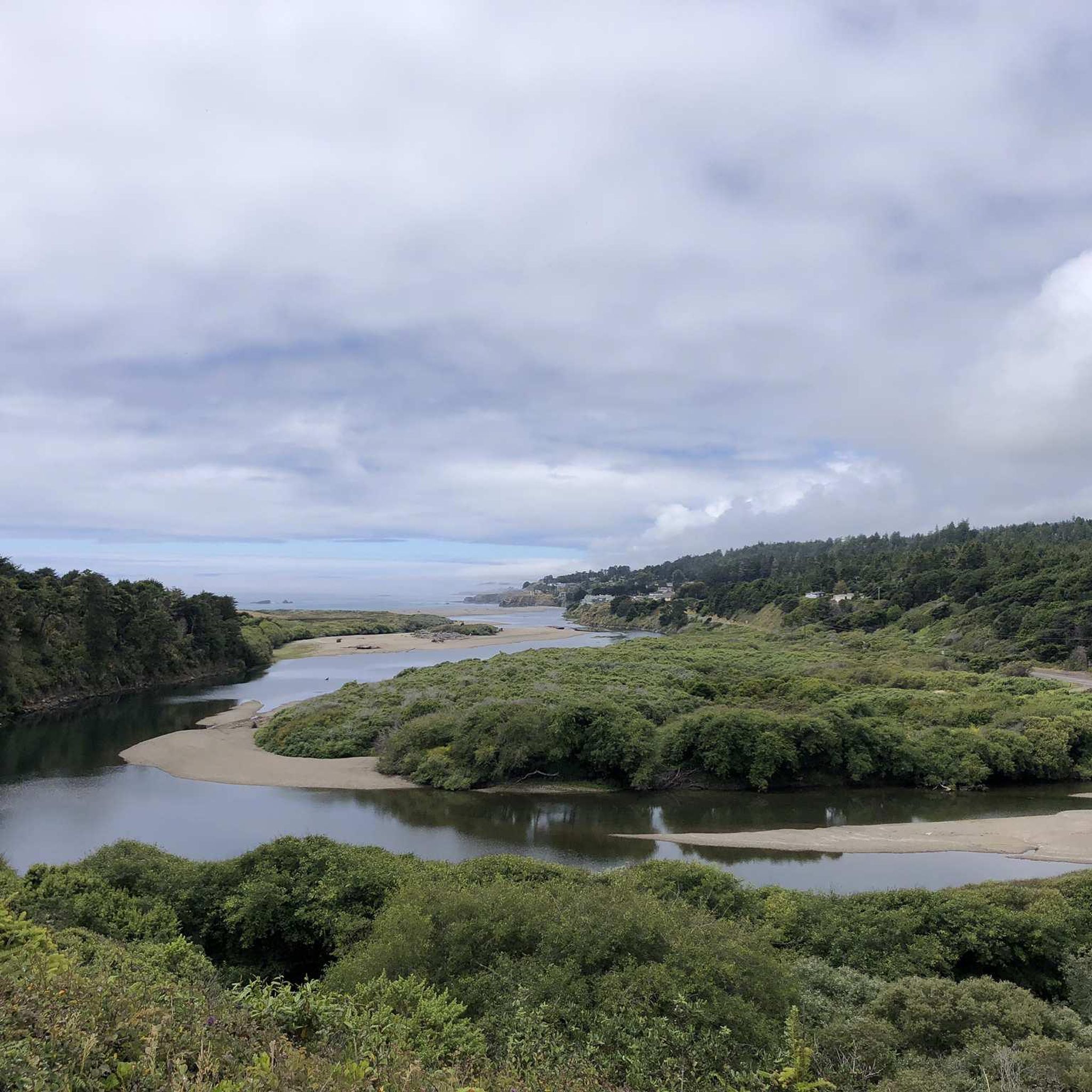
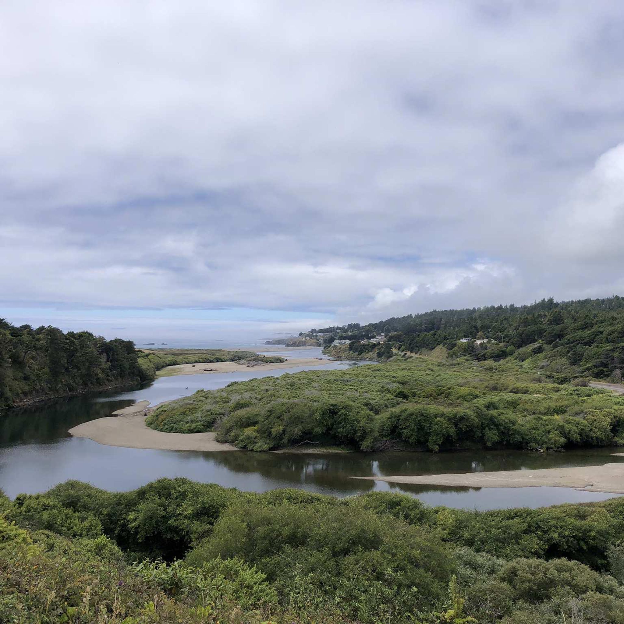
From this spot, you get fantastic views of the Point Area Lighthouse. This is a great place to snap a few photos and soak in the panoramic ocean views.
0
0
The Point Arena Lighthouse is located on California's Mendocino Coast and stands as a historic beacon overlooking the Pacific Ocean. Originally built in 1870, it was rebuilt after the 1906 earthquake as the 115-foot white tower you see today. It is actually one of the tallest on the West Coast! Visitors can explore its interior on guided tours, ascending 145 steps for panoramic ocean views, and learn about its history through exhibits in the Fog Signal Building, which also offers museum displays. The lighthouse grounds, which are part of the Point Arena-Stornetta Public Lands, provide opportunities for hiking and wildlife viewing, making it a great spot to spend the afternoon exploring along the Mendocino Coast.
0
0

With rocky cliffs as a backdrop, Stump Beach is a sandy cove overlooking the ocean in Salt Point State Park. The beach is at a major trail intersection and is hard to miss. You get a pretty cool perspective of the beach from up on top of the overhang area.
0
0

The Schooner Gulch area was inhabited by the central Pomo Indians. Russian and native Alaskan hunters were active in the area beginning around 1812, and Mexicans owned land in the area by the 1840s. Scottish immigrant John Galloway founded the Schooner Gulch settlement and established a wood milling business there in 1866. The Galloway mill only operated until 1868, but other mills operated there until the late 19th century, such as a mill owned by an A. Saunders (of quite large size, at 25,000 feet (7,600 meters) per day), built in 1875, Burned down in 1880 but was rebuilt this year. The Galloway School District was officially founded in 1874. Galloway School, a small school (never more than 40 students), was founded the same year and operated until 1936. The land around it was converted to farmland in the 1940s and is now forest. In 1912, Russian Baptist immigrants bringing steam-powered heavy equipment from Point Arena to their colony further south were crossing a bridge then spanning Schooner Gulch when the bridge collapsed under the weight of its eight-ton lead engine. Colonist Nicholas Pogsikoff was killed and buried at this site, but his grave is now lost. Schooner Gulch timber, like all timber in Mendocino County, was shipped by sea. Typically, the small dwellings that grew up around these mills were abandoned when the mills ran out of readily available wood and closed.
0
0

The Point Arena Lighthouse (https://pointarenalighthouse.com) is located a couple of miles off the highway. The road to Point Arena is unsheltered, so expect it to be a windy ride. A non-profit organization runs the place, along with a gift shop and cottages for rent. I arrived near closing time, and they let me approach the base of the lighthouse admission-free.
0
0

Just beautiful. We drove through it completely in the fog back then, but that also had something mystical about it!
0
0

Very quiet and beautiful beach, accessible from one side only
0
0

Sandy beach along a gorgeous deep cove in Salt Point State Park, surrounded by a rocky overhanging bluff on all sides except where Miller Creek descends down to the beach from the south. From the parking lot right off Highway 1 a trail to the ocean level is getting steeper at the end, where stairs lead down to the beach.
1
0
Frequently Asked Questions
What is the general difficulty level for road cycling routes in Gualala Point Regional Park?
Road cycling in Gualala Point Regional Park is generally considered moderate to difficult. The terrain features significant elevation changes and challenging coastal sections. There are 4 moderate routes and 2 difficult routes available for exploration.
Are there any beginner-friendly road cycling routes in Gualala Point Regional Park?
The road cycling routes in Gualala Point Regional Park are primarily moderate to difficult, characterized by varied coastal terrain and elevation changes. There are no routes specifically classified as easy, so beginners should be prepared for some challenges.
What are the typical distances of road bike trails in Gualala Point Regional Park?
The road bike trails in Gualala Point Regional Park vary in distance, generally ranging from approximately 23 to 45 miles. For example, the Fish Rock Road loop from TSRA Marine Preserve is about 23 miles (37 km), while the View to Point Arena Lighthouse – Point Arena Lighthouse loop from Gualala covers about 45 miles (72.5 km).
Where can I find parking for road biking in Gualala Point Regional Park?
Parking is typically available at various access points to the park and along the coastal highway. Many routes, such as the View from Timber Cove Road loop and the Fish Rock Road loop, start from the TSRA Marine Preserve, which offers parking facilities.
What is the best season for road biking in Gualala Point Regional Park?
The Sonoma Coast, including Gualala Point Regional Park, generally offers pleasant cycling conditions from late spring through early fall. During these months, you can expect milder temperatures and less rain, making for more enjoyable rides along the bluffs and coastal roads. However, always check local weather forecasts as coastal conditions can change rapidly.
Are there any family-friendly road bike routes in Gualala Point Regional Park?
Given the moderate to difficult classification and significant elevation changes of the routes, Gualala Point Regional Park's road cycling trails are generally more suited for experienced cyclists rather than families with young children or those seeking very easy, flat rides. Consider routes with less elevation gain if cycling with family members who are less experienced.
What kind of viewpoints can I expect along the road bike routes in Gualala Point Regional Park?
Road cycling routes in Gualala Point Regional Park are renowned for their expansive coastal views. You can expect panoramic vistas of the Pacific Ocean, dramatic bluffs, and scenic overlooks. The View to Point Arena Lighthouse loop, for instance, offers stunning views towards the iconic Point Arena Lighthouse.
Are there any loop road bike trails in Gualala Point Regional Park?
Yes, many of the road cycling routes in Gualala Point Regional Park are designed as loops, allowing you to start and end at the same point. Examples include the Black Point Beach loop from Gualala and the Coast off Gallaway loop from Sea Ranch.
What kind of wildlife might I see while road biking in Gualala Point Regional Park?
While cycling along the coast, you might spot various marine wildlife such as seals, sea lions, and migrating whales during certain seasons. Inland sections near the Gualala River and redwood parks could offer glimpses of birds and other local fauna. Always maintain a respectful distance from wildlife.
Are there cafes or places to refuel near the road bike trails?
The town of Gualala, located near the park, offers several options for cafes, restaurants, and grocery stores where you can refuel before or after your ride. Depending on your chosen route, other small coastal communities like Point Arena or Sea Ranch may also have amenities available.
How many road cycling routes are available in Gualala Point Regional Park?
There are 6 road cycling routes available in Gualala Point Regional Park, offering diverse experiences along the Sonoma Coast. These routes range from moderate to difficult in terms of challenge.
What do other road cyclists enjoy most about road cycling in Gualala Point Regional Park?
Road cyclists frequently praise the stunning coastal views, the challenging yet rewarding terrain, and the opportunity to explore the unique Sonoma Coast landscape. The varied elevation changes and ocean vistas are often highlighted as key attractions.
What should I wear for road biking in Gualala Point Regional Park?
Due to the coastal environment, weather can be variable. It's advisable to wear layers that can be adjusted for temperature changes, wind, and potential fog. Sun protection, including sunscreen and sunglasses, is also essential, even on overcast days.
Most popular routes in Gualala Point Regional Park

Get inspired with the komoot mobile app


Explore more
Browse the best Road cycling routes in other regions.
