The best road cycling routes in West Arm Provincial Park
5.0
(1)
119
riders
5
rides
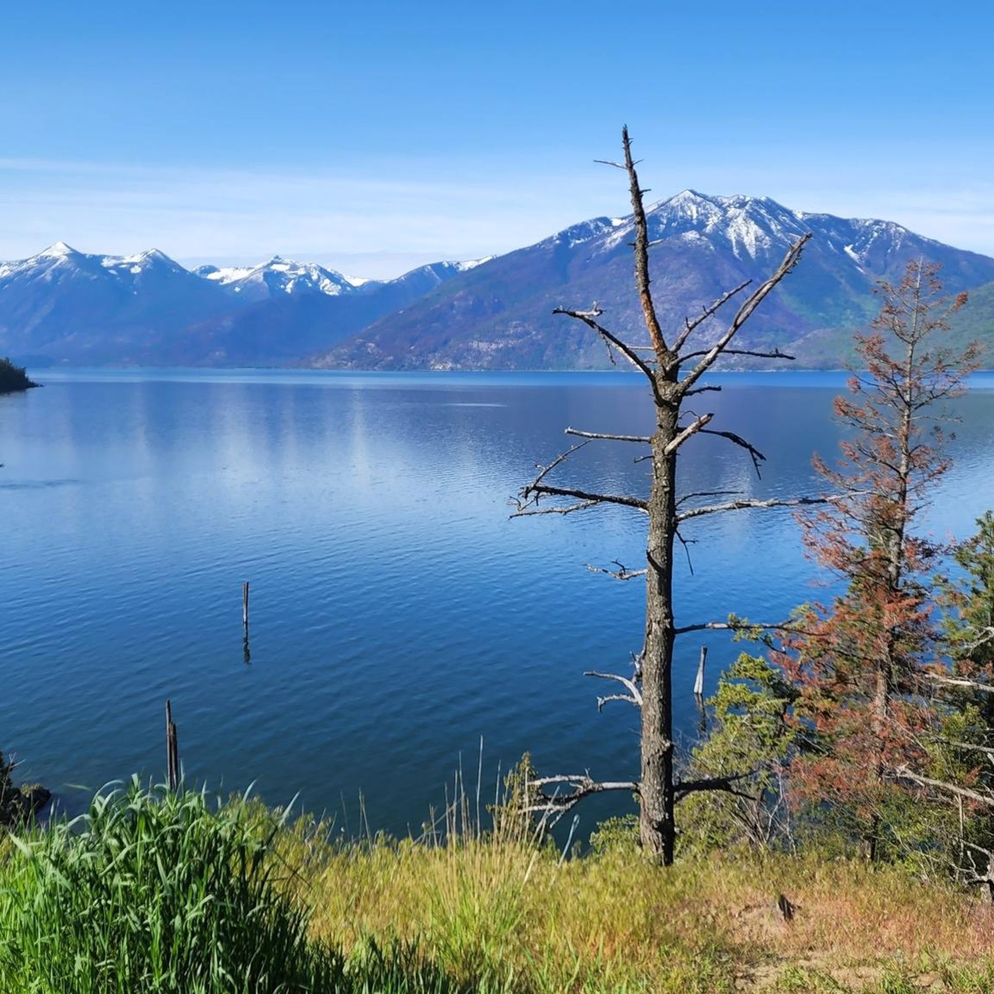
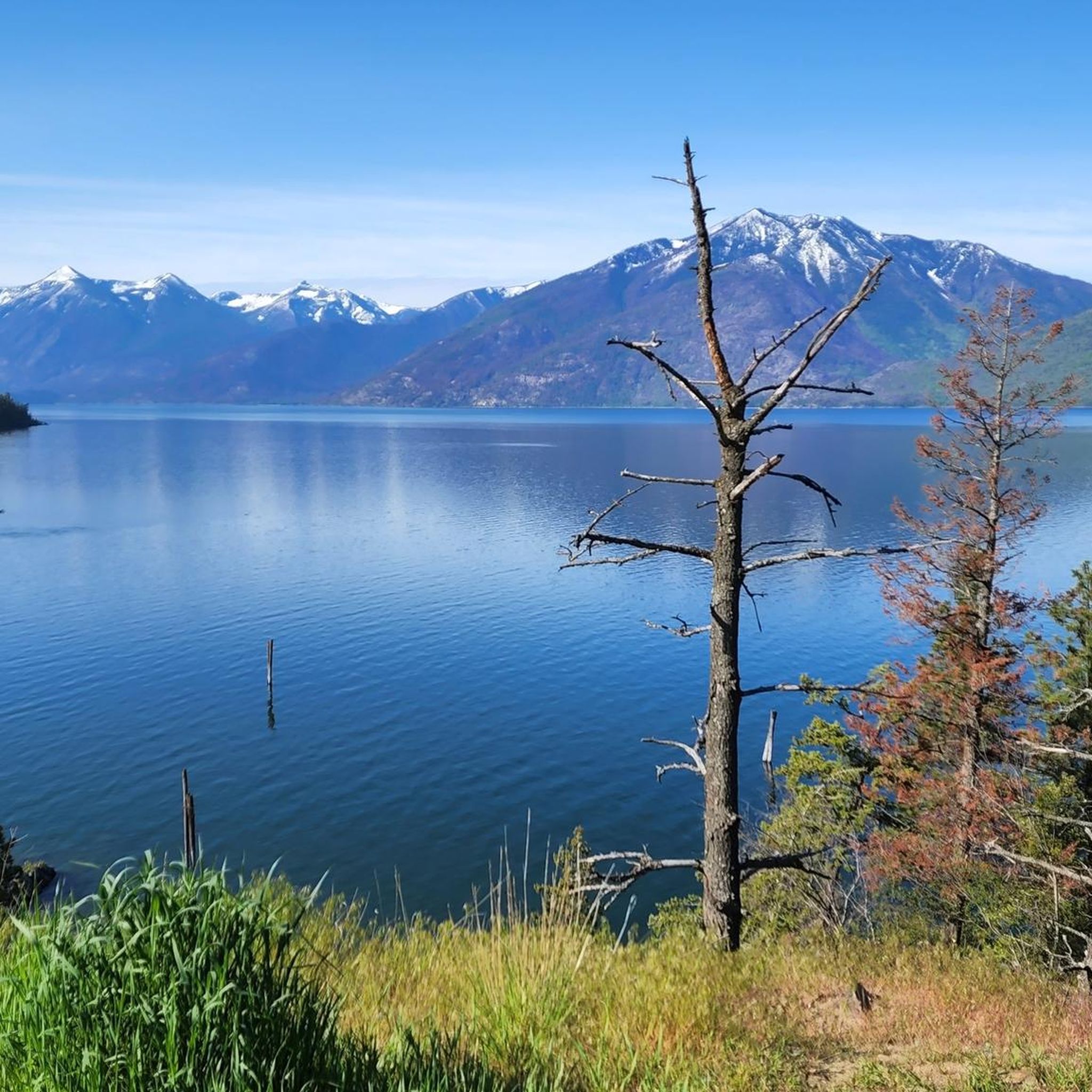
Road cycling routes in West Arm Provincial Park traverse a region characterized by the West Arm of Kootenay Lake, subalpine forests, and surrounding mountain landscapes. The area offers a mix of smoothly paved, winding waterfront roads and access to quiet backcountry routes. Cyclists can experience diverse natural features, from the lakeshore to higher elevations, providing varied terrain for road cycling. The park's environs, particularly around Nelson, are well-regarded for their scenic cycling opportunities.
Best road cycling routes in West Arm…
Last updated: June 27, 2026
6
riders
25.3km
01:21
490m
490m
Moderate road ride. Good fitness required. Mostly well-paved surfaces and easy to ride.
23
riders
37.5km
01:36
320m
320m
Moderate road ride. Good fitness required. Mostly well-paved surfaces and easy to ride.

Sign up for free
10
riders
21.6km
00:56
190m
190m
Easy road ride. Great for any fitness level. Mostly well-paved surfaces and easy to ride.
7
riders
142km
07:00
1,990m
1,990m
Hard road ride. Very good fitness required. Some segments of this route may be unpaved and difficult to ride.
5.0
(1)
26
riders
84.3km
03:43
800m
800m
Moderate road ride. Good fitness required. Mostly well-paved surfaces and easy to ride.
Our route recommendations are based on thousands of hikes, rides, and runs completed by other people on komoot.
Start today with a free account
Your next adventure awaits.
Login or Signup
Popular around West Arm Provincial Park

Tips from the Community

From here you can access the short Waldie Island Trail. Though only 1.5 kilometres long, the trail takes you through prime Great Blue Heron habitat, and if you're lucky you'll have a close encounter of the feathered kind.
1
0

There are numerous MTB trails in Nelson. Some of the best known include Codgers Mountain Bike Park, Sharlands Forest and Kaiteriteri Mountain Bike Park.
2
0
Nelson was founded in 1841 and is one of the oldest cities in New Zealand. Its name comes from Admiral Horatio Nelson, hero of the Battle of Trafalgar.
3
1
This bridge was used until 1966, when it fell into disuse. In 1995, it was restored and reopened as a historic site, allowing pedestrians and cyclists to pass through. Offers a stunning view of the Kootenay River and
3
0
It was built in 1913 by the Doukhobor community to provide access to agricultural land across the Kootenay River.
3
0
Frequently Asked Questions
What kind of road cycling routes can I expect in the West Arm Provincial Park area?
The region around West Arm Provincial Park offers a diverse range of road cycling experiences. You'll find smoothly paved, winding waterfront roads along Kootenay Lake, as well as access to quieter backcountry routes. The terrain varies from lakeside areas with gentle hills to more challenging climbs into higher elevations, providing options for different ability levels.
Are there road cycling routes suitable for beginners or families in West Arm Provincial Park?
Yes, there are routes well-suited for beginners and families. For instance, the Roberts Bay loop from Nelson is an easy 13.4-mile (21.6 km) trail featuring lakeside areas and gentle hills. These routes offer a pleasant experience without overly demanding climbs.
What options are available for experienced road cyclists seeking a challenge?
Experienced road cyclists looking for a challenge will find several demanding routes. The Brilliant Suspension Bridge – Nelson loop from Nelson is a difficult 87.3-mile (140.5 km) ride with significant elevation gain. Another challenging option is the Kokanee Creek – Mirror Lake loop from Nelson, covering 79.8 miles (128.5 km) with substantial climbs.
How many road cycling routes are featured in this guide for West Arm Provincial Park?
This guide features 6 highly-rated road cycling routes in the West Arm Provincial Park area, offering a variety of distances and difficulty levels to explore the region's scenic landscapes.
What is the best time of year for road cycling in the West Arm Provincial Park area?
The best time for road cycling in the West Arm Provincial Park area is typically from spring through fall. During these seasons, road conditions are generally favorable, and the weather is pleasant for enjoying the scenic routes around Kootenay Lake and the surrounding mountains.
Are there places to stop for refreshments or food along the road cycling routes?
Yes, many routes originate from or pass through Nelson, which offers numerous cafes and eateries. Additionally, the region features charming small towns along Kootenay Lake where you can find well-placed cafes and other amenities to refuel during your ride.
What are the typical distances and durations of road cycling routes in the area?
The routes in this guide vary significantly in distance and duration. You can find shorter loops like the Roberts Bay loop from Nelson, which is 13.4 miles (21.6 km) and takes about 56 minutes. Longer, more challenging rides, such as the Brilliant Suspension Bridge – Nelson loop from Nelson, can extend to 87.3 miles (140.5 km) and take over 7 hours to complete.
Can I expect scenic viewpoints along the road cycling routes?
Absolutely. The road cycling routes in the West Arm Provincial Park area are renowned for their stunning scenery. You'll encounter sweeping views of Kootenay Lake, the surrounding mountains, and lush forests. Routes often follow the lakeshore, providing picturesque vistas throughout your ride.
Is public transport available to access road cycling routes in the West Arm Provincial Park area?
While direct public transport into the provincial park itself is limited, many popular road cycling routes, such as the Nelson loop from Nelson, start directly from the city of Nelson. Nelson is a central hub in the region, and you can often find local transport options to get there, making it a convenient starting point for many rides.
What kind of wildlife might I encounter while road cycling in this region?
The West Arm Provincial Park area is rich in diverse ecosystems. While road cycling, you might spot various bird species, deer, and smaller mammals. The park is also known for protecting significant habitats for species like grizzly bears and mountain caribou, though encounters with these larger animals on paved roads are less common. Always be aware of your surroundings and respect wildlife.
Are there any circular road cycling routes available?
Yes, many of the featured routes are circular, allowing you to start and end your ride in the same location. Examples include the Nelson loop from Nelson, the Roberts Bay – Crescent Bay loop from Nelson, and the Roberts Bay loop from Nelson, all designed as convenient loops.
What are the road conditions generally like for cycling in the West Arm Provincial Park region?
The road cycling in this region is characterized by smoothly paved surfaces, especially along the main routes around Kootenay Lake. While some routes may venture onto quieter backcountry roads, the focus for road cycling is on well-maintained pavement, offering a comfortable and enjoyable riding experience.
Most popular routes in West Arm Provincial Park

Get inspired with the komoot mobile app


Explore more
Browse the best Road cycling routes in other regions.
