The best running trails in West Arm Provincial Park
4.5
(2)
150
runners
9
runs
Jogging routes in West Arm Provincial Park are set within a rugged, largely undeveloped wilderness along the south shore of Kootenay Lake in British Columbia. The park features diverse ecosystems, ranging from serene lakeshore areas to subalpine and high-elevation forests, and parts of the Selkirk Mountains. While extensive maintained trails are scarce, the terrain offers a mix of natural features suitable for adventurous running, including varied surfaces and elevation changes.
Best jogging routes in West Arm Provincial Park
- The most…
Last updated: June 27, 2026
39
runners
7.63km
00:49
90m
90m
Moderate run. Good fitness required. Mostly paved surfaces. Suitable for all skill levels.
5.0
(1)
14
runners
18.5km
02:02
340m
340m
Hard run. Very good fitness required. Mostly paved surfaces. Suitable for all skill levels.

Sign up for free
16
runners
10.8km
01:09
80m
80m
Moderate run. Good fitness required. Mostly paved surfaces. Suitable for all skill levels.
15
runners
10.4km
01:08
70m
70m
Moderate run. Good fitness required. Mostly paved surfaces. Suitable for all skill levels.
3
runners
9.52km
01:08
220m
220m
Moderate run. Good fitness required. Mostly paved surfaces. Suitable for all skill levels.
Get access to more routes and recommendations from other explorers.
Sign up for free
Already have an account?
Our route recommendations are based on thousands of hikes, rides, and runs completed by other people on komoot.
Start today with a free account
Your next adventure awaits.
Login or Signup
Popular around West Arm Provincial Park
Tips from the Community

There are numerous MTB trails in Nelson. Some of the best known include Codgers Mountain Bike Park, Sharlands Forest and Kaiteriteri Mountain Bike Park.
2
0
Nelson was founded in 1841 and is one of the oldest cities in New Zealand. Its name comes from Admiral Horatio Nelson, hero of the Battle of Trafalgar.
3
1
Frequently Asked Questions
What kind of terrain can I expect on running routes in West Arm Provincial Park?
Running routes in West Arm Provincial Park are set within a rugged, largely undeveloped wilderness. You'll find diverse ecosystems, from serene Kootenay Lake shoreline paths to subalpine and high-elevation forests. While extensive maintained trails are scarce, the terrain offers a mix of natural features suitable for adventurous running, including varied surfaces and elevation changes. Expect more rugged paths suitable for trail running rather than smooth, prepared surfaces.
Are there any easy or moderate running trails for beginners in West Arm Provincial Park?
Yes, while many routes can be challenging, there are options for moderate difficulty. For instance, the Lakeside path loop from Nelson is a moderate 4.3-mile (7.0 km) path that follows the Kootenay Lake shoreline, offering scenic views with minimal elevation change. Another moderate option is the Lakeside path – Nelson loop from Nelson, which is about 6.7 miles (10.8 km) long.
What are some of the more challenging running routes in the park?
For experienced trail runners seeking a challenge, West Arm Provincial Park offers several difficult routes with significant elevation gain. The Running loop from Nelson is a popular difficult route, spanning 8.6 miles (13.8 km) with considerable ascent. Another demanding option is the Nelson – The Great Northern Rail Trail loop from Nelson, an 11.6-mile (18.6 km) trail leading through varied landscapes.
Are there any circular running routes available?
Yes, many of the running routes in West Arm Provincial Park are designed as loops, allowing you to start and finish in the same location. Examples include the popular Running loop from Nelson, the Lakeside path loop from Nelson, and the Nelson – The Great Northern Rail Trail loop from Nelson.
What natural features or viewpoints can I expect to see while running?
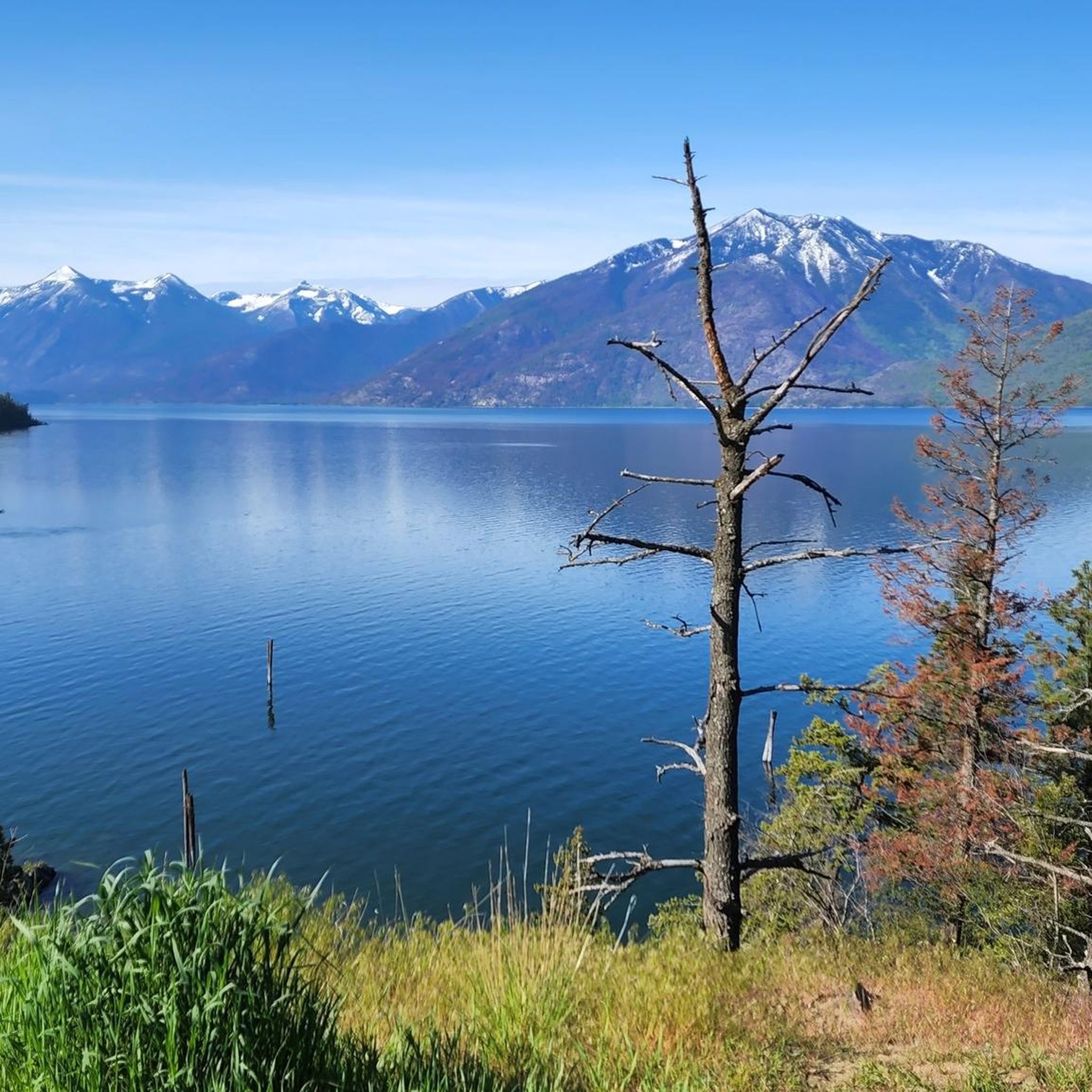
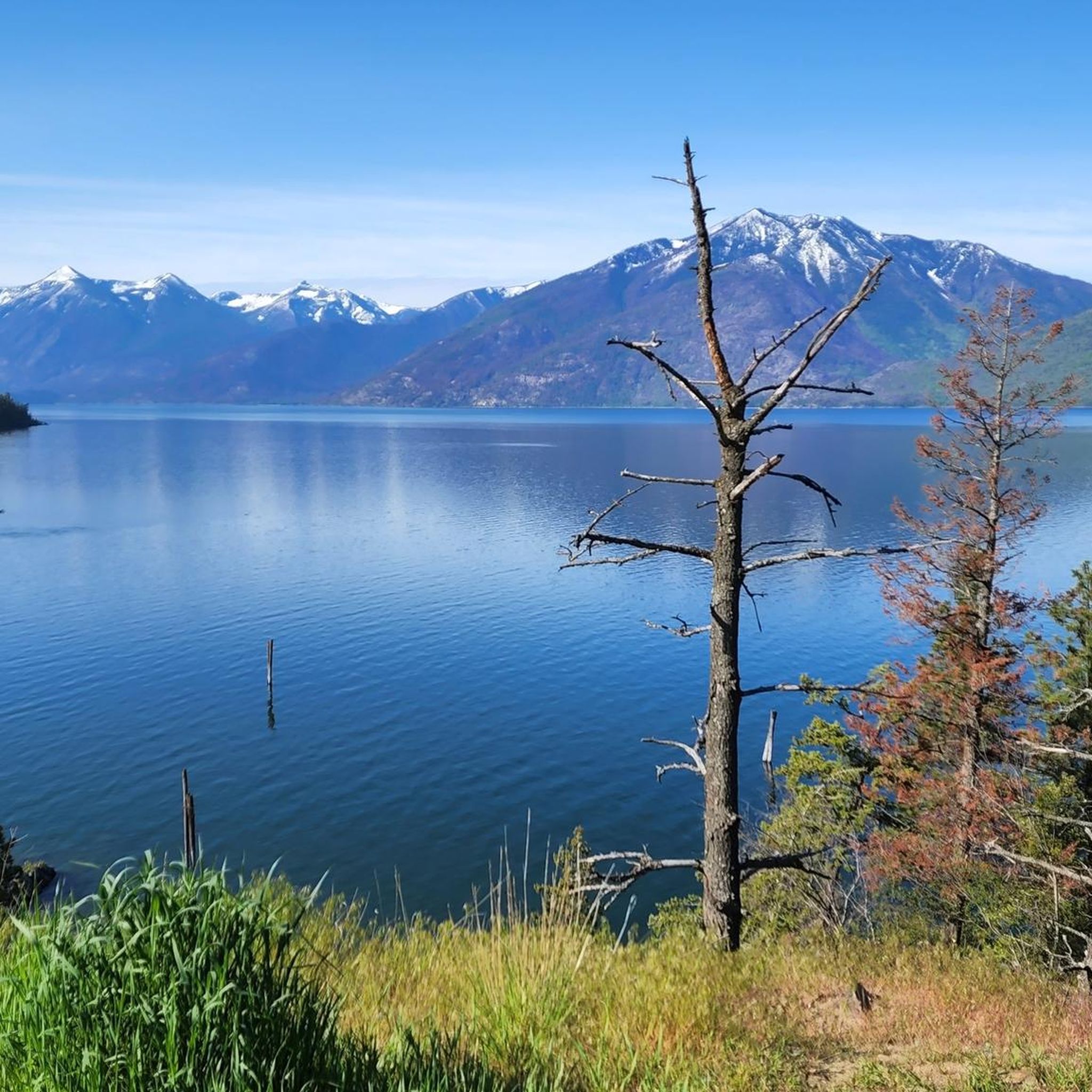
West Arm Provincial Park offers stunning natural beauty. You'll encounter the serene Kootenay Lake shoreline, diverse ecosystems ranging from old-growth forests to subalpine areas, and panoramic views of the surrounding Selkirk Mountains. The park also protects crucial watersheds and contains significant old-growth forests.
Is West Arm Provincial Park suitable for family-friendly jogging or walks?
Given its largely undeveloped and rugged nature, West Arm Provincial Park is more suited for experienced hikers and trail runners. While some lakeside paths might be manageable for families, many trails are unmaintained and pass through prime bear habitat. For easier, family-friendly options, consider the less strenuous sections along the Kootenay Lake shoreline, like parts of the Lakeside path loop from Nelson.
Can I bring my dog on the running trails in West Arm Provincial Park?
West Arm Provincial Park is generally dog-friendly, but it's crucial to keep your dog on a leash at all times to protect wildlife and ensure their safety, especially given the presence of bears. Always practice responsible pet ownership and pack out any waste.
What is the best time of year to go running in West Arm Provincial Park?
The best time for running in West Arm Provincial Park is typically during the warmer months, from late spring through early autumn. During this period, trails are generally free of snow, and the weather is more conducive to outdoor activities. However, be aware that the park is largely undeveloped, and trails can be unmaintained, so conditions can vary. Always check local weather and trail conditions before heading out.
Are there any specific safety considerations for running in West Arm Provincial Park?
Yes, due to the park's rugged and undeveloped nature, several safety considerations are important. Trails can be unmaintained and pass through prime bear habitat, so bear awareness and safety precautions are essential. This includes carrying bear spray, making noise, and knowing how to react to wildlife encounters. It's also advisable to inform someone of your route and expected return time, and to carry sufficient water and supplies as services are limited.
Where can I find parking or access public transport for the running routes?
Many running routes, such as those starting from Nelson, offer convenient access. For routes like the Running loop from Nelson or the Lakeside path loop from Nelson, you can typically find parking within or near Nelson, which borders the park. Public transport options to Nelson are available, and some trails, like the Svoboda Road trails, connect directly from the edge of Nelson into the park.
Are there any cafes or accommodation options near the running trails?
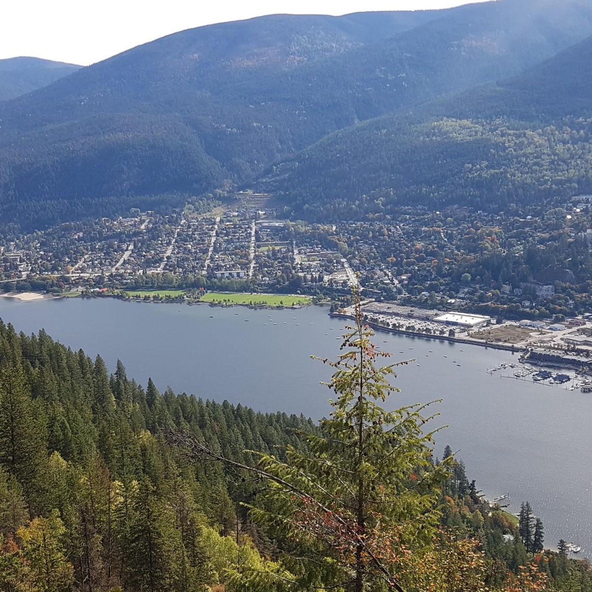
While West Arm Provincial Park itself is largely undeveloped, the nearby city of Nelson offers a wide range of amenities. You'll find numerous cafes, restaurants, and accommodation options in Nelson, making it a convenient base for exploring the park's running routes. Many trails, like the Red Sands Nude Beach – Lakeside Beach loop from Nelson, start directly from the city's vicinity.
How many running routes are available in West Arm Provincial Park?
There are over 9 running routes documented in West Arm Provincial Park, offering a variety of distances and difficulty levels for trail runners and joggers.
Most popular routes in West Arm Provincial Park

Get inspired with the komoot mobile app


Explore more
Browse the best Running Trails & Routes in other regions.
