The best road cycling routes in Wildlife Corridor
4.4
(20)
1,370
riders
5
rides
Road cycling routes in Wildlife Corridor traverse a landscape characterized by natural and semi-natural habitats designed to facilitate wildlife movement. The region features diverse terrain, including riparian buffers along rivers and streams, expansive grasslands, and dense forests, often set within mountain ranges and valleys. These natural pathways provide continuous, often undisturbed, environments for cyclists, with routes frequently incorporating repurposed historical paths. The area's ecological design offers scenic and immersive experiences for road cyclists.
Best road cycling routes in Wildlife Corridor
…Last updated: July 10, 2026
3.7
(9)
473
riders
46.3km
01:53
290m
290m
Easy road ride. Great for any fitness level. Mostly well-paved surfaces and easy to ride.
5.0
(1)
265
riders
Moderate road ride. Good fitness required. Mostly well-paved surfaces and easy to ride.

Sign up for free
5.0
(2)
107
riders
70.3km
02:55
460m
460m
Moderate road ride. Good fitness required. Mostly well-paved surfaces and easy to ride.
19
riders
26.1km
01:15
250m
250m
Moderate road ride. Great for any fitness level. Some segments of this route may be unpaved and difficult to ride.
4.0
(8)
506
riders
74.6km
03:17
680m
680m
Moderate road ride. Good fitness required. Some segments of this route may be unpaved and difficult to ride.
Our route recommendations are based on thousands of hikes, rides, and runs completed by other people on komoot.
Start today with a free account
Your next adventure awaits.
Login or Signup

Tips from the Community

This section of the Trans Canada Trail passes through Canmore, offering a journey through both the town’s history and its mountain landscape. Along the route you’ll see reminders of Canmore’s coal mining past, modern neighbourhoods, and areas connected to the 1988 Winter Olympics, when nearby trails hosted cross-country skiing events. The multi-use path is open year-round and used for walking, hiking, cycling, and cross-country skiing in winter. Near downtown, the trail also passes a pavilion celebrating the volunteers and communities who helped build the Trans Canada Trail.
0
0
The Trans Canada Trail Information Kiosk is a quick stop where you can check maps, local route details, and nearby trail connections before heading out. It sits right along the pathway, making it an easy spot to orient yourself, plan your next section, or take a short break. A simple but useful waypoint on this stretch of the Trans Canada Trail.
0
0
Situated just minutes from the town of Banff, Cascade Ponds is a popular picnic and walking area at the base of Cascade Mountain. A network of small bridges connects several ponds, creating easy loops with stunning reflections of the surrounding peaks. It’s a favourite spot for families and photographers, especially in early morning or evening light when the water is calm and mirror-like.
0
0
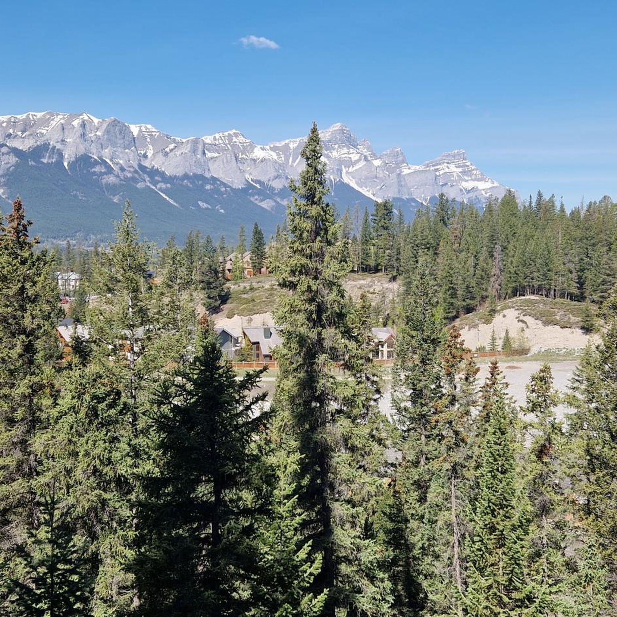
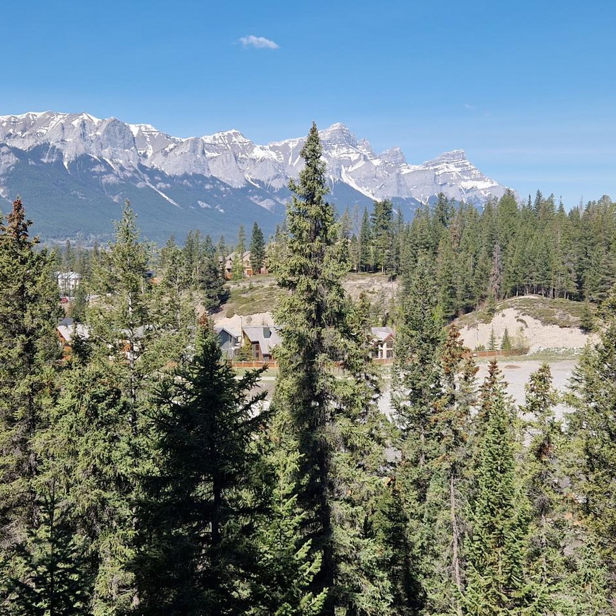
Located on the outskirts of Canmore, Three Sisters Mountain Village sits at the base of the peaks that share its name — the Big, Middle, and Little Sister. The community is surrounded by trail networks that connect to the Bow Valley Wildland and offer easy access to forest paths, mountain views, and the Bow River. It’s a scenic starting point for hikes toward the Three Sisters range or for exploring Canmore’s nearby trail systems.
0
0

The wildlife that come out on this trail is amazing. Maybe the lack of cars on the road make for a quieter environment them. I have seen black bears (with cubs), Rocky Mountain sheep and a cougar, for the first time in the wild.
0
0

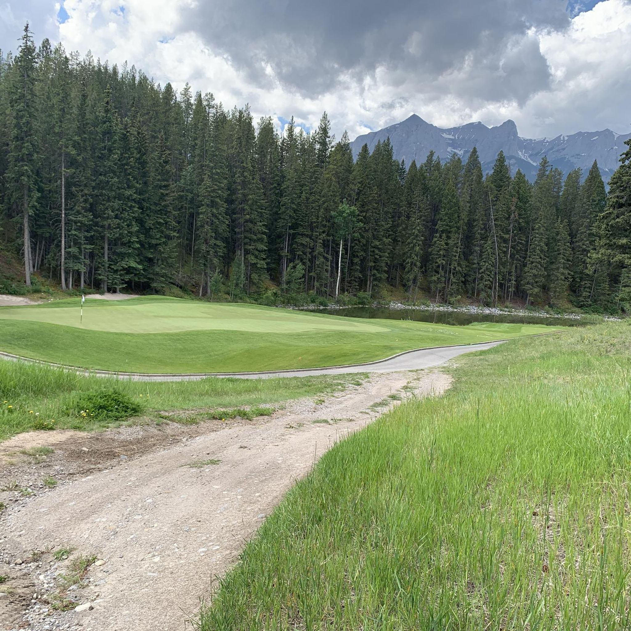
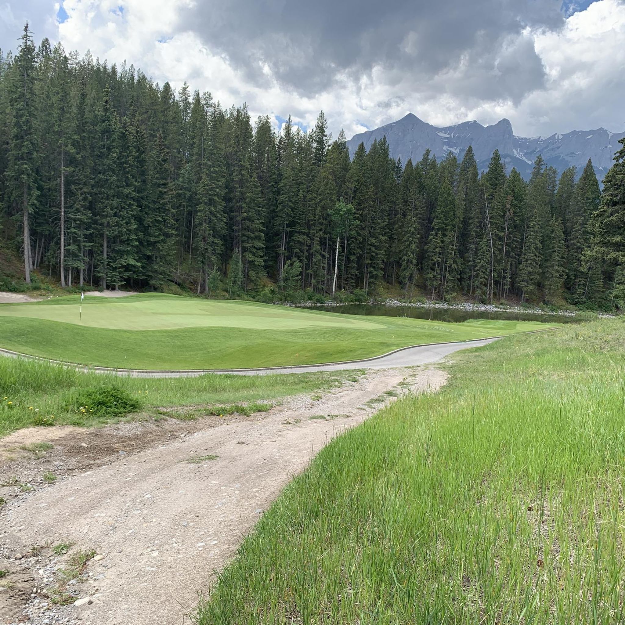
The Three Sisters Mountain Village near Canmore is a residential and wellness resort in the heart of the breathtaking landscape of the Rocky Mountains. It includes a variety of recreational activities and facilities, including trail networks for cycling and green spaces.
0
0
West Canmore Park is located between Canmore and the Three Sisters Mountain Village. You can enjoy stunning views of the Bow River and read interesting facts on some information boards.
1
0
The Three Sisters Pathway runs along the mighty Bow River. This section is part of the the Trans Canada Trail.
1
0
Frequently Asked Questions
How many road cycling routes are available in Wildlife Corridor?
There are over 7 road cycling routes in Wildlife Corridor, offering a variety of experiences for different skill levels. The network includes 2 easy routes, 4 moderate routes, and 1 difficult route.
What is the best time of year to go road cycling in Wildlife Corridor?
Wildlife Corridor offers unique cycling experiences throughout the year. While specific conditions vary, the region's diverse landscapes, including riparian buffers and forests, provide scenic routes in spring and autumn. Summer typically offers warmer weather and longer daylight hours, ideal for longer rides. Winter cycling might be possible on some routes, but conditions can be challenging due to snow and ice, so checking local conditions is advised.
Are there any easy road cycling routes suitable for beginners or families in Wildlife Corridor?
Yes, Wildlife Corridor features several easy road cycling routes perfect for beginners or families. An excellent option is the Cascade Ponds loop from Larch, which is 26.7 miles (43.0 km) long and offers continuous engagement with the natural surroundings. Another easy route is the Bow River – Gap Lake loop from Canmore, a shorter 12.6 miles (20.2 km) ride.
What kind of wildlife can I expect to see while road cycling in Wildlife Corridor?
As its name suggests, Wildlife Corridor is designed to facilitate animal movement, offering unique opportunities for wildlife viewing. Cyclists might encounter various plant and animal species in their natural habitats, including migratory birds, deer, and smaller creatures. The presence of diverse flora and fauna contributes to a dynamic and engaging environment. For more general information on wildlife corridors, you can visit fws.gov.
Are there challenging road cycling routes for experienced cyclists?
Yes, for experienced cyclists seeking a challenge, Wildlife Corridor offers routes with greater distances and elevation gains. While not explicitly listed as 'difficult' in the provided data, routes like the Cascade Ponds – Heritage Trail loop from Canmore Visitor Information Centre, at 58.8 miles (94.7 km) with significant elevation, provide a moderate to challenging experience winding through varied landscapes and riverbanks.
Are there loop road cycling trails in Wildlife Corridor?
Many of the road cycling routes in Wildlife Corridor are designed as loops, allowing you to start and end at the same point. Examples include the First Vermilion Lake – Second Vermilion Lake loop from Lions Park, which is 43.7 miles (70.3 km) long, and the Pathway along the Bow River – Three Sisters Mountain Village loop from Harvie Heights.
What do other road cyclists enjoy most about cycling in Wildlife Corridor?
The road cycling routes in Wildlife Corridor are highly rated by the komoot community, with an average score of 4.3 stars from over 18 reviews. Cyclists frequently praise the continuous engagement with diverse natural landscapes, the reduced traffic, and the immersive experience in nature that these ecologically designed corridors provide.
Are there viewpoints or scenic spots along the road cycling routes?
Wildlife corridors are characterized by varied and picturesque landscapes, offering numerous scenic spots. Routes often follow riparian buffers along rivers and streams, providing lush green pathways, and traverse natural expanses like grasslands and forests. These natural features inherently offer stunning views and opportunities to appreciate the region's biodiversity.
What are the typical lengths of road bike trails in Wildlife Corridor?
The lengths of road bike trails in Wildlife Corridor vary significantly to accommodate different preferences and fitness levels. You can find shorter routes, such as the Bow River – Gap Lake loop from Canmore at 12.6 miles (20.2 km), to longer, more extensive rides like the Cascade Ponds – Heritage Trail loop from Canmore Visitor Information Centre, which spans 58.8 miles (94.7 km).
Is public transport available to access cycling trails in Wildlife Corridor?
While the guide focuses on the routes themselves, accessing Wildlife Corridor trails often depends on the specific starting points. Many corridors are designed to minimize human-wildlife conflict, sometimes incorporating features that allow both animals and people to move safely. For specific public transport options to trailheads, it's best to check local transit authority websites for the Canmore and Larch areas, as these are common starting points for routes like the Cascade Ponds loops.
Where can I find parking for road bike trails in Wildlife Corridor?
Parking availability will depend on the specific trailhead you choose. Routes often start from established points like visitor information centers or parks. For example, the Cascade Ponds – Heritage Trail loop starts from the Canmore Visitor Information Centre, which typically offers parking facilities. Similarly, routes originating from Lions Park or Harvie Heights would likely have designated parking areas nearby.
Most popular routes in Wildlife Corridor

Get inspired with the komoot mobile app


Explore more
Browse the best Road cycling routes in other regions.
