The best waterfall hikes and walks in Géoparc Du Chablais
4.5
(12805)
127,263
hikers
66
hikes
Hiking in Géoparc Du Chablais offers diverse waterfall hiking trails across a landscape shaped by ancient glaciers and significant geological processes. The region, a UNESCO Global Geopark, features a varied terrain of mountain lakes, wetlands, and river systems, including the Dranse. Hikers can explore areas with distinct geological layers, often leading to impressive cascades and scenic viewpoints. The trails traverse forested areas, valleys, and slopes, providing access to the natural features of the Chablais massif.
Best waterfall hiking trails in Géoparc Du Chablais
- The most popular waterfall hiking route is Lac de Montriond – Lac de Montriond loop from Lac de Montriond, a 4.0 miles (6.5 km) trail that takes 1 hour 49 minutes to complete, offering an easy loop around the scenic Lac de Montriond.
- Another top favourite among local hikers is Lac de Montriond – Lac de Montriond loop from Ardent, a moderate 4.8 miles (7.7 km) path. This route provides varied terrain around Lac de Montriond, often completed in about 2 hours 12 minutes.
- Local hikers also love the Discreet waterfall – Bayard" waterfall loop from La Chapelle-d'Abondance, a 5.1 miles (8.3 km) trail leading through forested valleys to a notable waterfall, often completed in about 2 hours 50 minutes.
- Hiking in Géoparc Du Chablais is defined by glacial valleys, mountain lakes, and diverse geological formations, with routes ranging from easy strolls to more challenging ascents. The network offers options for different ability levels, showcasing the region's natural heritage.
- The routes in Géoparc Du Chablais are highly rated by the komoot community with an average score of 4.5 stars from over 5200 reviews. More than 53000 hikers have used komoot to explore Géoparc Du Chablais's varied terrain.
Last updated: August 17, 2026
4.5
(89)
1,144
hikers
6.66km
01:52
130m
130m
Easy hike. Great for any fitness level. Easily-accessible paths. Suitable for all skill levels.
4.6
(104)
1,126
hikers
7.75km
02:13
180m
180m
Moderate hike. Good fitness required. Easily-accessible paths. Suitable for all skill levels.

Sign up for free
4.6
(49)
278
hikers
8.26km
02:51
250m
250m
Moderate hike. Good fitness required. Mostly accessible paths. Sure-footedness required.
4.4
(30)
293
hikers
5.55km
01:34
110m
110m
Easy hike. Great for any fitness level. Easily-accessible paths. Suitable for all skill levels.
4.8
(26)
244
hikers
11.9km
03:53
500m
500m
Moderate hike. Good fitness required. Easily-accessible paths. Suitable for all skill levels.
Get access to more routes and recommendations from other explorers.
Sign up for free
Already have an account?
Our route recommendations are based on thousands of hikes, rides, and runs completed by other people on komoot.
Start today with a free account
Your next adventure awaits.
Login or Signup
Popular around Géoparc Du Chablais
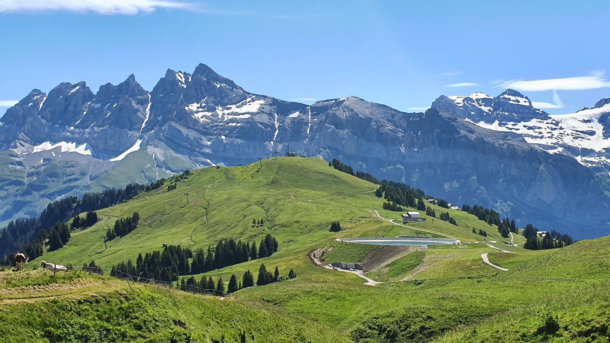
Europe Trail (GR 5) – Hike from Landry to Thonon-les-Bains

Hike from Savoie to Vanoise – Hexatrek in France’s Northern Alps
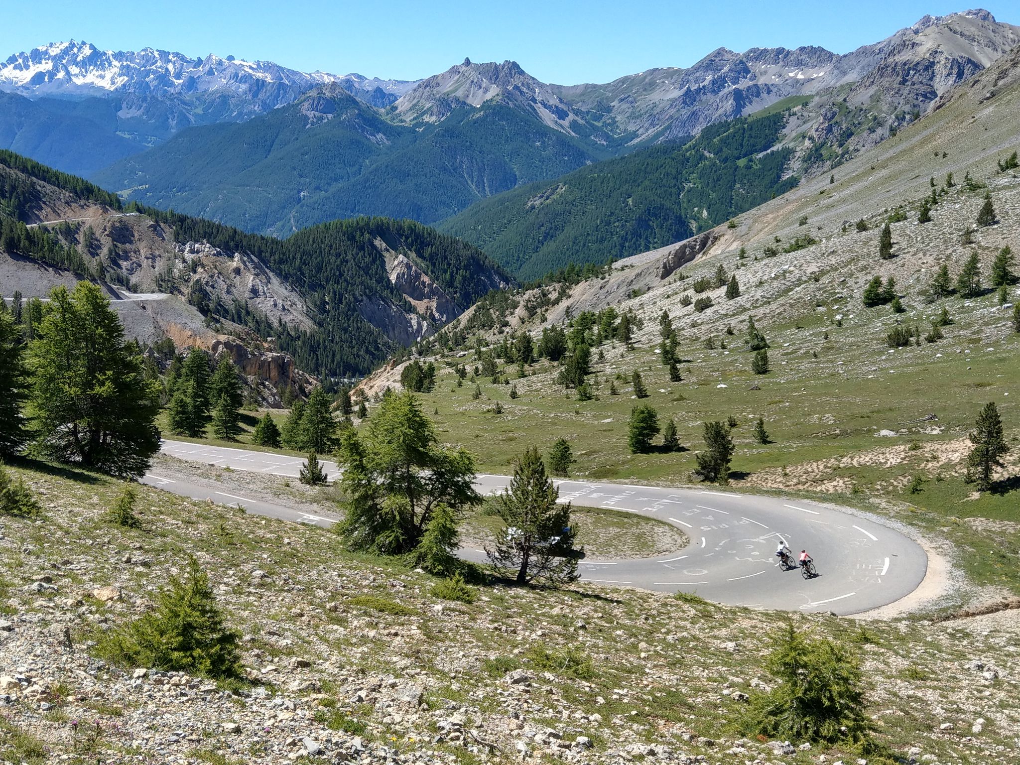
Route des Grandes Alpes – in 6 days from Evian to Nice
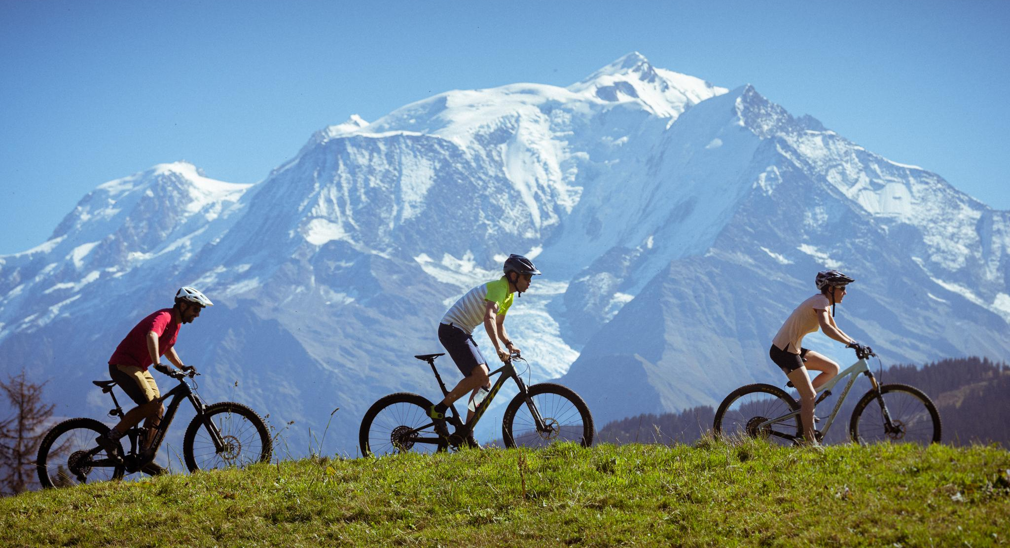
Nature and mountain biking in Haute-Savoie Mont-Blanc
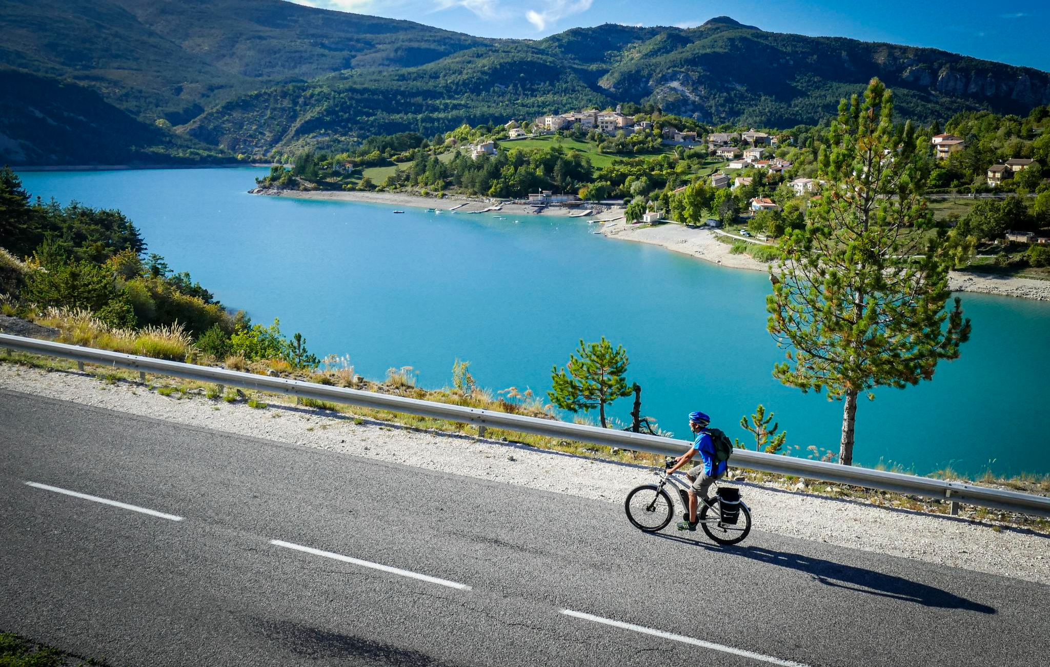
P'tites Routes du Soleil (Little Routes of the Sun)

Route des Grandes Alpes
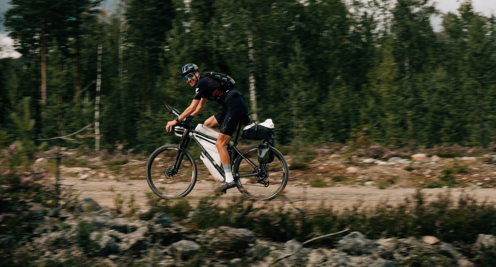
European D̶I̶V̶I̶D̶E̶ Connect Trail Project – a journey across Europe
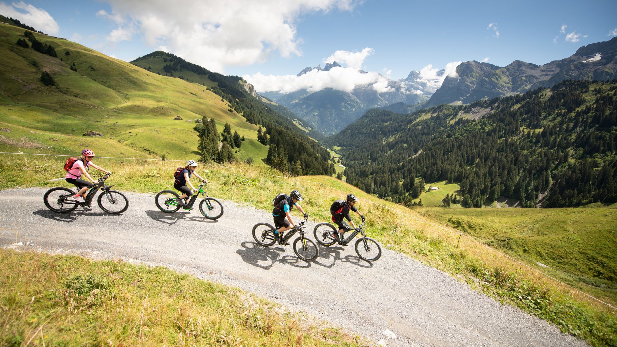
MTB in the Région Dents du Midi – Portes du Soleil
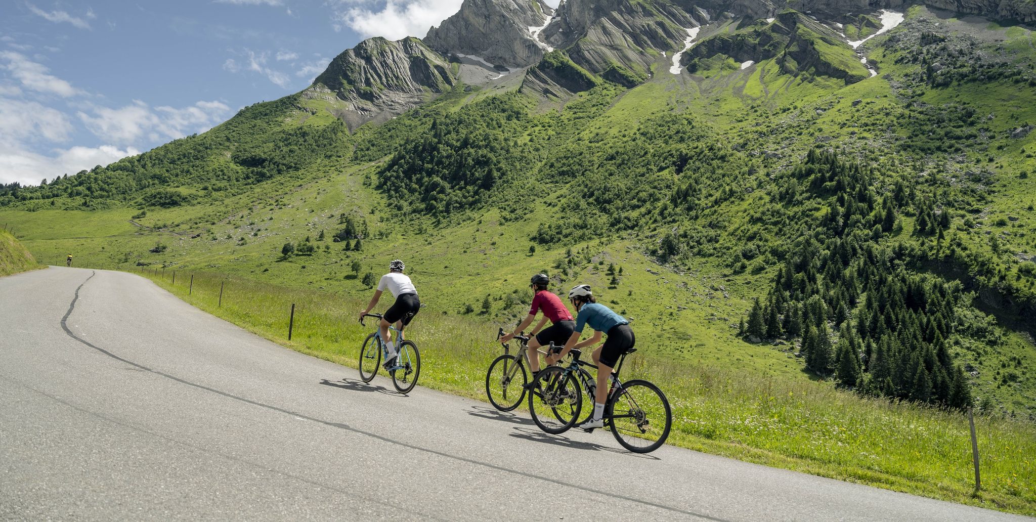
10 wonderful Tours in Savoie and Haute-Savoie – easily accessible by train
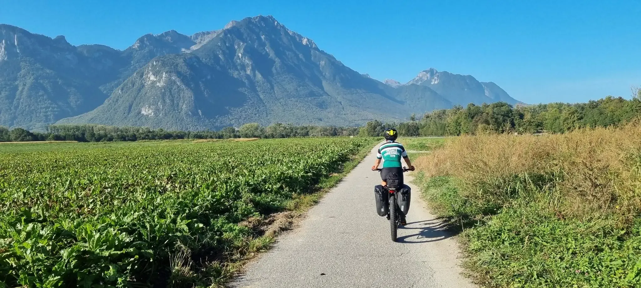
Cycle around Lake Geneva in four stages
Other adventures in Géoparc Du Chablais


Tips from the Community


Memorial to the World War II dead from Morzine.
0
0

The Ardent waterfall is a true emblem and natural jewel of the Aulps valley. Above the Montriond lake, it is also the starting point of a pretty forest trail.
2
0
The church of St. Mary Magdalene was built in 1825 and is impressive due to its unique architecture. I had never seen a church building like this before. A really beautiful building in the center of Morzine.
4
0
Beautifully situated lake - perfect for chilling out.
5
0

The church in Morzine is located near the stone arch bridge.
1
0
Frequently Asked Questions
How many waterfall hiking trails are there in Géoparc Du Chablais?
Géoparc Du Chablais offers a wide selection of waterfall hiking trails, with over 70 routes available for exploration. These trails range in difficulty from easy strolls to more challenging ascents, ensuring options for various fitness levels.
What is the best time of year to visit the waterfalls in Géoparc Du Chablais?
The best time to visit the waterfalls in Géoparc Du Chablais is generally during spring and early summer. Following snowmelt and seasonal rains, the waterfalls are at their most powerful and impressive. Autumn also offers beautiful scenery with vibrant foliage, though water levels might be lower.
Are there any family-friendly waterfall hikes in Géoparc Du Chablais?
Yes, there are several family-friendly options. An easy and popular choice is the Lac de Montriond – Lac de Montriond loop from Lac de Montriond, which is about 4 miles (6.5 km) long and takes under two hours to complete, offering scenic views around the lake and its nearby cascades.
Can I bring my dog on the waterfall trails in Géoparc Du Chablais?
Many trails in Géoparc Du Chablais are dog-friendly, but it's always recommended to check specific route details and local regulations before heading out. Ensure your dog is kept on a leash, especially in nature reserves or areas with livestock, and always clean up after your pet.
What kind of terrain can I expect on waterfall hikes in Géoparc Du Chablais?
The terrain in Géoparc Du Chablais is diverse, shaped by ancient glaciers and significant geological processes. You can expect paths through forested valleys, along mountain lakes, and over varied slopes. Some routes may feature rocky sections or require sturdy footwear, especially those leading to more secluded cascades.
Are there any circular waterfall walks in the region?
Yes, many waterfall trails in Géoparc Du Chablais are designed as circular routes, allowing you to start and end at the same point. For example, the Discreet waterfall – Bayard" waterfall loop from La Chapelle-d'Abondance is a moderate 5.1 miles (8.3 km) circular trail that takes you through forested valleys to a notable waterfall.
What other natural features can I explore near the waterfall trails?
Beyond the waterfalls, the Géoparc Du Chablais is rich in natural beauty. You can explore mountain lakes like Lac de Montriond or the tranquil Vallon Lake, which formed after a landslide. The region also features wetlands, diverse geological formations, and panoramic viewpoints offering stunning vistas of Lake Geneva and the Alps.
Are there any challenging waterfall hikes for experienced hikers?
For experienced hikers seeking a challenge, the Géoparc Du Chablais offers more demanding routes. The Cascade d'Ardent – Lac de Montriond loop from Avoriaz is a difficult 11-mile (17.8 km) trail with significant elevation gain, providing a rewarding experience through varied landscapes and past impressive cascades.
What do other hikers enjoy most about hiking in Géoparc Du Chablais?
The area is highly rated by the komoot community, with an average score of 4.5 stars from over 5,200 reviews. Hikers often praise the stunning natural beauty, the variety of trails suitable for all levels, and the well-maintained paths that lead to spectacular waterfalls and panoramic views.
Are there any notable landmarks or attractions near the waterfall trails?
Yes, the region is dotted with interesting landmarks. Near some waterfall trails, you might find historical sites like the Château de Ripaille or the charming Yvoire Medieval Village. The Geopark itself is a UNESCO Global Geopark, recognized for its unique geological heritage, which is a significant attraction in its own right. For more information on the Geopark's geological significance, you can visit the UNESCO website.
Is public transport available to access waterfall hiking trails?
While some trailheads might be accessible by local bus services, many routes in Géoparc Du Chablais are best reached by car. It's advisable to research specific public transport options for your chosen trailhead in advance, as services can be limited, especially in more remote mountain areas.
Where can I find parking for waterfall hikes?
Parking is typically available at or near popular trailheads and villages that serve as starting points for hikes. For routes around Lac de Montriond, for instance, designated parking areas are usually provided. Always look for official parking signs and be mindful of local regulations, especially during peak seasons.
Most popular routes in Géoparc Du Chablais
Most popular attractions in Géoparc Du Chablais

Get inspired with the komoot mobile app


Explore more
Browse the best Hikes in other regions.
