The best gravel rides around Tumwater
32
riders
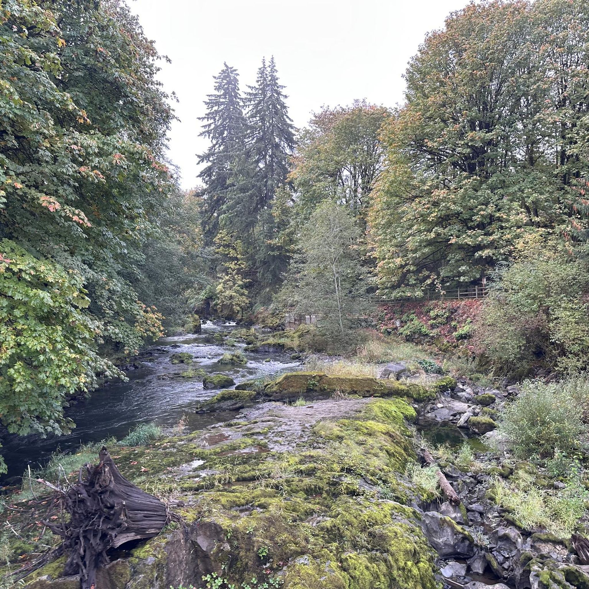
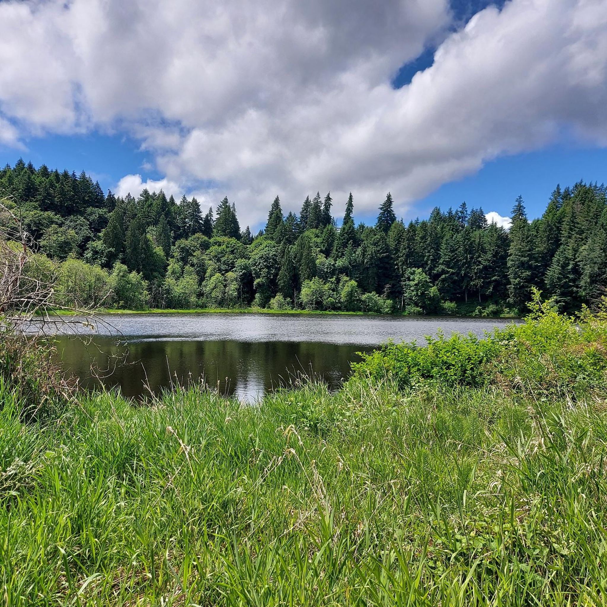
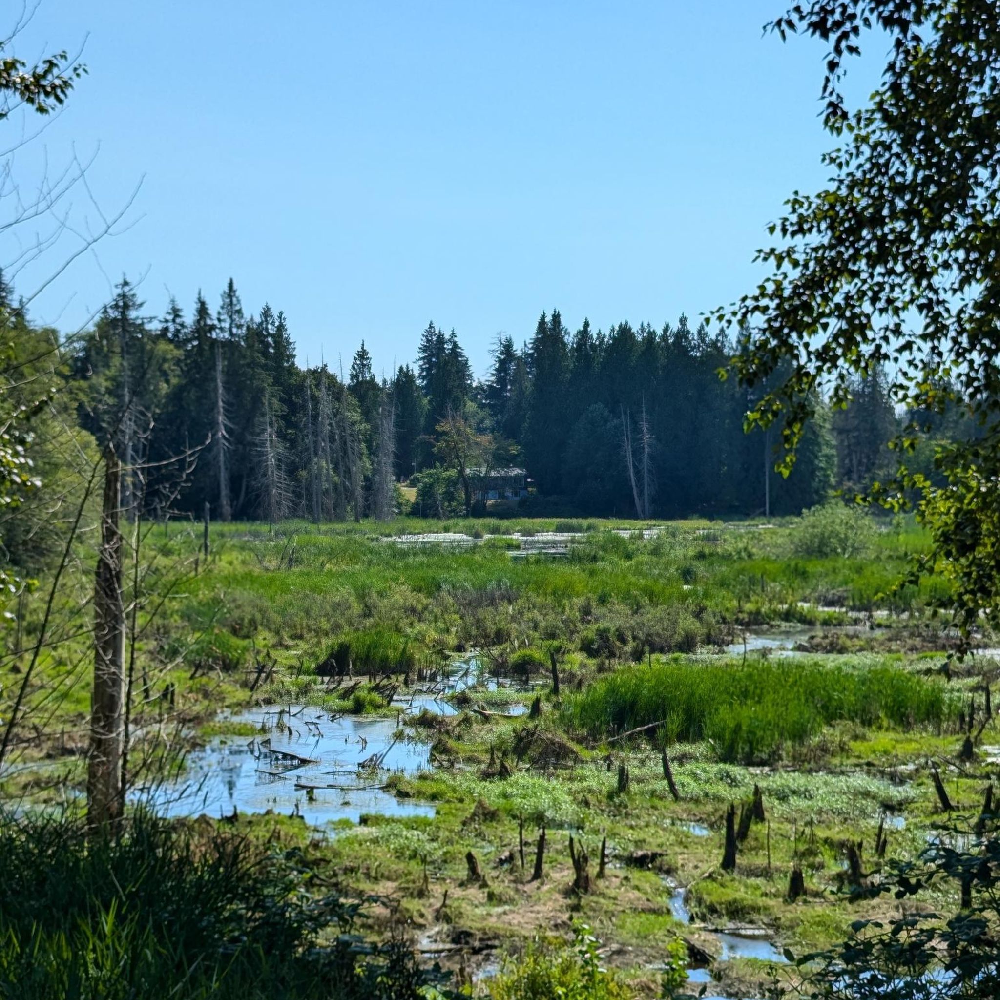
Gravel biking around Tumwater, Washington, offers diverse terrain within and around the Capitol State Forest. The region is characterized by an extensive network of maintained gravel roads, often with a dirt base, featuring ascents, descents, and curves. Riders can expect views of lush green trees, prairies, rivers, and estuaries, with some routes providing vistas of the Olympia Mountains and Puget Sound. This area provides varied terrain for gravel biking enthusiasts.
Best gravel bike trails around Tumwater
- The most popular gravel…
Last updated: October 4, 2026
11
riders
62.4km
04:20
1,230m
1,230m
Hard gravel ride. Very good fitness required. Mostly paved surfaces. Suitable for all skill levels.
6
riders
28.8km
01:53
500m
500m
Hard gravel ride. Very good fitness required. Mostly paved surfaces. Suitable for all skill levels.

4
riders
35.3km
02:33
810m
810m
Hard gravel ride. Very good fitness required. Mostly paved surfaces. Suitable for all skill levels.
Our route recommendations are based on thousands of hikes, rides, and runs completed by other people on komoot.
Start today with a free account
Your next adventure awaits.

Tips from the Community

This trailhead is open to motorized off-road vehicles. Expect to share the trails with ORVs.
0
0
Capitol Peak is one of the highest peaks in the Capitol State Forest. Views of the Cascades and out to Grays Harbor make the final climb up "The Grunt" worth the effort.
0
0
Capitol Peak is one of the highest peaks in the Capitol State Forest. Views of the Cascades and out to Grays Harbor make the final climb up "The Grunt" worth the effort.
0
0
No one knows exactly what created the distinct geological formations beneath this prairie, but many hypotheses have been made. In any case, all agree that this is a special place, and it was designated as a National Natural Landmark in 1966. A Discover Pass is required to park at the trailhead. Only service dogs are allowed here.
0
0
Get a better look at the strange mounds from a raised viewing platform. Interpretive signs at the viewing platform describe the unknown origins of this geological phenomenon.
0
0

The 640-acre Mima Mounds Natural Area Preserve contains around 370 acres of mounded prairie. The area's marine-influenced climate is mild, with warm, dry summers and cool, but mostly snow-free winters at 200 feet above sea level. Mima Mounds Preserve's grassland is native glacial outwash prairie.
0
0

Frequently Asked Questions
What kind of terrain can I expect on gravel bike trails around Tumwater?
The gravel bike trails around Tumwater, particularly within the Capitol State Forest, feature diverse terrain. You'll encounter extensive networks of maintained gravel roads, often with a gravel layer over dirt, including ascents, descents, curves, and occasional cliff sides. Some sections offer fast, flowy wooded paths, while others present uneven terrain with loose rock. The region's landscape includes lush green trees, prairies, rivers, and estuaries.
Are there any easy or beginner-friendly gravel bike routes in Tumwater?
While many routes in Tumwater present challenging conditions with significant elevation gains, the Capitol State Forest does offer varied terrain. Some trails are described as having uneven terrain with occasional whoops and loose rock, which can be suitable for beginners looking to develop their skills. However, the routes highlighted in this guide, such as E-Line Road loop from Mima Mounds Natural Area Preserve, are generally considered difficult.
What are the typical lengths and durations of gravel bike trails in Tumwater?
Gravel bike trails in Tumwater vary in length and duration. For example, the Middle Waddell Campground loop from Margaret McKenny Trailhead is about 25.0 miles (40.3 km) and typically takes around 3 hours 47 minutes to complete. Longer routes like E-Line Road – Capitol State Forest loop from Los Cedros MHP extend to 50.6 miles (81.5 km) and can take over 8 hours.
Can I find loop trails for gravel biking in the Tumwater area?
Yes, several gravel biking options around Tumwater are designed as loops. Popular examples include the E-Line Road loop from Mima Mounds Natural Area Preserve and the Middle Waddell Campground loop from Margaret McKenny Trailhead, both offering circular routes through the Capitol State Forest.
What scenic views or natural features can I expect to see along the gravel bike trails?
The gravel bike trails in Tumwater offer stunning scenic views. You can expect vistas of lush green trees, prairies, rivers, and estuaries. Some routes provide impressive views of the Olympia Mountains and the Puget Sound. The area is also home to unique geological features like the Mima Mounds Natural Area Preserve, which you might pass near on your ride.
Are there any waterfalls or significant natural landmarks near the gravel biking routes?
While not directly on the gravel biking routes, the iconic Tumwater Falls Park is a significant natural landmark nearby. It showcases the Deschutes River plunging 82 feet over a series of three waterfalls. Although cycling is not permitted on the park's gravel walking trails, it's a popular spot to visit before or after a ride, especially during salmon runs from late August to early October. The Mima Mounds Natural Area Preserve is another unique geological feature in the vicinity.
What is the best time of year for gravel biking in Tumwater, and what are winter conditions like?
Many trails in Tumwater are accessible year-round, offering a unique experience even with snow in winter. However, for the most comfortable riding conditions, spring through fall generally provides milder weather. Winter rides can be challenging due to colder temperatures and potential snow, but they also offer a distinct, serene experience in the forest.
Are there any family-friendly or dog-friendly gravel trails in Tumwater?
While the routes highlighted in this guide are generally rated as difficult due to significant elevation and varied terrain, the broader Capitol State Forest area offers diverse options. For family-friendly outings, consider exploring sections of the Chehalis Western Trail or the Deschutes River Trail, which are known for being more accessible. For dog-friendly options, it's best to check specific trail regulations within the Capitol State Forest, as rules can vary.
Where can I find parking for gravel bike trails in Tumwater?
Parking is generally available at common trailheads and access points for the Capitol State Forest. For example, routes like the E-Line Road loop from Mima Mounds Natural Area Preserve often start from designated parking areas near natural preserves. It's always recommended to check the specific tour details on komoot for parking information related to your chosen route.
What other outdoor activities can I combine with gravel biking in Tumwater?
Tumwater is a hub for various outdoor activities. Besides gravel biking, the Capitol State Forest is popular for hiking and mountain biking. You can also explore nearby natural attractions like Capitol Lake or the Millersylvania State Park, which offer additional trails and recreational opportunities. The region's proximity to the Pacific Ocean beaches, the Olympic Peninsula, and Mount Rainier also opens up possibilities for broader adventures.
Are there any cafes or places to eat near the gravel biking routes in Tumwater?
While the gravel biking routes themselves often traverse more remote forest areas, Tumwater and nearby Olympia offer various dining options. You'll find cafes, pubs, and restaurants in the urban centers. It's advisable to plan your food and drink stops before or after your ride, as amenities are scarce directly along the forest trails.
Most popular routes around Tumwater
Most popular attractions around Tumwater

Get inspired with the komoot mobile app


Explore more
Browse the best Gravel rides in other regions.
