The best walks and hikes around Maywood
4.3
(7)
264
hikers
27
hikes
Hiking around Maywood features a network of trails primarily located within local parks and along river pathways. The terrain is generally flat, with minimal elevation changes, making it suitable for accessible outdoor activities. Routes often follow paved or well-maintained unpaved paths through green spaces and alongside water features. The area provides opportunities for leisurely walks and longer excursions within a suburban environment.
Best hiking trails around Maywood
- The most popular hiking route is Saddle River via Saddle River Pathway loop…
Last updated: May 17, 2026
18
hikers
3.98km
01:01
10m
20m
Discover the Overpeck Park River Loop, an easy hiking route that offers a refreshing escape into nature. This trail winds through lush woodlands and open meadows, providing serene waterfront views…
4
hikers
31.7km
08:01
40m
50m
Hike the 19.7-mile Saddle River County Park Bike Path, a difficult route with 147 feet of elevation gain and riverside views.

Sign up for free
2
hikers
1.39km
00:21
0m
0m
Enjoy an easy 0.9-mile (1.4 km) hike around a tranquil lake, featuring a fountain and cherry blossoms, in Saddle River County Park.
34
hikers
7.23km
01:49
10m
10m
Hike the easy 4.5-mile Saddle River County Park Bike Path, featuring a scenic waterfall, historic tower, and diverse park amenities.
3.0
(1)
21
hikers
5.17km
01:19
10m
10m
Hike the easy 3.2-mile Overpeck Park loop in Englewood, NJ, featuring waterfront views, woodlands, and wildlife in about 1 hour and 18 minut
Get access to more routes and recommendations from other explorers.
Sign up for free
Already have an account?
Our route recommendations are based on thousands of hikes, rides, and runs completed by other people on komoot.
Start today with a free account
Your next adventure awaits.
Login or Signup
Popular around Maywood


Tips from the Community

Keep your eyes open and you'll spot it through the trees. There are no signs marking it. The berms are really small so they'd be good fun for small kids.
0
0

The majority of the river courses through popular suburban areas. It earns its name from a river in Scotland near Saddell. This section of the river winds its way through several parks, offering a delightful view of the flowing waters from this point.
0
0
This 577-acre linear park meanders along the Saddle River, offering stunning views along the way. The Saddle River Pathway runs throughout the park and continues further north if you want to extend your hike.
0
0
Overpeck Creek, a tributary of the Hackensack River, stretches for approximately 8 miles. This bridge serves as a convenient rest spot, connecting the two sides of the park and offering a sweeping view of the water below.
0
0
Spanning more than 500 acres, this park stands out as one of the area's most popular destinations. It boasts athletic tracks, sports fields, picnic areas, and over 5 miles of trails to explore, offering scenic waterfront views along the way.
0
0

Saddle River County Park encompasses over 500 acres as it follows the banks of the Saddle River and a few of its branches. There is a great bike path that travels right through the middle of the park.
0
0

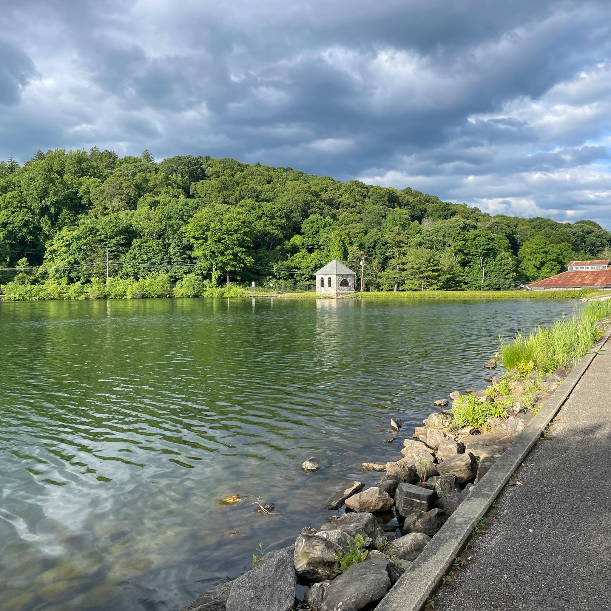
The Red Mill, according to Wikipedia has the following story: “Easton Tower is a historic building located in the Arcola area of Paramus, New Jersey, and originally used as the housing for a water pump on the estate of businessman Edward D. Easton.”
0
0

Nice bike and pedestrian path along the Saddle River. Surface seams to be very recent and makes for smooth riding.
0
0
Frequently Asked Questions
What kind of hiking trails can I expect around Maywood?
Hiking around Maywood primarily features trails within local parks and along river pathways. The terrain is generally flat with minimal elevation changes, making it suitable for accessible outdoor activities. Paths are often paved or well-maintained unpaved surfaces, winding through green spaces and alongside water features in a suburban environment.
Are there many easy hiking options in Maywood?
Yes, Maywood offers a great selection of easy hikes. Out of the 20 available routes, 14 are classified as easy. These trails are perfect for leisurely walks and shorter excursions, often following river pathways and park loops.
How long do hikes around Maywood typically take?
The duration of hikes in Maywood varies. For example, the Saddle River via Saddle River Pathway loop is about 4.5 miles (7.2 km) and takes around 1 hour 49 minutes. Shorter options like the Van Saun County Park loop are 1.9 miles (3.1 km) and can be completed in about 47 minutes.
Are there any advanced or difficult hiking routes in Maywood?
No, Maywood does not feature any advanced or difficult hiking routes. The area's trails are predominantly easy (14 routes) and moderate (6 routes), focusing on accessible paths within parks and along riverbanks.
What do other hikers say about the trails in Maywood?
The routes in Maywood are highly rated by the komoot community, with an average score of 4.5 stars from over 6 reviews. Hikers often praise the well-maintained paths and the pleasant park settings, making them enjoyable for various outdoor activities.
Are the hiking trails in Maywood suitable for families?
Yes, many of the trails in Maywood are ideal for families. With 14 easy routes and generally flat terrain, paths like the Overpeck Park loop offer accessible and enjoyable experiences for all ages.
Are there any circular walks available in Maywood?
Yes, many of the popular routes in Maywood are circular walks, allowing you to start and end at the same point. Examples include the Saddle River via Saddle River Pathway loop and the Van Saun County Park loop.
What natural attractions or viewpoints can I find near Maywood's hiking trails?
While hiking in Maywood, you can explore several natural attractions and viewpoints. Highlights include the Oradell Reservoir and Wild Duck Pond for water features, and the Flat Rock Brook Nature Preserve for forested areas. For a broader perspective, consider visiting the View of New York City from Garret Mountain Reservation.
Are there any interesting landmarks or places to see around Maywood?
Beyond the trails, you can find several interesting spots. The Ross Dock Picnic Area offers facilities for relaxation, and the Palisades Interstate Park is a significant natural area nearby. You might also encounter the Henry Hudson Drive, known for its scenic views.
Are the hiking trails in Maywood dog-friendly?
Many local parks and pathways in Maywood are generally dog-friendly, but specific regulations can vary. It's always recommended to check local signage or park websites for the most current rules regarding dogs, especially leash requirements.
How many hiking routes are available in total around Maywood?
There are 20 hiking routes available around Maywood, offering a variety of options for different preferences and fitness levels within the local parks and river pathways.
Most popular routes around Maywood
Most popular attractions around Maywood

Get inspired with the komoot mobile app


Explore more
Browse the best Hikes in other regions.
