The best road cycling routes around Area L (Grasslands)
4.5
(3)
101
riders
6
rides
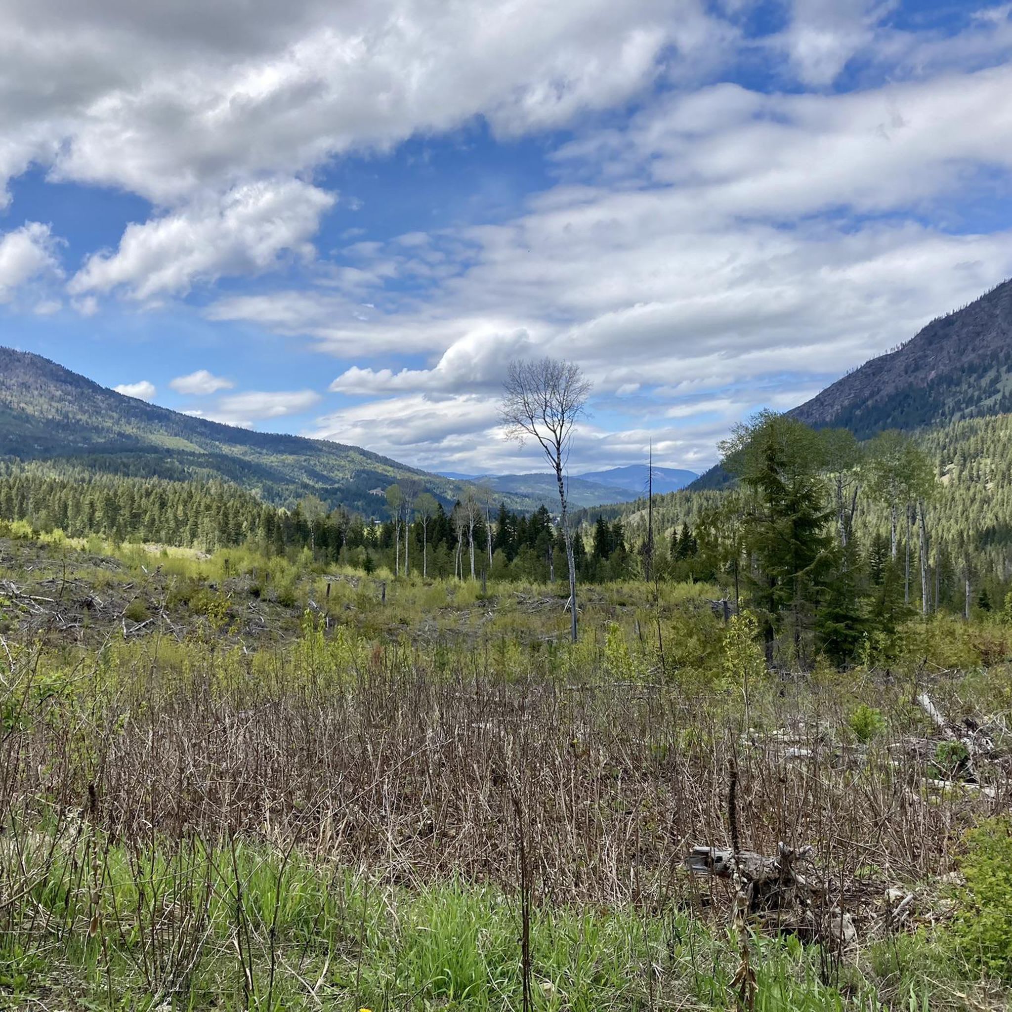
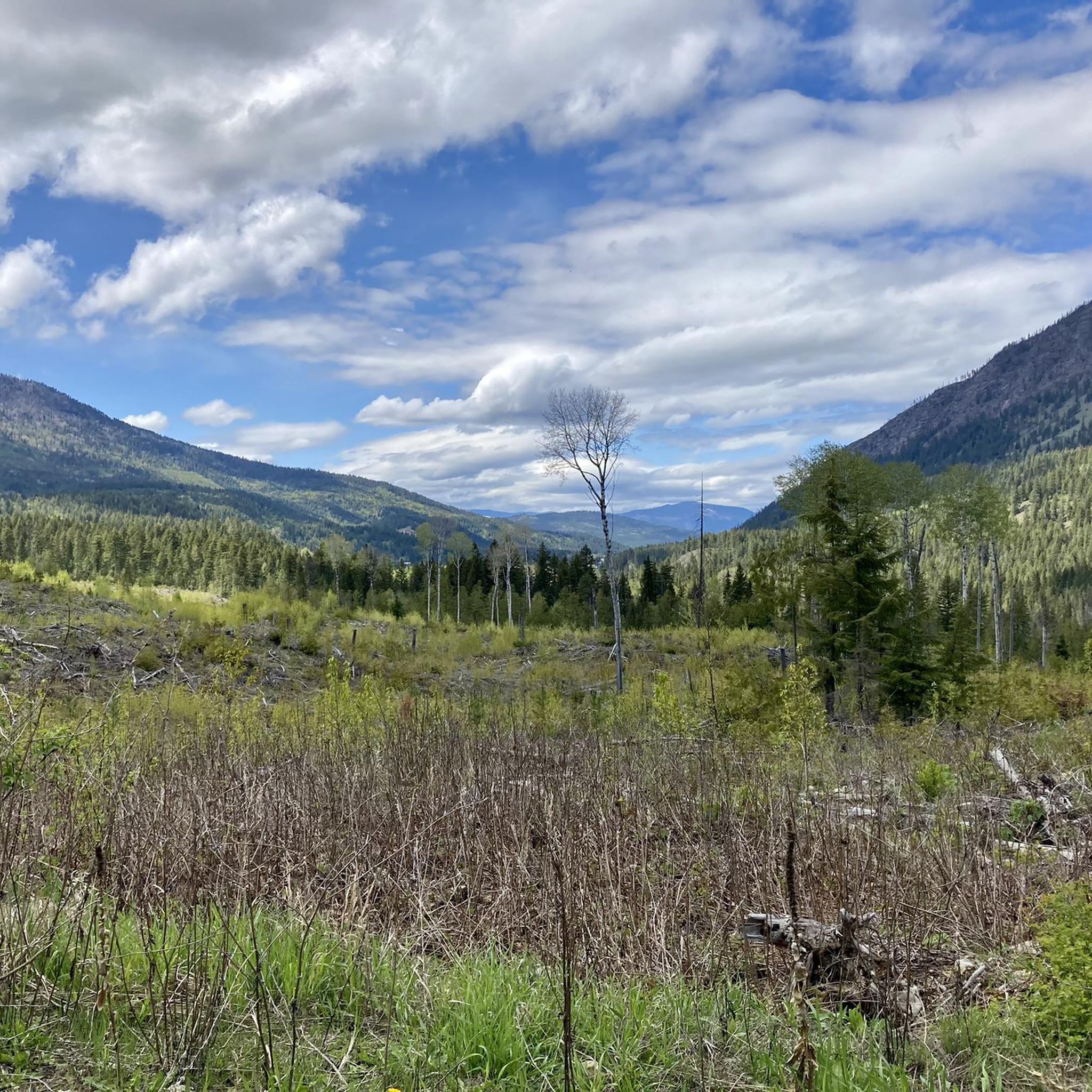
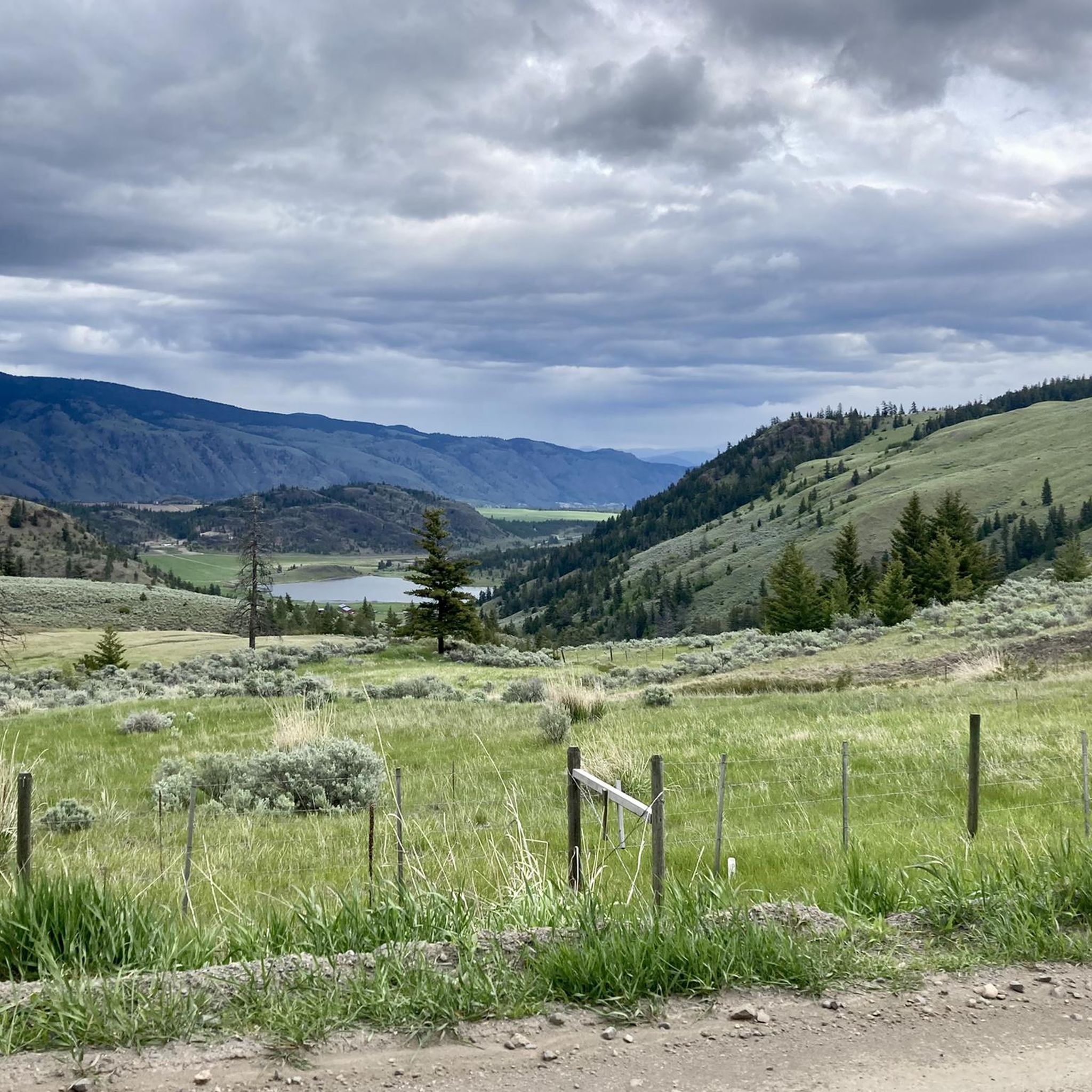
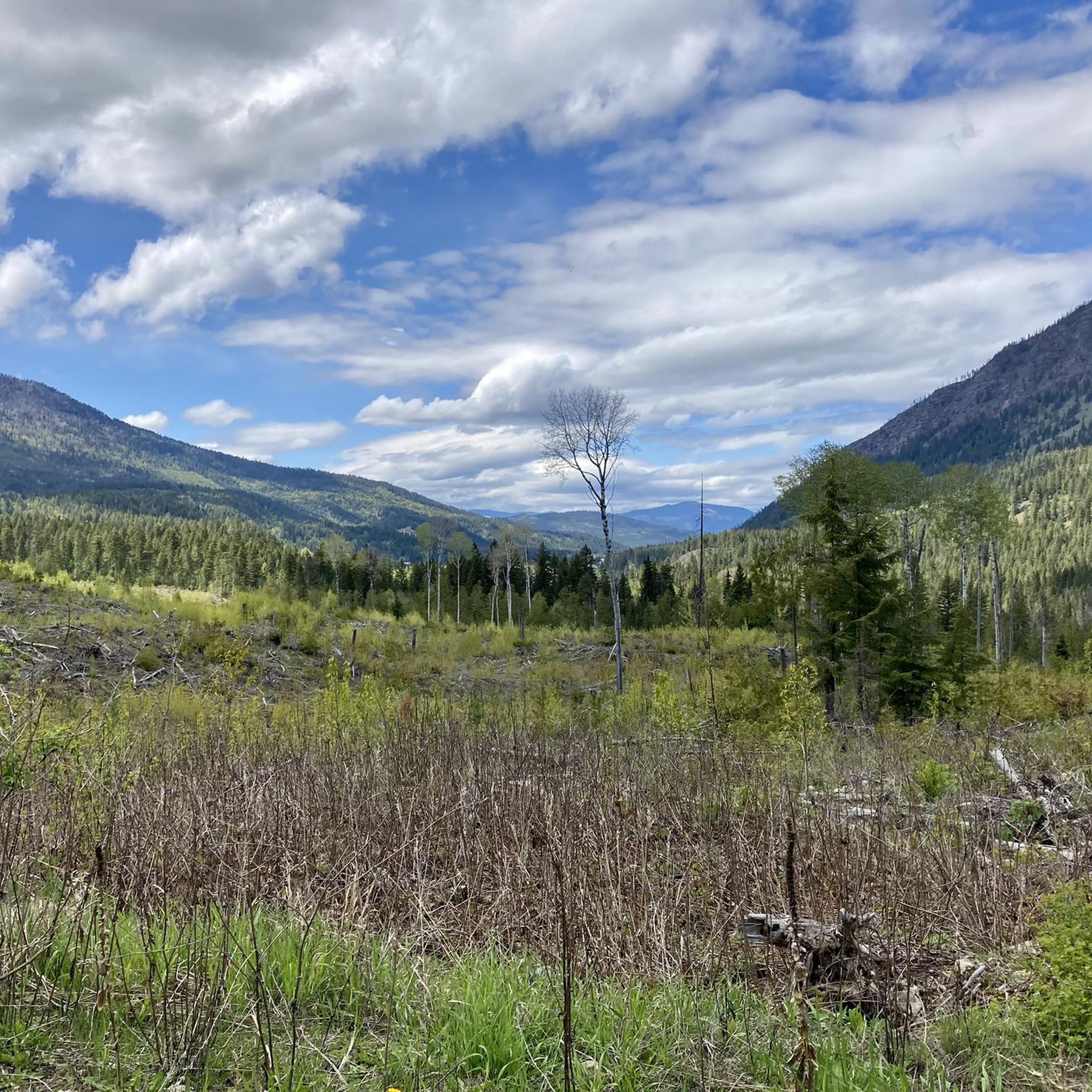
Road cycling routes around Area L (Grasslands) traverse a semi-arid steppe biome characterized by expansive grasslands, rolling hills, and sparse tree cover. The region features a striking transition from "desert rocks" and grasslands to treed areas, with dramatic cliffs and canyons, particularly around the Thompson River. Small lakes and hidden ponds are dotted throughout, contributing to the diverse landscape.
Best road cycling routes around Area L (Grasslands)
- The most popular road cycling route is Birds of Prey Sanctuary loop from…
Last updated: June 27, 2026
22
riders
96.6km
04:28
820m
820m
Moderate road ride. Good fitness required. Mostly well-paved surfaces and easy to ride.
4.0
(1)
21
riders
66.1km
03:11
390m
390m
Moderate road ride. Good fitness required. Some segments of this route may be unpaved and difficult to ride.

Sign up for free
16
riders
31.8km
01:35
250m
250m
Easy road ride. Great for any fitness level. Mostly well-paved surfaces and easy to ride.
5.0
(2)
10
riders
26.2km
01:31
290m
290m
Moderate road ride. Great for any fitness level. Some segments of this route may be unpaved and difficult to ride.
10
riders
47.8km
02:44
620m
620m
Moderate road ride. Good fitness required. Some segments of this route may be unpaved and difficult to ride.
Our route recommendations are based on thousands of hikes, rides, and runs completed by other people on komoot.
Start today with a free account
Your next adventure awaits.
Login or Signup

Tips from the Community

The McArthur Island Trail is part of the 40 kilometers of trails that make up Kamloops's Rivers Trail. This trail makes a full loop around the perimeter of the island and if you come at quieter times of day you'll have a high chance of spotting some of the varied wildlife that call the area home.
0
0
This park has 12 baseball diamonds, disc golf, multi-use paths, soccer fields, a skate park, tennis courts, a stadium, event centre, and more! In short, there is something for everyone here, so no matter what you're looking for you'll likely find it.
0
0
Frequently Asked Questions
How many road cycling routes are available in Area L (Grasslands)?
There are 6 road cycling routes available in Area L (Grasslands) on komoot, all categorized as moderate difficulty. These routes offer a diverse experience through the region's unique landscapes.
What kind of terrain can I expect on road cycling routes in Area L (Grasslands)?
Road cycling in Area L (Grasslands) is characterized by expansive grasslands, rolling hills, and sparse tree cover. You'll encounter a striking transition from 'desert rocks' and grasslands to treed areas, with dramatic cliffs and canyons, particularly around the Thompson River. While primarily road cycling, the region's broader cycling appeal includes a mix of well-graded gravel, dirt roads, and occasional paved sections, offering varied scenery within a single ride.
Are there road cycling routes for different fitness levels in Area L (Grasslands)?
While all the road cycling routes listed in this guide are rated as moderate, the broader Area L (Grasslands) region offers a range of difficulty levels. Local cycling organizations highlight routes from easy rides suitable for all fitness levels to challenging ones with significant elevation gains, some requiring very good fitness. The routes in this guide, such as the Birds of Prey Sanctuary loop from Sweláps Market, are suitable for those with a moderate level of fitness.
What natural features and landmarks can I see while road cycling in Area L (Grasslands)?
The road cycling routes in Area L (Grasslands) offer continuous scenic views. You can expect to see sweeping vistas of vast, undulating grasslands, dramatic cliffs and canyons, especially near the Thompson River, and small lakes and hidden ponds. Specific highlights in the area include the View of the Thompson River from Mount Paul Way Bridge and the serene Riverside Park Beach. You might also encounter the Syphon Falls.
When is the best time of year for road cycling in Area L (Grasslands)?
The Kamloops grasslands are particularly vibrant in spring, when lower slopes burst with plants and upper grasslands and forests bloom with balsamroot and brown-eyed susans by early June. This makes spring and early summer an excellent time to visit for scenic road cycling. The region's semi-arid climate generally offers good conditions outside of winter, which can bring snow and colder temperatures.
Is parking available near the road cycling routes in Area L (Grasslands)?
Many road cycling routes in Area L (Grasslands) start from or pass through Kamloops, a central hub for the region. Routes like the Overlanders Beach loop from Kamloops and the Rocky Point Bluff – Birds of Prey Sanctuary loop from Kamloops begin directly from the city, where parking options are generally available. Other routes may start from specific points like Sweláps Market, which typically offers parking for visitors.
What do other road cyclists enjoy most about road cycling in Area L (Grasslands)?
The road cycling routes in Area L (Grasslands) are highly rated by the komoot community, with an average score of 4.5 stars. Cyclists often praise the continuous scenic views, the unique transition from grasslands to treed areas, and the challenging yet rewarding inclines found throughout the region. The extensive route options and the opportunity to explore diverse ecosystems are also frequently highlighted.
Are there any circular road cycling routes in Area L (Grasslands)?
Yes, many of the road cycling routes in Area L (Grasslands) are designed as loops, offering a comprehensive tour of the area without retracing your path. Examples include the Birds of Prey Sanctuary loop from Sweláps Market, the Overlanders Beach loop from Kamloops, and the Rocky Point Bluff – Birds of Prey Sanctuary loop from Kamloops, all providing varied terrain and scenic vistas.
What kind of wildlife might I encounter while cycling in Area L (Grasslands)?
The grasslands are home to abundant wildlife. Cyclists might spot California bighorn sheep, mule deer, and various bird species such as the Mountain Bluebird, Western Meadowlark, and birds of prey. The region is also known for endangered Burrowing Owls. While less common, black bears and rattlesnakes are also part of the ecosystem, so it's always good to be aware of your surroundings.
Are there any long-distance road cycling options in Area L (Grasslands)?
Yes, for those seeking longer rides, the region offers routes like the Birds of Prey Sanctuary loop from Sweláps Market, which spans 58.5 miles (94.1 km). Additionally, the 'BC Grasslands Circuit' is noted as a multi-day bikepacking route with sustained climbs, indicating the potential for extended cycling adventures in the broader area.
Can I find routes that offer views of lakes or rivers?
Absolutely. The Area L (Grasslands) region is dotted with small lakes and hidden ponds, and the Tranquille River flows through the grasslands, creating lush riparian zones. Routes like the Overlanders Beach loop from Kamloops provide views of local waterways, and the Thompson River is a prominent natural feature visible from several points.
Are there any specific routes that are particularly scenic?
Many routes in Area L (Grasslands) are renowned for their scenic beauty. The Rocky Point Bluff – Birds of Prey Sanctuary loop from Kamloops leads through expansive grasslands and bluffs, offering panoramic views. The 'Grasslands loop' specifically provides superb views of Kamloops and the surrounding unique grassland ecosystems, making almost any ride here a scenic experience.
Most popular attractions around Area L (Grasslands)

Get inspired with the komoot mobile app


Explore more
Browse the best Road cycling routes in other regions.
