The best road cycling routes around Area F (Grindrod/Ashton Creek/Mabel Lake)
5.0
(2)
109
riders
10
rides
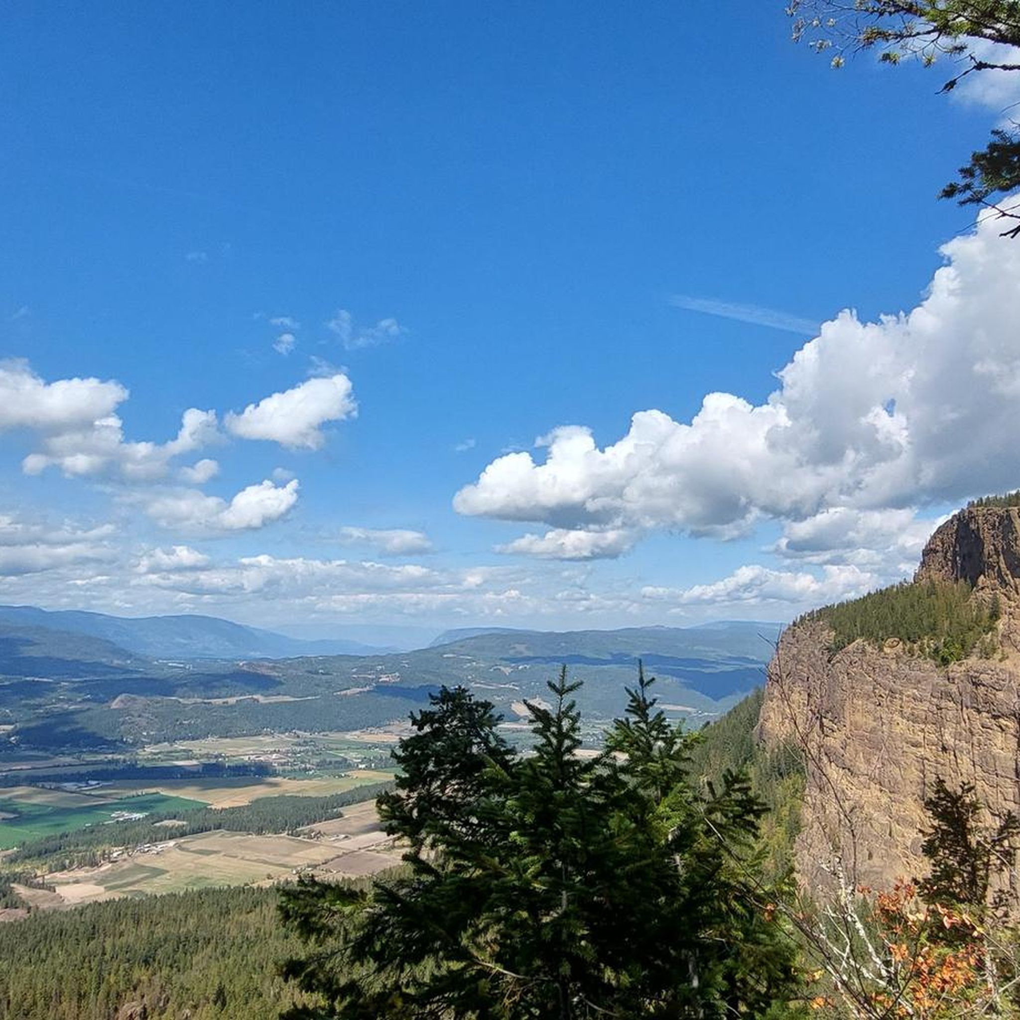
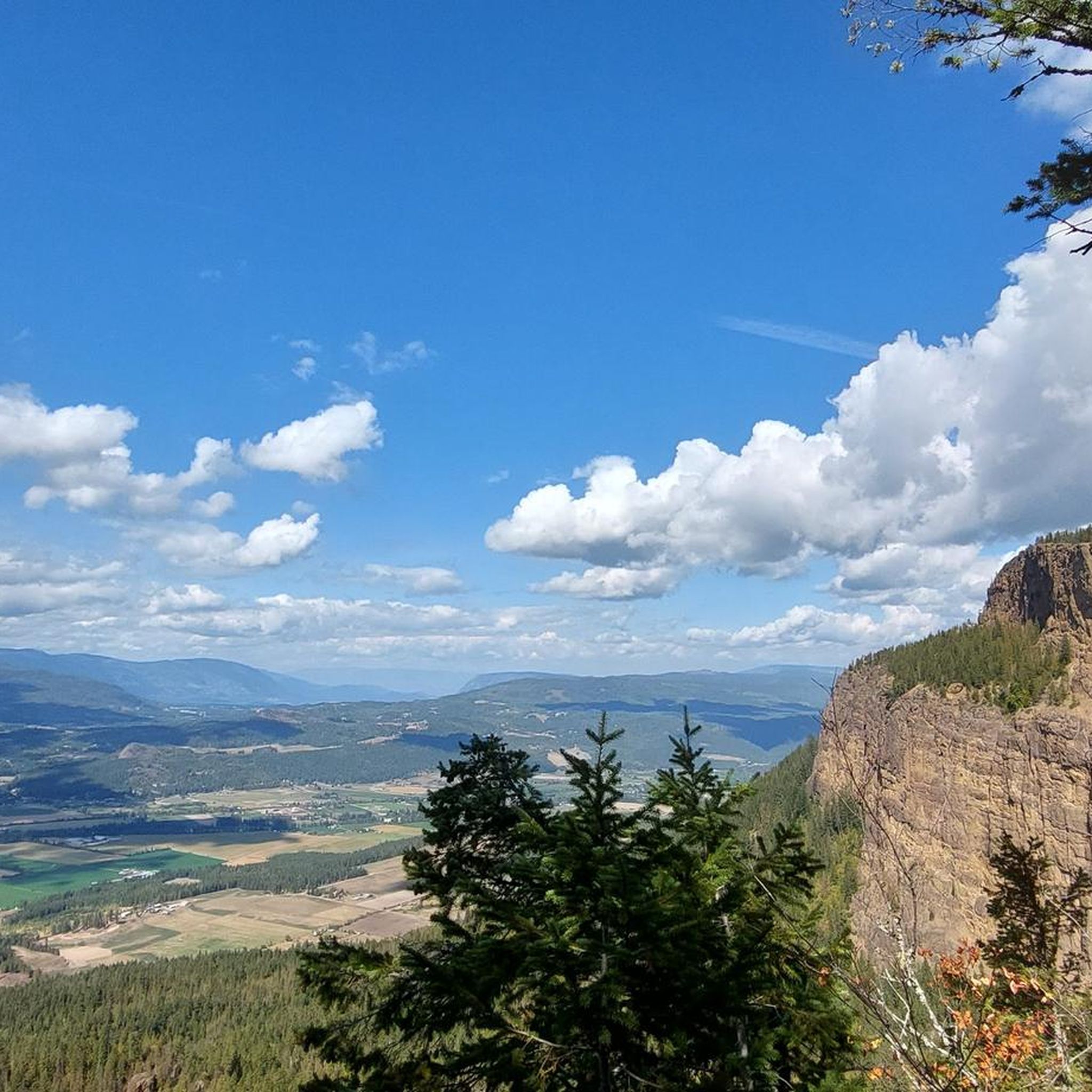
Road cycling routes around Area F (Grindrod/Ashton Creek/Mabel Lake) traverse diverse landscapes characterized by the winding Shuswap River, vast farmlands, and extensive forests. The region features the large Mabel Lake, along with smaller bodies of water like Gardom Lake and Hidden Lake. Terrain varies from relatively flat sections along river valleys to more challenging climbs into the foothills of Canyon Road and the dramatic Enderby Cliffs.
Best road cycling routes around Area F (Grindrod/Ashton Creek/Mabel Lake)
- The most popular road…
Last updated: July 10, 2026
5.0
(1)
19
riders
76.9km
04:15
740m
740m
Moderate road ride. Good fitness required. Mostly well-paved surfaces and easy to ride.
5.0
(1)
21
riders
76.4km
04:12
630m
630m
Moderate road ride. Good fitness required. Mostly well-paved surfaces and easy to ride.

Sign up for free
17
riders
68.9km
03:56
670m
670m
Moderate road ride. Good fitness required. Some segments of this route may be unpaved and difficult to ride.
19
riders
67.2km
03:43
660m
660m
Moderate road ride. Good fitness required. Some segments of this route may be unpaved and difficult to ride.
14
riders
73.6km
04:02
660m
660m
Moderate road ride. Good fitness required. Mostly well-paved surfaces and easy to ride.
Get access to more routes and recommendations from other explorers.
Sign up for free
Already have an account?
Our route recommendations are based on thousands of hikes, rides, and runs completed by other people on komoot.
Start today with a free account
Your next adventure awaits.
Login or Signup
Popular around Area F (Grindrod/Ashton Creek/Mabel Lake)
Tips from the Community

Shuswap Lake, which has more than 250 miles of navigable shoreline, is home to several species of salmonids, including chinook salmon, coho, sockeye, rainbow trout, and lake trout. These fish are of great importance for recreational fishing in the area.
1
0
Salmon Arm is a community located on the south arm of Shuswap Lake in the Thompson Okanagan region, British Columbia. This lake is known for its recreational activities, including water sports, fishing, and hiking.
1
0
Frequently Asked Questions
How many road cycling routes are available in Area F (Grindrod/Ashton Creek/Mabel Lake)?
There are over 10 road cycling routes available in Area F, ranging from moderate to difficult. These routes are highly rated by the komoot community, with an average score of 5.0 stars.
What kind of terrain can I expect on road cycling routes in Area F?
Road cycling in Area F offers diverse terrain. You'll find relatively flat sections along river valleys, such as the Shuswap River, as well as more challenging climbs into the foothills of Canyon Road and near the dramatic Enderby Cliffs. Routes often feature a mix of well-paved surfaces and some unpaved or bumpy sections, especially on longer loops like the Mabel Lake Loop.
Are there any particularly long or challenging road cycling routes around Mabel Lake?
Yes, the Mabel Lake Loop is an epic, longer route (over 200km) that can be completed as an intense single-day ride or a two-day bikepacking adventure. It features paved sections on Enderby Mabel Lake Road and Lumby Mabel Lake Road, transitioning to well-maintained gravel forest service roads around Mabel Lake itself, offering light traffic and abundant wildlife.
What are some popular river-following road cycling routes in the region?
The Shuswap River is a central feature for many scenic routes. A popular option is the Shuswap River loop from Grindrod, a moderate 73.6 km trail offering pastoral scenery through farmlands and forests. Another well-liked route is the
Are there road cycling routes suitable for beginners or those looking for an easier ride?
While many routes are moderate to difficult, the Back Enderby Road is noted for its relatively flat terrain, making it an excellent option for an easier ride lasting one to two hours, with spectacular views. You'll generally find easier sections along the river valleys.
What are the more challenging road cycling options in Area F?
For a more challenging experience, consider routes that include climbs up the foothills of Canyon Road, which lead towards Gardom Lake. The Shuswap River loop from Enderby is also classified as difficult, featuring significant elevation gain over its 99.1 km length.
Where can I find parking for road cycling routes in Area F?
Parking is generally available in the towns and villages along the routes, such as Grindrod and Ashton Creek. For routes around Mabel Lake, consider parking near Mabel Lake Provincial Park, which offers camping and day-use facilities. Specific parking details may vary by route, so it's advisable to check local information for your chosen starting point.
Is public transport available for cyclists in Area F (Grindrod/Ashton Creek/Mabel Lake)?
Public transport options specifically catering to cyclists in Area F are limited. Most cyclists rely on personal vehicles to access starting points for routes. It's recommended to plan your logistics accordingly, especially for longer or one-way rides.
What is the best time of year for road cycling in Area F?
The best time for road cycling in Area F is typically during the warmer months, from late spring through early autumn. This period offers pleasant temperatures and generally dry conditions. Always check local weather forecasts before heading out, as conditions can vary.
Are there any family-friendly road cycling routes in Area F?
For families, routes with less elevation and away from heavy traffic are ideal. The relatively flat sections along the Shuswap River or the Back Enderby Road could be good starting points, offering scenic views in a more relaxed setting. Always assess the route's specific conditions and traffic levels for suitability.
What can I see along the road cycling routes in Area F?
Cyclists will encounter diverse scenery, including vast farmlands, grazing animals, and century farmhouses. Natural features include the winding Shuswap River, Mabel Lake, and the dramatic Enderby Cliffs. You might also spot attractions like the Begbie Falls or Margaret Falls, and enjoy views from the Tower Lookout.
Are there places to stop for food or refreshments along the routes?
Yes, you'll find local establishments in the area. Ashton Creek is home to Lorenzo's Cafe and a general store, which are convenient stops for provisions. The Riverfront Pub in Grindrod is another option for refreshments. Some routes may also pass by attractions like Baccata Ridge Winery for a unique stop.
What do other road cyclists enjoy the most about road cycling in Area F (Grindrod/Ashton Creek/Mabel Lake)?
The area is highly rated by the komoot community, with an average score of 5.0 stars. Reviewers often praise the diverse landscapes, from pastoral farmlands along the Shuswap River to the stunning views around Mabel Lake, and the variety of routes catering to different fitness levels.
Most popular routes around Area F (Grindrod/Ashton Creek/Mabel Lake)
Most popular attractions around Area F (Grindrod/Ashton Creek/Mabel Lake)

Get inspired with the komoot mobile app


Explore more
Browse the best Road cycling routes in other regions.
