The best running trails around Lacs De Vens 1Er
293
runners
22
runs
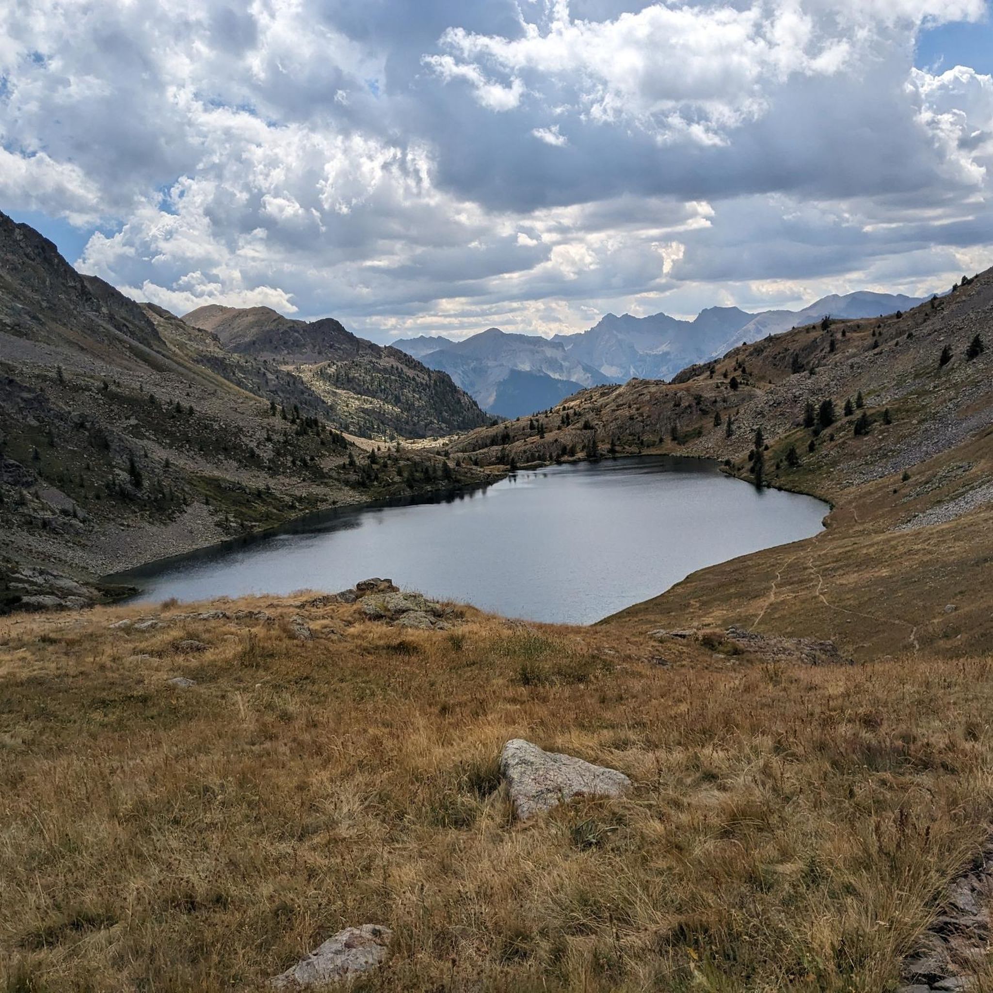
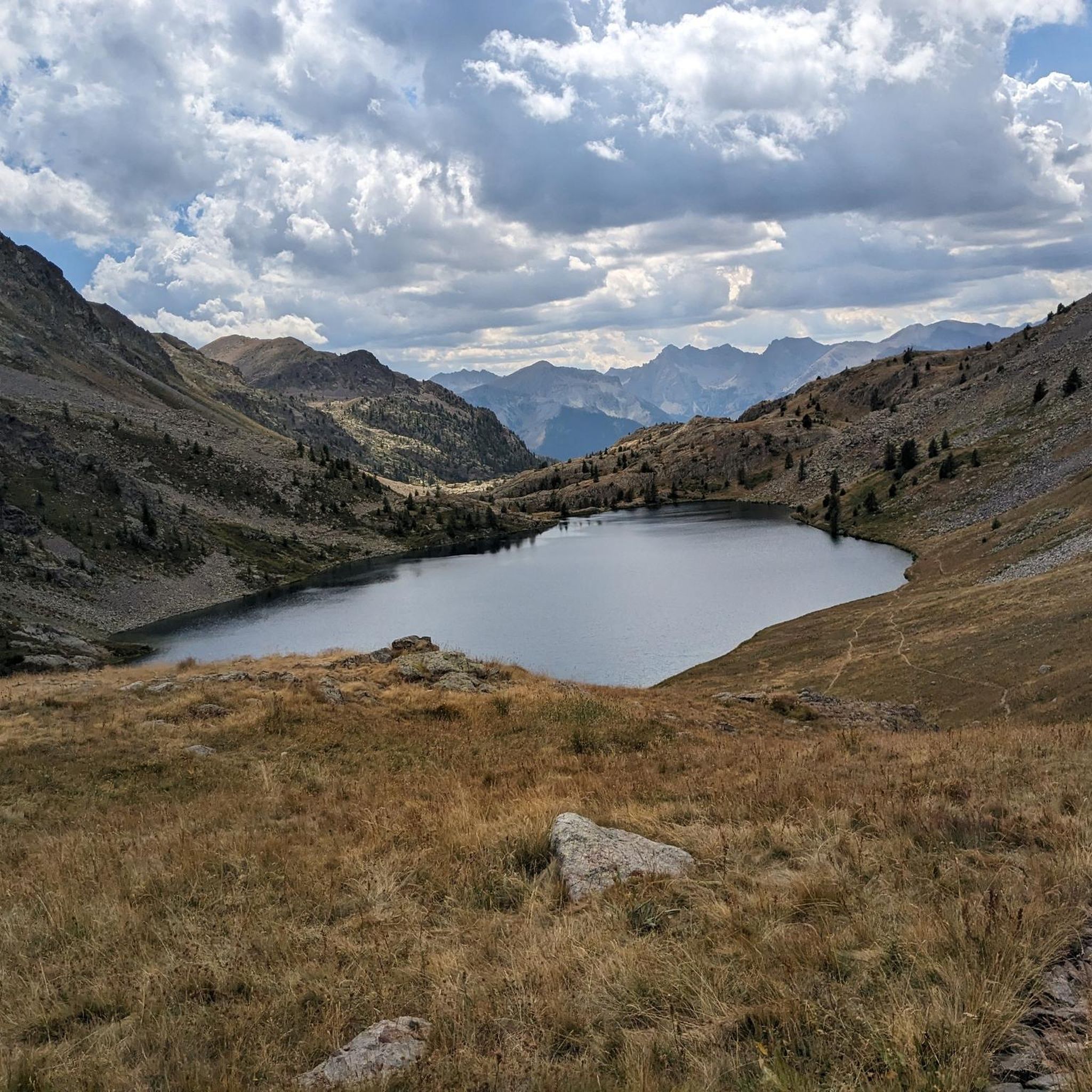
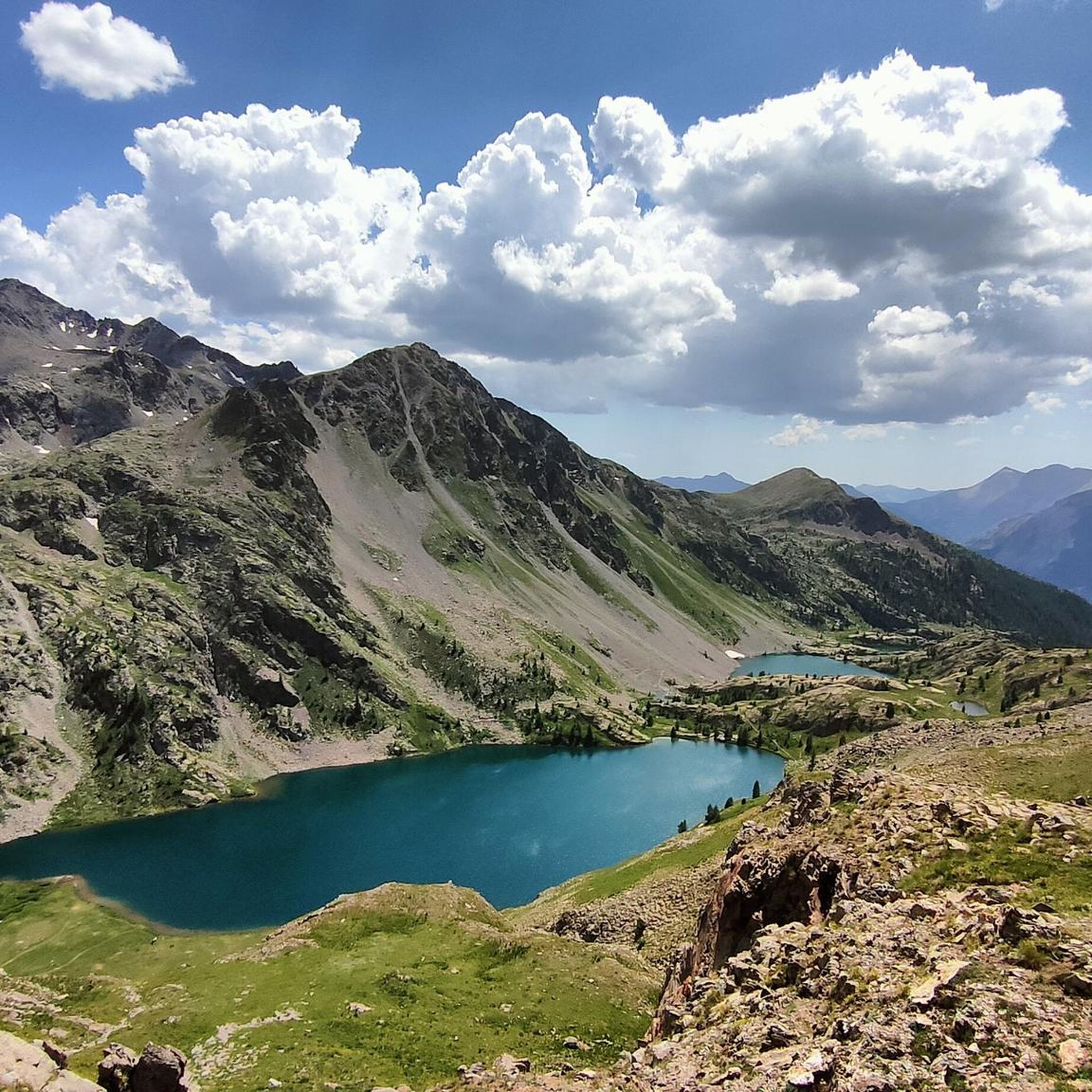
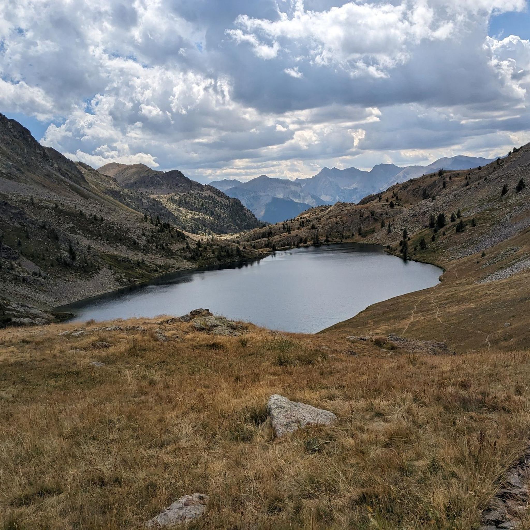
Jogging around Lacs De Vens 1Er offers routes through the Mercantour National Park, characterized by a series of alpine lakes situated between 2,200 and 2,400 meters in altitude. The terrain varies, featuring serene larch forests, rugged rocky areas, and expansive alpine lawns. Notable geological structures, including a limestone bridge and the Tortisse needles with their natural arch, are present along some routes. The region provides diverse landscapes for running, with significant elevation changes on many trails.
Best jogging routes around…
Last updated: June 27, 2026
26
runners
21.6km
03:55
1,660m
1,660m
Hard run. Very good fitness required. Sure-footedness, sturdy shoes and alpine experience required.
14
runners
12.3km
01:53
670m
670m
Hard run. Very good fitness required. Mostly paved surfaces. Suitable for all skill levels.

Sign up for free
8
runners
26.1km
04:31
1,710m
1,710m
Hard run. Very good fitness required. Sure-footedness, sturdy shoes and alpine experience required.
10
runners
11.3km
01:52
720m
720m
Hard run. Very good fitness required. Mostly paved surfaces. Suitable for all skill levels.
6
runners
14.8km
02:06
640m
640m
Hard run. Very good fitness required. Mostly paved surfaces. Suitable for all skill levels.
Get access to more routes and recommendations from other explorers.
Sign up for free
Already have an account?
Our route recommendations are based on thousands of hikes, rides, and runs completed by other people on komoot.
Start today with a free account
Your next adventure awaits.
Login or Signup
Tips from the Community

A manageable town with a small market square surrounded by bakeries, grocery stores and restaurants.
0
0

This friendly refuge is set in a very mineral and spectacular environment. It welcomes you in a warm atmosphere and offers local, hearty and tasty dishes. It has 36 beds (reduced to 20 during the winter period). Remember to book on https://refugederabuons.ffcam.fr/FR_home.html
0
0

The plateau and the Col d'Anelle, from the Provençal "lamb", are former summer pasture districts. Culminating at 1,739 meters above sea level, you benefit from a splendid panorama over the Tinée valley and its peaks. A shelter and a water point are erected nearby.
0
0
Saint-Étienne-de-Tinée is a pretty mountain town of 1,400 inhabitants, located in the heart of the Mercantour National Park. Famous in winter for its ski resort of Auron, the city does not lose its charm in summer since it is crossed by the mythical GR 5. In the village made of narrow streets, many shops offer accommodation and catering.
0
0
Frequently Asked Questions
What kind of terrain can I expect on the running routes around Lacs De Vens?
The running routes in Lacs De Vens offer a diverse range of terrain, from serene larch forests and expansive alpine lawns to more rugged rocky areas. You'll encounter significant elevation changes, characteristic of the Mercantour National Park, with paths traversing between 2,200 and 2,400 meters in altitude.
Are there any easy or beginner-friendly running trails in Lacs De Vens?
While many routes in Lacs De Vens are challenging, there are some paths suitable for easier runs. The region offers a few routes designated as 'easy hikes' with accessible terrain and minimal elevation gain, perfect for a leisurely jog or family outing. Out of 28 available routes, one is rated as easy and two as moderate.
What notable natural features or landmarks can I see while running in Lacs De Vens?
Lacs De Vens is renowned for its series of five to seven emerald-colored alpine lakes, which are a constant highlight. Runners can also discover unique geological structures such as a limestone bridge and the spectacular Tortisse needles with their natural arch. The Refuge de Vens – Tortisse Arch loop from Vens specifically offers views of the Tortisse Arch.
Are there any circular running routes available in the Lacs De Vens area?
Yes, several routes in Lacs De Vens are designed as loops, offering varied scenery without retracing your steps. Examples include the challenging Collet de Tortisse loop from Vens and the Refuge de Vens – Tortisse Arch loop from Vens, both popular among local runners.
What is the best time of year for jogging in Lacs De Vens?
The best time for jogging in Lacs De Vens is typically during the warmer months, from late spring to early autumn, when the alpine trails are clear of snow and the weather is most favorable. This allows for full access to the high-altitude lakes and passes. Winter jogging would be significantly more challenging due to snow and ice conditions.
Can I bring my dog on the running trails in Lacs De Vens?
Lacs De Vens is located within the Mercantour National Park, which has specific regulations regarding dogs to protect its diverse flora and fauna. Generally, dogs are not permitted on trails within the central zone of the park, even on a leash. It's advisable to check the latest park regulations before planning your run with a dog.
Are there any family-friendly running options in Lacs De Vens?
While many routes are challenging, some paths are considered 'easy hikes' with minimal elevation, which could be suitable for families looking for a less strenuous run or walk. These trails often traverse serene larch forests and alpine lawns, offering beautiful scenery for all ages to enjoy.
Where can I find parking for the running trails in Lacs De Vens?
Access to the Lacs De Vens area typically involves reaching trailheads by car. Specific parking areas are usually available at the starting points of popular routes or near villages like Vens or Saint-Étienne-de-Tinée. It's recommended to check route descriptions for precise parking information.
What kind of wildlife might I spot while running in Lacs De Vens?
The Mercantour National Park is rich in wildlife. While running, you might spot marmots, which are common in the alpine meadows. Keep an eye out for various bird species and other mountain fauna that inhabit this protected environment.
What do other runners say about the running routes in Lacs De Vens?
The running routes in Lacs De Vens are highly regarded by the komoot community, with an average rating of 5.0 stars. Runners frequently praise the breathtaking alpine landscapes, the series of interconnected lakes, and the challenging yet rewarding nature of the trails.
Are there any places to stop for refreshments or accommodation near the running routes?
Yes, the Refuge de Vens, a mountain hut built on a cliff overlooking the largest lake, provides a convenient rest stop with stunning views. Additionally, nearby villages like Saint-Étienne-de-Tinée may offer further amenities, including cafes and accommodation options.
How many running routes are available around Lacs De Vens?
There are over 25 running routes available around Lacs De Vens, offering a wide range of distances and difficulties. The majority of these routes are rated as difficult, providing significant challenges for experienced runners.
Most popular routes around Lacs De Vens 1Er

Get inspired with the komoot mobile app


Explore more
Browse the best Running Trails & Routes in other regions.
