The best mountain hikes around Tende
4.5
(4)
40
hikers
9
hikes
Mountaineering around Tende offers access to the rugged terrain of the Southern French Alps, characterized by its diverse ecosystems and significant historical sites. The region serves as a gateway to Mercantour National Park, featuring high mountain passes and glacial valleys. Mountaineers can explore varied landscapes, from alpine meadows to the unique prehistoric rock engravings of the Vallée des Merveilles and Fontanalba Valley. This area provides a challenging environment for high-altitude trekking and exploration.
Best mountaineering routes around Tende
- The most…
Last updated: September 29, 2026
4.0
(1)
9
hikers
16.5km
07:58
1,300m
1,300m
Hard mountaineering route. Very good fitness required. Sure-footedness, sturdy shoes and alpine experience required.
3.0
(1)
8
hikers
17.6km
07:35
1,360m
1,360m
Hard mountaineering route. Very good fitness required. Sure-footedness, sturdy shoes and alpine experience required.

9
hikers
Hard mountaineering route. Very good fitness required. Sure-footedness, sturdy shoes and alpine experience required.
5.0
(1)
3
hikers
13.6km
07:03
1,160m
1,160m
Hard mountaineering route. Very good fitness required. Mostly accessible paths. Sure-footedness required.
5.0
(1)
5
hikers
Hard mountaineering route. Very good fitness required. Sure-footedness, sturdy shoes and alpine experience required.
Get access to more routes and recommendations from other explorers.
Already have an account?
Our route recommendations are based on thousands of hikes, rides, and runs completed by other people on komoot.
Start today with a free account
Your next adventure awaits.
Popular around Tende

The Komoot Torino-Nice Rally
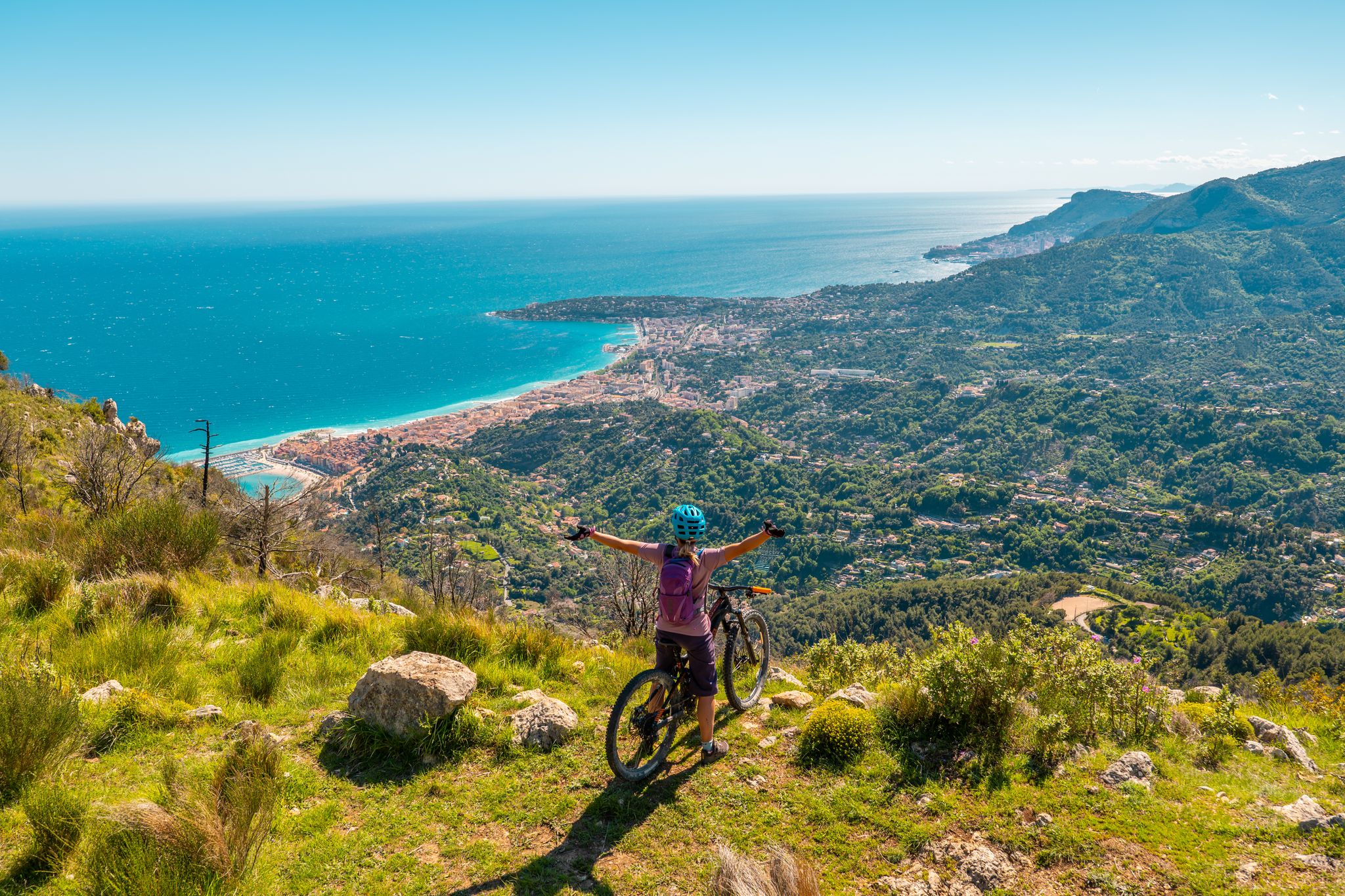
RivierALP – MTB routes from alpine passes to the Riviera
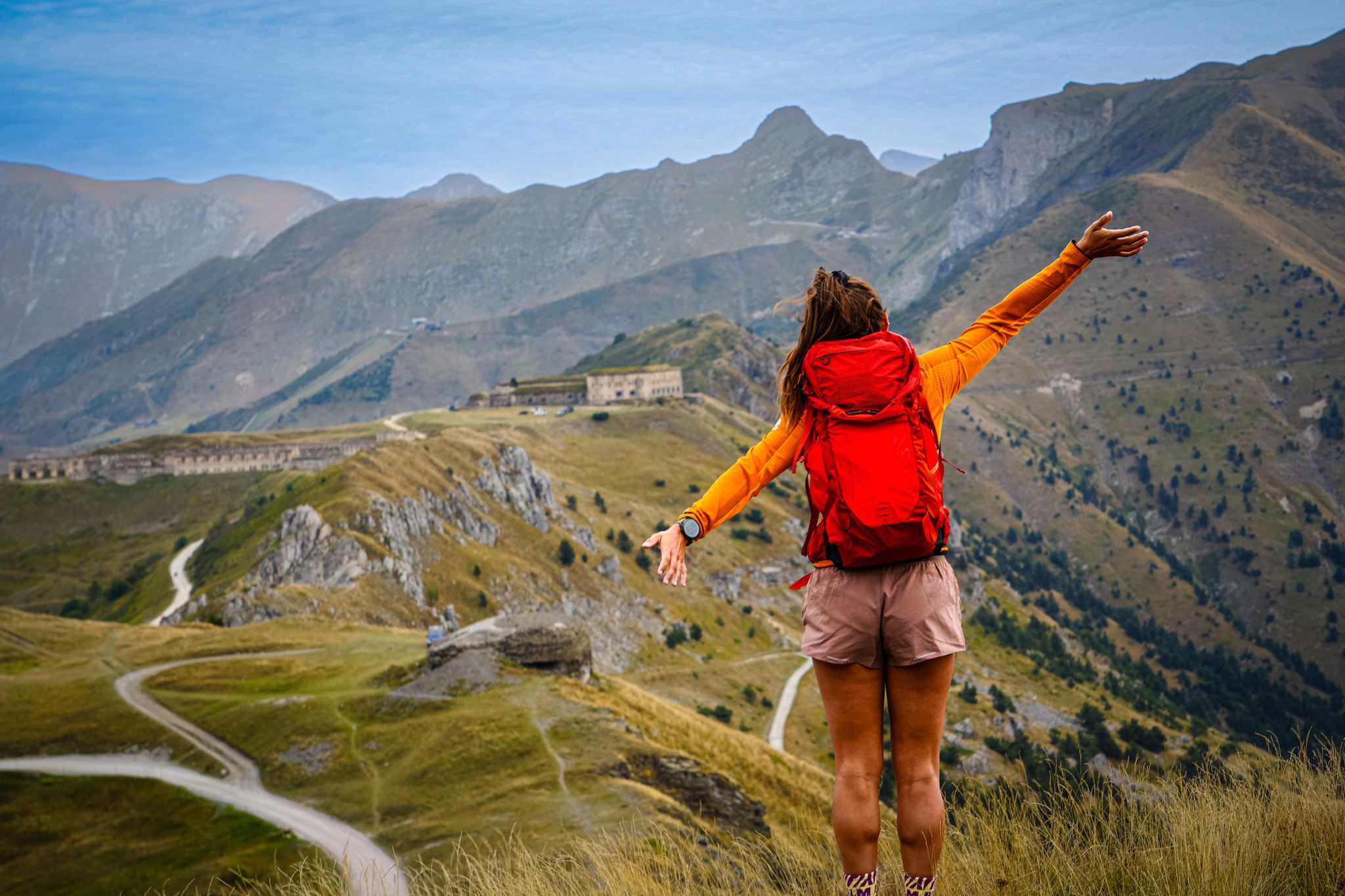
RivierALP – great hikes between the Alps and the Mediterranean
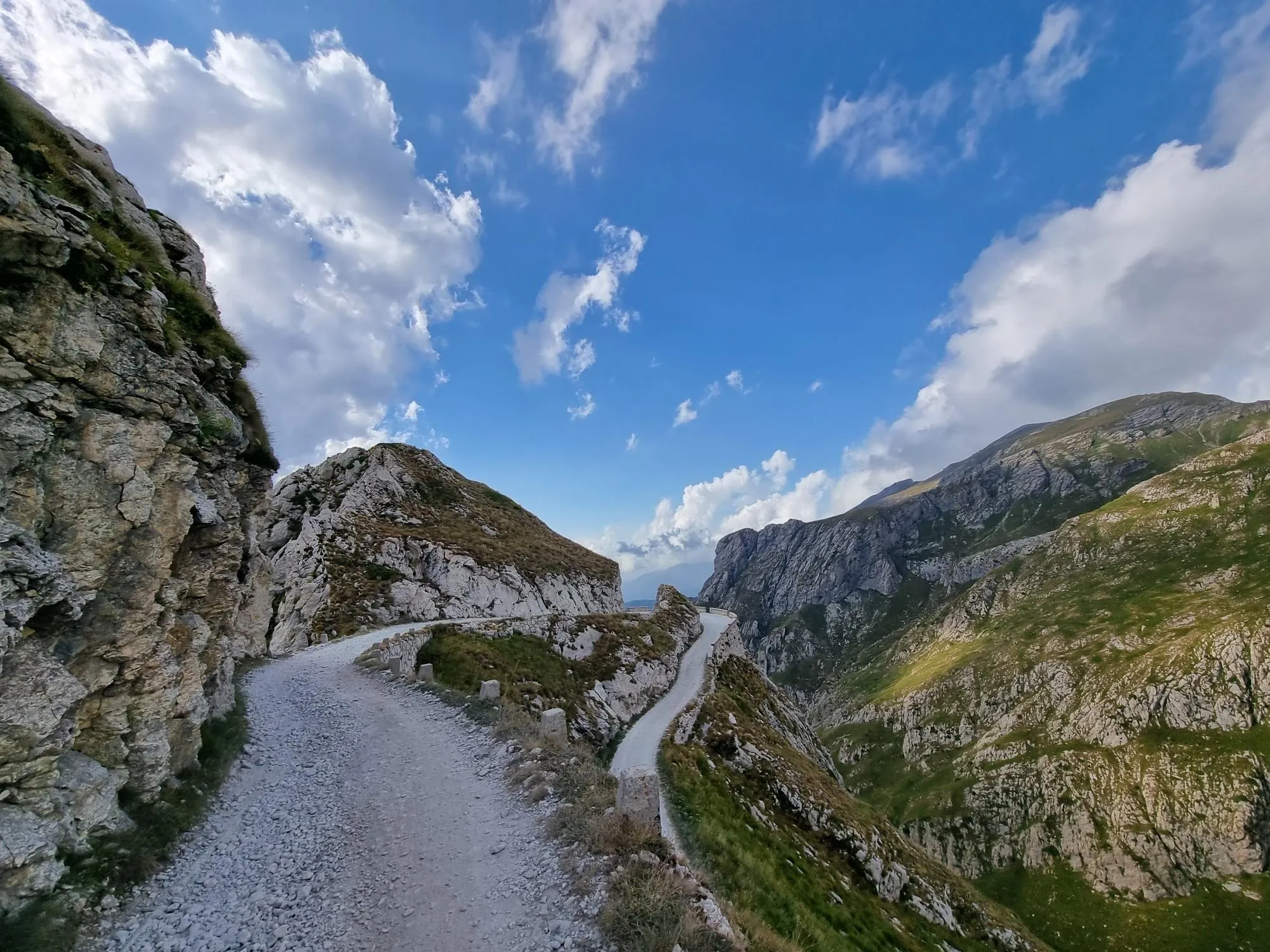
Hunting for white gold in the Mediterranean Alps – Alta Via del Sale
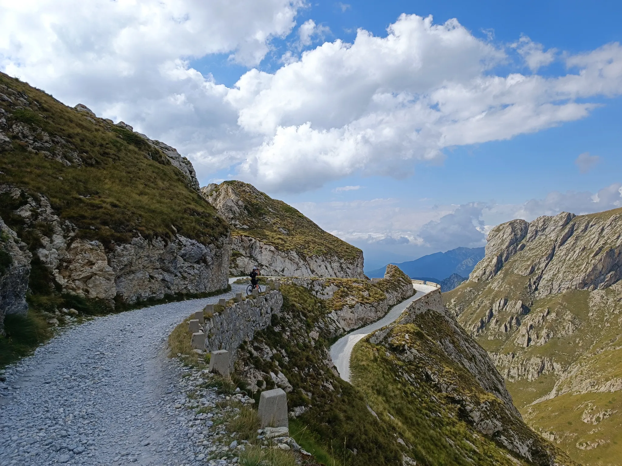
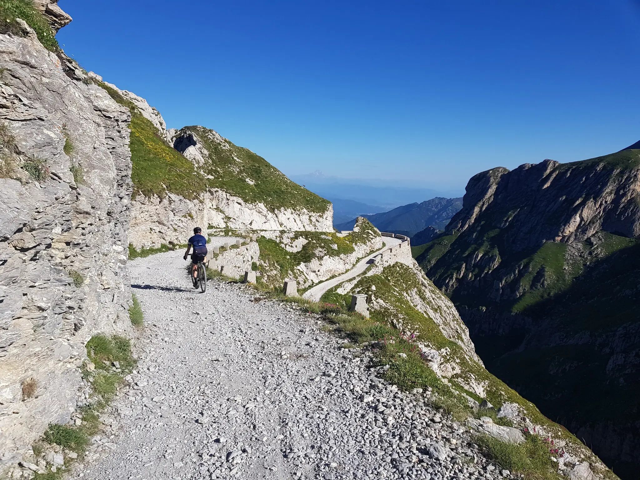
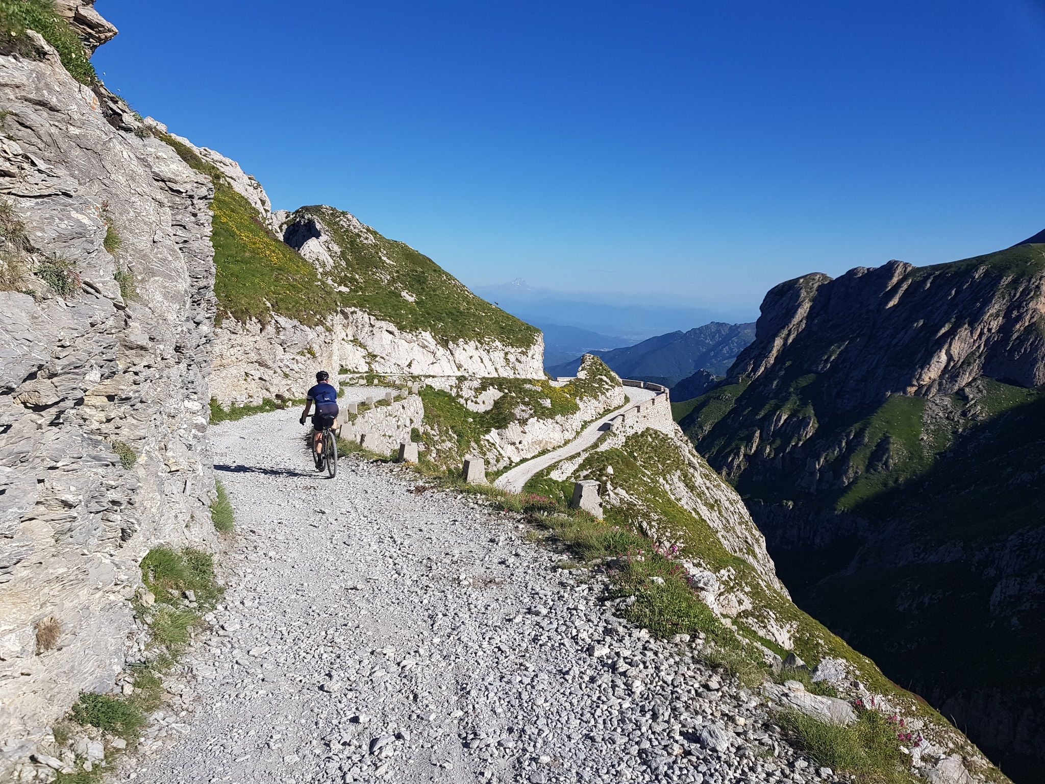
Gravel roads and serpentines – Mediterranean Alps Cycle Route

Crossing the Mercantour National Park – GR 52
From the boot’s toe to the heel – the most beautiful cycling Tours in Italy
Mediterranean passes and gentle hills — cycling in Piedmont
Hiking around Tende
MTB Trails around Tende
Other adventures around Tende


Tips from the Community

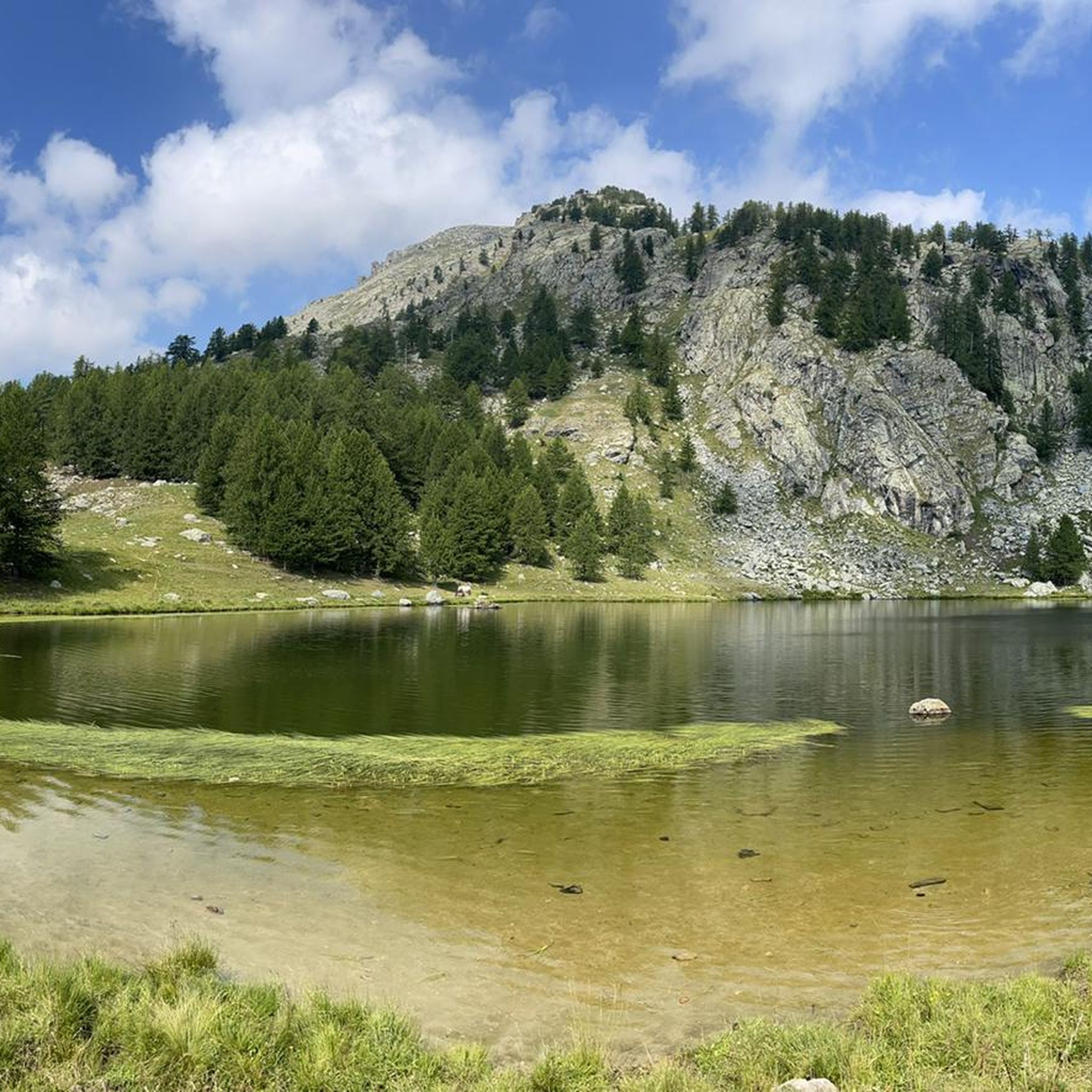
Located at 1,928 meters above sea level in the heart of the homonymous Natural Park, this small alpine body of water lies in a picturesque grassy hollow right at the foot and start of the famous Torinesi and Genovesi canals. Next to the lake is the Rifugio Garelli with the adjacent botanical station "Danilo Re". Being a protected area with a very high biodiversity value, it is the ideal place to stop and observe up close the rich flora typical of the park and, with a bit of attention, spot the chamois and marmots that inhabit the area.
0
0

Beautiful and direct ascent from Don Barbera
1
0

Well-preserved military fort but not entirely accessible
0
0

A dip into history never hurts
0
0

The Pas de l'Arpette (2511 m) is the gateway to the Merveilles Valley, from Vésubie. Effort and beautiful emotions guaranteed. From the Gordolasque car park, cross the Countet bridge (1692 m) and turn right at milestone 412, in the direction of Pas de l'Arpette (2511 m), which you reach after crossing the Empuonrame valley. Then we can move to the Merveilles Valley, which can be visited in the company of a guide approved by the Mercantour National Park to observe the more than 40,000 rock carvings, the oldest dating back to the Copper Age and the beginning of the Bronze Age. . Age. The return is made by the same route.
1
0
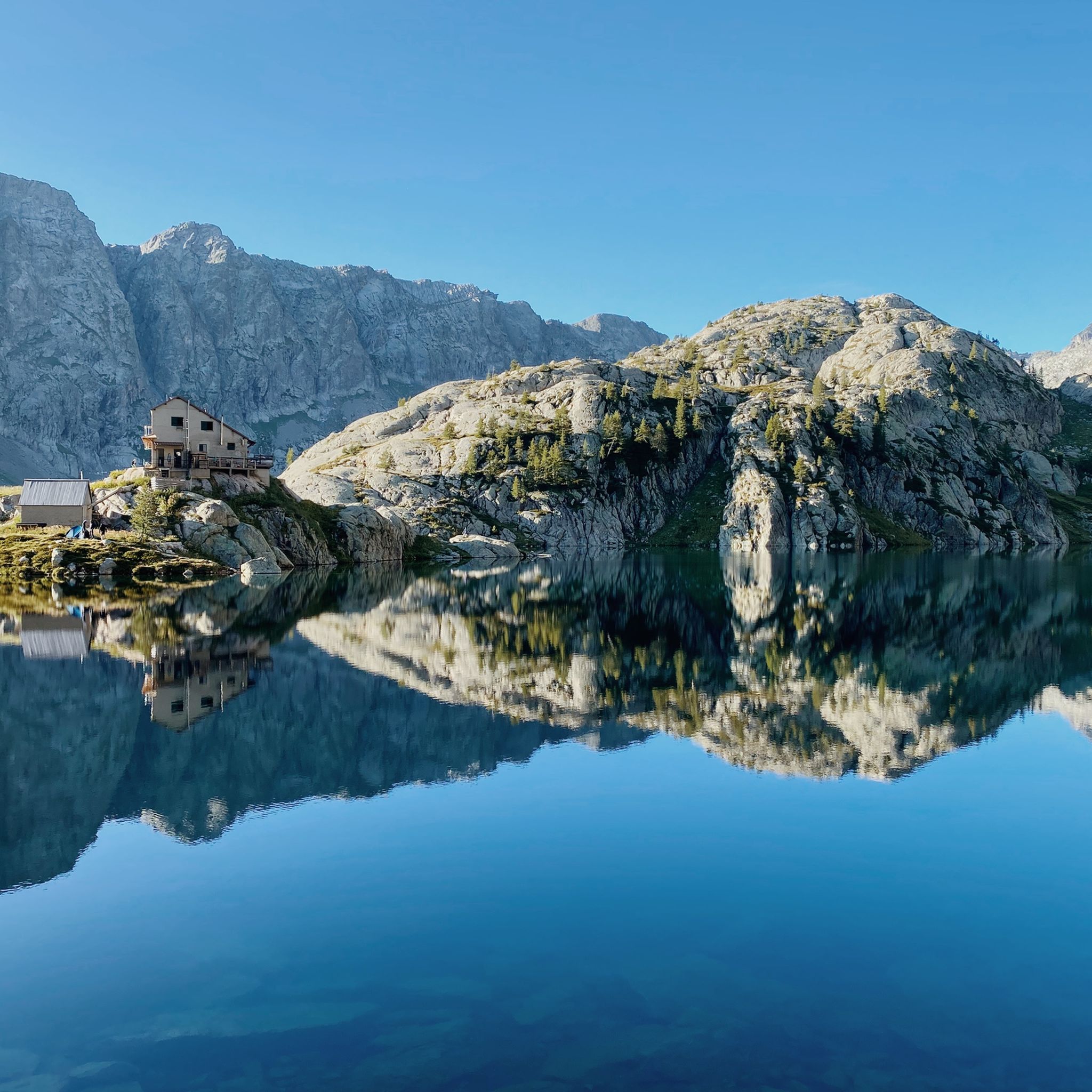
The refuge is located on the banks of the upper Long lake, in the heart of the rock engravings of the Vallée des Merveilles, surrounded by numerous lakes and peaks: Bégo, Grand Capelet, Cime du Diable... The refuge is located in an open-air museum. This exceptional archaeological site, classified as a historical monument, extends between two valleys around Mont Bégo. There are 40,000 rock engravings dating from -4000 to -2000 BC, which are marks of pastoral occupation. When you cross the Vallée des Merveilles on the GR, you feel an almost mystical and very unusual side.
1
0
The Nice refuge is located at 2,232 meters above sea level, in the town of Bélvédère, Alpes-Maritimes, in the Mercantour National Park.
0
0

This car park is located at the entrance to the Vallée des Merveilles in Mercantour. To get there, simply follow the signs indicating the hike. It is one of the most beautiful sites in the region!
1
0
Frequently Asked Questions
How challenging are the mountaineering routes around Tende?
Mountaineering around Tende is primarily characterized by its rugged alpine terrain and high mountain passes, offering a challenging environment for high-altitude trekking. Most of the routes in this area are rated as difficult, with significant elevation gains and demanding distances. For example, the Lac de la Fous – Lacs du Mont Clapier loop from Parking du Countet is a 10.1-mile trail with over 1300 meters of ascent.
Are there any easier mountaineering options for beginners or less experienced hikers in Tende?
While the Tende region is known for its challenging mountaineering, there is one route rated as moderate: the Lago Frisson Inferiore – Lago degli Alberghi loop from Palanfrè. This 7.3-mile trail leads through a landscape dotted with glacier lakes and is a good option for those seeking a less strenuous but still rewarding experience.
What natural landmarks or points of interest can I expect to see on mountaineering routes near Tende?
The Tende region, bordering Mercantour National Park, is rich in natural beauty. You can encounter magnificent glacier lakes, such as those on the Lac de la Fous – Lacs du Mont Clapier loop. The Fontanalba Valley, with its five main lakes including Lac Vert and Lac des Grenouilles, is another scenic highlight. High mountain passes like the Col de Diable (2430m) offer dramatic shifts in scenery and panoramic views.
Are there any historical sites or archaeological wonders accessible during mountaineering trips in Tende?
Yes, the Tende region offers a unique blend of natural beauty and archaeological exploration. The Mercantour National Park is home to the famous Vallée des Merveilles and the Fontanalba Valley, both renowned for their extensive collections of Bronze Age rock engravings. Mountaineers can also retrace historic paths like the Via del Sale (Salt Route), an ancient trading route along the highest ridge line of the Ligurian Alps.
Can I find waterfalls along the mountaineering trails in Tende?
Yes, the Tende area features several beautiful waterfalls that can be incorporated into or viewed from mountaineering routes. Notable waterfalls include the Saut Waterfalls, Waterfall Gias Fontana, and the Pis del Pesio Waterfalls. These natural features add to the scenic diversity of the region's trails.
Are there any circular mountaineering routes available in Tende?
Many of the mountaineering routes around Tende are designed as circular paths, allowing you to start and end at the same point. Examples include the challenging Laghetto dell'Abisso – Mont Bec Roux loop from Col de Tende / Colle di Tenda and the Lac Mouton – Pas de l'Arpette loop from Parking du Countet. These loops often traverse multiple passes and offer varied terrain.
What is the best time of year for mountaineering in Tende?
The best time for mountaineering in Tende is typically during the warmer months, from late spring to early autumn (roughly June to September). During this period, snow has usually melted from higher elevations, and the weather is more stable, making high mountain passes and trails accessible. Always check local conditions and forecasts before heading out, as alpine weather can change rapidly.
Are there huts or refuges available for overnight stays along the mountaineering routes?
Yes, the Tende region offers several huts and refuges that can serve as resting points or overnight accommodations for mountaineers. Some options include Chalet Le Marmotte, Rifugio Don Barbera, and Rifugio Genova-Figari. These can be valuable for multi-day treks or as emergency shelters.
What do other mountaineers enjoy most about the Tende region?
The Tende region is highly rated by the komoot community, with an average score of 4.8 stars from more than 6 reviews. Mountaineers often praise the rugged alpine terrain, the breathtaking panoramic views from summits and high passes, and the unique combination of natural beauty with ancient archaeological sites like the Vallée des Merveilles. The sense of solitude on less-frequented trails is also a significant draw.
Are there any less crowded mountaineering routes in Tende for a more solitary experience?
For those seeking a more wild and solitary experience, some routes in Tende are less frequented. The region research indicates that some physically demanding circular routes are mostly without marked trails, indicated only by cairns. These routes, while requiring more experience, offer a greater sense of wilderness and fewer crowds. The Lago Ratavuloira – Cima delle Saline loop from Cima delle Saline is an example of a challenging route that might offer more solitude.
What kind of ecosystems can I expect to encounter while mountaineering in Tende?
The Tende region boasts a remarkable transition of ecosystems, moving from alpine to Mediterranean landscapes. You can expect to traverse diverse environments, including high alpine meadows, dense broom bushes, and steep grassy slopes. This variety contributes to the rich biodiversity, including butterfly meadows, making each mountaineering trip a unique ecological experience.
Most popular attractions around Tende

Get inspired with the komoot mobile app


Explore more
Browse the best Mountain Hikes & Routes in other regions.
