The best walks and hikes around Tende
4.5
(991)
6,789
hikers
105
hikes
Hiking around Tende offers access to diverse landscapes, from alpine environments to Mediterranean influences, within the Alpes-Maritimes department of France. The region is characterized by high mountain peaks, deep valleys like the Vallée des Merveilles and Fontanalba, and dense forests. Geological history and glacial activity have shaped the terrain, which also features rocky ridges and historical fortifications.
Best hiking trails around Tende
- The most popular hiking route is Lac des Mesches to Refuge des Merveilles - round trip in the Mercantour National Park, a 9.8 miles (15.8 km) trail that takes 5 hours 12 minutes to complete. This difficult route explores the pristine alpine environment of Mercantour National Park.
- Another top favourite among local hikers is Forts Circuit Trail, a moderate 6.7 miles (10.8 km) path. This trail offers views of 19th-century border forts and the surrounding Franco-Italian alpine landscape.
- Local hikers also love the The forts of Colle di Tenda – loop tour, a 9.9 miles (16.0 km) trail leading through historical fortifications and mountain passes, often completed in about 5 hours 11 minutes.
- Hiking around Tende is defined by alpine peaks, historic border forts, and glacial valleys with ancient rock engravings. The network of trails offers options for various ability levels, from moderate paths to challenging multi-day treks.
- The routes in Tende are highly rated by the komoot community with an average score of 4.6 stars from over 700 reviews. More than 5,500 hikers have used komoot to explore Tende's varied terrain.
Last updated: September 29, 2026
4.8
(53)
403
hikers
Hard hike. Very good fitness required. Mostly accessible paths. Sure-footedness required.
4.7
(30)
161
hikers
10.8km
03:30
450m
450m
Hike the moderate 6.7-mile Forts Circuit Trail in Mercantour National Park, exploring historical forts and enjoying panoramic views.

4.7
(31)
133
hikers
16.0km
05:12
650m
650m
The forts of Colle di Tenda loop tour offers a challenging hike through the border region between Italy and France. You will encounter varied terrain, from old military mule tracks to steep climbs on narrower paths, with some rougher sections and loose stone. As you hike this difficult 9.9-mile (16.0 km) route, expect spectacular panoramic views of the Maritime and Ligurian Alps, often stretching all the way to the sea. The trail winds through high alpine valleys, providing sweeping views into both Italy and France, especially beautiful with wildflowers in spring. This route involves a significant 2136 feet (651 metres) of elevation gain, typically taking around 5 hours and 11 minutes to complete.
Planning for this hike requires a good to very good level of fitness. The trail is considered difficult, so you should be sure-footed and wear sturdy shoes. Some sections may require alpine experience due to steep climbs and rougher terrain. The Colle di Tenda pass serves as a common starting point for this and other high-mountain excursions in the area. Be prepared for the varied conditions and the physical demands of the route.
What truly sets this trail apart is its unique blend of history and natural scenery. The loop provides a direct encounter with imposing fortifications from the late nineteenth century, such as Fort Central, Fort Tabourde, and Fort Pépin. These forts were built by the Kingdom of Italy between 1877 and 1888 to defend its borders. The trail runs along the crest that divides Italy and France, giving you a continuous sense of being on an important historical and geographical boundary. The entire area is part of an extensive network of military roads built during World War I, many of which are now maintained for recreational activities.
4.5
(4)
33
hikers
17.6km
06:04
750m
740m
Embark on the Col de Tende Forts Circuit, a difficult hike that takes you across the historic Franco-Italian border. You will traverse varied terrain, including old military mule tracks and steep paths, all while enjoying alpine scenery. The route covers 10.9 miles (17.6 km) with a significant elevation gain of 2453 feet (748 metres). Expect to spend around 6 hours and 4 minutes on this challenging loop, where you will encounter impressive late 19th-century military forts like Fort Central.
This circular route requires good fitness and sure-footedness due to its difficult rating. Consider that summer heat can make some of the climbs more challenging, so plan your hydration carefully. The trail is generally considered moderate to difficult, so prepare accordingly for the varied conditions.
This trail offers a deep dive into history, showcasing late 19th-century military forts and sweeping Franco-Italian vistas. You will experience panoramas of the Maritime and Ligurian Alps, with views that can stretch all the way to the sea. Look out for the View of the Vermenagna Valley, a notable highlight along the way.
4.0
(1)
3
hikers
Hard hike. Very good fitness required. Mostly accessible paths. Sure-footedness required.
Get access to more routes and recommendations from other explorers.
Already have an account?
Our route recommendations are based on thousands of hikes, rides, and runs completed by other people on komoot.
Start today with a free account
Your next adventure awaits.
Popular around Tende
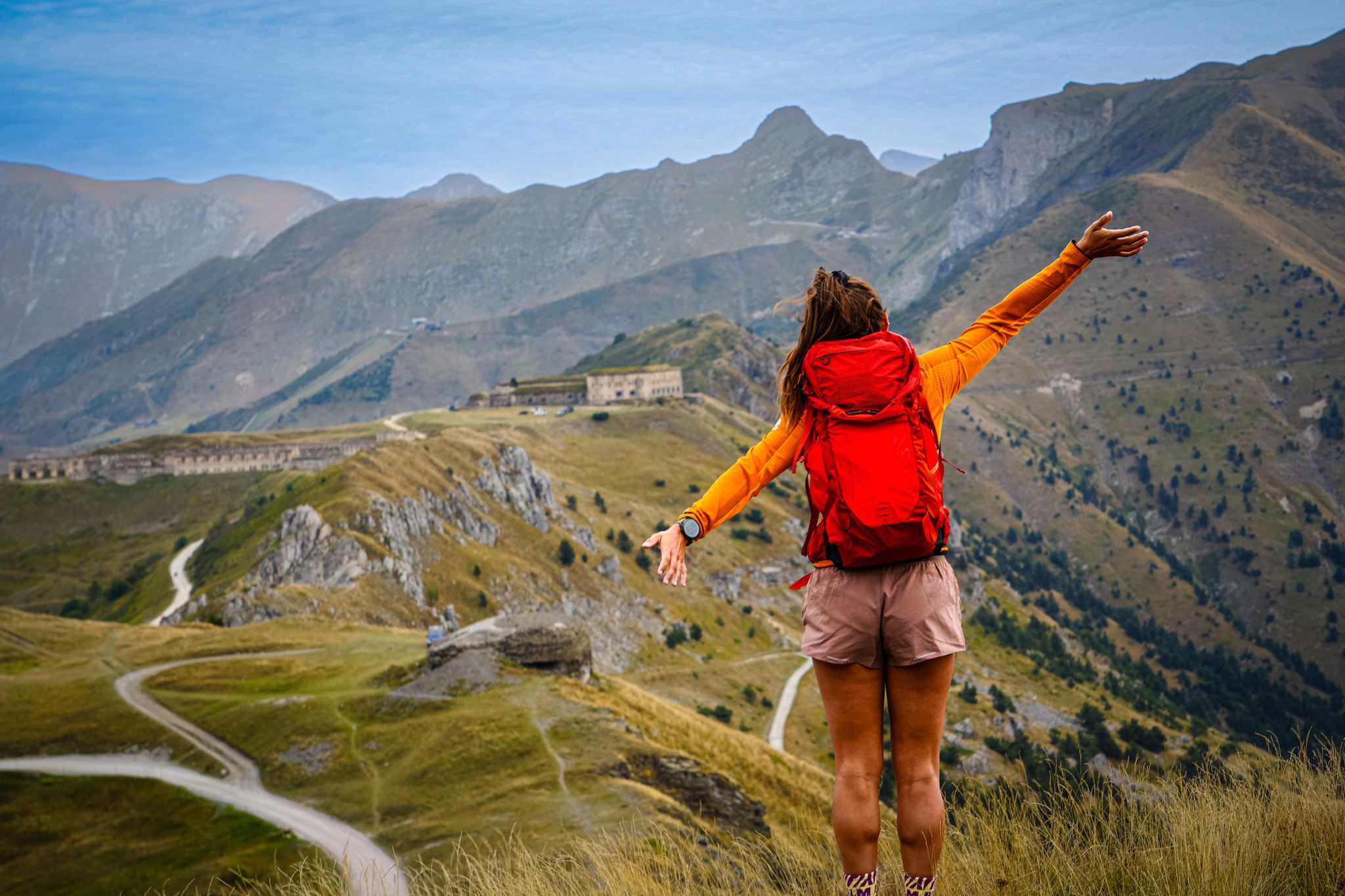
RivierALP – great hikes between the Alps and the Mediterranean

Crossing the Mercantour National Park – GR 52

The Komoot Torino-Nice Rally
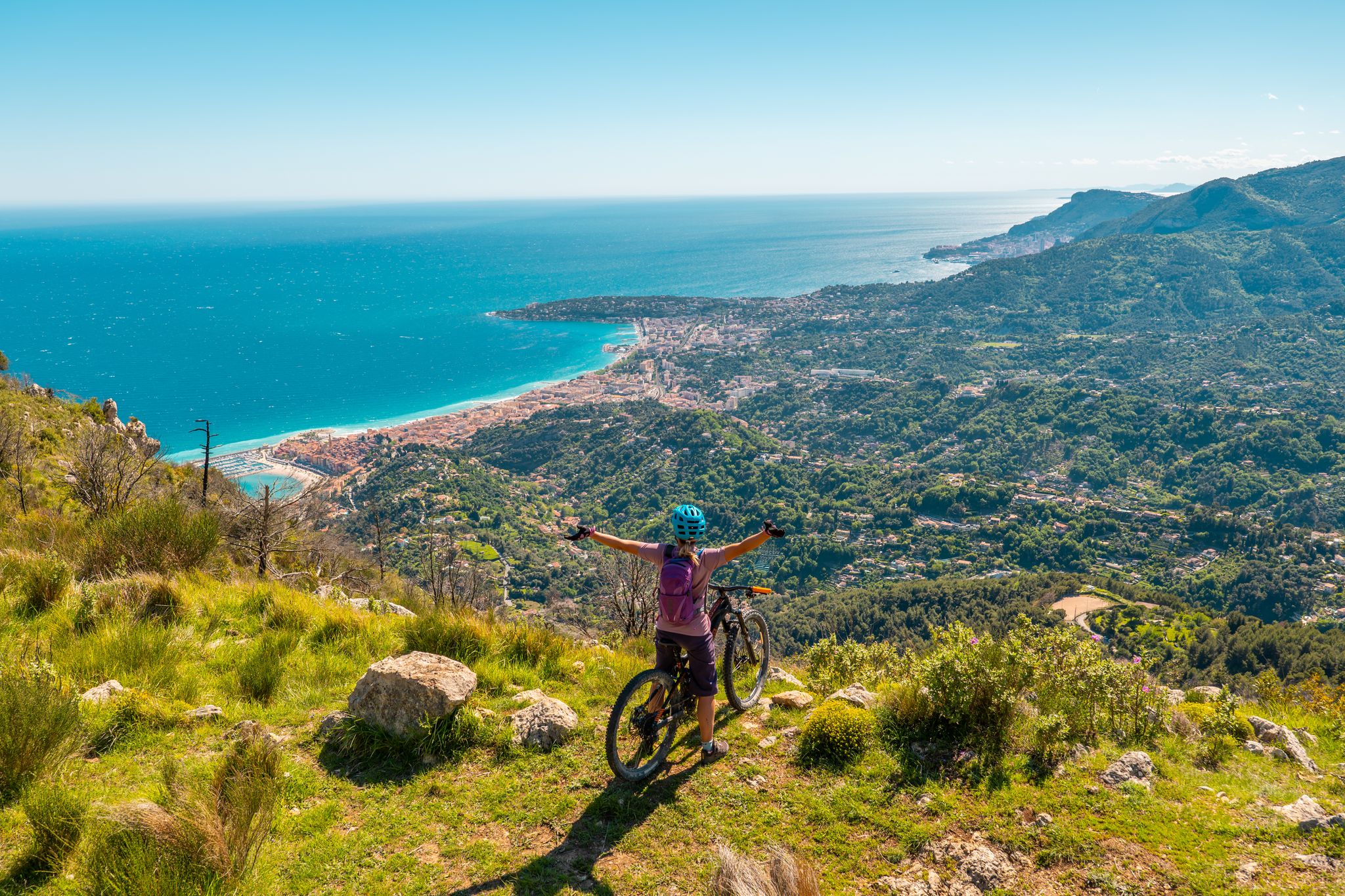
RivierALP – MTB routes from alpine passes to the Riviera
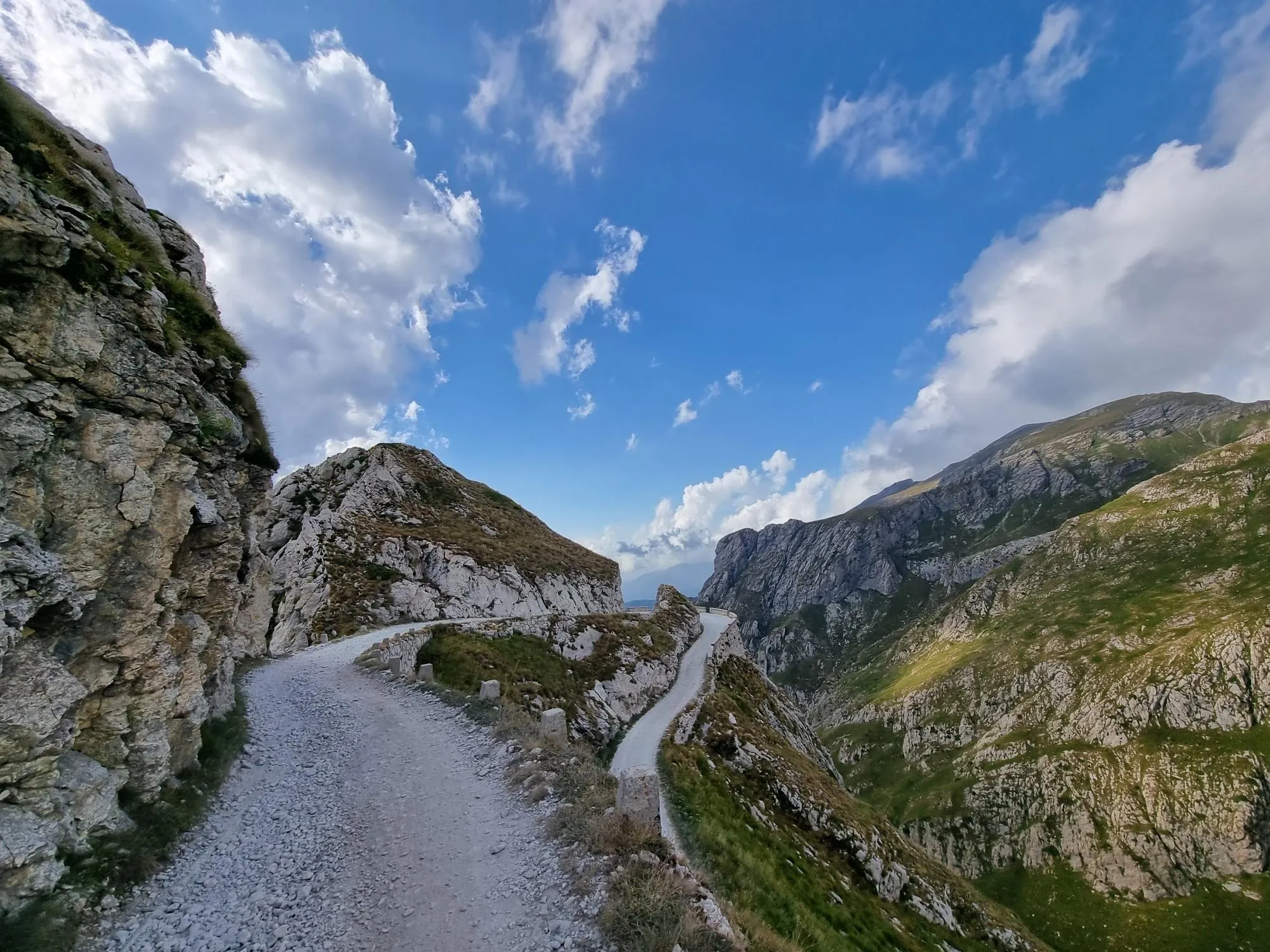
Hunting for white gold in the Mediterranean Alps – Alta Via del Sale
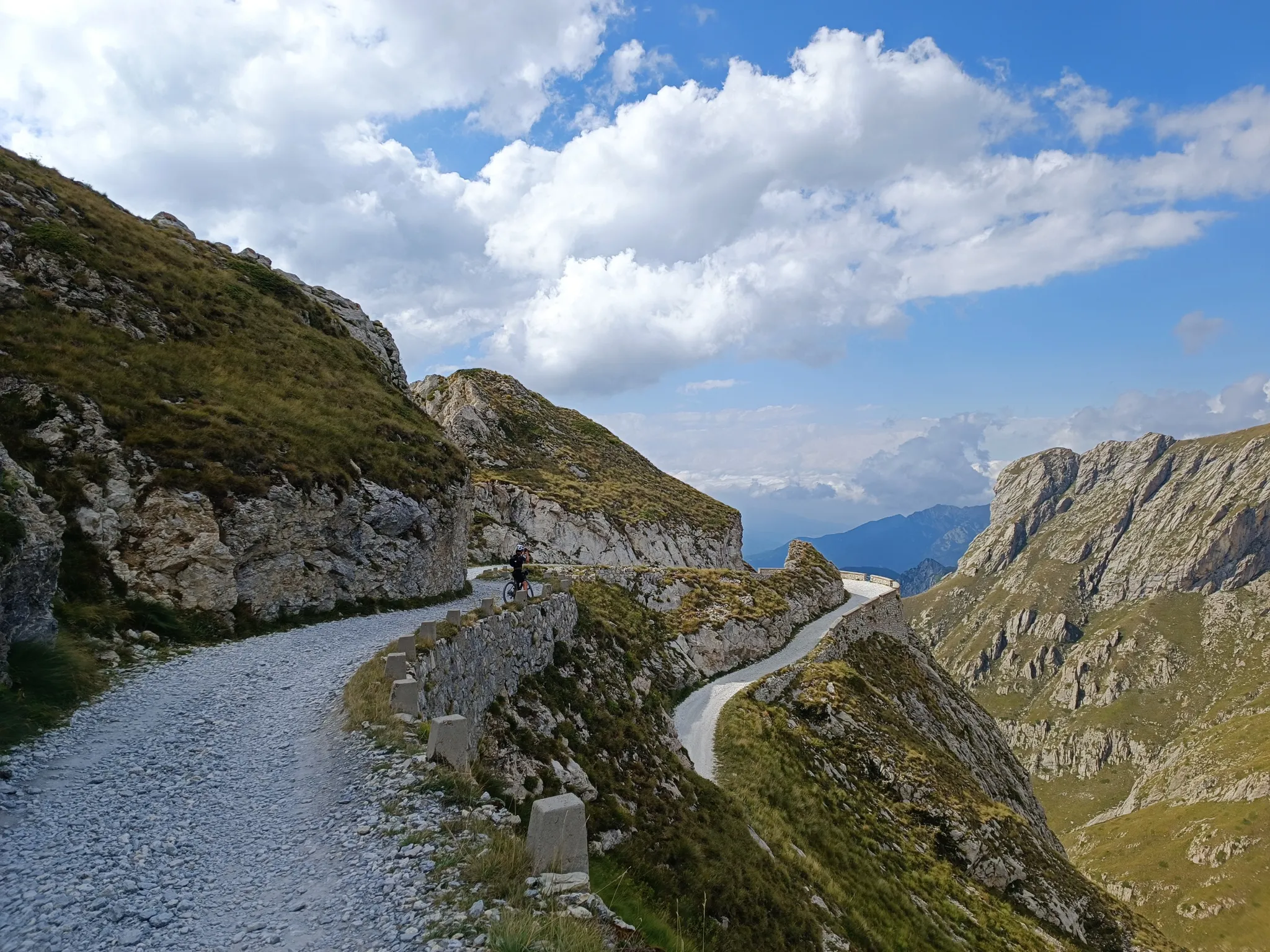
Gravel roads and serpentines – Mediterranean Alps Cycle Route
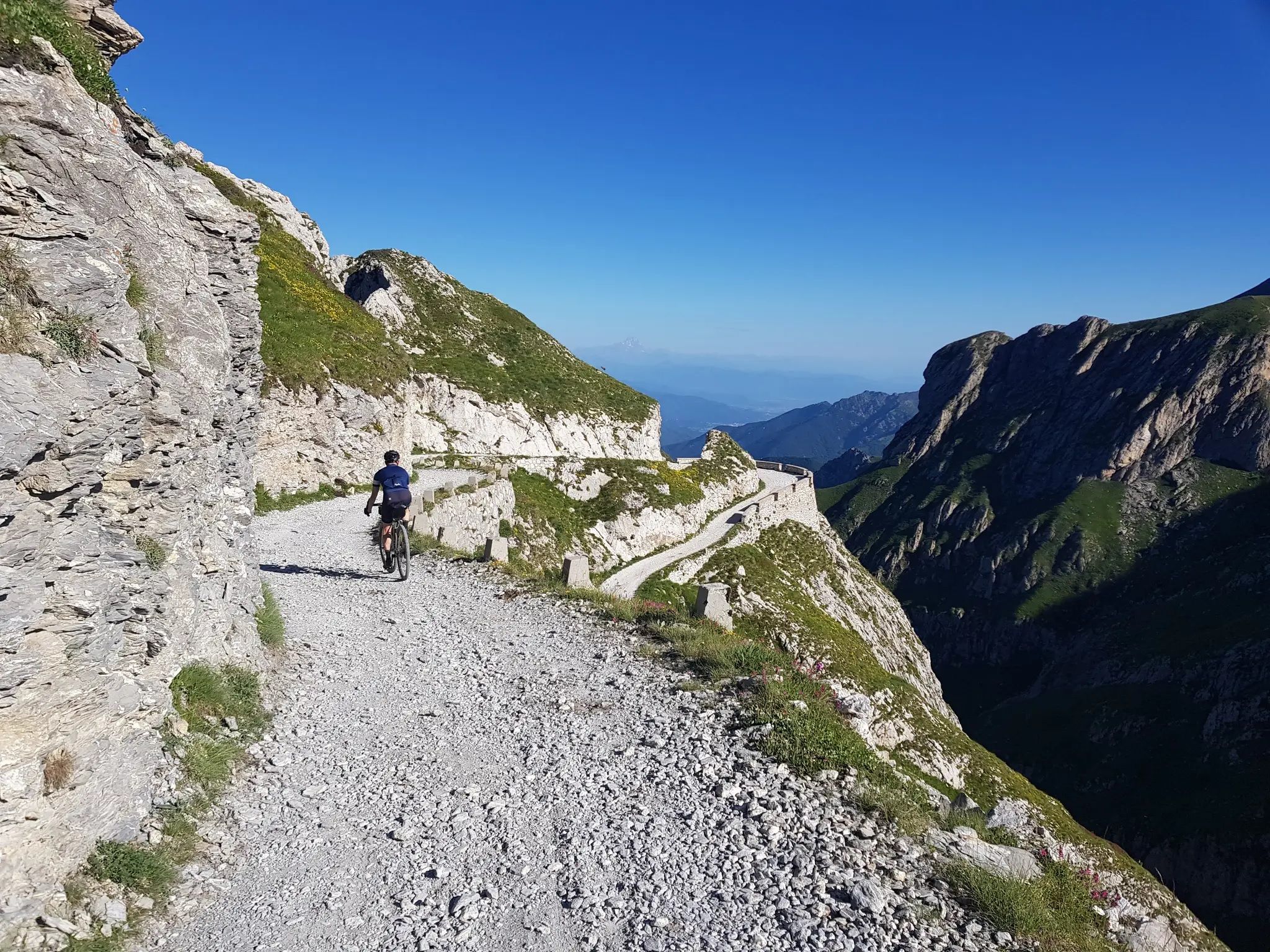
From the boot’s toe to the heel – the most beautiful cycling Tours in Italy
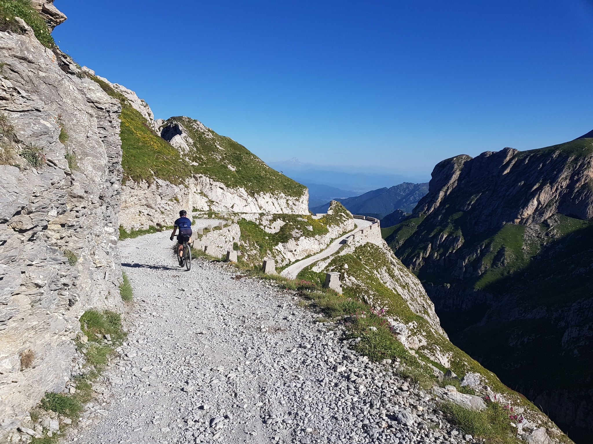
Mediterranean passes and gentle hills — cycling in Piedmont
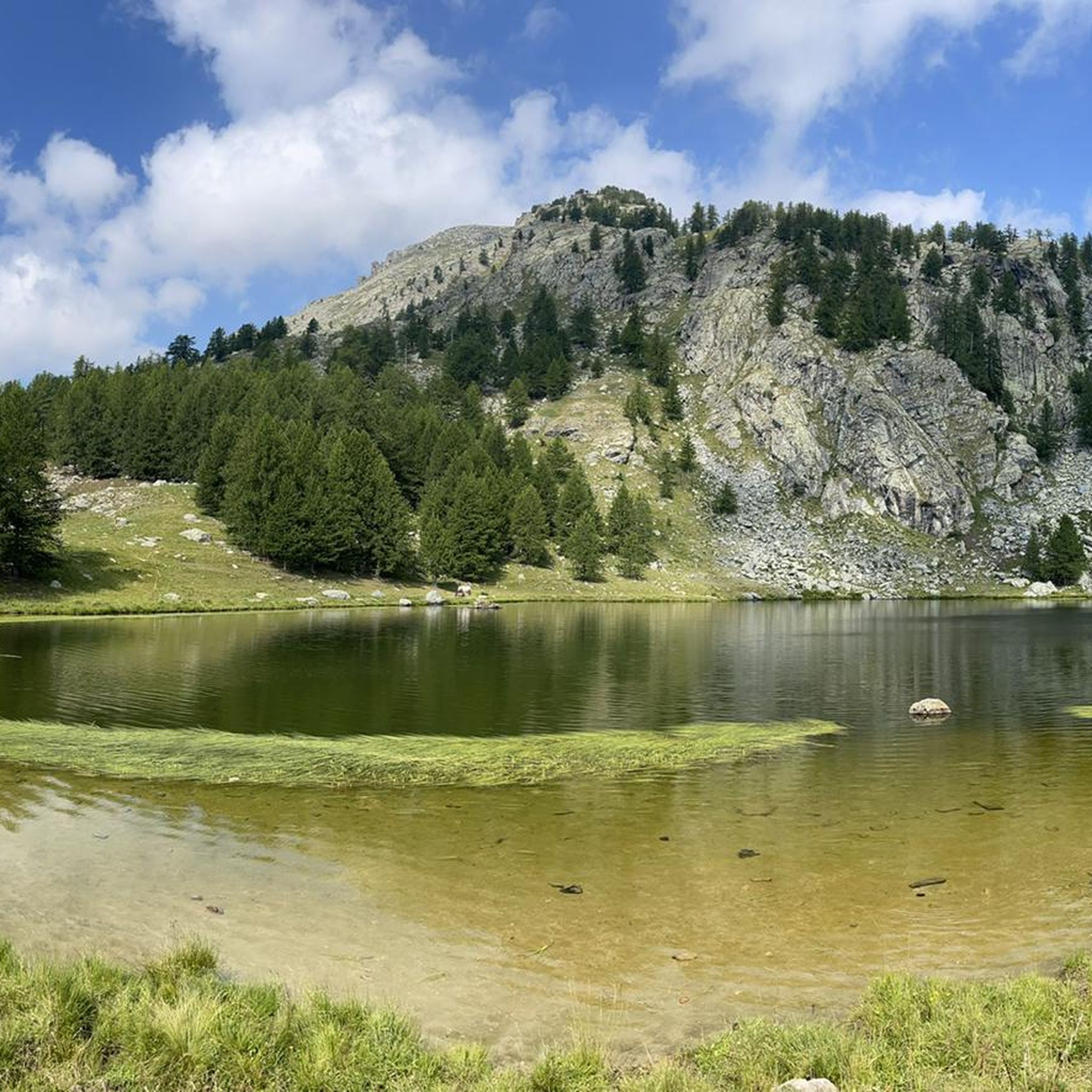
MTB Trails around Tende
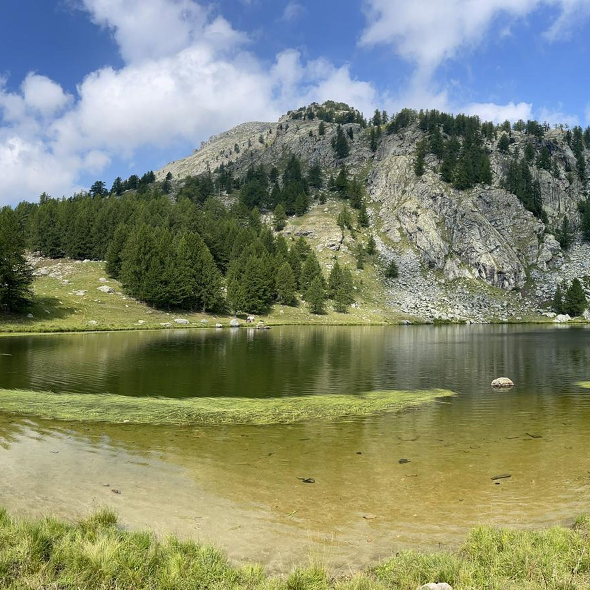
Cycling around Tende
Other adventures around Tende


Tips from the Community

Unmissable stop every year. They are kind and you feel great. Book in advance because it is a very popular crossroads.
0
0

Bivouac in a very scenic position along the ridge that connects the Fronté to the Saccarello, in a strategic position for treks that climb from the sea to the Alps
0
0
Refuge-hotel located in a very panoramic position
0
0

Beautiful, steep, but the view is worth the effort, you can spot eagles.... The last stretch of the path is very rocky and narrow, so be careful ⚠️
1
0

Starting October 1, 2023, reservations for the Sanremo Refuge will be managed remotely using the Bivypass system, accessible at www.parks.it/rif/sanremo. Once your reservation is complete and payment is made, the system will send you a numeric code valid for one day that will open the refuge's entrance door. Guests are kindly requested to complete the attached file with their contact information and send it to inforifugio@caisanremo.it. ATTENDANCES-RIF-SANREMO For clarifications or information, please contact the following numbers: Riccardo: +39 3474031293 Alberto: +39 3272274813 or write to the dedicated email address inforifugio@caisanremo.it
0
0

On the descent near the tunnel, I found a landslide, by bike it was passable, but by car no.
0
0

Bookable online by sending the access code via email. 24 beds.
0
0

https://youtu.be/rm1T5izm57A?si=Wjv8z7eOzrlJQNXL A wonderful, shimmering green lake, which the locals also like to swim in. There are certainly a lot of cars parked along the road on weekends. The scenery is fantastic.
0
0
Frequently Asked Questions
How many hiking trails are available around Tende?
Tende offers a wide variety of hiking opportunities, with over 90 trails recorded on komoot. These range from easy strolls to challenging multi-day treks, catering to different skill levels and preferences.
What is the best time of year to hike in Tende?
The best time to hike in Tende is generally from late spring to early autumn (May to October) when the weather is mild and most trails are free of snow. Summer offers warmer temperatures, while spring and autumn provide vibrant colors and fewer crowds. High-altitude trails, especially in Mercantour National Park, may have snow well into early summer.
What kind of terrain can I expect on Tende's hiking trails?
The terrain around Tende is incredibly diverse, transitioning from alpine environments to areas with Mediterranean influences. You'll encounter high mountain peaks, deep glacial valleys like the Vallée des Merveilles and Fontanalba, dense forests, and rocky ridges. Many trails also feature historical fortifications and ancient rock engravings.
Are there easy hiking options for beginners or those seeking a relaxed walk?
Yes, while Tende is known for its challenging alpine routes, there are also easier options. For instance, shorter sections of the historic 'Via del Sale' offer less strenuous paths, and some trails around the village itself provide gentler inclines with rewarding views, such as the climb to the Chapel of Saint-Sauveur.
Can I explore historical sites while hiking in Tende?
Absolutely. Tende is rich in history, particularly around the Col de Tende, where you can explore 19th-century border forts. Trails like the Forts Circuit Trail offer a chance to discover these structures while enjoying panoramic Franco-Italian alpine vistas. The The forts of Colle di Tenda – loop tour is another excellent option for history enthusiasts.
Are there any trails that feature waterfalls or lakes?
Yes, the region boasts beautiful natural water features. The Vallée des Merveilles and Fontanalba Valley are particularly known for their numerous alpine lakes, including Lac des Grenouilles, Lac Vert, and Lac Jumeaux. You can also find waterfalls like the Saut Waterfalls and Waterfall Gias Fontana, often accessible via dedicated trails.
Are there family-friendly hiking trails in Tende?
Tende offers some trails suitable for families, especially those with older children. While many routes can be challenging, shorter, well-maintained paths around the valleys or near the village can be enjoyed by families. Always check the difficulty and length of a trail to ensure it's appropriate for your family's fitness level.
Are dogs allowed on hiking trails in Tende?
Rules for dogs vary by location. Within the Mercantour National Park, which Tende borders, dogs are generally not permitted on trails, even on a leash, to protect wildlife. However, there may be trails outside the national park boundaries where dogs are allowed. It's always best to check specific trail regulations before heading out with your dog.
Where can I park when starting a hike in Tende?
Parking is available at various trailheads around Tende. For trails leading into the Mercantour National Park, such as those towards the Vallée des Merveilles, designated parking areas exist, for example, near Lac des Mesches. For routes around the Col de Tende forts, parking can be found near the pass itself. It's advisable to check specific trailhead information for parking details.
What unique natural features can I discover in the Tende area?
Beyond its stunning alpine scenery, Tende is famous for the prehistoric rock engravings found in the Vallée des Merveilles and Fontanalba Valley. These valleys offer a unique blend of natural beauty and archaeological discovery, with over 35,000 petroglyphs. Hikers might also spot local wildlife such as marmots and antelopes.
What do other hikers enjoy most about hiking in Tende?
The hiking trails around Tende are highly rated by the komoot community, with an average score of 4.6 stars from over 700 reviews. Hikers frequently praise the dramatic alpine landscapes, the historical forts, and the unique experience of exploring ancient rock engravings in the Vallée des Merveilles. The diversity of trails, from challenging mountain ascents to serene lake paths, is also a major draw.
Most popular attractions around Tende

Get inspired with the komoot mobile app


Explore more
Browse the best Hikes in other regions.
