The best MTB trails around Saint-Léger-Sur-Sarthe
4.3
(11)
128
riders
11
rides
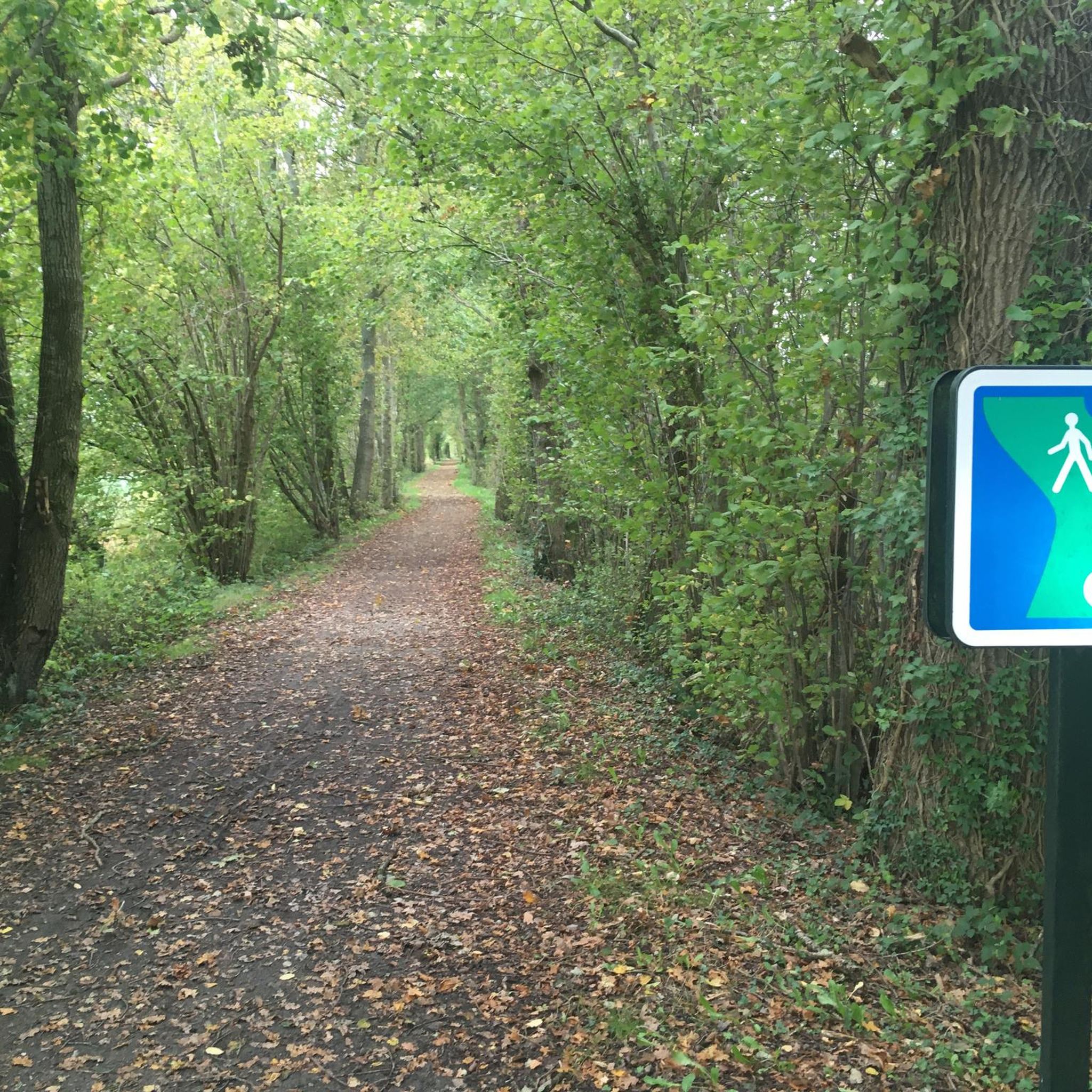
Mountain biking around Saint-Léger-Sur-Sarthe is characterized by its gentle topography within the Sarthe River valley, offering varied terrain for cyclists. The region features a mix of forested areas, including parts of the Normandy-Maine Regional Nature Park, and dedicated greenways. These natural features provide a network of paths suitable for mountain biking, ranging from dirt tracks to shaded forest trails. The area's relief, with slight elevations overlooking the river, makes it accessible for different activity levels.
Best mountain bike trails around…
Last updated: July 9, 2026
4.0
(1)
12
riders
Moderate mountain bike ride. Good fitness required. Suitable for all skill levels.
5.0
(1)
9
riders
27.7km
02:25
510m
510m
Moderate mountain bike ride. Good fitness required. Suitable for all skill levels.

Sign up for free
4.0
(3)
7
riders
22.3km
02:09
460m
460m
Moderate mountain bike ride. Good fitness required. Suitable for all skill levels.
3
riders
22.6km
01:54
420m
420m
Moderate mountain bike ride. Good fitness required. Suitable for all skill levels.
4.0
(1)
2
riders
22.2km
01:52
390m
390m
Moderate mountain bike ride. Good fitness required. Suitable for all skill levels.
Get access to more routes and recommendations from other explorers.
Sign up for free
Already have an account?
Our route recommendations are based on thousands of hikes, rides, and runs completed by other people on komoot.
Start today with a free account
Your next adventure awaits.
Login or Signup


Tips from the Community

Beautiful climb north of Sarthe
0
0

A must-have that is earned by the strength of the calves. But the climb is in a beautiful wooded environment with the gentle field of birds.
0
0

This 30 meter high tower allows you to admire the canopy of the 5,000 hectare forest in which it is located. The plain of Alençon is also visible there. On the site, it is possible to play molki and badminton or to rent bicycles thanks to the equipment provided. The belvedere opening dates and times are available on the following website: https://www.sarthetourisme.com/patrimoine-culturel/belvedere-de-perseigne/
0
0

Located in the heart of the Perseigne forest, at a height of 30 meters, the Belvedere is built on the highest point of the Sarthe department, at 340 m. It is certainly not an architectural model, but the large surrounding trees hide this large concrete tube, repainted and decorated in order to better integrate. Thus, you have to go a few meters into the forest from the road to see it. It should be noted that this high point and its panoramic view had already been spotted by the occupying troops: in 1943, the German army had set up a listening post there, and an observatory against Allied aviation. Nothing remains today. The new tower dates from 1964.
0
0

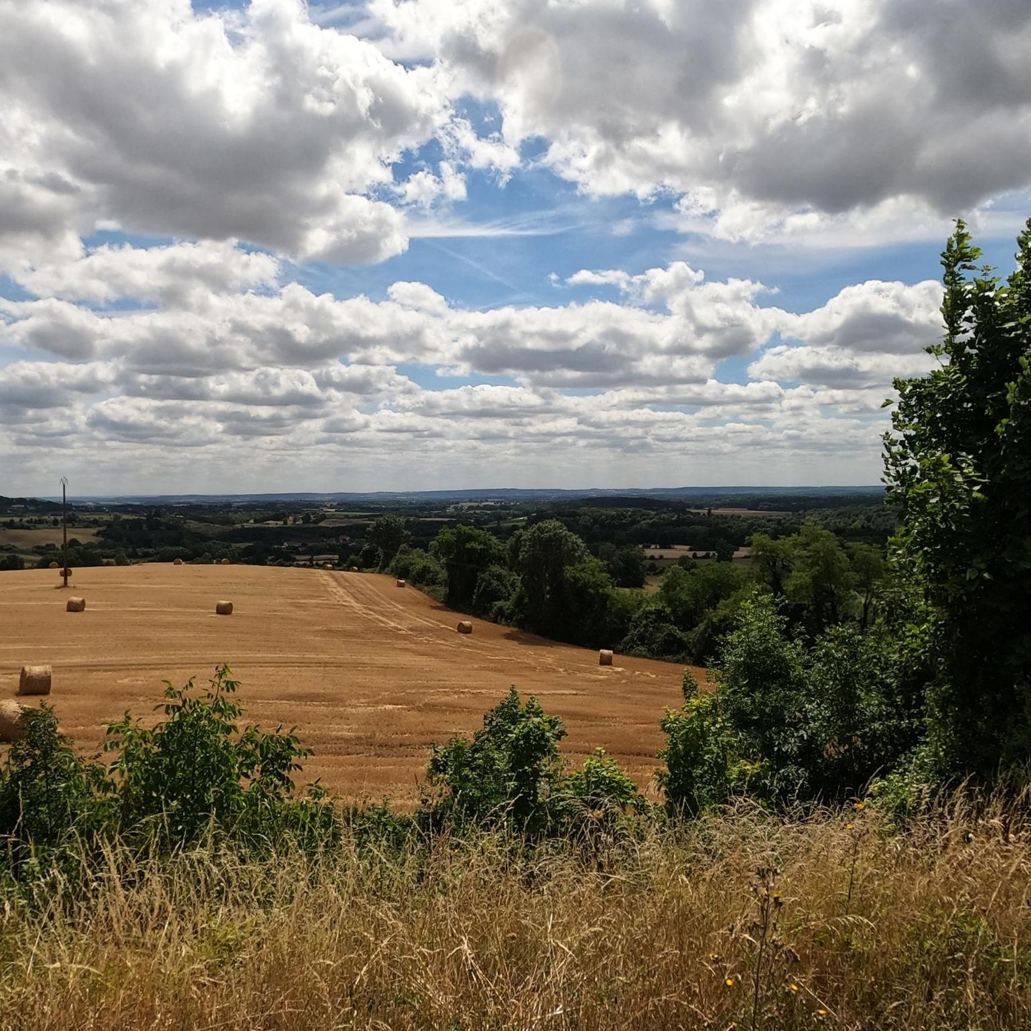
The Belvédère de Perseigne is located at the top of the Perseigne forest. From the top of its 340 meters, this belvedere represents the highest point of the Sarthe! It therefore undoubtedly offers a magnificent view of the Sartois as well as the Oregon landscape.
1
0
Frequently Asked Questions
How many mountain bike trails are available around Saint-Léger-Sur-Sarthe?
There are 9 mountain bike trails available around Saint-Léger-Sur-Sarthe. These routes offer a variety of experiences, from easy rides to more moderate challenges.
What kind of terrain can I expect on mountain bike trails in this region?
The terrain around Saint-Léger-Sur-Sarthe is characterized by its gentle topography within the Sarthe River valley. You'll find a mix of forested areas, including parts of the Normandy-Maine Regional Nature Park, and dedicated greenways. Trails range from dirt tracks to shaded forest paths, with slight elevations overlooking the river.
Are there mountain bike trails suitable for beginners or families?
Yes, the region offers trails suitable for various activity levels. There are 3 easy mountain bike routes available, perfect for beginners or families looking for a relaxed ride. These often follow the region's greenways, which are built on disused railway lines and offer flat, firm gravel surfaces.
Are there any trails with significant elevation gain or challenging climbs?
While the region is known for its gentle relief, some trails do offer moderate climbs. For example, the Gentle Green Ascent – Perseigne Viewpoint loop from La Fresnaye-sur-Chédouet includes a steady climb towards the Perseigne Viewpoint, with an elevation gain of over 450 meters.
What are some notable natural features or viewpoints I can see while mountain biking?
Many trails offer scenic views, particularly from the Perseigne Viewpoint, which provides panoramic vistas of the surrounding landscape. The region also features the picturesque Sarthe River valley and extensive forested areas like the Forest of Bercé and the Normandy-Maine Regional Nature Park.
Are there any loop trails for mountain biking in the area?
Yes, several popular mountain bike routes are loops. Examples include the Perseigne Viewpoint loop from Louzes and the Perseigne Viewpoint loop from Aillières-Beauvoir, both offering circular routes through varied terrain.
What do other mountain bikers enjoy most about mountain biking in Saint-Léger-Sur-Sarthe?
The area is highly rated by the komoot community, with an average score of 4.4 stars from around 10 reviews. Reviewers often praise the varied terrain, the peaceful forested landscapes, and the accessibility of routes for different skill levels.
Are there any specific greenways or cycling paths suitable for mountain bikes?
Yes, the region is home to the "Voie verte de La Mêle-sur-Sarthe à Alençon" and "Voie verte 2." These greenways, built on disused railway lines, offer flat, firm gravel surfaces, providing pleasant and shaded rides that are ideal for mountain bikers seeking less technical, scenic routes. You can find more details about the Greenway from La Mele-sur-Sarthe to Alencon.
What is the best time of year to go mountain biking in Saint-Léger-Sur-Sarthe?
The gentle relief and forested areas make mountain biking enjoyable throughout much of the year. Spring and autumn offer pleasant temperatures and beautiful scenery, while shaded forest paths provide relief during warmer summer months. Winter riding is also possible, though conditions may vary.
Are there any other attractions or points of interest near the mountain bike trails?
Beyond the trails, you can explore the Mêlois Country Lake, which is a great spot for walks and observing local wildlife. The region also features historical sites like the feudal mound in Saint-Léger-Sur-Sarthe, which can be integrated into your cycling tours for cultural enrichment.
Where can I find parking for mountain bike trails in Saint-Léger-Sur-Sarthe?
While specific parking areas for each trail are not detailed, many routes start from villages like La Fresnaye-sur-Chédouet, Louzes, or Aillières-Beauvoir, where public parking is typically available. The region also has facilities like the Equipped Picnic Area – Parc naturel régional Normandie-Maine, which may offer parking options.
Most popular routes around Saint-Léger-Sur-Sarthe
Most popular attractions around Saint-Léger-Sur-Sarthe

Get inspired with the komoot mobile app


Explore more
Browse the best MTB trails in other regions.
