The best walks and hikes around Saint-Léger-Sur-Sarthe
4.5
(56)
333
hikers
50
hikes
Hiking around Saint-Léger-Sur-Sarthe offers access to varied landscapes within the Sarthe department and the Normandy-Maine Regional Natural Park. The region is characterized by the winding Sarthe River and its valleys, extensive forests like Bercé and Écouves, and the distinctive "Alpes Mancelles" with their unique relief. These features provide a range of terrain, from tranquil riverbanks to wooded hills and more challenging, rocky areas.
Best hiking trails around Saint-Léger-Sur-Sarthe
- The most popular hiking route is Perseigne Viewpoint loop from La Fresnaye-sur-Chédouet…
Last updated: July 5, 2026
4.7
(3)
53
hikers
Easy hike. Great for any fitness level. Easily-accessible paths. Suitable for all skill levels.
4.3
(3)
17
hikers
Easy hike. Great for any fitness level. Easily-accessible paths. Suitable for all skill levels.

Sign up for free
3.7
(3)
8
hikers
10.6km
02:43
50m
50m
Moderate hike. Good fitness required. Easily-accessible paths. Suitable for all skill levels.
2
hikers
5.03km
01:20
50m
50m
Easy hike. Great for any fitness level. Easily-accessible paths. Suitable for all skill levels.
5.0
(1)
3
hikers
6.79km
01:45
40m
40m
Easy hike. Great for any fitness level. Easily-accessible paths. Suitable for all skill levels.
Get access to more routes and recommendations from other explorers.
Sign up for free
Already have an account?
Our route recommendations are based on thousands of hikes, rides, and runs completed by other people on komoot.
Start today with a free account
Your next adventure awaits.
Login or Signup
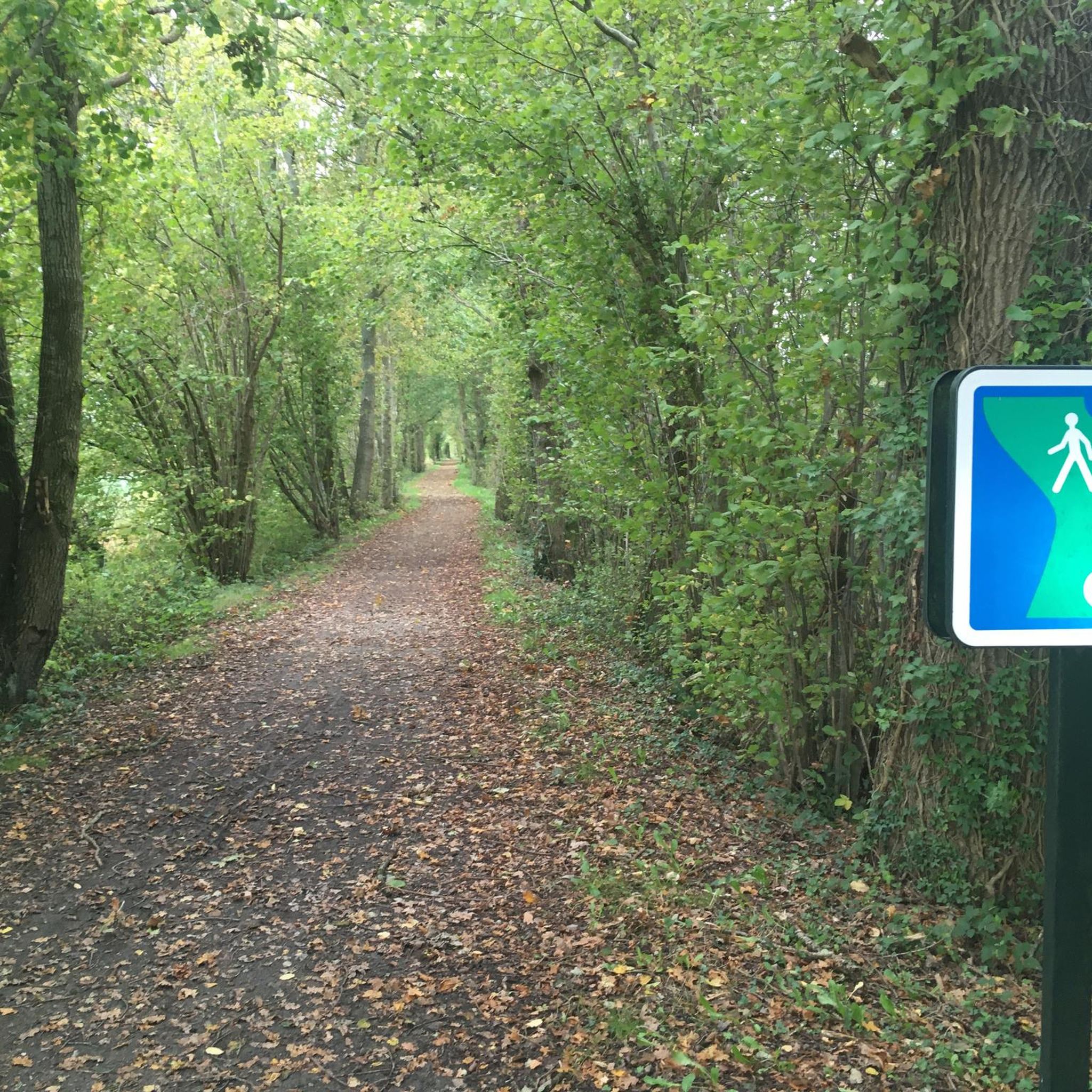
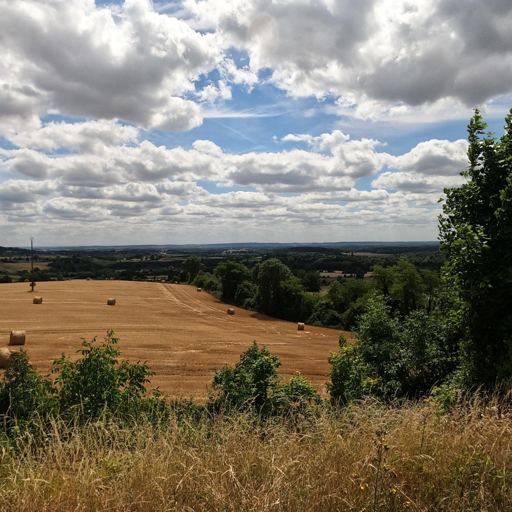


Tips from the Community

beautiful building
3
0
The building was built in 1827 by architect Dominique Devaux and was classified as a historic monument in 1975 Source Wikipedia
8
0
The lake is an ideal place for walking and fishing. During your walk you can also discover the Fauna and Flora of the Lake by downloading the booklet below. Picnic tables (renovated in 2015) and parking are at your disposal.
9
0
Beach and swimming water to cool off in the summer, catering establishments are probably open. Easy parking.
10
0
Frequently Asked Questions
What types of landscapes can I expect to see while hiking around Saint-Léger-Sur-Sarthe?
The region offers a rich variety of landscapes, from the tranquil valleys of the Sarthe River to extensive forests like Bercé and Écouves. You'll also encounter the unique topography of the "Alpes Mancelles," which, despite their name, feature significant relief with steep valleys, hedged farmlands, and rocky, wooded cliffs, providing a distinct "mountain feel" for the area. The trails often lead through rolling landscapes, gentle hills, and colorful meadows within the Normandy-Maine Regional Natural Park.
How many hiking trails are available in Saint-Léger-Sur-Sarthe?
There are over 45 hiking routes available around Saint-Léger-Sur-Sarthe. These include a good mix of easy strolls and more challenging paths, catering to various fitness levels. Specifically, you'll find 27 easy routes, 20 moderate routes, and 1 difficult route.
Are there any easy, family-friendly hiking options?
Yes, there are many easy routes suitable for families. For instance, the Bois de Montperroux loop from La Demi Lune is an easy 5 km (3.1 miles) trail through woodland, taking about 1 hour 20 minutes. Another gentle option is the The beach at Lac du Pais Melois – Mêlois Country Lake loop from Le Mêle-sur-Sarthe, which is just under 3 km (1.7 miles) and explores the area around the lake.
What are some notable natural features or landmarks I can see on a hike?
You can discover several interesting natural features and landmarks. The Perseigne Viewpoint offers spectacular panoramic views of the hedged farmland and peaceful villages. You might also encounter the serene Mêlois Country Lake, which is a focal point for several routes. Additionally, the region is known for its extensive forests and the unique geological formations of the Alpes Mancelles.
Are there any circular hiking routes available?
Yes, many of the trails in the area are circular, allowing you to start and end at the same point. A popular moderate circular route is the Perseigne Viewpoint loop from La Fresnaye-sur-Chédouet, which is 17.7 km (10.9 miles) long. For a shorter, easy option, consider the Mêlois Country Lake – The beach at Lac du Pais Melois loop from Le Mêle-sur-Sarthe.
What do other hikers say about the trails in Saint-Léger-Sur-Sarthe?
The hiking routes in Saint-Léger-Sur-Sarthe are highly rated by the komoot community, with an average score of 4.6 stars from over 40 reviews. Hikers often praise the varied terrain, from tranquil riverbanks to wooded hills, and the well-maintained paths that offer options for different ability levels.
Can I reach hiking trails using public transport?
While Saint-Léger-Sur-Sarthe is primarily accessed by car, some regional bus services might connect to nearby towns. However, direct public transport access to specific trailheads can be limited. It's advisable to check local transport schedules in advance or consider driving to the starting points of your chosen hikes.
Are there specific areas known for challenging hikes with elevation changes?
For more challenging terrain, focus on the "Alpes Mancelles" region. Despite not being high mountains, this area features significant and varied relief, including steep valleys and rocky cliffs, offering elevation changes that are almost unique for the region. The Perseigne Viewpoint loop from La Fresnaye-sur-Chédouet, for example, includes over 340 meters of elevation gain.
What is the best time of year to go hiking in Saint-Léger-Sur-Sarthe?
The region is enjoyable for hiking throughout much of the year. Spring and autumn offer pleasant temperatures and beautiful scenery, with blooming wildflowers or vibrant fall foliage. Summer is also suitable, especially for shaded forest trails, but be prepared for warmer weather. Winter hikes can be serene, though some paths might be muddy or require appropriate gear.
Are there any greenways or accessible paths for easier walks?
Yes, for easier and more accessible outdoor experiences, the "Voie verte de La Mêle-sur-Sarthe à Alençon" is a popular option. This greenway follows an old railway line, offering a flat, shaded path ideal for walking or cycling. You can find a section of this at the Greenway from La Mele-sur-Sarthe to Alencon highlight.
Are dogs allowed on the hiking trails?
Generally, dogs are welcome on many hiking trails in the Saint-Léger-Sur-Sarthe area, especially in the forests and along river paths. However, it's always recommended to keep them on a leash, especially in nature reserves, agricultural areas, or where wildlife is present. Please be mindful of local regulations and signage.
Where can I find parking near hiking trailheads?
Parking is typically available at or near the starting points of many popular hiking trails and in the villages. For routes around the Mêlois Country Lake, you'll often find designated parking areas. When planning your hike, check the specific route details on komoot for information on parking facilities at the trailhead.
What kind of wildlife might I encounter on the trails?
The diverse landscapes of the Sarthe department and the Normandy-Maine Regional Natural Park are home to various flora and fauna. In the extensive forests like Bercé and Écouves, you might spot deer, wild boar, and a variety of bird species. Along the Sarthe River, look out for waterfowl and other aquatic life. The Sensitive Natural Areas within the park protect rare plant and animal species.
Most popular routes around Saint-Léger-Sur-Sarthe
Most popular attractions around Saint-Léger-Sur-Sarthe

Get inspired with the komoot mobile app


Explore more
Browse the best Hikes in other regions.
