The best mountain hikes around La Bâtie-Vieille
5.0
(1)
13
hikers
2
hikes
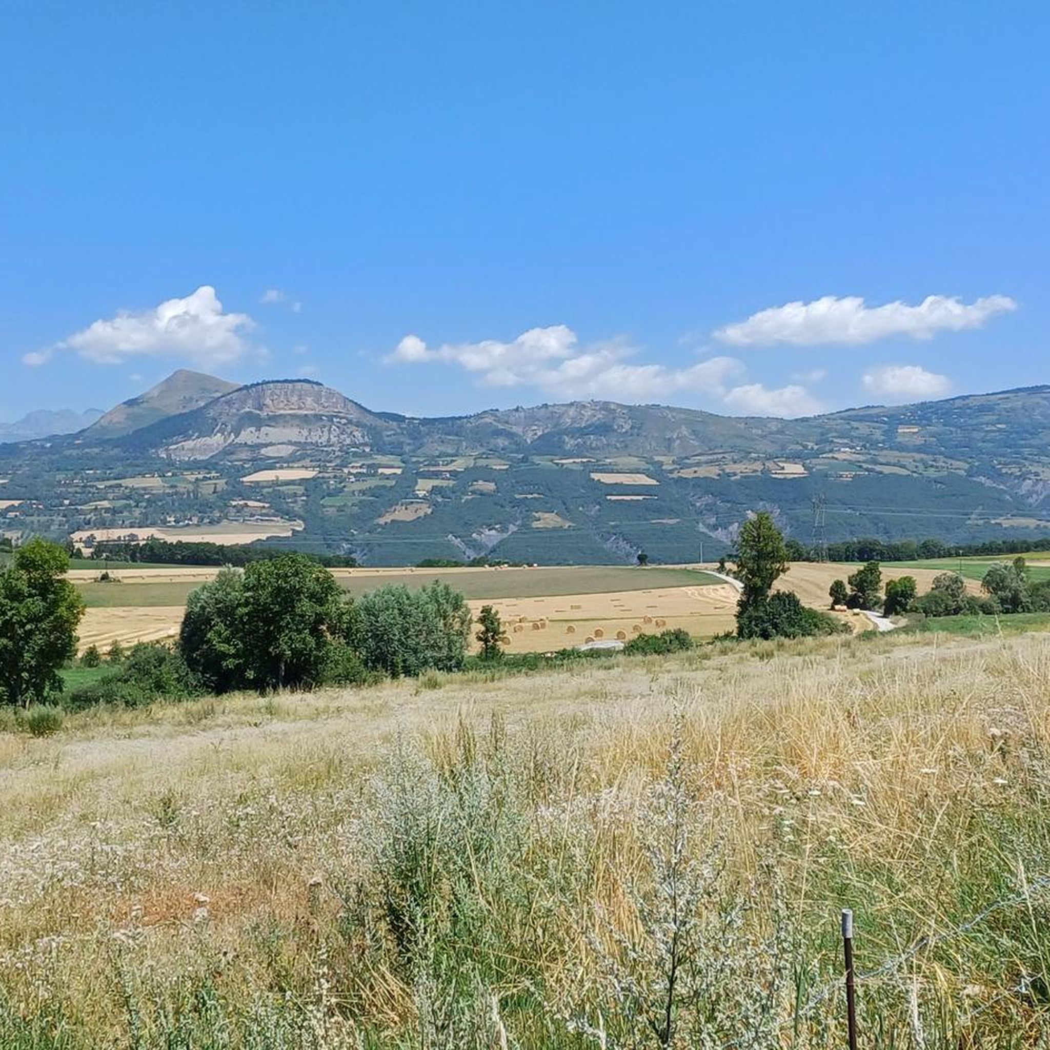
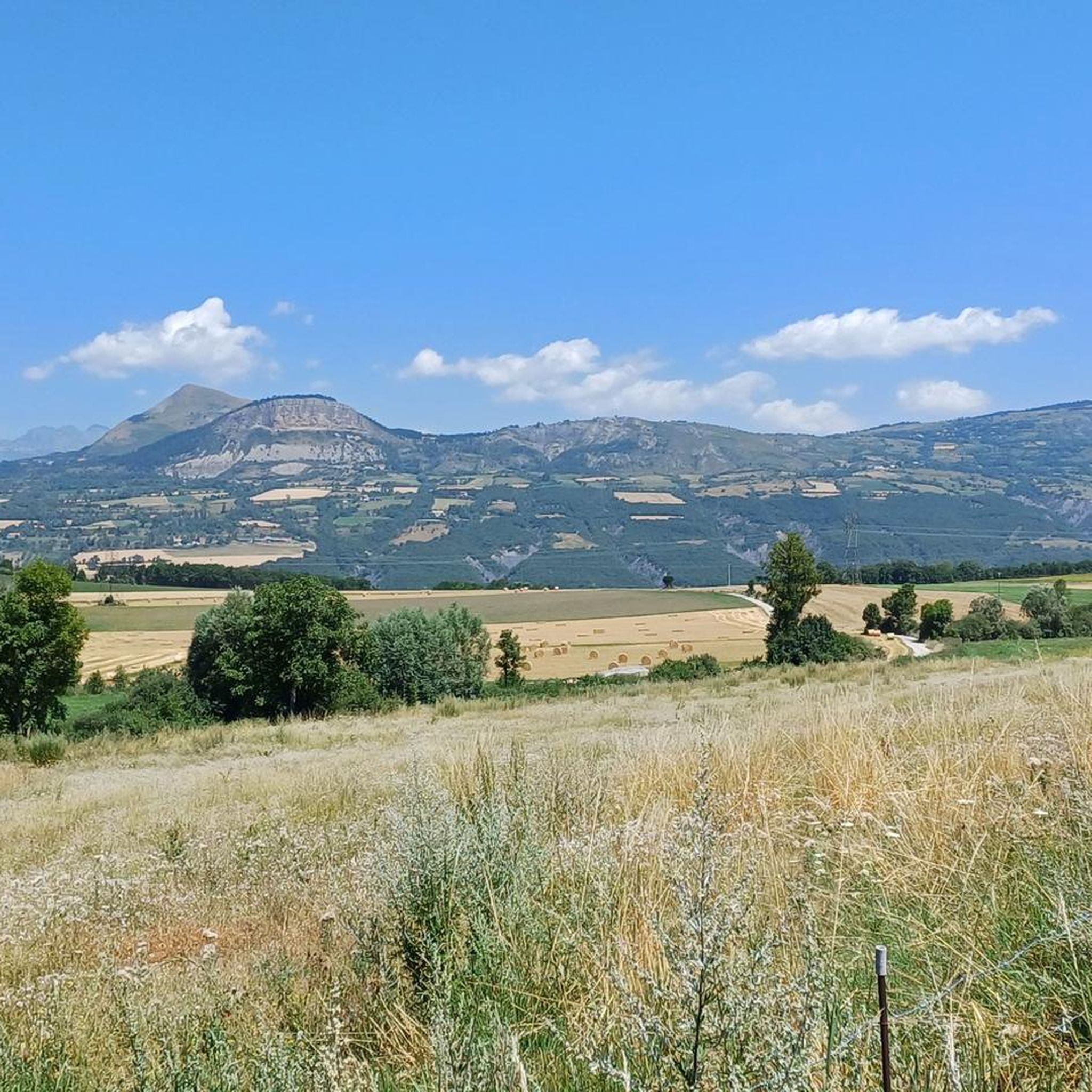
Mountaineering routes around La Bâtie-Vieille are situated in the Hautes-Alpes department of southeastern France, characterized by a medium-mountain zone with elevations ranging from 798 to 1,152 meters. The landscape offers panoramic views of the Champsaur and Gapençais peaks, with approximately 40% forest cover. This region provides diverse terrain, including numerous mountain passes like Col de Gleize, suitable for ascents and strenuous mountain hikes.
Best mountaineering routes around La Bâtie-Vieille
- The most popular mountaineering route is Pic de Charance – La…
Last updated: June 26, 2026
5.0
(1)
8
hikers
9.08km
03:54
800m
800m
Moderate mountaineering route. Good fitness required. Easily-accessible paths. Suitable for all skill levels.
2
hikers
9.20km
03:24
570m
570m
Hard mountaineering route. Good fitness required. Sure-footedness, sturdy shoes and alpine experience required.

Sign up for free
2
hikers
12.8km
04:58
860m
860m
Moderate mountaineering route. Good fitness required. Easily-accessible paths. Suitable for all skill levels.
1
hikers
11.0km
04:20
780m
780m
Moderate mountaineering route. Good fitness required. Easily-accessible paths. Suitable for all skill levels.
Our route recommendations are based on thousands of hikes, rides, and runs completed by other people on komoot.
Start today with a free account
Your next adventure awaits.
Login or Signup

Tips from the Community

Very quiet but (http://rosetoy.cam/) extremely effective.
0
0

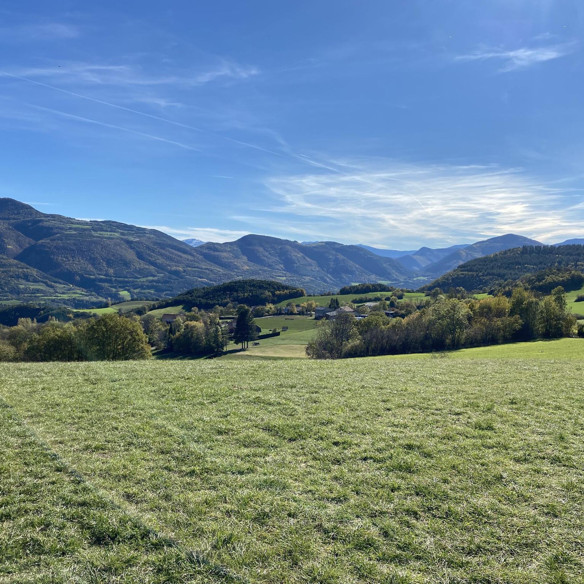
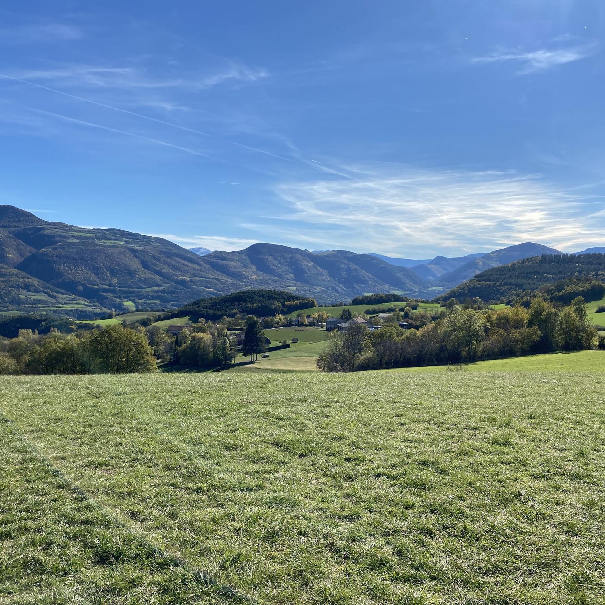
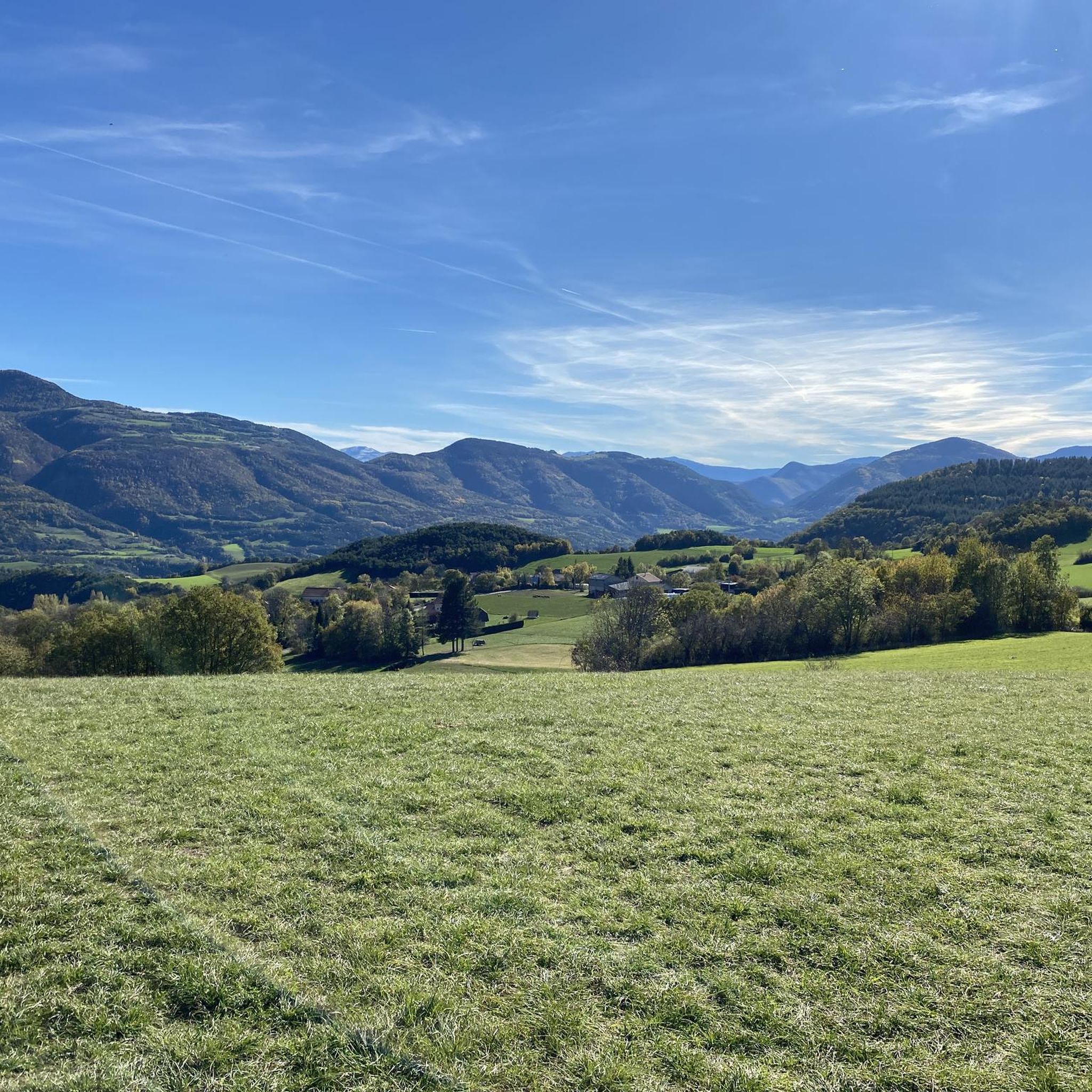
It is one of the highest bocages in Europe. These landscapes are typical in France, but this one is one of the best preserved. It has a superb network of beech hedges, crops, meadows and woods which attracts beautiful biodiversity and many birds.
0
0
The Col de Gleize car park is located next to a designated picnic area. It is the starting point for many hiking trails that intersect here.
0
0

This path borders the Gap canal. The Gap canal collects water from the Drac in Haut-Champsaur and brings it to the Gapençais basin, where it is mainly used to supply the town of Gap with drinking water. The walk along the water reveals beautiful views of the surrounding landscapes.
0
0

For a great picnic with a 360° view of breathtaking landscapes: meet at Pic Chaudun 🌟
0
0

It is accessible by car via a pretty narrow road and has parking as it is the starting point for many trails.
1
0

A pretty garden in the Charance estate with roses, a waterfall and beautiful paths.
0
0
The Pic de Charance is 1,825 meters above sea level. From the summit, marked with a cross, there are exceptional views of the town of Gap, the Durance valley and the peak of Bure.
1
0
Frequently Asked Questions
How many mountaineering routes are available around La Bâtie-Vieille?
There are several mountaineering routes around La Bâtie-Vieille, with komoot currently featuring 3 distinct tours. These routes offer diverse experiences, from moderate to difficult ascents, exploring the varied terrain of the Hautes-Alpes.
Are there any circular mountaineering routes in the area?
Yes, many of the mountaineering routes around La Bâtie-Vieille are designed as loops, allowing you to start and finish at the same point. For example, the Pic de Charance – La Brèche de Charance loop from Gap is a popular circular option, as is the Summit without a cross loop from Col de Gleize.
What kind of challenges can I expect on mountaineering routes near La Bâtie-Vieille?
Mountaineering routes near La Bâtie-Vieille range from moderate to difficult. You can expect significant elevation gains, varied terrain including forested slopes, and ascents to high mountain passes. Routes like the Summit without a cross loop from Col de Gleize are rated as difficult, offering challenging climbs and expansive views.
What natural attractions can I discover along the mountaineering routes?
The region offers stunning natural beauty. You can enjoy panoramic views of the Champsaur and Gapençais peaks. Many routes provide access to notable mountain passes such as Col de Moissière (1573 m), Col de Gleize (1691 m), and Col de Manse. The area is also close to Lake Serre-Ponçon, with highlights like the View of Lac de Serre-Ponçon from Mont Colombis.
Are there any routes suitable for beginners or those seeking an easier mountaineering experience?
While the routes around La Bâtie-Vieille are generally rated moderate to difficult, some moderate options exist that could be suitable for well-prepared beginners or those looking for a less strenuous experience. The Pic de Charance – La Brèche de Charance loop from Gap is a moderate route, though it still features significant elevation gain.
What is the best time of year for mountaineering in La Bâtie-Vieille?
The Hautes-Alpes region, where La Bâtie-Vieille is located, is best explored for mountaineering during the warmer months, typically from late spring to early autumn. This period offers more stable weather conditions and accessible trails. Always check local weather forecasts before heading out, as mountain conditions can change rapidly.
What do other mountaineers enjoy the most about mountaineering in La Bâtie-Vieille?
The area is highly rated by the komoot community, with an average score of 5.0 stars. Mountaineers often praise the diverse terrain, the panoramic 360-degree views of the Champsaur and Gapençais peaks, and the challenging yet rewarding ascents to prominent features like Pic de Charance and various mountain passes.
Are there any specific peaks or viewpoints I should aim for?
Absolutely. The region offers stunning vistas. You might consider routes that lead to Pic de Charance, or those offering views of peaks like Pic de Gleize, Montagne de Charance, Vieux Chaillol, Piolit, and Aiguilles de Chabrières. The Écluse d'Oeuf – Pic de Charance loop from Gap is a great option for reaching Pic de Charance.
Can I find routes that are dog-friendly?
While specific restrictions can vary, many trails in the Hautes-Alpes are generally accessible for dogs, especially if kept on a leash. It's always advisable to check local regulations for specific routes or protected areas before you go. Ensure your dog is fit for the terrain and carry enough water for both of you.
Are there any options for longer, more strenuous mountaineering tours?
Yes, for those seeking longer and more strenuous tours, routes like the Écluse d'Oeuf – Pic de Charance loop from Gap, at 7.6 miles (12.3 km) with significant elevation, provide a substantial challenge. The region's diverse terrain and numerous passes allow for extended exploration and demanding ascents.
What kind of terrain defines mountaineering in La Bâtie-Vieille?
Mountaineering in La Bâtie-Vieille is characterized by a medium-mountain zone featuring elevations between 798 and 1,152 meters. You'll encounter a mix of forested slopes, open mountain terrain, and numerous mountain passes. The landscape provides panoramic views and diverse conditions suitable for strenuous mountain hikes.
Most popular routes around La Bâtie-Vieille
Most popular attractions around La Bâtie-Vieille

Get inspired with the komoot mobile app


Explore more
Browse the best Mountain Hikes & Routes in other regions.
