The best road cycling routes around La Bâtie-Vieille
4.6
(297)
9,081
riders
177
rides
Road cycling routes around La Bâtie-Vieille are situated in the Hautes-Alpes department, offering a diverse landscape for cyclists. The region features a middle mountain zone with altitudes ranging from 798m to over 1152m, alongside a plateau between 850m and 1000m. This area provides a mix of ascents and descents, connecting to an extensive network of roads suitable for various skill levels. Cyclists can access demanding mountain passes and alpine valleys, with over 40% of the commune covered by woods and…
Last updated: June 30, 2026
27
riders
60.7km
03:48
1,620m
1,610m
Hard road ride. Very good fitness required. Mostly well-paved surfaces and easy to ride.
4.5
(10)
141
riders
37.5km
02:12
880m
880m
Moderate road ride. Good fitness required. Mostly well-paved surfaces and easy to ride.

Sign up for free
4.4
(10)
95
riders
44.8km
02:37
830m
830m
Moderate road ride. Good fitness required. Mostly well-paved surfaces and easy to ride.
5.0
(4)
43
riders
25.5km
01:28
450m
450m
Moderate road ride. Good fitness required. Mostly well-paved surfaces and easy to ride.
5.0
(1)
39
riders
74.9km
03:49
1,210m
1,220m
Hard road ride. Very good fitness required. Mostly well-paved surfaces and easy to ride.
Get access to more routes and recommendations from other explorers.
Sign up for free
Already have an account?
Our route recommendations are based on thousands of hikes, rides, and runs completed by other people on komoot.
Start today with a free account
Your next adventure awaits.
Login or Signup
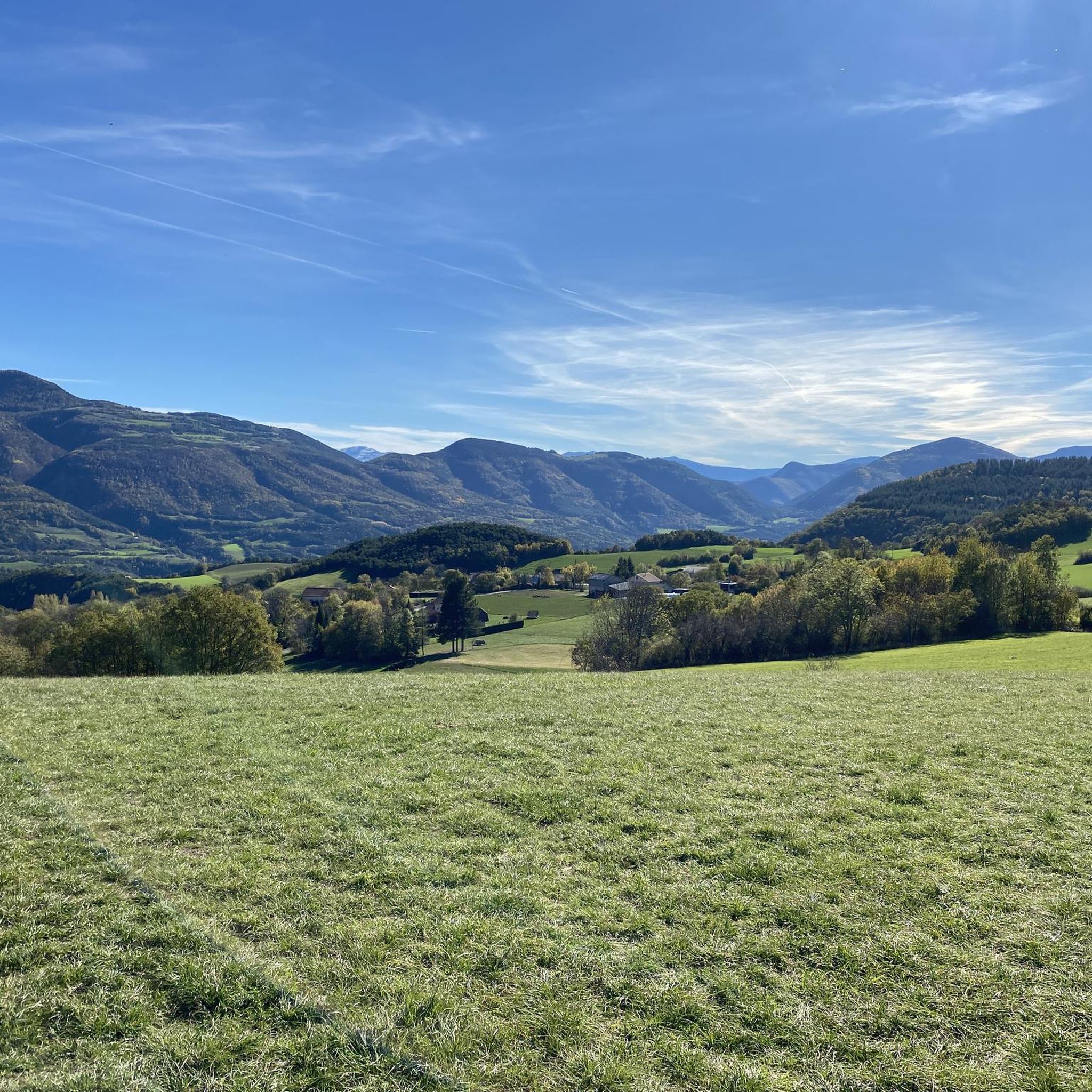
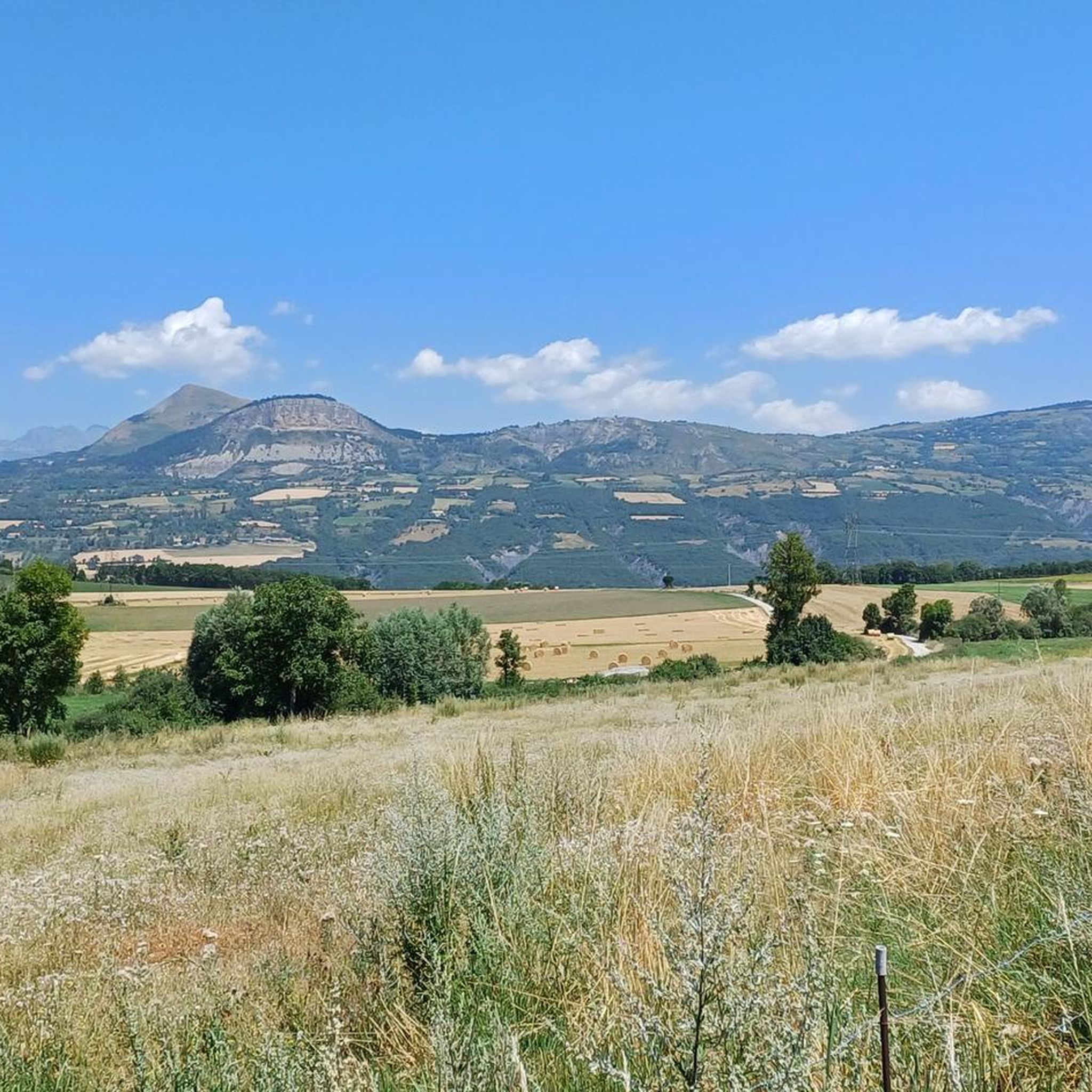

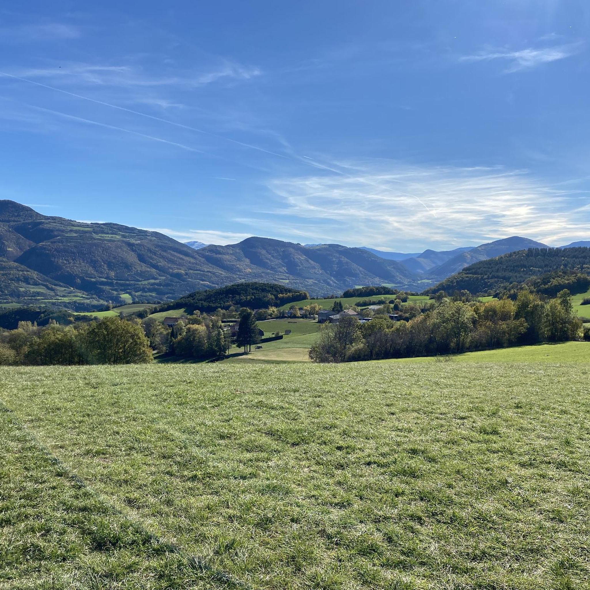
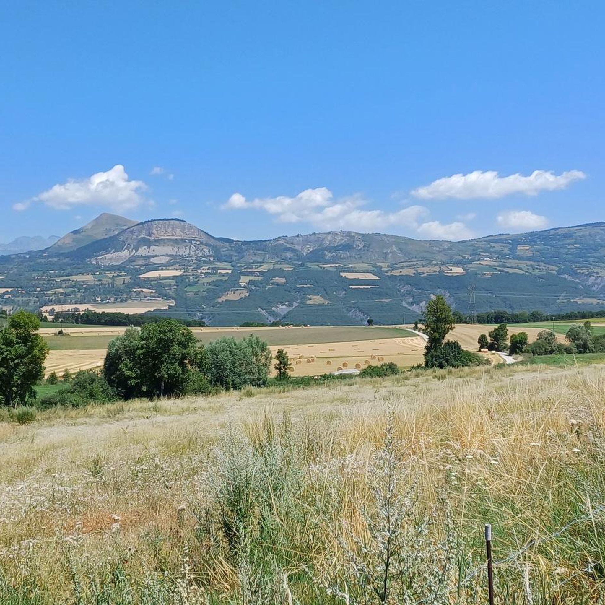

Tips from the Community

You can safely drink the water here.
4
0
Not a very long climb with sections of significant gradients.
2
0
The Col de Foureyssasse from La Saulce is a climb located in the Hautes-Alpes region. This climb is 7 km long, with a total elevation gain of 461 m. The Col de Foureyssasse from La Saulce has an average gradient of 6.6%.
3
0
The Col de la Sentinelle is a climb located in the Serre Ponçon region. This climb is 7.4 km long, with a total elevation gain of 296 m. The Col de la Sentinelle has an average gradient of 4%.
2
0

Climb over 11% reward at the top
1
0

A pretty pass before heading to Gap
0
0
Frequently Asked Questions
How many road cycling routes are available around La Bâtie-Vieille?
There are over 180 road cycling routes available around La Bâtie-Vieille, offering a wide range of options for different skill levels and preferences.
What is the general difficulty level of road cycling routes in La Bâtie-Vieille?
The routes around La Bâtie-Vieille cater to various skill levels. You'll find a few easy routes, but the majority are moderate (around 94 routes) or difficult (around 85 routes), featuring significant elevation gains and challenging mountain passes typical of the Hautes-Alpes region.
What kind of terrain can I expect on road cycling routes near La Bâtie-Vieille?
The terrain around La Bâtie-Vieille is diverse, characterized by a middle mountain zone with altitudes ranging from 798m to over 1152m, and a plateau between 850m and 1000m. This provides a mix of ascents and descents, peaceful secondary roads, and connections to demanding mountain passes and alpine valleys. Over 40% of the commune is covered by woods and forests, adding to the scenic variety.
Are there challenging road cycling routes for experienced cyclists?
Yes, the Hautes-Alpes region, where La Bâtie-Vieille is located, is renowned for its challenging mountain passes. Routes like the Col du Festre - Integral biological reserve of Bois du Chapitre, which covers 83.4 km with over 1750m of elevation gain, offer a significant test for experienced riders. You can also find routes that lead to iconic cols like the Col du Galibier, Col de Lautaret, and Col d'Izoard, known for their demanding gradients and spectacular views.
What natural features or landmarks can I see while road cycling around La Bâtie-Vieille?
Road cycling routes in the area offer stunning views and access to notable natural features. You can enjoy panoramic views over the Gap basin and surrounding massifs. Many routes are near Lake Serre-Ponçon, a vast reservoir offering picturesque scenery. The historic village of La Bâtie-Vieille itself features a 12th-century tower and a 19th-century church, providing cultural points of interest along your ride.
Are there any circular road cycling routes around La Bâtie-Vieille?
Yes, there are several circular routes available. For example, the Champsaur Bocage Loop is a 60.7 km trail that takes you through the scenic Champsaur region, offering a rewarding circular experience.
What do other road cyclists enjoy the most about road cycling in La Bâtie-Vieille?
The area is highly rated by the komoot community, with an average score of 4.6 stars from over 350 reviews. Cyclists frequently praise the diverse landscapes, the challenging yet rewarding mountain passes, and the peaceful secondary roads that allow for an immersive cycling experience away from heavy traffic.
Can I find routes that offer views of the Gap basin?
Absolutely. Routes like the Gapençais Landscapes Route, a moderate 38.2 km path, specifically offer beautiful views of the Gap basin and the surrounding massifs, including Céüze, Bure, Charance, and Gleize.
Are there specific mountain passes I can cycle to from La Bâtie-Vieille?
Yes, La Bâtie-Vieille's location in the Hautes-Alpes provides access to numerous mountain passes. While some iconic ones like Col du Galibier are further afield, you can find routes that incorporate local passes such as Col de Manse, Col de Gleize (1691 m), and Col de Moissière (1573 m), offering significant climbs and panoramic vistas.
What is the best time of year for road cycling in La Bâtie-Vieille?
The Hautes-Alpes region is generally considered a paradise for cycling enthusiasts, with the warmer months offering the most favorable conditions. Late spring, summer, and early autumn are ideal, as mountain passes are typically clear of snow and the weather is pleasant for long rides. Always check local weather conditions before heading out, especially for higher altitude routes.
Are there any routes that pass by Lake Serre-Ponçon?
While La Bâtie-Vieille is situated near Lake Serre-Ponçon, specific road cycling routes directly along its shores might vary. However, many routes in the broader area will offer stunning views of Lac de Serre-Ponçon from various viewpoints, allowing you to appreciate this vast reservoir surrounded by majestic peaks.
What are some of the longer road cycling routes available?
For those seeking longer distances, routes like the Col du Festre - Integral biological reserve of Bois du Chapitre at 83.4 km, or the Espréaux Pass – View from the foot of the Massif de Céüse loop from Gap at 74.2 km, provide extensive rides with considerable elevation gain, perfect for endurance training or long-day adventures.
Most popular routes around La Bâtie-Vieille
Most popular attractions around La Bâtie-Vieille

Get inspired with the komoot mobile app


Explore more
Browse the best Road cycling routes in other regions.
