The best mountain hikes around Châteauvieux
5.0
(2)
13
hikers
2
hikes
Mountaineering routes around Châteauvieux (Hautes-Alpes) are set within the Southern French Alps, characterized by dramatic alpine landscapes and mountainous terrain. The region is part of the Gapençais area, featuring diverse environments from meadows to formidable snow-capped peaks. Proximity to the Écrins National Natural Park offers a rich environment for experienced mountaineers, with peaks like Charance and Gleiz reaching nearly 2,000 meters. This area provides extensive trail networks suitable for various outdoor pursuits.
Best mountaineering routes around Châteauvieux
- The most popular…
Last updated: July 9, 2026
5.0
(1)
8
hikers
9.08km
03:54
800m
800m
Moderate mountaineering route. Good fitness required. Easily-accessible paths. Suitable for all skill levels.
2
hikers
12.8km
04:58
860m
860m
Moderate mountaineering route. Good fitness required. Easily-accessible paths. Suitable for all skill levels.

Sign up for free
5.0
(1)
2
hikers
6.72km
01:51
110m
110m
Easy mountaineering route. Great for any fitness level. Easily-accessible paths. Suitable for all skill levels.
1
hikers
11.0km
04:20
780m
780m
Moderate mountaineering route. Good fitness required. Easily-accessible paths. Suitable for all skill levels.
Our route recommendations are based on thousands of hikes, rides, and runs completed by other people on komoot.
Start today with a free account
Your next adventure awaits.
Login or Signup
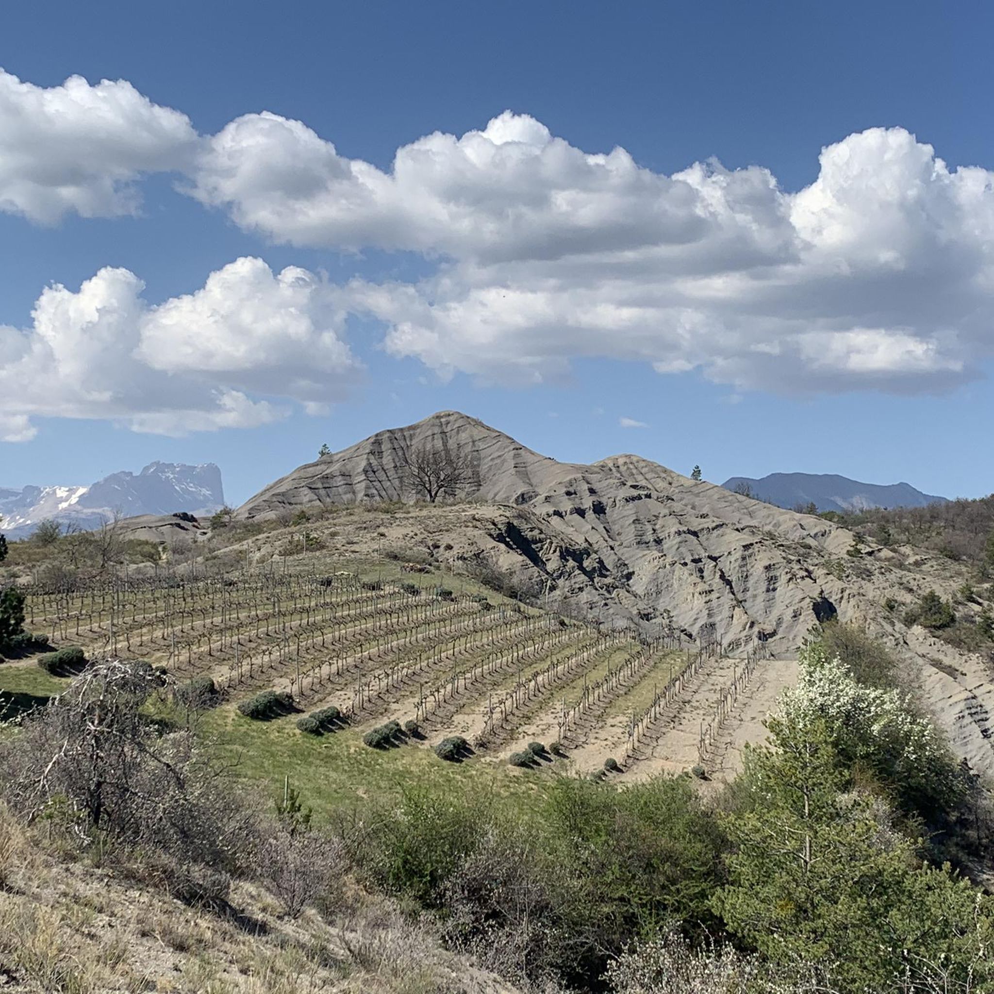
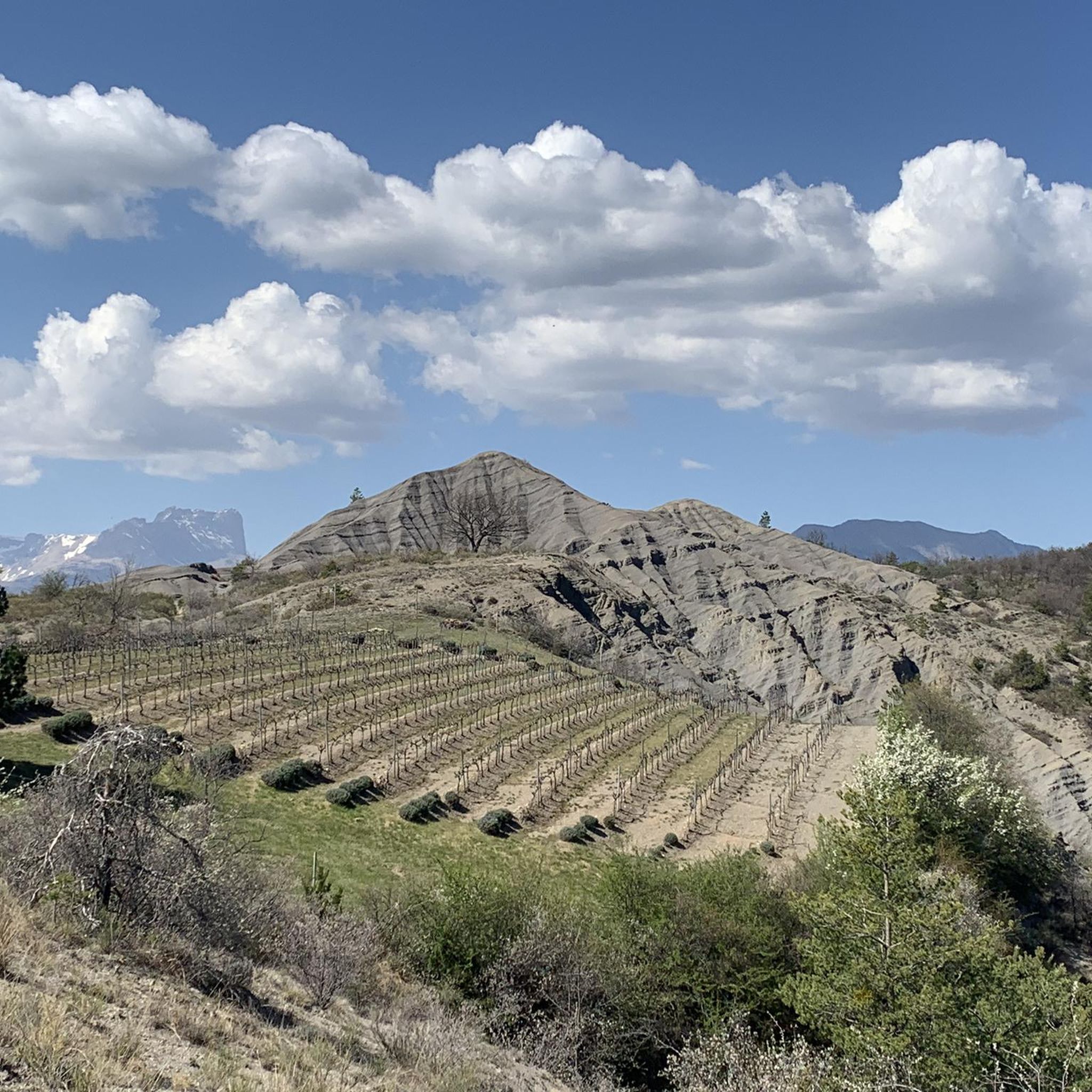
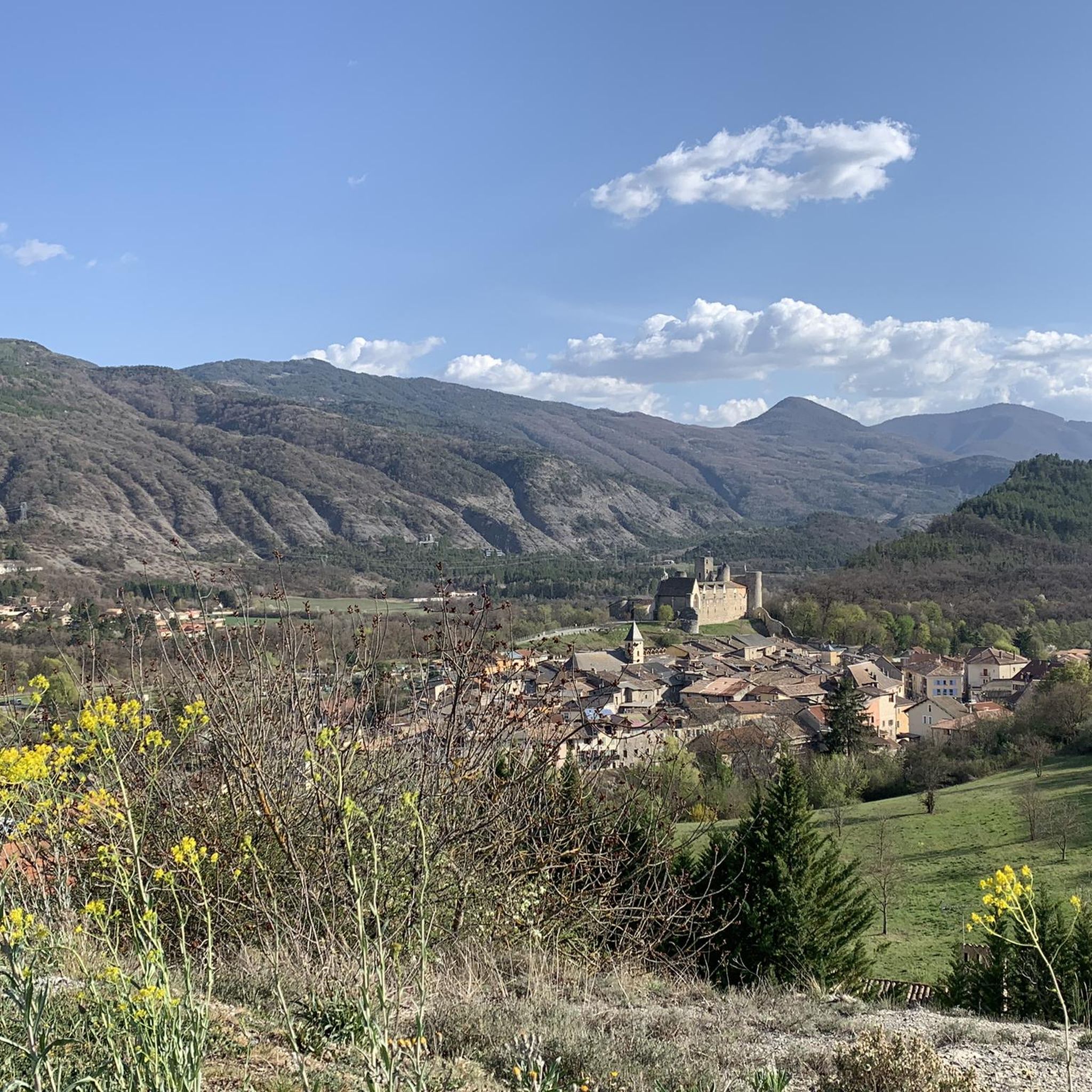
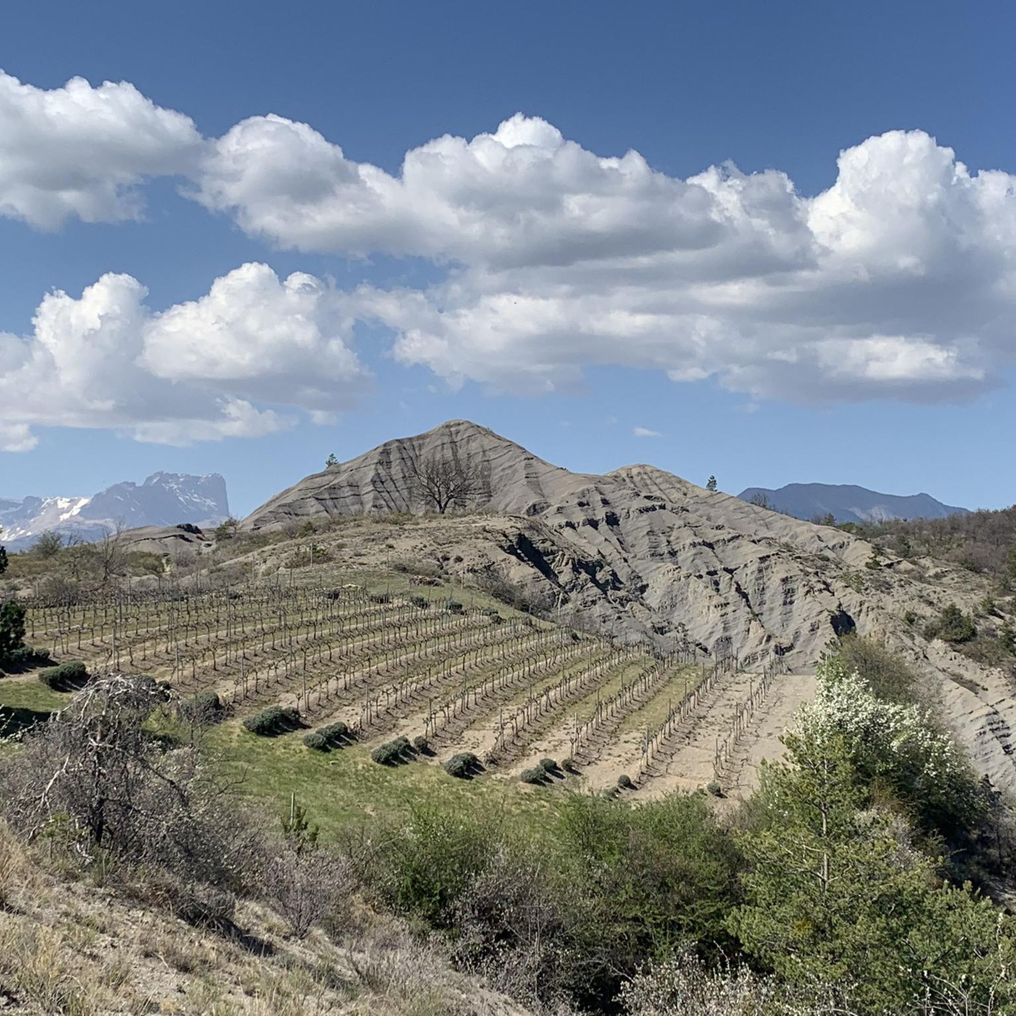

Tips from the Community

Very quiet but (http://rosetoy.cam/) extremely effective.
0
0


visit is of course subject to a fee
1
0

Tallard village is famous for its medieval heritage, particularly the 14th-16th century castle. The streets are narrow and winding and you can really feel the medieval heritage while walking or riding around.
1
0

This path borders the Gap canal. The Gap canal collects water from the Drac in Haut-Champsaur and brings it to the Gapençais basin, where it is mainly used to supply the town of Gap with drinking water. The walk along the water reveals beautiful views of the surrounding landscapes.
0
0

The small streets of the town of Tallard lead to its 10th century castle. Its exceptional condition is a reference for all history and architecture enthusiasts.
1
1

A pretty garden in the Charance estate with roses, a waterfall and beautiful paths.
0
0
The Pic de Charance is 1,825 meters above sea level. From the summit, marked with a cross, there are exceptional views of the town of Gap, the Durance valley and the peak of Bure.
1
0
Frequently Asked Questions
How many mountaineering routes can I explore around Châteauvieux?
Komoot features 5 distinct mountaineering routes around Châteauvieux, offering a variety of experiences within the Southern French Alps. These routes are highly rated by the komoot community, with an average score of 5.0 stars.
Are there any easy mountaineering routes suitable for beginners in Châteauvieux?
Yes, for those seeking a less strenuous experience, the Tallard Castle loop from Tallard is classified as an easy mountaineering route. It covers 6.7 km with an elevation gain of around 111 meters, making it a good option for beginners or a relaxed day out.
What kind of terrain can I expect on mountaineering routes near Châteauvieux?
The terrain around Châteauvieux is characteristic of the Southern French Alps, featuring dramatic alpine landscapes, extensive trail networks, and mountainous areas. You'll encounter diverse environments ranging from flowery meadows to formidable snow-capped peaks, especially as you approach the higher elevations.
Are there any circular mountaineering routes in the Châteauvieux area?
Yes, several routes are circular. For instance, the Pic de Charance – La Brèche de Charance loop from Gap and the Pic de Céüse loop from Céüze are both popular circular options, allowing you to start and end at the same point.
What are some notable landmarks or natural features I might see on a mountaineering trip in Châteauvieux?
Mountaineering routes in the region offer views of significant natural features and landmarks. You can explore areas near Gap, which is surrounded by mountains like Charance. The Tallard Castle is also a prominent historical site near one of the routes. The broader region is known for its snow-capped peaks and proximity to the Écrins National Natural Park.
What do other mountaineers enjoy most about the routes around Châteauvieux?
The komoot community highly rates the mountaineering routes around Châteauvieux, with an average score of 5.0 stars. Reviewers often praise the stunning mountainous landscapes, the diverse terrain, and the well-maintained trail networks that offer options for various ability levels.
Are there any family-friendly mountaineering options near Châteauvieux?
While many mountaineering routes can be challenging, the Tallard Castle loop from Tallard is an easier option that might be suitable for families looking for a less demanding mountain experience. It features a lower elevation gain and shorter distance compared to other routes.
When is the best time of year for mountaineering in Châteauvieux?
The mild climate of the Gapençais region, where Châteauvieux is located, makes it conducive to nature activities for much of the year. However, for mountaineering, late spring through early autumn generally offers the most favorable conditions, avoiding heavy snow and extreme winter weather on the higher peaks. Always check local conditions before heading out.
Are there any routes that offer significant elevation gain for a challenging experience?
For a more challenging ascent, the Écluse d'Oeuf – Pic de Charance loop from Gap involves a substantial elevation gain of approximately 858 meters over its 12.3 km distance, providing a rewarding workout and expansive views.
Can I find routes that explore the area around Pic de Céüse?
Yes, the region offers routes specifically exploring the area around Pic de Céüse. The Pic de Céüse loop from La Montagne is a moderate 11.7 km route with about 696 meters of elevation gain, providing an excellent way to experience this notable peak.
Is public transport available to access the starting points of these mountaineering routes?
While specific public transport details for each trailhead are not provided, Châteauvieux's proximity to the city of Gap suggests that public transport options might be available to reach general areas. However, for direct access to trailheads, a car is often recommended in mountainous regions like the Southern French Alps.
Are there any specific peaks or summits mentioned in the routes?
Yes, several routes focus on specific peaks. You can find routes like the Pic de Charance – La Brèche de Charance loop from Gap and routes exploring Ceuze pike, offering opportunities to summit or traverse prominent mountains in the area.
Most popular routes around Châteauvieux
Most popular attractions around Châteauvieux

Get inspired with the komoot mobile app


Explore more
Browse the best Mountain Hikes & Routes in other regions.
