The best mountain hikes around La Bollène-Vésubie
5.0
(3)
19
hikers
5
hikes
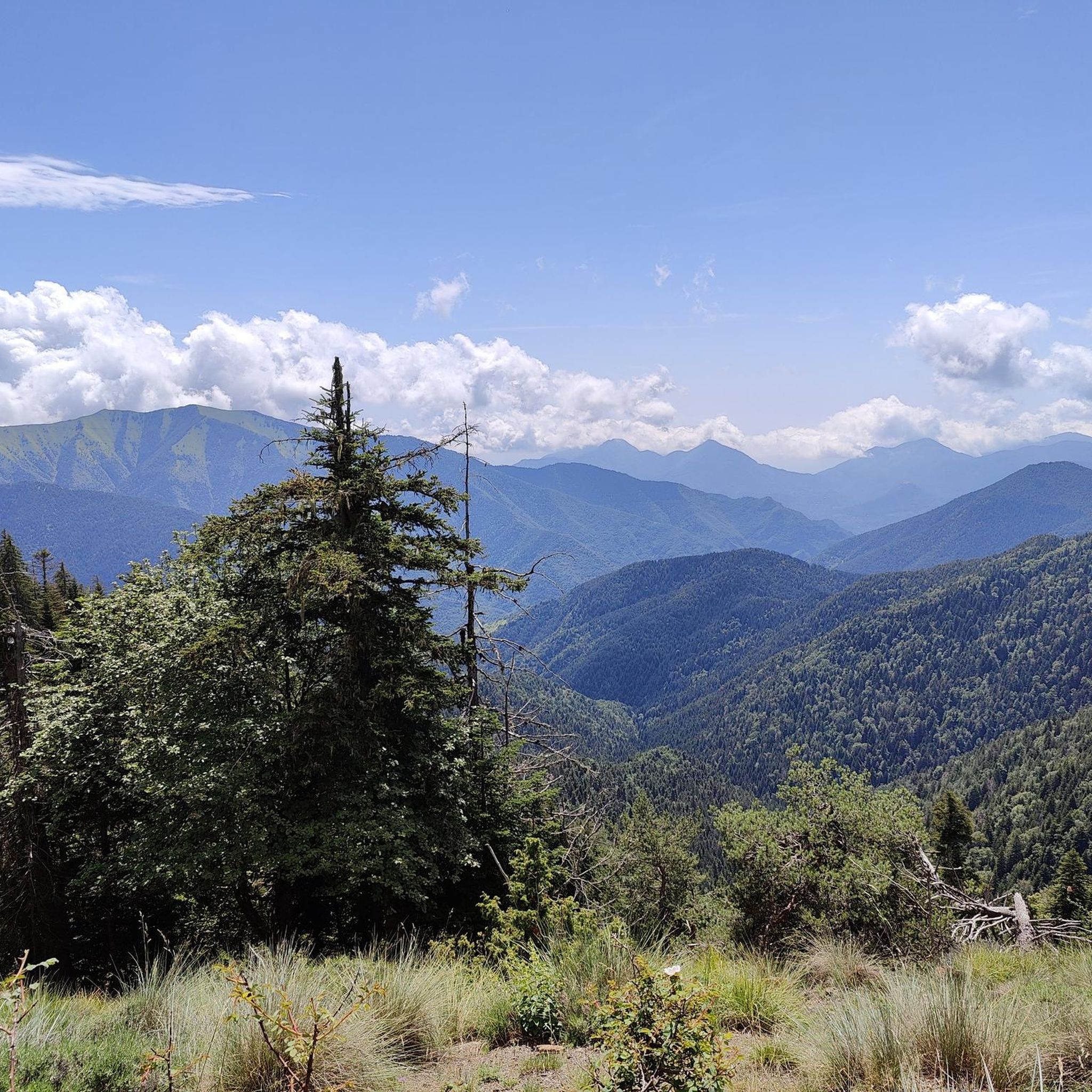
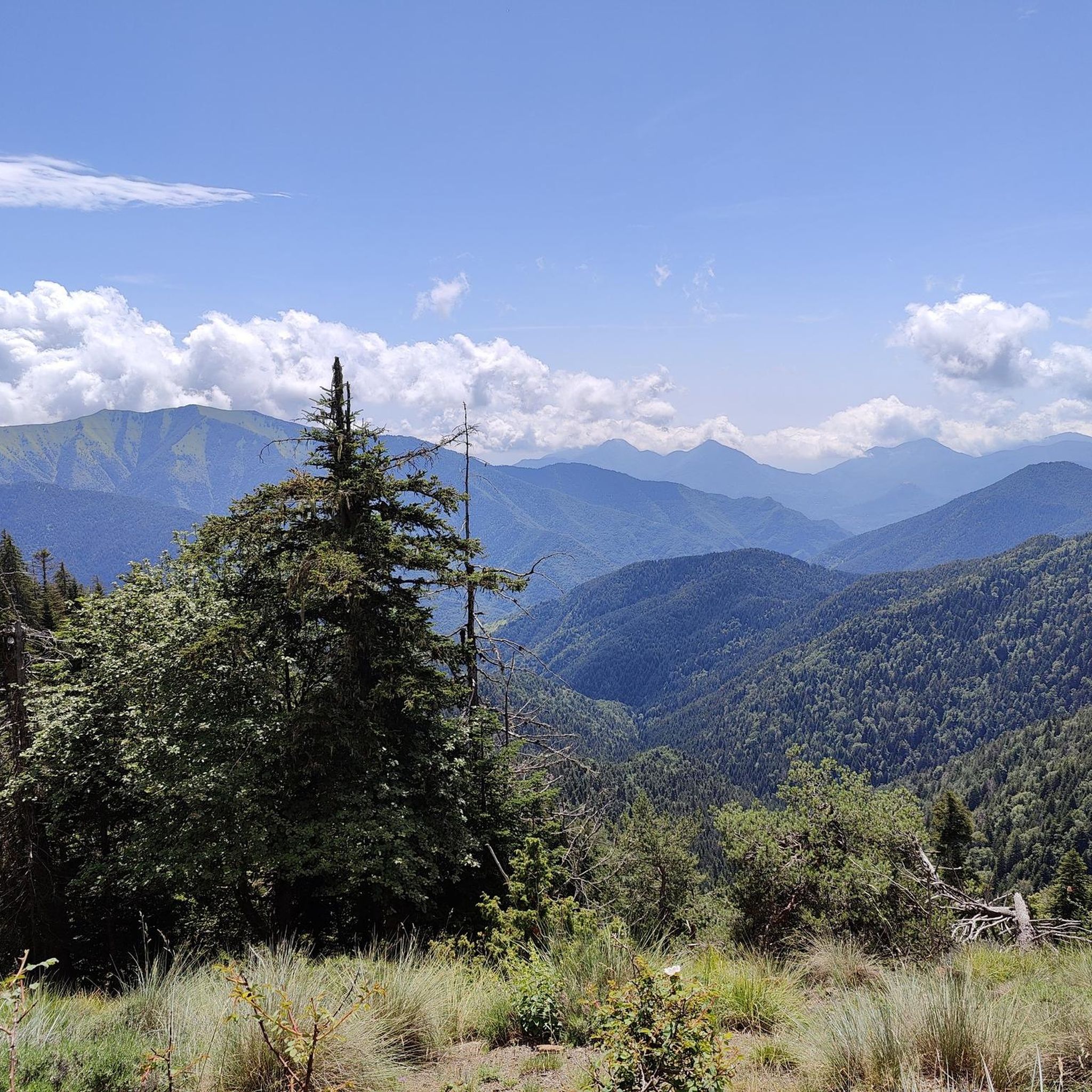
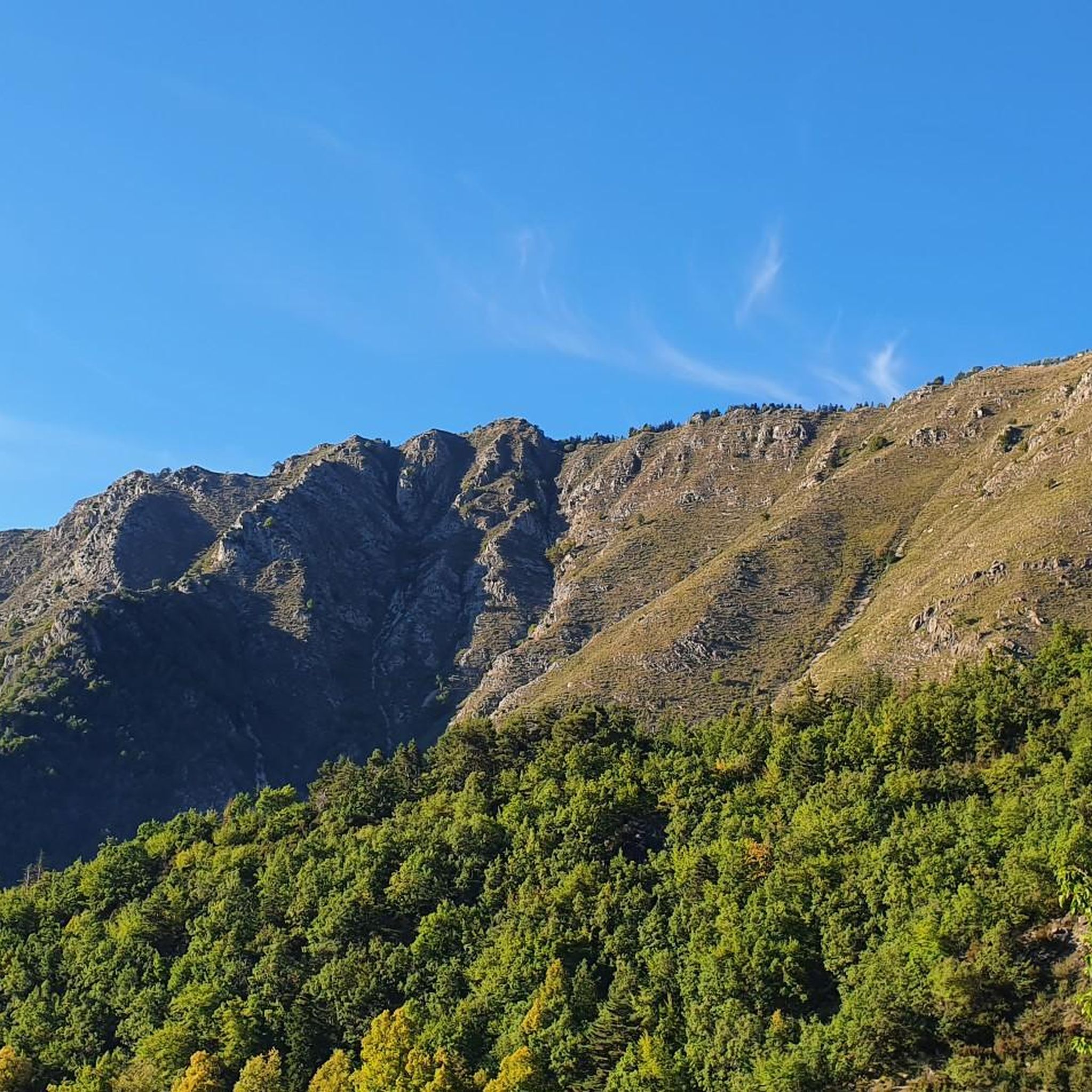
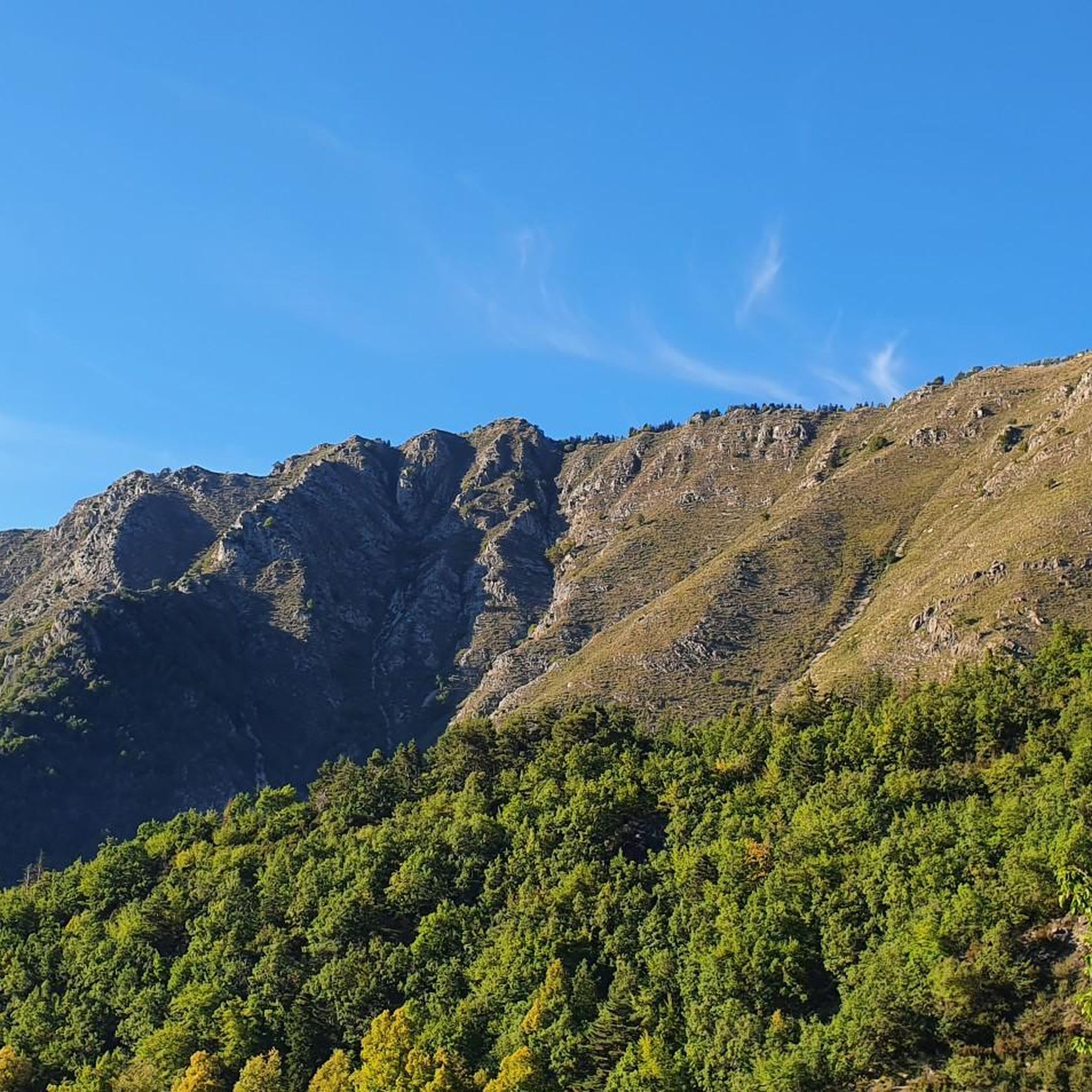
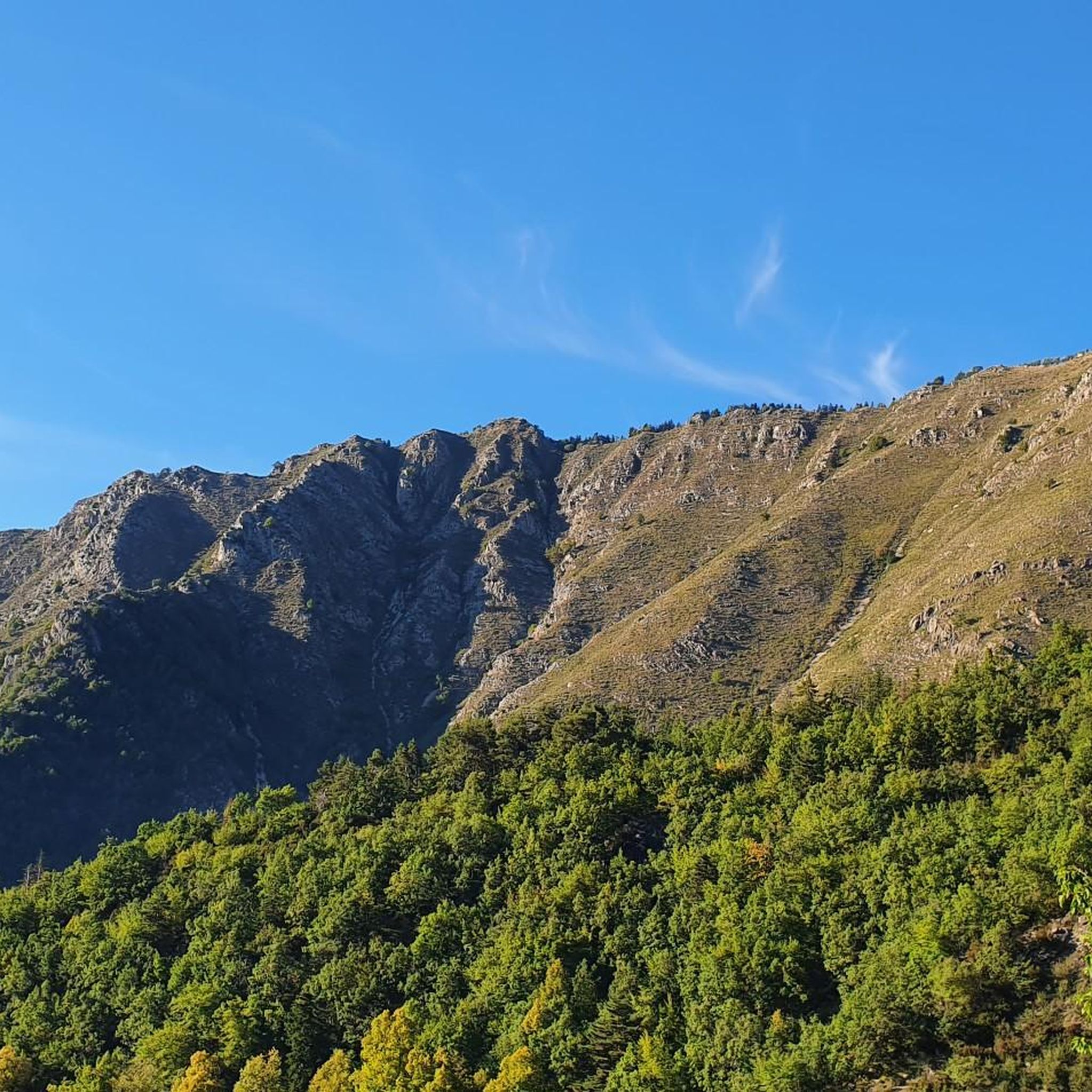
Mountaineering around La Bollène-Vésubie offers access to the rugged terrain of the Mercantour National Park, characterized by high-altitude alpine environments, deep valleys, and dramatic gorges. The region features a diverse landscape where the Alps meet the Mediterranean, providing a range of challenging ascents and scenic routes. The Vésubie Valley, where the village is situated, contributes to the wild and picturesque setting, with numerous trails leading to elevated peaks and mountain lakes.
Best mountaineering routes around La Bollène-Vésubie
- The most popular…
Last updated: September 29, 2026
4.0
(1)
9
hikers
16.5km
07:58
1,300m
1,300m
Hard mountaineering route. Very good fitness required. Sure-footedness, sturdy shoes and alpine experience required.
5.0
(1)
3
hikers
13.6km
07:03
1,160m
1,160m
Hard mountaineering route. Very good fitness required. Mostly accessible paths. Sure-footedness required.

5.0
(1)
3
hikers
11.0km
03:28
410m
410m
Moderate mountaineering route. Good fitness required. Easily-accessible paths. Suitable for all skill levels.
5.0
(1)
2
hikers
20.3km
09:44
1,510m
1,510m
Hard mountaineering route. Very good fitness required. Mostly accessible paths. Sure-footedness required.
2
hikers
10.5km
03:28
480m
480m
Moderate mountaineering route. Good fitness required. Easily-accessible paths. Suitable for all skill levels.
Our route recommendations are based on thousands of hikes, rides, and runs completed by other people on komoot.
Start today with a free account
Your next adventure awaits.
Popular around La Bollène-Vésubie


Other adventures around La Bollène-Vésubie


Tips from the Community

This hiking route runs through the Vallée des Merveilles, in the heart of the Mercantour National Park. A little further south of Lake Basto, hikers pass through Valmasque Bay (2,459 m) before descending into the valley of wonders, a chaotic mineral landscape. Here you will find archaeological treasures such as rock carvings, most of which date back to around 3,300 BC.
0
0
The Pas de l'Arpette (2511 m) is the gateway to the Merveilles Valley, from Vésubie. Effort and beautiful emotions guaranteed. From the Gordolasque car park, cross the Countet bridge (1692 m) and turn right at milestone 412, in the direction of Pas de l'Arpette (2511 m), which you reach after crossing the Empuonrame valley. Then we can move to the Merveilles Valley, which can be visited in the company of a guide approved by the Mercantour National Park to observe the more than 40,000 rock carvings, the oldest dating back to the Copper Age and the beginning of the Bronze Age. . Age. The return is made by the same route.
1
0
Located west of Mont Bego and at more than 2,000 m above sea level, the Vallée des Merveilles offers the austere beauty of a mineral and chaotic landscape, at the foot of imposing peaks reflected in multiple lakes with evocative names. There are particularly emblematic engravings, depicting themes that combine everyday life and beliefs. On the eastern slope of Mount Bego, the Fontanalba valley shows its engraved rocks in an open and welcoming place where the flora reveals all its richness. The engravings illustrate the pastoral life of the first shepherds of the Neolithic and Bronze Age, as demonstrated by the famous “sacred path”. Classified as a Historical Monument since 1989, the archaeological area of the Mont Bego rock engravings, straddling the two valleys, offers numerous discoveries, both historical and landscape, natural and cultural: welcome to one of the largest rock engraving sites in Europe . !
1
0
Located west of Mont Bego and at more than 2,000 m above sea level, the Vallée des Merveilles offers the austere beauty of a mineral and chaotic landscape, at the foot of imposing peaks reflected in multiple lakes with evocative names. There are particularly emblematic engravings, depicting themes that combine everyday life and beliefs. On the eastern slope of Mount Bego, the Fontanalba valley shows its engraved rocks in an open and welcoming place where the flora reveals all its richness. The engravings illustrate the pastoral life of the first shepherds of the Neolithic and Bronze Age, as demonstrated by the famous “sacred path”. Classified as a Historical Monument since 1989, the archaeological area of the Mont Bego rock engravings, straddling the two valleys, offers numerous discoveries, both historical and landscape, natural and cultural: welcome to one of the largest rock engraving sites in Europe . !
0
0
The refuge is located on the banks of the upper Long lake, in the heart of the rock engravings of the Vallée des Merveilles, surrounded by numerous lakes and peaks: Bégo, Grand Capelet, Cime du Diable... The refuge is located in an open-air museum. This exceptional archaeological site, classified as a historical monument, extends between two valleys around Mont Bégo. There are 40,000 rock engravings dating from -4000 to -2000 BC, which are marks of pastoral occupation. When you cross the Vallée des Merveilles on the GR, you feel an almost mystical and very unusual side.
1
0
The Nice refuge is located at 2,232 meters above sea level, in the town of Bélvédère, Alpes-Maritimes, in the Mercantour National Park.
0
0

This car park is located at the entrance to the Vallée des Merveilles in Mercantour. To get there, simply follow the signs indicating the hike. It is one of the most beautiful sites in the region!
1
0

First time visitors should be warned this is a refuge, not a hotel. As such don’t go expecting anything more than basic facilities. If you want a shower then it will be with cold water taken and filtered directly from the nearby lake. Without exception, we found the staff to be very friendly, as were all the hikers we spoke to. No matter if you arrive alone or with a group, everyone is staying at the refuge for the same reason as you, and this makes starting a conversation with someone you don’t know very easy. The advantages you get from staying in such a refuge is knowing you’ll be given somewhere dry and warm to sleep, plus something hot to eat. When it came close to having dinner everyone helped move all the rectangle tables into one long one, where we all then sat and enjoyed an amazing hot stew with bread. After dinner it was a quick cold shower. After which we relaxed outside for a while before kipping down for the night. Breakfast here was available, as was a packed lunch to take on our onward journey. All of course at extra cost. Like all refuges around the world, there is a limit to the amount of hikers each can accommodate at any one time. Because of this you’ll need to book a place well in advance of your trip. Arriving on the day looking for a place is unlikely to be successful unless a booking goes unfilled, which wouldn’t be noticeable until well after sunset. You can camp outside near the refuge but you’ll need to get permission first.
2
0
Frequently Asked Questions
How many mountaineering routes are available around La Bollène-Vésubie?
There are 5 mountaineering routes available around La Bollène-Vésubie, offering a range of experiences from moderate to difficult within the Mercantour National Park.
What is the best time of year for mountaineering in La Bollène-Vésubie?
The Mercantour National Park, where La Bollène-Vésubie is located, offers diverse conditions. While specific routes might be accessible for longer, generally late spring through early autumn provides the most favorable weather for high-altitude mountaineering. Winter brings snow, making routes suitable for snowshoeing or experienced winter mountaineers.
Are there options for beginner mountaineers in La Bollène-Vésubie?
Yes, there are moderate options suitable for those with good fitness and some alpine experience. For instance, the Camp d'Argent loop from Col de Turini is a moderate 6.8-mile trail that takes about 3 hours 28 minutes, offering varied mountain terrain near the renowned Col de Turini.
What kind of terrain can I expect on mountaineering routes in La Bollène-Vésubie?
Mountaineering around La Bollène-Vésubie takes you through the rugged and diverse landscapes of the Mercantour National Park. You'll encounter high-altitude alpine environments, deep valleys, dramatic gorges, and trails leading to elevated peaks and mountain lakes. The terrain can be challenging, requiring sure-footedness and sturdy shoes, especially on difficult routes.
What natural features or landmarks can I see along the mountaineering routes?
The routes often lead to stunning natural features. You can explore beautiful mountain lakes such as Lake La Fous and Lac des Merveilles. The region is also known for its impressive gorges and canyons, like the Riou de la Bollène, which offers unique tuff waterfalls. The Col de Turini itself is a notable mountain pass offering remarkable views and access to many trails.
Are there any circular mountaineering routes available?
Yes, several routes are designed as loops, allowing you to start and end at the same point. Examples include the challenging Lac de la Fous – Lacs du Mont Clapier loop from Parking du Countet and the moderate Suorcas Peak loop from Col de Turini.
What do other mountaineers say about the routes in La Bollène-Vésubie?
The mountaineering routes in La Bollène-Vésubie are highly rated by the komoot community, with an average score of 5.0 stars from over 3 reviews. Mountaineers often praise the stunning scenery, the challenging ascents, and the immersive natural experience within the Mercantour National Park.
Are there any family-friendly mountaineering options?
While many routes require good fitness and alpine experience, some moderate trails might be suitable for families with older children who are accustomed to hiking. The Camp d'Argent loop from Col de Turini, for example, is a moderate route that could be considered for active families looking for a mountain experience.
Can I bring my dog on the mountaineering routes?
La Bollène-Vésubie is located within the Mercantour National Park. While dogs are generally welcome in some parts of the park, specific regulations apply, especially in the core zone where they might be restricted or required to be on a leash to protect wildlife. It's advisable to check the current park regulations before planning your trip with a dog.
How long do mountaineering routes in La Bollène-Vésubie typically take?
The duration of routes varies significantly based on difficulty and distance. For example, the moderate Camp d'Argent loop from Col de Turini can be completed in about 3 hours 28 minutes, while more difficult and longer routes like the Lac des Merveilles – Lac Mouton loop from Parking du Countet can take around 9 hours 42 minutes.
Where can I find parking for the mountaineering routes?
Many of the mountaineering routes, especially those leading to high mountain lakes, often start from designated parking areas. For instance, several challenging routes like the Lac Mouton – Pas de l'Arpette loop begin from Parking du Countet. Other routes, such as those near Col de Turini, also have parking facilities available at the pass.
Are there any particularly challenging routes for experienced mountaineers?
Yes, for experienced mountaineers seeking a significant challenge, routes like the Lac des Merveilles – Lac Mouton loop from Parking du Countet offer sustained climbs and considerable elevation gain, exploring high mountain lakes and requiring good alpine experience.
Most popular routes around La Bollène-Vésubie
Most popular attractions around La Bollène-Vésubie

Get inspired with the komoot mobile app


Explore more
Browse the best Mountain Hikes & Routes in other regions.
