The best mountain hikes around Prunières
4.8
(9)
32
hikers
6
hikes
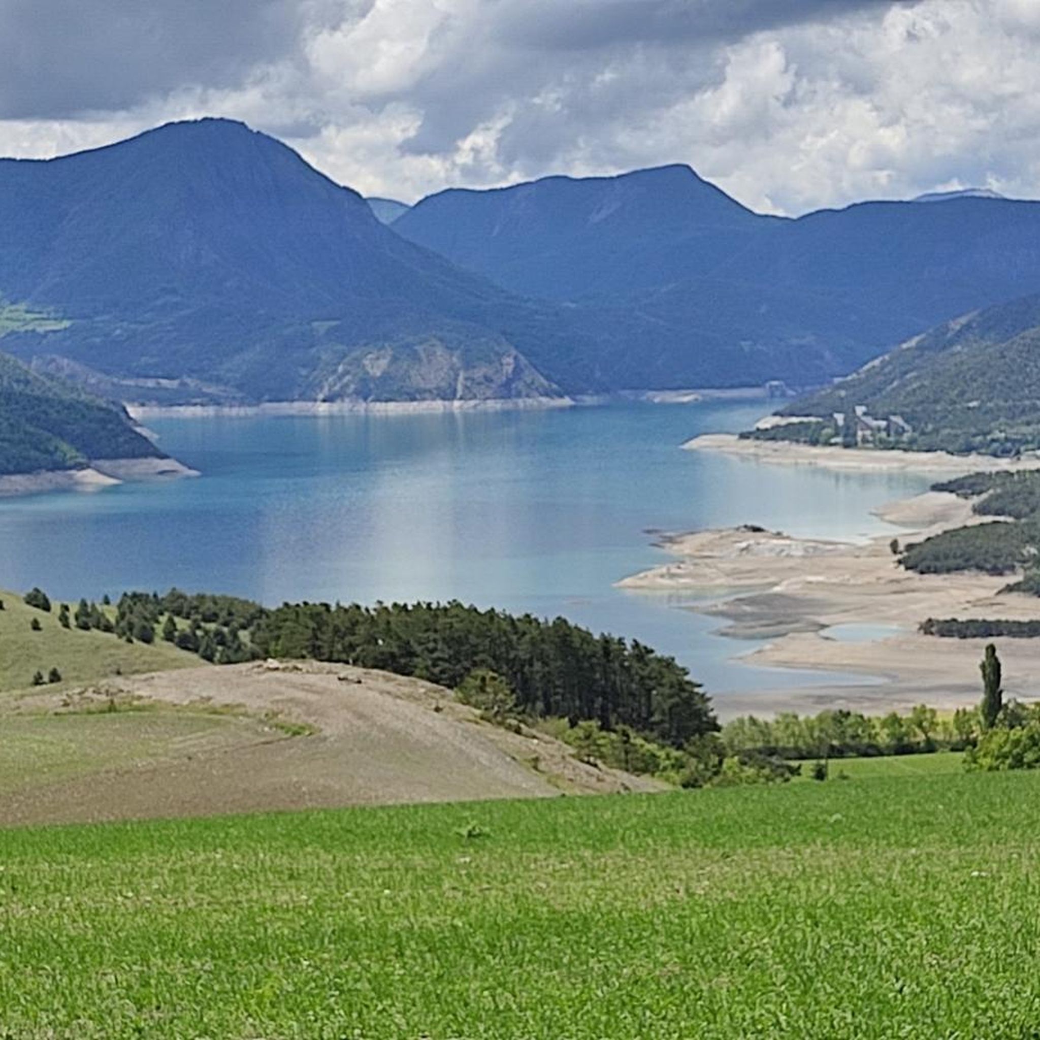
Mountaineering routes around Prunières are situated in the Hautes-Alpes department of southeastern France, offering diverse landscapes within the Southern French Alps. The region is characterized by its proximity to the vast Serre-Ponçon Lake and serves as a gateway to the Écrins National Park, known for its dramatic peaks and accessible glaciers. Elevations range from 770 to 2,390 meters, encompassing terrain from larch forests to Mediterranean-accented steppes, including the slopes of the Pic de Chabrières.
Best mountaineering routes around Prunières
- The…
Last updated: October 12, 2026
4.7
(3)
12
hikers
Moderate mountaineering route. Good fitness required. Mostly accessible paths. Sure-footedness required.
4.7
(3)
7
hikers
Moderate mountaineering route. Good fitness required. Mostly accessible paths. Sure-footedness required.

5.0
(3)
6
hikers
10.5km
05:19
860m
860m
Hard mountaineering route. Very good fitness required. Sure-footedness, sturdy shoes and alpine experience required.
3
hikers
Moderate mountaineering route. Good fitness required. Mostly accessible paths. Sure-footedness required.
4
hikers
Moderate mountaineering route. Good fitness required. Mostly accessible paths. Sure-footedness required.
Our route recommendations are based on thousands of hikes, rides, and runs completed by other people on komoot.
Start today with a free account
Your next adventure awaits.

Tips from the Community

Does anyone know if dogs are allowed?
0
0

For my small size, it was climbing at this spot 😂
0
0

Take enough water because there is no water point
1
0


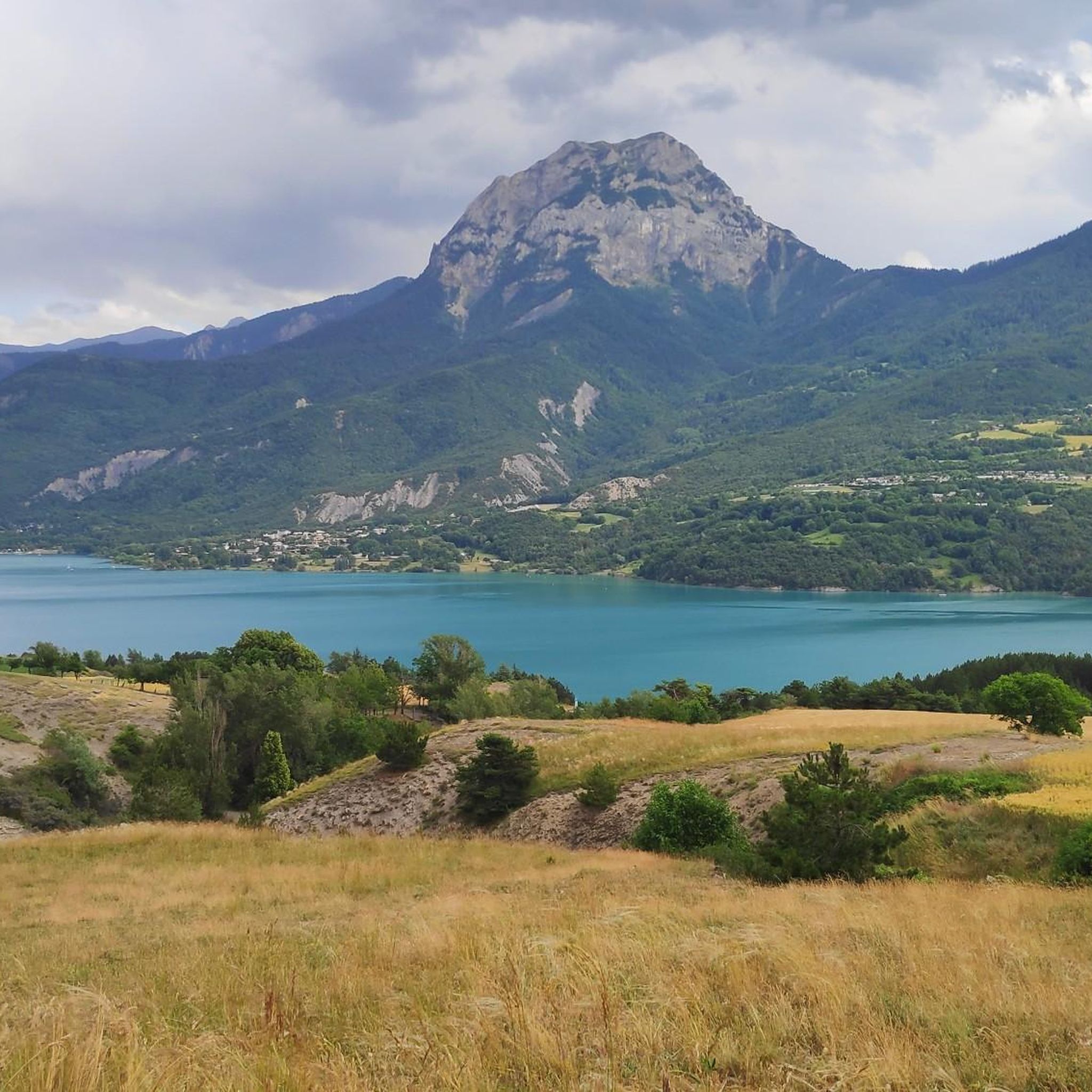
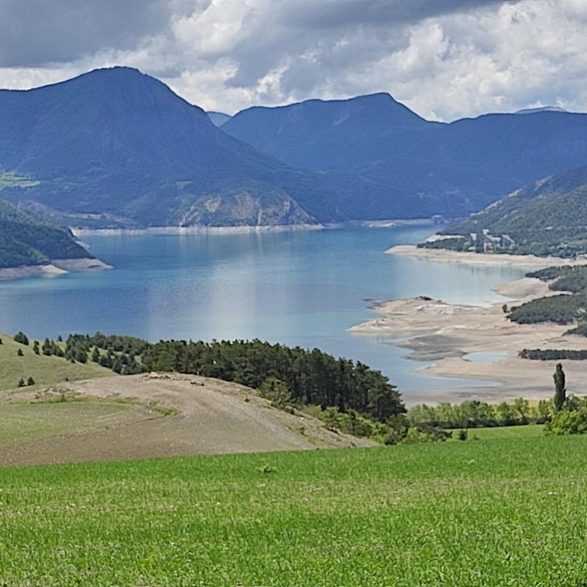
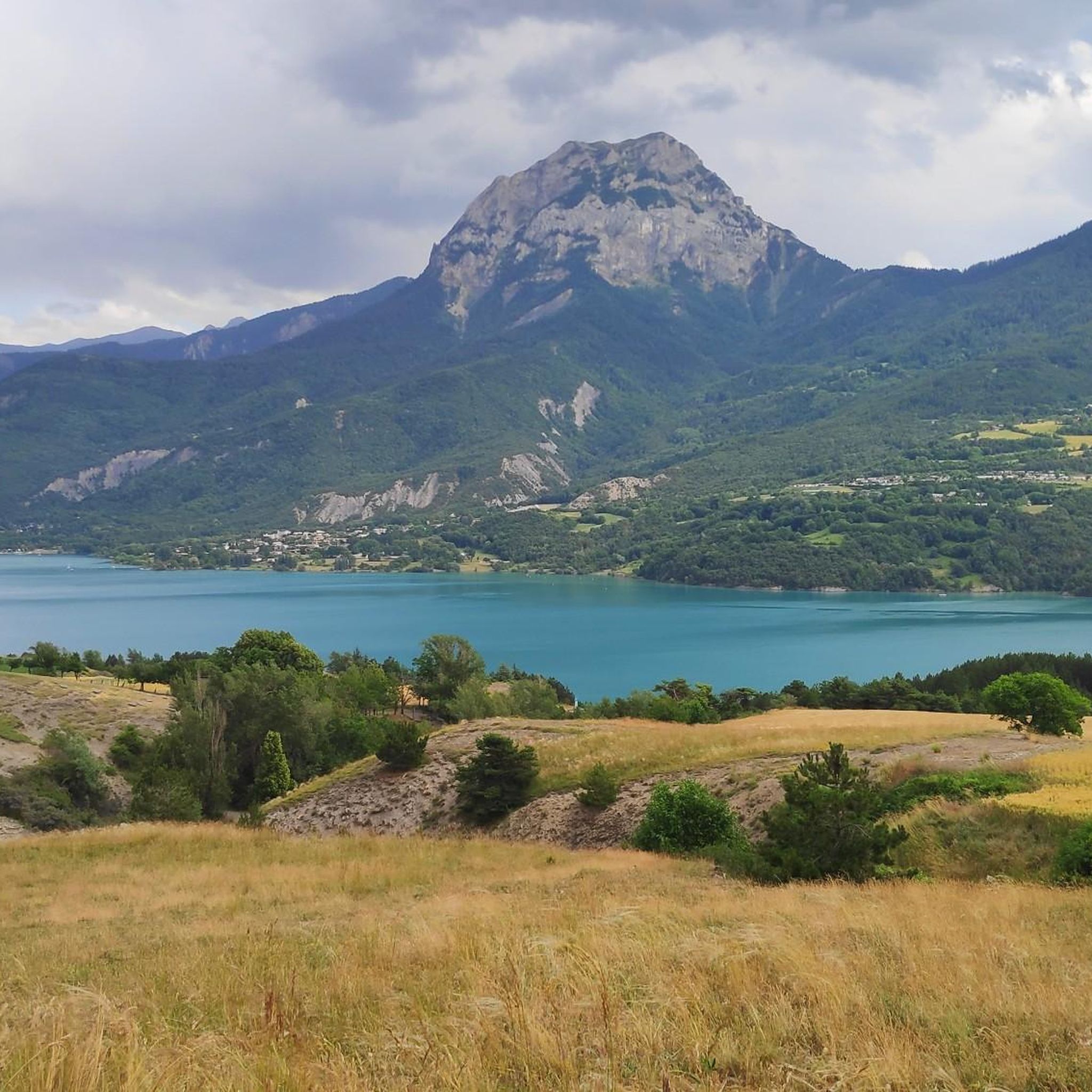
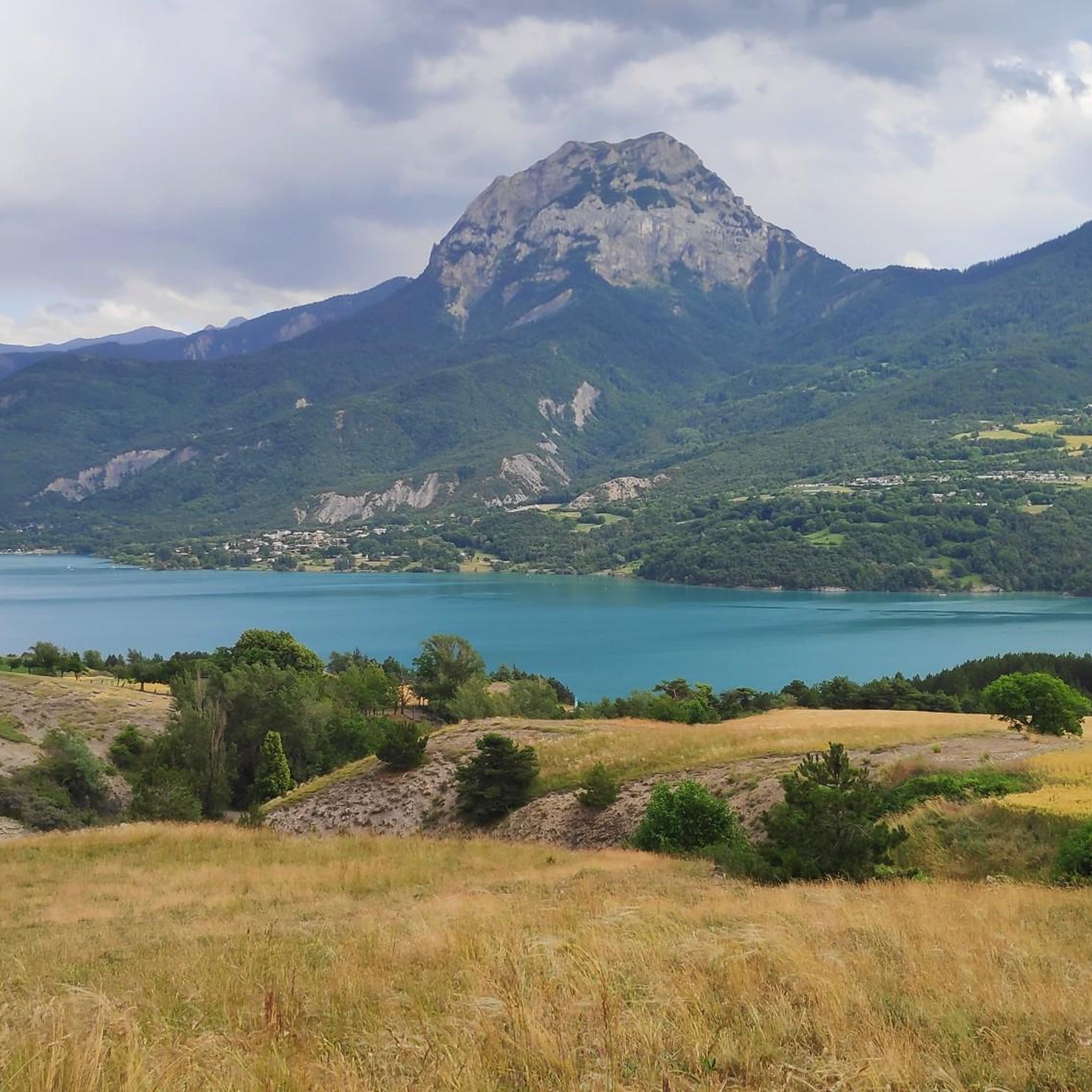
Magnificent view of Lake Serre-Ponçon and its mountains from a superb path in the shade of the Aiguilles de Chabrières.
0
0

This superb path below the Aiguilles de Chabrières offers magnificent views of Lake Serre-Ponçon. It is easily accessible from Saint-Apollinaire.
0
0
Frequently Asked Questions
Are there family-friendly mountaineering routes in Prunières?
While many routes in Prunières are challenging, there are options suitable for families looking for a less strenuous experience. The region offers a diverse mountain environment with larch forests and high-altitude lakes, providing opportunities for iconic hikes and family walks. For example, the Lac de Saint-Apollinaire – View of Lake Serre-Ponçon loop from Saint-Apollinaire is a moderate route that offers beautiful views without extreme difficulty.
Can I bring my dog on mountaineering routes in Prunières?
The general area around Prunières offers various trails where dogs are permitted. However, Prunières serves as a gateway to the Écrins National Park, which has specific regulations regarding dogs to protect wildlife. Within the core zone of the National Park, dogs are generally not allowed, even on a leash. It's always best to check local signage or park regulations for specific routes before heading out with your dog.
Are there circular mountaineering routes available in Prunières?
Yes, Prunières offers several excellent circular mountaineering routes. For instance, the popular Morgon Peak – Morgon Peak loop from Abbaye de Boscodon provides expansive panoramas. Another great option is the Panoramic loop from Station de Ski de Réallon, which offers extensive views across the mountainous landscape. The Panoramic loop from Saint-Apollinaire is also a well-regarded circular trail.
What are some notable natural attractions near the mountaineering routes?
The Prunières area is rich in natural beauty. You can explore the stunning Lac de Saint-Apollinaire, or marvel at the unique geological formations known as the Demoiselles Coiffées (fairy chimneys). The impressive Chabrières Needles offer dramatic scenery, and the Cirque de Morgon is another breathtaking natural monument to discover.
How can I get to the starting points of these routes using public transport?
Public transport options to Prunières and surrounding trailheads can be limited, especially for more remote starting points. While some regional bus services might connect larger towns, direct access to all mountaineering route starting points by public transport is not always feasible. It's advisable to check local bus schedules for the Hautes-Alpes region in advance or consider carpooling or taxi services for specific trailheads.
Where can I park when accessing mountaineering routes in Prunières?
Parking is generally available at popular starting points for mountaineering routes around Prunières. For routes originating near villages like Saint-Apollinaire or ski stations such as Réallon, designated parking areas are usually provided. When accessing routes near Lac de Serre-Ponçon, look for parking facilities close to the lake's amenities or specific trailheads. Always ensure you park in marked areas to avoid obstructing local traffic or private access.
Do I need any special permits for mountaineering in the Prunières area, especially near Écrins National Park?
For general mountaineering and hiking in the Prunières area, specific permits are typically not required. However, if your route takes you into the core zone of the Écrins National Park, certain activities might have regulations, and it's always good practice to be aware of park rules, especially concerning bivouacking, campfires, or protected areas. For technical climbing on specific faces, it's recommended to consult local guides or the Bureau Montagne Serre-Ponçon Écrins for any specific access requirements or safety information.
What is the best time of year for mountaineering in Prunières?
The best time for mountaineering in Prunières is generally from late spring to early autumn (May to October). During these months, the weather is typically more stable, and trails are free of snow at lower to mid-altitudes. Summer offers warm, sunny conditions, ideal for high-altitude exploration. Early autumn provides crisp air and stunning fall foliage. Always check the local weather forecast and trail conditions before heading out, as mountain weather can change rapidly.
Are there options for beginner mountaineers in Prunières?
Yes, Prunières offers a range of terrain suitable for different levels. While the region is known for its challenging climbs, there are also moderate routes that can serve as an excellent introduction to mountaineering. These routes often involve significant elevation gain but are less technical, allowing beginners to experience the high-alpine environment. The Lac de Saint-Apollinaire – View of Lake Serre-Ponçon loop from Saint-Apollinaire is a good example of a moderate route.
What about more advanced or technical climbing opportunities in the Prunières area?
For experienced mountaineers seeking a challenge, Prunières is a gateway to the Écrins National Park, often considered a 'Mecca' for alpinism. The impressive Aiguilles de Chabrières offer technical climbing opportunities with rewarding views. The Pays des Écrins provides various climbing spots with granite and limestone, including bouldering, multi-pitch routes, and routes for different difficulty levels, catering to seasoned experts. Always ensure you have the necessary skills, equipment, and experience for such endeavors.
Are there mountain huts or refuges available for overnight stays near Prunières?
Yes, as a region bordering the Écrins National Park, there are mountain huts and refuges available for overnight stays, particularly for longer mountaineering expeditions. These huts provide essential shelter and often offer meals, allowing for multi-day treks. While specific huts directly adjacent to Prunières might be limited, options exist deeper within the Écrins massif. It's recommended to book in advance, especially during peak season.
What do other mountaineers enjoy most about the routes in Prunières?
The mountaineering routes in Prunières are highly rated by the komoot community, with an average score of 4.9 stars from over 25 reviews. Mountaineers frequently praise the expansive panoramas, especially the breathtaking views over the Serre-Ponçon Lake and the dramatic mountainous landscapes. The diverse terrain, ranging from larch forests to high-alpine environments, and the sense of adventure in the Southern French Alps are also highly appreciated.
Are there any routes that offer views of Lac de Serre-Ponçon?
Absolutely! Many mountaineering routes in the Prunières area provide stunning views of the vast Serre-Ponçon Lake. The village itself overlooks the lake, and routes like the Morgon Peak – Morgon Peak loop from Abbaye de Boscodon are specifically highlighted for their expansive panoramas, including views of the lake. The Col de Pontis also offers magnificent views of the lake.
Most popular routes around Prunières
Most popular attractions around Prunières

Get inspired with the komoot mobile app


Explore more
Browse the best Mountain Hikes & Routes in other regions.
