The best running trails around Prunières
4.3
(103)
3,511
runners
13
runs
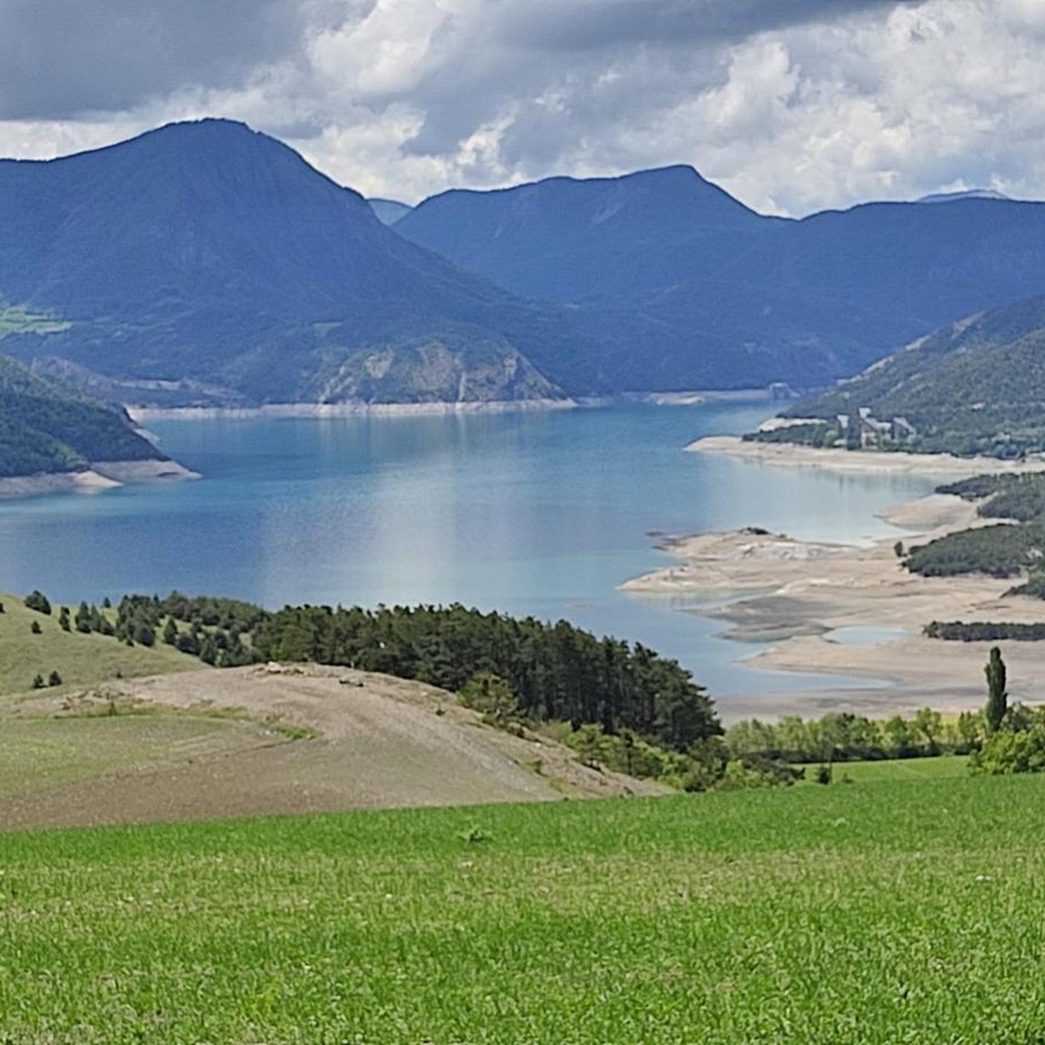
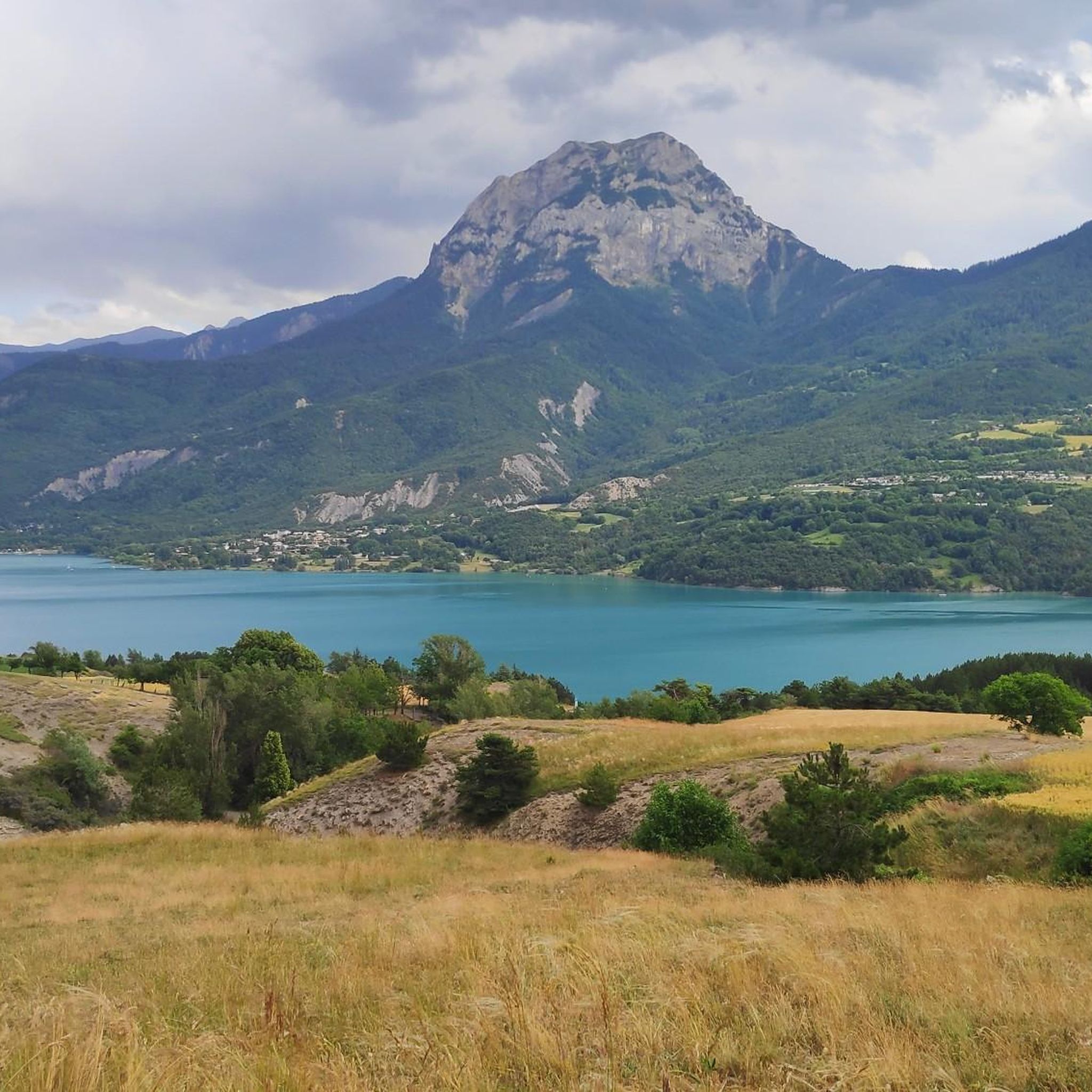
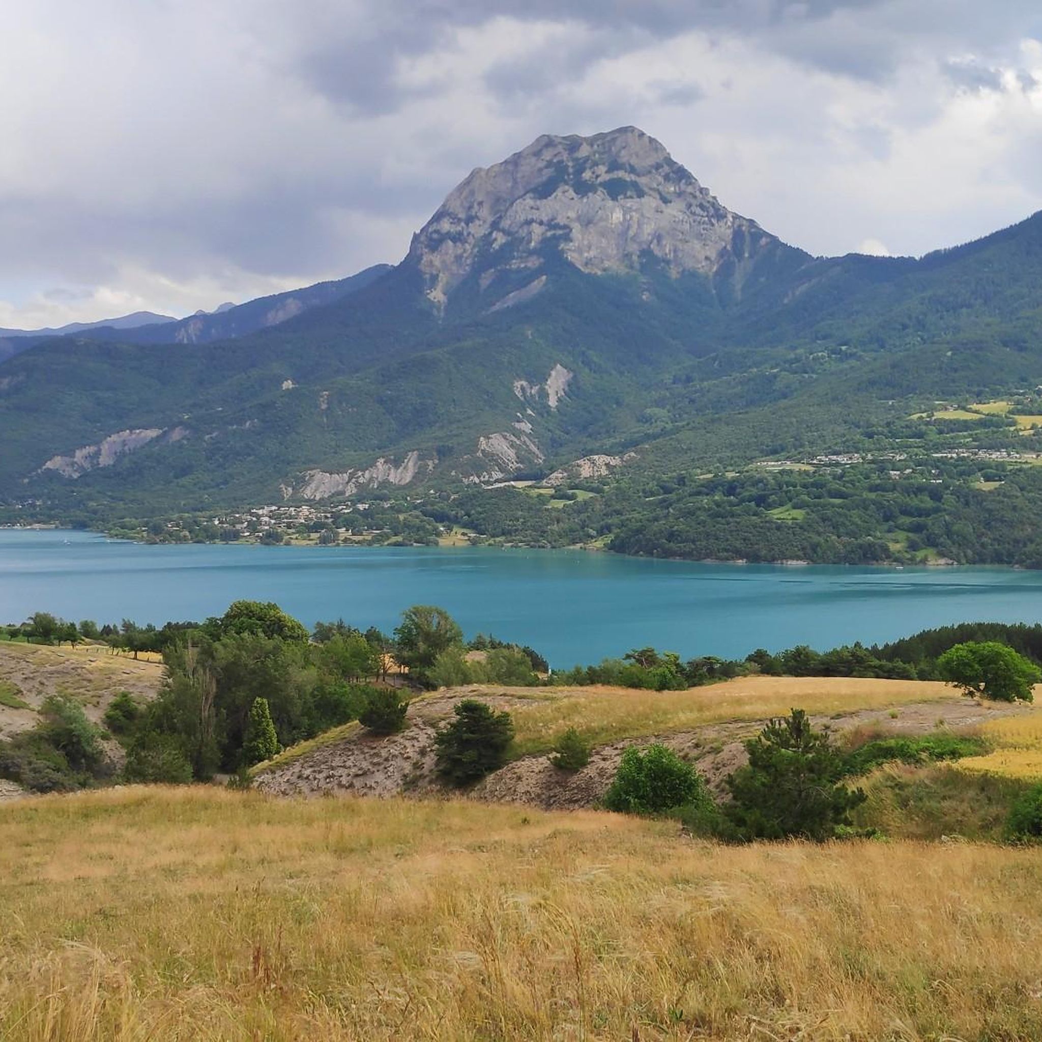
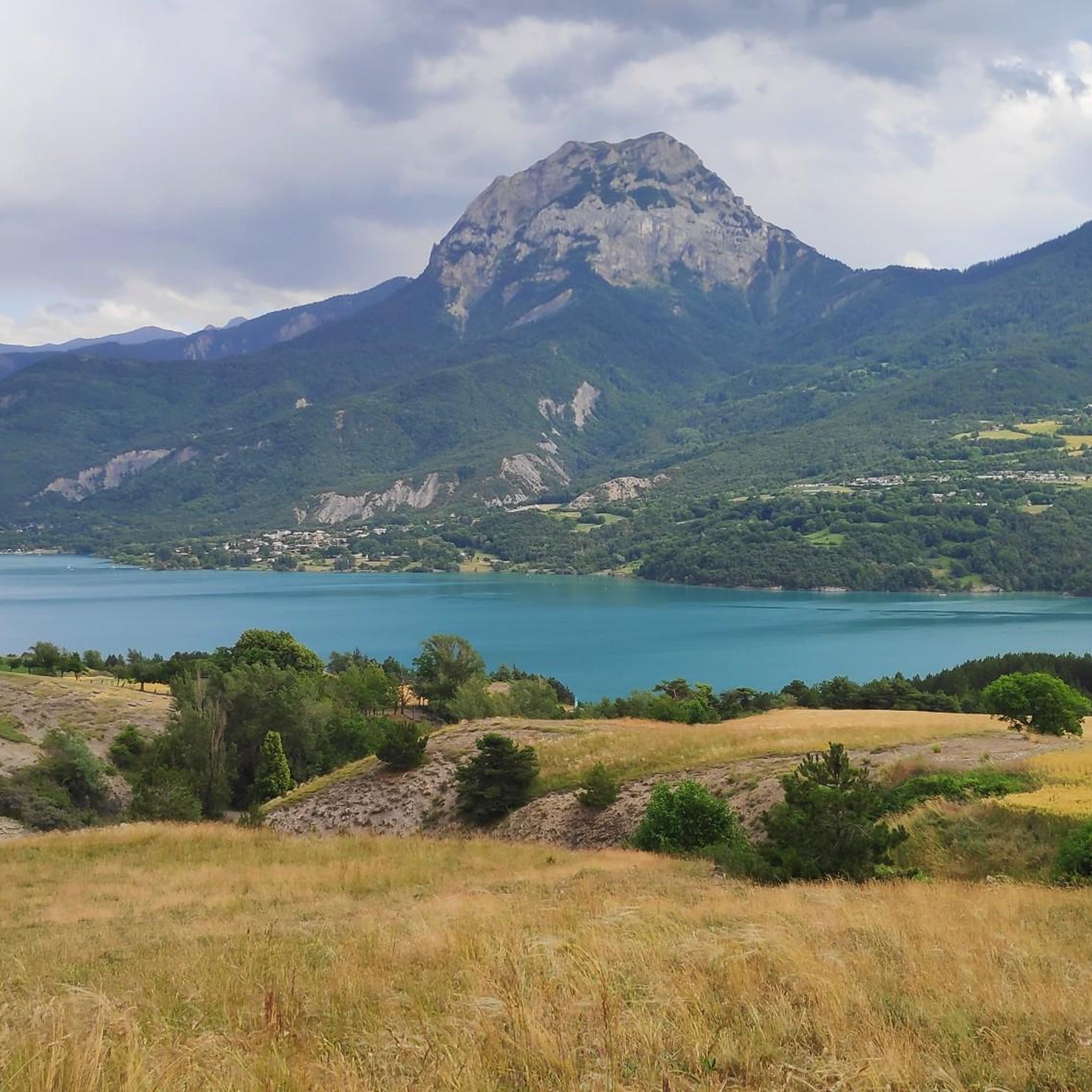
Jogging around Prunières France offers diverse landscapes, from the shores of Lake Serre-Ponçon to the foothills of the Southern French Alps. The region features a mix of Mediterranean-like steppic vegetation near the water and larch forests at higher elevations, providing varied scenery for runners. Trails range from flat, scenic paths along the lake to more challenging routes with significant elevation gain in the mountainous terrain bordering the Écrins National Park. This variety ensures options for different fitness levels, with routes…
Last updated: May 17, 2026
4.0
(1)
40
runners
8.56km
00:56
170m
170m
Moderate run. Good fitness required. Mostly paved surfaces. Suitable for all skill levels.
4.8
(4)
15
runners
9.00km
01:06
250m
250m
Moderate run. Good fitness required. Mostly paved surfaces. Suitable for all skill levels.

Sign up for free
6
runners
11.7km
01:19
300m
290m
Moderate run. Good fitness required. Mostly paved surfaces. Suitable for all skill levels.
5
runners
6.87km
00:47
190m
190m
Moderate run. Good fitness required. Mostly paved surfaces. Suitable for all skill levels.
7
runners
10.6km
01:08
100m
100m
Moderate run. Good fitness required. Mostly paved surfaces. Suitable for all skill levels.
Get access to more routes and recommendations from other explorers.
Sign up for free
Already have an account?
Our route recommendations are based on thousands of hikes, rides, and runs completed by other people on komoot.
Start today with a free account
Your next adventure awaits.
Login or Signup

Tips from the Community

This is where you will have a breathtaking view of the Serre Ponçon lake. By going to this viewpoint, you will be able to admire the turquoise waters of the lake, surrounded by the rugged peaks of the French Alps. The area offers peaceful hiking trails and is a great place to take a break and admire the natural beauty of this large artificial lake, which reflects the surrounding mountains.
0
1

Look behind you - there's fantastic scenery all around!
0
0

Very nice to pass over this bridge but pay attention to the traffic.
15
0
A lake with crazy colors.
15
0

arch bridge built over Lake Serre-Ponçon in Hautes-Alpes, France. It connects the shores of the lake and offers spectacular panoramic views of the surrounding mountains. Its construction was completed in 1961, and it has become an iconic symbol of the region, both for its functionality and its architectural beauty.
2
0

You can cycle all the way around it or partly if you cut off via the bridge. Cold water VAT
3
0
You can easily cycle over it. Be careful with traffic. Beautiful view of the lake.
3
2

Bridge across the lac. Watch out for rush hour as I can be a bit of a queue.
0
0
Frequently Asked Questions
How many running routes are available around Prunières?
There are over 180 running routes around Prunières, offering a wide range of options for all fitness levels. These include easy lakeside paths and more challenging mountain trails.
Are there easy jogging routes suitable for beginners or casual runners?
Yes, Prunières offers several easy jogging routes, particularly along the shores of Lac de Saint-Apollinaire and Lake Serre-Ponçon. These paths often feature flat terrain and scenic views, perfect for a relaxed run.
What kind of terrain can I expect on the running trails in Prunières?
The terrain around Prunières is highly diverse. You'll find everything from paved surfaces and gentle paths along the lake to more challenging trails with significant elevation gain in the mountainous areas bordering the Écrins National Park. The landscape transitions from Mediterranean-like vegetation near the water to larch forests higher up.
Are there any circular running routes in the Prunières area?
Yes, many of the running routes around Prunières are circular. For instance, the Chanteloube Loop Trail is a popular moderate option, and the Magnificent view of the lake – Plage des Trémouilles loop from Lavage Bateau : Point Propre also offers stunning circular views of Lake Serre-Ponçon.
What are some notable landmarks or viewpoints I can see while running near Prunières?
Jogging routes often provide panoramic views of Lake Serre-Ponçon and the surrounding Southern French Alps. You might also catch glimpses of the iconic Serre-Ponçon Dam, the Chanteloube Viaduct, or the majestic Chabrières Needles.
What do other runners enjoy most about the trails in Prunières?
The running routes in Prunières are highly rated by the komoot community, with an average score of 4.3 stars. Runners frequently praise the diverse landscapes, from the tranquil lakeside paths to the challenging mountain ascents, and the stunning panoramic views of Lake Serre-Ponçon and the Alps.
Are there any family-friendly running options around Prunières?
Yes, the easier, flatter paths along Lac de Saint-Apollinaire and the shores of Lake Serre-Ponçon are generally suitable for families. These routes offer gentle inclines and beautiful scenery, making them enjoyable for all ages.
Can I find running routes that offer views of Lake Serre-Ponçon?
Absolutely. Many routes are specifically designed to showcase the beauty of Lake Serre-Ponçon. For example, the Magnificent view of the lake loop from Baie Saint-Michel offers stunning vistas of the lake and its surroundings.
What is the best time of year for jogging in Prunières?
The sunny climate of the Southern French Alps makes Prunières appealing for outdoor activities throughout much of the year. Spring and autumn offer pleasant temperatures and vibrant scenery, while summer mornings and evenings are ideal for avoiding the midday heat. Winter can also be beautiful, though some higher trails may require appropriate gear.
Are there any challenging trail running options for experienced runners?
Yes, for experienced runners seeking a challenge, Prunières offers difficult routes with significant elevation gain, particularly in the areas closer to the Écrins National Park. These trails require good fitness and sure-footedness, rewarding runners with breathtaking alpine views. An example is the Lac de Saint-Apollinaire – View of Lake Serre-Ponçon loop from Saint-Apollinaire, which features substantial climbs.
Are there any running routes that pass by the Saint-Michel Chapel?
While no specific route in this guide directly passes the chapel, many jogging routes around Lake Serre-Ponçon offer views of the iconic Saint-Michel Chapel, which majestically emerges from the lake's waters on a small island. You can plan your run to incorporate these scenic viewpoints.
Are there options for shorter running distances in Prunières?
Yes, if you're looking for a shorter run, there are routes like the Magnificent view of the lake loop from Lavage Bateau : Point Propre, which is around 6.3 km (3.9 miles) and offers beautiful lake views without a long commitment.
Most popular routes around Prunières
Most popular attractions around Prunières

Get inspired with the komoot mobile app


Explore more
Browse the best Running Trails & Routes in other regions.
