The best gravel rides around Navamorcuende
19
riders
8
rides
Gravel biking around Navamorcuende features a landscape characterized by rolling hills, open dehesa, and rural tracks. The region offers a mix of terrain suitable for gravel bikes, including paths through agricultural areas and sections near local reservoirs. Elevation changes are present, with routes incorporating both ascents and descents. The area provides opportunities for exploring the natural environment on unpaved surfaces.
Best gravel bike trails around Navamorcuende
- The most popular gravel bike trail is Cervera de los Montes – Sotillo de…
Last updated: July 8, 2026
6
riders
Hard gravel ride. Very good fitness required. Mostly paved surfaces. Suitable for all skill levels.
3
riders
36.8km
03:05
510m
510m
Hard gravel ride. Very good fitness required. Mostly paved surfaces. Suitable for all skill levels.

Sign up for free
2
riders
Moderate gravel ride. Good fitness required. Mostly paved surfaces. Suitable for all skill levels.
1
riders
Moderate gravel ride. Good fitness required. Mostly paved surfaces. Suitable for all skill levels.
1
riders
Moderate gravel ride. Good fitness required. Mostly paved surfaces. Suitable for all skill levels.
Get access to more routes and recommendations from other explorers.
Sign up for free
Already have an account?
Our route recommendations are based on thousands of hikes, rides, and runs completed by other people on komoot.
Start today with a free account
Your next adventure awaits.
Login or Signup
Popular around Navamorcuende


Tips from the Community

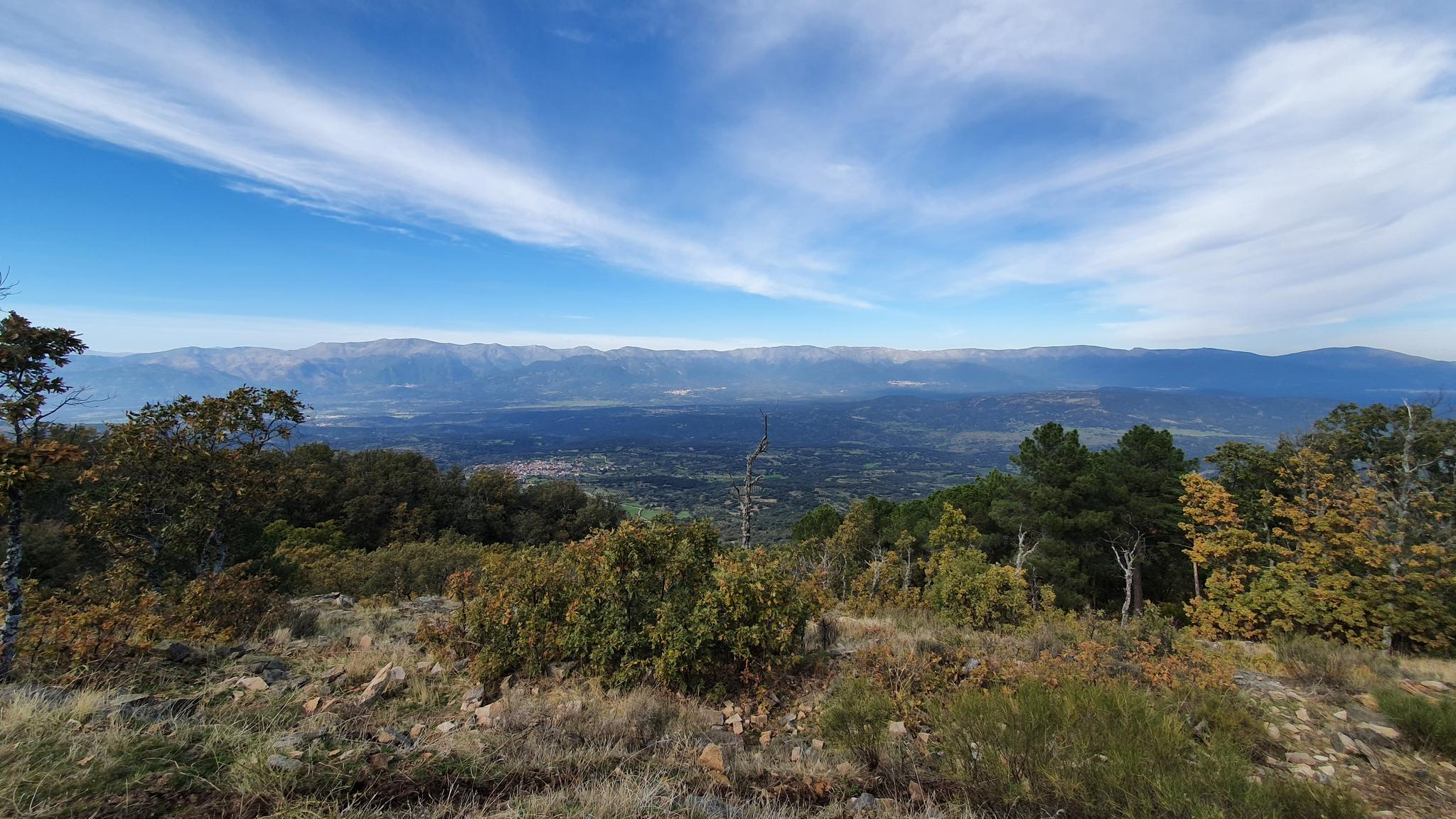
Cervera de los Montes is a town in Toledo located in the foothills of the Sierra de San Vicente mountains, in the middle of the dehesa (pasture). Its traditional town center is very well preserved and exudes a distinctly rural atmosphere.
0
0
Sotillo de las Palomas is a small rural enclave in the middle of the pastureland at the foot of the San Vicente mountain range. It was established as an independent town in the 17th century. The same century as the Church of the Immaculate Conception, which is adorned inside with a Baroque altarpiece.
0
0
At the foot of the San Vicente mountain range lies San Román de los Montes, a town whose historical importance is evident in the impressive 16th-century Roll of Justice, crowned with four dog heads, found in its historic center.
0
0
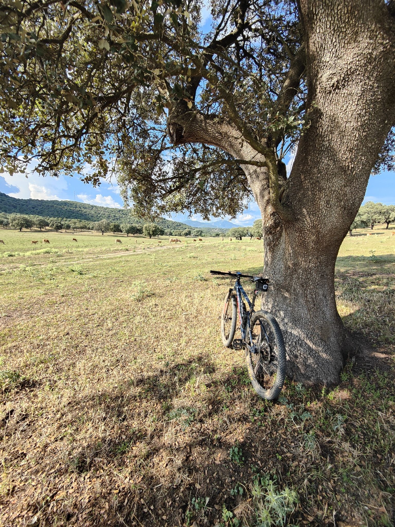
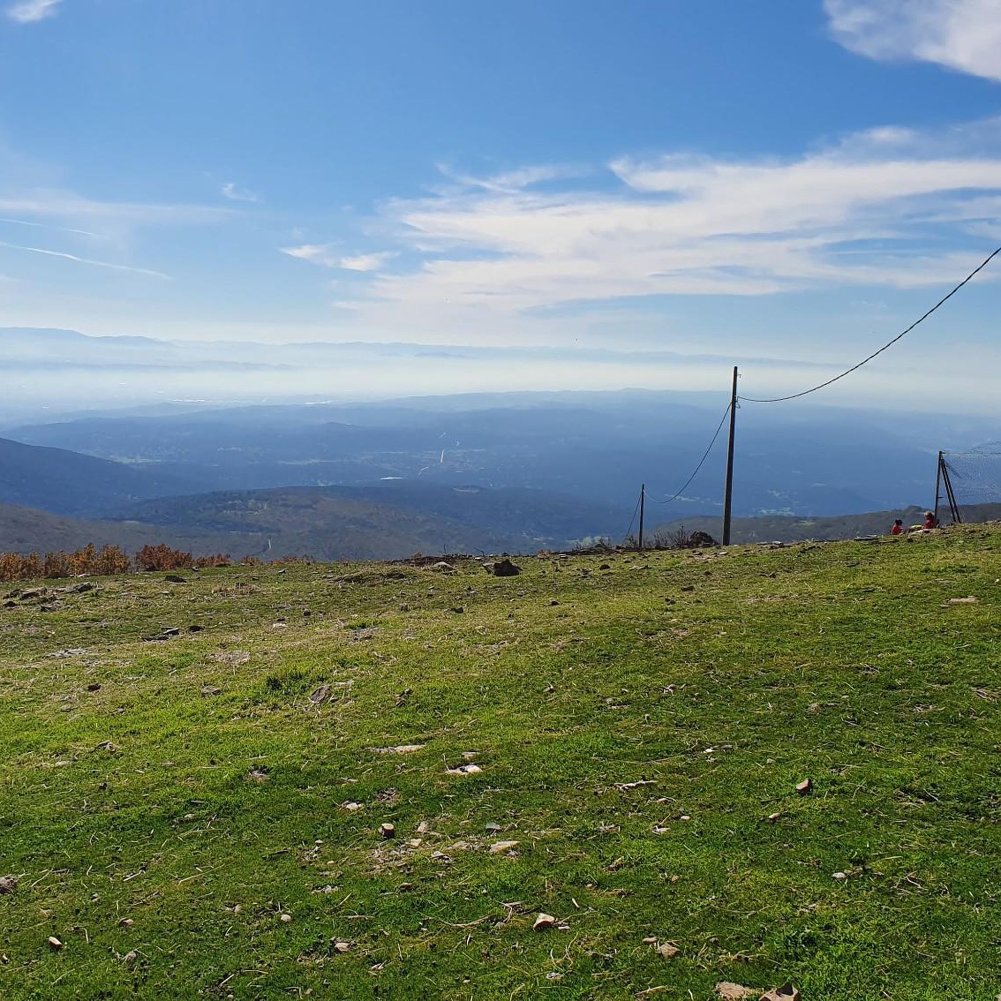
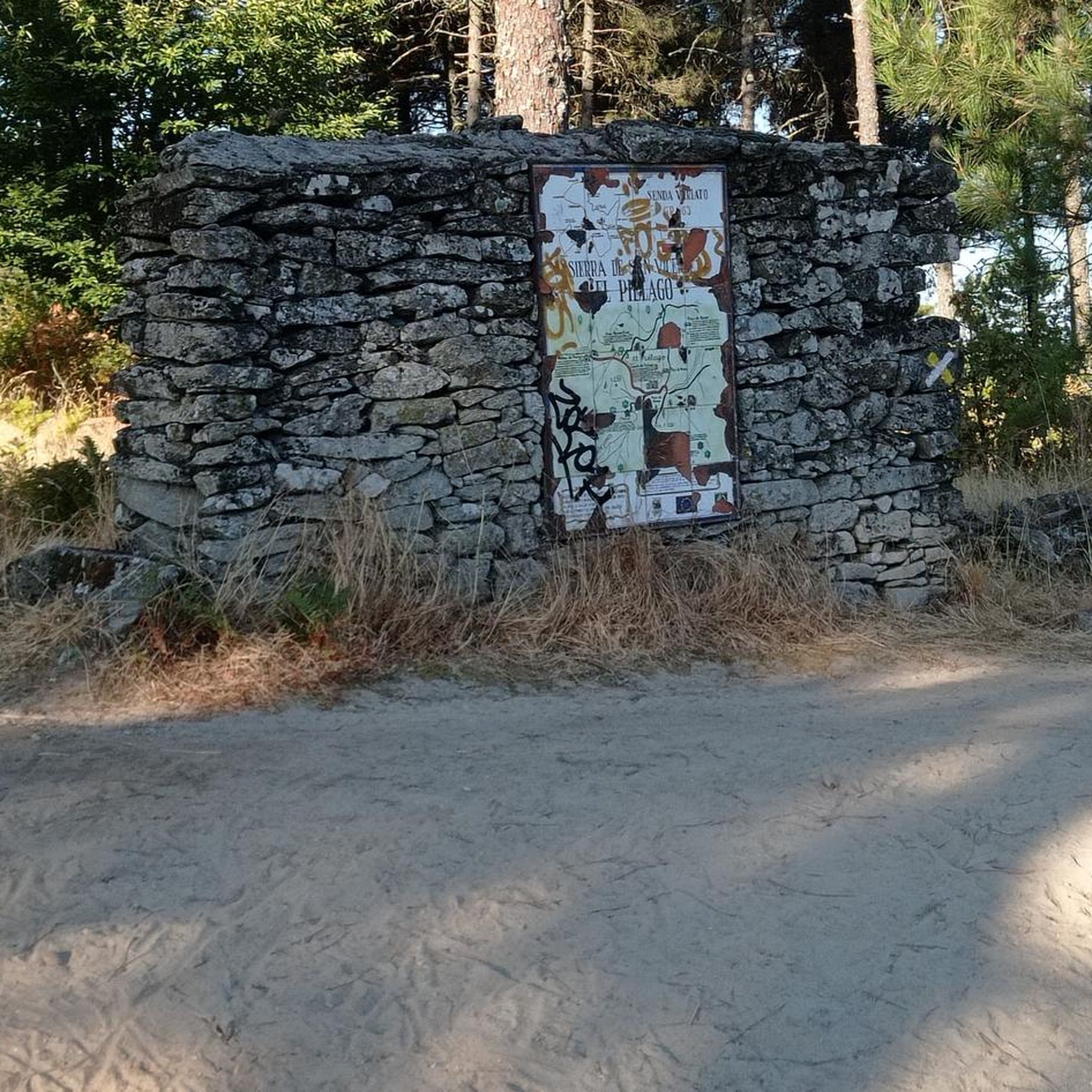
This section of the Viriato Trail (GR 63) crosses a pastureland between farms. During wet seasons, the grass covers the entire ground with its green blanket, and the holm oaks add to the bucolic feel.
0
0

Grab the handlebars tightly and move forward.
1
0

La Portiña is a small reservoir located north of Talavera de la Reina on the Portiña stream and next to the natural surroundings of the Berrocal mountain range.
1
0
La Portiña is a small water reservoir located north of Talavera de la Reina on the Portiña stream and next to the natural environment of the Berrocal mountain range.
9
0

Small, but very beautiful Talavera de la Reina reservoir. There are trails to go around it on foot or by mountain bike. The Portiña Reservoir is a suitable place to relax in the shade, eat (it has a picnic area), fish and walk along the water.
2
0
Frequently Asked Questions
How many gravel bike trails are available around Navamorcuende?
There are 6 gravel bike trails documented around Navamorcuende on komoot. These routes offer a mix of moderate and difficult experiences through the region's characteristic rolling hills and dehesa landscape.
Are there any long gravel bike routes near Navamorcuende?
Yes, for those seeking longer rides, the Ermita de San Sebastián – Path to El Marrupejo loop from Cervera de los Montes is a challenging 47.9 km (29.8 miles) route. It features significant elevation gain and takes approximately 4 hours 28 minutes to complete.
What kind of terrain can I expect on gravel bike trails in Navamorcuende?
The gravel bike trails around Navamorcuende are characterized by a mix of rolling hills, open dehesa, and rural tracks. You'll encounter unpaved surfaces through agricultural areas and sections near local reservoirs, offering varied terrain suitable for gravel bikes.
Are there any circular gravel bike trails in the area?
Most of the gravel routes around Navamorcuende are designed as loops. For example, the La Portiña Reservoir loop from Cervera de los Montes is a moderate 23.5 km (14.6 miles) circular trail that takes you around the reservoir and through the surrounding landscape.
What are some scenic viewpoints or natural attractions along the gravel routes?
Many routes offer scenic views of the dehesa landscape and rolling hills. You can also find natural attractions like the La Portiña Reservoir, which is featured on several routes. For a notable natural landmark, consider exploring near San Vicente Hill (1320m).
Are there any waterfalls to see while gravel biking near Navamorcuende?
Yes, the region features natural highlights including waterfalls. You might be able to incorporate a visit to El Chorro Waterfall or Gavilanes into your ride planning, though specific routes directly to them may vary.
What is the best time of year for gravel biking in Navamorcuende?
The best time for gravel biking in Navamorcuende is typically during spring and autumn when temperatures are milder. Summers can be hot, and winters can bring cooler, potentially wetter conditions, though the dehesa landscape offers unique beauty year-round.
Are there any moderate gravel bike trails suitable for intermediate riders?
Yes, there are several moderate options. The Cervera de los Montes – Sotillo de las Palomas loop from Cervera de los Montes is a popular moderate 28.2 km (17.5 miles) route, offering a balanced gravel experience with mixed terrain and scenic views.
What kind of historical or cultural landmarks can I explore near the gravel trails?
While gravel biking, you might encounter glimpses of rural Spanish life. For specific historical points of interest, consider visiting the Rollo de Justicia of Castillo de Bayuela, a historical monument located within the broader region.
Are there any routes that feature a significant descent?
Yes, the Dehesa Landscape – 3-Kilometer Descent loop from Cervera de los Montes is a moderate 21.8 km (13.5 miles) trail that includes a notable 3-kilometer descent, offering an exciting section within the open dehesa landscape.
What are the most challenging gravel bike trails in Navamorcuende?
For experienced riders, the Cervera de los Montes – Sotillo de las Palomas loop from Segurilla is a difficult 36.9 km (22.9 miles) trail with significant elevation gain through varied rural landscapes, taking over 3 hours to complete.
Most popular attractions around Navamorcuende

Get inspired with the komoot mobile app


Explore more
Browse the best Gravel rides in other regions.
