The best walks and hikes around Navamorcuende
4.8
(58)
429
hikers
68
hikes
Hiking around Navamorcuende offers diverse landscapes within the Sierra de San Vicente, a mountainous range characterized by scenic beauty and ecological richness. The region features prominent peaks like Cruces and San Vicente, providing panoramic views. Water bodies such as the Guadyerbas River and La Portiña Reservoir add to the natural environment, alongside varied vegetation including holm oaks and ash groves.
Best hiking trails around Navamorcuende
- The most popular hiking route is Route of the Caleros – circular from Montesclaros (PR-TO…
Last updated: June 30, 2026
4.7
(3)
6
hikers
7.18km
01:57
100m
100m
Easy hike. Great for any fitness level. Easily-accessible paths. Suitable for all skill levels.
4.5
(2)
3
hikers
21.5km
06:42
810m
810m
Hike the difficult 13.4-mile Senda de Viriato Loop from Almendral de la Cañada, gaining 2663 feet with panoramic views.

Sign up for free
10.8km
03:46
600m
600m
Moderate hike. Good fitness required. Easily-accessible paths. Suitable for all skill levels.
28
hikers
9.51km
02:42
210m
210m
Moderate hike. Good fitness required. Easily-accessible paths. Suitable for all skill levels.
5
hikers
4.23km
01:09
50m
60m
Easy hike. Great for any fitness level. Easily-accessible paths. Suitable for all skill levels.
Get access to more routes and recommendations from other explorers.
Sign up for free
Already have an account?
Our route recommendations are based on thousands of hikes, rides, and runs completed by other people on komoot.
Start today with a free account
Your next adventure awaits.
Login or Signup
Popular around Navamorcuende
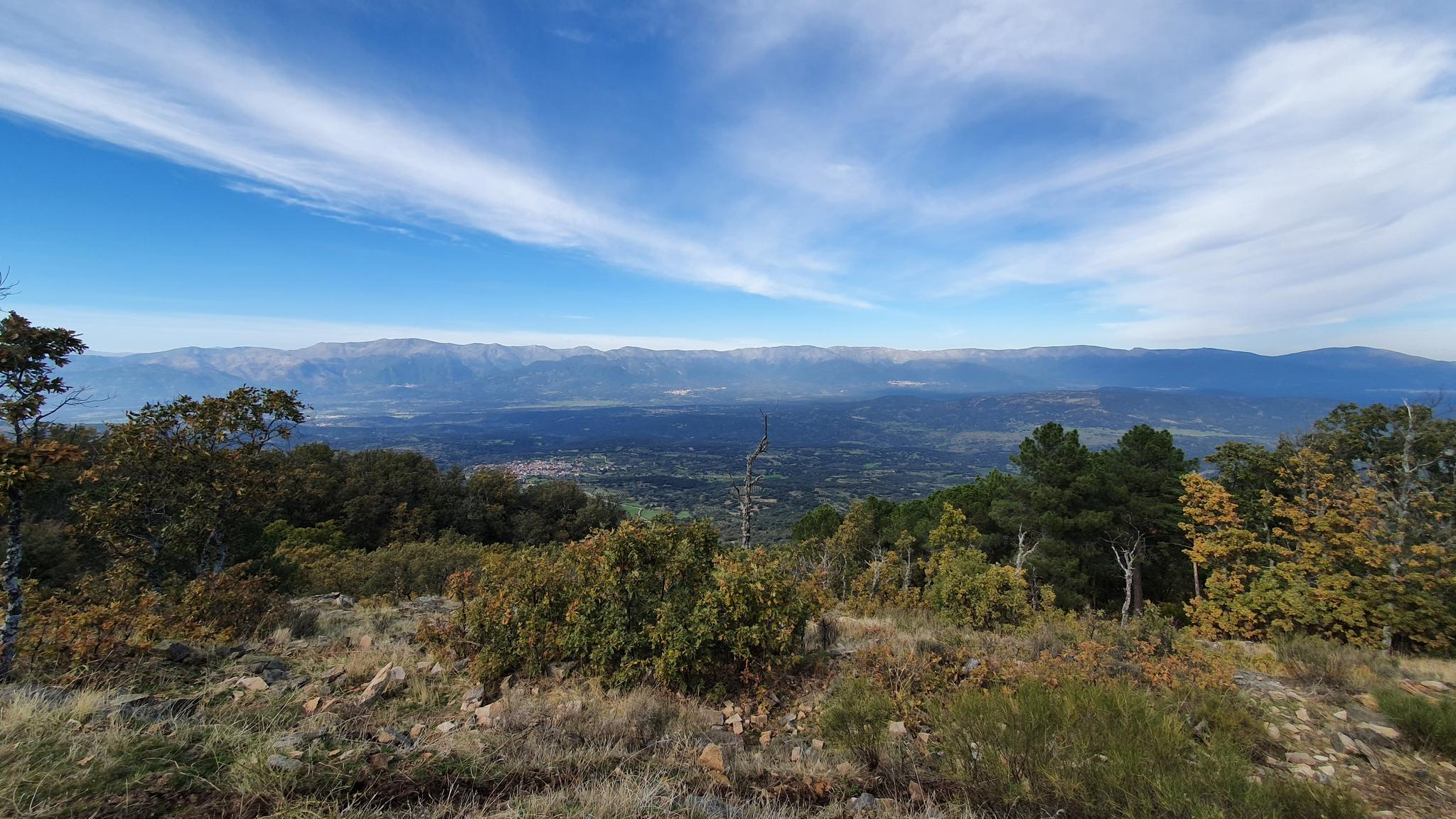
Following in the footsteps of the Lusitanian leader — Viriato Path GR 63
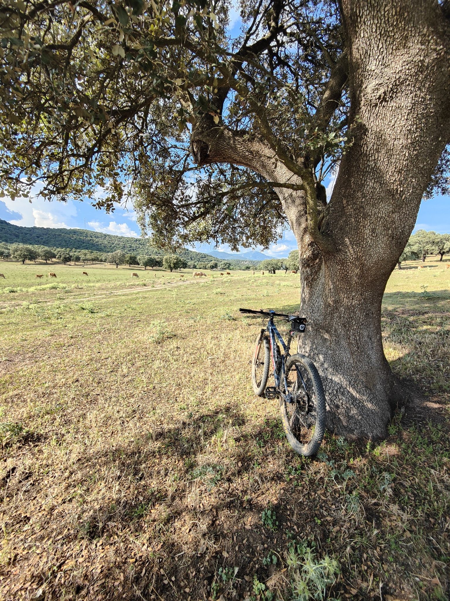
A Stronghold of Lusitania – explore the Viriato Trail on MTB
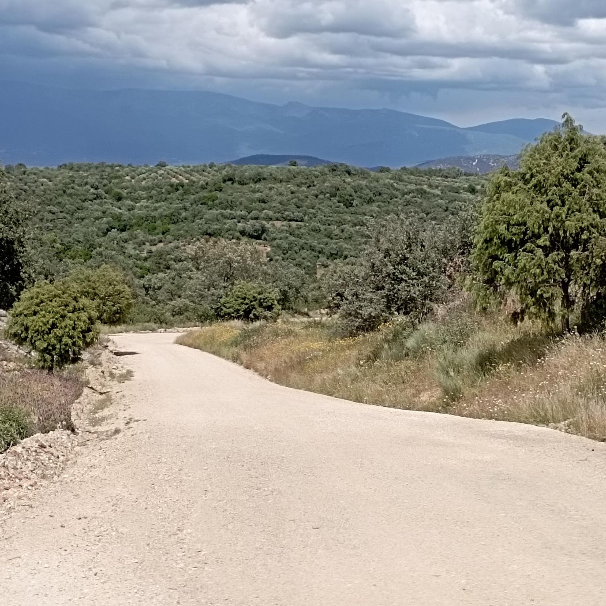
Road Cycling Routes around Navamorcuende

Running Trails around Navamorcuende
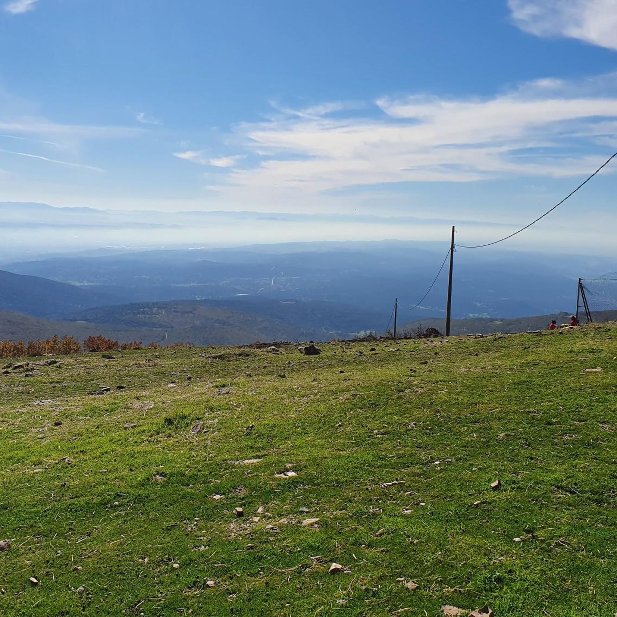
MTB Trails around Navamorcuende
Cycling around Navamorcuende

Gravel biking around Navamorcuende

Tips from the Community

This beautiful hermitage from the 16th century is built in masonry and has a masonry doorway. It was restored in 1986. For centuries it has hosted rural and traditional pilgrimages.
1
0
The port of Piélago is located at an altitude of 1,222 meters and is a classic of Toledo cycling. It is located in Real de San Vicente and is a pass between the north and south slopes of the Sierra de San Vicente. Towards the south face there are good views of the Toledo steppe.
0
0

Yes, recommended! Many old-time lime kilns for the production of lime mortar!
1
0

Square in plan, with rough-hewn ashlar walls and a semicircular arch doorway with molded imposts. The building is Renaissance XVII.
1
1

The top of Cruces at 1373 meters above sea level. It is one of the most impressive panoramic points in the Navamorcuende region. It offers beautiful views in all directions, so I recommend you take some time and enjoy the beautiful views while you recharge your batteries after the climb.
1
0
The area surrounding the town of Montesclaros is known for its marble deposits that have been exploited for its extraction. Today, many of them are no longer in use and can be visited through a beautiful landscape with lots of greenery and very picturesque surroundings.
1
0
Declared a Site of Cultural Interest, the church in the village of Navamorcuende is a building well worth a visit. Its Renaissance style stands out for its large buttresses, built in the 16th century, and the stone used takes on a distinctive hue on rainy days and in autumn.
2
0
Very close to the center of the town of Montesclaros is the hermitage of San Sebastián with an interesting history and which, in turn, is surrounded by a very green and picturesque landscape.
3
0
Frequently Asked Questions
How many hiking trails are available around Navamorcuende?
Navamorcuende offers a network of 61 hiking routes, catering to various skill levels. This includes 18 easy, 39 moderate, and 4 difficult trails, ensuring options for every hiker.
Are there any challenging hikes for experienced trekkers in Navamorcuende?
Yes, for experienced trekkers, the region offers several challenging routes. One notable option is the Senda de Viriato Loop from Almendral de la Cañada, a difficult 13.4-mile (21.5 km) path featuring significant elevation gain and panoramic views.
What kind of natural features can I expect to see on the trails?
The trails around Navamorcuende showcase the diverse landscapes of the Sierra de San Vicente. You'll find varied vegetation, including ash, willow, and alder groves along water courses, as well as holm oaks and junipers. The region is also home to the Guadyerbas River and the tranquil La Portiña Reservoir.
Are there any circular hiking routes in the area?
Yes, many routes in Navamorcuende are circular, offering convenient starting and ending points. An easy circular option is the Route of the Caleros – circular from Montesclaros (PR-TO 26), which is 4.5 miles (7.2 km) long. For a moderate challenge, consider the Sierra Cruces – circular from Navamorcuende.
What are some notable landmarks or viewpoints accessible via hiking trails?
Hikers can enjoy impressive panoramic views from peaks like Cruces and Cerro San Vicente, offering glimpses of the Sierra de Gredos and the Alto Tiétar region. The El Piélago Pass also provides excellent views of the Toledo steppe. You can also reach San Vicente Hill (1320m) on a loop from Campamento El Piélago.
Are there any family-friendly hiking options in Navamorcuende?
Yes, there are 18 easy routes suitable for families. The Route of the Caleros – circular from Montesclaros (PR-TO 26) is an excellent choice, being an easy 4.5-mile (7.2 km) trail suitable for all fitness levels.
Can I find any trails that lead to water features or natural pools?
The region is rich in water bodies. The gorges of Gavilanes and Mijares feature natural pools and waterfalls, including the highest waterfall in the community in the Chorro gorge near Gavilanes. The La Portiña Reservoir also offers a tranquil setting with trails and opportunities for fishing.
What do other hikers say about the trails in Navamorcuende?
The routes in Navamorcuende are highly rated by the komoot community, with an average score of 4.6 stars from over 50 reviews. Hikers often praise the diverse landscapes, the panoramic views from the peaks, and the variety of trails available for different abilities.
What is the best time of year to go hiking in Navamorcuende?
Navamorcuende benefits from a benign climate without extreme temperatures in winter or summer, making it appealing for year-round outdoor exploration. Spring and autumn generally offer the most comfortable conditions for hiking, with pleasant temperatures and vibrant natural scenery.
Are there any moderate hikes that offer good views?
Absolutely. The Sierra Cruces – Puerto del Piélago loop from Campamento El Piélago is a moderate 9.5 km hike that provides good fitness challenges and scenic vistas. Another moderate option is the Puerto del Piélago – San Vicente Hill (1320m) loop from Campamento El Piélago.
Are dogs allowed on the hiking trails in Navamorcuende?
While specific regulations for each trail may vary, generally, dogs are welcome on many hiking trails in natural areas like the Sierra de San Vicente, especially if kept on a leash. It's always recommended to check local signage or park rules for any specific restrictions before heading out with your pet.
Most popular attractions around Navamorcuende

Get inspired with the komoot mobile app


Explore more
Browse the best Hikes in other regions.
