The best waterfall hikes and walks around Alt Urgell
4.5
(2469)
22,916
hikers
30
hikes
Waterfall hiking trails around Alt Urgell traverse a diverse landscape characterized by imposing mountains, lush forests, and expansive meadows within the Catalan Pyrenees. The region is home to protected areas like the Cadí-Moixeró Natural Park and Alt Pirineu Natural Park, which contribute to its extensive network of trails. The River Segre flows through the county, carving valleys and adding to the scenic appeal. This varied terrain offers routes ranging from gentle paths to more challenging mountain ascents.
Best waterfall hiking…
Last updated: August 17, 2026
5.0
(4)
28
hikers
10.4km
03:57
680m
680m
Moderate hike. Good fitness required. Mostly accessible paths. Sure-footedness required.
4.9
(12)
148
hikers
Moderate hike. Good fitness required. Mostly accessible paths. Sure-footedness required.

Sign up for free
5.0
(3)
62
hikers
14.4km
04:23
500m
500m
Moderate hike. Good fitness required. Mostly accessible paths. Sure-footedness required.
4
hikers
Moderate hike. Great for any fitness level. Mostly accessible paths. Sure-footedness required.
4.8
(5)
29
hikers
3.82km
01:07
110m
110m
Easy hike. Great for any fitness level. Easily-accessible paths. Suitable for all skill levels.
Get access to more routes and recommendations from other explorers.
Sign up for free
Already have an account?
Our route recommendations are based on thousands of hikes, rides, and runs completed by other people on komoot.
Start today with a free account
Your next adventure awaits.
Login or Signup
Popular around Alt Urgell
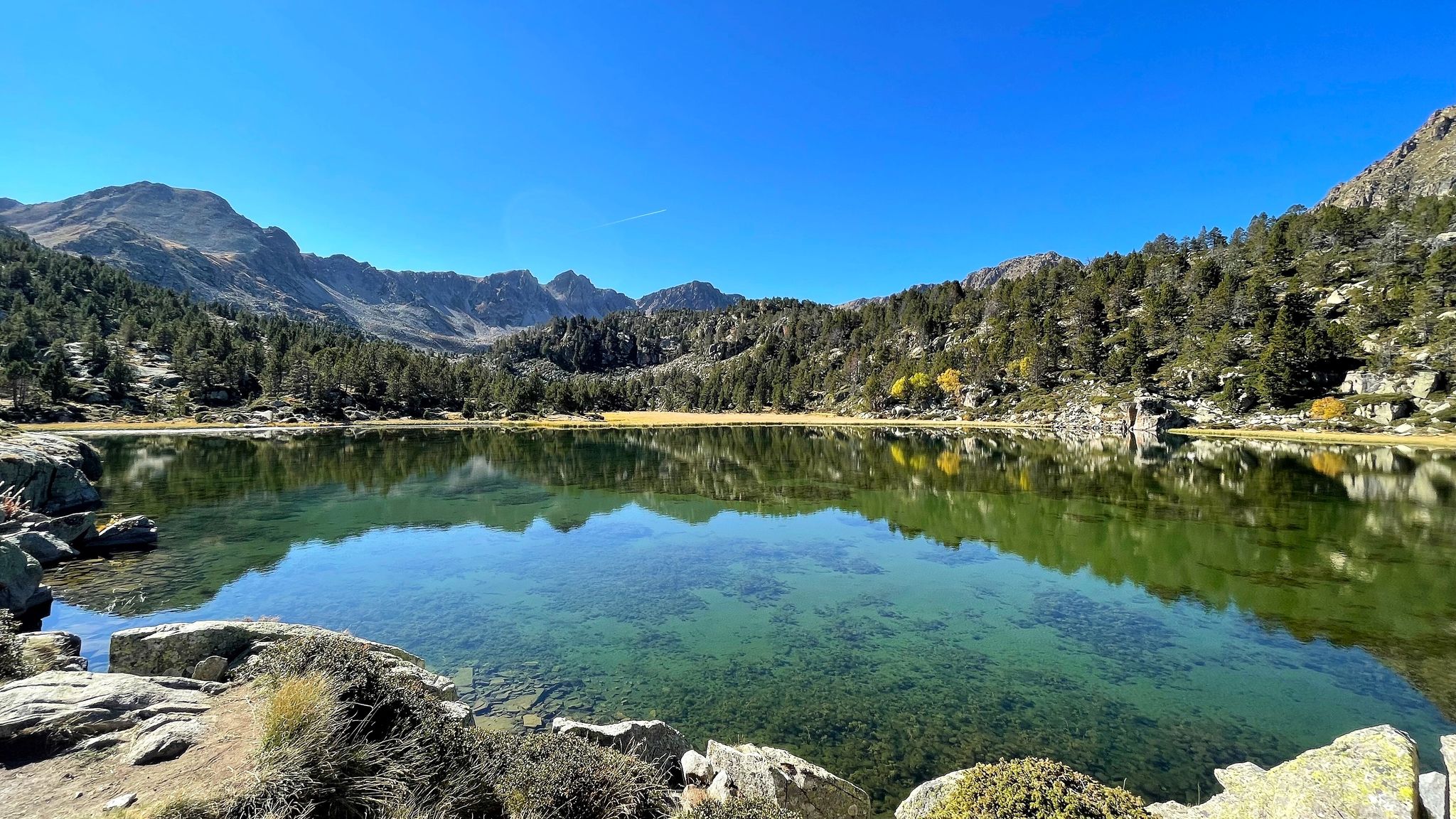
A Pyrenean experience – traversing beautiful Andorra (GR 7)
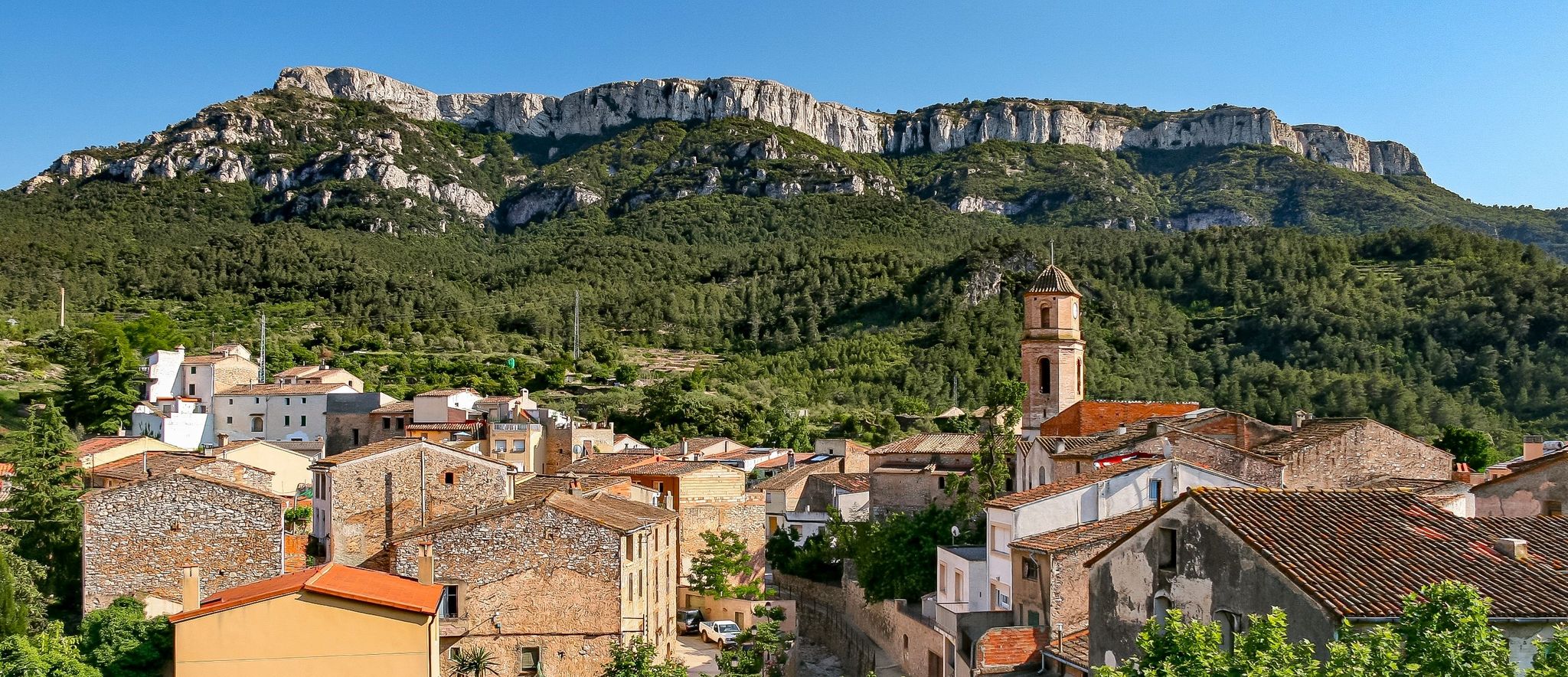
A land of contrasts – Tarragona to the Pyrenees on the GR 7
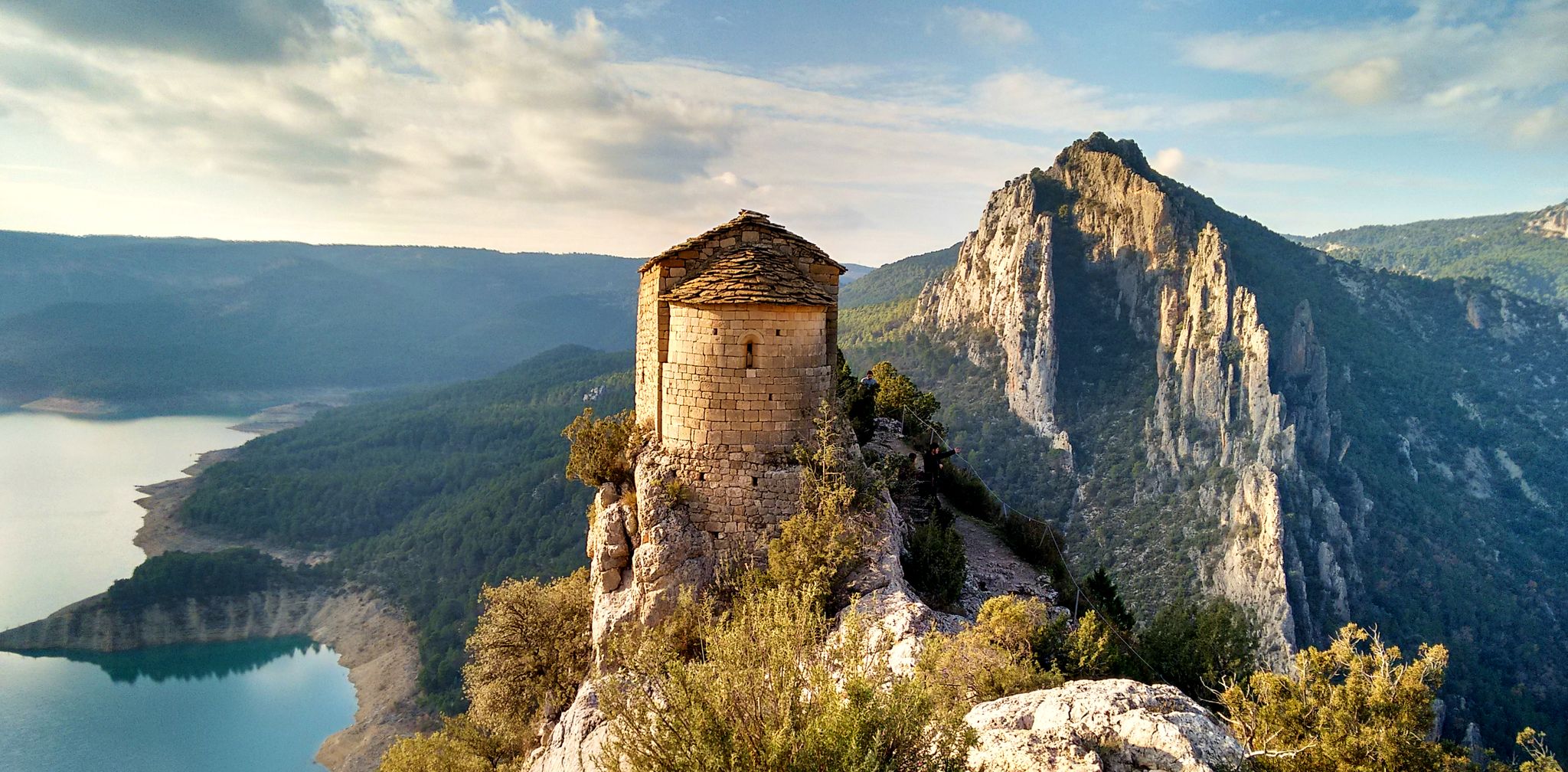
From the Mediterranean to the Pre-Pyrenees – Historical Path in Catalonia (GR 1)
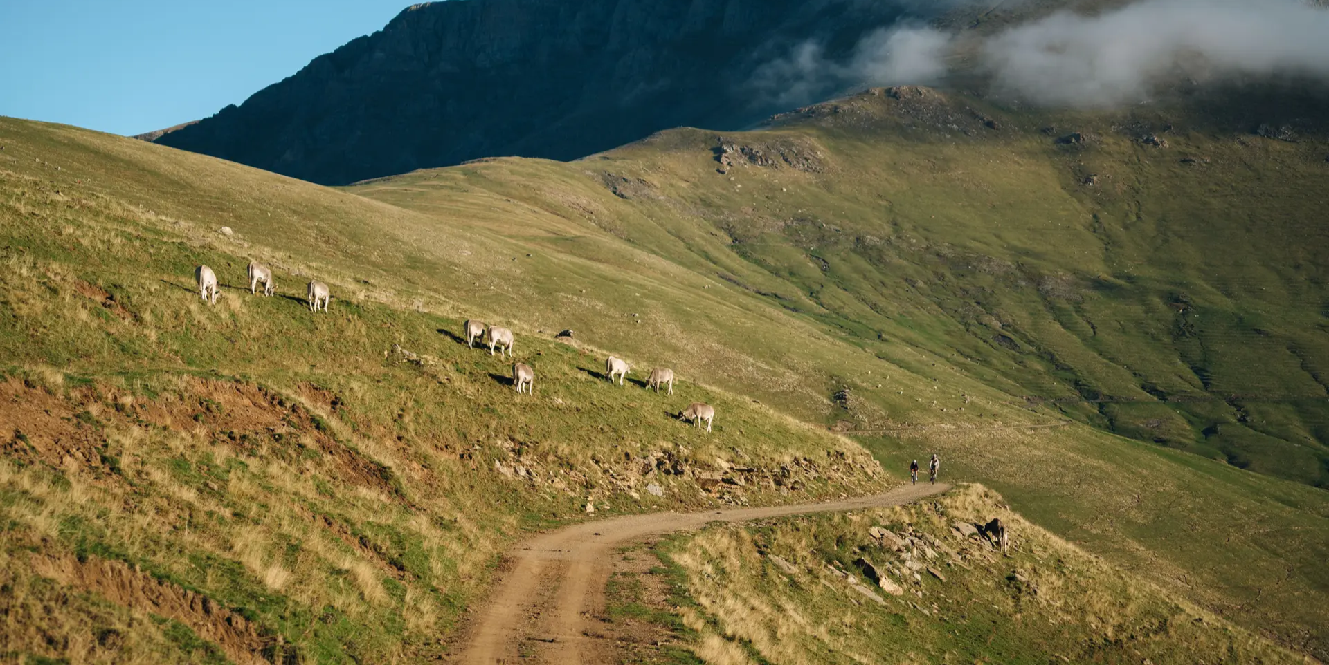
Grand Tour of Catalonia Gravel – your bikepacking adventure
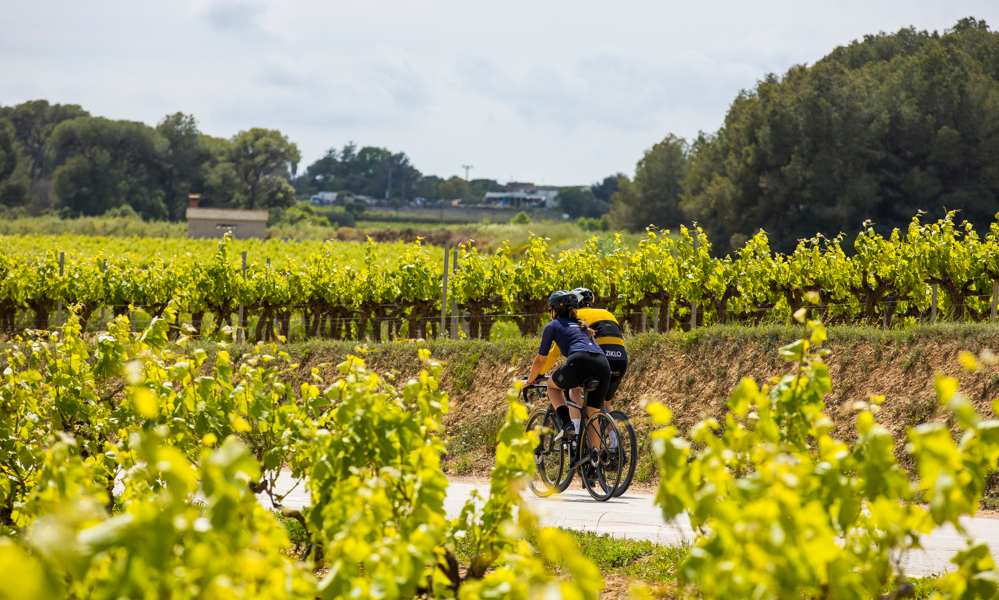
Cycling in the province of Barcelona — family routes and traverses
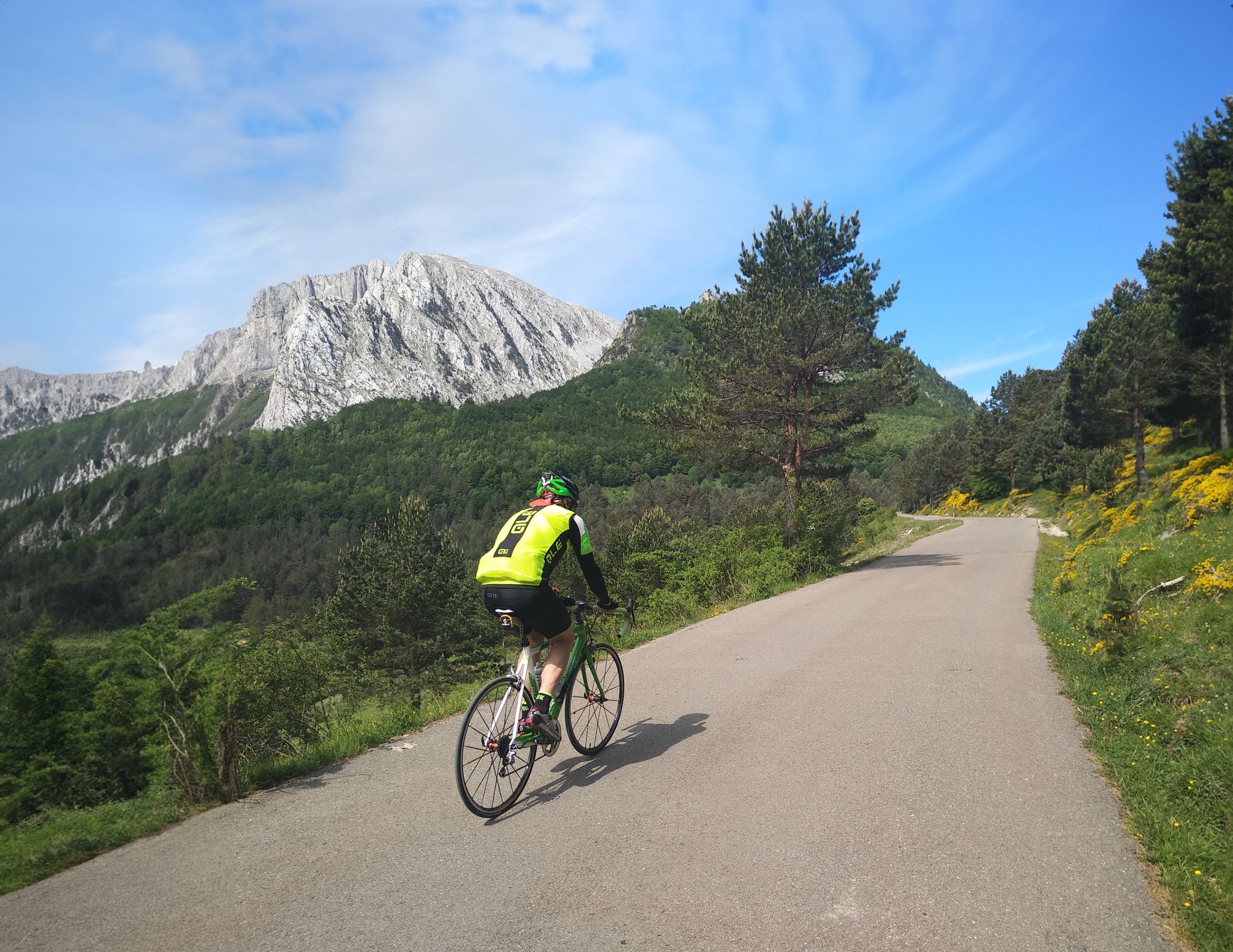
The Bay of Biscay to the Mediterranean — southern Pyrenees cycle tour
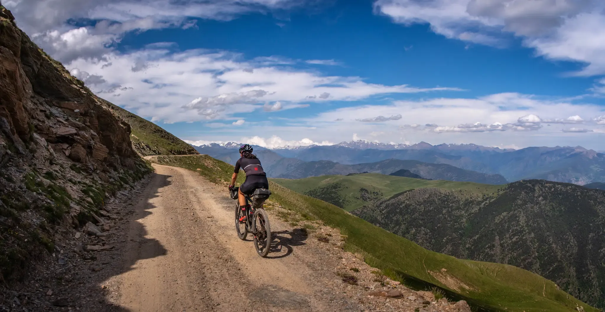
A high-altitude journey – Transpirenaica MTB
Bikepacking from La Seu d'Urgell to La Seu d'Urgell in the Tost Valley
Trans Pyrenees Race No2 – how a journey became a race
Other adventures around Alt Urgell


Tips from the Community

¿Cómo es la pista forestal? Ancho y firme: Es una pista no asfaltada de tierra y piedra. La vía transcurre principalmente entre pino negro y bosque, por lo que va resguardada durante la mayor parte del recorrido. Presencia de precipicios: No es una pista colgada sobre acantilados vertiginosos ni de caída en picado constante. No obstante, al ser una carretera de alta montaña, en algunos tramos sí hay laderas expuestas hacia el valle o curvas sin barreras de protección laterales como las que encuentras en una carretera convencional. Cruce de vehículos: Hay tramos donde la pista es algo estrecha y, si te cruzas con otro coche en sentido contrario, hay que maniobrar despacio para apartarse hacia uno de los laterales o apartaderos.
0
0

Access by private vehicle to Les Pollineres is restricted all year round via both the Lles and Aransa tracks. In Summer (August to early September): A shuttle bus operates from Fornell and the Cap del Rec refuge. Rest of the year: Motorized access is limited to authorized residents. You will have to leave your car at the Nordic ski stations (Lles or Aransa) and walk, which increases the duration and elevation gain of the route. The ideal way is to go up by mountain bike or gravel bike from Martinet.
1
0
La Font de les Pollineres is a recreational area and mountain refuge located at an altitude of 2,100 meters in Lles de Cerdanya (Lleida). It is the main and most accessible starting point for the popular family excursion to Estanys de la Pera, a route of about 4 km (round trip) and 211 m of elevation gain.
0
0

One of the most magical places in the eastern Pyrenees, surrounded by alpine meadows, fir trees, and the two lakes that give it its name. At almost 2,350 meters above sea level, the refuge offers food, accommodation, and postcard-perfect views. It's a gateway to the Perafita pass and the cross-border routes with Andorra. By mountain bike, the climb from Cap del Rec is demanding but spectacular: a wide track, rocky sections, and sustained gradients. The best approach is to take it easy, maintain a steady cadence, and savor the final reward: the reflection of the mountains in the lakes, with the sound of the wind and cows as your only companions.
0
0

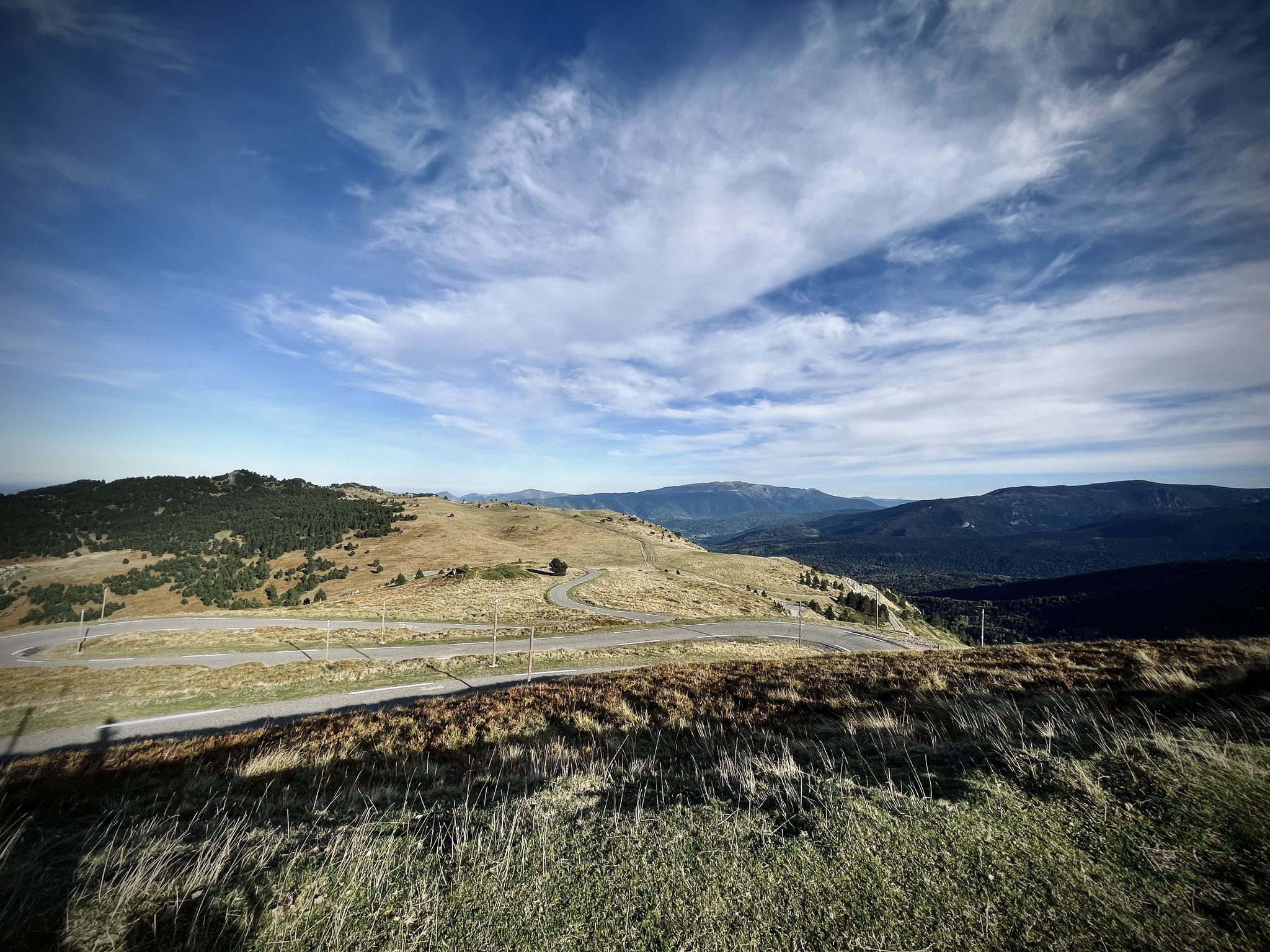
The views of the northern slope of the Cadí mountain range, although distant, are impressive.
0
0

Rising at an altitude of 2,357 m, the Estanys de la Pera shelter is located on the southern slope of the port of Perafita, next to the Estanys de la Pera. The facility, inaugurated in 1957, is a crossing point for the GR 11.10, one of the variants of the trans-Pyrenean trail par excellence, which connects Cerdanya with the Principality of Andorra. The building follows the same architectural pattern as the Sant Jordi and Serra d'Ensija refuges, with an entrance door for the three facilities. It is an ideal place for hiking in the summer and downhill skiing and snowshoeing in the winter, with mountain profiles that are mostly quite rounded, ideal for practicing 'this mountain discipline. Summer is an ideal time to go there with children, as access is quite quick and easy. SERVICES AT THE SHELTER: - Shower with hot water - Biomass stove - Internet (with usage restrictions) - Blankets - Food and drinks - toilet MATERIAL IN THE ABSENCE OF THE GUARD: 4 seats, 2 mattresses, 1 table, 1 bench, 1 wood stove and firewood. light
0
0
At an altitude of 2,357 m, the Estanys de la Pera refuge is located on the southern slope of the Perafita pass, next to the Pera lakes. The facility, inaugurated in 1957, is a crossing point for the GR 11.10, one of the variants of the great trans-Pyrenean trail par excellence, which connects Cerdanya with the Principality of Andorra. The building follows the same architectural pattern as the Sant Jordi and Serra d’Ensija refuges, with one entrance for all three facilities. It is an ideal place for hiking in the summer and ski mountaineering and snowshoeing in the winter, with mostly quite rounded mountain profiles, ideal for practicing this mountain discipline. Summer is an ideal time to go there with children, as access is quite quick and easy. SERVICES AT THE SHELTER: - Shower with hot water - Biomass stove - Internet (with restrictions on use) - Blankets - Food and drinks - Toilet EQUIPMENT IN THE ABSENCE OF THE GUARD: 4 seats, 2 mattresses, 1 table, 1 bench, 1 wood stove and wood for a fire. Light.
1
0

Located at 2760 meters of altitude.
1
0
Frequently Asked Questions
How many waterfall hiking trails are available in Alt Urgell?
Alt Urgell offers a good selection of waterfall hikes, with nearly 30 routes specifically featuring waterfalls. These trails range in difficulty from easy strolls to more challenging mountain paths, ensuring options for various fitness levels.
Are there any easy waterfall hikes suitable for families or beginners?
Yes, Alt Urgell has several easy waterfall hikes perfect for families or those new to hiking. For instance, the Rocky Outcrop – Great Waterfall loop from la Vansa i Fórnols is an easy 3.7 km path with gentle elevation changes, making it a great choice for a relaxed outing.
What kind of natural features and landmarks can I expect to see on waterfall hikes in Alt Urgell?
Beyond the waterfalls themselves, hikes in Alt Urgell often lead through diverse landscapes including lush forests, expansive meadows, and imposing mountains. You might encounter significant mountain passes like Port del Cantó or Coll de Port, offering breathtaking vistas. Higher altitude routes can reveal stunning peaks such as Pedró dels Quatre Batlles, providing spectacular photo opportunities.
What is the best time of year to visit Alt Urgell for waterfall hiking?
The best time to visit Alt Urgell for waterfall hiking is generally during spring and early summer. Following the snowmelt, waterfalls are at their most powerful and impressive. Autumn also offers beautiful scenery with changing foliage, though water levels might be lower. Summers can be warm, making higher-altitude trails more comfortable, while winters may present snow and ice, requiring appropriate gear and caution.
Are there any circular waterfall routes in Alt Urgell?
Yes, many of the waterfall trails in Alt Urgell are designed as circular routes, allowing you to experience varied scenery without retracing your steps. An example is the Rocky Outcrop – Great Waterfall loop from la Vansa i Fórnols, which offers a complete circuit back to your starting point.
Can I bring my dog on waterfall hikes in Alt Urgell?
Alt Urgell is generally dog-friendly, and many trails within the region welcome dogs. However, it's always advisable to check specific park regulations, especially within protected areas like Cadí-Moixeró Natural Park or Alt Pirineu Natural Park, where dogs might need to be kept on a leash to protect wildlife. Ensure your dog is well-behaved and that you clean up after them.
What do other hikers say about the waterfall trails in Alt Urgell?
The waterfall trails in Alt Urgell are highly regarded by the komoot community, boasting an average rating of 4.6 stars from over 350 reviews. Hikers frequently praise the region's stunning natural beauty, the variety of trails, and the refreshing experience of discovering its cascades.
Are there any moderate waterfall hikes for more experienced hikers?
Absolutely. For those seeking a moderate challenge, the Estany de la Pera loop from Estació d'esquí nòrdic d'Aransa is a great option. This 14.3 km route involves a moderate ascent and descent, leading through beautiful landscapes that may feature smaller cascades or streams feeding into glacial lakes.
Where can I find parking for waterfall hikes in Alt Urgell?
Parking availability varies by trailhead. For popular routes, designated parking areas are often provided near the starting points. For example, trails originating from villages like La Vansa i Fórnols or near natural park entrances usually have facilities. It's recommended to check specific route details on komoot for parking information before you set out.
Are there any amenities like cafes or accommodation near the waterfall trails?
Yes, Alt Urgell has several towns and villages that offer amenities. La Seu d'Urgell, as the regional capital, provides a wide range of cafes, restaurants, and accommodation options. Smaller villages closer to specific trailheads, such as Organyà or La Vansa i Fórnols, may have more limited but charming local establishments. It's a good idea to plan your stops in advance.
What is the typical duration for waterfall hikes in Alt Urgell?
The duration of waterfall hikes in Alt Urgell varies significantly based on the trail's length and difficulty. Easy routes, like the 3.7 km Rocky Outcrop – Great Waterfall loop, can be completed in just over an hour. More moderate trails, such as the 12.9 km Estany de la Pera – Estany Gran de la Pera loop, might take around 4 hours, not including stops.
Are there any specific permits required for hiking in Alt Urgell's natural parks?
Generally, day hiking on established trails in Alt Urgell's natural parks, such as Cadí-Moixeró and Alt Pirineu, does not require specific permits. However, if you plan to engage in activities like wild camping or access certain restricted areas, it's always best to check with the respective park authorities for any necessary permissions or regulations. You can find more general information about the region at visitpirineus.com.
Most popular routes around Alt Urgell
Most popular attractions around Alt Urgell

Get inspired with the komoot mobile app


Explore more
Browse the best Hikes in other regions.
