The best walks and hikes around Alt Urgell
4.6
(2167)
20,465
hikers
138
hikes
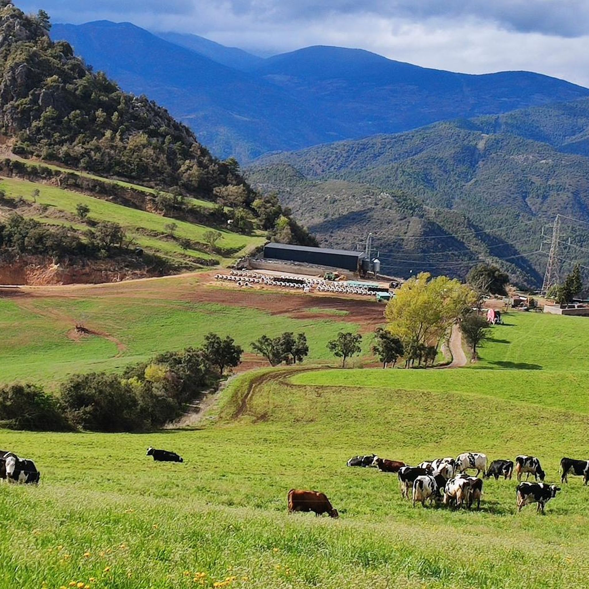
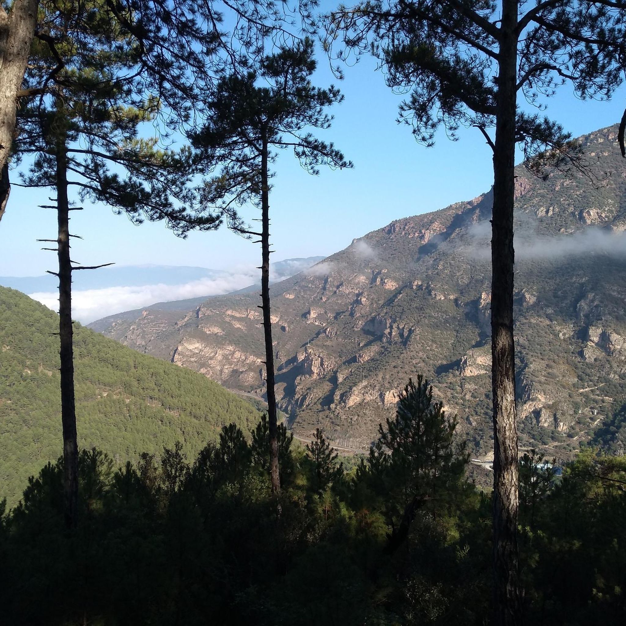
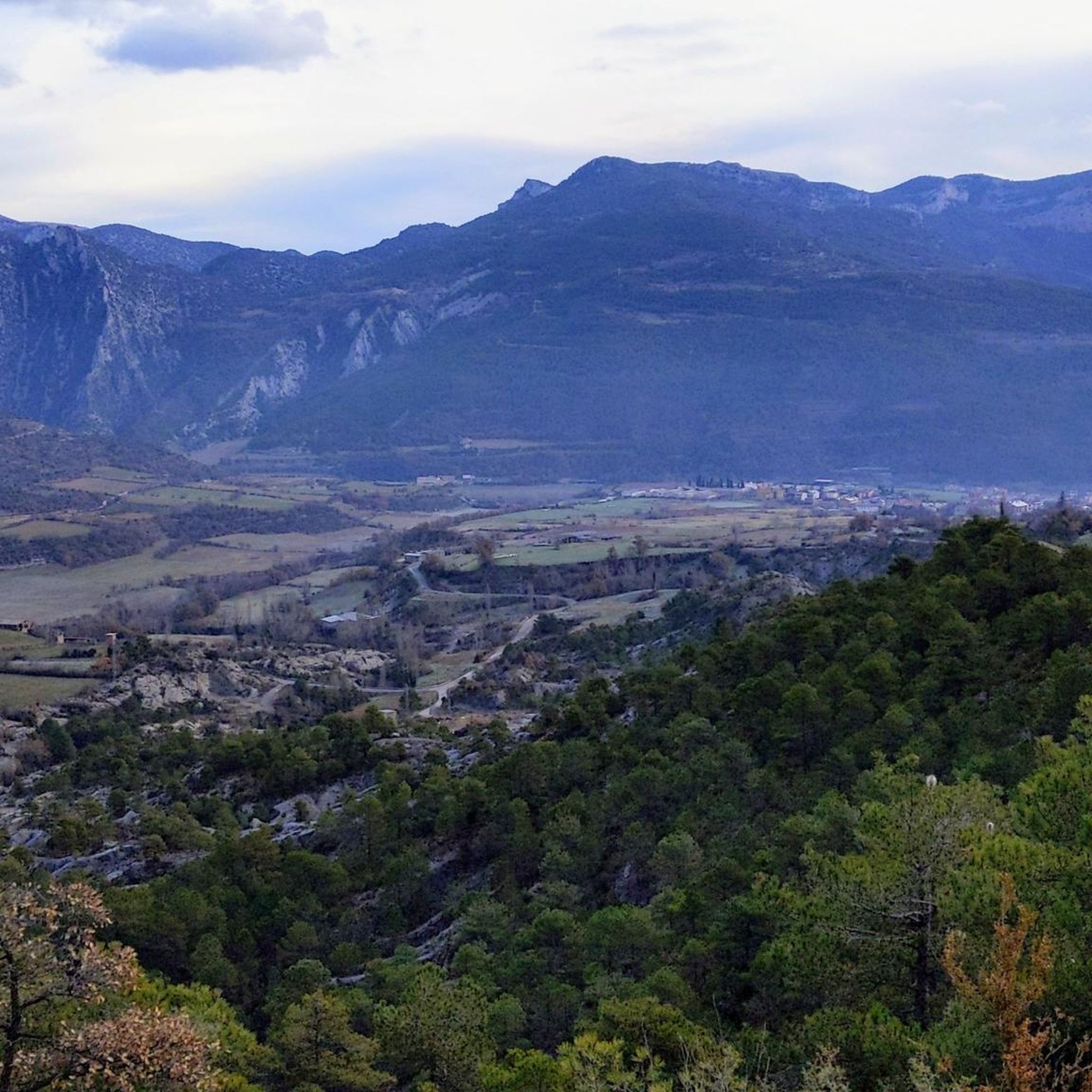
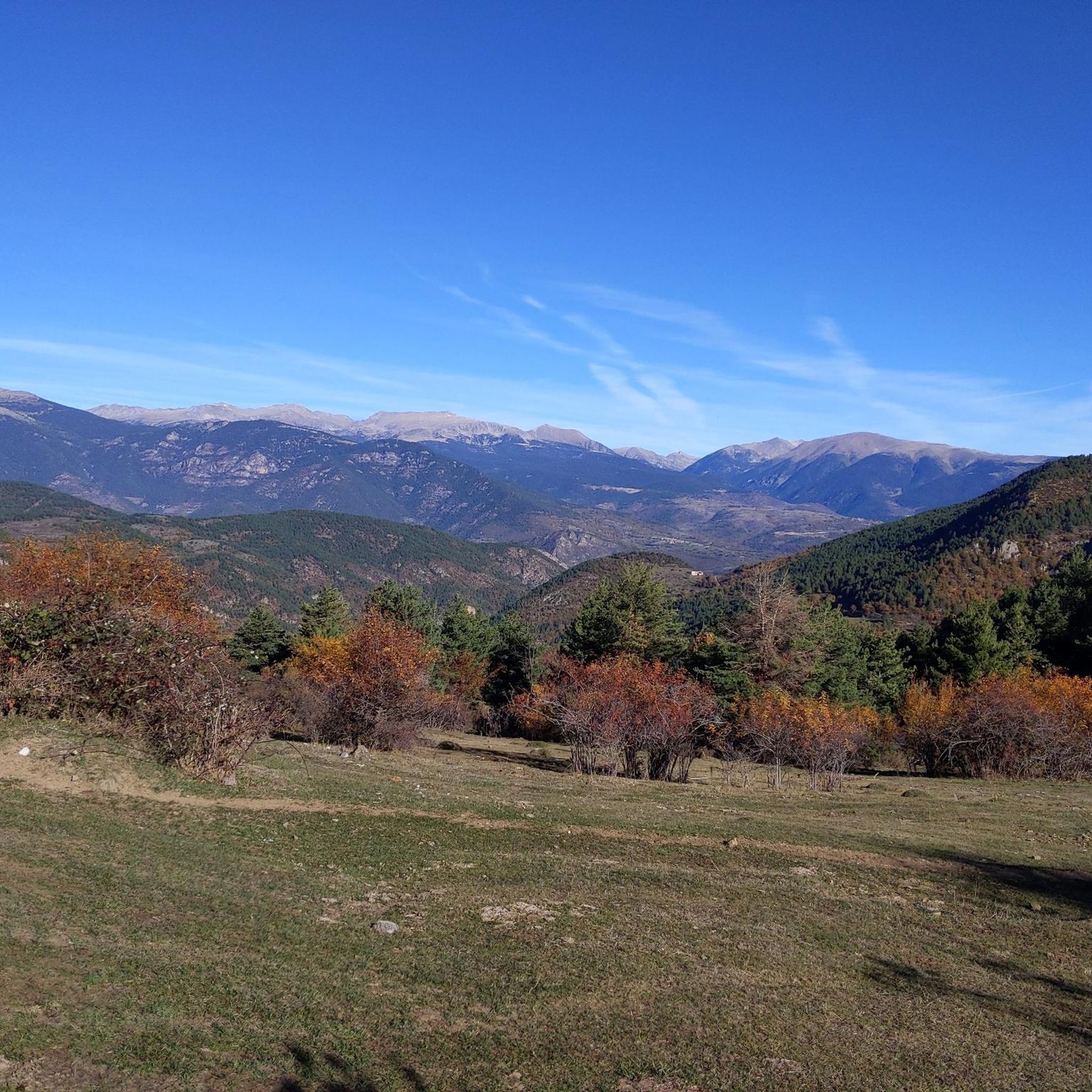
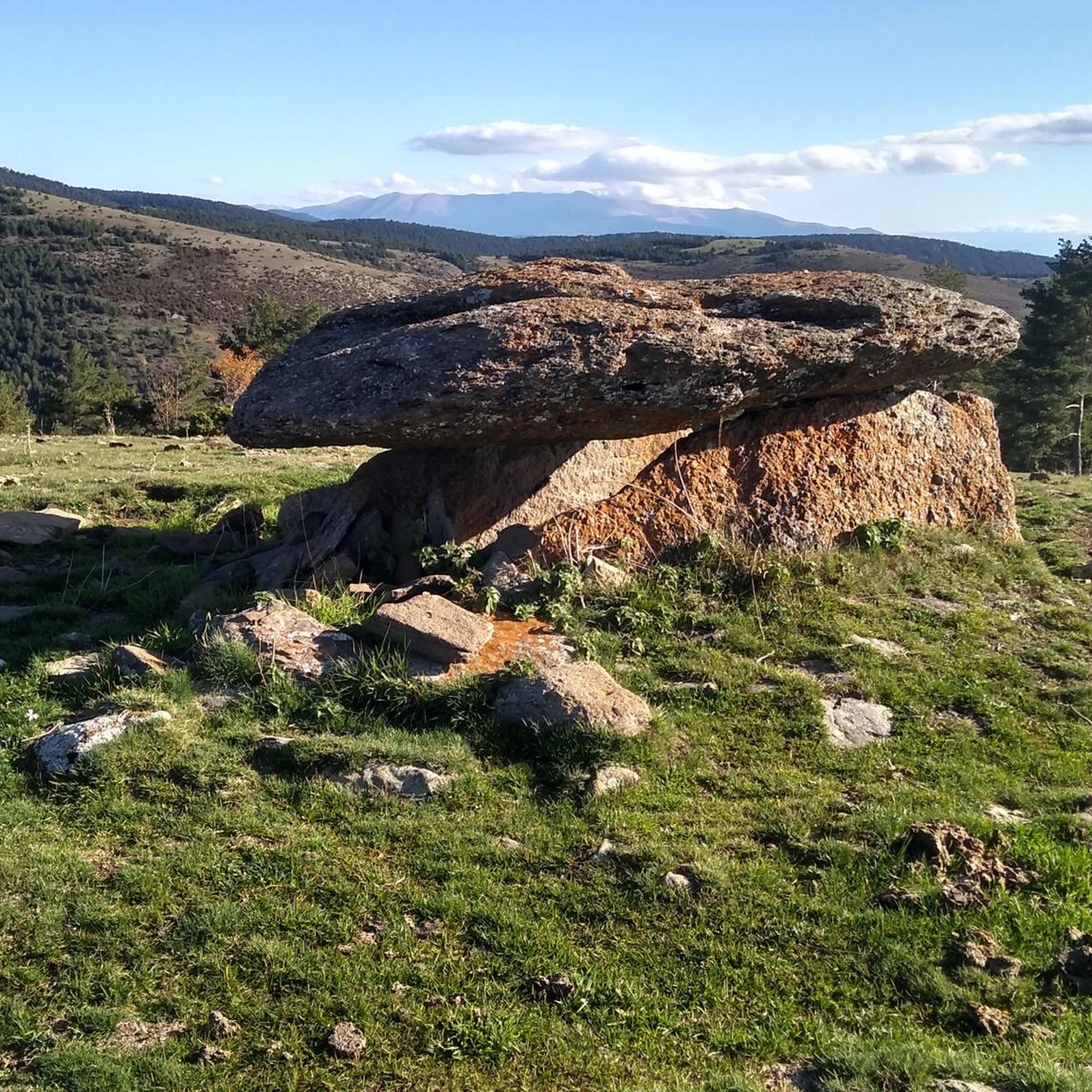
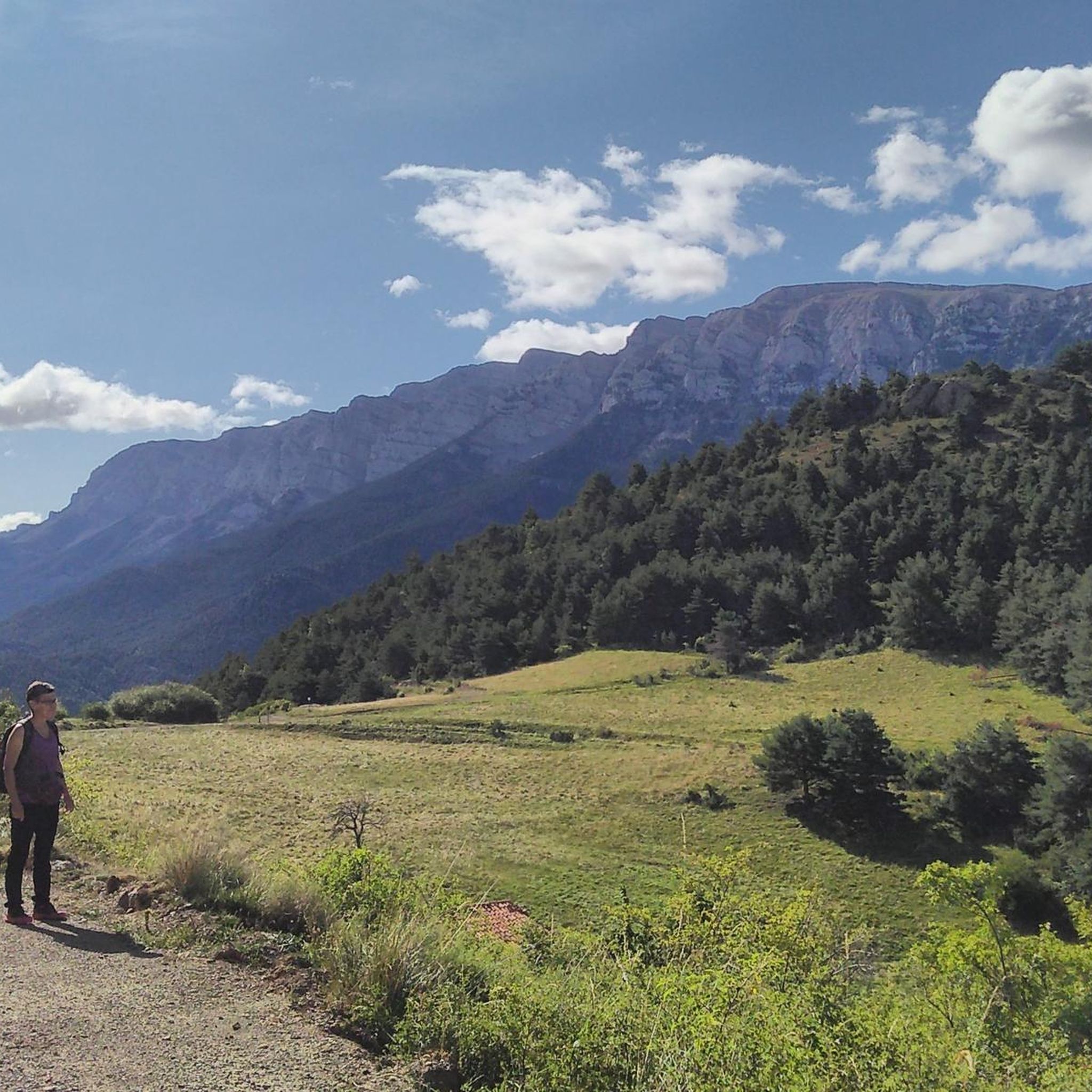
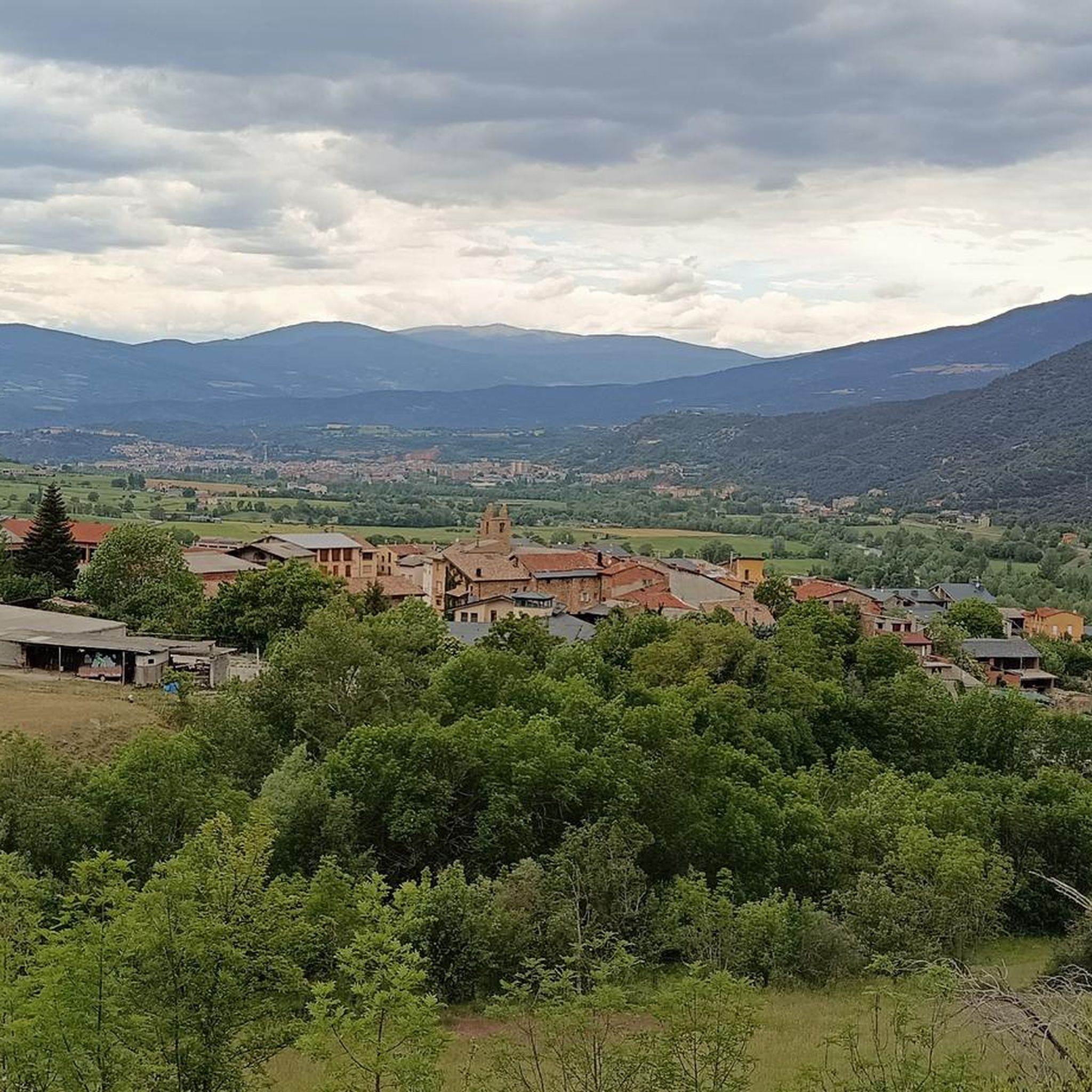
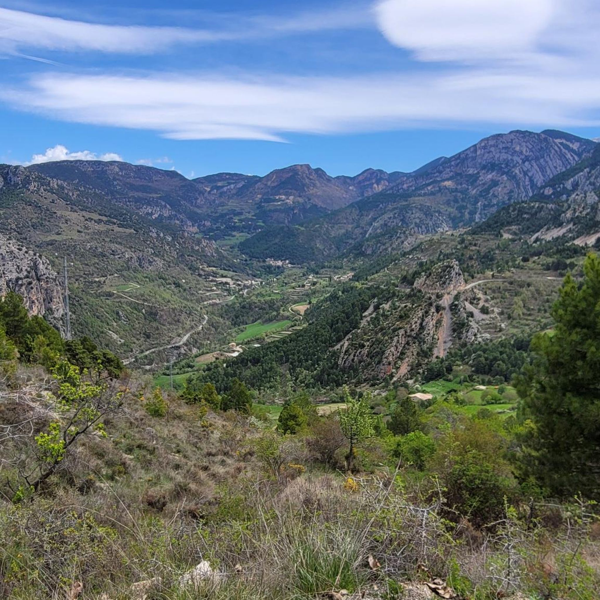
Hiking around Alt Urgell offers diverse landscapes within the Catalan Pyrenees, characterized by high mountain scenery, lush valleys, and dramatic rock formations. The region is bordered by the Alt Pirineu Natural Park and the Cadí-Moixeró Natural Park, which protect extensive forests, meadows, and riverine landscapes shaped by the River Segre. Hikers can explore impressive mountain ranges like Aubenç and enjoy views of the Cadí mountain range, providing varied terrain from gentle river paths to challenging alpine ascents.
Best hiking trails…
Last updated: July 7, 2026
4.5
(8)
76
hikers
10.4km
03:39
580m
590m
Moderate hike. Good fitness required. Mostly accessible paths. Sure-footedness required.
4.7
(16)
67
hikers
5.29km
01:29
100m
100m
Hike the easy 3.3-mile Fontanet Ponds — Organya trail, featuring picturesque river scenery, the deep Fontanet Ponds, and the Waterfalls of O

Sign up for free
4.7
(13)
62
hikers
9.34km
02:57
340m
340m
Hike the moderate 5.8-mile PR-C 62 circular trail near La Seu d'Urgell, offering panoramic views and medieval heritage.
4.3
(3)
14
hikers
7.01km
02:47
540m
540m
Moderate hike. Good fitness required. Easily-accessible paths. Suitable for all skill levels.
5.0
(1)
16
hikers
13.6km
06:10
1,070m
1,070m
Hard hike. Very good fitness required. Mostly accessible paths. Sure-footedness required.
8
hikers
12.4km
05:08
1,020m
1,020m
Hike the difficult Pic d'Enclar and Bony de la Pica Loop from Os de Civís, gaining 3363 feet over 7.7 miles with panoramic Pyrenean views.
4.1
(15)
106
hikers
10.5km
02:42
50m
50m
Moderate hike. Good fitness required. Easily-accessible paths. Suitable for all skill levels.
4.7
(11)
41
hikers
11.1km
03:30
430m
440m
Moderate hike. Good fitness required. Easily-accessible paths. Suitable for all skill levels.
4.4
(7)
44
hikers
8.86km
03:14
530m
530m
Moderate hike. Good fitness required. Easily-accessible paths. Suitable for all skill levels.
4.8
(5)
49
hikers
Moderate hike. Good fitness required. Easily-accessible paths. Suitable for all skill levels.
Get access to more routes and recommendations from other explorers.
Sign up for free
Already have an account?
Our route recommendations are based on thousands of hikes, rides, and runs completed by other people on komoot.
Start today with a free account
Your next adventure awaits.
Login or Signup
Other adventures around Alt Urgell


Tips from the Community

A jewel of Catalan Romanesque architecture and one of the most impressive in the Pyrenees. Its austere façade, stone cloister and the silence of the interior convey history and serenity in equal parts. Located in the heart of La Seu, surrounded by lively streets, terraces and shops. By mountain bike, it is a perfect cultural stop before or after a route through the Cadí or Segre: there are bike parking spaces nearby and fountains to fill your tank. Tip: avoid peak hours and get there early or at dusk, when the light caresses the stone and the atmosphere is pure charm.
0
0

The pass summit has been reached. The climb is pleasant!
1
0
The pass summit has been reached
0
0

We went on a Sunday, and there weren't many people. It's recommended to pack flip-flops in your backpack to wear in the water, as there are a lot of rocks. The water is warm, very pleasant for a swim. You can leave your car in the village and start the route from there.
1
0


The Conflent Pass is an extraordinary natural viewpoint from which we can enjoy wonderful views. From the pass, if we follow the trail down towards the Santa Magdalena Valley (E), we would reach the Conflent huts, a place steeped in legends of smugglers and fugitives. Curiously, these huts are unique in that they are one of the few groups of Pyrenean huts that have a chapel. Also, near the Conflent Pass, we can visit two machine-gun nests. They are two of the many bunkers built by the Franco government at the end of the Spanish Civil War to combat the incursions of the Maquis. These bunkers are part of the so-called "Pyrenees Line," a group of nearly 10,000 fortifications and bunkers spread from Cap de Creus to the Basque Country.
0
0
Poblar de Segur, the pass on the marked beautiful route
0
0

To see what the path to the sanctuary is like https://www.youtube.com/watch?v=-j4eRsVb5nQ&t=2s
0
0
Frequently Asked Questions
How many hiking trails are available in Alt Urgell?
Alt Urgell boasts an extensive network of over 130 hiking routes, catering to all levels of experience. These trails range from leisurely strolls through river valleys to challenging alpine ascents in the Pyrenees.
Are there easy hiking trails suitable for beginners or families in Alt Urgell?
Yes, Alt Urgell offers more than 35 easy hiking trails perfect for beginners or families. A great option is the Organyà to Fontanet Ponds Trail, an easy 3.3-mile (5.3 km) path that provides a gentle walk through natural surroundings.
What kind of landscapes can I expect to see while hiking in Alt Urgell?
Hikers in Alt Urgell will encounter incredibly diverse landscapes, from high mountain scenery and dramatic rock formations to lush valleys and extensive forests. The region is bordered by the Alt Pirineu Natural Park and the Cadí-Moixeró Natural Park, offering views of the majestic Cadí mountain range and riverine landscapes shaped by the Segre River.
Are there any circular hiking routes in Alt Urgell?
Yes, many trails in Alt Urgell are circular, allowing you to start and end at the same point. An example is the La Seu d'Urgell and Calbinyà Loop Trail, which takes you through river valleys and past historic sites. For a more challenging option, consider the Pico de Saloria - Circular Route in the Alto Pirineo Natural Park.
What are some notable natural attractions or landmarks to explore along the trails?
Alt Urgell's trails often lead to stunning natural and historical landmarks. You can find impressive mountain passes like Port del Cantó (1,721 m) and Coll de Port, or peaks offering panoramic views such as Pedró dels Quatre Batlles (2,383 m). The region also features unique geological formations and occasional waterfalls.
What do other hikers enjoy most about hiking in Alt Urgell?
The hiking routes in Alt Urgell are highly rated by the komoot community, with an average score of 4.6 stars from over 350 reviews. Hikers frequently praise the diverse terrain, from gentle river paths to challenging alpine ascents, and the stunning natural beauty found within the Alt Pirineu and Cadí-Moixeró Natural Parks.
Are there any long-distance hiking trails in the Alt Urgell region?
Yes, Alt Urgell is traversed by several long-distance paths, including sections of GR-1, GR-7, GR-150, and GR-107.3. These routes offer opportunities for multi-day treks through varied terrain and connect to broader networks across the Pyrenees.
Is it possible to hike in Alt Urgell during winter?
While many trails are accessible year-round, winter hiking in Alt Urgell, especially in higher elevations, requires appropriate gear and experience due to snow and colder conditions. The region offers Nordic skiing in winter, and some lower-altitude trails may still be enjoyable for hiking, but always check local conditions and forecasts.
Are there any trails that lead to historical or cultural sites?
Absolutely. Many trails in Alt Urgell weave through areas rich in history and culture. For instance, the Route of the Raven and Hermitage of San Honorat leads to a historic hermitage. Other routes may pass through uninhabited villages with historical significance or feature Romanesque architecture, offering glimpses into the region's heritage.
Are there specific parking facilities available at trailheads?
While specific parking details vary by trailhead, many popular hiking routes in Alt Urgell, especially those near towns or natural parks, typically have designated parking areas. It's advisable to check route descriptions on komoot for specific parking information before you go.
What is the best time of year to go hiking in Alt Urgell?
The best time to hike in Alt Urgell largely depends on the type of experience you seek. Spring and autumn offer pleasant temperatures and vibrant landscapes, with wildflowers in spring and rich colors in autumn. Summer is ideal for higher-altitude treks, while some lower-elevation trails can be enjoyed in winter, though conditions vary.
Are there any permits required for hiking in Alt Urgell, especially within the natural parks?
Generally, permits are not required for day hiking on marked trails within Alt Urgell, including in the Alt Pirineu Natural Park and Cadí-Moixeró Natural Park. However, for specific activities like camping or accessing certain restricted areas, it's always best to check with the respective park authorities or local tourist information for any current regulations.
Most popular routes around Alt Urgell
Most popular attractions around Alt Urgell

Get inspired with the komoot mobile app


Didn’t find what you were looking for?
Check out more Hikes throughout Alt Urgell below and find the perfect route in your destination.
Explore more
Browse the best Hikes in other regions.
