The best waterfall hikes and walks in Scottish Borders
4.5
(2172)
17,162
hikers
14
hikes
Waterfall hiking trails in Scottish Borders traverse a landscape characterized by rolling hills, verdant valleys, and tranquil rivers. The region offers a diverse terrain, from gentle riverside paths to more challenging routes through moorlands and forests. These trails often lead to picturesque cascades and serene streams, providing varied experiences for hikers. The area's natural features, including its distinctive hills and river systems, contribute to a rich outdoor environment.
Best waterfall hiking trails in Scottish Borders
- The most popular waterfall hiking route is Stichill Linn loop from Mill Haugh — Roxburghshire, a 5.8 miles (9.4 km) trail that takes 2 hours 27 minutes to complete. This moderate route explores the scenic Roxburghshire countryside.
- Another top favourite among local hikers is Blackburn Falls and Bedda Cleuch loop from Newcastleton, a moderate 7.7 miles (12.5 km) path. This trail features two distinct waterfalls and varied woodland scenery.
- Local hikers also love the Heip Hill and Vertish Hill Loop, a 8.9 miles (14.4 km) trail leading through rolling hills and open landscapes, often completed in about 4 hours.
- Hiking in Scottish Borders is defined by rolling hills, river valleys, and diverse woodlands. The network offers options for different ability levels, with 8 easy and 7 moderate trails available.
- The routes in Scottish Borders are highly rated by the komoot community with an average score of 4.5 stars from more than 1,700 reviews. More than 15,000 hikers have used komoot to explore Scottish Borders's varied terrain.
Last updated: October 10, 2026
3.4
(5)
12
hikers
9.40km
02:27
70m
70m
Moderate hike. Good fitness required. Mostly accessible paths. Sure-footedness required.
4
hikers
12.5km
03:35
310m
310m
Moderate hike. Good fitness required. Easily-accessible paths. Suitable for all skill levels.

14.4km
04:00
270m
270m
Moderate hike. Good fitness required. Mostly accessible paths. Sure-footedness required.
5.0
(2)
24
hikers
2.70km
00:42
20m
20m
Easy hike. Great for any fitness level. Easily-accessible paths. Suitable for all skill levels.
4.4
(5)
15
hikers
Easy hike. Great for any fitness level. Easily-accessible paths. Suitable for all skill levels.
Get access to more routes and recommendations from other explorers.
Already have an account?
Our route recommendations are based on thousands of hikes, rides, and runs completed by other people on komoot.
Start today with a free account
Your next adventure awaits.
Popular around Scottish Borders

Waterfall hikes around Lurgie Loch

Waterfall hikes around Hawick

Waterfall hikes around Ashkirk Loch

Waterfall hikes around Ednam, Stichill And Berrymoss
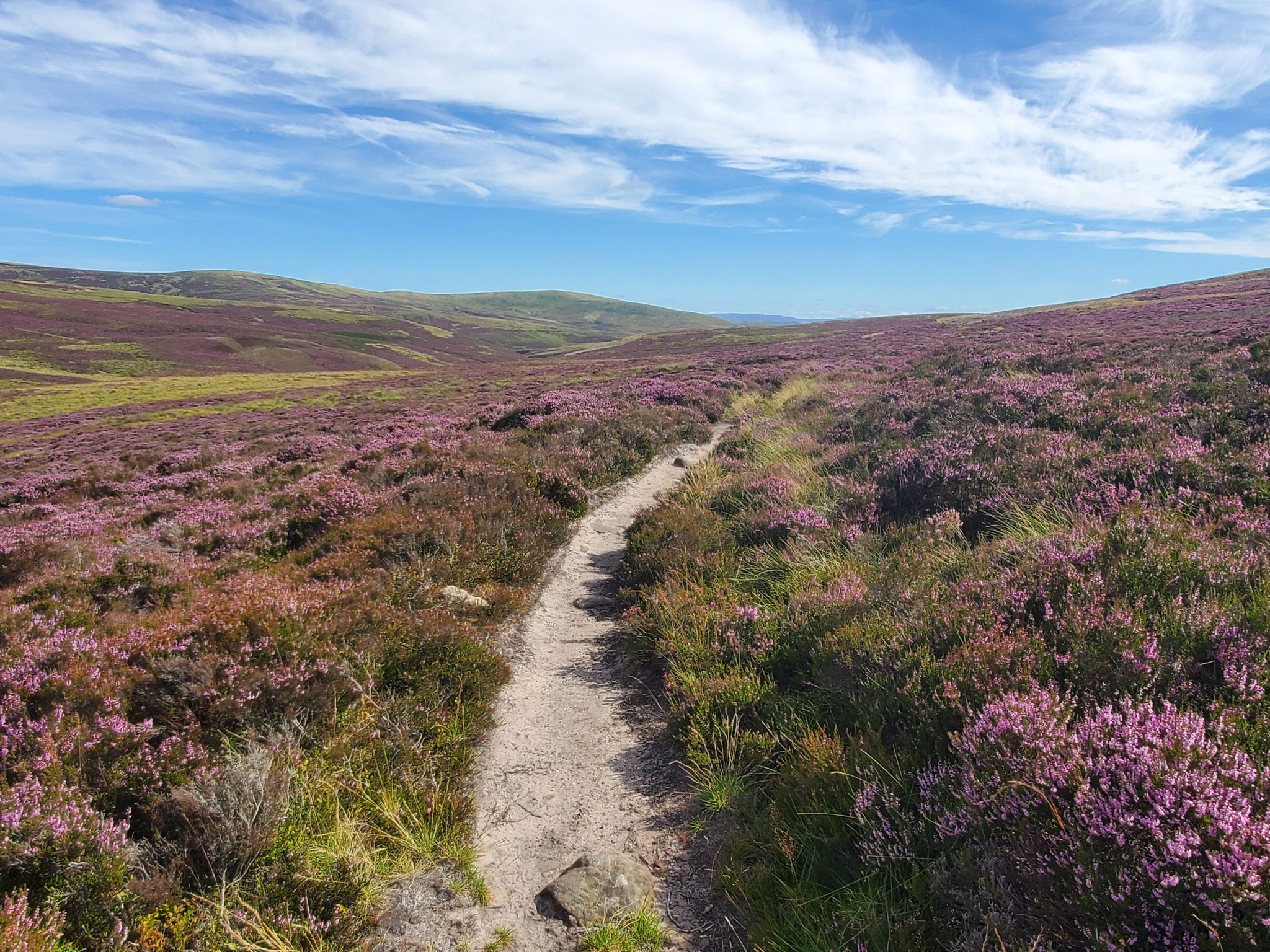
St Cuthbert's Way — Hike wild moors, historic hills and heavenly coast
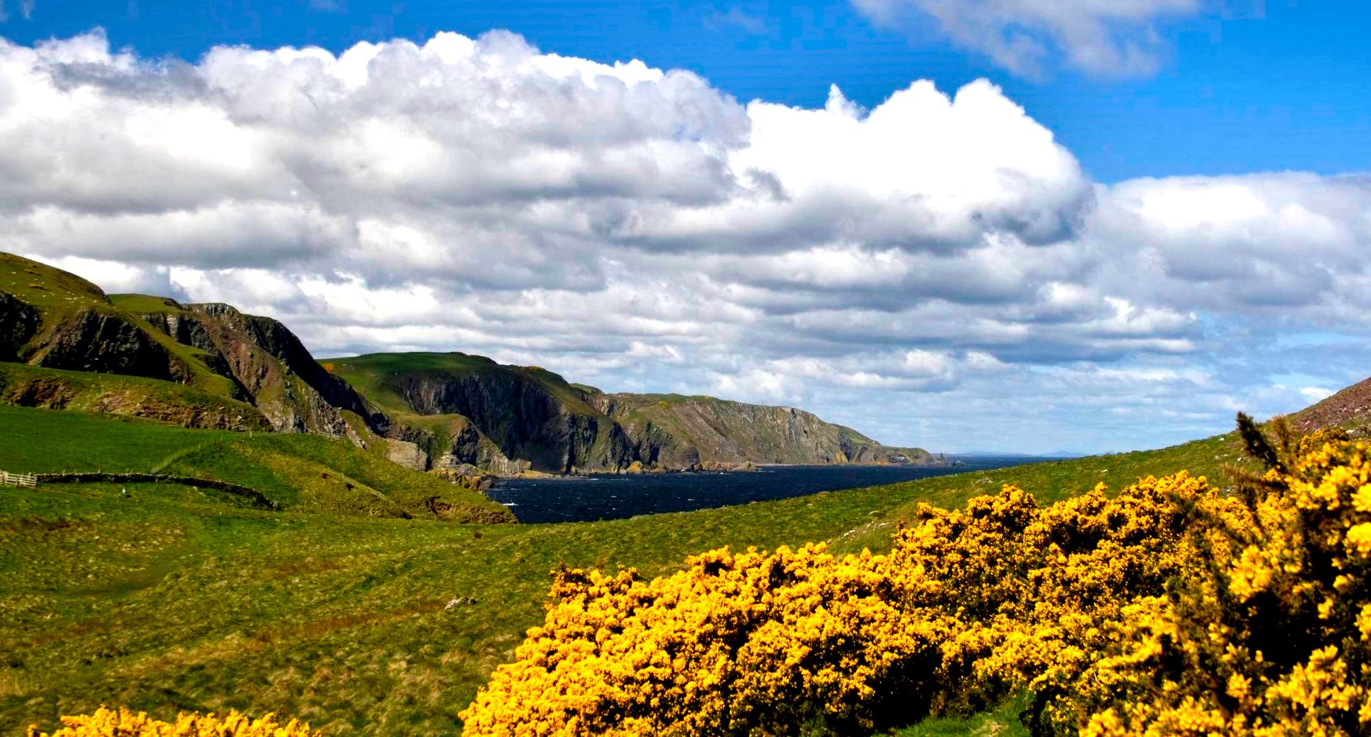
Berwickshire Coastal Path — A breathtaking coastline hike
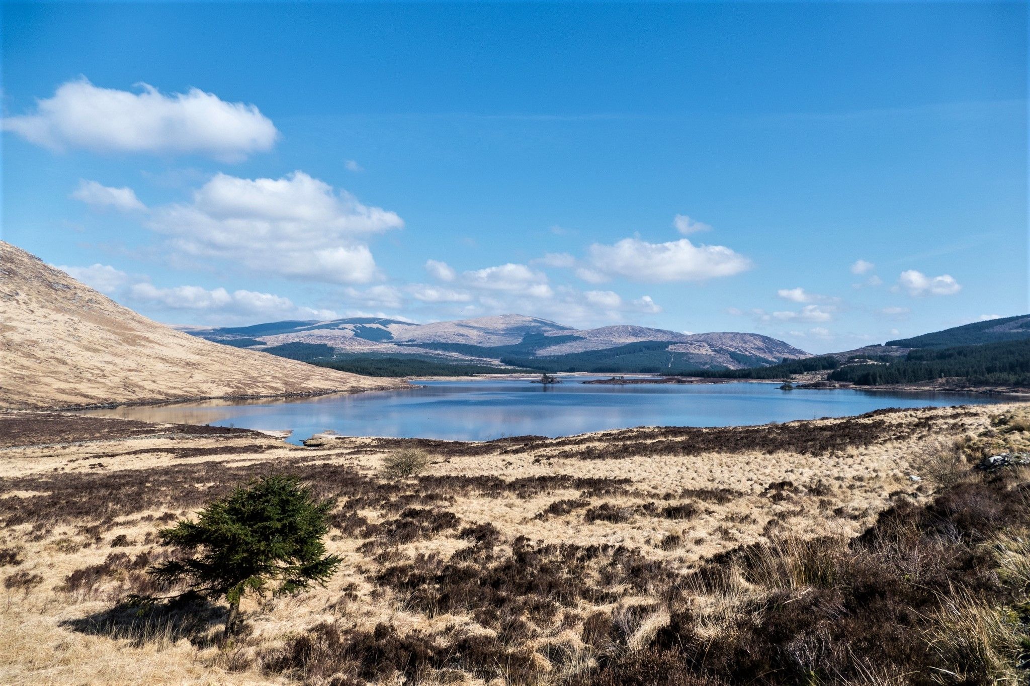
Southern Upland Way — A wild and undiscovered coast-to-coast challenge
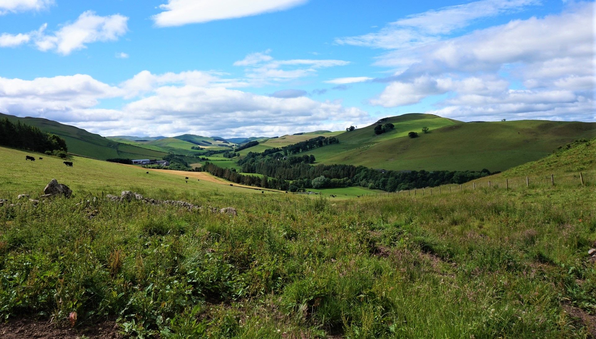
Hike in the footsteps of history – Cross Borders Drove Road

Walk Britain – 90 car-free adventures in England, Wales and Scotland
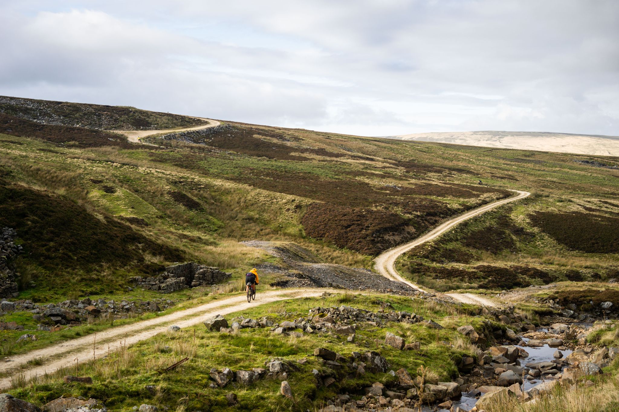
Second City Divide — Rough Stuff Of The North
Other adventures in Scottish Borders
St Cuthbert's Way — Hike wild moors, historic hills and heavenly coast
Hiking Collection by

Dan Hobson
Southern Upland Way — A wild and undiscovered coast-to-coast challenge
Hiking Collection by
Dan Hobson


Tips from the Community

Straight out of Hawick (the eastern end of this segment), Whitehaugh Road is a quiet and small road, but once you turn left towards Brieryhill, it becomes the Cross Borders Drove Road (part of a trail by the same name) and drops down with a stone wall on one side and Wiltonburn Hill on the other, and the views of rolling hills ahead of you. Picturesque and scenic!
1
0
This sure is a very pretty park: tree-lined walks, a waterfall, a walled garden, a bandstand and much more. A pleasure to be at for any kind of a walker.
1
0
A gorgeous, if a bit short, walk along the Help Hill Path, between Dean Burn and the Hawick Substation, passing the Help Hill itself, which is to the west of the path. In the far distance, to the south-west of hill, you will be able to see the summit of Skelfhill Pen rising proudly on the horizon.
1
0
This is a very beautiful path along the south bank of Eden Water within the Newton Don Estate. Very green and incredibly peaceful, and much much better than at the Southbank Centre in London, if you ask me!
1
0
This track (occasionally a narrower path) is delightfully grassy and green, particularly in the summer. Although surrounded by farmland here, the hedges and the trees planted here create a wilder, more unconstrained impression and the sense of peace.
1
0
A very impressive, 40ft tall waterfall on Eden Water. Tucked away in a way, as you would expect this kind of thing in the Highlands, not necessarily in the gentler, less dramatic area such as the Borders, but there it is!
2
0
This is one beautiful place to sit and enjoy the view of Liddesdale. There are other benches along the Newcastleton-Langholm road with equally or more amazing views of the area, but this one is sheltered, so in windy conditions would offer a good hideaway place from the elements.
1
0
This 1km stretch will get you surrounded by wonderful green hills and moorland. Some peculiar tree 'structures' on the way, and you have Black Burn to accompany you on the side of the track, which can be good place to rest at. I find the sound of the water in places like this give me more peace than any meditation app.
1
0
Frequently Asked Questions
How many waterfall hiking trails are available in the Scottish Borders?
The Scottish Borders region offers a variety of waterfall hiking trails. There are 15 dedicated waterfall hiking routes available, with 8 categorized as easy and 7 as moderate, providing options for different skill levels.
What makes waterfall hiking in the Scottish Borders unique?
Waterfall hiking in the Scottish Borders offers a unique blend of natural beauty and diverse landscapes. You'll traverse rolling hills, verdant valleys, and tranquil river systems, often leading to picturesque cascades and serene streams. The region's distinctive topography, from the Eildon Hills to the Tweed Valley, provides a rich outdoor environment for exploring these natural wonders.
Are there easy waterfall hikes suitable for beginners or families?
Yes, the Scottish Borders has 8 easy waterfall hiking trails perfect for beginners or families. A great option is the Stichill Linn Waterfall loop from Stichill, which is a shorter, gentle walk. These trails often follow riverside paths, offering pleasant walks with minimal elevation gain.
Are there any moderate waterfall trails for a bit more challenge?
Absolutely! For those seeking a moderate challenge, there are 7 trails available. Consider the Stichill Linn loop from Mill Haugh — Roxburghshire, a 5.8-mile route exploring scenic countryside. Another excellent choice is the Blackburn Falls and Bedda Cleuch loop from Newcastleton, which features two distinct waterfalls and varied woodland scenery over 7.7 miles.
Are the waterfall trails in the Scottish Borders dog-friendly?
Many trails in the Scottish Borders are dog-friendly, especially those through woodlands and along rivers. However, it's always recommended to keep dogs on a lead, particularly near livestock or in nature reserves, and to check specific trail guidelines for any restrictions before you go.
Are there circular routes available for waterfall hikes?
Yes, several waterfall hikes in the Scottish Borders are circular routes, allowing you to start and end at the same point without retracing your steps. Examples include the popular Stichill Linn loop from Mill Haugh — Roxburghshire and the Blackburn Falls and Bedda Cleuch loop from Newcastleton.
What kind of terrain can I expect on waterfall hikes in the Scottish Borders?
The terrain on waterfall hikes in the Scottish Borders is quite varied. You can expect everything from gentle riverside paths and woodland tracks to more undulating routes through rolling hills. Some trails may involve muddy sections, especially after rain, so appropriate footwear is essential.
What other natural attractions can I explore near the waterfall trails?
Beyond the waterfalls, the Scottish Borders boast numerous natural attractions. You can explore significant peaks like Eildon Hill North or Eildon Mid Hill Summit, offering panoramic views. The serene St Mary's Loch is another beautiful natural monument worth visiting.
Are there any historical landmarks or points of interest close to the waterfall hikes?
The Scottish Borders are rich in history. While specific landmarks directly adjacent to every waterfall trail aren't listed, the region is home to historic abbeys like Melrose, Jedburgh, Dryburgh, and Kelso, which are often connected by walking routes like the Borders Abbeys Way. Many trails also pass by ancient drovers' roads, standing stones, and historic hill forts, offering glimpses into the region's past.
What is the best time of year to go waterfall hiking in the Scottish Borders?
Waterfall hiking in the Scottish Borders can be enjoyed year-round, but each season offers a different experience. Spring brings lush greenery and often higher water flows from snowmelt and rain, making waterfalls particularly impressive. Autumn provides stunning foliage colors. Summer offers warmer weather, while winter can transform the landscape with frost and ice, creating a dramatic backdrop, though trails may be more challenging.
What do other hikers say about the waterfall trails in the Scottish Borders?
The waterfall trails in the Scottish Borders are highly rated by the komoot community, with an average score of 4.5 stars from over 1,700 reviews. Hikers often praise the diverse terrain, the beauty of the rolling hills and river valleys, and the peaceful atmosphere of the woodlands. Many appreciate the variety of routes available for different ability levels.
What should I wear for waterfall hiking in the Scottish Borders?
Given the varied terrain and often unpredictable Scottish weather, it's best to dress in layers. Waterproof and windproof outer layers are highly recommended, along with sturdy, waterproof hiking boots with good grip. Even on sunny days, trails can be muddy, especially near waterfalls. Bringing extra layers and a hat is always a good idea.
Most popular routes in Scottish Borders
Most popular attractions in Scottish Borders

Get inspired with the komoot mobile app


Didn’t find what you were looking for?
Check out more Hikes throughout Scottish Borders below and find the perfect route in your destination.
Explore more
Browse the best Hikes in other regions.
