The best waterfall hikes and walks in the Spessart
4.6
(27329)
107,721
hikers
52
hikes
Waterfall hiking trails in the Spessart traverse a low wooded mountain range characterized by extensive deciduous and mixed forests. The region features gently rolling hills, deep valleys, and picturesque brook and river valleys, such as those formed by the Main, Kinzig, and Sinn rivers. Hikers encounter crystal-clear streams, ancient ravines, and diverse woodlands, with the highest elevation being the Geiersberg at 586 meters. This landscape provides varied terrain for exploring natural water features.
Best waterfall hiking trails in the Spessart
…Last updated: September 30, 2026
4.8
(48)
146
hikers
12.6km
03:31
250m
250m
Moderate hike. Good fitness required. Easily-accessible paths. Suitable for all skill levels.
4.6
(30)
96
hikers
Moderate hike. Good fitness required. Easily-accessible paths. Suitable for all skill levels.

4.9
(31)
198
hikers
6.66km
01:41
10m
10m
Easy hike. Great for any fitness level. Easily-accessible paths. Suitable for all skill levels.
4.5
(31)
116
hikers
6.27km
01:44
110m
110m
Easy hike. Great for any fitness level. Easily-accessible paths. Suitable for all skill levels.
4.7
(34)
123
hikers
Moderate hike. Good fitness required. Easily-accessible paths. Suitable for all skill levels.
Get access to more routes and recommendations from other explorers.
Already have an account?
Our route recommendations are based on thousands of hikes, rides, and runs completed by other people on komoot.
Start today with a free account
Your next adventure awaits.
Popular around Spessart
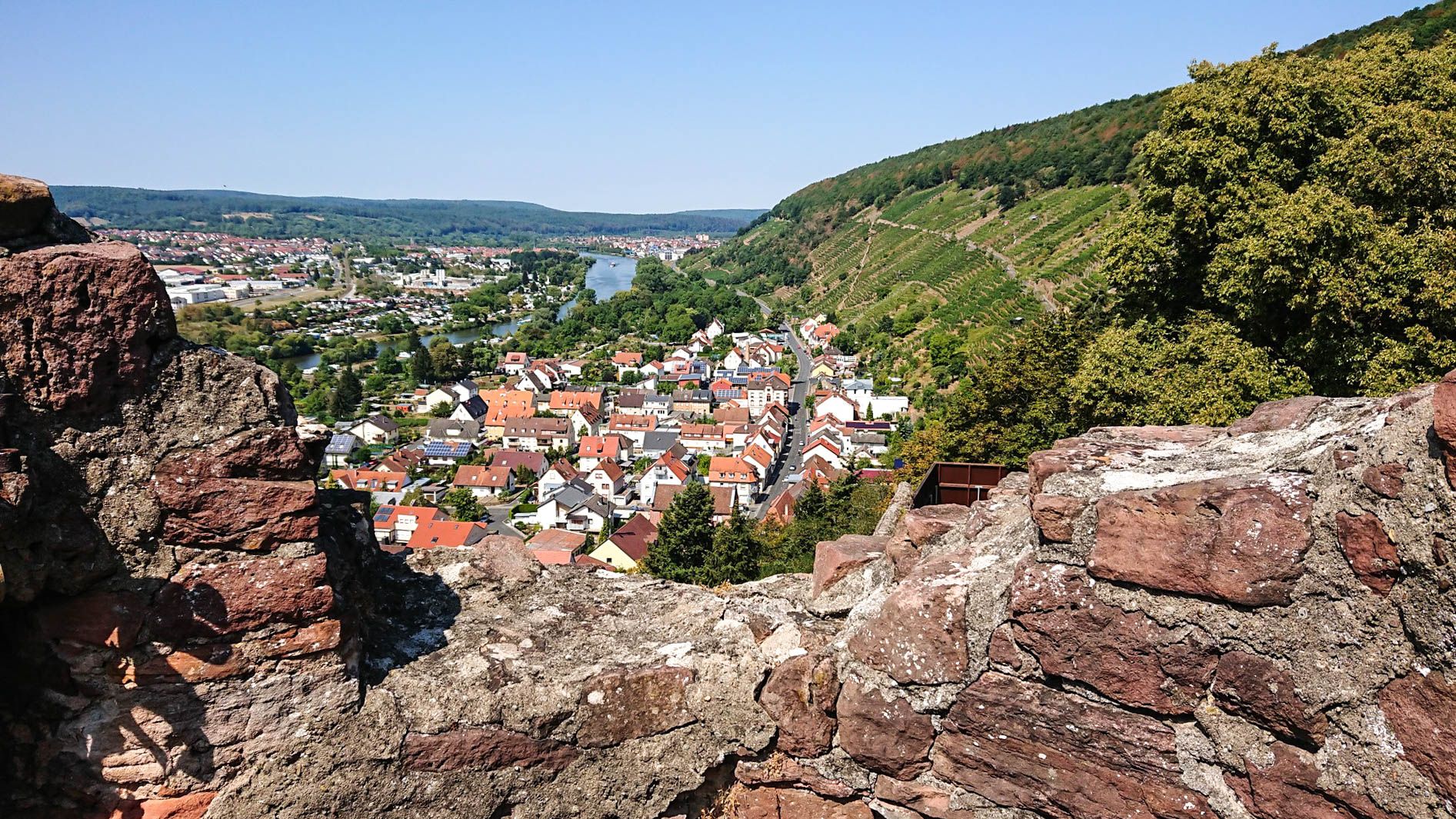
Franconian Red Wine Trail — From vineyards to the Main River

The Romantic Road – To the Pearls of Southern Germany
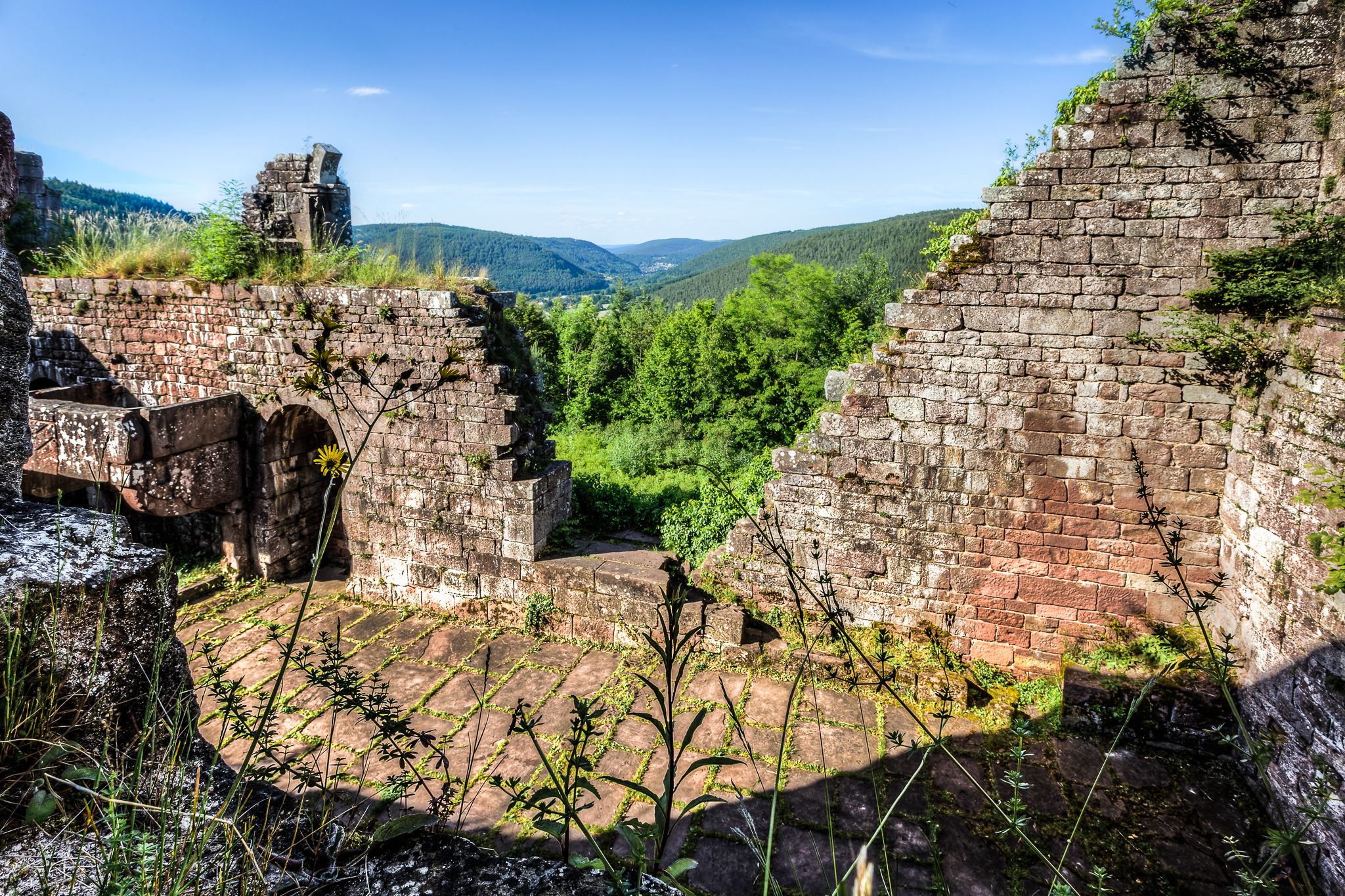
The Nibelungensteig in 7 stages – Simply legendary!
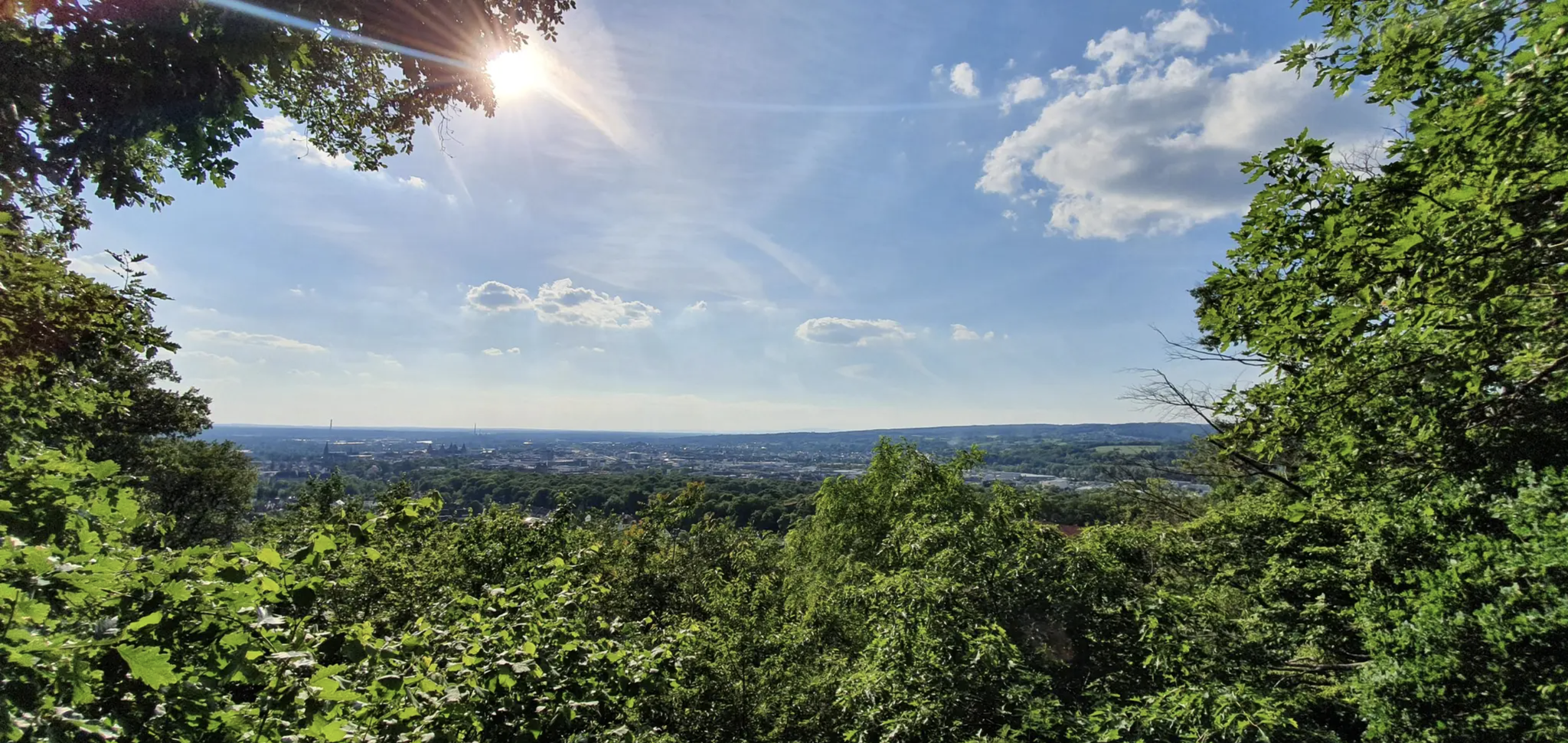
Germany's Spessart Trail – Free as a bird
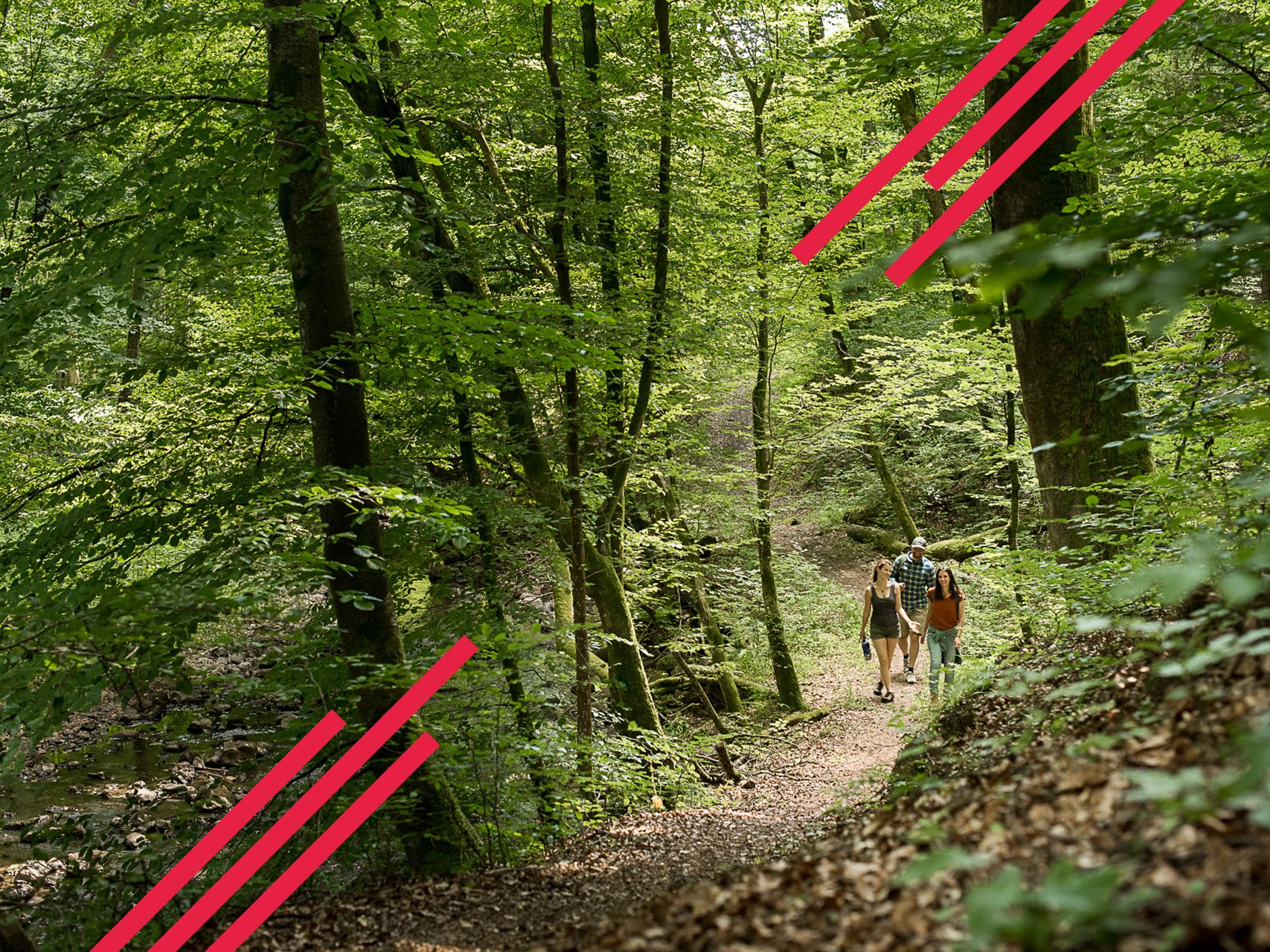
Relaxed hiking in the Spessart – short trails of discovery
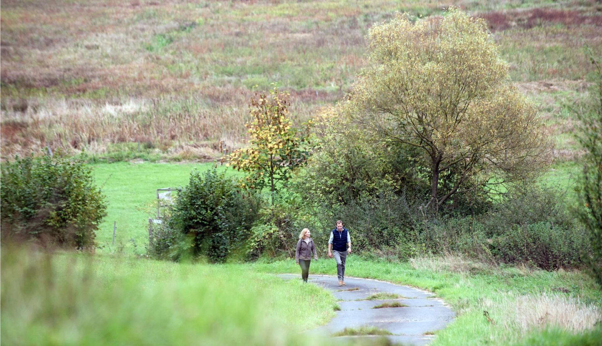
Pleasure hiking in the Spessart: trails that taste as good as they look

The National Natural Landscapes in Hessen

The National Natural Landscapes in Bavaria
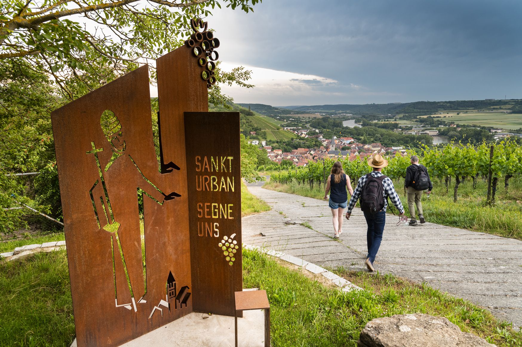
Hiking and culinary delights – walks in the Franconia wine region

Winter adventures by public transport – hikes for the whole family
Other adventures in the Spessart


Tips from the Community

The Devil's Bridge in Schönbusch Park is a fascinating pedestrian bridge, built in 1788, that connects two artificially created hills. These so-called "mountains" were previously formed between 1776 and 1779 from the excavated earth of the Lower Lake. When the famous garden artist Friedrich Ludwig von Sckell took over the design of the park, he was inspired by the world-famous, wildly romantic Devil's Bridge in the Swiss Schöllenen Gorge on the St. Gotthard Massif for the name of the bridge. While the Swiss model, however, represents a monumental structure in a threatening gorge, Sckell pursued a completely different garden philosophy in Aschaffenburg. As he was no friend of gloomy park scenery, he deliberately removed the "gruesome" from the motif and gave it a light, friendly character instead by having a delicate, white-painted bridge structure erected. The bridge has undergone several structural changes over the centuries. The original variant from 1788 had a span of around 20 meters and was made entirely of wood, with the first designs even consisting of roughly hewn tree trunks. However, since wood is susceptible to weathering outdoors, the structure was replaced by a more stable iron bridge in 1875. The structure, over which park visitors stroll today, is a modern steel bridge from 1985, which, however, is visually modeled on the historical plans. During a comprehensive renovation by the Bavarian Administration of Palaces and Gardens in 2008, the deck was laid with 105 new oak planks, and the delicate railing regained its traditional, bright white paint. For park visitors, the Devil's Bridge fulfills an important function in the path network of the landscape garden, as it provides direct access to the neighboring, historically significant viewing tower. Those who stop in the middle of the almost 18-meter-long bridge enjoy a wonderful view down onto the Lower Lake and the surrounding walking paths. Together with the artificial hills and the tower, the Devil's Bridge forms a classic ensemble of garden architecture from the Goethe era, harmoniously blending nature and man-made structures.
7
0


The little village in Schönbusch Park, like some other buildings here, is just window dressing.
1
0

The castle in the park, a museum, is currently being restored. It's impressive even from the outside.
1
0
A beautiful bridge, with two sphinx figures on each side. From there you have a lovely view across the lake to the observation tower and the restaurant.
0
0

A beautiful stream with a jetty and hillside path. Very idyllic!
0
0

small group of houses in the park
0
0

Highland cattle are apparently all gone at the moment 🥲
0
0
Frequently Asked Questions
How many waterfall hiking trails are available in the Spessart region?
The Spessart region offers a wide variety of hiking experiences, with over 50 dedicated waterfall hiking trails. These routes range from easy strolls to more challenging treks, ensuring there's something for every hiker to discover the region's natural water features.
What is the general terrain and difficulty level of waterfall hikes in the Spessart?
The Spessart is characterized by gently rolling hills, deep valleys, and extensive forests. Waterfall hikes often follow crystal-clear streams and ancient ravines. The trails vary in difficulty; you'll find around 23 easy routes, 26 moderate routes, and a few more challenging options. For example, an easy route like Trettstein Waterfall – Trail to Trettstein Waterfall loop from Dittlofsroda is about 3.5 miles (5.7 km) long, while a moderate one like Trail to Trettstein Waterfall – River in Naturpark Spessart loop from Gräfendorf covers 8.6 miles (13.9 km).
Are there any family-friendly waterfall hikes in the Spessart?
Yes, many waterfall hikes in the Spessart are suitable for families. Look for routes marked as 'easy' in the guide. These often feature shorter distances and less elevation gain, making them enjoyable for all ages. An example is the Trettstein Waterfall – Trail to Trettstein Waterfall loop from Gräfendorf, which is an easy 3.5-mile (5.6 km) loop.
Can I bring my dog on waterfall hiking trails in the Spessart?
Generally, dogs are welcome on hiking trails in the Spessart, especially given the region's extensive natural forests and open spaces. However, it's always advisable to keep your dog on a leash, particularly in nature reserves or near wildlife, and to check specific trail regulations if available. Most routes, including those leading to waterfalls, are suitable for well-behaved dogs.
What natural features or landmarks can I expect to see along waterfall trails in the Spessart?
Beyond the waterfalls themselves, the Spessart's trails wind through vast deciduous forests, offering glimpses of ancient beech and oak trees, and picturesque brook valleys. You might encounter interesting natural monuments like the Seltenbach Gorge or the Rückersbach Gorge. Some trails also lead to scenic viewpoints such as the Ludwig Tower (Hahnenkamm) or the Ludwig-Keller Observation Tower on Geishöhe, providing panoramic views of the forested landscape.
What is the best time of year to hike to waterfalls in the Spessart?
The Spessart's waterfalls are beautiful year-round, but spring (after snowmelt or heavy rains) and autumn are particularly rewarding. In spring, the water flow is often at its strongest, and the forests burst with fresh greenery. Autumn offers stunning foliage colors. Summer provides pleasant hiking weather, while winter can transform the landscape into a serene, frosty wonderland, though some paths might be slippery.
Are there circular routes available for waterfall hikes?
Yes, many waterfall hikes in the Spessart are designed as circular routes, allowing you to start and end at the same point without retracing your steps. This is convenient for those traveling by car. An example is the River in Naturpark Spessart – Trail to Trettstein Waterfall loop from Dittlofsroda, a moderate 9.4-mile (15.2 km) trail.
Where can I find parking for waterfall hiking trails?
Parking is generally available at the trailheads of popular hiking routes and in nearby villages. Many routes, especially circular ones, often start from designated hiking car parks. It's advisable to check the starting point of your chosen route on komoot for specific parking information, which is often provided by other hikers.
What should I wear or bring for a waterfall hike in the Spessart?
Given the varied terrain and potential for wet conditions near waterfalls, sturdy, waterproof hiking boots are highly recommended. Dress in layers suitable for the weather, as conditions can change, especially in forested areas. Bringing water, snacks, and a map or GPS device (like komoot) is always a good idea. A waterproof jacket is also advisable, regardless of the season.
Are there any lesser-known or 'secret' waterfalls in the Spessart?
While the Trettstein Waterfall is a well-known highlight, the Spessart's dense network of streams and ravines means there are many smaller, often unnamed cascades and water features to discover. Exploring less-trafficked paths or using detailed topographical maps can lead you to these hidden gems, offering a more secluded experience of the region's natural beauty.
What do other hikers say about the waterfall trails in the Spessart?
The Spessart's trails are highly regarded by the komoot community, with an average rating of 4.6 stars from over 23,900 reviews. Hikers frequently praise the region's quiet woodlands, well-maintained paths, and the refreshing experience of discovering its numerous streams and waterfalls. Many appreciate the sense of peace and immersion in nature that the Spessart offers.
Most popular routes in the Spessart
Most popular attractions in the Spessart

Get inspired with the komoot mobile app


Explore more
Browse the best Hikes in other regions.
