The best mountain hikes around Puyvalador
4.8
(6)
27
hikers
4
hikes
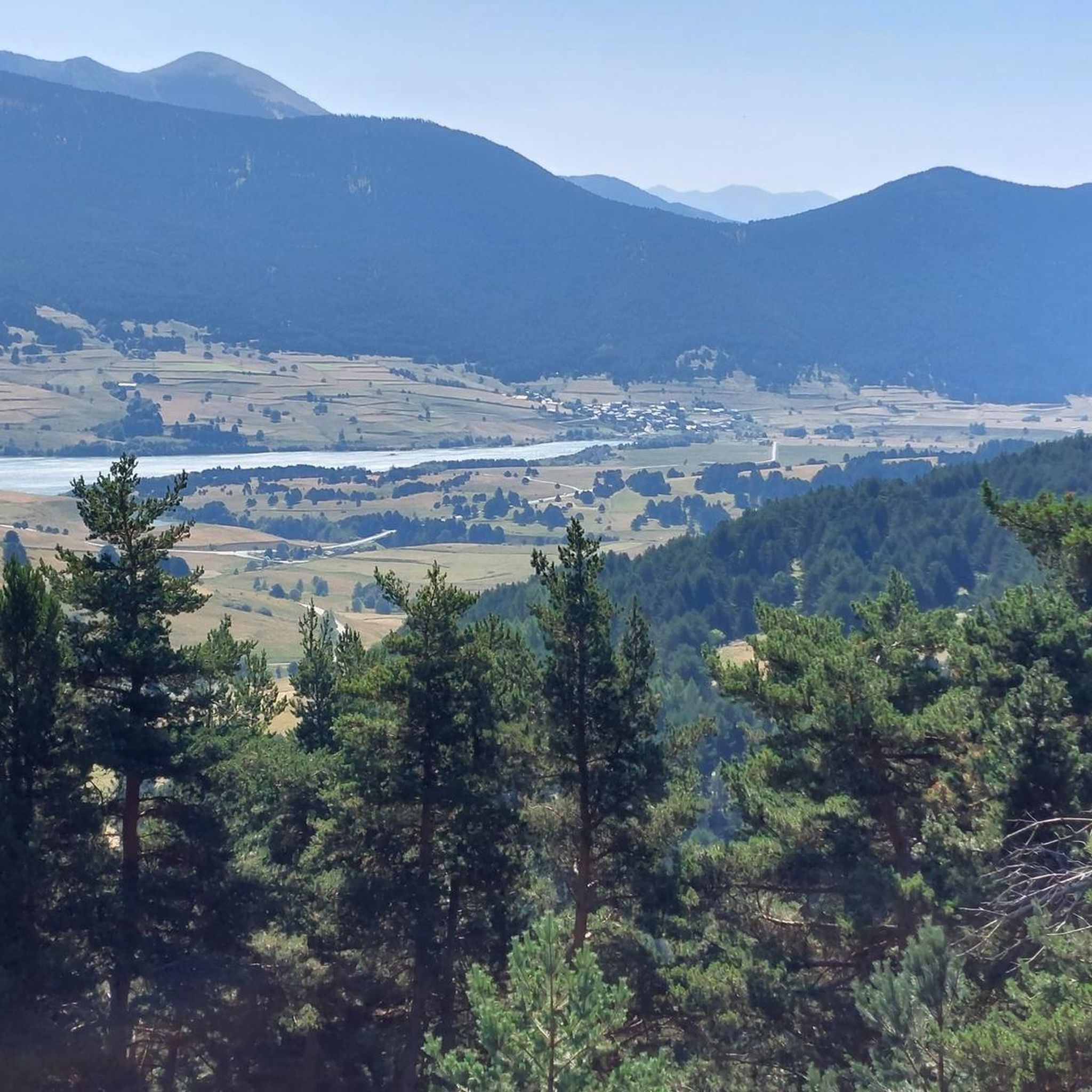
Mountaineering routes around Puyvalador are situated within the Capcir massif, a high-altitude plateau ranging from 1,300 to 1,700 meters. This region is characterized by extensive pine forests, open meadows, and numerous high-altitude lakes, including Lake Puyvalador. The landscape is encircled by majestic peaks such as Roc de Madrès and the prominent Carlit massif, offering diverse terrain from dense woodlands to exposed plateaus. These features provide a varied environment for mountaineering, with routes that traverse both forested areas and higher elevations.
…Last updated: August 18, 2026
11
hikers
26.7km
08:55
1,270m
1,270m
Hard mountaineering route. Very good fitness required. Easily-accessible paths. Suitable for all skill levels.
4.7
(3)
11
hikers
12.6km
04:34
370m
370m
Moderate mountaineering route. Good fitness required. Mostly accessible paths. Sure-footedness required.

Sign up for free
5.0
(3)
4
hikers
10.0km
03:35
590m
590m
Moderate mountaineering route. Good fitness required. Easily-accessible paths. Suitable for all skill levels.
2
hikers
13.5km
05:42
800m
810m
Hard mountaineering route. Very good fitness required. Sure-footedness, sturdy shoes and alpine experience required.
Our route recommendations are based on thousands of hikes, rides, and runs completed by other people on komoot.
Start today with a free account
Your next adventure awaits.
Login or Signup
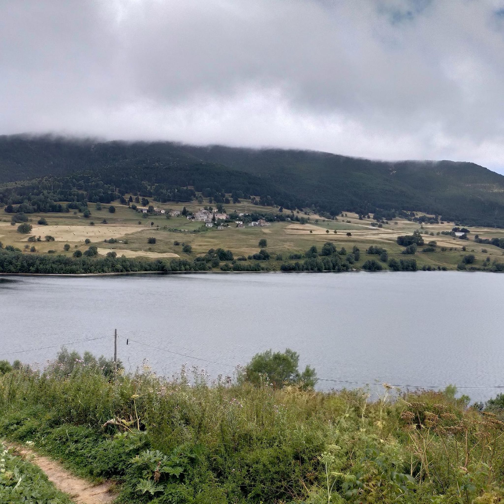
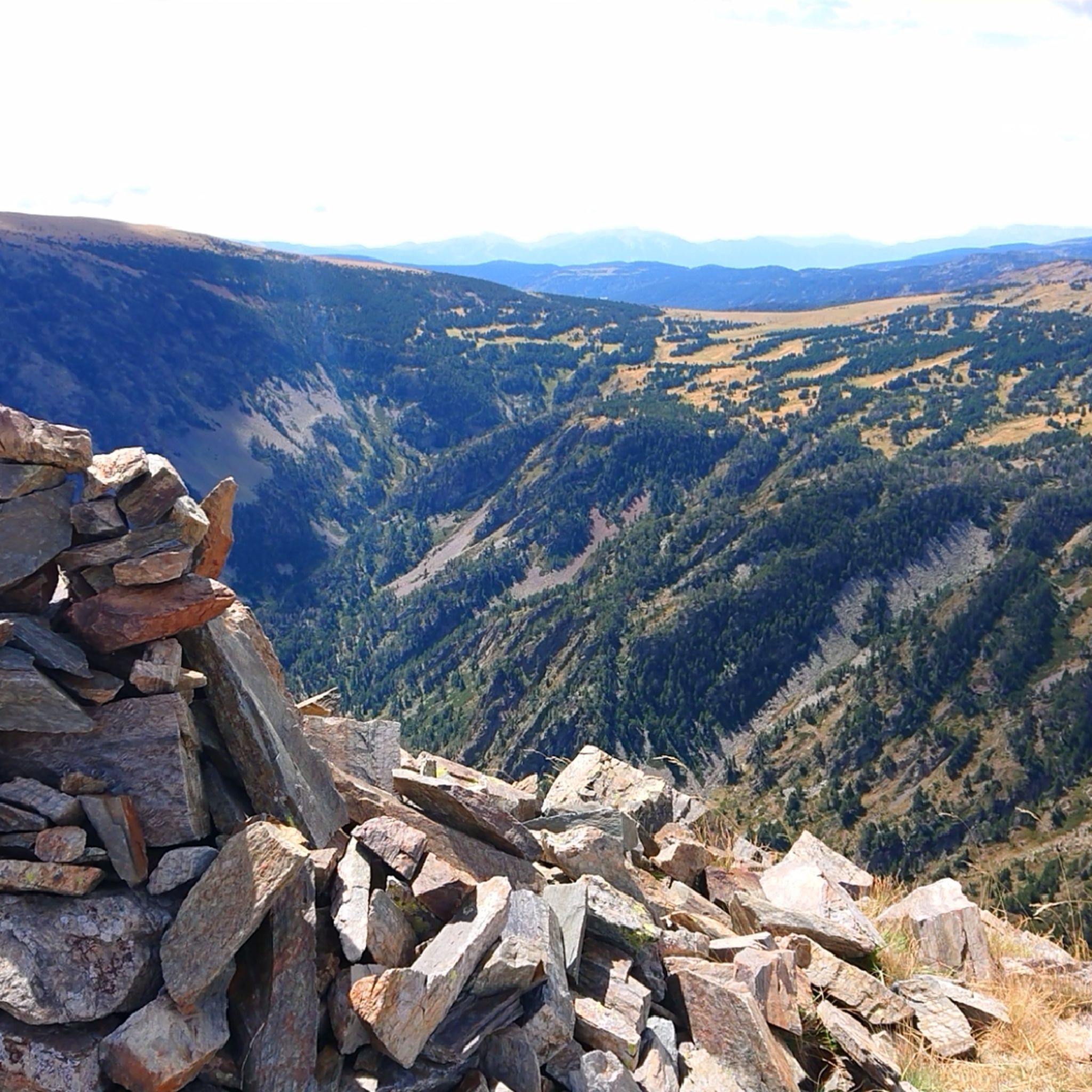
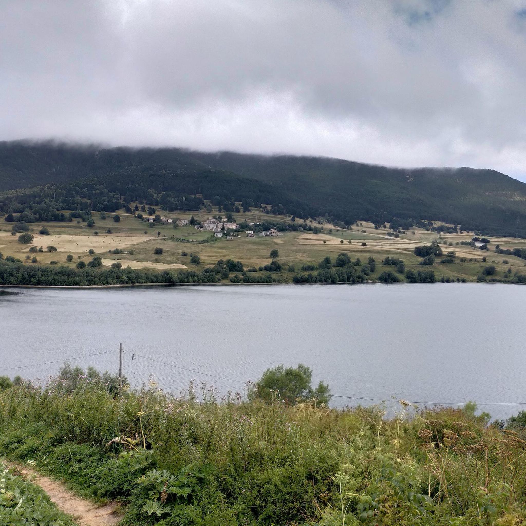
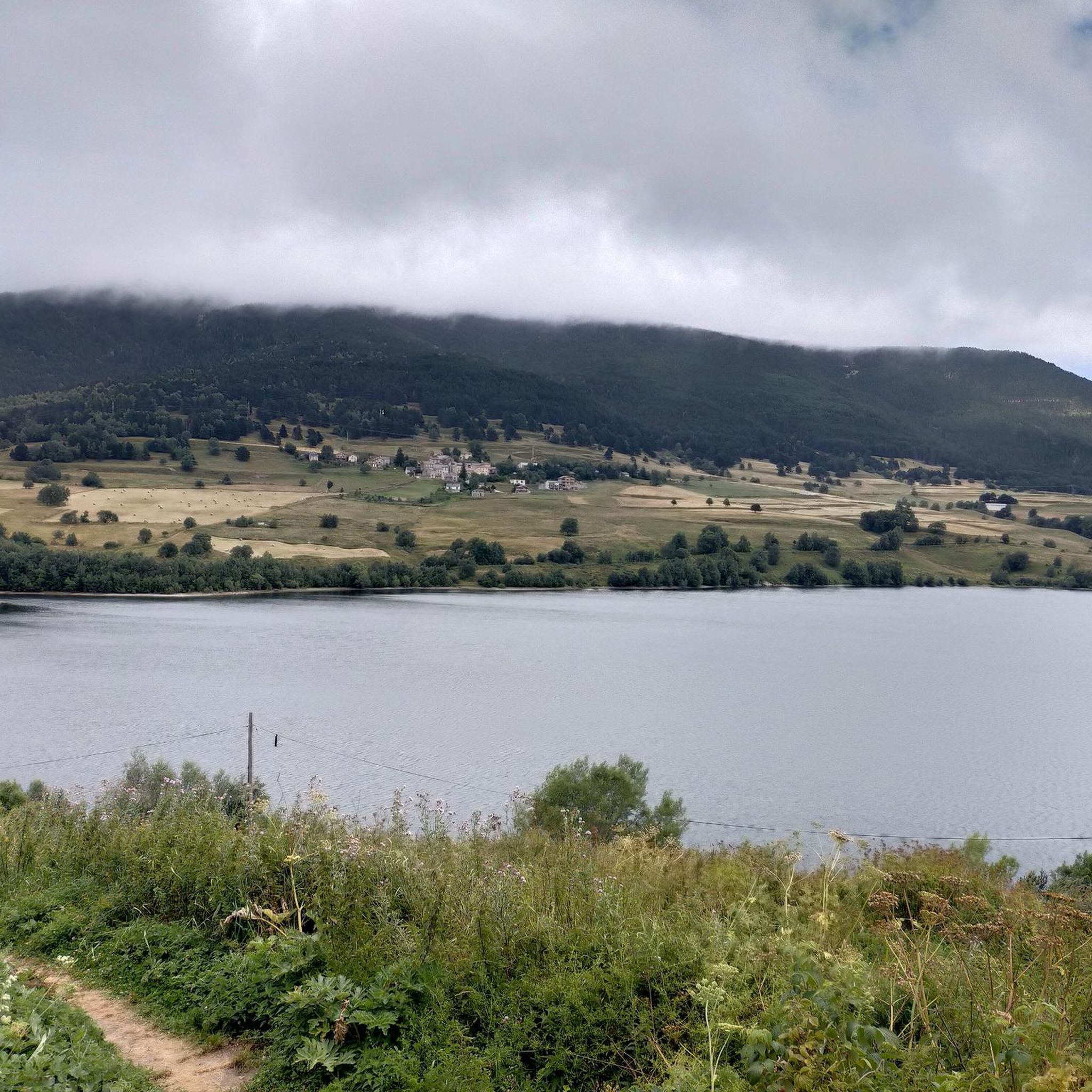

Tips from the Community

Pass above Lake Laurenti with spectacular views. The great effort required to climb it is worth it.
0
0

This super panoramic trail overlooks the El Galba watercourse, and offers all along a superb panorama of the Galbe valley. You are thus accompanied by fir trees, large green meadows and the mineral, snow-capped peaks in the background.
0
0
The L'abri de la Jasse is an open hut that allows you to stop for the night, but also to take a break sheltered from the sun or rain. It is set in a magnificent, peaceful natural setting, in the middle of a clearing dotted with pine trees.
0
0

Like the reflection of the sun on water, your eyes will sparkle with a thousand lights. A magnificent place, let's protect and share it
0
0

just a magnificent hike to take in to take in the views 💕
0
0

Dominated by the peaks of the Pérics, this beautiful lake lies in the middle of a vast hanging cirque, the former bed of a glacier.
0
0

Perfect for picnicking in the shade of the trees. Swimming prohibited due to pollution (sunscreen)
0
0
Beautiful spot with a view of the valley and the possibility of taking a framed photo. A second spot a few meters higher is also possible.
0
0
Frequently Asked Questions
What are the typical difficulties of mountaineering routes around Puyvalador?
Mountaineering routes in Puyvalador range from moderate to difficult. You'll find challenging ascents and significant elevation gains, particularly on routes like the Serra da Mauri (2,412 m) – Lakes of Camporells loop from Formiguères, which is rated difficult. However, there are also moderate options available for those with less experience, such as the Refuge Bernardi (1930 m) – Lake Aude loop from Les Angles.
What kind of terrain can I expect on mountaineering routes in Puyvalador?
The terrain around Puyvalador is highly varied, reflecting its location within the Capcir massif. You can expect to traverse extensive pine forests, open meadows, and high-altitude plateaus. Routes often feature challenging ascents leading to majestic peaks and serene high-altitude lakes. The landscape transitions from dense woodlands to more exposed, rocky sections as you gain elevation.
Are there any circular mountaineering routes in the Puyvalador area?
Yes, several mountaineering routes around Puyvalador are designed as loops, offering a complete experience without retracing your steps. Examples include the challenging Serra da Mauri (2,412 m) – Lakes of Camporells loop from Formiguères and the equally demanding Gorg Negre – Col de Portus loop from Nohèdes. For a moderate option, consider the La Collada loop from Capcir.
What natural features or landmarks can I expect to see on these routes?
The routes offer breathtaking views of the Capcir massif's natural beauty. You can expect to encounter numerous high-altitude lakes, such as Lake Aude and the scenic Camporells lakes. Majestic peaks like Pic de Tarbesou and Mount Llaret are prominent features. You might also pass by mountain refuges like the Camporells Refuge, offering a chance to rest and enjoy the surroundings.
What is the best time of year for mountaineering in Puyvalador?
The warmer months are generally best for mountaineering in Puyvalador, when the high-altitude landscapes are characterized by flower-filled meadows. However, the region is known for its cold, dry microclimate, and some higher ascents, especially towards peaks like Carlit, may involve snow well into the pre-summer period, potentially requiring appropriate gear like crampons and an ice axe. Winter offers opportunities for snowshoeing and ski touring.
Are there any family-friendly mountaineering options around Puyvalador?
While many mountaineering routes in Puyvalador are challenging, the region also offers easier walks around Lake Puyvalador and interpretive trails. For a moderate mountaineering experience that might be suitable for active families, consider the Refuge Bernardi (1930 m) – Lake Aude loop from Les Angles, which is 7.8 miles (12.6 km) long and leads through forested areas and past high-altitude lakes.
What do other mountaineers enjoy the most about mountaineering in Puyvalador?
The mountaineering routes around Puyvalador are highly rated by the komoot community, with an average score of 4.5 stars from over 10 reviews. Mountaineers often praise the diverse terrain, from extensive pine forests to high-altitude plateaus, and the stunning panoramic views of the majestic peaks and serene lakes. The variety of routes, catering to different ability levels, is also frequently highlighted.
Are there any places to eat or drink near the mountaineering trails?
Yes, you might find options for refreshments near some trailheads or along certain routes. For example, the En Beys Refuge is a place where you can find food and drink, located along one of the routes. Additionally, the villages surrounding Puyvalador will offer cafes and accommodation options.
Is it possible to do winter mountaineering in Puyvalador?
Yes, Puyvalador transforms into a destination for winter sports. While specific technical ice climbing is more prevalent in the wider Pyrenees (like Gavarnie), the local area offers marked trails suitable for snowshoeing and ski touring circuits. The cold, dry microclimate helps maintain good snow quality, making it an appealing destination for winter mountain activities.
How many mountaineering routes are available in Puyvalador?
There are at least 5 distinct mountaineering routes detailed for the Puyvalador area, offering a range of experiences from moderate to difficult. These routes allow you to explore the diverse landscapes of the Capcir massif, from forested areas to high-altitude peaks and lakes.
Are there any routes that lead to mountain refuges?
Yes, some routes incorporate mountain refuges, providing opportunities for rest or overnight stays. For instance, the Refuge Bernardi (1930 m) – Lake Aude loop from Les Angles passes by a refuge, and the Refuge d'En Beys loop from Le Fanguil-Chalet is named after another. These refuges can be valuable stops on longer expeditions.
What are some of the higher peaks accessible from Puyvalador?
Puyvalador is an excellent base for accessing majestic peaks within the Capcir massif and the broader Pyrénées-Orientales. While the routes listed directly here reach elevations like Serra da Mauri (2,412 m), the region is encircled by prominent peaks such as Roc de Madrès (2,357 m) and the Carlit massif, which includes Pic Carlit (2,921 m), the highest point in the Pyrénées-Orientales. Ascents to these higher peaks can be demanding and require appropriate preparation.
Most popular routes around Puyvalador
Most popular attractions around Puyvalador

Get inspired with the komoot mobile app


Explore more
Browse the best Mountain Hikes & Routes in other regions.
