The best mountain hikes around Adast
4.3
(7)
37
hikers
5
hikes
Mountaineering routes around Adast traverse a landscape characterized by prominent peaks and mountain passes, offering varied terrain for exploration. The region features several notable summits, including Pic du Pibeste and Pic du Cabaliros, which define the local mountaineering experience. These routes often involve significant elevation gains and provide expansive views of the surrounding mountainous environment. The area's topography supports both moderate and more challenging ascents.
Best mountaineering routes around Adast
- The most popular mountaineering route is Pic du Pibeste –…
Last updated: August 17, 2026
4.7
(3)
12
hikers
11.8km
04:25
790m
790m
Moderate mountaineering route. Good fitness required. Easily-accessible paths. Suitable for all skill levels.
3.0
(1)
4
hikers
15.8km
06:09
1,160m
1,160m
Hard mountaineering route. Very good fitness required. Easily-accessible paths. Suitable for all skill levels.

Sign up for free
5.0
(1)
6
hikers
11.3km
04:10
730m
730m
Moderate mountaineering route. Good fitness required. Easily-accessible paths. Suitable for all skill levels.
5
hikers
6.35km
02:25
400m
400m
Moderate mountaineering route. Good fitness required. Mostly accessible paths. Sure-footedness required.
4
hikers
10.2km
04:04
500m
500m
Hard mountaineering route. Good fitness required. Sure-footedness, sturdy shoes and alpine experience required.
Our route recommendations are based on thousands of hikes, rides, and runs completed by other people on komoot.
Start today with a free account
Your next adventure awaits.
Login or Signup
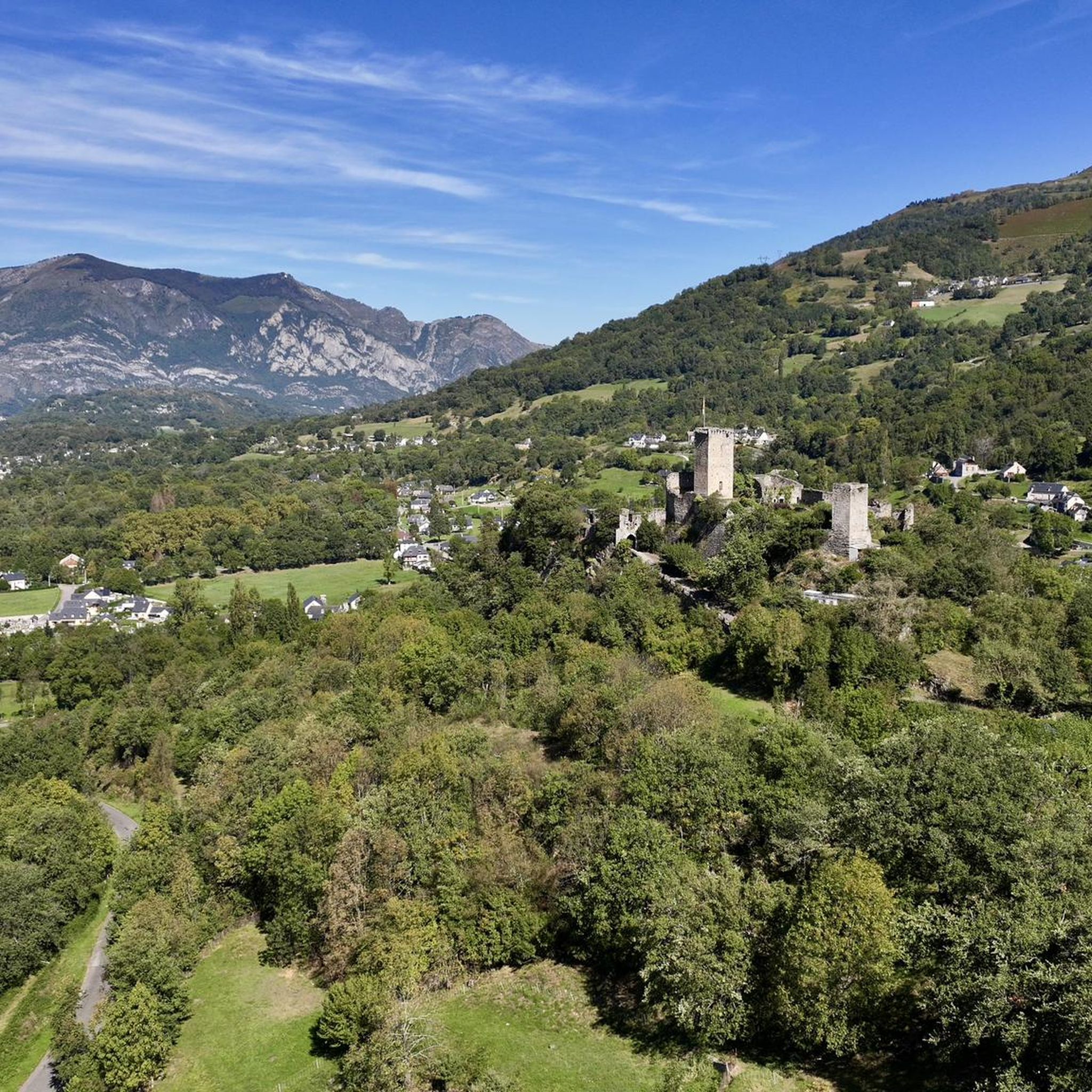
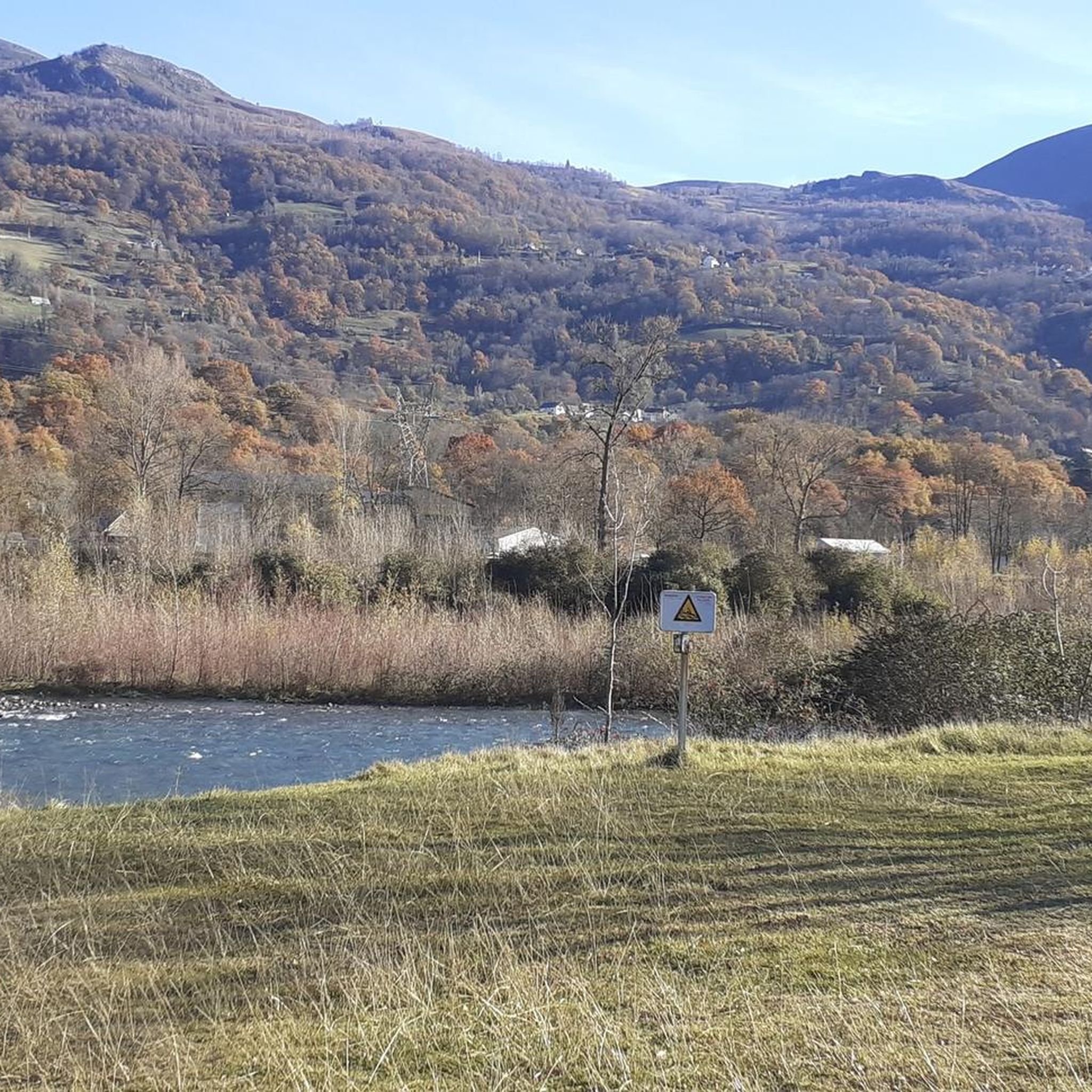
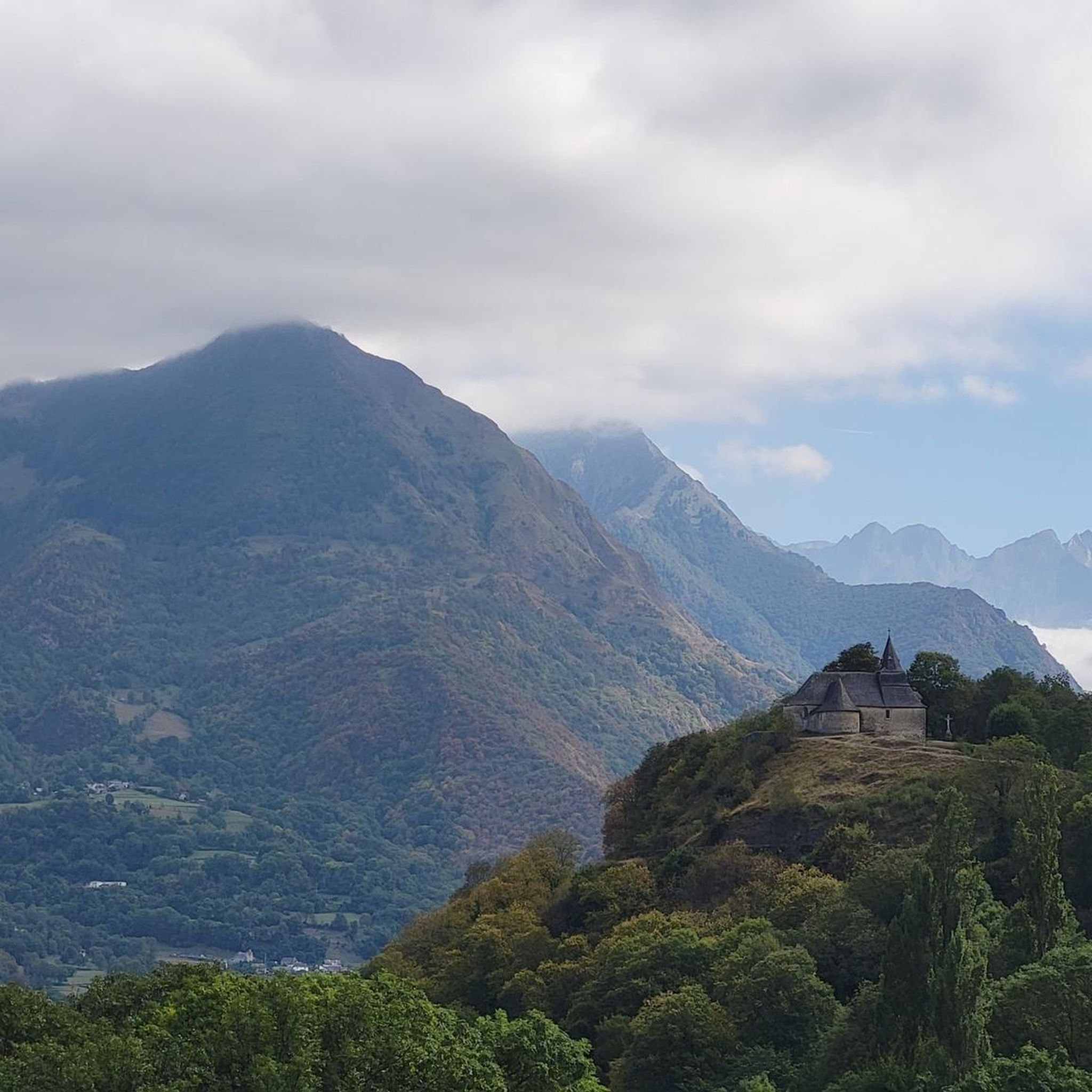
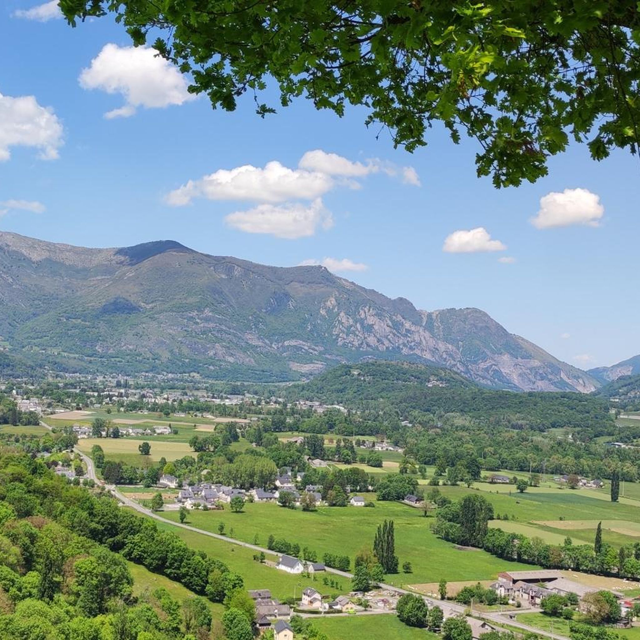
Tips from the Community

For your information, historically this was the arrival station for the cable car. It operated until the installation of the television and radio relay. After a storm, it's not uncommon for the relay to go into standby mode. TDF has a contract that runs from Monday to Friday. In case of a power outage, the weekend is reserved for reading or playing board games.
0
0

The climb to the peak requires good physical condition. You should also bring enough water as there are not many shaded sections.
0
0

A beautiful, quiet pass. Easily accessible by mountain bike from Bederet. The trail from here to Cauterets is a dream. A must-do if you're in the area!
0
0

viewpoint over the valley of the gift de pau.
1
0


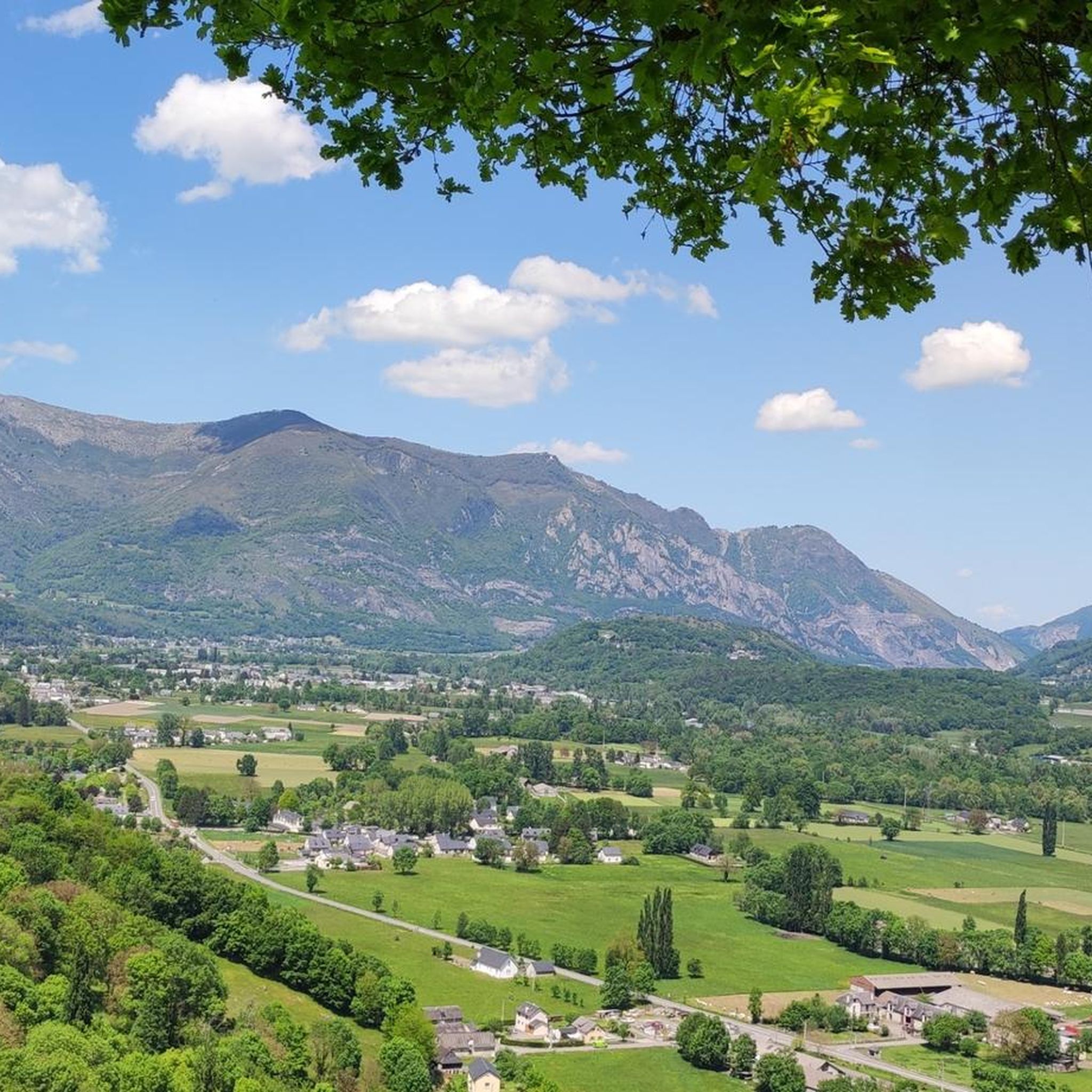
Magnificent view over the plain and the Gaves valley. On the other hand, it is not an old luxury hotel at the top, but the old cable car station. There is indeed a project to transform it into a shelter, but the funding is not forthcoming.
1
0

The peak of Pibeste culminates at 1,349 meters above sea level on the heights of the city. Its location allows to open a nice panorama on the chain of the Pyrenees as well as the valley which is below. A few meters from the top is an old luxury hotel.
1
1
The peak of Pibeste culminates at 1,349 meters above sea level on the heights of the city. Its location allows to open a nice panorama on the chain of the Pyrenees as well as the valley which is below. A few meters from the top is an old luxury hotel.
0
1
Frequently Asked Questions
How many mountaineering routes are available around Adast?
Adast offers a selection of 5 mountaineering routes, catering to various skill levels. These include 4 moderate and 1 difficult options, providing diverse experiences for mountaineers.
Are there any challenging mountaineering routes for experienced climbers?
Yes, for those seeking a more demanding experience, Adast features a difficult mountaineering route. The Pic du Cabaliros loop from Cauterets is an 11.9-mile (19.1 km) trail that typically takes over 7 hours to complete, involving significant elevation gains through high mountain terrain. Another challenging option is the Pic de Viscos – Col de Riou loop from Luz-Ardiden.
What is the typical duration for mountaineering routes in Adast?
The duration of mountaineering routes around Adast varies depending on the trail and your pace. Moderate routes like the Pic du Pibeste – Col des Portes loop from Ouzous can take around 4.5 hours, while more challenging ascents such as the Pic du Cabaliros loop from Cauterets may require over 7 hours.
Are there circular mountaineering routes available in Adast?
Yes, all the mountaineering routes listed for Adast are circular, offering the convenience of returning to your starting point without needing to retrace your steps. Examples include the Mount de Gez loop from Arras-en-Lavedan and the Pic du Cabaliros loop from La Tucoy.
What kind of natural landmarks can I expect to see along the mountaineering routes?
Mountaineering routes around Adast offer stunning views of prominent peaks and mountain passes. You can encounter landmarks such as Pibeste Peak, Mount de Gez, and various mountain passes like Col des Bordères. These routes provide expansive views of the surrounding mountainous environment.
What do other mountaineers enjoy most about the routes in Adast?
The mountaineering routes in Adast are highly regarded by the komoot community, boasting an average rating of 4.4 stars from over 5 reviews. Users frequently praise the challenging ascents, the panoramic views from the summits, and the well-defined mountain trails that characterize the region.
When is the best time of year to go mountaineering in Adast?
The best time for mountaineering in Adast is typically during the warmer months, from late spring to early autumn (May to October), when trails are generally clear of snow and weather conditions are more stable. Always check local weather forecasts and trail conditions before heading out, especially at higher elevations.
Are there any family-friendly mountaineering options in Adast?
While mountaineering routes generally require a good level of fitness, some of the moderate trails might be suitable for active families with older children. The Mount de Gez loop from Arras-en-Lavedan, at 4.9 miles (7.9 km), offers a balanced experience and could be a good option for families looking for a moderate challenge.
What essential gear should I bring for mountaineering in Adast?
For mountaineering in Adast, it's crucial to be well-prepared. Essential gear includes sturdy hiking boots, layered clothing suitable for changing mountain weather, a waterproof jacket, sufficient water and snacks, a map and compass or GPS device, and sun protection. Depending on the season and specific route, trekking poles and a headlamp might also be beneficial.
Where can I find parking near the trailheads for mountaineering routes?
Parking availability varies by trailhead. For routes starting from villages like Ouzous, Arras-en-Lavedan, or Cauterets, you can often find designated parking areas within or on the outskirts of the village. It's advisable to research specific trailhead parking options before your trip, especially during peak seasons.
Are there any lesser-known mountaineering routes in Adast that offer a unique experience?
Beyond the most popular trails, the Pic du Cabaliros loop from La Tucoy offers a fantastic moderate mountaineering experience. This 7-mile (11.3 km) route provides a different perspective of the region's peaks and valleys, often with fewer crowds than some of the more frequented paths.
Most popular attractions around Adast

Get inspired with the komoot mobile app


Explore more
Browse the best Mountain Hikes & Routes in other regions.
