The best MTB trails around Jou-Sous-Monjou
4.2
(38)
156
riders
25
rides
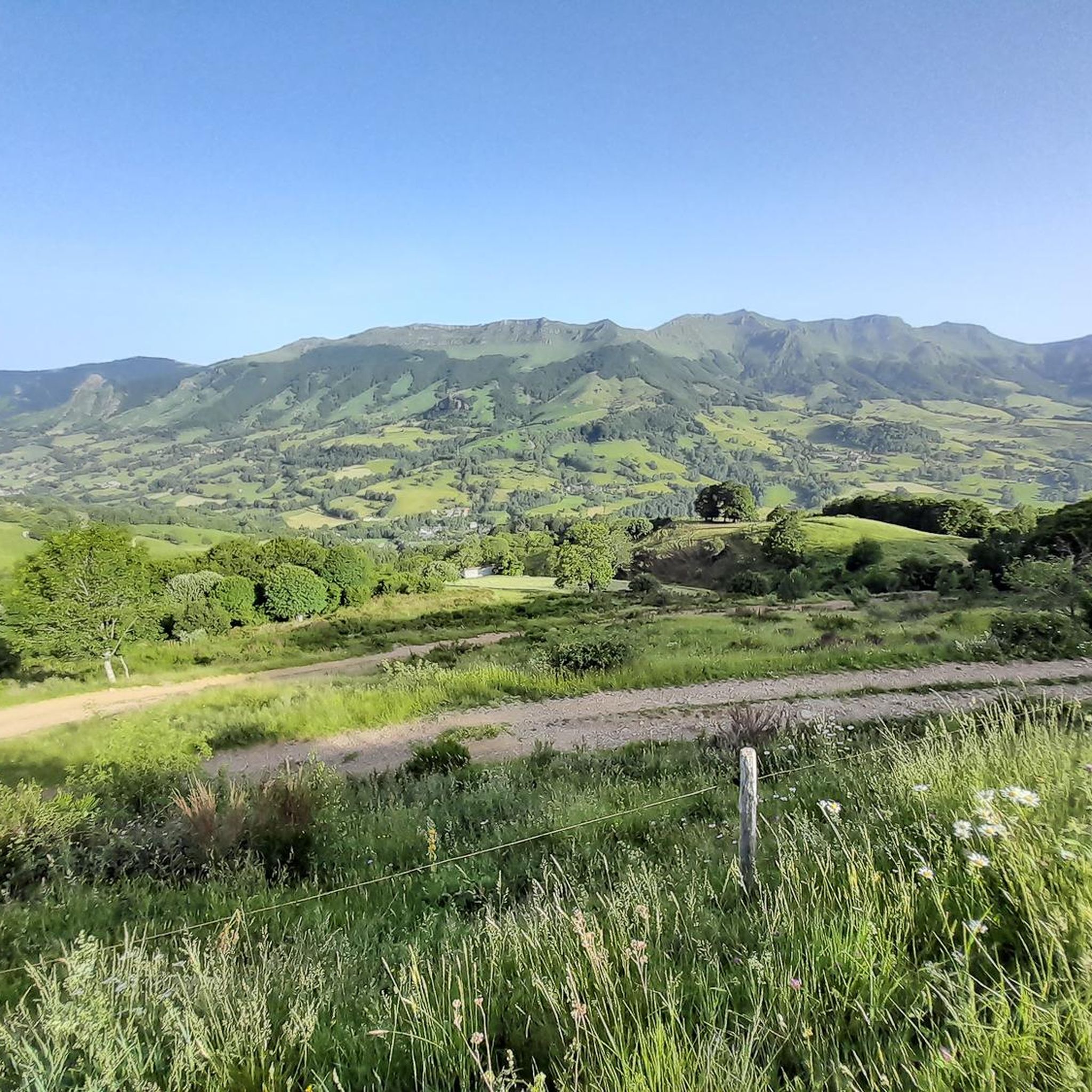
Mountain bike trails around Jou-Sous-Monjou are set within France's Cantal department, a region characterized by its mountainous terrain and the Goul valley. The area is part of the Cantalien volcanic massif, featuring unique geological formations and panoramic views. Riders can expect varied landscapes, including forests, high plateaus, and routes along rivers, with elevations ranging from the town's altitude of 780 meters to significant mountain passes.
Best mountain bike trails around Jou-Sous-Monjou
- The most popular mountain bike trail is Col de…
Last updated: May 11, 2026
4.3
(8)
26
riders
43.5km
04:01
1,000m
1,000m
Hard mountain bike ride. Very good fitness required. Advanced riding skills necessary.
5.0
(1)
9
riders
26.1km
02:21
600m
600m
Moderate mountain bike ride. Good fitness required. Advanced riding skills necessary.

Sign up for free
5.0
(3)
8
riders
39.8km
04:02
1,260m
1,270m
Hard mountain bike ride. Very good fitness required. Advanced riding skills necessary.
2.0
(1)
13
riders
23.8km
02:06
560m
560m
Moderate mountain bike ride. Good fitness required. Suitable for all skill levels.
5.0
(2)
7
riders
19.1km
01:35
320m
320m
Moderate mountain bike ride. Good fitness required. Suitable for all skill levels.
Get access to more routes and recommendations from other explorers.
Sign up for free
Already have an account?
Our route recommendations are based on thousands of hikes, rides, and runs completed by other people on komoot.
Start today with a free account
Your next adventure awaits.
Login or Signup
Tips from the Community


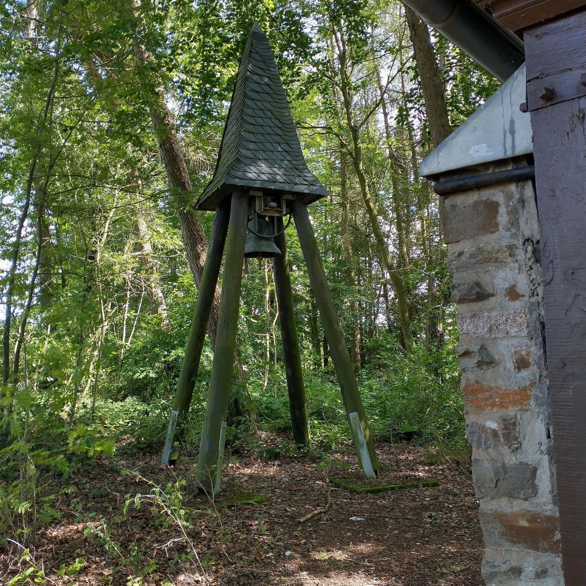
a very pleasant refreshing break in the shade...
1
0

a 360° view of the Cantal, Lozère, Puy de Dôme... breathtaking
0
0

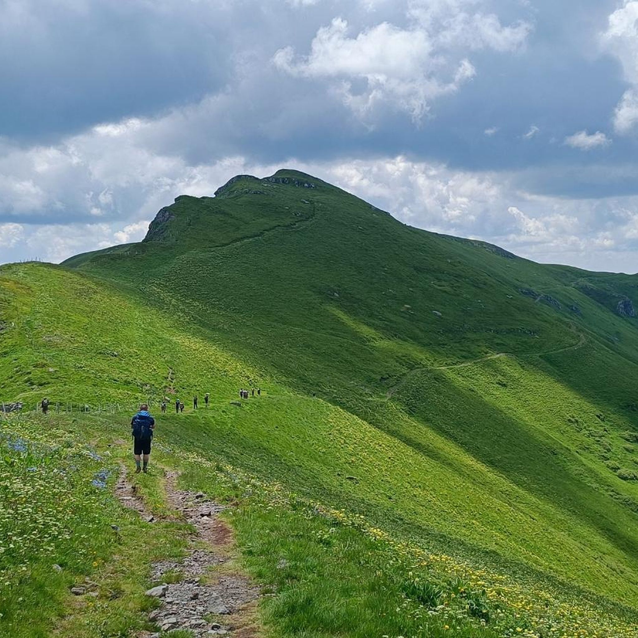
Magnificent hike with a big climb to reach the lead of Cantal (1855m altitude). It is better to take a jacket (it is very cold up there). The hike takes between 2h and 3h45 (with a break).
0
0

The Puy Brunet rises to 1,806 meters, slightly south of the Plomb du Cantal, on the ridge line from the Puy de Bâne to the Rocher de la Sagne du Porc.
1
0
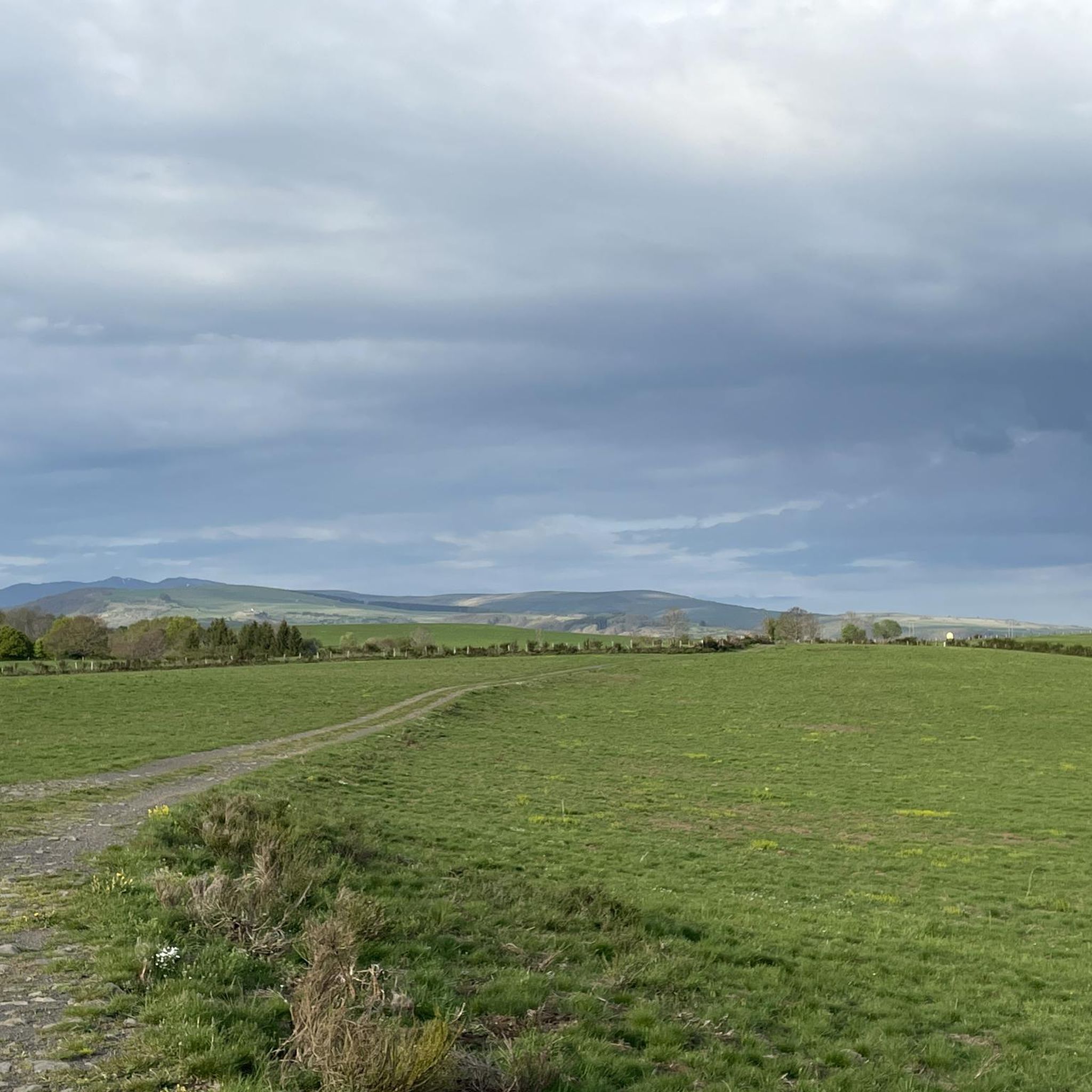
Typical landscape of Auvergne and Cantal, the ridge that separates the Cère and Brezons valleys offers a high plateau for animals in the summer pastures.
0
0
The Plomb du Cantal, with its 1,855 meters of altitude, is the highest peak in Cantal and the second in the Massif Central. It is located on a ridge line (from the puy de Bâne to the rock of Sagne du Porc) which separates the valleys of Cère, Alagnon, Brezons and Lagnon.
1
0
The Plomb du Cantal with its 1,855m altitude is the highest peak in Cantal and the second in the Massif Central. It is located on a ridge line (from Puy de Bâne to Rocher de la Sagne du Porc) which separates the valleys of Cère, Alagnon, Brezons and Lagnon.
0
0
Frequently Asked Questions
How many mountain bike trails are available around Jou-Sous-Monjou?
There are over 25 mountain bike trails around Jou-Sous-Monjou, offering a variety of experiences. The komoot community has explored more than 150 mountain bike routes in the area, with 28 specifically highlighted in this guide.
What kind of terrain can I expect on mountain bike trails near Jou-Sous-Monjou?
The terrain around Jou-Sous-Monjou is diverse, characterized by the Cantalien volcanic massif. You'll find routes through picturesque valleys like the Goul, challenging ascents to mountain passes such as Col de Curbousse, and trails winding through forests and high plateaus. The region offers a mix of paved and unpaved surfaces, catering to various preferences.
What is the best time of year for mountain biking in Jou-Sous-Monjou?
The region is generally best for mountain biking from spring through autumn. While specific weather conditions can vary, these seasons offer more favorable temperatures and trail conditions. Winter riding might be possible on some lower elevation trails, but higher passes can be challenging due to snow and colder weather.
Are there mountain bike trails suitable for beginners or families in Jou-Sous-Monjou?
Yes, there are trails suitable for various skill levels. While many routes offer moderate to difficult challenges, you can find easier options. For example, the region offers routes with mostly paved surfaces and less demanding elevation changes, making them suitable for families or those new to mountain biking. This guide features 2 easy and 20 moderate routes.
Are there challenging mountain bike routes for experienced riders?
Absolutely. Experienced riders will find plenty of challenges, especially on routes that ascend to the region's mountain passes. Trails like the View of the Auvergne Volcanoes – Plomb du Cantal loop from Vic-sur-Cère offer significant elevation gains and lead through volcanic landscapes. The area is part of the Cantalien volcanic massif, with nearby peaks like Plomb du Cantal and Puy Griou providing demanding ascents and exhilarating descents.
Are there any notable natural attractions or landmarks to see along the mountain bike trails?
Yes, the region is rich in natural beauty and interesting landmarks. You might encounter the scenic Roucole Waterfall, the dramatic Pas de Cère Gorges, or viewpoints like the Hangman's Rock. Some routes also pass traditional burons, such as the one on the Buron de la Tuilière loop from Saint-Clément, offering a glimpse into local heritage.
Can I find mountain bike routes that are circular or loop back to the start?
Many of the mountain bike routes around Jou-Sous-Monjou are designed as loops, allowing you to start and finish in the same location. Examples include the Col de Curbousse (997 m) – View of the Cantal Mountains loop from Vic-sur-Cère and the Vixouze Castle loop from Vic-sur-Cère.
Is it possible to rent mountain bikes in or near Jou-Sous-Monjou?
While Jou-Sous-Monjou itself is a small town, the wider Cantal department actively promotes mountain biking and offers infrastructure for outdoor pursuits. It's advisable to check with local tourism offices in larger nearby towns like Aurillac or Vic-sur-Cère for information on mountain bike rental facilities.
Are dogs allowed on the mountain bike trails around Jou-Sous-Monjou?
Generally, dogs are permitted on many trails in rural France, especially if kept on a leash. However, specific rules can vary depending on the land ownership (private, communal, national park areas). It's always best to check local signage or inquire with the regional tourism office for any specific restrictions on the trails you plan to ride.
What do other mountain bikers enjoy the most about mountain biking in Jou-Sous-Monjou?
The area is highly rated by the komoot community, with an average score of 4.3 stars from over 30 reviews. Reviewers often praise the diverse landscapes, from volcanic massifs to scenic valleys, and the variety of trails that cater to different skill levels. The challenging mountain passes and the opportunity to explore traditional burons are also frequently highlighted.
Are there any mountain bike routes that offer views of the Auvergne Volcanoes?
Yes, several routes provide stunning vistas of the Auvergne Volcanoes. A notable example is the View of the Auvergne Volcanoes – Plomb du Cantal loop from Vic-sur-Cère, which takes you through the dramatic volcanic landscapes of the region, offering panoramic views of the massif.
What is the average duration for mountain bike trails in this area?
The duration of mountain bike trails varies significantly based on distance and difficulty. For instance, a moderate route like the View of the Cantal Mountains – Rochers de Carlat loop from Badailhac might take around 1 hour 35 minutes, while a difficult trail such as the Col de Curbousse (997 m) – View of the Cantal Mountains loop from Vic-sur-Cère can take up to 4 hours.
Are there any specific mountain passes that are popular for mountain biking in the region?
The region is known for several iconic mountain passes that attract cyclists. While some are more road-cycling focused, the mountainous terrain means mountain bike routes often incorporate significant climbs. The Col de Curbousse (997 m) – View of the Cantal Mountains loop from Vic-sur-Cère is one such route that includes a notable mountain pass, offering rewarding views and challenging ascents.
Most popular attractions around Jou-Sous-Monjou

Get inspired with the komoot mobile app


Explore more
Browse the best MTB trails in other regions.
