The best running trails around Jou-Sous-Monjou
4.6
(8)
498
runners
78
runs
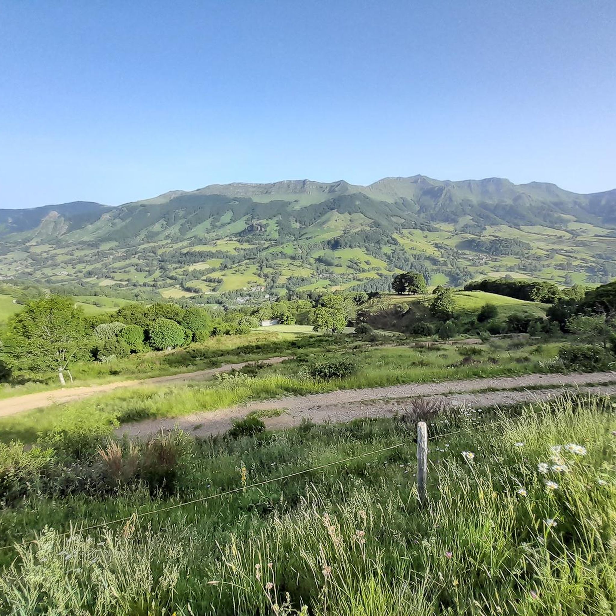
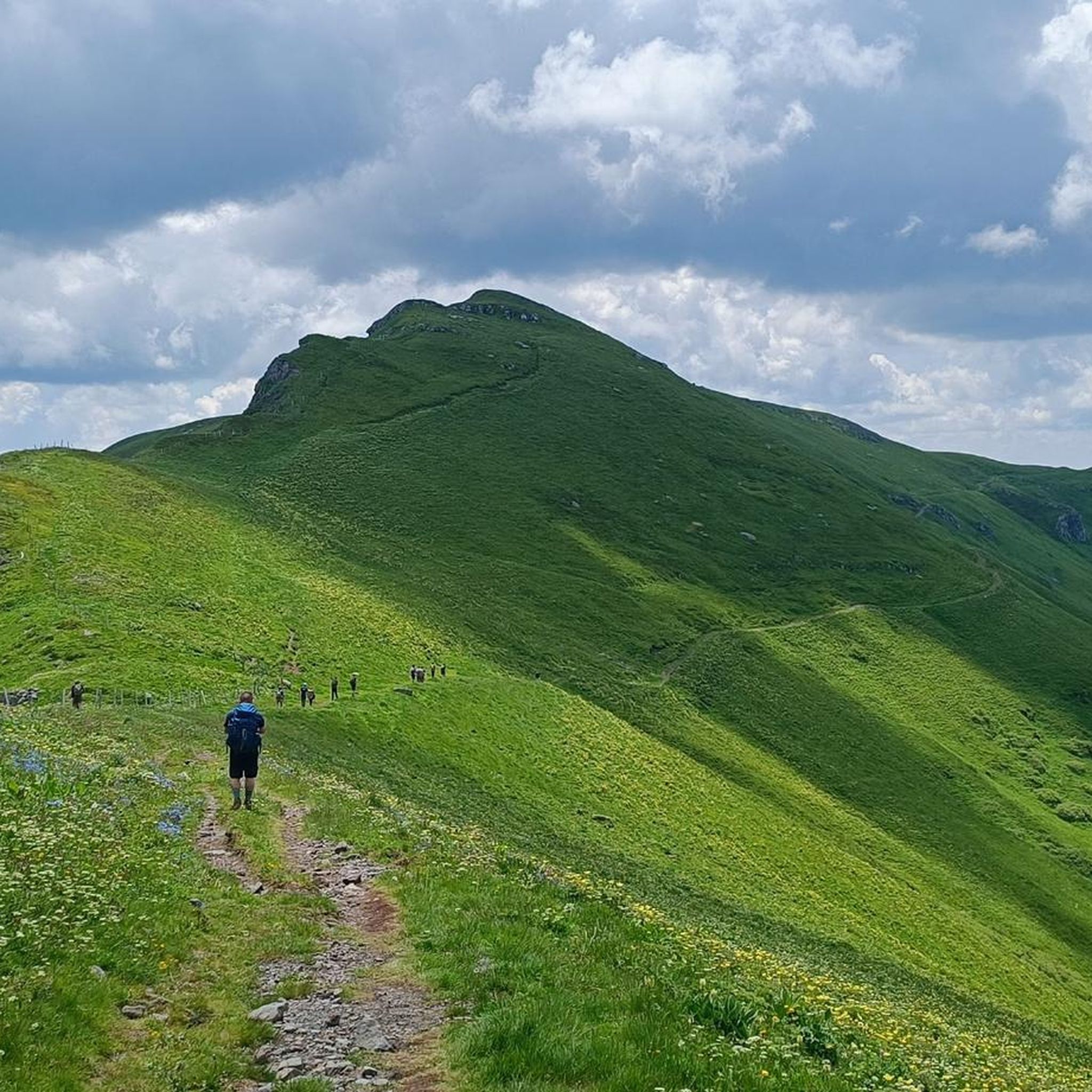
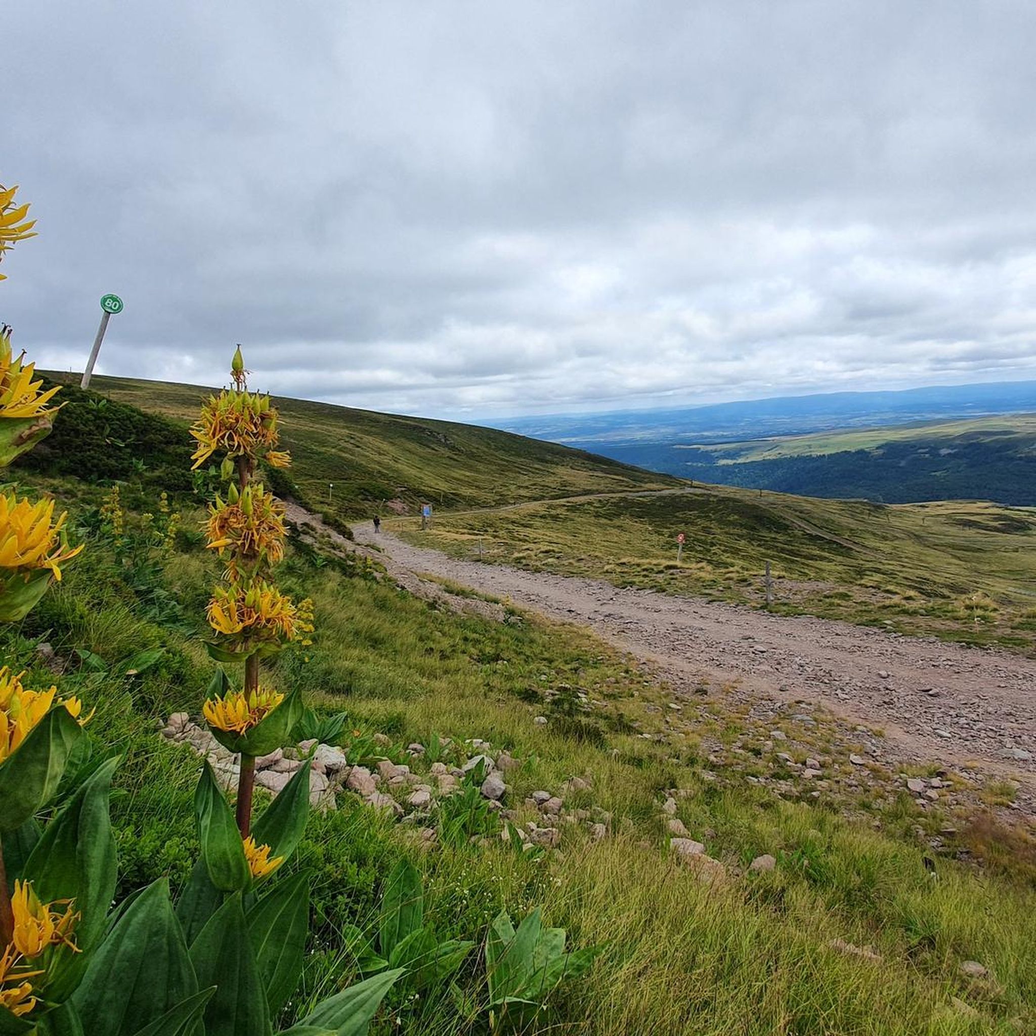
Jogging routes around Jou-Sous-Monjou are set within the upper Goul valley, offering a mountainous environment with varied terrain. The region is characterized by picturesque landscapes and access to significant natural features, including prominent peaks and waterfalls. Runners can expect routes with varied elevations, providing diverse challenges and scenic views across the valley.
Best jogging routes around Jou-Sous-Monjou
- The most popular jogging route is Running loop from Pailherols, a 6.4 miles (10.4 km) trail that takes 1 hour 10 minutes…
Last updated: May 18, 2026
19
runners
10.4km
01:11
270m
270m
Moderate run. Good fitness required. Mostly paved surfaces. Suitable for all skill levels.
11
runners
6.24km
00:41
90m
90m
Moderate run. Good fitness required. Mostly paved surfaces. Suitable for all skill levels.

Sign up for free
9
runners
8.68km
01:02
140m
140m
Moderate run. Good fitness required. Mostly paved surfaces. Suitable for all skill levels.
6
runners
7.86km
00:59
310m
310m
Hard run. Very good fitness required. Mostly paved surfaces. Suitable for all skill levels.
7
runners
12.3km
01:29
240m
240m
Moderate run. Good fitness required. Mostly paved surfaces. Suitable for all skill levels.
Get access to more routes and recommendations from other explorers.
Sign up for free
Already have an account?
Our route recommendations are based on thousands of hikes, rides, and runs completed by other people on komoot.
Start today with a free account
Your next adventure awaits.
Login or Signup
Frequently Asked Questions
How many running routes are available around Jou-sous-Monjou?
There are over 70 running routes around Jou-sous-Monjou, offering a wide variety of options for different skill levels and preferences. The komoot community has explored these trails over 500 times.
What kind of terrain can I expect on the jogging trails in Jou-sous-Monjou?
The jogging trails in Jou-sous-Monjou are set within the upper Goul valley, offering a mountainous environment with varied terrain. You can expect picturesque landscapes, varied elevations, and routes that provide diverse challenges and scenic views across the valley.
Are there any challenging trail running routes for experienced runners?
Yes, for experienced runners seeking a challenge, there are 47 difficult routes available. A notable option is the Running loop from Jou-sous-Monjou, which covers 7.8 km with over 300 meters of elevation gain. Additionally, the region's 'Parcours 66 Vert - La Butte de Monjou' is a dedicated trail-running course with significant ascent and descent.
Can I find any easy or beginner-friendly running paths in the area?
While many routes feature varied elevations, there is at least one easy route available. For a moderate option that's still accessible, consider the Running loop from Lotissement du Val de Cère, a 6.2 km trail that can be completed in about 40 minutes through local countryside.
Are there any circular running routes around Jou-sous-Monjou?
Yes, many of the routes are circular, allowing you to start and finish in the same location. Examples include the popular Running loop from Pailherols (10.4 km) and the Running loop from Vic-sur-Cère (8.3 km).
What natural features or landmarks can I see along the running routes?
The region is rich in natural beauty and historical sites. You can encounter stunning views of the Goul valley, and some routes might lead you near features like the Roucole Waterfall or the dramatic Pas de Cère Gorges. The 12th-century Romanesque church in Jou-sous-Monjou and the Manor of Escalmels are also notable points of interest.
Are there any waterfalls accessible near the jogging trails?
Yes, the region is known for its waterfalls. The Roucole Waterfall is a nearby attraction. Further afield, the Cascade de Liadouze (16km) and Cascade du Déroc (46km) offer scenic natural beauty, making for refreshing destinations or points of interest on longer excursions.
What do other runners say about the trails in Jou-sous-Monjou?
The running routes in Jou-sous-Monjou are highly rated by the komoot community, with an average score of 4.6 out of 5 stars from over 8 reviews. Runners often praise the varied terrain and the beautiful, mountainous environment of the Goul valley.
Is Jou-sous-Monjou a good destination for family-friendly running or walking?
While specific family-friendly running routes are not detailed, the extensive network of trails includes options across various difficulty levels. Many of the moderate routes, especially those through the local countryside, could be suitable for families looking for a scenic walk or a gentle jog together.
Are the running trails in Jou-sous-Monjou dog-friendly?
Generally, trails in rural, mountainous regions like Jou-sous-Monjou are welcoming to dogs, especially if kept on a leash. However, it's always best to check local signage or specific route descriptions for any restrictions, particularly in nature reserves or protected areas.
What are the best times of year to go running in Jou-sous-Monjou?
Given its mountainous environment, spring, summer, and early autumn generally offer the most pleasant conditions for running in Jou-sous-Monjou. During these seasons, you'll experience milder temperatures and lush landscapes. Winter running is possible but may require appropriate gear for colder weather and potential snow or ice at higher elevations.
Are there any viewpoints along the running routes for scenic breaks?
Absolutely. The region is known for its 'pretty points of view on the valley of Goul'. Prominent peaks like Plomb du Cantal and Puy Griou, though further afield, offer expansive views. Closer to the trails, you might find specific viewpoints such as Hangman's Rock or the Coyan Plateau - Saint-Curial Rock, providing stunning panoramas of the surrounding landscape.
Most popular attractions around Jou-Sous-Monjou

Get inspired with the komoot mobile app


Explore more
Browse the best Running Trails & Routes in other regions.
