Top 5 Mountain Passes around Hautes-Duyes
Best mountain passes around Hautes-Duyes are found in a region characterized by its diverse alpine terrain within the Alpes-de-Haute-Provence. The village serves as a gateway to local routes and is near the notable Col de Fontbelle. This area features a mix of accessible passes and challenging routes, offering varied experiences for outdoor enthusiasts. The landscape includes limestone cliffs, river valleys, and high-altitude environments.
Best mountain passes around Hautes-Duyes
- The most popular mountain passes is Col du Pas de Bonnet (886…
Last updated: September 2, 2026
Fontbelle Pass
Highlight • Mountain Pass
Translated by Google •
Tip by

Col du Pas de Bonnet (886 m)
Highlight • Mountain Pass
The first part, up to the village …
Translated by Google •
Tip by

Sign up now to discover places like this
Get recommendations on the best single tracks, peaks, & plenty of other exciting outdoor places.
Sign up for free
Col d'Hysope
Highlight • Mountain Pass
Geology enthusiasts will be able to distinguish the overlap of the Digne-les-Bains aquifer on that of Valensole.
Translated by Google •
Tip by

Col du Jas
Highlight • Mountain Pass
Translated by Google •
Tip by

Gravel Route from La Robine-sur-Galabre to Col de Fontbelle
Highlight (Segment) • Trail
This track has some passages at almost 20% …
Translated by Google •
Tip by

Start today with a free account
Your next adventure awaits.
Login or Signup
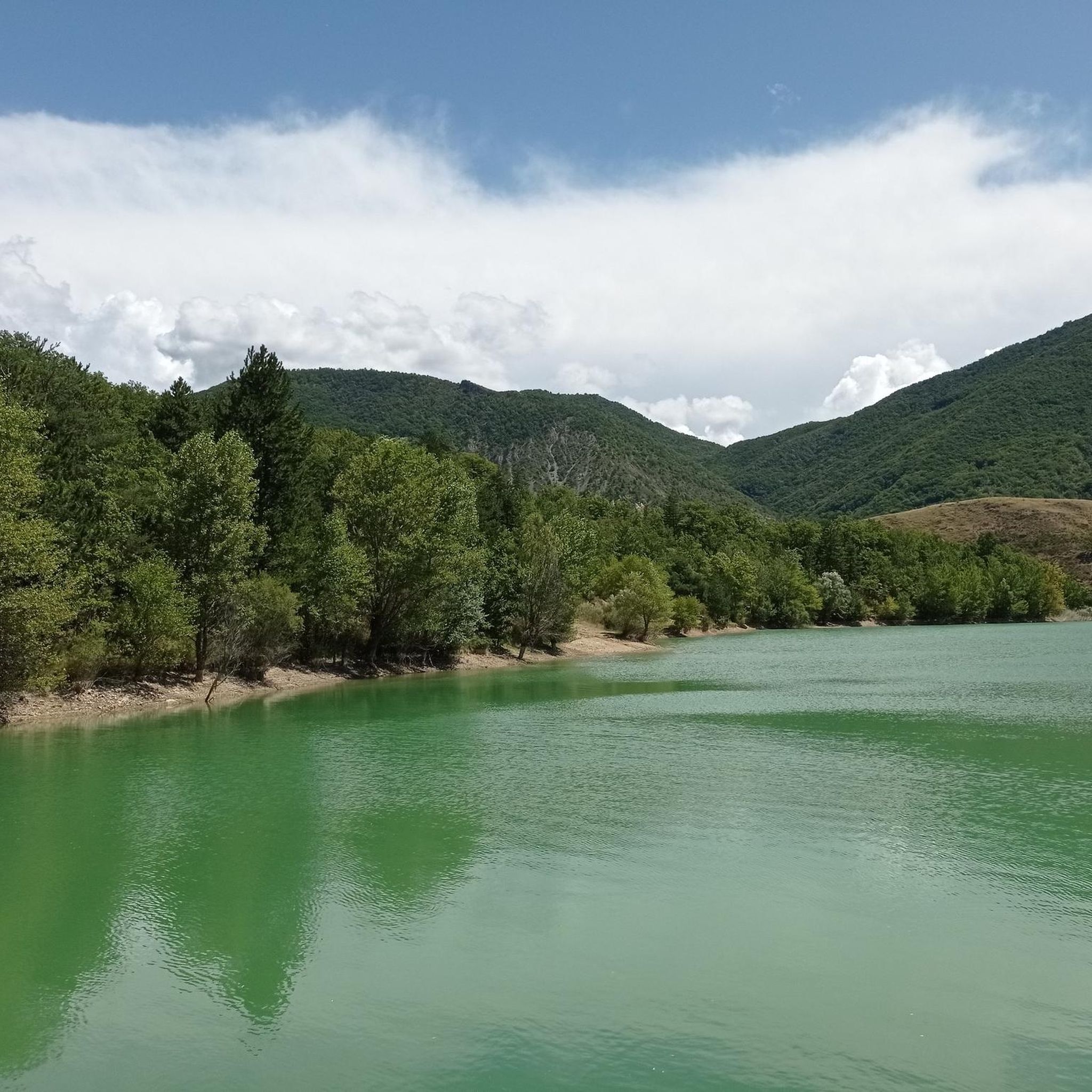
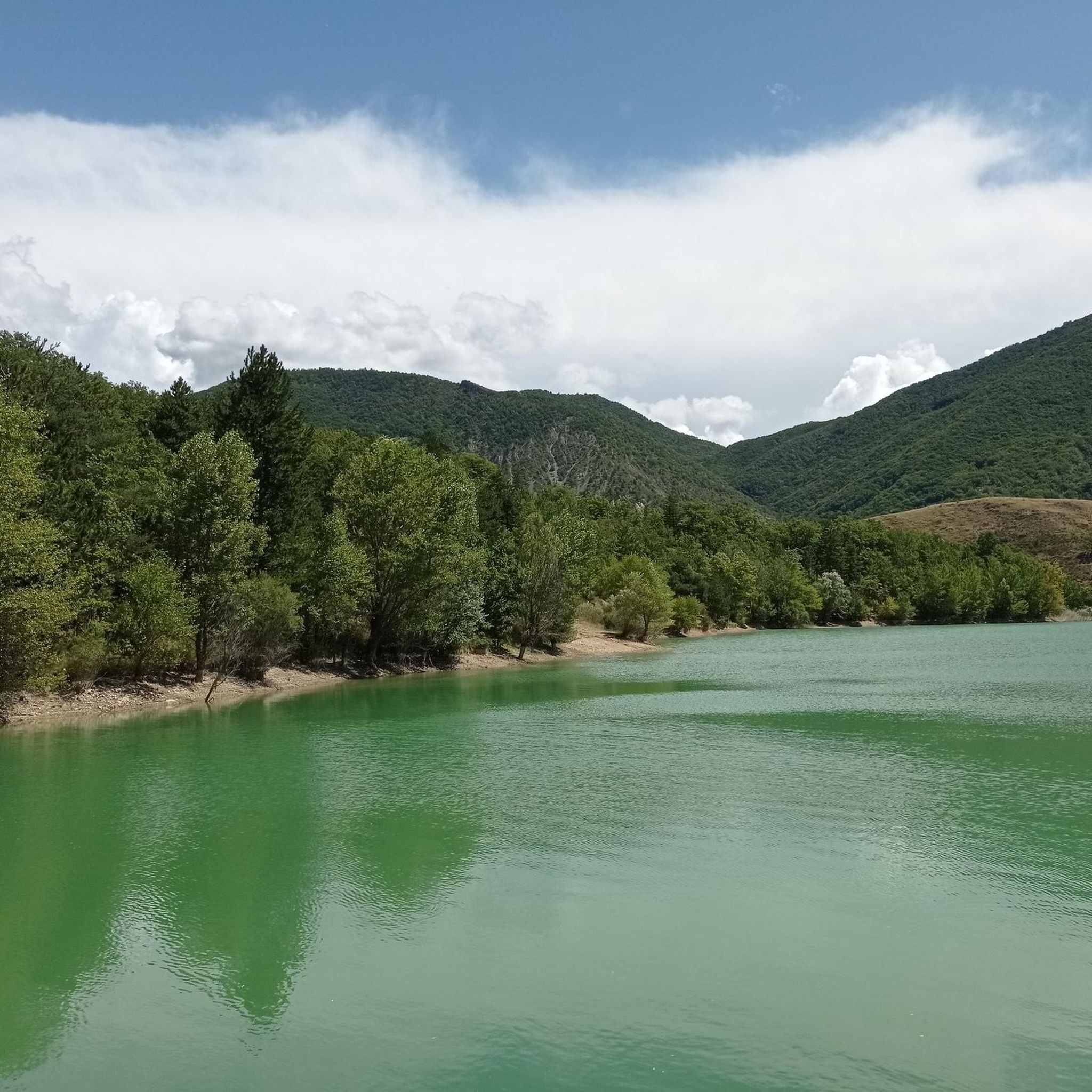
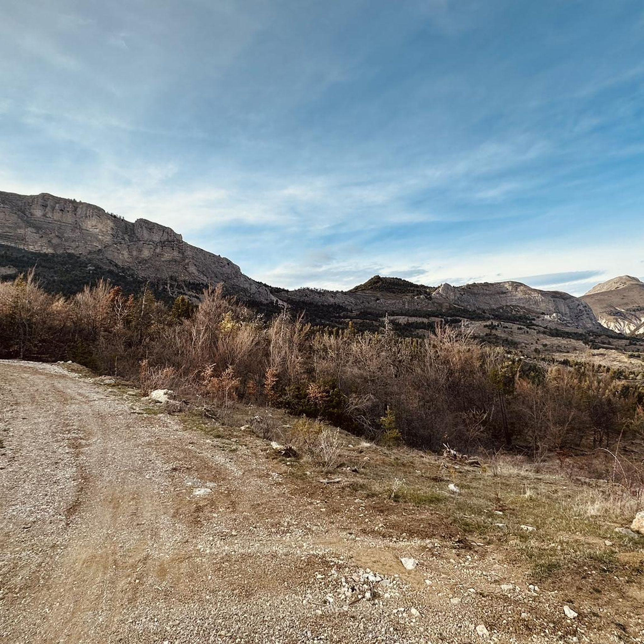
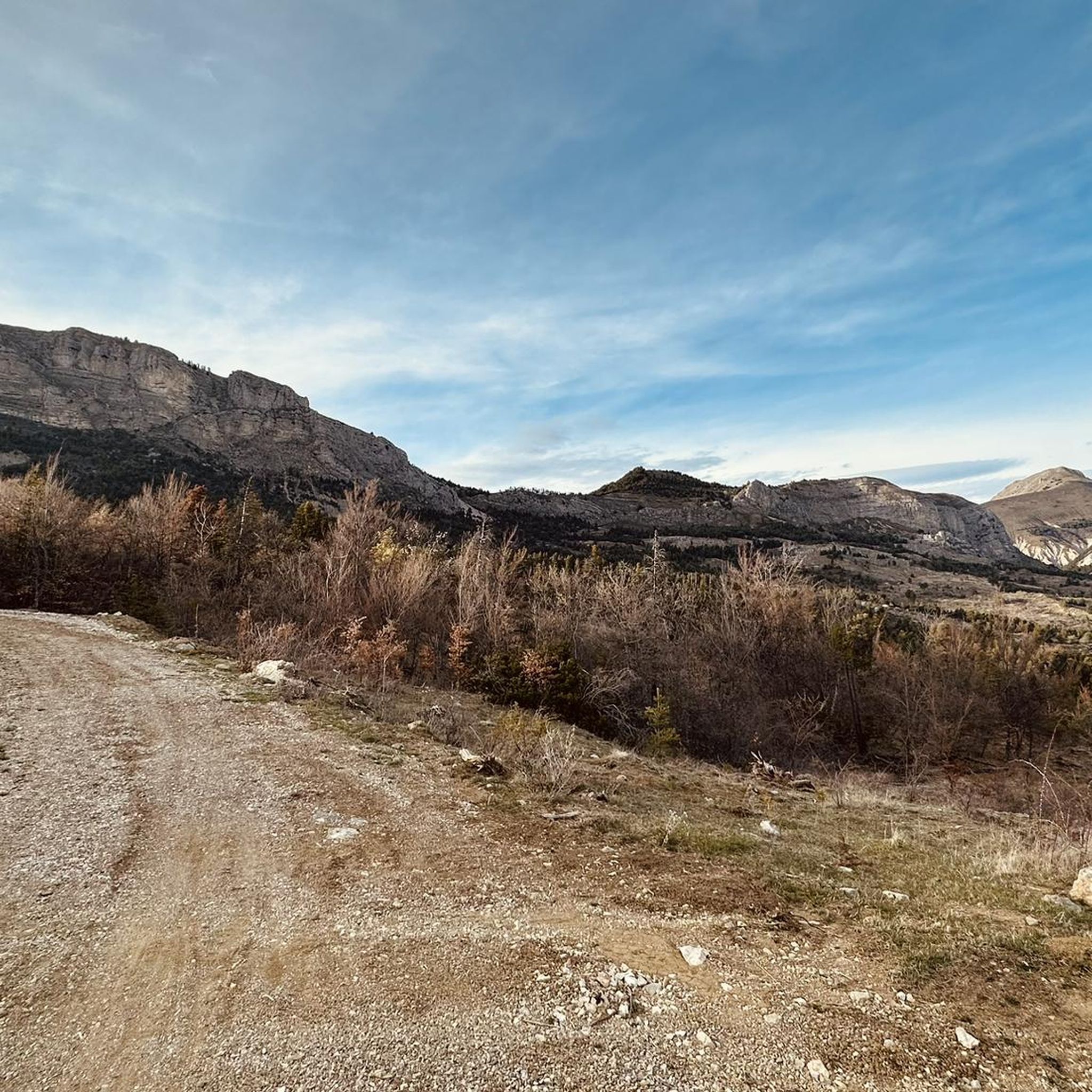

Tips from the Community

climb suitable for everyone, with very gentle and regular slopes
0
0

Starting from La Robine sur Galabre, we go up the gorges by road before turning off at Ainac on a gravel track. This track has some passages at almost 20% which will probably require a good development or pushing the bike a little. The track then allows you to reach the Col de Fontbelle by a nice, smooth descent. This climb is beautiful but physically demanding.
4
0

The Col du Jas culminates at 840 meters above a small forest. Accessible by a track or a path, it has the particularity of being close to the geological site of the ichthyosaur.
0
0

A great viewing platform is installed here.
0
0

Hyssope Pass is 1,236 meters above sea level. It has a view over the Duyes valley. Geology enthusiasts will be able to distinguish the overlap of the Digne-les-Bains aquifer on that of Valensole.
2
0
From Sisteron, the Col de Fontbelle is 26.3 kilometers of climbs with segments at 6 or 7%, and others between 1.5 and 5%. In your ascent, passing the intermediate Mézien pass after the 6th kilometer tells you that you have made the first part complicated and that you are starting the second part, long but less steep. On the open parts of the pass, you can see the mountain of Gueruen and the mountain of Mélan and its Grande Aiguille.
2
0


The Col de Fontbelle culminates at 1304m. From the village of Thoard it is a climb of almost 13km which comes in two parts. The first is the most difficult with sustained percentages over almost 9 km including 3 at more than 8% on average which will take you to the hamlet of Mélan then the intermediate pass of Hyssop (1236m) where moreover an exceptional panorama will offer to you (we don't make an effort for nothing anyway). The second part is relatively simple with lower percentages, barely 2.5 km at 3% average which joins the col de Fontbelle located in the forest in a VERY isolated way
3
0
Frequently Asked Questions
What are some notable mountain passes directly accessible from Hautes-Duyes?
While Hautes-Duyes itself is a starting point for local routes, the nearby Col de Fontbelle (1,304 m) is closely associated with the Duyes Valley. It's accessible via road and serves as a starting point for numerous hikes. Additionally, the Col du Pas de Bonnet (886 m) is a popular mountain pass that can be approached from Digne-les-Bains, offering a 7-kilometer climb.
Are there any mountain passes with unique natural or geological features?
Yes, the Col du Jas (840 m) is notable for its proximity to a geological site featuring an ichthyosaur. For geology enthusiasts, Col d'Hysope (1,236 m) offers views where you can distinguish the overlap of the Digne-les-Bains aquifer on that of Valensole.
What kind of views can I expect from the mountain passes in the region?
From Col d'Hysope, you'll find a superb view of the Duyes valley. The broader region, including passes like Col de Fontbelle, offers diverse landscapes ranging from limestone cliffs to river valleys and high-altitude panoramas.
Are there family-friendly options or easy walks near the mountain passes?
The Col de Fontbelle is known for its pleasant picnic areas with shaded tables and a discovery trail highlighting local flora, making it suitable for families. It also features a sports course for more active visitors.
What cycling opportunities are available around these mountain passes?
The Col de Fontbelle is a popular cycling destination, with a challenging 26.3 km ascent from Sisteron. There's also a demanding Gravel Route from La Robine-sur-Galabre to Col de Fontbelle with sections up to 20% gradient. For more cycling routes, you can explore the Road Cycling Routes around Hautes-Duyes or Cycling around Hautes-Duyes guides.
Are there hiking trails associated with the mountain passes?
Yes, the Col de Fontbelle is a starting point for numerous hikes, including one to the Pic de Géruen. Additionally, the local 'Circuit des cols' is a marked loop trail starting from Auribeau, offering a moderate 7.1 km hike through varied terrain. You can find more hiking options in the MTB Trails around Hautes-Duyes guide, which also includes trails suitable for hiking.
What is the difficulty level for cycling the mountain passes near Hautes-Duyes?
Cycling the Col de Fontbelle from Sisteron involves a challenging 926 m elevation gain over 26.3 km. The Gravel Route from La Robine-sur-Galabre to Col de Fontbelle is also physically demanding with sections up to 20% gradient. The Col du Pas de Bonnet from Digne-les-Bains has an average gradient of 4.5% over 7 km, with some steeper sections.
What is the best time of year to visit the mountain passes in this region?
While local passes like Col de Fontbelle are generally accessible, higher passes in the wider region, such as Col du Galibier, are typically open to vehicles from late May to mid-October, depending on snow conditions. For hiking and cycling, late spring through early autumn usually offers the most pleasant weather.
Are there any historical connections to the mountain passes around Hautes-Duyes?
The Col de Fontbelle has a notable history as a regular feature in the Rallye Monte-Carlo, having been used more than 25 times since 1973.
What are some of the wider regional mountain passes that are significant attractions?
Beyond the immediate vicinity, the broader Alpes-de-Haute-Provence and Hautes-Alpes regions boast legendary passes like the Col du Galibier, Col de l'Izoard, Col du Lautaret, Col de Granon, Col de la Bonette, Col de Vars, and Col de la Cayolle, all renowned for their scenic beauty and challenging routes.
What kind of terrain can I expect on the mountain passes and trails?
The region features diverse alpine terrain, including imposing limestone cliffs, river valleys, and high-altitude environments. Trails can range from marked loop trails through old agricultural areas to challenging gravel tracks with steep gradients, offering varied experiences for outdoor enthusiasts.
Where can I find more information about the 'Circuit des cols' hiking route?
The 'Circuit des cols' is a marked loop trail that starts from Auribeau, behind the Château d'Auribeau in Hautes-Duyes. You can find more details about this moderate 7.1 km hike with an elevation gain of 280 meters on the Tourisme Alpes-Haute-Provence website.
Most popular routes around Hautes-Duyes
Most popular attractions around Hautes-Duyes

Get inspired with the komoot mobile app


Explore more
See even more epic mountain passes by checking out these guides around Hautes-Duyes:
