The best running trails around Hautes-Duyes
4.2
(18)
794
runners
30
runs
Jogging around Hautes-Duyes offers a challenging experience through a landscape characterized by significant elevation changes and natural features. The region features prominent hills and mountain passes, with routes often leading through forested areas and past high-altitude lakes. The terrain is generally rugged, providing a demanding environment for runners.
Best jogging routes around Hautes-Duyes
- The most popular jogging route is Les Monges and lac des Monges - loop trail, a 8.5 miles (13.7 km) trail that takes 1 hour 56…
Last updated: June 25, 2026
2
runners
13.7km
01:56
580m
580m
Hard run. Very good fitness required. Sure-footedness, sturdy shoes and alpine experience required.
13
runners
14.6km
02:24
900m
900m
Hard run. Very good fitness required. Mostly paved surfaces. Suitable for all skill levels.

Sign up for free
6
runners
11.2km
01:22
350m
350m
Hard run. Very good fitness required. Mostly paved surfaces. Suitable for all skill levels.
9
runners
13.4km
01:53
550m
550m
Hard run. Very good fitness required. Mostly paved surfaces. Suitable for all skill levels.
5.0
(2)
9
runners
4.11km
00:27
70m
70m
Easy run. Great for any fitness level. Mostly paved surfaces. Suitable for all skill levels.
Get access to more routes and recommendations from other explorers.
Sign up for free
Already have an account?
Our route recommendations are based on thousands of hikes, rides, and runs completed by other people on komoot.
Start today with a free account
Your next adventure awaits.
Login or Signup

Tips from the Community

Thoard is a dynamic medieval village. The town is full of streets and galleries. The bell tower of the 12th century church dominates the city perched on its rocky outcrop. We enjoy an ice cream there or sit at the inn. Village festivals punctuate the lives of residents throughout the year in this town where the surrounding area is concentrated. Beautiful views of the lavender fields make it a destination that smells of Provence.
2
0
From Sisteron, the Col de Fontbelle is 26.3 kilometers of climbs with segments at 6 or 7%, and others between 1.5 and 5%. In your ascent, passing the intermediate Mézien pass after the 6th kilometer tells you that you have made the first part complicated and that you are starting the second part, long but less steep. On the open parts of the pass, you can see the mountain of Gueruen and the mountain of Mélan and its Grande Aiguille.
2
0


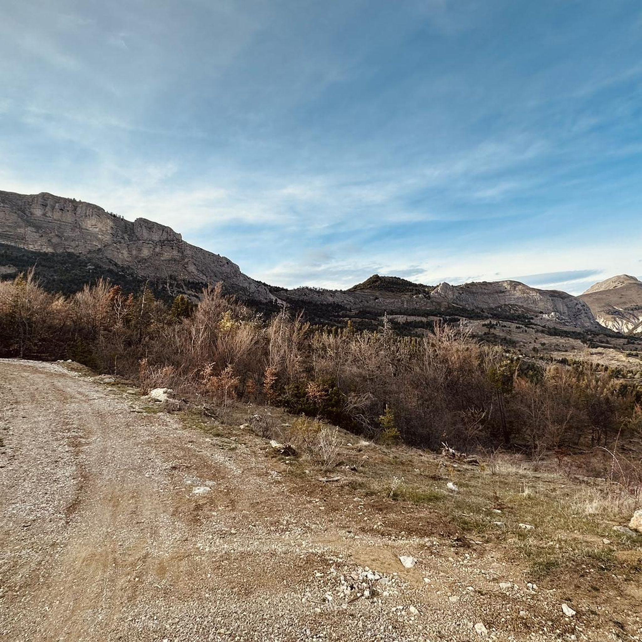
The Col de Fontbelle culminates at 1304m. From the village of Thoard it is a climb of almost 13km which comes in two parts. The first is the most difficult with sustained percentages over almost 9 km including 3 at more than 8% on average which will take you to the hamlet of Mélan then the intermediate pass of Hyssop (1236m) where moreover an exceptional panorama will offer to you (we don't make an effort for nothing anyway). The second part is relatively simple with lower percentages, barely 2.5 km at 3% average which joins the col de Fontbelle located in the forest in a VERY isolated way
3
0

The summit offers a panoramic view of the Écrins massif and the Ubaye valley. Spectacular !
0
0
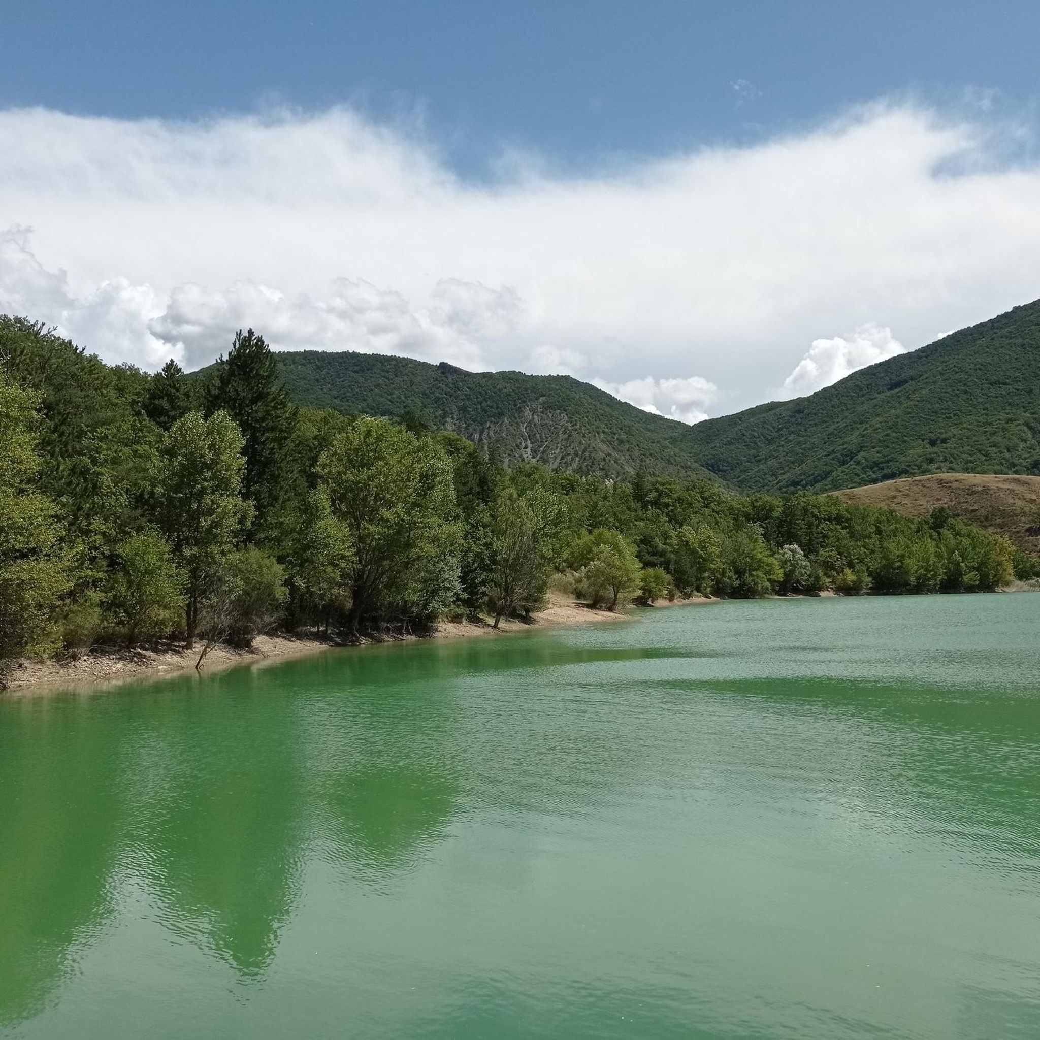
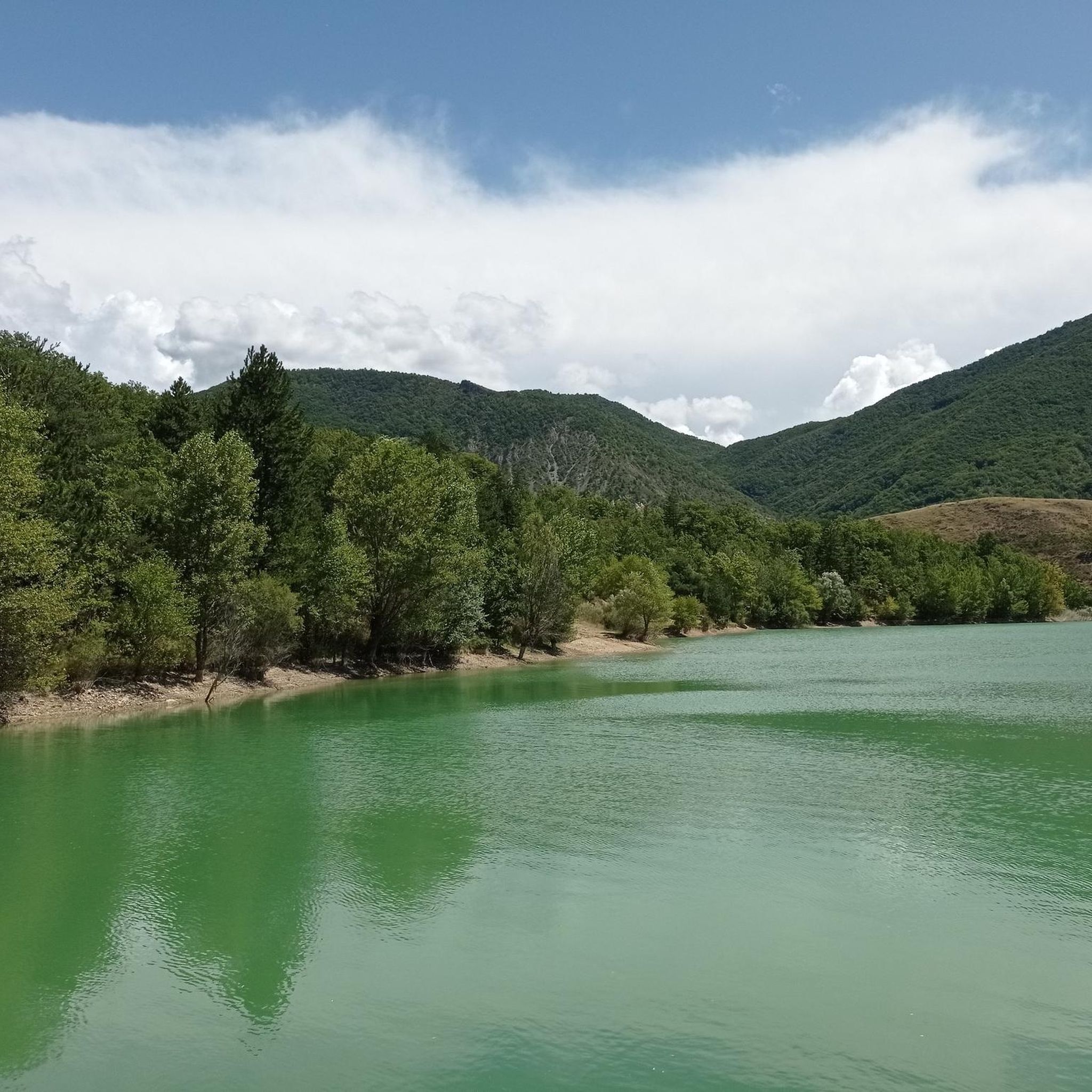
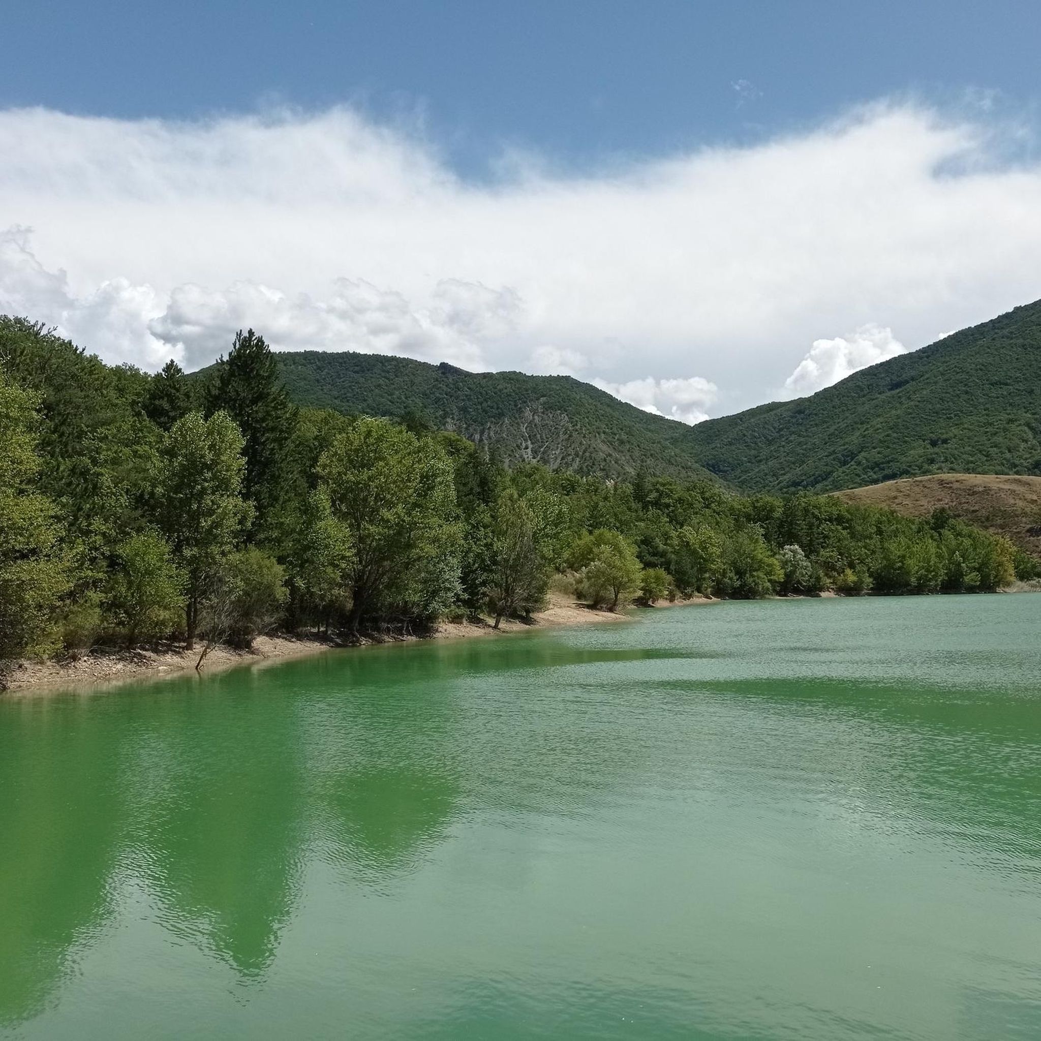
Pretty mountain lake easily accessible by Esparron. The path from here continues towards the Col de Clapouse and the magnificent Monges.
0
0
Located at 2,115 meters, Les Monges is the highest point of the Digne Pre-Alps and offers beautiful views of the region. The hike from Esparron is varied and is done along the Lac des Monges, through the forest and the mountain pastures.
1
0

The Col de Fontbelle from Sisteron is 25km long with an average gradient of 3%.
4
0
Frequently Asked Questions
How many running routes are available in Hautes-Duyes?
There are around 25 dedicated running routes in Hautes-Duyes, offering a variety of challenges across the region's rugged terrain.
Are there any easy jogging routes for beginners in Hautes-Duyes?
While many routes in Hautes-Duyes are challenging, there is at least one easy jogging route available. Most trails feature significant elevation changes, making them more suitable for intermediate to advanced runners.
What kind of terrain can I expect on jogging trails in Hautes-Duyes?
Jogging trails in Hautes-Duyes are characterized by rugged, hilly terrain with significant elevation changes. You'll often find yourself running through forested areas, past mountain passes, and near high-altitude lakes.
Are there any circular jogging routes in Hautes-Duyes?
Yes, several circular routes are available. For example, the Les Monges and lac des Monges - loop trail offers a scenic round trip, and the Les Monges – Coste Belle Summit loop from Authon provides extensive views on a challenging circular path.
What are some scenic highlights or natural monuments I can see while running in Hautes-Duyes?
The region offers stunning natural beauty. Along your runs, you might encounter impressive summits like Les Monges and Coste Belle Summit, or geological formations such as the Clue de Barles canyon. Keep an eye out for unique natural monuments like the Ichthyosaur Fossil.
Are there any long-distance running trails in Hautes-Duyes?
Hautes-Duyes features several longer running trails. The Les Monges – Coste Belle Summit loop from Authon is a difficult 9.0-mile (14.6 km) path, and the Les Monges and lac des Monges - loop trail covers 8.5 miles (13.7 km).
What do other runners say about the trails in Hautes-Duyes?
The running routes in Hautes-Duyes are highly regarded by the komoot community, with an average rating of 4.5 stars from over 15 reviews. Runners often praise the challenging nature of the trails and the beautiful mountain scenery.
Are there any running routes that pass through mountain passes?
Yes, the region is known for its mountain passes. Routes like the Col de Fontbelle (1304 m) – Fontbelle Pass loop from Col de Fontbelle directly incorporate these features. You can also explore highlights like Col du Pas de Bonnet (886 m) and Col d'Hysope.
Are the running trails in Hautes-Duyes suitable for advanced runners?
Absolutely. Many of the routes in Hautes-Duyes are specifically suited for advanced runners due to their significant elevation gains, rugged terrain, and longer distances. The region offers a demanding environment perfect for experienced trail runners.
Can I find less crowded jogging routes in Hautes-Duyes?
While some routes are popular, the extensive network of trails means you can often find quieter paths, especially on less-trafficked days or by exploring some of the more challenging options. The Running loop from bassin DFCI is one option that might offer a more secluded experience.
What is the best time of year for jogging in Hautes-Duyes?
The best time for jogging in Hautes-Duyes is generally from late spring to early autumn when the weather is milder and trails are clear of snow. During winter, some higher-altitude routes may be inaccessible or require specialized gear due to snow and ice.
Are there any running routes that offer views of high-altitude lakes?
Yes, the region features high-altitude lakes. The Les Monges and lac des Monges - loop trail is a prime example, offering a scenic loop that includes a mountain lake.
Most popular routes around Hautes-Duyes
Most popular attractions around Hautes-Duyes

Get inspired with the komoot mobile app


Explore more
Browse the best Running Trails & Routes in other regions.
