The best mountain hikes around Saccourvielle
4.8
(9)
37
hikers
3
hikes
Mountaineering around Saccourvielle offers a diverse landscape within the French Pyrénées, characterized by majestic mountainous terrain and significant altitude variations. The region features rocky ridges, valleys, and a diverse hydrography including the Pique river, contributing to its scenic beauty. Peaks in the area provide challenging ascents and panoramic views, making it a compelling destination for outdoor enthusiasts.
Best mountaineering routes around Saccourvielle
- The most popular mountaineering route is Bridge near Lake Oô – Lac d'Oô loop from Granges d'Astau,…
Last updated: May 11, 2026
4.5
(6)
28
hikers
Moderate mountaineering route. Good fitness required. Mostly accessible paths. Sure-footedness required.
5.0
(3)
7
hikers
13.1km
06:21
950m
950m
Hard mountaineering route. Very good fitness required. Mostly accessible paths. Sure-footedness required.

Sign up for free
3
hikers
6.27km
02:24
370m
370m
Moderate mountaineering route. Good fitness required. Mostly accessible paths. Sure-footedness required.
Our route recommendations are based on thousands of hikes, rides, and runs completed by other people on komoot.
Start today with a free account
Your next adventure awaits.
Login or Signup


Tips from the Community


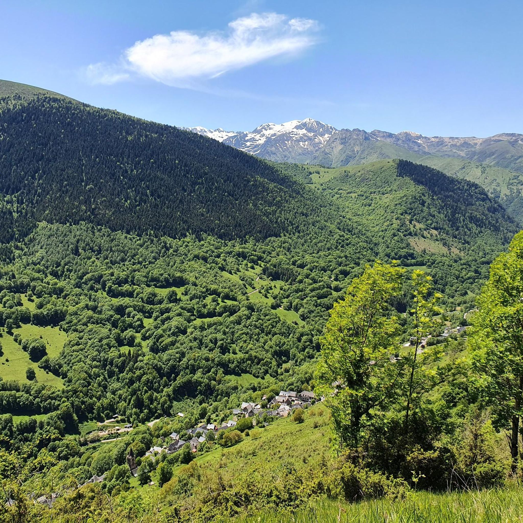
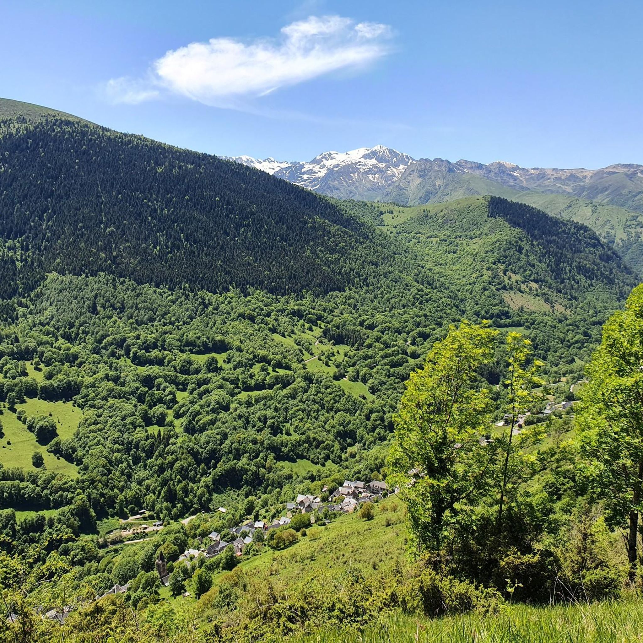
Here the valley opens up to reveal a pretty plain. Continue up the valley to Lake Oô, to enjoy more magnificent views.
1
0

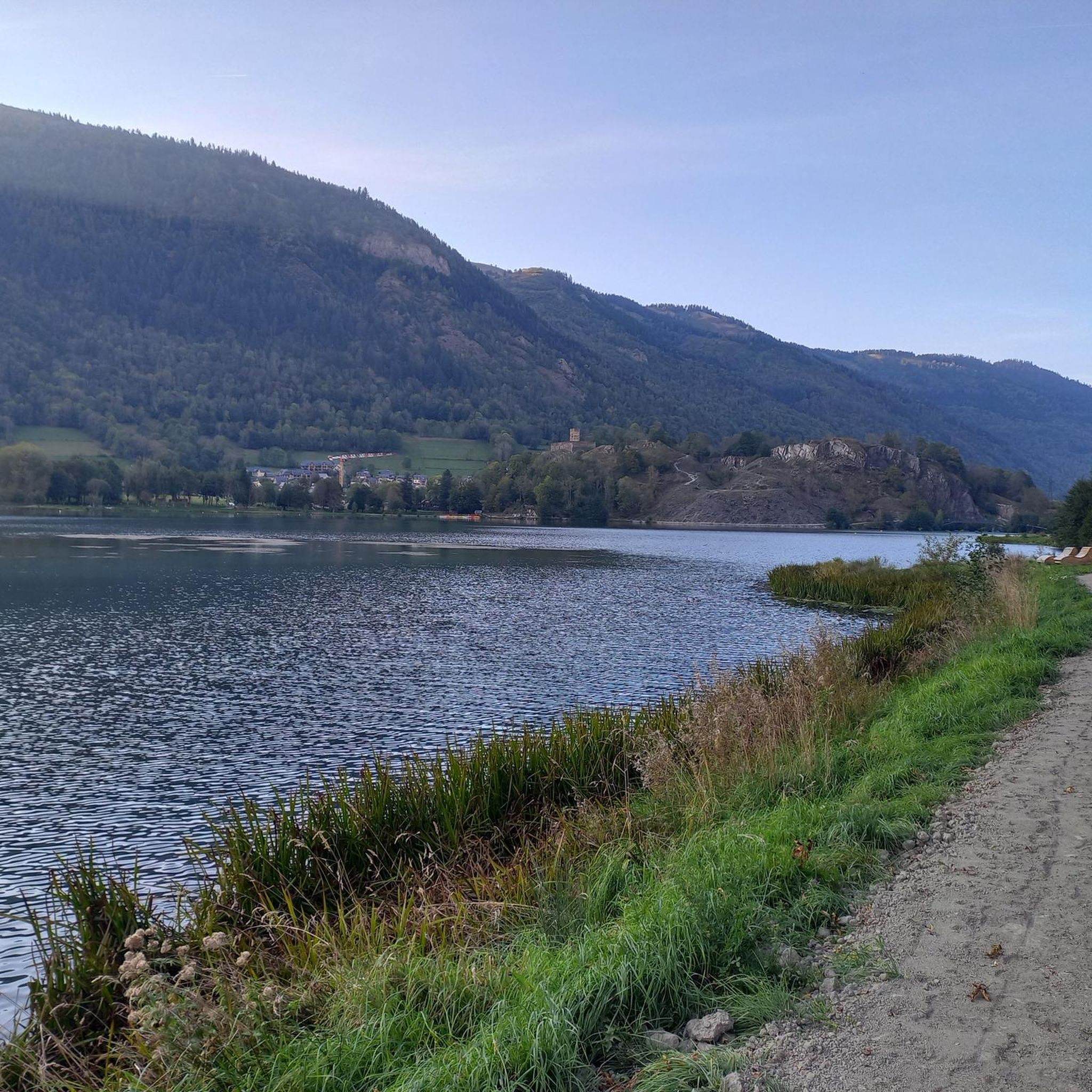
Hike to the stunning Lac d’Oô, a beautiful glacial lake nestled in the Pyrenees. As you approach the lake, you’ll be treated to breathtaking views of its clear, turquoise waters, surrounded by sheer cliffs and lush forest. The hike is moderately challenging, with rocky paths leading to a perfect viewpoint where the lake and surrounding peaks create a truly picturesque scene. Take some time to appreciate the tranquility of the area, where you can also catch a glimpse of the impressive Oô waterfall cascading down the mountainside.
0
0

Beautiful turquoise blue lake and stuff
0
0

Next to the Lac d'Oô bivouac you have the best point of view, the most axial, to admire the Lac d'Oô waterfall.
0
0

A nice place to stop off after the hike. The car park is generously dimensioned, since the Lac d'Oô and the Lac d'Espingo are popular hiking destinations, you should still come early to get a parking space.
0
0

Lac Vert, made up of three basins, is located at an altitude of 2,004 metres. Nestled at the foot of the Pic du Maupas in a green setting, this lake suggests a pleasant break.
0
0
Located in the heart of the Pyrenees, at the foot of Lac d'Oô, the Granges d'Astau offer a restaurant, a bar and a gîte on the GR 10 trail.
1
0
Frequently Asked Questions
How many mountaineering routes are available around Saccourvielle?
There are 7 mountaineering routes available around Saccourvielle, offering a range of experiences from moderate to difficult. These routes are highly rated by the komoot community, with an average score of 4.7 stars.
What are the typical difficulty levels for mountaineering routes in this region?
The mountaineering routes around Saccourvielle primarily feature moderate and difficult trails. You'll find 3 moderate routes and 4 difficult routes, providing options for various skill levels.
What natural features or landmarks can I expect to see on these routes?
The region is rich in natural beauty. Many routes offer stunning views of the Pyrenean landscape, including the Pique river and glacial features. You can also discover mountain passes like the Peyresourde Pass or the Port de Balès, and enjoy the serene atmosphere of places like the Granges of Astau.
Are there any mountain huts or refuges available along the trails?
Yes, there are several mountain huts and refuges in the area that can serve as resting points or overnight stays. Notable options include the Granges of Astau and the Saunères Hut, which offers views of the Luchonnais chain.
What do other mountaineers say about the routes around Saccourvielle?
The mountaineering routes in Saccourvielle are highly regarded by the komoot community, boasting an impressive average rating of 4.7 stars from over 20 reviews. Nearly 100 mountaineers have explored this varied terrain, often praising the dramatic Pyrenean peaks, glacial features, and lush valleys.
Are there any circular mountaineering routes near Saccourvielle?
Yes, several routes are designed as loops. For example, the Bridge near Lake Oô – Lac d'Oô loop from Granges d'Astau is a challenging 7.9-mile route, and the View of the plain – View of the Lac d'Oô waterfall loop from Granges d'Astau offers a moderate 4.3-mile option.
Are there any routes that feature waterfalls?
Absolutely! The region is known for its diverse hydrography. You can explore the Waterfalls of the Oô Valley – Lac Vert Waterfalls loop from Les Bourdalès, which is an 8.1-mile difficult trail, or the View of the plain – View of the Lac d'Oô waterfall loop from Granges d'Astau for a moderate experience.
How long do mountaineering routes typically take in this area?
Route durations vary based on difficulty and distance. For instance, the moderate View of the plain – View of the Lac d'Oô waterfall loop from Granges d'Astau typically takes around 2 hours 38 minutes, while more challenging routes like the Waterfalls of the Oô Valley – Lac Vert Waterfalls loop from Les Écharts can take over 8 hours.
What is the best time of year for mountaineering in Saccourvielle?
The Pyrenees, including the Saccourvielle area, offer mountaineering opportunities across different seasons. While summer provides more accessible conditions for many routes, the region's 'rocky ridges and sparkling glaciers' can be explored year-round, with appropriate gear and experience. Always check local weather and trail conditions before heading out.
Are there any family-friendly mountaineering options in Saccourvielle?
While many routes are challenging, some moderate options might be suitable for families with older children or those accustomed to mountain hiking. The View of the plain – View of the Lac d'Oô waterfall loop from Granges d'Astau is a moderate 4.3-mile trail that could be considered, offering rewarding views without extreme difficulty.
Can I bring my dog on the mountaineering trails?
Generally, dogs are welcome on many trails in the Pyrenees, but it's crucial to keep them on a leash, especially in areas with livestock or protected wildlife. Always check specific local regulations or park rules for each route before you go, as some areas may have restrictions.
Do I need any special permits for mountaineering in Saccourvielle?
For general mountaineering and hiking in the Saccourvielle area, specific permits are typically not required for day trips on established trails. However, if you plan to undertake more technical climbs, enter protected natural reserves, or stay overnight in certain refuges, it's always best to check with local authorities or mountain guides for any specific requirements or reservations.
Where can I find places to eat or drink near the mountaineering routes?
While Saccourvielle itself is a small commune, the nearby town of Luchon is a hub for visitors and offers various amenities, including cafes and pubs. Mountain huts like the Granges of Astau may also offer basic refreshments or meals, depending on the season.
Most popular routes around Saccourvielle
Most popular attractions around Saccourvielle

Get inspired with the komoot mobile app


Explore more
Browse the best Mountain Hikes & Routes in other regions.
