The best running trails around Saccourvielle
4.2
(43)
3,827
runners
121
runs
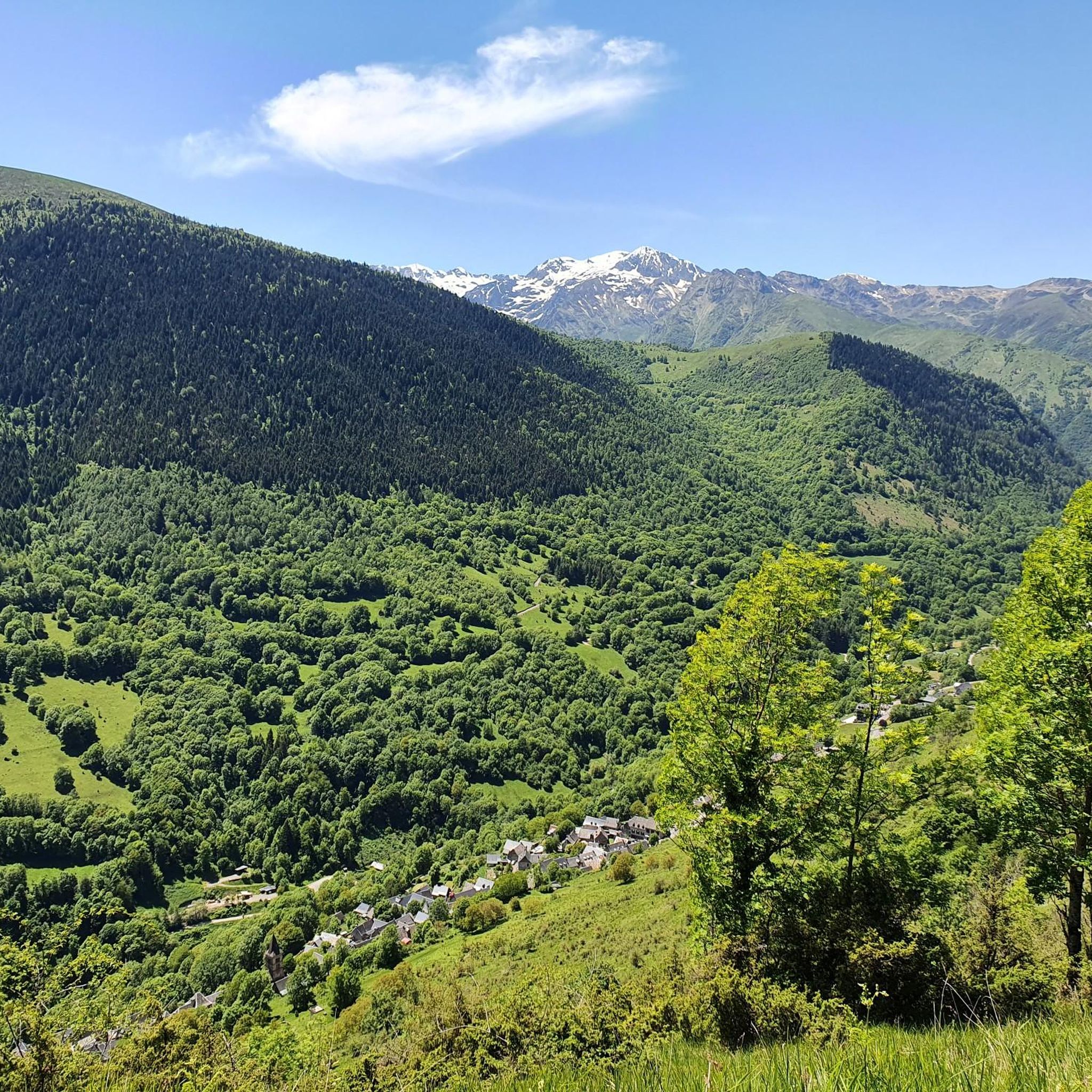
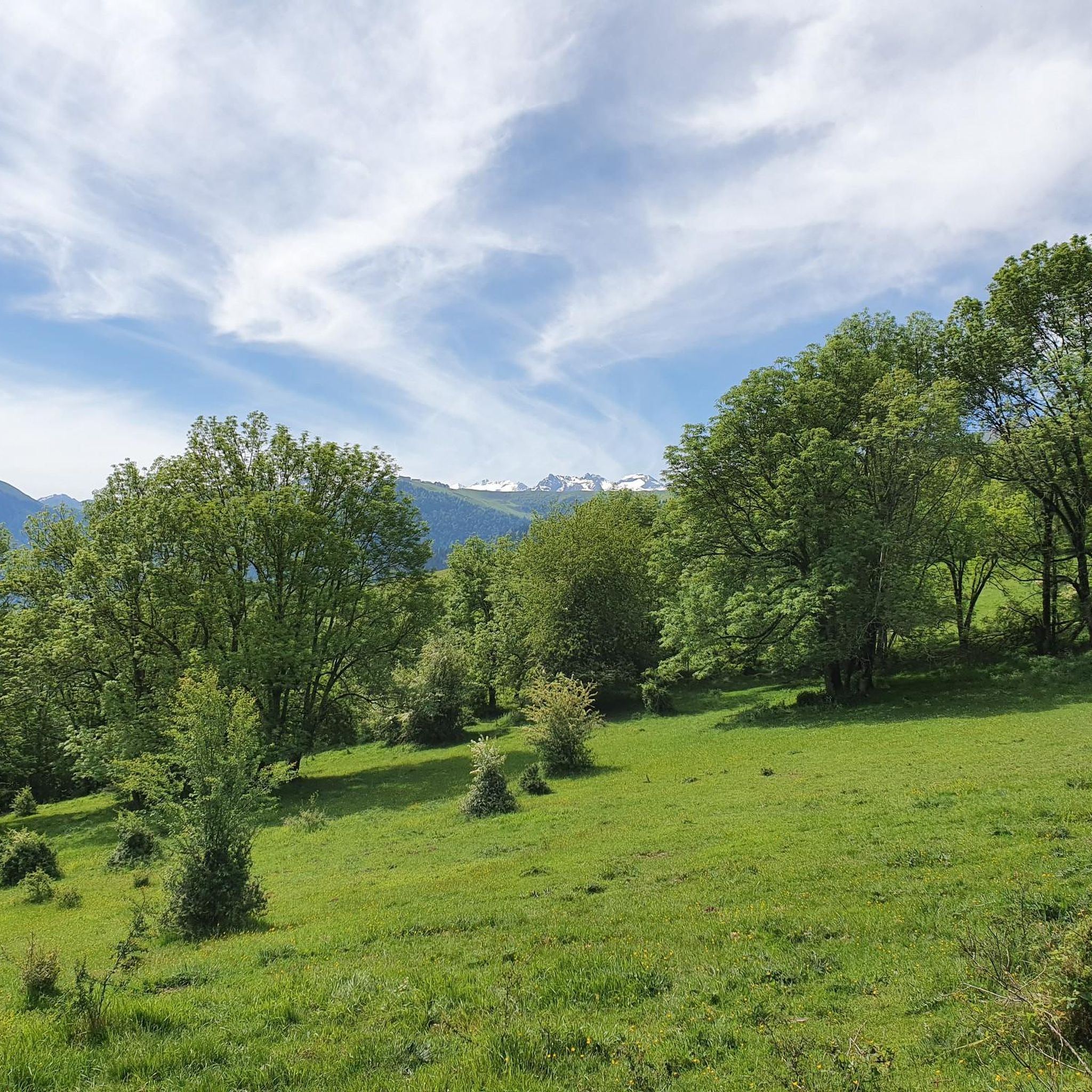
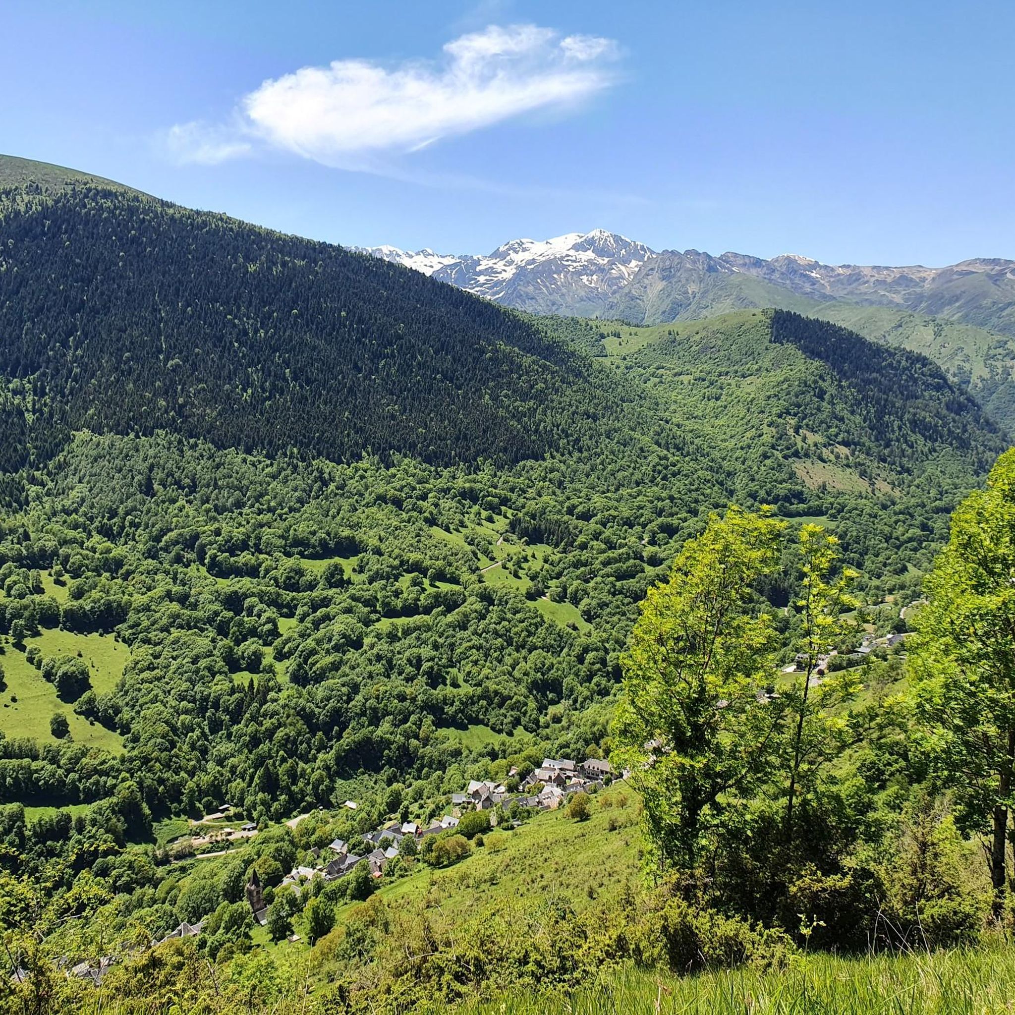
Jogging around Saccourvielle offers diverse experiences within the Pyrenees mountain range. The region features varied topography, with altitudes ranging from 833 meters to 1,793 meters, providing opportunities for challenging uphill runs. Extensive forests, including large beech trees, and picturesque valleys characterize the area, offering shaded paths ideal for running. This mountainous terrain and network of trails provide a range of options for runners.
Best jogging routes around Saccourvielle
- The most popular jogging route is The balconies of Sode - trail…
Last updated: May 23, 2026
5.0
(1)
26
runners
8.15km
01:10
350m
350m
Hard run. Very good fitness required. Sure-footedness, sturdy shoes and alpine experience required.
3.0
(1)
398
runners
39.1km
06:25
2,230m
2,230m
Hard run. Very good fitness required. Sure-footedness, sturdy shoes and alpine experience required.

Sign up for free
3.0
(1)
382
runners
45.2km
07:43
2,690m
2,690m
Hard run. Very good fitness required. Sure-footedness, sturdy shoes and alpine experience required.
4.7
(3)
281
runners
20.1km
03:07
1,270m
1,270m
Hard run. Very good fitness required. Sure-footedness, sturdy shoes and alpine experience required.
5.0
(1)
187
runners
11.1km
01:10
50m
50m
Moderate run. Good fitness required. Mostly paved surfaces. Suitable for all skill levels.
Get access to more routes and recommendations from other explorers.
Sign up for free
Already have an account?
Our route recommendations are based on thousands of hikes, rides, and runs completed by other people on komoot.
Start today with a free account
Your next adventure awaits.
Login or Signup


Tips from the Community

Very beautiful footbridge, not very long but very high and impressive
0
0


Very nice steep transition from F to E. The path is laid out in tight bends and hardly exposed (just steep). Coming from France, the gap looks insurmountable. In mid-June there may be some old snow fields that can be hard in the morning. Caution is advised; very light crampons, such as those available for trail running shoes, may be helpful.
0
0

A very pretty, very pleasant town, with all kinds of shops and restaurants, ideal for organizing a stage of several days to discover this part of the French Pyrenees.
0
0

Border crossing between the two states where there is a great landmark between two mountains that are part of the Serrat des Cabirous, the range of roe deer!
0
0

And it was already a stage destination on the tour
0
0

This pretty waterfall is located on the heights of Juzet-de-Luchon. Its long, so-called ponytail waterfall is worth taking the small path that leads to it.
0
0
Frequently Asked Questions
How many running routes are available around Saccourvielle?
Saccourvielle offers a wide selection of running routes, with over 120 options recorded on komoot. These routes cater to various fitness levels, from moderate paths to challenging mountain ascents, ensuring there's something for every runner.
What kind of terrain can I expect on jogging trails in Saccourvielle?
The jogging trails around Saccourvielle are characterized by diverse Pyrenean terrain. You'll find mountainous sections with varying elevations, extensive forests like the Forêt de Balencous offering shaded paths, and picturesque river valleys. This mix provides varied and engaging experiences, whether you're looking for a gentle run or a demanding trail challenge.
Are there any easy or moderate running routes in Saccourvielle?
Yes, while many routes are challenging, Saccourvielle does offer easier options. There are 4 easy and 33 moderate running routes available. A good moderate option is the Bagnères-de-Luchon – Bagnères-de-Luchon loop from Bagnères-de-Luchon, which is just over 6 km long and features minimal elevation gain.
What do other runners say about the jogging routes in Saccourvielle?
The jogging routes in Saccourvielle are highly regarded by the komoot community, holding an average rating of 4.3 stars from over 50 reviews. Runners often praise the stunning natural beauty, the diverse terrain, and the immersive experience of running in the heart of the Pyrenees.
Are there any scenic viewpoints or natural attractions along the running trails?
Absolutely! The region is rich in natural beauty. You can discover impressive natural features like the Cascade d'Enfer or the Sidonie Waterfall. Many routes also offer breathtaking panoramas from elevated viewpoints, often referred to as the 'Balconies of Luchonnais', providing expansive views of the surrounding mountains and valleys.
Can I find circular jogging routes in the Saccourvielle area?
Yes, many of the running routes around Saccourvielle are circular, allowing you to start and finish in the same location. An example of a challenging circular trail is The balconies of Sode - trail loop starting from Bagnères-de-Luchon, which offers panoramic views.
Are there any long-distance running challenges in Saccourvielle?
For those seeking a significant challenge, Saccourvielle and its surroundings offer several long-distance routes. The Péquerin Footbridge – Vénasque Lakes loop from Luchon is a demanding 45 km trail, while the Bagnères-de-Luchon – Péquerin Footbridge loop from Luchon covers nearly 40 km, both featuring substantial elevation changes through the Pyrenean landscape.
What are the best times of year for jogging in Saccourvielle?
Saccourvielle's mountainous environment means conditions can vary. Spring and autumn generally offer pleasant temperatures and vibrant scenery, ideal for running. During warmer summer months, the extensive forests provide welcome shade. Winter running is possible, but higher elevation trails may require specific gear due to snow and ice.
Are there any mountain peaks accessible via running trails?
The region is surrounded by impressive peaks. While many are hiking destinations, some running routes offer views or access to lower summits. You can find highlights like the Superbagnères Summit (1804 m) or Mount Né in the broader area, providing stunning vistas for those willing to tackle the climbs.
Are there any running routes that pass by lakes?
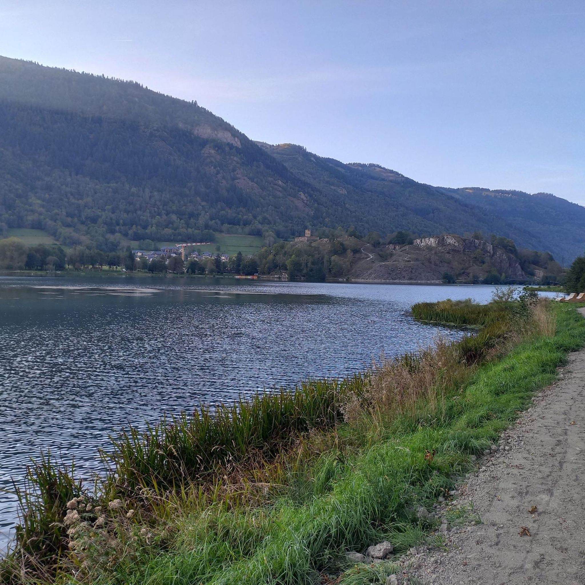
Yes, the Saccourvielle area is close to several scenic lakes, such as Lac de Génos and Lac de Loudenvielle. While specific routes directly alongside them aren't detailed here, the broader Pyrenean region features many trails with magnificent lake views, including the Lake Bareilles highlight.
Can I find routes that offer a mix of forest and open views?
Many of Saccourvielle's routes provide this exact combination. You'll often find yourself running through lush forests, such as the Forêt de Balencous, which then open up to reveal expansive mountain vistas and valley views, offering a dynamic and varied running experience.
Most popular routes around Saccourvielle
Most popular attractions around Saccourvielle

Get inspired with the komoot mobile app


Explore more
Browse the best Running Trails & Routes in other regions.
