Saint-Michel-De-Chaillol
Saint-Michel-De-Chaillol
The best mountain hikes around Saint-Michel-De-Chaillol
5.0
(5)
26
hikers
3
hikes
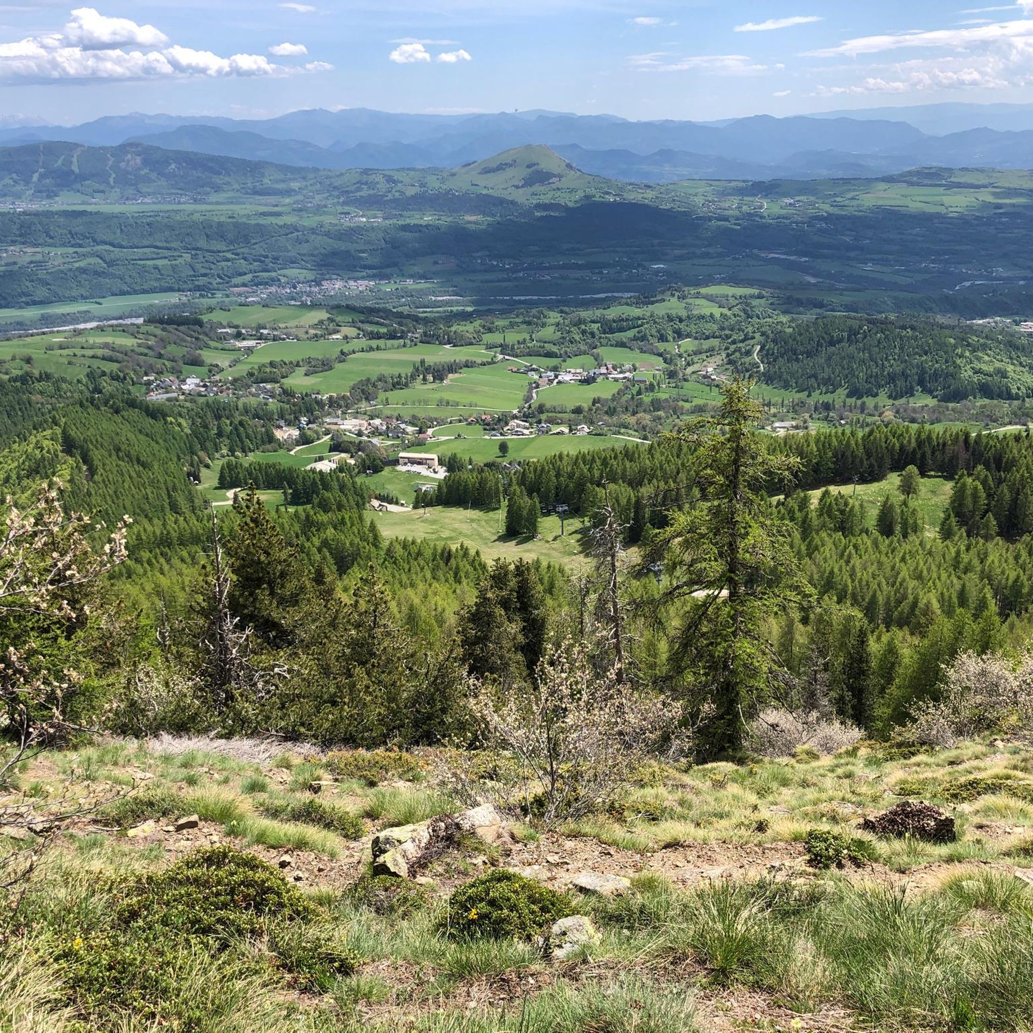
Mountaineering routes around Saint-Michel-De-Chaillol are set within a dramatic alpine landscape, serving as a gateway to the Ecrins National Park. The region is characterized by jagged 4000-meter peaks, accessible glaciers, and deep alpine valleys like Valgaudemar. This terrain offers a blend of challenging ascents and high-altitude glacier traverses, providing a true taste of classic alpinism.
Best mountaineering routes around Saint-Michel-De-Chaillol
- The most popular mountaineering route is Vieux Chaillol loop from Saint-Michel-de-Chaillol, a difficult 10.8 miles (17.4 km) trail that…
Last updated: July 7, 2026
5.0
(2)
16
hikers
17.4km
08:47
1,510m
1,510m
Hard mountaineering route. Very good fitness required. Sure-footedness, sturdy shoes and alpine experience required.
5.0
(3)
8
hikers
8.36km
03:14
390m
390m
Moderate mountaineering route. Good fitness required. Mostly accessible paths. Sure-footedness required.

Sign up for free
2
hikers
9.85km
03:22
540m
540m
Moderate mountaineering route. Good fitness required. Easily-accessible paths. Suitable for all skill levels.
Our route recommendations are based on thousands of hikes, rides, and runs completed by other people on komoot.
Start today with a free account
Your next adventure awaits.
Login or Signup
Popular around Saint-Michel-De-Chaillol

Seven MTB routes in the Southern Alps – nature, passes and valleys

High mountain escapades — 15 peaks over 3,000m in the Alps
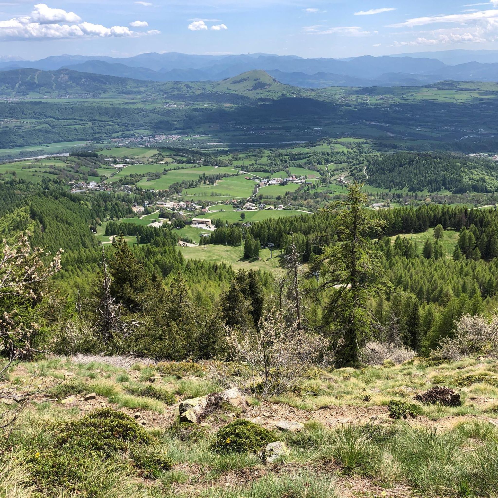
Hiking around Saint-Michel-De-Chaillol
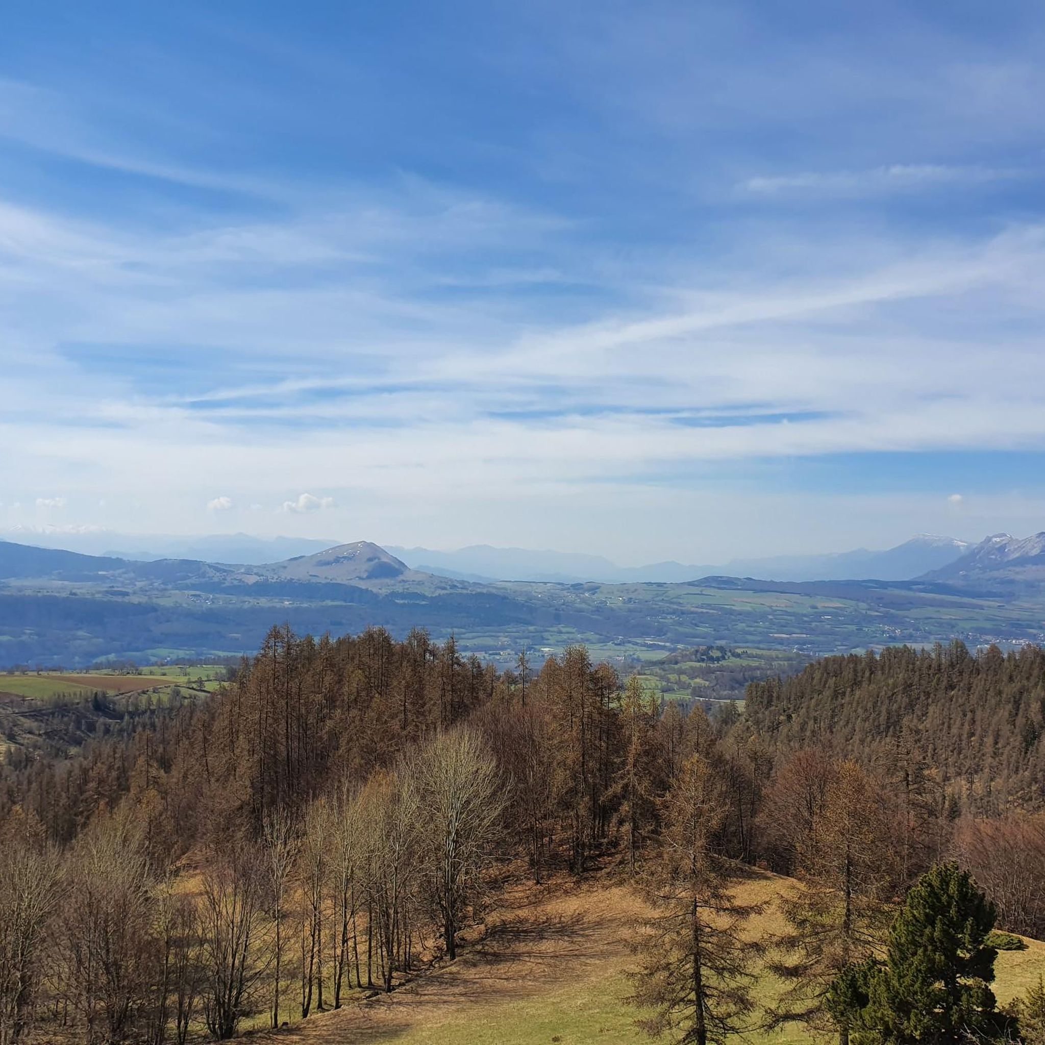
Road Cycling Routes around Saint-Michel-De-Chaillol
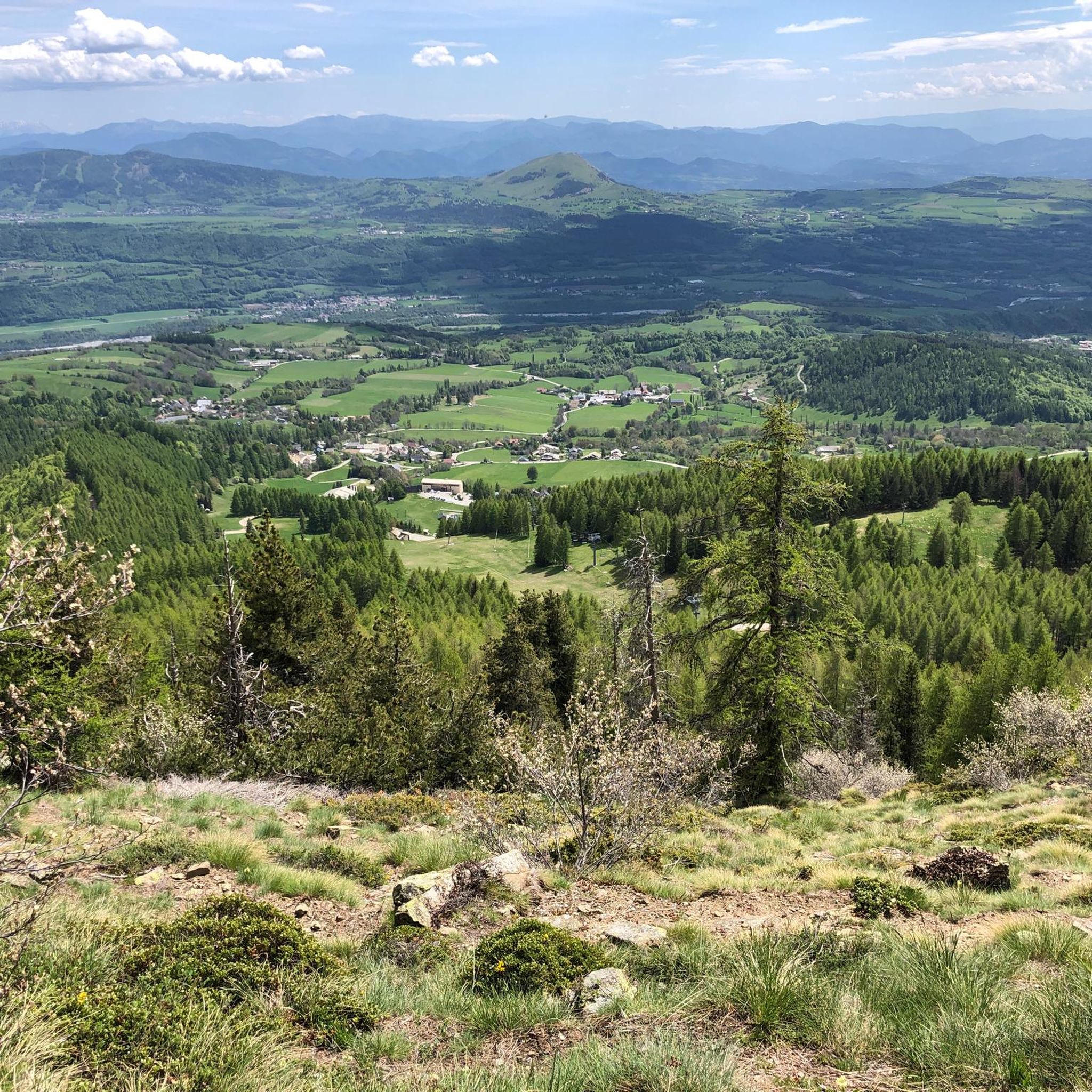
MTB Trails around Saint-Michel-De-Chaillol
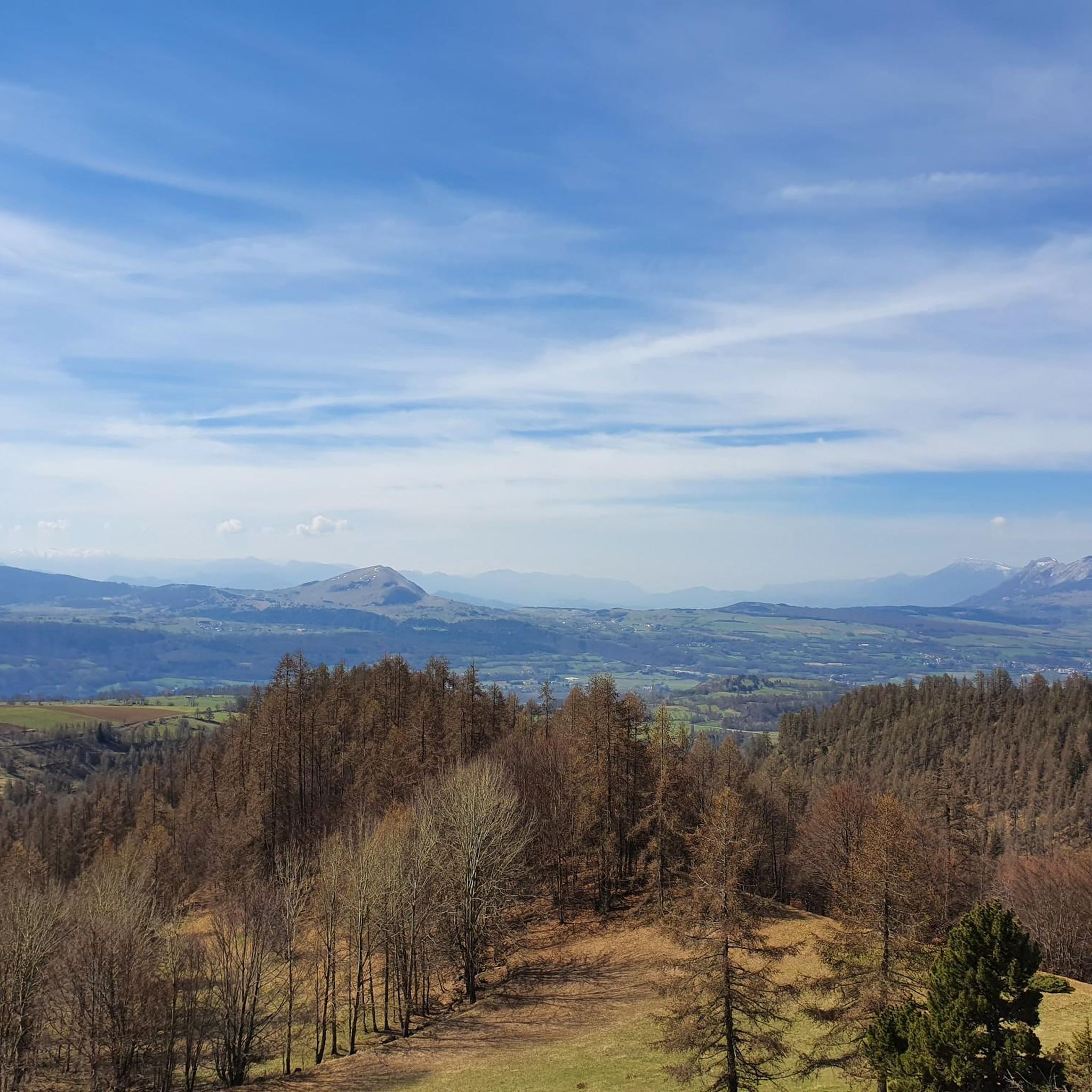
Running Trails around Saint-Michel-De-Chaillol
Cycling around Saint-Michel-De-Chaillol
Gravel biking around Saint-Michel-De-Chaillol
Other adventures around Saint-Michel-De-Chaillol


Tips from the Community

A nice place for a well-deserved break...
0
0

Great spot, really friendly, very helpful staff. BUT - call ahead to make a reservation if you want to eat their food (though I saw people using tables, with their own food). AND - take cash if you've planned to eat there (they don't take cards).
0
0

Culminating at 2,354 meters, the Col de la Pisse offers beautiful panoramas of the Écrins massif.
0
0

Don't hesitate to stop at this refuge for lunch (reservations recommended). The vegetarian menu or the charcuterie platter are excellent and the staff is super friendly.
0
0

Valley walk ascending to the mountain hut, there you can use something and return via the other side of the mountain stream. Slightly steep descent at the end
1
0

Le Vieux Chaillol culminates at 3,163 meters above sea level. The summit offers a panoramic view of the high peaks of the Écrins.
1
0
At 2,695 meters above sea level, the Col de Riou Beyrou offers an incredible panorama of the surrounding peaks, in one of the wildest surroundings. The pass is dominated by the "Cabane des Parisiens", a small stone shelter.
0
0
The Cote Longue pass is in an almost lunar setting! Here you are at 2,679 meters above sea level, in the heart of an almost entirely mineral site.
0
0
Frequently Asked Questions
How many mountaineering routes are available around Saint-Michel-De-Chaillol?
There are 3 dedicated mountaineering routes around Saint-Michel-De-Chaillol listed in this guide. These routes offer a range of experiences, from moderate ascents to more challenging high-altitude expeditions within the Ecrins National Park.
What is the best time of year for mountaineering in Saint-Michel-De-Chaillol?
The prime season for mountaineering in Saint-Michel-De-Chaillol and the Ecrins National Park is typically from late spring through early autumn (June to September), when snowmelt allows access to higher elevations and glaciers are more stable. Winter offers opportunities for ice climbing and backcountry skiing, but requires specialized skills and equipment.
Are there mountaineering routes suitable for beginners in Saint-Michel-De-Chaillol?
While many routes in the region are challenging, there are options for those with some experience looking to progress. For instance, the Refuge du Tourond loop from Champoléon is a moderate 5.2-mile (8.4 km) path that winds through the scenic Valgaudemar valley, offering a taste of alpine scenery without extreme technical difficulty.
What kind of terrain can I expect on these mountaineering routes?
Mountaineering routes around Saint-Michel-De-Chaillol are characterized by dramatic alpine landscapes, including jagged peaks, accessible glaciers, and deep alpine valleys. You can expect a blend of challenging ascents, high-altitude glacier traverses, and sections that may involve scrambling or navigating exposed areas, providing a true taste of classic alpinism.
What natural features or landmarks can I see along the mountaineering routes?
The region is rich in natural beauty. You might encounter stunning mountain passes like Col du Viallet or Col de Riou Beyrou, offering incredible panoramas. The majestic Vieux Chaillol peak is a prominent landmark, and you could also discover beautiful waterfalls such as Cascade de la Pisse.
Are there any circular mountaineering routes in the area?
Yes, several routes offer a circular experience. A notable example is the Vieux Chaillol loop from Saint-Michel-de-Chaillol, a difficult 10.8-mile (17.4 km) trail that provides panoramic views of the high Ecrins. Another option is the Pointe de Fleurendon loop from Canyon de Rouanette, which covers 6.1 miles (9.8 km) through varied alpine terrain.
What is the typical duration for mountaineering trails near Saint-Michel-De-Chaillol?
The duration varies significantly based on the route's difficulty and length. For example, the challenging Vieux Chaillol loop typically takes around 8 hours and 46 minutes to complete. Shorter, moderate routes like the Refuge du Tourond loop can be completed in about 3 hours and 14 minutes.
What kind of wildlife might I encounter while mountaineering in the Ecrins National Park?
The Ecrins National Park is a haven for biodiversity. While mountaineering, you have a good chance of spotting animals such as marmots, chamois, and ibex. Golden eagles soar overhead, and if you're very lucky, you might even catch a glimpse of wolves. The park also hosts one-third of France's plant species.
What do other mountaineers enjoy most about the routes in Saint-Michel-De-Chaillol?
The mountaineering routes around Saint-Michel-De-Chaillol are highly rated by the komoot community, with an average score of 5.0 stars from 5 reviews. Mountaineers often praise the dramatic alpine scenery, the challenging yet rewarding ascents, and the less crowded environment compared to other popular alpine destinations, offering a genuine alpine experience.
Are there any specific permits required for mountaineering in the Ecrins National Park?
The Ecrins National Park is a protected area. While general access for hiking and mountaineering is usually free, certain regulations apply, especially concerning bivouacking, campfires, and waste disposal. It's always advisable to check the official Ecrins National Park website for the most current regulations and any specific permits that might be required for certain high-altitude or sensitive areas, particularly for multi-day expeditions or glacier travel.
What are some challenging mountaineering routes for experienced climbers?
For experienced climbers seeking a significant challenge, the region offers access to impressive summits. The Vieux Chaillol loop from Saint-Michel-de-Chaillol, with over 1500 meters of elevation gain, is a difficult route providing panoramic views from the 3,163-meter peak. The broader Ecrins Massif, accessible from the region, includes peaks like Barre des Écrins (4,102 m) and La Meije (3,983 m), which involve advanced glacier travel, ridges, and rock climbing.
Most popular routes around Saint-Michel-De-Chaillol
Most popular attractions around Saint-Michel-De-Chaillol

Get inspired with the komoot mobile app


Explore more
Browse the best Mountain Hikes & Routes in other regions.
