Saint-Michel-De-Chaillol
Saint-Michel-De-Chaillol
The best running trails around Saint-Michel-De-Chaillol
4.2
(13)
1,497
runners
14
runs
Jogging around Saint-Michel-De-Chaillol offers diverse terrain within the Southern French Alps, situated at the entrance to Écrins National Park. The region features varied elevations, from 1,230 meters to 2,742 meters, encompassing a bocage landscape of fields and orchards at lower altitudes. Higher up, the environment transitions into extensive larch forests and alpine pastures. This area provides a network of trails suitable for various running experiences.
Best jogging routes around Saint-Michel-De-Chaillol
- The most popular jogging route is Col de la pisse…
Last updated: July 1, 2026
57
runners
16.2km
03:01
1,100m
1,100m
Hard run. Very good fitness required. Sure-footedness, sturdy shoes and alpine experience required.
38
runners
14.4km
02:06
690m
690m
Hard run. Very good fitness required. Mostly paved surfaces. Suitable for all skill levels.

Sign up for free
31
runners
13.9km
02:05
800m
800m
Hard run. Very good fitness required. Mostly paved surfaces. Suitable for all skill levels.
31
runners
11.2km
01:26
260m
260m
Moderate run. Good fitness required. Mostly paved surfaces. Suitable for all skill levels.
25
runners
7.70km
01:01
280m
280m
Moderate run. Good fitness required. Mostly paved surfaces. Suitable for all skill levels.
Get access to more routes and recommendations from other explorers.
Sign up for free
Already have an account?
Our route recommendations are based on thousands of hikes, rides, and runs completed by other people on komoot.
Start today with a free account
Your next adventure awaits.
Login or Signup
Popular around Saint-Michel-De-Chaillol

Seven MTB routes in the Southern Alps – nature, passes and valleys

High mountain escapades — 15 peaks over 3,000m in the Alps
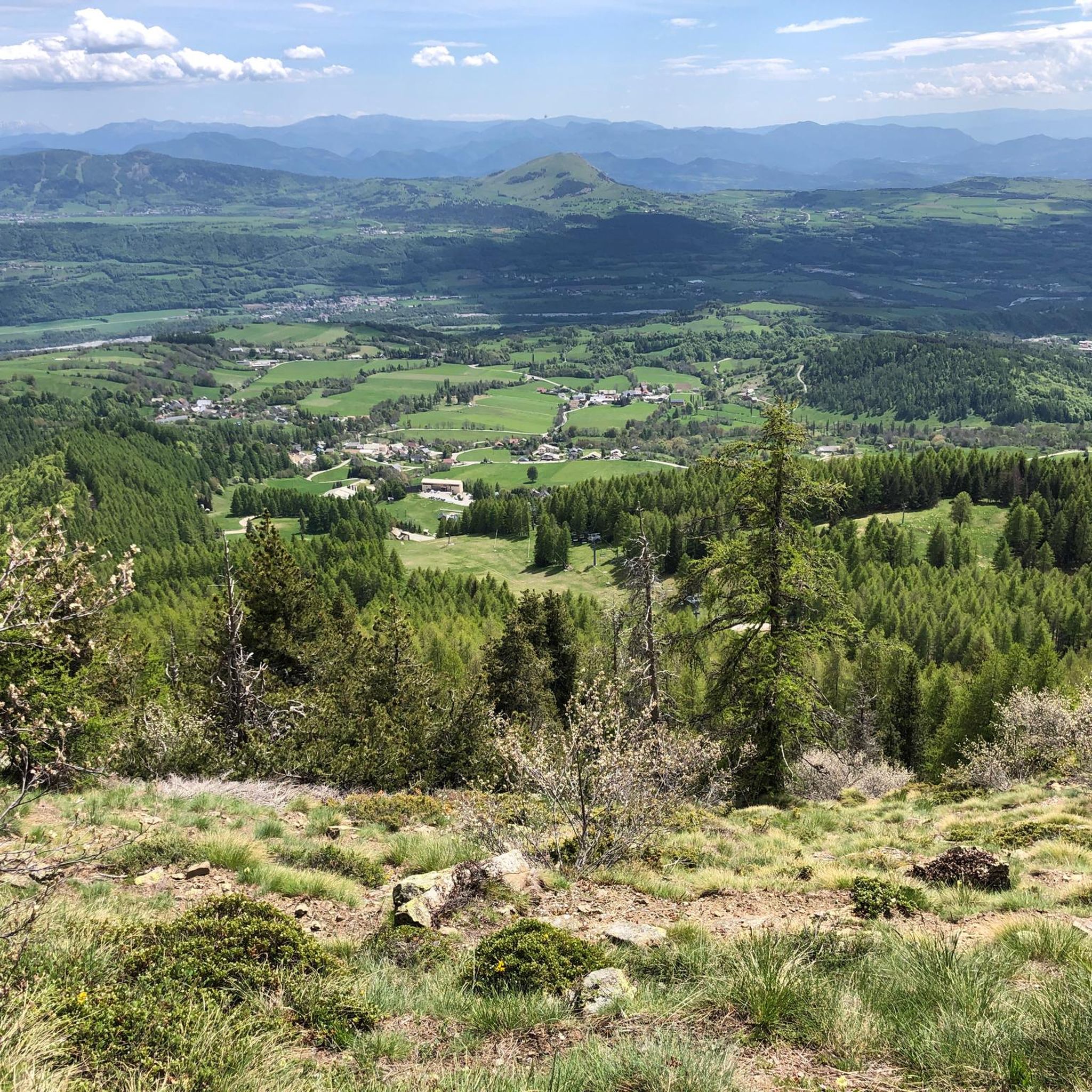
Hiking around Saint-Michel-De-Chaillol
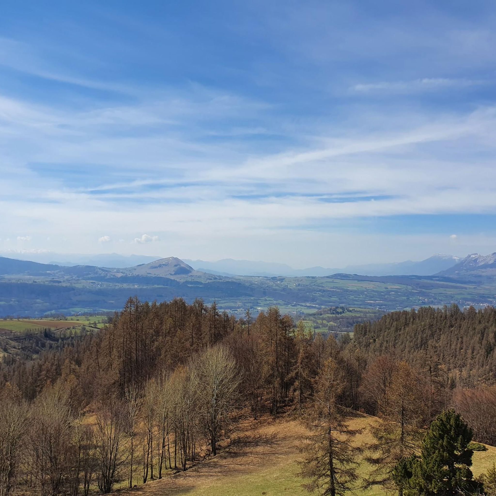
Road Cycling Routes around Saint-Michel-De-Chaillol
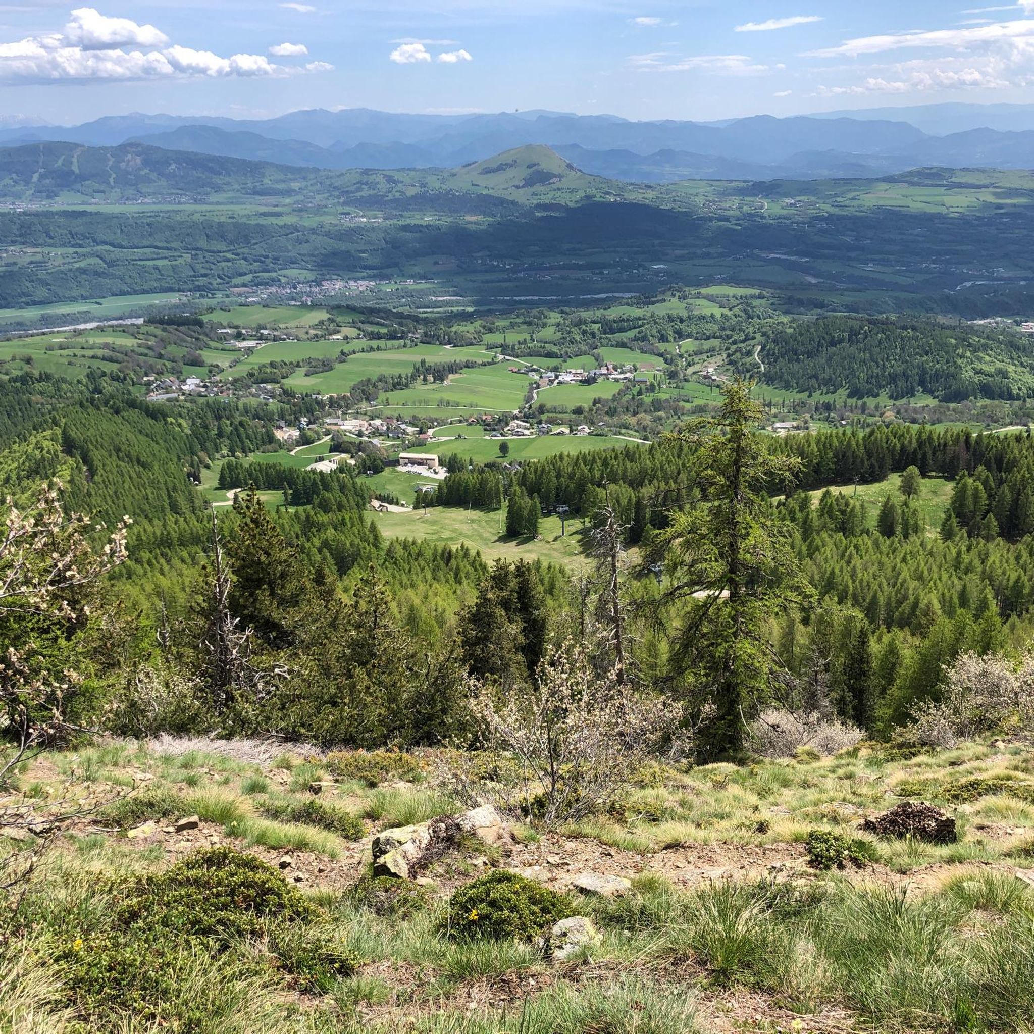
MTB Trails around Saint-Michel-De-Chaillol
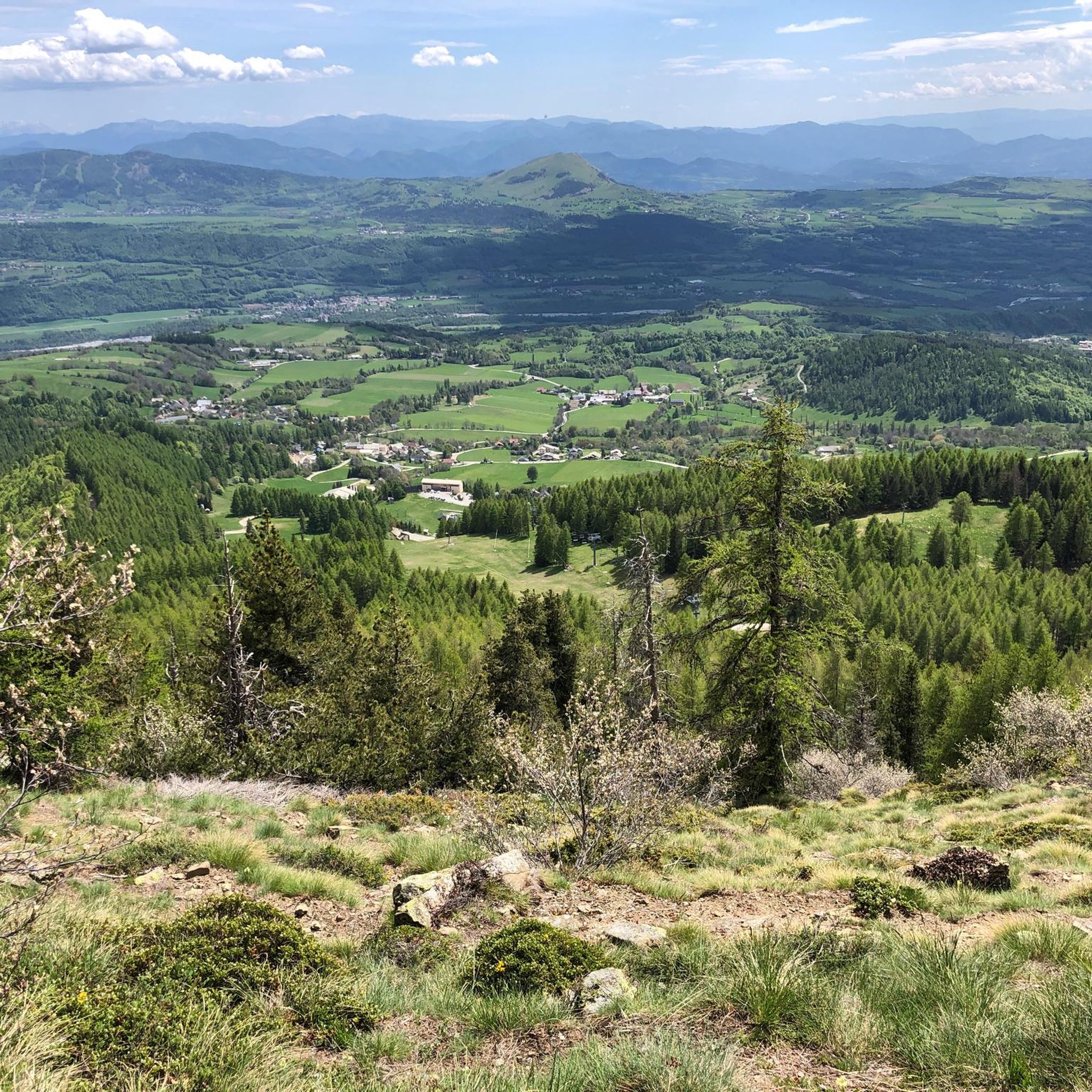
Cycling around Saint-Michel-De-Chaillol
Gravel biking around Saint-Michel-De-Chaillol
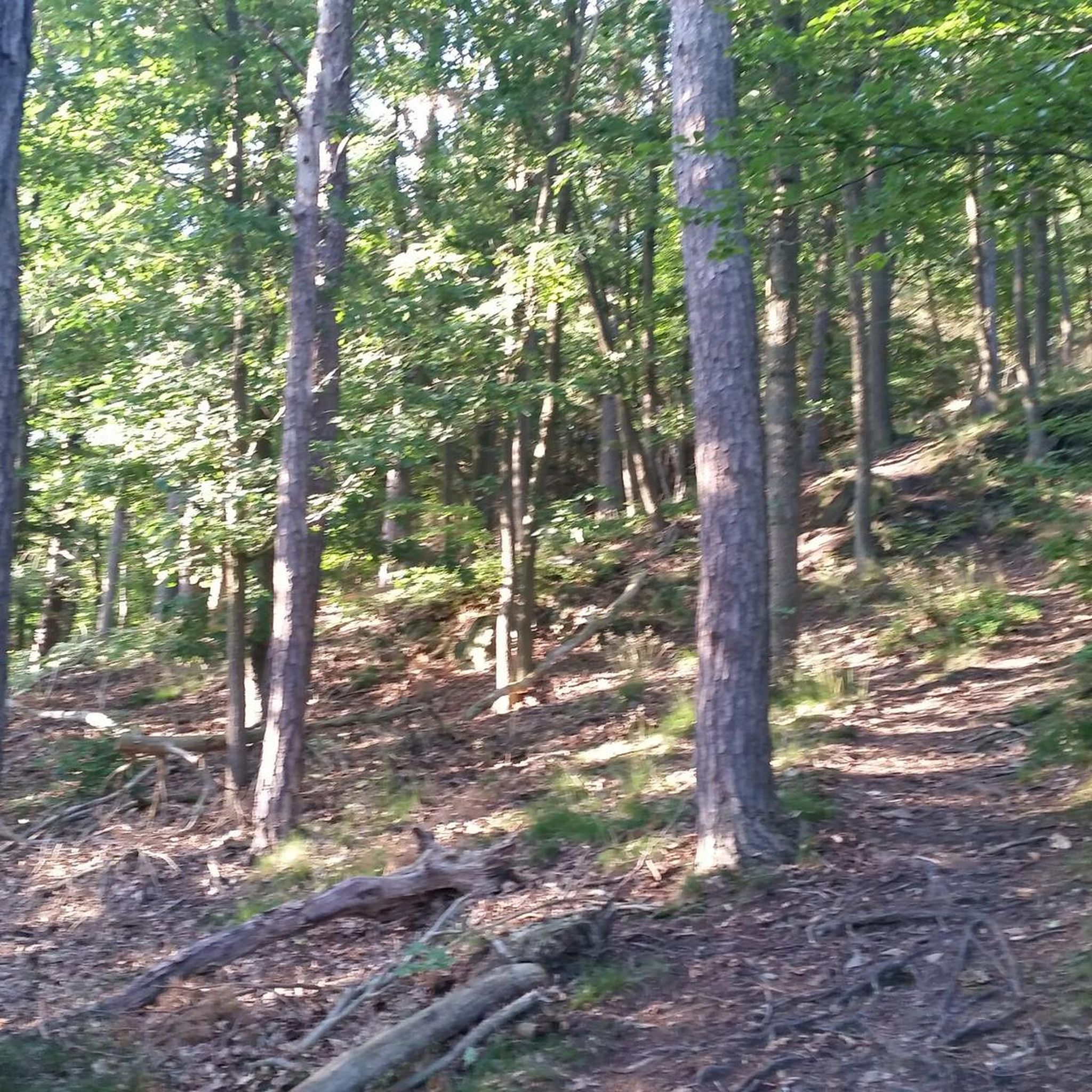
Mountain Hikes around Saint-Michel-De-Chaillol
Other adventures around Saint-Michel-De-Chaillol


Tips from the Community

Climb with double-digit gradients in certain points.
19
0

The Chaillol village resort is located at an altitude of 1600 meters in the Champsaur valley. Its location allows it to offer a varied and sunny ski area, with activities for all levels and a range of comfortable accommodation.
4
0
Located under the Pointe du Lingustier at an altitude of 2,240 meters, the Col du Viallet offers spectacular views of its two sides. It opens up a wide panorama of the Queyrel peak.
0
0
Culminating at 2,354 meters, the Col de la Pisse offers beautiful panoramas of the Écrins massif.
0
0

A superb single track which alternates between parts in the undergrowth and some open parts which allow you to appreciate the view. A must !
0
0

Climb in the direction of Chabottes with +10% on the shortcut at the end of Saint Michel de Chaillol or "chief town" (after the town hall, sign "WC" above garbage cans), similar to the Col de Noyer
1
0

Super single 90% rollable, some passages require pushing the bike!
0
1

The local single, only happiness 🤙 It's all in the name 😉
0
0
Frequently Asked Questions
How many running routes are available in Saint-Michel-de-Chaillol?
Saint-Michel-de-Chaillol offers a selection of 15 running routes, catering to various preferences. These include 6 moderate routes and 9 more challenging, difficult trails, providing options for different fitness levels.
What kind of terrain can I expect on the jogging trails around Saint-Michel-de-Chaillol?
The running trails in Saint-Michel-de-Chaillol offer a diverse range of terrain. You'll find routes traversing the gentle bocage landscape of fields and orchards at lower altitudes, transitioning to extensive larch forests, and ascending into beautiful alpine pastures. The region is situated at the gates of Écrins National Park, providing stunning mountain backdrops and varied elevations.
Are there any easy or moderate running routes for beginners or those seeking a less strenuous run?
Yes, there are 6 moderate running routes available. For example, the Lac de Barbeyroux loop from Chaillol 1600 is a moderate 11.1 km trail with a manageable elevation gain, offering a pleasant experience without extreme difficulty. Another moderate option is the Monotrace in undergrowth loop from Saint-Michel-de-Chaillol, which is 7.6 km long.
What are some scenic highlights or points of interest I might encounter on the running trails?
The region is rich in natural beauty. You might encounter stunning mountain views of the Pic du Vieux Chaillol, the picturesque Champsaur Valley, and the expansive larch forests. Some routes offer glimpses of the beautiful alpine pastures. Specific highlights include the vibrant Lacs de Pétarel, known for their stunning colors, or the charming village of Saint-Bonnet-en-Champsaur.
What do other runners enjoy most about jogging in Saint-Michel-de-Chaillol?
The running routes in Saint-Michel-de-Chaillol are highly rated by the komoot community, with an average score of 4.2 stars from over 10 reviews. Runners often praise the varied terrain, from gentle paths through orchards to challenging ascents in the mountains, and the breathtaking panoramas of the Écrins massif.
Is Saint-Michel-de-Chaillol suitable for year-round running?
While excellent for summer jogging, the region also transforms in winter. Some routes may be suitable for snowshoeing or ski touring during colder months, allowing for continued outdoor activity in a different form. However, for traditional running, the warmer months offer the most accessible and diverse trail options.
Are there any circular running routes available?
Yes, many of the running routes in Saint-Michel-de-Chaillol are circular, allowing you to start and finish in the same location. For example, the challenging Col de la pisse – Col de Côte-Longue loop from Saint-Michel-de-Chaillol is a 16.2 km loop, and the Col du Vialet 2250m – Col du Viallet loop from Saint-Michel-de-Chaillol is a difficult 14.4 km circular path.
What is the best time of year to go running in Saint-Michel-de-Chaillol?
The region benefits from a 'south-facing' exposure, ensuring particularly pleasant and sunny conditions. While trails are accessible in warmer months, late spring to early autumn generally offers the most ideal weather for running, with comfortable temperatures and clear paths before winter snows arrive.
Are there any regulations or permits required for running in the Écrins National Park area?
Saint-Michel-de-Chaillol is situated at the gates of the vast Écrins National Park. While specific permits for general running on marked trails are typically not required, it's always advisable to be aware of and respect national park regulations, especially concerning wildlife, waste disposal, and staying on marked paths to protect the natural environment.
Where can I find parking near the running trails in Saint-Michel-de-Chaillol?
As a popular resort village and starting point for numerous hikes, Saint-Michel-de-Chaillol generally offers parking facilities. Many trailheads, especially those starting from the village or Chaillol 1600, will have designated parking areas. It's recommended to check local signage upon arrival.
Are there any running routes that offer significant elevation gain for a challenging workout?
Absolutely. Saint-Michel-de-Chaillol is known for its mountainous terrain, offering routes with considerable elevation. The Col du Vialet 2250m – Chaillol 1600 loop from Saint-Michel-de-Chaillol, for instance, is an 8.6-mile trail with nearly 800 meters of elevation gain, providing a rigorous running experience.
Most popular routes around Saint-Michel-De-Chaillol
Most popular attractions around Saint-Michel-De-Chaillol

Get inspired with the komoot mobile app


Explore more
Browse the best Running Trails & Routes in other regions.
