Saint-Clément-Sur-Durance
Saint-Clément-Sur-Durance
The best mountain hikes around Saint-Clément-Sur-Durance
4.5
(2)
30
hikers
5
hikes
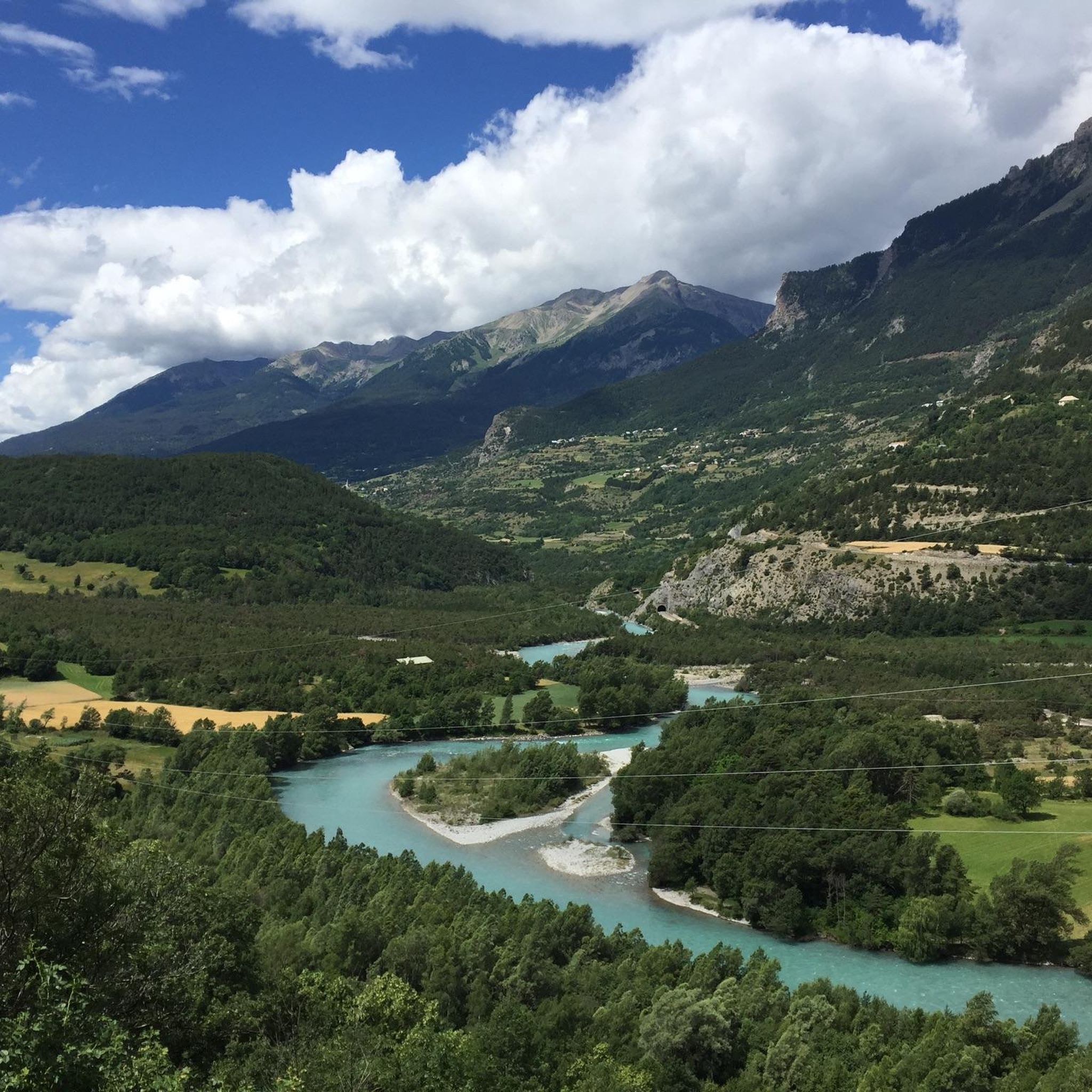
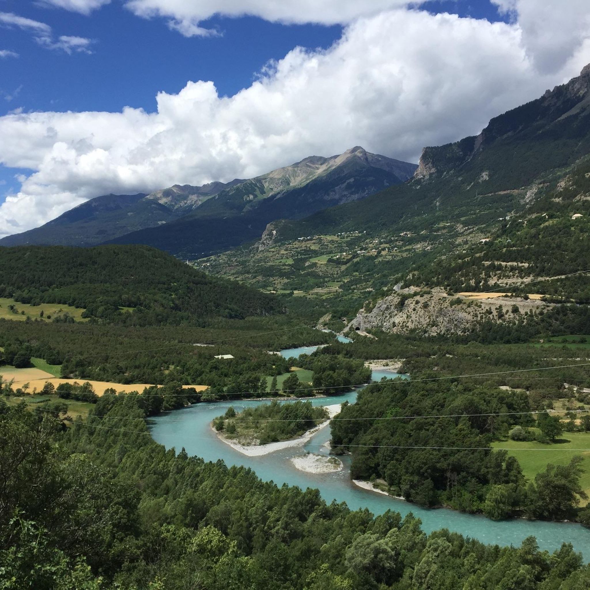
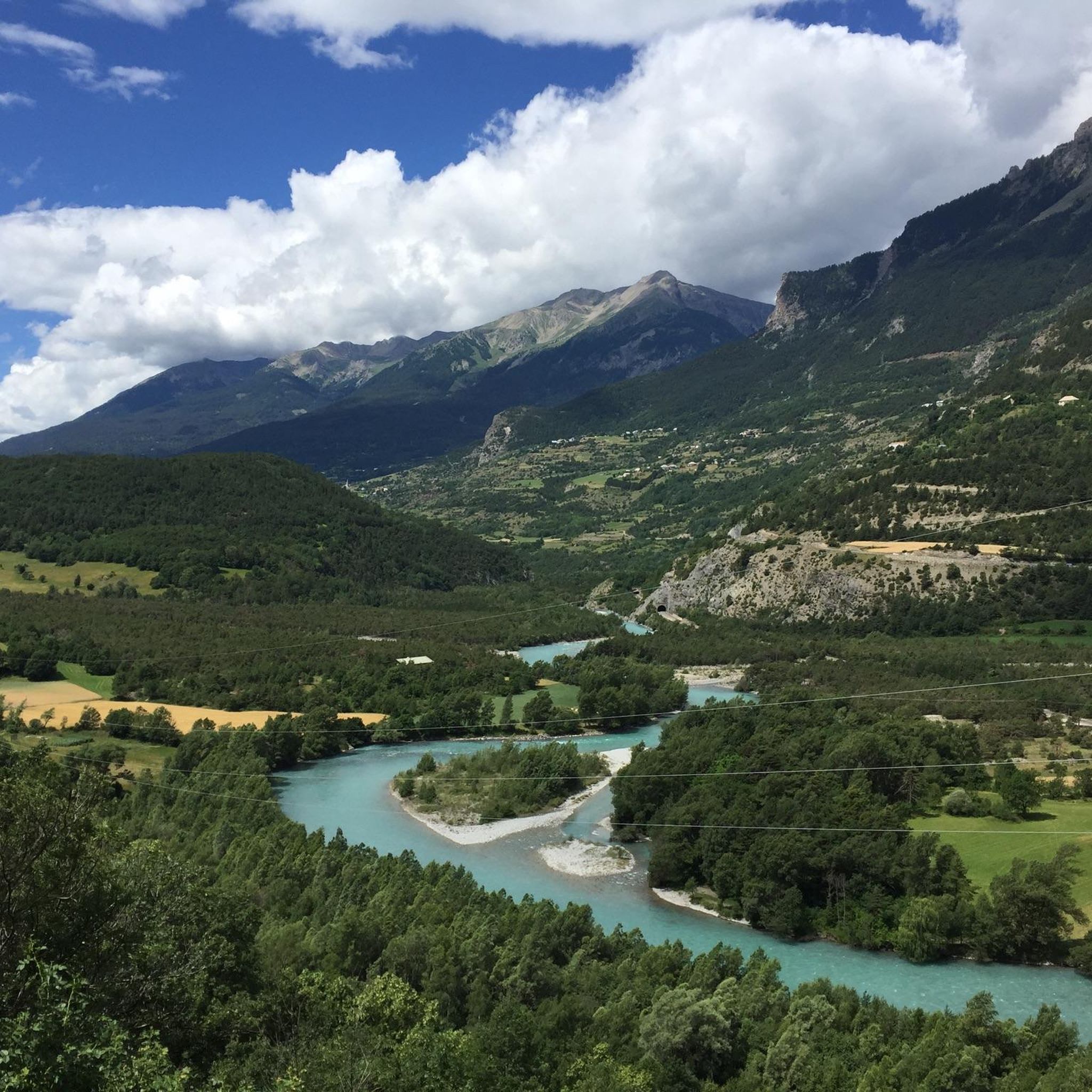
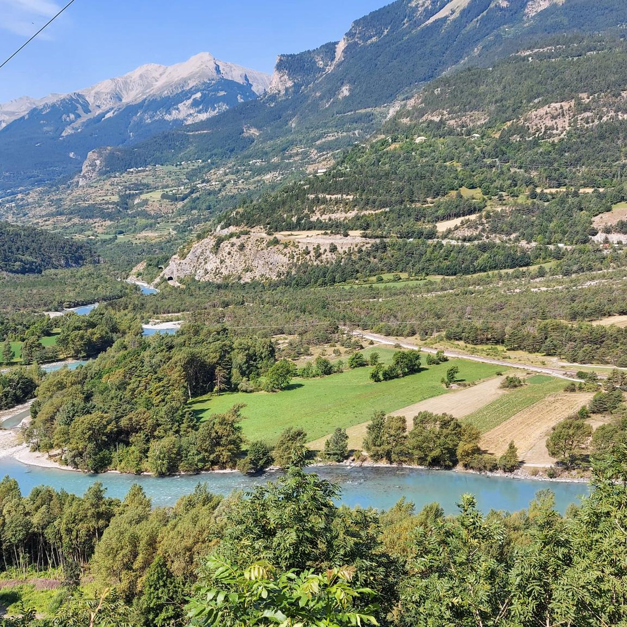
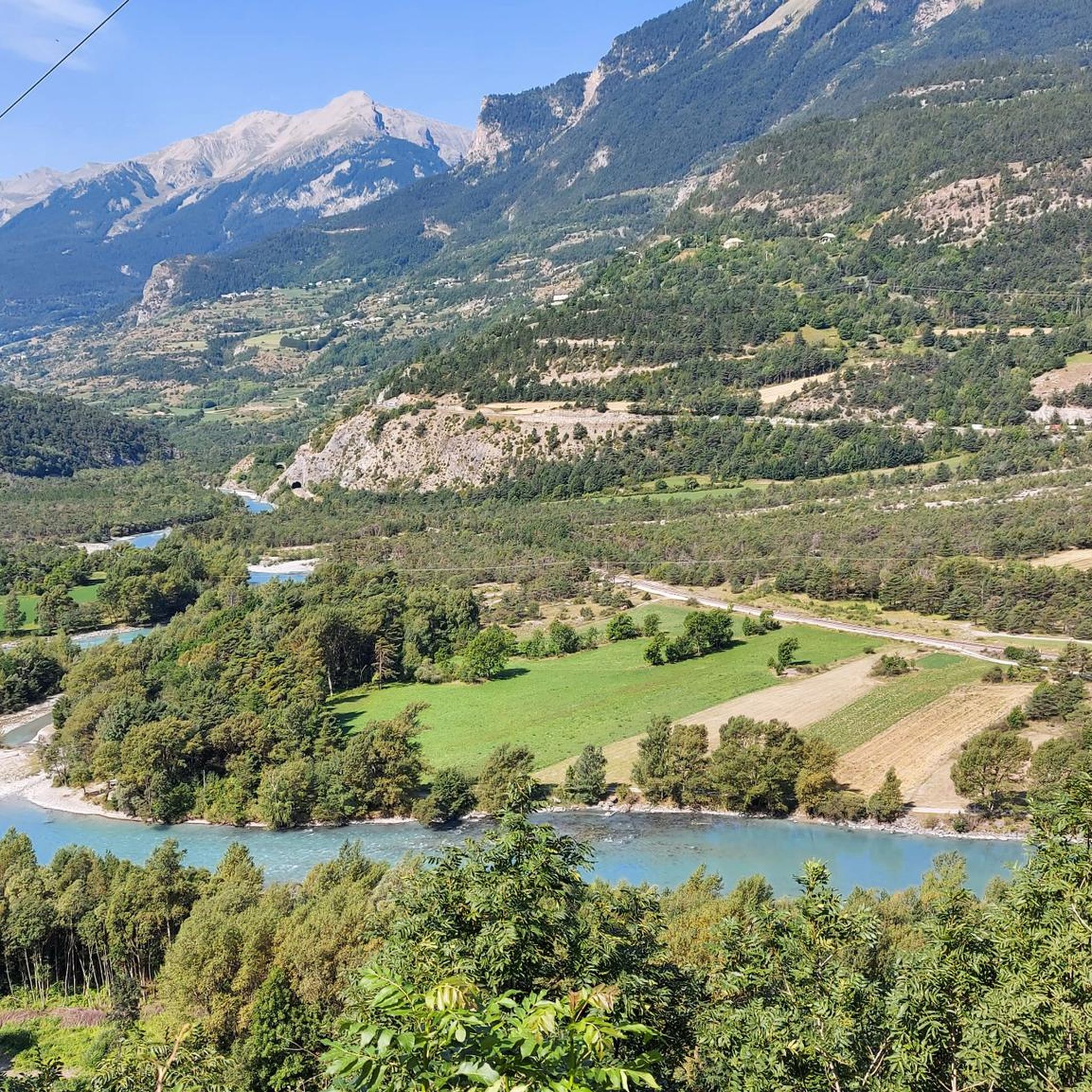
Mountaineering routes around Saint-Clément-Sur-Durance traverse a landscape characterized by significant elevation changes, alpine valleys, and forested slopes. The region features a mix of challenging ascents and high-altitude paths, offering panoramic views of the surrounding peaks. The Durance river valley provides a natural corridor, with routes often leading into the higher mountains.
Best mountaineering routes around Saint-Clément-Sur-Durance
- The most popular mountaineering route is Palluel Lake loop from Parking riverains, an 8.5 miles (13.6 km) trail that takes 6 hours 20…
Last updated: June 24, 2026
9
hikers
3.84km
02:19
350m
350m
Hard mountaineering route. Good fitness required. Sure-footedness, sturdy shoes and alpine experience required.
4.5
(2)
8
hikers
9.31km
04:16
760m
770m
Moderate mountaineering route. Good fitness required. Mostly accessible paths. Sure-footedness required.

Sign up for free
6
hikers
2.37km
01:14
200m
200m
Hard mountaineering route. Great for any fitness level. Sure-footedness, sturdy shoes and alpine experience required.
4
hikers
11.2km
05:14
730m
730m
Hard mountaineering route. Very good fitness required. Mostly accessible paths. Sure-footedness required.
3
hikers
Moderate mountaineering route. Good fitness required. Easily-accessible paths. Suitable for all skill levels.
Our route recommendations are based on thousands of hikes, rides, and runs completed by other people on komoot.
Start today with a free account
Your next adventure awaits.
Login or Signup
Popular around Saint-Clément-Sur-Durance
Tips from the Community

A summit with wonderful views: from the Barre des Ecrins to the Pic de Rochebrune. Reached from Ponteil, towards Cabane de l'Alp, and a portage from 2,700 m along the NE ridge. Technical descent (S3/S4) from the SW ridge.
0
0

A via ferrata course rated blue, traversing a cliff above a spectacular valley of forested peaks.
1
0

If you go there following "Waze", from Embrun, once you have taken the road which goes up (route de Caléyère), stay on the road and do not follow the Waze directions which send you onto unpaved private roads (which do not do not shorten the journey)
1
0

On the way to Dormillouse you pass several waterfalls. Search the smallest paths to waterfalls from where you can see the clatter on the stones even better.
0
0
Dormillouse a mountain village located in the Ecrins Mountains. Very remote and only accessible on foot. The village has only a handful of inhabitants and is surrounded by beautiful nature. Gite has been built in the old school and, in addition to good food, also sleeping.
0
0

The Tête de Vautisse peaks at 3,156 meters above sea level. In good weather, you can enjoy a panorama of Mont Blanc, Mont Viso, and Mont Ventoux.
1
0

Cascade de la Byasse, which crosses the village of Dormillouse
0
0
The school in the village of Dormillouse, now transformed into a pleasant gîte. Ideal for a stopover in the last alpine village of Ecrins.
0
0
Frequently Asked Questions
What is the overall difficulty level of mountaineering routes around Saint-Clément-Sur-Durance?
The mountaineering routes in Saint-Clément-Sur-Durance are generally challenging. Out of the 7 available routes, 5 are classified as difficult, and 2 are moderate. This indicates a landscape with significant elevation changes and demanding terrain.
Are there any beginner-friendly mountaineering routes in Saint-Clément-Sur-Durance?
While most routes are difficult, there are a couple of moderate options suitable for those with some mountaineering experience. For example, the Lac de l'Hivernet loop from Parking de la Forêt is a moderate 9.1 km trail with 759 meters of elevation gain, offering varied mountain scenery.
What kind of views can I expect on these mountaineering routes?
The routes offer panoramic views of the surrounding peaks and alpine valleys. You'll traverse forested slopes and high-altitude paths, with the Durance river valley often providing a natural corridor into the higher mountains.
Are there any circular mountaineering routes available?
Yes, several routes are designed as loops. A notable option is the Palluel Lake loop from Parking riverains, which is a difficult 13.6 km route leading to a high-altitude lake. Another is the Mountaineering loop from Parking de la Forêt, a difficult 11.8 km path with sustained climbing.
What do other mountaineers say about the routes in Saint-Clément-Sur-Durance?
The komoot community highly rates the mountaineering in this area, with an average score of 4.8 stars from over 10 reviews. Mountaineers often praise the challenging ascents, the beauty of the alpine lakes, and the diverse mountain scenery.
Are there any mountain passes or viewpoints to explore near the routes?
Yes, the region is rich in mountain passes and viewpoints. You could explore highlights like Col du Parpaillon or the Col de la Coulette. For stunning vistas, consider visiting Risoul or the Homme de Pierre Viewpoint.
Are there any huts or refuges along the mountaineering trails for overnight stays or breaks?
While specific routes may not directly pass through them, the area around Saint-Clément-Sur-Durance offers several huts and refuges. Notable options include the Basse Rua Refuge and the Napoleon Refuge, which can be useful for longer excursions or as rest points.
What is the typical duration for a mountaineering route in this region?
The duration varies significantly based on the route's length and difficulty. For instance, the moderate Lac de l'Hivernet loop from Parking de la Forêt typically takes around 4 hours 13 minutes, while the difficult Palluel Lake loop from Parking riverains can take up to 6 hours 20 minutes.
Are there any shorter, yet still challenging, mountaineering options?
Yes, for a shorter but still difficult experience, you could consider the La Falaise loop from Freissinières. This route is 3.8 km long with 351 meters of elevation gain, offering a concentrated challenge.
What kind of terrain can I expect on the mountaineering routes?
You can expect a mix of terrain, including sustained climbing through forested areas, open alpine terrain, and paths leading to high-altitude lakes. The region is characterized by significant elevation changes, so prepare for varied and demanding surfaces.
How many mountaineering routes are there in total around Saint-Clément-Sur-Durance?
There are 7 distinct mountaineering routes available for exploration around Saint-Clément-Sur-Durance, offering a range of challenges for different skill levels.
Most popular routes around Saint-Clément-Sur-Durance
Most popular attractions around Saint-Clément-Sur-Durance

Get inspired with the komoot mobile app


Explore more
Browse the best Mountain Hikes & Routes in other regions.
