Saint-Clément-Sur-Durance
Saint-Clément-Sur-Durance
The best walks and hikes around Saint-Clément-Sur-Durance
4.5
(1351)
12,488
hikers
319
hikes
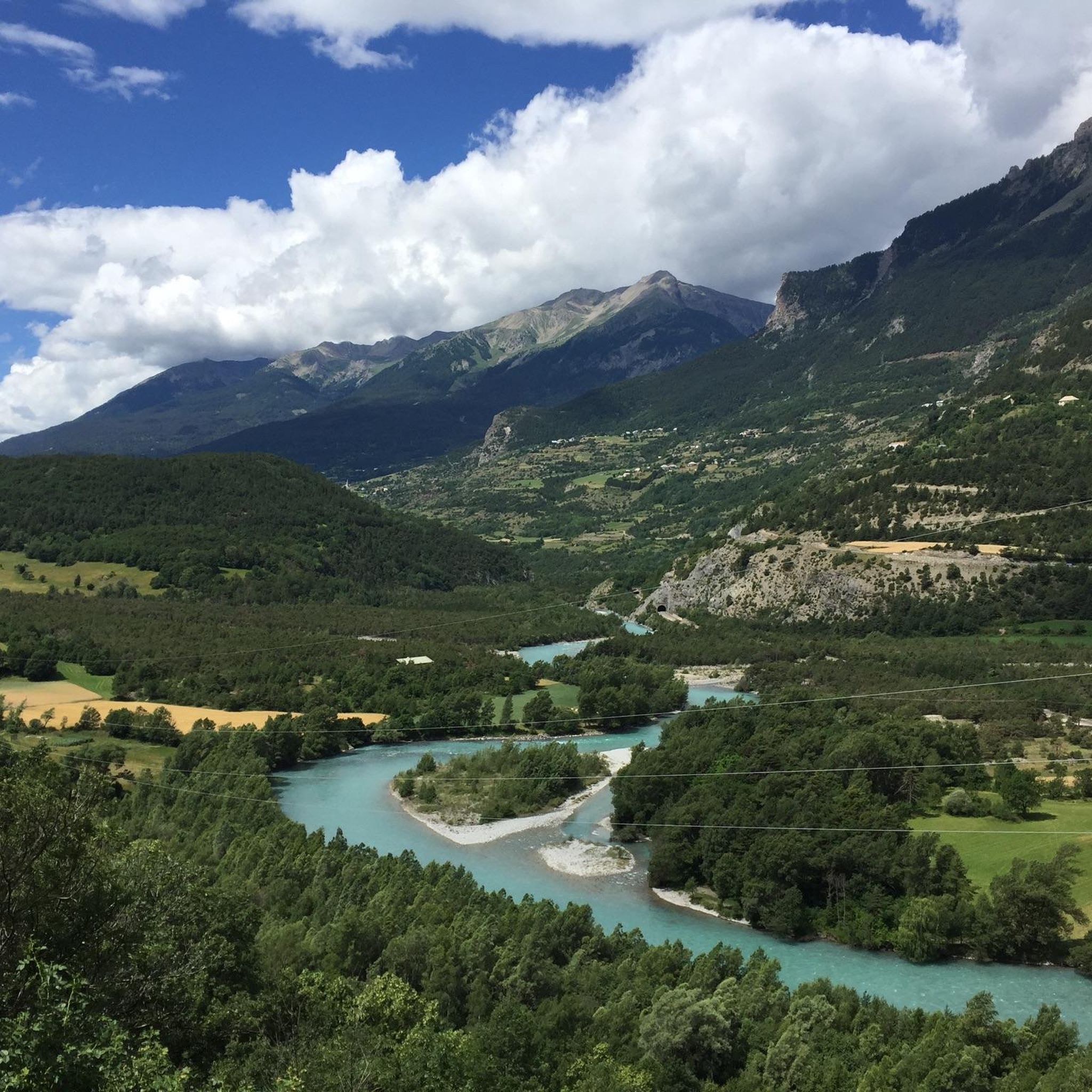
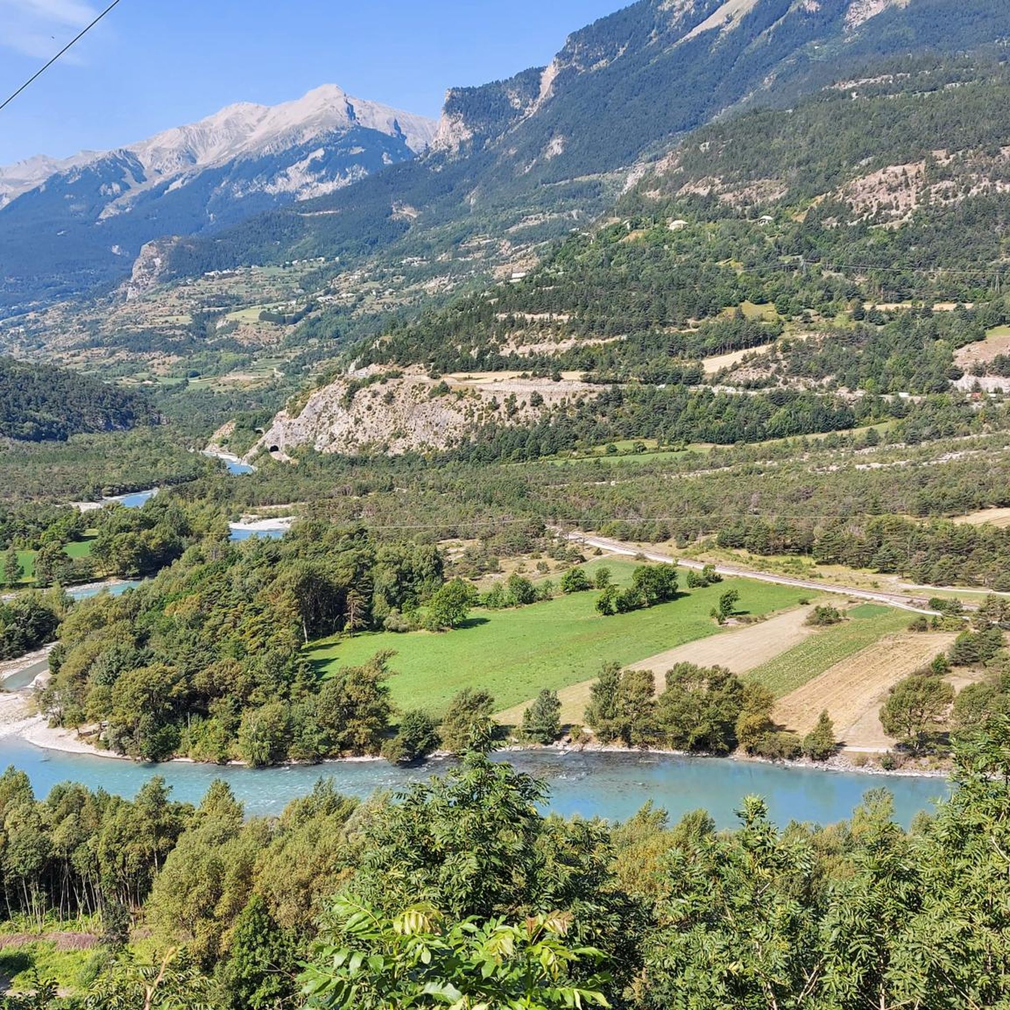
Hiking around Saint-Clément-Sur-Durance offers diverse terrain within the Durance valley and the Cottian Alps Geopark. The region features a mix of forested paths, riverine landscapes, and ascents to high-altitude peaks. Hikers can explore rugged mountainous environments, tranquil alpages, and serene valleys. This area provides a variety of trails suitable for different skill levels, from gentle riverside strolls to challenging mountain climbs.
Best hiking trails around Saint-Clément-Sur-Durance
- The most popular hiking route is Lake Siguret loop from Siguret, a 4.1…
Last updated: July 1, 2026
4.3
(11)
266
hikers
5.48km
01:43
210m
210m
Easy hike. Great for any fitness level. Easily-accessible paths. Suitable for all skill levels.
4.7
(22)
136
hikers
6.55km
02:00
220m
210m
Easy hike. Great for any fitness level. Easily-accessible paths. Suitable for all skill levels.

Sign up for free
4.6
(8)
84
hikers
11.2km
05:24
780m
780m
Hard hike. Very good fitness required. Mostly accessible paths. Sure-footedness required.
4.8
(8)
133
hikers
9.09km
02:42
270m
270m
Moderate hike. Good fitness required. Easily-accessible paths. Suitable for all skill levels.
4.7
(3)
42
hikers
8.99km
02:38
240m
240m
Moderate hike. Good fitness required. Mostly accessible paths. Sure-footedness required.
Get access to more routes and recommendations from other explorers.
Sign up for free
Already have an account?
Our route recommendations are based on thousands of hikes, rides, and runs completed by other people on komoot.
Start today with a free account
Your next adventure awaits.
Login or Signup
Popular around Saint-Clément-Sur-Durance

Tips from the Community

Hike accessible to everyone, beautiful landscape, calm. Ideal for a peaceful afternoon!
0
0

A summit with wonderful views: from the Barre des Ecrins to the Pic de Rochebrune. Reached from Ponteil, towards Cabane de l'Alp, and a portage from 2,700 m along the NE ridge. Technical descent (S3/S4) from the SW ridge.
0
0


Beautiful emerald green lake. As there are many trees around the lake it is excellent for picnics
0
0


Mont Dauphin is a historic town located in the French Alps, renowned for its Vauban Citadel, a UNESCO World Heritage Site. It offers a unique blend of cultural heritage and stunning mountain landscapes, attracting visitors seeking history and nature.
1
0
Mont Dauphin is a historic town located in the French Alps, renowned for its Vauban Citadel, a UNESCO World Heritage Site. It offers a unique blend of cultural heritage and stunning mountain landscapes, attracting visitors seeking history and nature.
0
0

The Friendship Bridge is a pretty wooden bridge which allows you to cross the Couleau. Enjoy the crystal clear water and this natural setting for a stopover.
0
0
Frequently Asked Questions
How many hiking trails are available around Saint-Clément-Sur-Durance?
There are over 300 hiking routes around Saint-Clément-Sur-Durance, catering to various skill levels. You'll find a mix of easy, moderate, and difficult trails to explore the Durance valley and surrounding mountains.
What kind of terrain can I expect on hikes in this region?
The region offers diverse terrain, from forested paths and tranquil riverine landscapes along the Durance River to rugged mountainous environments and high-altitude peaks within the Cottian Alps Geopark. You can expect ascents, alpages (mountain pastures), and views of serene lakes.
Are there any easy, family-friendly hikes in Saint-Clément-Sur-Durance?
Yes, there are many easy routes suitable for families. An excellent option is the Lake Siguret loop from Siguret, an easy 6.6 km trail that offers a scenic walk around the lake. Another easy choice is the Lac Siguret – Lake Siguret loop from Saint-Marcelin.
What are some notable natural features or viewpoints to see while hiking?
Hikers can enjoy prominent features like the 'pli couché' cliffs, part of the Cottian Alps Geopark. For stunning views, consider routes leading to high peaks such as Tête de Vautisse or Tête de Fouran. You can also find viewpoints like The Balconies of the Durance, offering expansive vistas of the valley.
Are there any hikes that feature waterfalls?
Yes, the region boasts beautiful waterfalls that can be incorporated into your hikes. Look for trails that pass by the Cascade de la Pisse or the Byasse Waterfall for refreshing natural sights.
What do other hikers say about the trails in Saint-Clément-Sur-Durance?
The trails in Saint-Clément-Sur-Durance are highly regarded by the komoot community, with an average rating of 4.5 stars from over 1,300 reviews. Hikers often praise the diverse landscapes, well-maintained paths, and the stunning panoramic views from the higher elevations.
Are there any circular hiking routes available?
Yes, many trails in the area are circular, allowing you to start and end at the same point. An example is the moderate Panorama of Saint-Alban – Pont de l'Amitié loop from Les Chamousses, which offers varied terrain and scenic views.
Can I find challenging hikes with significant elevation gain?
Absolutely. For experienced hikers seeking a challenge, routes like the difficult Tête de Vautisse – Col de Rougnoux loop from Cabane de l'Alp provide substantial elevation gain and lead to panoramic views from high peaks like Tête de Vautisse (3156m).
Are there any historical or cultural landmarks accessible by hiking?
Yes, the UNESCO World Heritage site of Mont-Dauphin, a fortified town by Vauban, is a significant cultural attraction nearby and can be accessed via hiking trails, offering a blend of nature and history.
What is the best time of year to go hiking in Saint-Clément-Sur-Durance?
The region is generally best for hiking from late spring through early autumn (May to October) when the weather is mild and the trails are clear of snow. Summer offers lush landscapes and warmer temperatures, while autumn provides vibrant foliage. High-altitude routes may still have snow earlier in the season.
Are there any trails that pass through forests?
Many trails in the Saint-Clément-Sur-Durance area wind through dense forests, offering shade and a different ecological experience. For instance, parts of the route to Tête de Fouran pass through extensive woodlands, and the Vallon du Couleau features peaceful routes through woods.
What kind of wildlife might I encounter on the trails?
The region is known for its preserved nature and exceptional biodiversity. Hikers might spot marmots, especially on paths like the Sentiers des Marmottes, and enjoy diverse flora and fauna throughout the wide-open spaces of the Southern Alps.
Most popular routes around Saint-Clément-Sur-Durance
Most popular attractions around Saint-Clément-Sur-Durance

Get inspired with the komoot mobile app


Explore more
Browse the best Hikes in other regions.
