The best mountain hikes around Saint-Guillaume
4.7
(5)
38
hikers
7
hikes
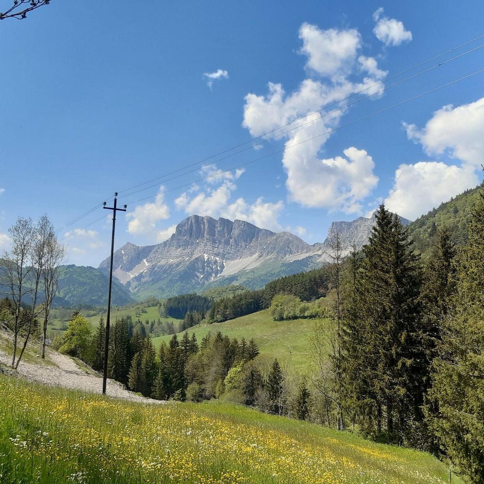
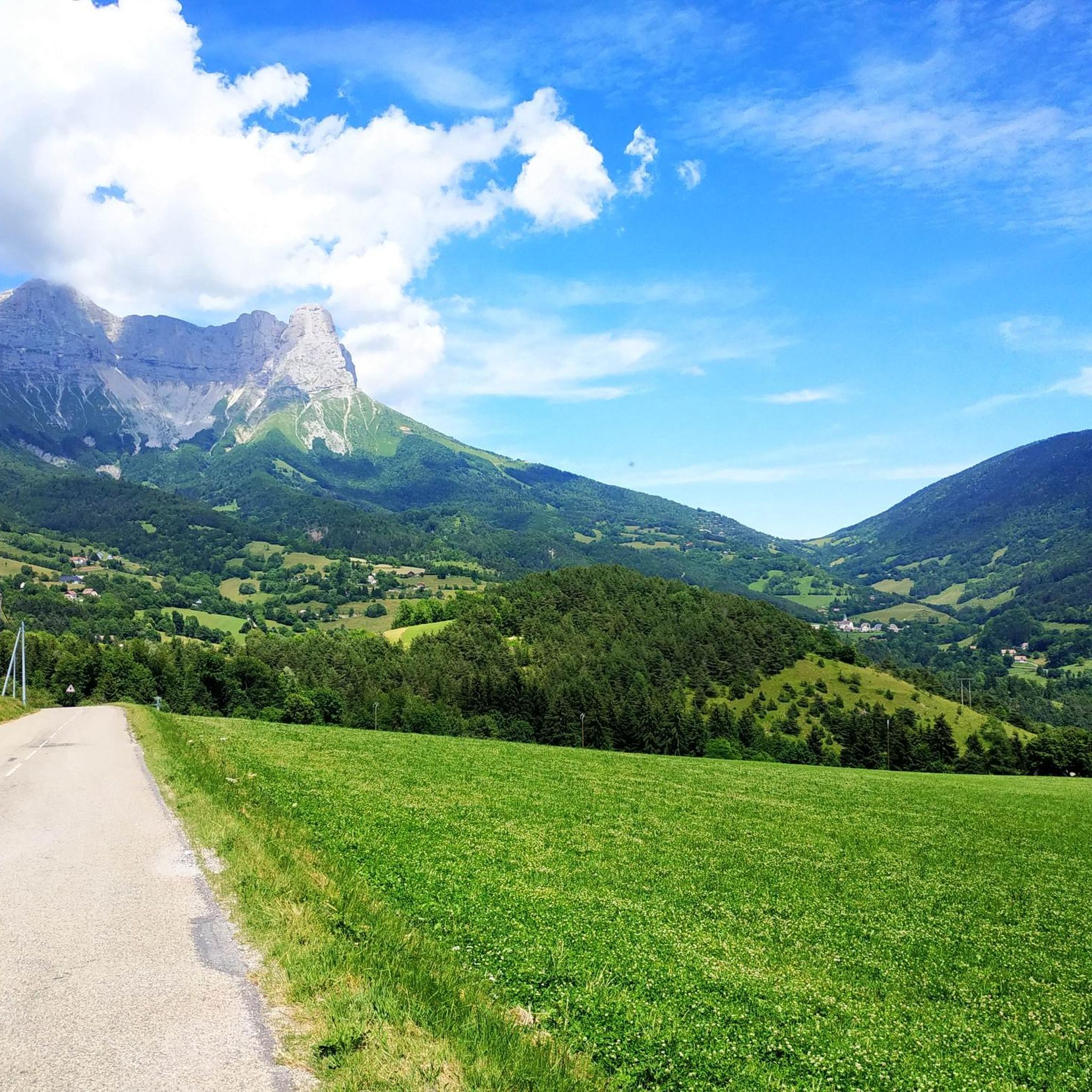
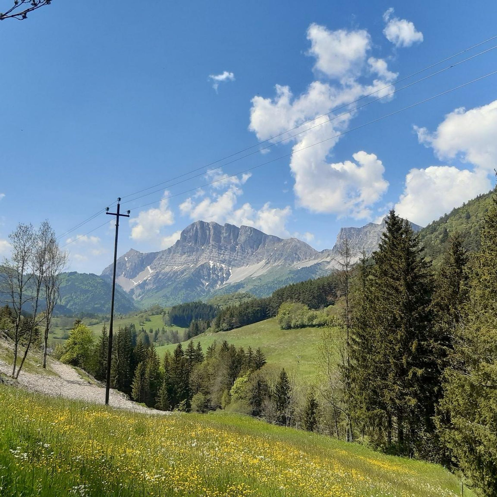
Mountaineering routes around Saint-Guillaume are primarily found within the Vercors Regional Natural Park in the Isère department and around Mont Guillaume in the Embrunais region. The Vercors area is characterized by dramatic limestone peaks like Mont Aiguille, extensive plateaus, and deep gorges such as the Gorges de la Bourne. Mont Guillaume offers challenging ascents through larch forests, leading to panoramic views of the Ecrins National Park. This diverse terrain provides varied opportunities for mountaineering.
Best mountaineering routes around Saint-Guillaume
- The…
Last updated: July 7, 2026
5.0
(1)
9
hikers
12.2km
06:40
1,080m
1,080m
Hard mountaineering route. Very good fitness required. Sure-footedness, sturdy shoes and alpine experience required.
11
hikers
10.3km
04:18
830m
830m
Moderate mountaineering route. Good fitness required. Mostly accessible paths. Sure-footedness required.

Sign up for free
5.0
(2)
5
hikers
15.9km
08:03
1,270m
1,270m
Hard mountaineering route. Very good fitness required. Sure-footedness, sturdy shoes and alpine experience required.
4.0
(2)
4
hikers
Easy mountaineering route. Great for any fitness level. Easily-accessible paths. Suitable for all skill levels.
2
hikers
8.69km
03:10
380m
380m
Moderate mountaineering route. Good fitness required. Mostly accessible paths. Sure-footedness required.
Get access to more routes and recommendations from other explorers.
Sign up for free
Already have an account?
Our route recommendations are based on thousands of hikes, rides, and runs completed by other people on komoot.
Start today with a free account
Your next adventure awaits.
Login or Signup

Tips from the Community

Technical passage, stay focused and careful on the supports. Magnificent!
0
0
As pretty at the top as at the bottom, lots of ways to get to the top, accessible for all levels (not technical but lots of elevation gain depending on your starting point) but it's worth it!
1
0
Great view! And those on all sides, some areas where it is easier to get your hands on (over 100 meters) but nothing insurmountable! No dangerous areas!
0
0

The Pont de Brion belvedere offers a breathtaking view of the charming stone bridge that spans the river below, with green hills as a backdrop. Along the trail, enjoy the tranquility of the place and the vibrant greenery that characterizes this picturesque spot.
0
0


Incredible vertiginous footbridge, one of the 2 Himalayan footbridges
0
0

Second highest peak in the Vercors - and as usual with "second summits" 😆 harder to climb than the Grand Veymont. But, as I did on my tour, it can be crossed from both sides, T4+ to T5 (according to the SAC scale) or climbing sections 1+. I recommend going from northeast to south. More in my tour and in the second waypoint listed here, these are often marked multiple times on Komoot...
1
1
Second highest peak in the Vercors - and as is usual with "second summits" 😆 harder to climb than the Grand Veymont. But it is also possible to cross it here, from both sides T4+ to T5 (according to the SAC scale) or climbing sections 1+. But it is easier at the top than it looks from the northeast, from Lac de Moucherolle. If you have enough time, you can also cross the Petite Moucherolle in another intermediate climb.
0
1
Frequently Asked Questions
What kind of terrain can I expect on mountaineering routes around Saint-Guillaume?
The region offers diverse terrain. In the Vercors Regional Natural Park, you'll encounter dramatic limestone peaks, extensive plateaus, and deep gorges. Around Mont Guillaume in the Embrunais, ascents often lead through magnificent larch forests to panoramic viewpoints. Expect a mix of challenging rocky paths and forested sections.
How many mountaineering routes are available in the Saint-Guillaume area?
There are over 10 mountaineering routes documented on komoot for the Saint-Guillaume area. These range from moderate ascents to difficult, multi-hour expeditions, primarily within the Vercors Regional Natural Park and around Mont Guillaume.
Are there any circular mountaineering routes in Saint-Guillaume?
Yes, several routes are circular. For a challenging full-day expedition, consider the Bachassons Pass loop from Gresse-en-Vercors, which covers 22.2 km. A slightly shorter, difficult option is the Path with panoramic view – Grand Veymont loop from Gresse-en-Vercors, offering expansive views from the Vercors' highest point.
What are some notable natural features or landmarks to look out for on these routes?
The Vercors area is known for iconic features like Mont Aiguille and the dramatic Gorges de la Bourne. Around Mont Guillaume, you'll find a restored chapel at the summit offering 360-degree views. You can also discover impressive structures like the Ebron Footbridge, a 180m long Himalayan-style bridge, or enjoy views of Lake Monteynard from the Balcon du Drac.
Are there any moderate mountaineering routes suitable for those looking for a less strenuous challenge?
Yes, there are moderate options available. The Scialet des Pullis loop from Corrençon-en-Vercors is a moderate 9.6 km path that explores the Vercors plateau, featuring varied terrain and natural features without the extreme difficulty of some other routes.
What do other mountaineers say about the routes in Saint-Guillaume?
The routes in Saint-Guillaume are highly rated by the komoot community, with an average score of 4.7 stars from over 8 reviews. Mountaineers often praise the challenging terrain, the rewarding panoramic views, and the natural beauty of the Vercors and Embrunais regions.
Can I find places to stay or eat near the mountaineering trails?
Yes, there are several huts and refuges in the area that can serve as resting points or overnight stays. Options include the La Soldanelle Refuge, Cabane de Carette, and the Grand Veymont Shelter. For more extensive amenities, towns like Gresse-en-Vercors or Embrun offer cafes, pubs, and accommodation.
What are some of the more difficult mountaineering challenges in the region?
For experienced mountaineers seeking a significant challenge, the Highly technical passage loop from Château-Bernard is a demanding 15.8 km route. Another difficult option is the Tête des Chaudières – Pas de la Balme loop from Corrençon-en-Vercors, which offers a substantial elevation gain.
Are there any lakes or viewpoints along the mountaineering routes?
Absolutely. The region is dotted with beautiful lakes and offers numerous viewpoints. You can find stunning vistas of La Moucherolle Lake or enjoy expansive views of Lake Monteynard from the Corniche du Drac. Many routes, especially those ascending peaks like Grand Veymont or Mont Guillaume, provide panoramic views of the surrounding Alps and national parks.
When is the best time of year for mountaineering in Saint-Guillaume?
The best time for mountaineering typically spans from late spring to early autumn (May to October). However, even in late May, higher elevations, particularly above 2200 meters on Mont Guillaume, can still have thick snow, making conditions challenging. Always check local weather and trail conditions before heading out, especially for higher altitude routes.
Are there opportunities for other outdoor activities besides mountaineering in the Saint-Guillaume area?
Yes, the region is a hub for various outdoor pursuits. The Vercors Regional Natural Park offers extensive hiking and trekking, including difficult trails up to 36.8 km. The nearby Pays des Écrins provides numerous via ferrata courses and rock climbing spots. In winter, the Ecrins area is excellent for ski touring and freeride skiing, and the Hautes Alpes offer ice climbing.
Most popular routes around Saint-Guillaume
Most popular attractions around Saint-Guillaume

Get inspired with the komoot mobile app


Explore more
Browse the best Mountain Hikes & Routes in other regions.
