The best running trails around Saint-Guillaume
4.4
(70)
5,027
runners
135
runs
Jogging routes around Saint-Guillaume traverse a diverse landscape, particularly within the vicinity of the Vercors Regional Natural Park. This region is characterized by dramatic limestone cliffs, deep gorges, and dense forests, offering varied terrain for runners. Rivers and mountainous areas provide both challenging ascents and scenic paths. The natural features support a range of running experiences, from forest trails to routes with significant elevation changes.
Best jogging routes around Saint-Guillaume
- The most popular jogging route is Col des Deux loop…
Last updated: October 4, 2026
5.0
(1)
31
runners
9.00km
01:19
380m
380m
Hard run. Very good fitness required. Sure-footedness, sturdy shoes and alpine experience required.
12
runners
12.5km
01:26
270m
270m
Hard run. Good fitness required. Sure-footedness, sturdy shoes and alpine experience required.

15
runners
11.3km
01:40
480m
490m
Hard run. Very good fitness required. Sure-footedness, sturdy shoes and alpine experience required.
11
runners
9.81km
01:19
350m
350m
Hard run. Very good fitness required. Mostly accessible paths. Some sure footedness required.
4.0
(2)
12
runners
12.1km
02:03
750m
750m
Hard run. Very good fitness required. Sure-footedness, sturdy shoes and alpine experience required.
Get access to more routes and recommendations from other explorers.
Already have an account?
Our route recommendations are based on thousands of hikes, rides, and runs completed by other people on komoot.
Start today with a free account
Your next adventure awaits.


Tips from the Community


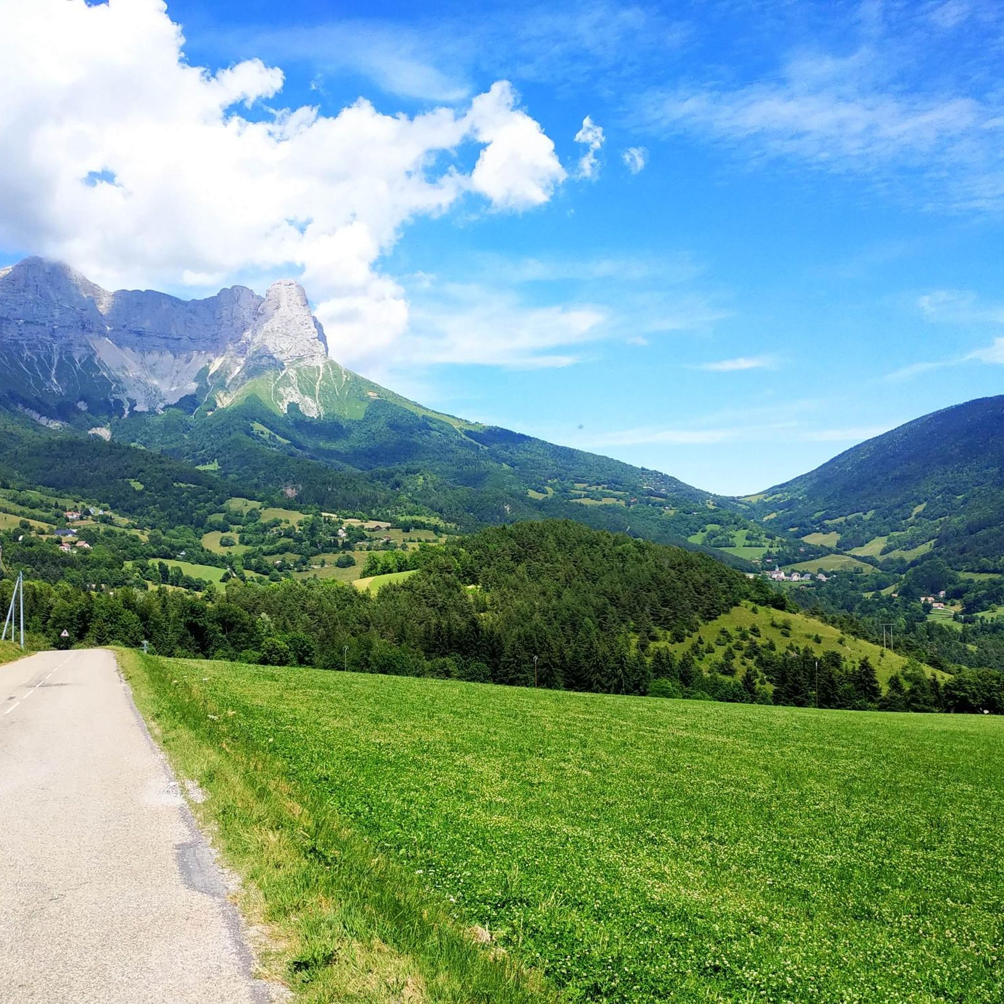
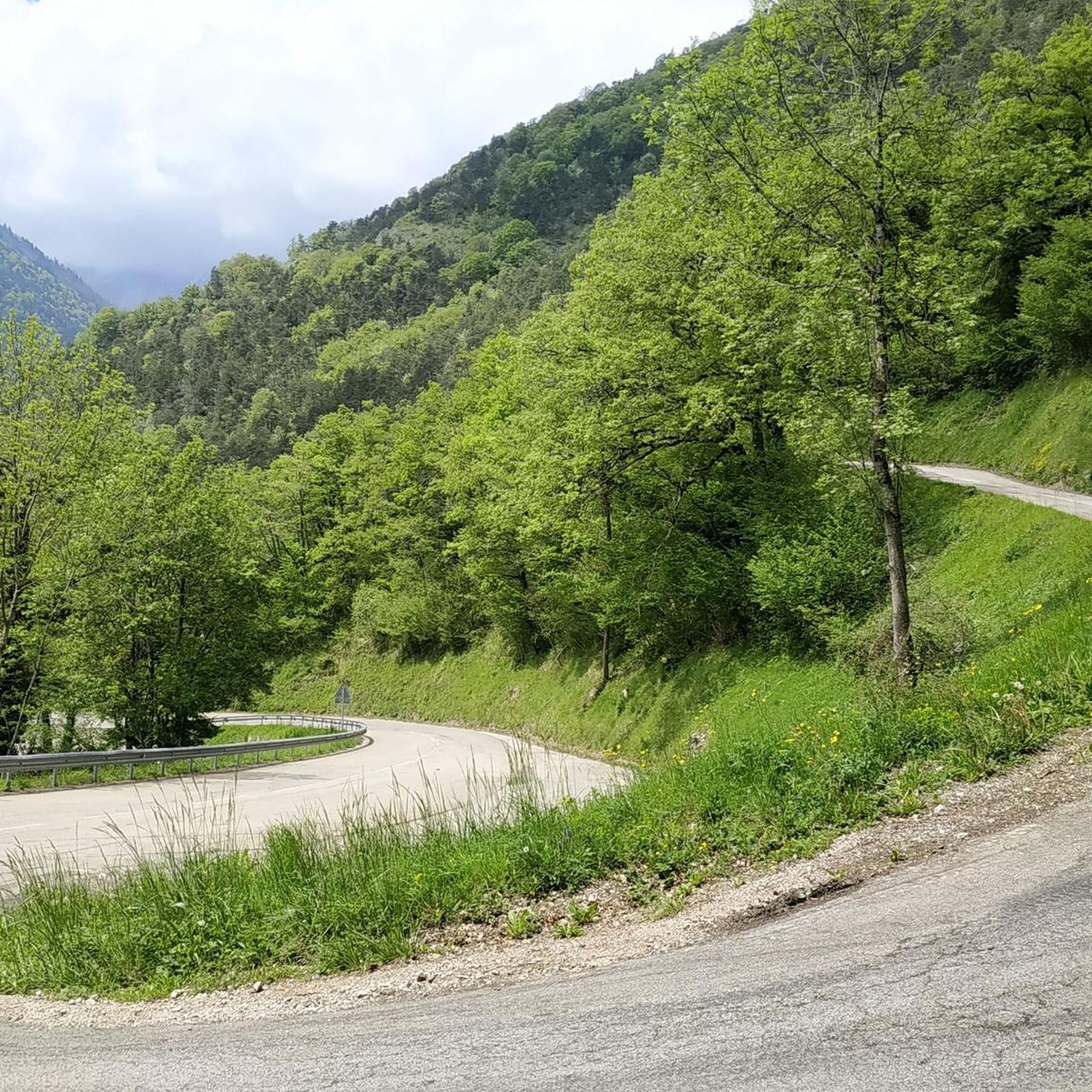
The Col des Deux is not located in the Bauges Massif but in the Vercors between the Col de l’Arzelier and the Col de l’Allimas. This trilogy is well known to cyclists in the Grenoble metropolitan area.
0
0

Small pass without too many passages and with tracks on each side for gravel riders 😁
0
0

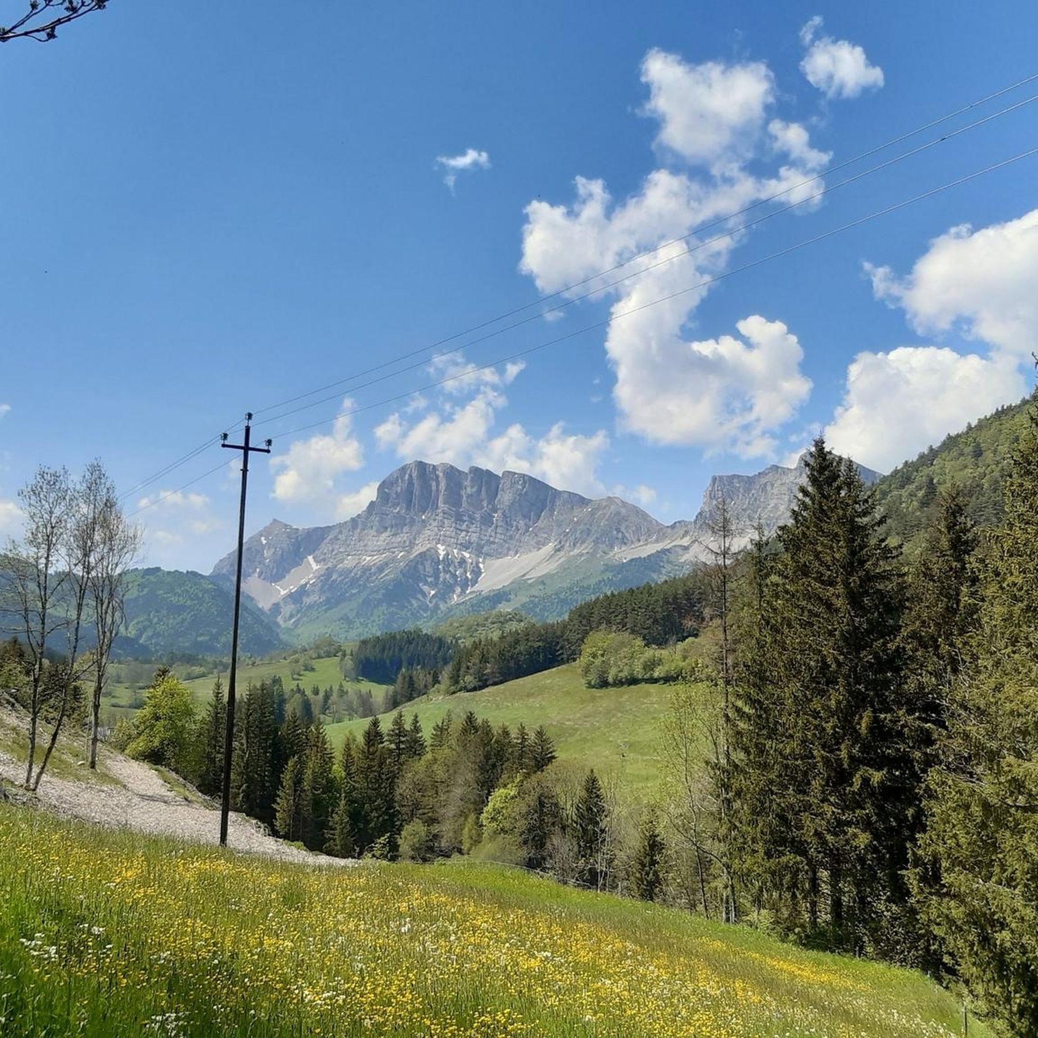
Official referenced pass, a true hidden and lost paradise, not the most famous cycling climb in the area, but without a doubt the most beautiful. In the middle of the mountain pastures, MAG-NI-FIQUE mountainous viewpoints of the Vercors. Indescribable. Unmissable.
0
0

The Col des Deux, perched in the Bauges massif, offers a breathtaking panorama of the surrounding mountains and alpine valleys. As you climb the slopes, you can enjoy spectacular views of the peaks and the pure mountain air.
0
1

Nestled at an altitude of 1,200 meters, Gresse-en-Vercors is the highest village in the Vercors. Ideally located, outdoor sports are practiced all year round. There are also several restaurants and grocery stores that allow you to stock up on long hikes.
1
0
Located at an altitude of 1,500 meters at the Col de l'Arzelier, the Soldanelle refuge was built in 1968. Its terrace offers a breathtaking view of the valley. You can sleep there in both a dormitory and a yurt. The refuge is not manned all year round. All the information here: https://www.lasoldanelle.com/refuge/.
2
2

Frequently Asked Questions
How many running routes are available in the Saint-Guillaume area?
There are over 130 dedicated running routes around Saint-Guillaume, offering a wide range of experiences. These routes are highly rated by the komoot community, with an average score of 4.5 stars.
What kind of terrain can I expect on the jogging trails in Saint-Guillaume?
The jogging trails in Saint-Guillaume, especially those near the Vercors Regional Natural Park, feature diverse terrain. You'll encounter dramatic limestone cliffs, deep gorges, and dense forests. Many routes include significant elevation changes, providing both challenging ascents and scenic paths through mountainous areas.
Are there any easy or beginner-friendly running routes in Saint-Guillaume?
While many routes in Saint-Guillaume are rated as difficult due to elevation changes, there are some easier options available. For example, the Superb approach trail – Gresse-en-Vercors loop from Gresse-en-Vercors offers a moderate challenge with beautiful forest views, suitable for those looking for a less strenuous run.
What are some scenic viewpoints or landmarks I can see while running in Saint-Guillaume?
The region offers several scenic highlights. You can experience magnificent views of the Monteynard-Avignonet lake and surrounding peaks from the Ebron Footbridge. Other notable viewpoints include the View of Lake Monteynard from the Balcon du Drac and the View of Lake Monteynard from the Corniche du Drac. The Grand Veymont summit also offers breathtaking panoramas.
Are there any circular running routes available in the Saint-Guillaume area?
Yes, many of the running routes around Saint-Guillaume are circular, allowing you to start and finish at the same point. A popular option is the Col des Deux loop from Aux Fraisses, which is a challenging 9 km trail with significant elevation changes.
What do other runners enjoy most about the trails in Saint-Guillaume?
The running routes in Saint-Guillaume are highly rated by the komoot community, with an average score of 4.5 stars from over 30 reviews. Runners frequently praise the diverse and challenging terrain, the stunning natural beauty of the Vercors landscape, and the well-maintained paths that offer a rewarding outdoor experience.
Are there any routes that pass by lakes or rivers in Saint-Guillaume?
Absolutely. The region is known for its beautiful waterways. The Blue Lake Loop, mentioned in regional research, is an 8-kilometer trail showcasing the magnificent Blue Lake. You can also find routes with views of Lake Monteynard, such as those accessible near the Ebron Footbridge, and the La Moucherolle Lake is another beautiful spot.
Are there any historical or cultural points of interest along the running paths?
Yes, the region offers a blend of natural beauty and historical significance. The regional research mentions a Historical Trail that combines cultural exploration with physical activity, featuring historical landmarks along ancient paths. While not directly on a running route, the Notre-Dame-de-la-Salette church is a cultural point of interest within reach of scenic routes.
What is the typical duration for a running route in Saint-Guillaume?
The duration of running routes varies depending on their length and difficulty. For example, the Col des Deux loop from Aux Fraisses, a 9 km difficult trail, typically takes about 1 hour and 19 minutes. Longer and more challenging routes, like the Serpaton Pass loop from Monestier-de-Clermont (12.1 km), can take over 2 hours.
Are there any running routes that offer panoramic views of the surrounding valleys?
Many routes in Saint-Guillaume provide stunning panoramic views. The Superb approach trail – Gresse-en-Vercors loop from Gresse-en-Vercors winds through forests and offers beautiful views of the surrounding valleys. Additionally, the regional research highlights L'Ascension du Mont Vert as a technical climb rewarding with exceptional panoramic views.
Can I find trails that are suitable for a more strenuous workout?
Absolutely. Saint-Guillaume is well-suited for runners seeking a strenuous workout, with 94 out of 131 routes rated as difficult. Trails like the Rocher des Deux Soeur – La Soldanelle Refuge loop from Château-Bernard, which covers 10.2 km through mountain terrain with significant elevation, are perfect for a challenging run.
Are there any specific natural features to look out for on the trails?
The region is rich in natural features. You'll encounter the dramatic limestone cliffs and deep gorges characteristic of the Vercors Regional Natural Park. Keep an eye out for diverse flora and fauna within the lush forests. The Crêtes Sauvages, less than an hour's drive away, are also known for spectacular scenery and wildlife observation opportunities.
Most popular routes around Saint-Guillaume
Most popular attractions around Saint-Guillaume

Get inspired with the komoot mobile app


Explore more
Browse the best Running Trails & Routes in other regions.
