The best running trails around Guitinières
4.7
(6)
360
runners
78
runs
Jogging around Guitinières offers an opportunity to explore the tranquil, rural landscapes of Charente-Maritime. The region features rolling countryside, agricultural vistas, and river basins, providing varied scenery for running. Guitinières itself is situated within a basin, with elevations ranging from 27 to 66 meters, indicating gentle inclines suitable for diverse fitness levels. The area's natural features include open fields, vineyards, and waterways, creating a peaceful environment for outdoor activity.
Best jogging routes around Guitinières
- The most popular jogging route is…
Last updated: July 6, 2026
4.0
(1)
59
runners
9.94km
01:06
30m
30m
Moderate run. Good fitness required. Mostly paved surfaces. Suitable for all skill levels.
14
runners
16.9km
01:52
60m
60m
Hard run. Very good fitness required. Mostly paved surfaces. Suitable for all skill levels.

Sign up for free
8
runners
9.32km
00:59
60m
60m
Moderate run. Good fitness required. Mostly paved surfaces. Suitable for all skill levels.
4
runners
9.83km
01:04
50m
50m
Moderate run. Good fitness required. Mostly paved surfaces. Suitable for all skill levels.
3
runners
8.05km
00:50
40m
40m
Moderate run. Good fitness required. Mostly paved surfaces. Suitable for all skill levels.
Get access to more routes and recommendations from other explorers.
Sign up for free
Already have an account?
Our route recommendations are based on thousands of hikes, rides, and runs completed by other people on komoot.
Start today with a free account
Your next adventure awaits.
Login or Signup

Tips from the Community

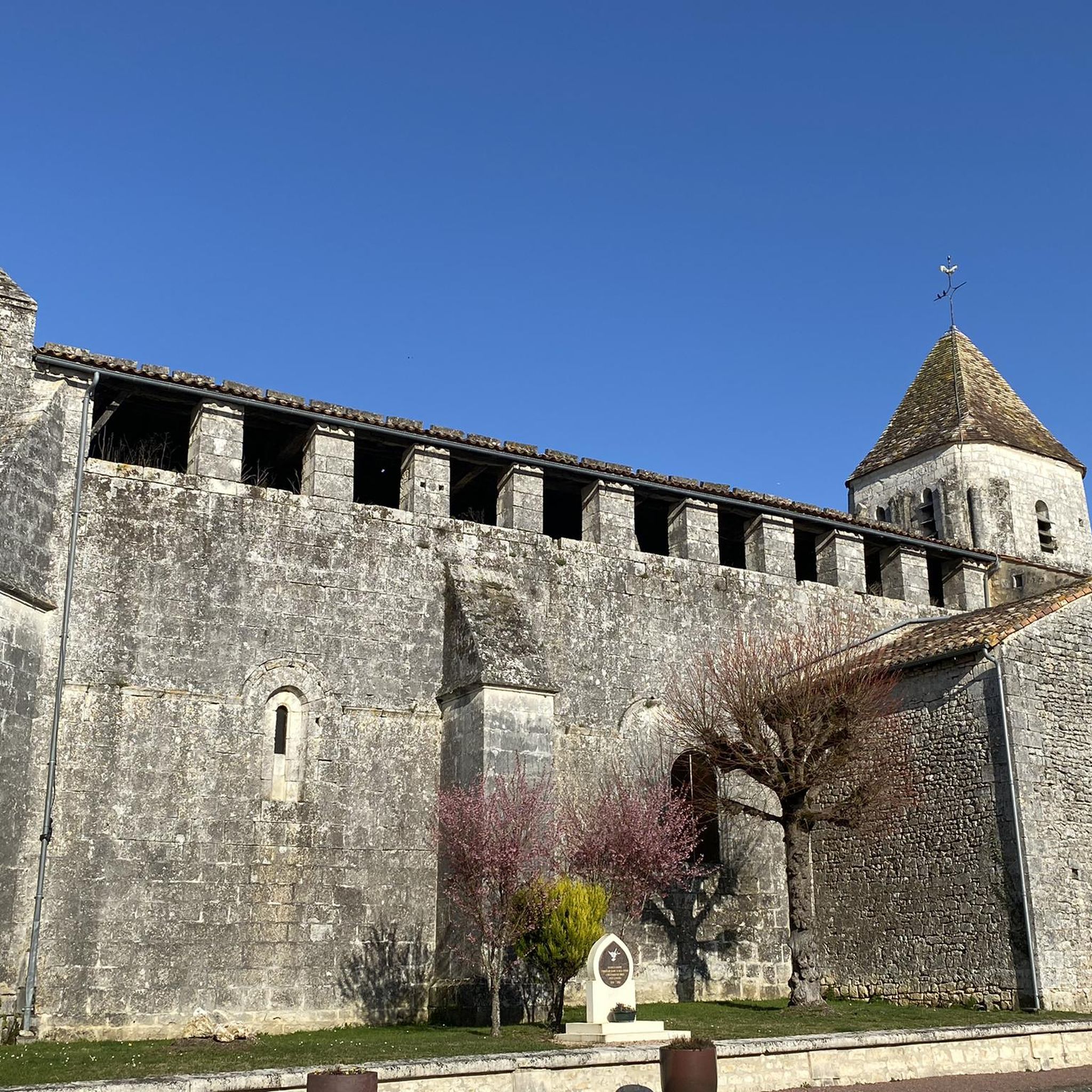
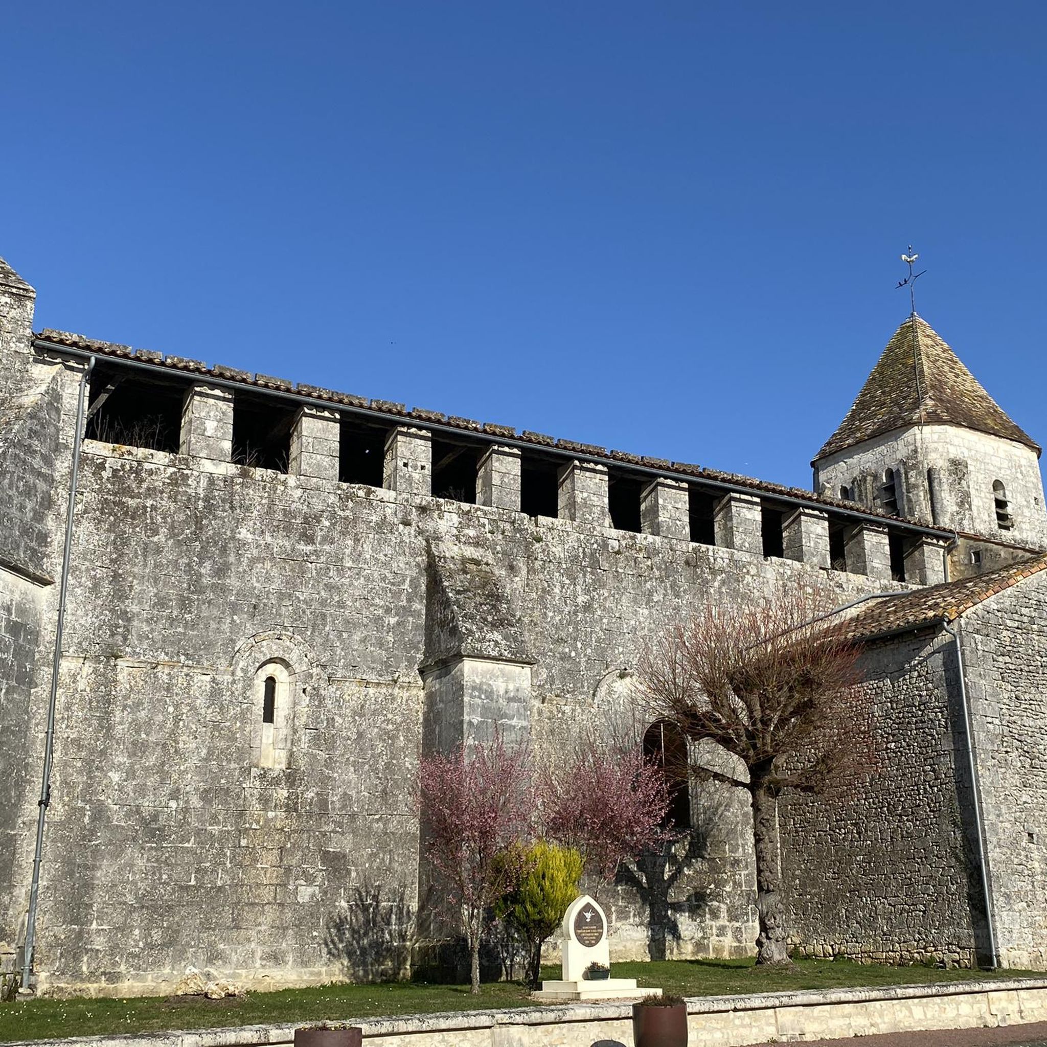
In 1073, the castle already exists; the first known lord was Guillaume de la Rochandry at the beginning of the 12th century. The 1449 inscription on the castle attests to its reconstruction following the destruction caused by the Hundred Years War. In 1505, Jean de Sainte-Maure, lord of Jonzac, founded the Carmelite monastery on the remains of an old chapel dedicated to Saint Nicolas. The cloister was built in 1657. The young Louis XIV, the Queen Mother and Mazarin stayed at the castle in 1659. The castle remained at Sainte-Maure until the end of the 17th century, then passed through marriage to Espardes de Lussan, which transformed the fortress in beautiful stately home with neat ornamentation and guard until the Revolution. Currently the north wing of the castle houses the buildings of the Town Hall (restored in the 19th century), and the south wing, those of the sub-prefecture. The cloister was restored between 1976 and 1978, and now houses a cultural center, with exhibition halls and an archaeological museum. The towers, postern and fountain in the basement date from the 12th century. Of the old feudal castle, only the postern and an isolated tower remain, connected to the main body by a large hall. The moat in front of the drawbridge was filled was filled in the 19th century. It was reopened at the beginning of the 21st century. The imposing gatehouse is marked 1549 and therefore dates from the 16th century, a period of work including the north-west tower, while the south-west tower, of a smaller diameter, is from the 17th century. The towers flanking the postern have retained their defenses. At each, the loopholes have been retained or enlarged. Stone stairs serve each floor and access the walkway. This passage seems to have been discovered, as evidenced by the gargoyles. The crenellation includes machicolations with archers in the middle of the merlons. The slate roofs are high pepperboxes on the towers, and a curious set with two sides connecting two pepperboxes for the gatehouse The fountain located in the basement of the sub-prefecture, has a niche and a niche frame decorated with sculptures imitating stalactites. Carved mask. The fountain was probably built by Léon de Sainte-Maure, Count of Jonzac, who enlarged and embellished the castle in the middle of the 12th century. In a former courtyard of the castle, a theater was built in the 19th century. It is a round building with approximately 300 seats.
0
0
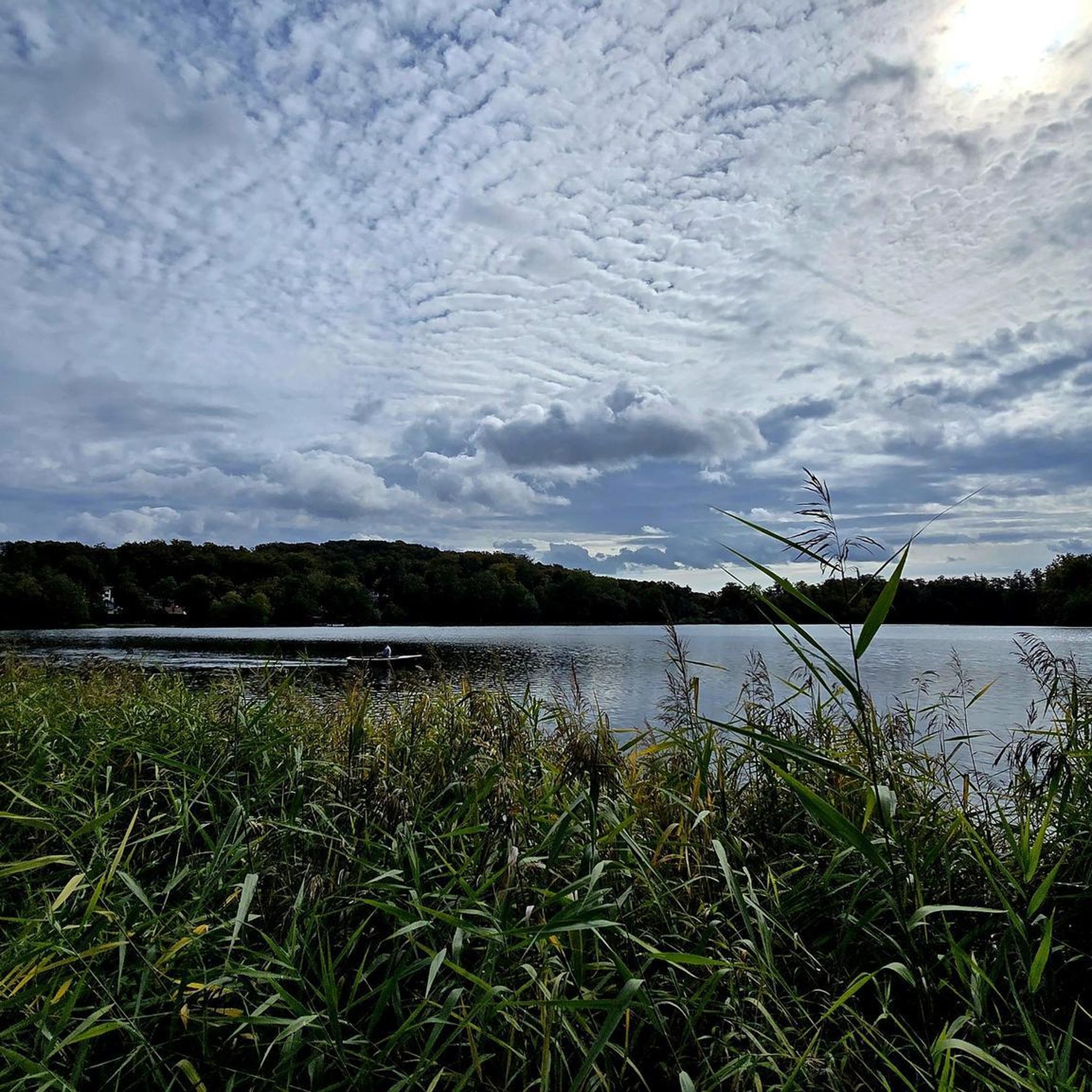
The Seugne crosses a single department, in this case that of Charente-Maritime, watering thirty-six communes and seven cantons. The Seugne has its source in the canton of Montlieu-la-Garde, then crosses the cantons of Montendre, Jonzac, Saint-Genis-de-Saintonge, Pons, Gémozac and, finally, confluences in the canton of Saintes-Est. The Seugne has eighteen tributaries or referenced arms. The old forms of the name Seugne are flumen Soenna around 1100, Sonye in 1280, la Soyngna in 1322, la Soyngnhe in 1354, aqua Soynnie in 1363, Souaigne in 1494. The current pronunciations, Seugne and Souègne, are based on a medieval form Soïgne, which the scribes of the 13th and 14th centuries had difficulty transcribing. According to Duguet, a more recent spelling, Seuigne was misread and interpreted Sévigne in the 19th century.
0
0
Frequently Asked Questions
How many running routes are available around Guitinières, and what are their difficulty levels?
There are over 50 running routes available in the Guitinières area. Most of these, around 47, are considered moderate, offering a good challenge for regular runners. There are also 3 easy routes for those looking for a gentler pace, and 5 more challenging options for experienced trail runners.
What kind of scenery can I expect on the running trails near Guitinières?
Jogging around Guitinières offers a diverse and tranquil experience. You'll encounter rolling countryside, picturesque agricultural vistas including vineyards, and lush riverine landscapes. The broader Charente-Maritime region also features wooded hills and forests, providing a varied backdrop for your runs.
Are there many circular running routes in the Guitinières area?
Yes, many of the running paths in the vicinity of Guitinières are designed as loops, offering convenient circular routes. For example, the Running loop from Nieul-le-Virouil and the Running loop from Saint-Germain-de-Lusignan are popular choices that allow you to start and finish in the same location.
Are there any family-friendly jogging routes suitable for all ages?
While most routes are moderate, the region's gentle inclines and varied terrain mean there are options suitable for diverse fitness levels. For a pleasant, less strenuous run, consider routes originating from towns like Jonzac, which often feature parkland. The Floral park – Wooden Boardwalks loop from Jonzac is a good example of a route that offers a pleasant experience through parkland.
Can I bring my dog on the running trails around Guitinières?
Generally, the rural and natural settings around Guitinières are welcoming to dogs, especially on trails away from private property or protected areas. However, it's always recommended to keep your dog on a leash, especially near agricultural fields or livestock, and to check for any local signage regarding pet restrictions in specific parks or nature reserves.
What are the parking options or public transport access points for these running trails?
Many running routes originate from nearby towns such as Jonzac, Nieul-le-Virouil, and Saint-Germain-de-Lusignan, where parking is typically available. The well-maintained road network in the local area also provides good access. While specific public transport details for trailheads aren't always available, these towns often serve as local transport hubs.
When is the best time of year to go jogging in Guitinières?
Guitinières benefits from an oceanic climate, characterized by mild temperatures, making it conducive to outdoor activities like jogging throughout the year. Spring and autumn offer particularly pleasant conditions with comfortable temperatures and beautiful seasonal colors. Even in summer, the region's greenery and occasional shaded paths provide enjoyable running opportunities.
Are there any interesting landmarks or attractions to see while running near Guitinières?
While jogging, you might encounter various points of interest in the wider area. Notable attractions include the historic Jonzac Castle, the serene Saint Paul Chapel, and the charming Saint-André Church of Clion. These offer glimpses into the region's heritage and can be interesting stops along your route.
What do other runners enjoy the most about jogging in Guitinières?
The running routes around Guitinières are highly rated by the komoot community, with an average score of 4.5 stars. Runners often praise the tranquil, rural landscapes, the varied terrain that keeps runs interesting, and the sense of peace found amidst the rolling countryside and agricultural fields. The accessibility of routes from nearby towns is also frequently appreciated.
Are there any longer running trails for endurance training near Guitinières?
Yes, for those looking for longer distances, there are several options. The Heurtebise leisure park loop from Jonzac is a moderate 6.3-mile (10.1 km) path, and the Heurtebise leisure park – Floral park loop from Jonzac extends to nearly 11 km, offering more extensive running experiences through varied terrain.
What is the typical elevation gain on running routes in this area?
Guitinières itself is situated within a basin with elevations ranging from 27 to 66 meters, suggesting gentle inclines. Most routes feature moderate elevation gains, making them accessible yet engaging. For example, the Floral park – Wooden Boardwalks loop from Jonzac has an elevation gain of about 23 meters, while the Heurtebise leisure park loop from Jonzac has around 62 meters of ascent, providing a good mix of flat sections and gentle climbs.
Most popular attractions around Guitinières

Get inspired with the komoot mobile app


Explore more
Browse the best Running Trails & Routes in other regions.
