The best walks and hikes around Guitinières
4.5
(49)
228
hikers
36
hikes
Hiking around Guitinières offers access to a diverse landscape in the Charente-Maritime department of Nouvelle-Aquitaine, France. The region features a mix of agricultural plains, vineyards, and woodlands, shaped by rivers like the Rochette and the Maine. The topography is generally gentle, with slightly hilly terrain, making it accessible for various walking abilities.
Best hiking trails around Guitinières
- The most popular hiking route is Donkey Bridge and Saint Paul Chapel Loop, a 5.6 miles (9.0 km) trail that takes 2…
Last updated: June 30, 2026
4.3
(4)
15
hikers
9.00km
02:18
30m
30m
Moderate hike. Good fitness required. Easily-accessible paths. Suitable for all skill levels.
5.0
(4)
10
hikers
4.90km
01:15
20m
20m
Easy hike. Great for any fitness level. Easily-accessible paths. Suitable for all skill levels.

Sign up for free
3.0
(2)
8
hikers
4.39km
01:07
20m
20m
Easy hike. Great for any fitness level. Easily-accessible paths. Suitable for all skill levels.
4.5
(2)
4
hikers
3.50km
00:54
10m
10m
Easy hike. Great for any fitness level. Easily-accessible paths. Suitable for all skill levels.
3.0
(1)
5
hikers
2.92km
00:45
10m
10m
Easy hike. Great for any fitness level. Easily-accessible paths. Suitable for all skill levels.
Get access to more routes and recommendations from other explorers.
Sign up for free
Already have an account?
Our route recommendations are based on thousands of hikes, rides, and runs completed by other people on komoot.
Start today with a free account
Your next adventure awaits.
Login or Signup
Tips from the Community

Next to the museum there is a kiosk with cold drinks etc.
0
0
Below the church a spring rises and flows into an old washing place - wonderful for refreshment on a hot day
0
1

This Templar chapel was built in the 12th century and renovated in 1706. It was acquired in 1949 by Mr. and Mrs. Frédéric, the current owners, who completely restored it. Since 1986, on August 15 of each year, a mass has been celebrated there.
2
0
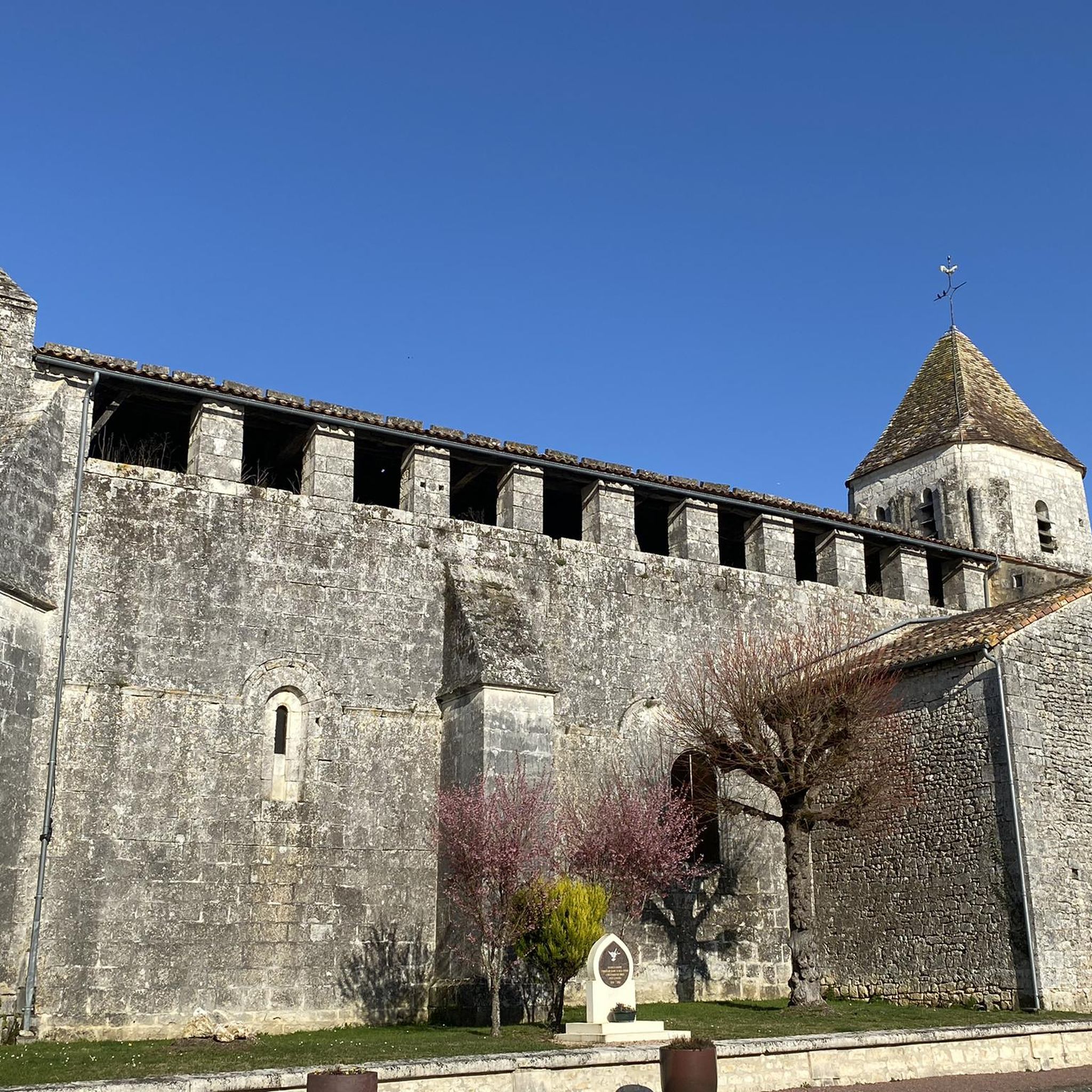
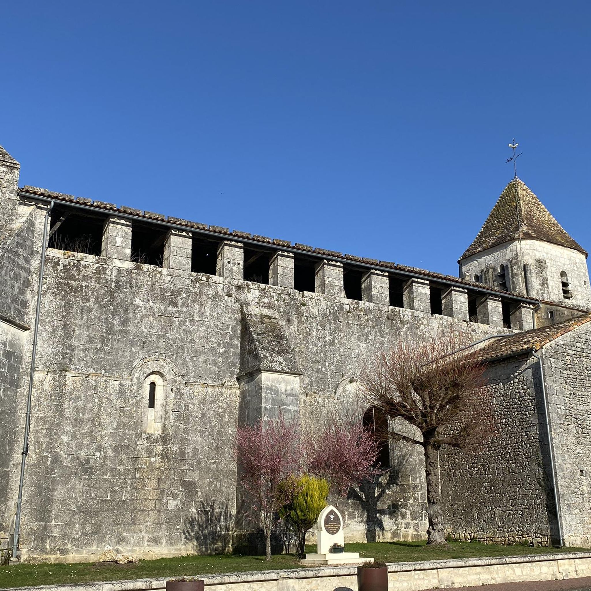
This Romanesque church was built in the 12th century, but all that remains of the original building is the bell tower. It was modified in the 15th and 16th centuries. A Renaissance style facade replaces the original facade and the square bell tower was built in the 12th century.
2
0
Dating from the Gallo-Roman period, the so-called "Pas de la Mule" bridge is located on the Seugne. Made up of 6 blocks of stone, it linked the village of Lansac to a water mill called "la cité". It also allowed the passage of animals transporting cereals and flour between the watermill, in the commune of Saint Georges Antignac, and the windmills of Les Groies in Clion.
2
0

Charming little piece of nature. The chapel (above) can be visited when it is open. A skeleton welcomes you but don't worry, it is very discreet!
0
0

A pleasant visit with a passionate guide.
0
0

Frequently Asked Questions
How many hiking trails are available around Guitinières?
Guitinières offers a wide selection of hiking opportunities, with over 35 routes available. These trails cater to various preferences, from easy strolls through the countryside to more moderate excursions.
What kind of landscapes can I expect to see while hiking in Guitinières?
The hiking trails around Guitinières traverse a diverse environment characteristic of the Charente-Maritime department. You'll encounter a mix of agricultural plains, picturesque vineyards, and tranquil woodlands like the Plantis wood. Rivers such as the Rochette and the Maine also shape the scenic beauty, offering varied natural features.
Are there any easy hiking trails suitable for beginners or families?
Yes, Guitinières is well-suited for beginners and families, with 24 out of 37 routes classified as easy. An excellent option is the Saint-André Church of Clion – Saint Paul Chapel loop from Clion, an easy 3.2-mile (5.2 km) path that showcases traditional architecture and verdant landscapes. Another gentle route is the Donkey bridge – Saint-André Church of Clion loop from Clion, which is 2.9 miles (4.6 km) long.
Can I find circular hiking routes in the area?
Yes, many of the trails around Guitinières are designed as circular routes, allowing you to start and end at the same point. A popular example is the Donkey Bridge and Saint Paul Chapel Loop, a moderate 5.6-mile (9.0 km) trail that explores the countryside around Clion.
What are some notable landmarks or points of interest I can see on the trails?
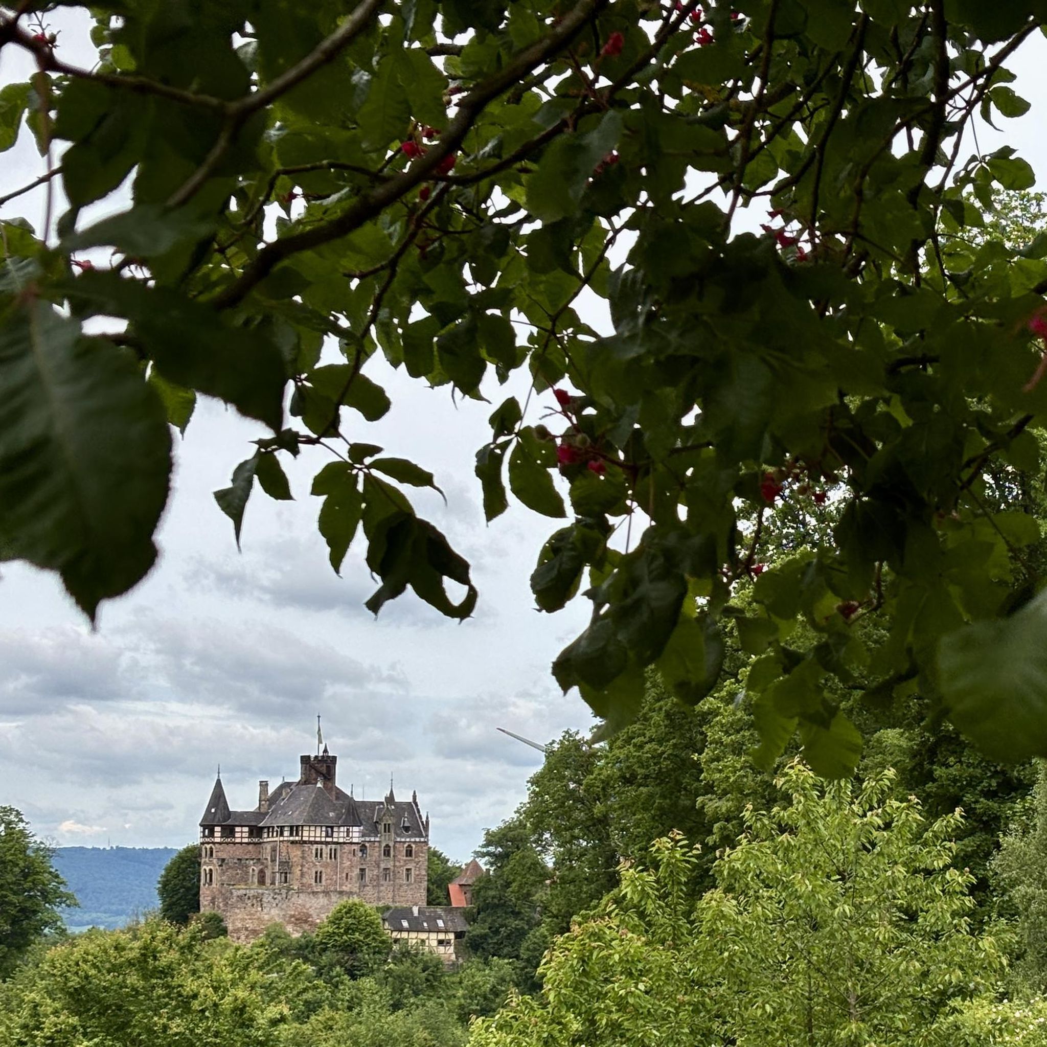
Hikers can discover several interesting landmarks and historical sites. Along routes near Clion, you might encounter the historic Donkey bridge and the charming Saint Paul Chapel. The Saint-André Church of Clion is another notable religious building often featured on local loops. Further afield, you could visit Jonzac Castle.
What do other hikers say about the trails in Guitinières?
The hiking trails in Guitinières are highly regarded by the komoot community, boasting an average rating of 4.5 stars from over 40 reviews. Hikers often praise the peaceful rural atmosphere, the well-maintained paths, and the scenic blend of vineyards, fields, and woodlands.
What is the best time of year to go hiking in Guitinières?
Guitinières, located in Nouvelle-Aquitaine, generally experiences a mild climate. Spring and autumn are particularly pleasant for hiking, offering comfortable temperatures and beautiful scenery as the landscape changes. Summer can also be enjoyable, especially in the shaded woodland areas, though it can be warmer.
Is the terrain challenging around Guitinières?
The terrain around Guitinières is generally gentle, characterized by slightly hilly topography rather than steep ascents. This makes most trails accessible for a wide range of abilities. While there are moderate options, only a small fraction of routes are classified as difficult, ensuring a comfortable experience for most hikers.
Are there any specific routes that showcase the vineyards or traditional architecture?
Yes, the region is rich in both. The Rochette Mill Circuit, starting from Saint-Sigismond-de-Clermont, is known for showcasing vineyards, fruit orchards, and charming traditional farms. Many routes around Clion, such as the Saint-André Church of Clion – Saint Paul Chapel loop from Clion, also pass by traditional buildings and offer views of the characteristic Saintonge countryside.
Are dogs allowed on the hiking trails in Guitinières?
Generally, dogs are welcome on trails in rural areas like Guitinières, especially if kept on a leash. It's always a good idea to ensure your dog is well-behaved and to carry waste bags. As many routes pass through agricultural land, respecting local farming practices and wildlife is important.
What are the typical lengths of hiking trails in Guitinières?
The trails around Guitinières vary in length to suit different preferences. You can find shorter walks, such as the Donkey bridge loop from Mosnac at 1.8 miles (2.9 km), perfect for a quick outing. Longer routes, like the Donkey Bridge and Saint Paul Chapel Loop, extend to 5.6 miles (9.0 km), offering a more extended exploration of the countryside.
Is public transport available to access the trailheads in Guitinières?
Guitinières is a rural commune, and public transport options directly to trailheads may be limited. It is generally recommended to travel by car to access the various starting points for hikes in the area. Parking is typically available in or near the villages where routes begin.
Most popular attractions around Guitinières

Get inspired with the komoot mobile app


Explore more
Browse the best Hikes in other regions.
