The best mountain hikes around Saint-Pierre-De-Belleville
4.2
(6)
57
hikers
4
hikes
Mountaineering routes around Saint-Pierre-De-Belleville traverse an alpine landscape characterized by high mountain passes, glacial lakes, and dense forests. The region, situated in the French Alps, offers challenging ascents and descents with significant elevation changes. These routes often lead through rugged terrain, providing expansive views of the surrounding peaks and valleys.
Best mountaineering routes around Saint-Pierre-De-Belleville
- The most popular mountaineering route is Lac du Collet – Les Plagnes loop from Le Collet d'Allevard, a 5.2 miles (8.4 km) trail that…
Last updated: July 6, 2026
17
hikers
8.01km
03:09
590m
590m
Moderate mountaineering route. Good fitness required. Mostly accessible paths. Sure-footedness required.
4.0
(3)
16
hikers
11.5km
05:39
930m
930m
Hard mountaineering route. Very good fitness required. Mostly accessible paths. Sure-footedness required.

Sign up for free
3.5
(2)
11
hikers
19.8km
08:35
1,380m
1,380m
Hard mountaineering route. Very good fitness required. Mostly accessible paths. Sure-footedness required.
5.0
(1)
7
hikers
14.4km
06:23
1,180m
1,180m
Hard mountaineering route. Very good fitness required. Mostly accessible paths. Sure-footedness required.
6
hikers
13.9km
05:36
990m
990m
Hard mountaineering route. Very good fitness required. Mostly accessible paths. Sure-footedness required.
Our route recommendations are based on thousands of hikes, rides, and runs completed by other people on komoot.
Start today with a free account
Your next adventure awaits.
Login or Signup
Tips from the Community

Very charming lake that you will like no matter the weather 👀👍🏾
0
0

And also and especially in good weather on Mont Blanc my dear Chloé 🤪
0
0

Incredible views of the mountains and the lake from the ridge just below the top of the Cheval Noir.
0
0
At 2,832 meters, this summit, still little known, offers a 360° panorama at the top. Incredible views.
0
0
At 2,139 meters, this lake is located near a rocky outcrop. It turns blue-black after the avalanches melt.
0
0
A small lake at 2,137 meters. The color of the water is amazing!
0
0

Bring walking sticks. Plenty of water. Good shoes.
0
0

Here, you can enjoy a 360° panorama of all the surrounding mountains: Belledonne, Vercors, Chartreuse, Bauges, and even Mont Blanc on a clear day! An orientation table makes it possible to identify the surrounding peaks.
0
0
Frequently Asked Questions
What is the typical difficulty level for mountaineering routes around Saint-Pierre-De-Belleville?
The mountaineering routes in this region are primarily challenging, with a focus on difficult ascents and descents. While some moderate options exist, most trails are suited for experienced mountaineers. For example, the Lac du Collet – Les Plagnes loop from Le Collet d'Allevard is a moderate route, but others like the Les Grands Moulins – Grande Montagne d'Arvillard loop from Parking de Val Pelouse are rated difficult.
Are there any circular mountaineering routes in Saint-Pierre-De-Belleville?
Yes, all the featured mountaineering routes around Saint-Pierre-De-Belleville are circular, allowing you to start and finish at the same point. This includes routes such as the Grande Montagne d'Arvillard – Les Grands Moulins loop from Institut Karma Ling and the Grande Montagne d'Arvillard loop from Institut Karma Ling.
What is the best time of year for mountaineering in the Saint-Pierre-De-Belleville area?
The best time for mountaineering in the French Alps, including Saint-Pierre-De-Belleville, is typically from late spring to early autumn (June to September). During these months, the weather is generally more stable, and trails are free of snow at lower to mid-altitudes, offering optimal conditions for challenging ascents.
Are there any family-friendly mountaineering options for beginners?
The routes around Saint-Pierre-De-Belleville are generally geared towards experienced mountaineers, with most trails rated as difficult. There is one moderate route, the Lac du Collet – Les Plagnes loop from Le Collet d'Allevard, which might be suitable for families with older children who have some mountaineering experience. True beginner routes are limited in this specific selection.
Where can I park when accessing mountaineering routes in Saint-Pierre-De-Belleville?
Parking availability varies by trailhead. For instance, the Les Grands Moulins – Grande Montagne d'Arvillard loop starts from Parking de Val Pelouse, indicating dedicated parking facilities. It's advisable to check the specific route details on komoot for starting points and potential parking information.
What kind of views can I expect on these mountaineering routes?
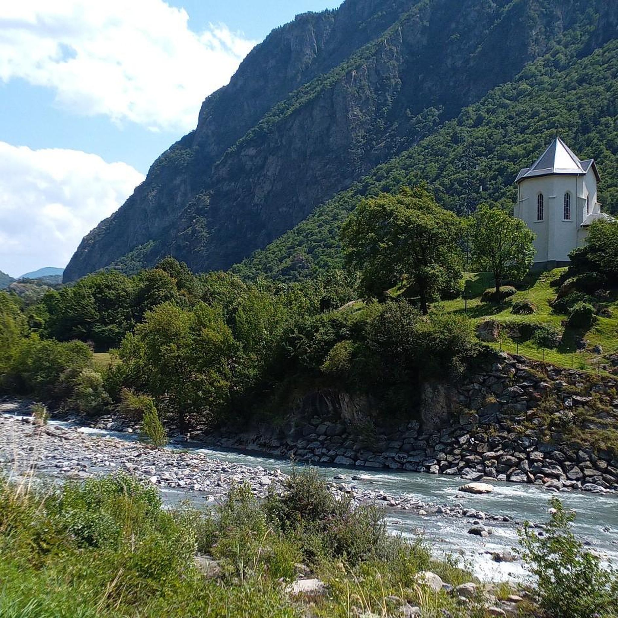
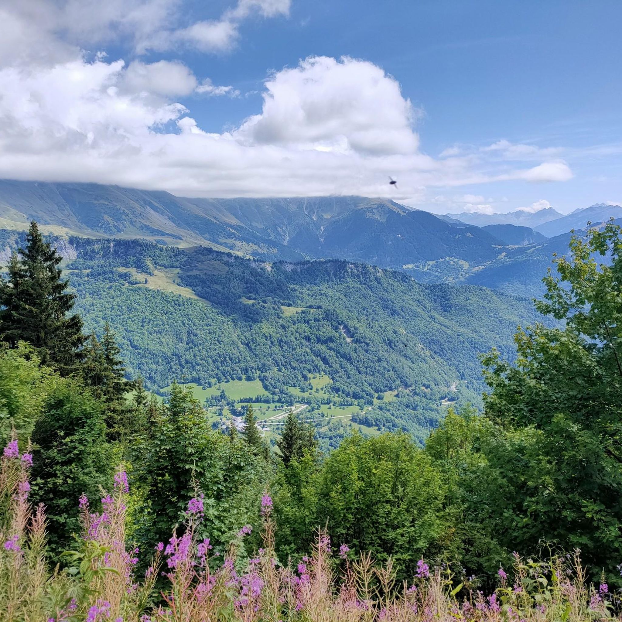
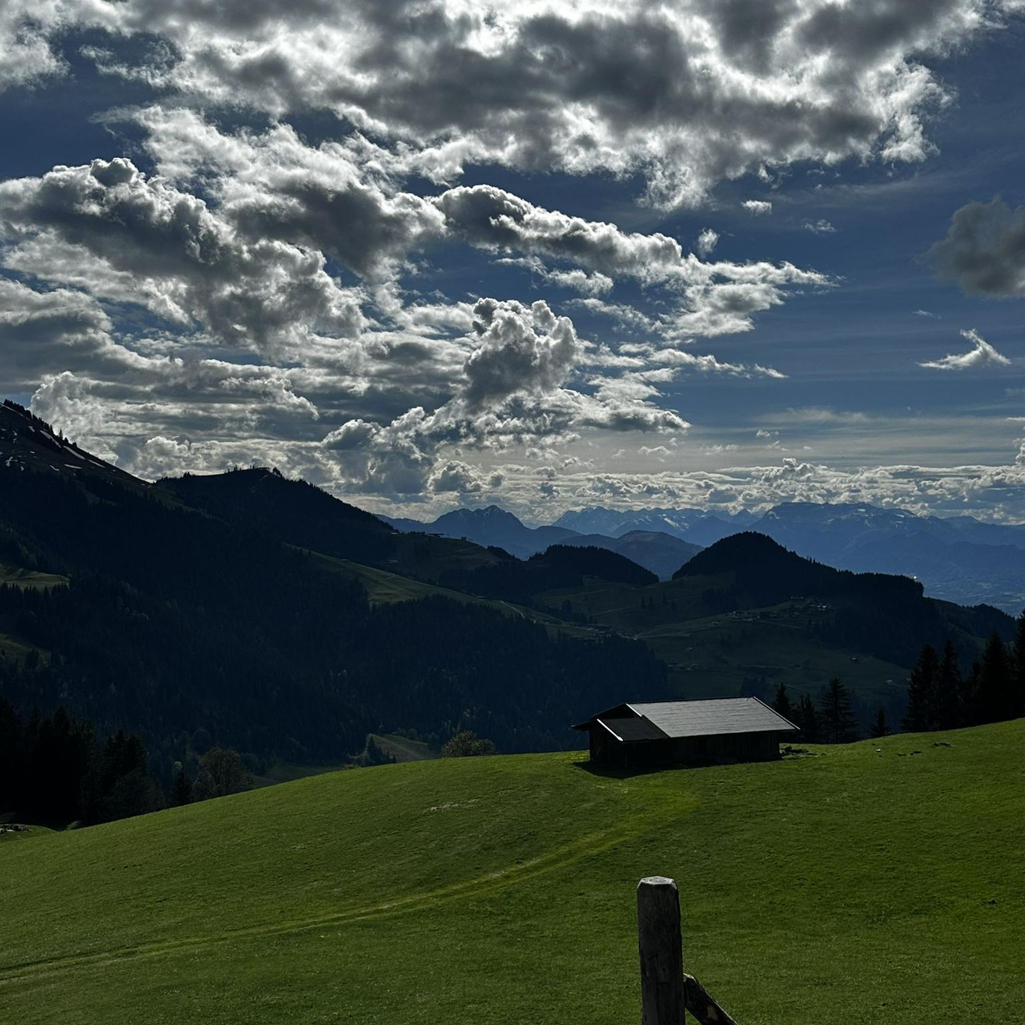
Mountaineering routes in Saint-Pierre-De-Belleville offer expansive views of the surrounding French Alps. You can expect to see high mountain passes, pristine alpine lakes like Lac du Collet, and rugged mountainous terrain, providing panoramic vistas throughout your journey.
How long do the mountaineering routes typically take to complete?
The duration of routes varies significantly based on distance and elevation gain. For example, the moderate Lac du Collet – Les Plagnes loop takes approximately 3 hours 16 minutes, while more challenging routes like the Grande Montagne d'Arvillard – Les Grands Moulins loop can take around 8 hours 32 minutes to complete.
Are there any notable landmarks or attractions near the mountaineering trails?
Yes, the region is rich in natural and historical landmarks. You might encounter significant mountain passes such as Col du Grand Cucheron or Col de la Madeleine. These passes often offer stunning viewpoints and are integral parts of the alpine landscape.
What is the elevation gain like on these routes?
The mountaineering routes around Saint-Pierre-De-Belleville feature significant elevation changes. For instance, the Grande Montagne d'Arvillard loop from Institut Karma Ling involves nearly 1,000 meters of ascent, while the White Lake – Blue Lake loop from Saint-François-Longchamp 1650 has an elevation gain of almost 1,180 meters, indicating demanding climbs.
What do other mountaineers say about the routes in Saint-Pierre-De-Belleville?
The komoot community highly rates the mountaineering routes in Saint-Pierre-De-Belleville, with an average score of 4.2 stars from over 5 reviews. Mountaineers often praise the challenging climbs, the pristine alpine lakes, and the panoramic views of the French Alps.
Are there opportunities to see wildlife while mountaineering in this region?
The alpine environment around Saint-Pierre-De-Belleville is home to various wildlife. While specific sightings are never guaranteed, you might encounter chamois, ibex, marmots, and a variety of bird species typical of the French Alps, especially in quieter, less frequented areas.
How many mountaineering routes are available in Saint-Pierre-De-Belleville?
There are several mountaineering routes detailed for the Saint-Pierre-De-Belleville area, offering a focused selection of challenging alpine experiences. The network primarily caters to experienced mountaineers, with a few moderate options available.
Most popular routes around Saint-Pierre-De-Belleville
Most popular attractions around Saint-Pierre-De-Belleville

Get inspired with the komoot mobile app


Explore more
Browse the best Mountain Hikes & Routes in other regions.
