The best walks and hikes around Saint-Pierre-De-Belleville
4.6
(424)
4,500
hikers
131
hikes
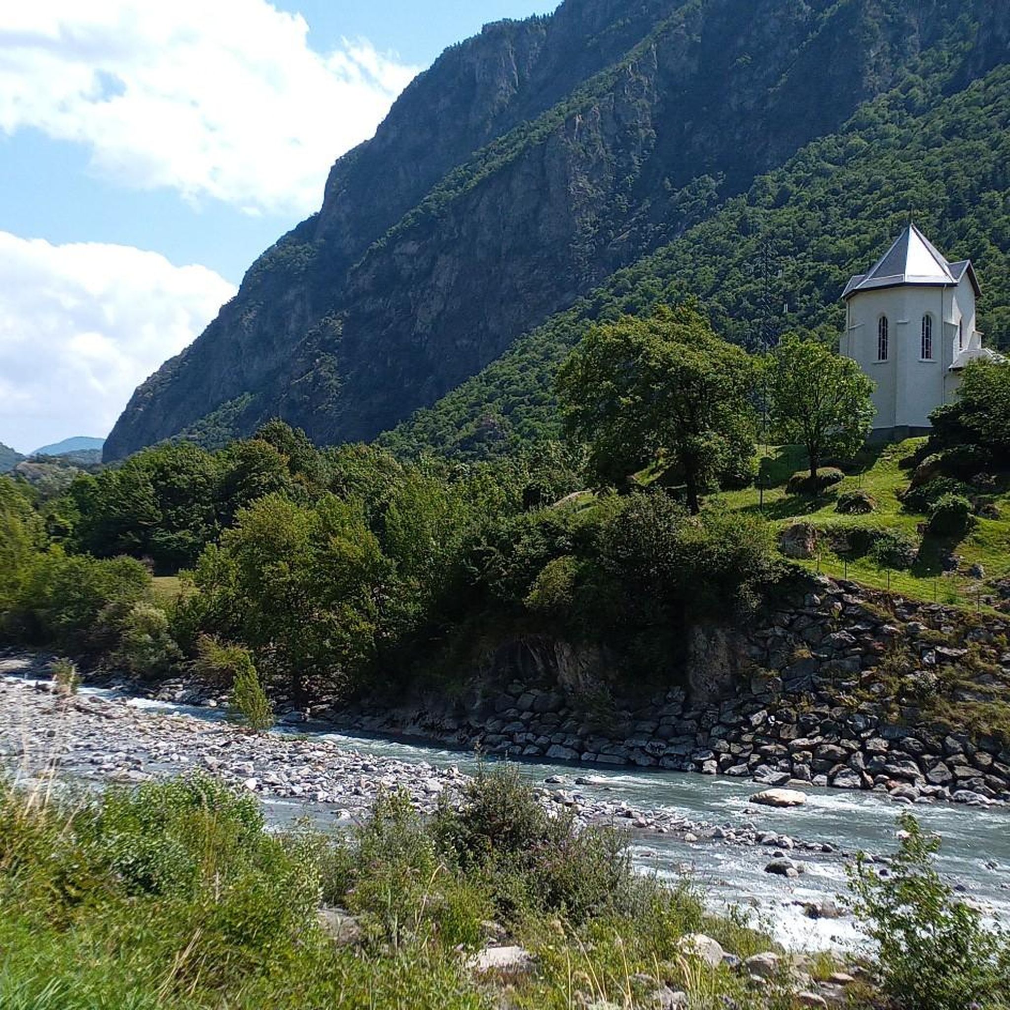
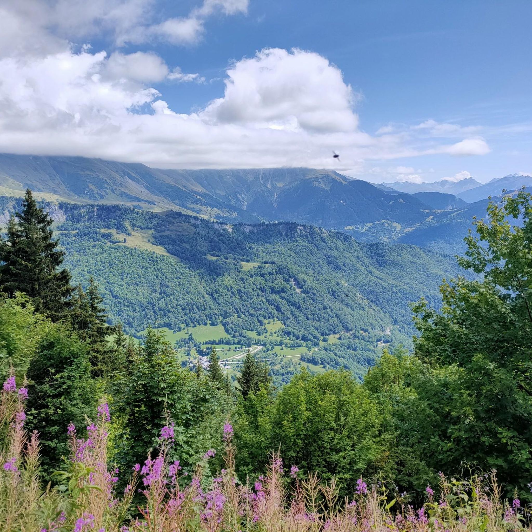
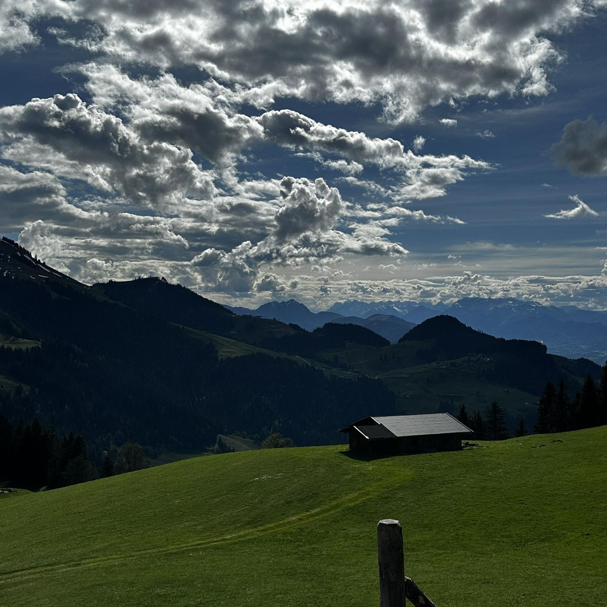
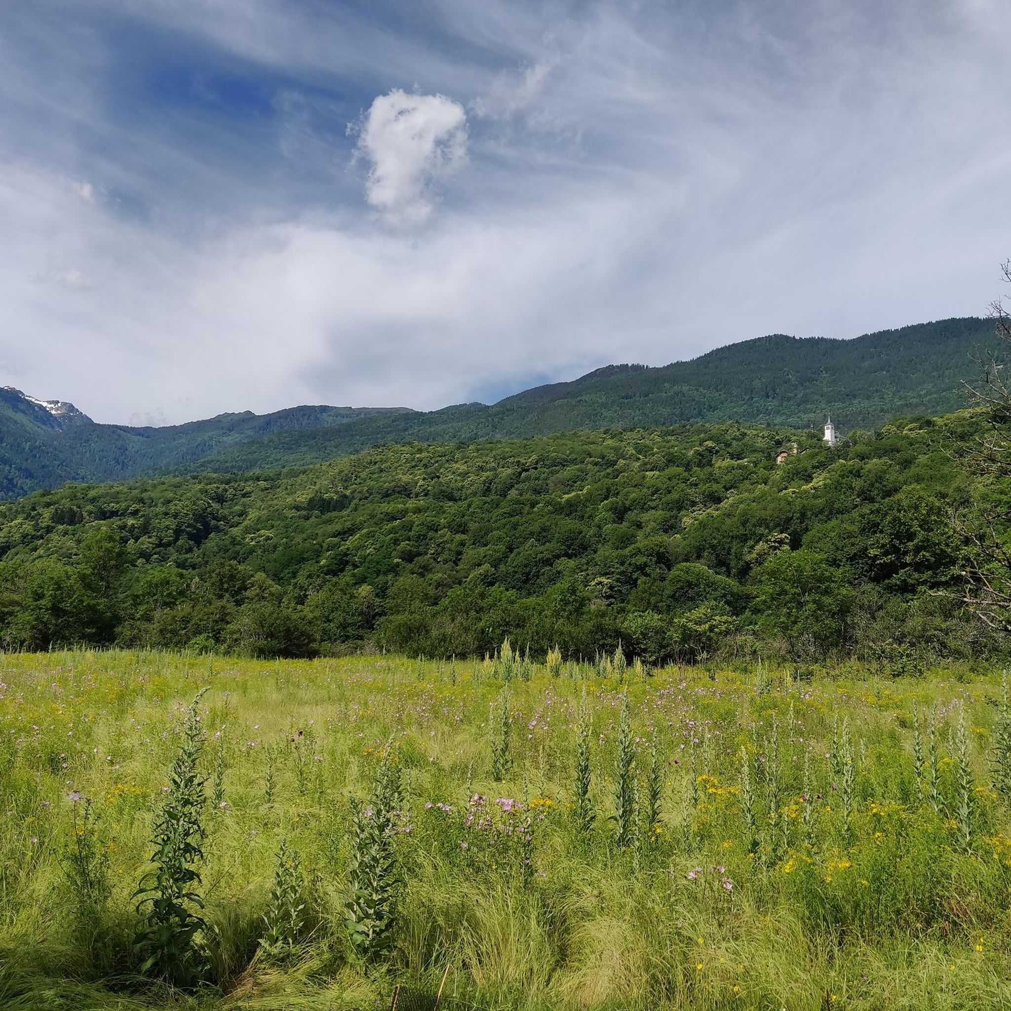
Hiking around Saint-Pierre-De-Belleville offers access to a diverse alpine landscape within the Savoie department of the Auvergne-Rhône-Alpes region. The terrain varies significantly, from 357 meters along the Arc River to high peaks reaching 2,341 meters at Pointe de Rognier. This region is characterized by river valleys, forested paths, and open mountain pastures, providing a range of environments for outdoor activities.
Best hiking trails around Saint-Pierre-De-Belleville
- The most popular hiking route is Frog Lake – Arbarétan Pass loop from Parking de Teppe Verte, a moderate 7.9 miles (12.7 km) trail that takes 4 hours 41 minutes to complete. This route offers alpine lake views and mountain pass scenery.
- Another top favourite among local hikers is Frog Lake – Arbarétan Pass loop from Baraque de la Jasse, a moderate 4.5 miles (7.3 km) path. This trail leads through varied terrain, including forest and open areas.
- Local hikers also love the Arbarétan Pass – Frog Lake loop from Col d'Arbarétan, a 4.4 miles (7.1 km) trail leading through alpine landscapes with views of Frog Lake and surrounding peaks, often completed in about 2 hours 41 minutes.
- Hiking around Saint-Pierre-De-Belleville is defined by diverse alpine landscapes, high peaks like Pointe de Rognier, and tranquil lakes such as Lac du Lou. The network offers options for different ability levels, from river valleys to high alpine trails.
- The routes in Saint-Pierre-De-Belleville are highly rated by the komoot community with an average score of 4.5 stars from over 400 reviews. More than 4000 hikers have used komoot to explore Saint-Pierre-De-Belleville's varied terrain.
Last updated: July 1, 2026
4.8
(12)
116
hikers
16.2km
06:15
880m
880m
Hard hike. Very good fitness required. Mostly accessible paths. Sure-footedness required.
4.4
(12)
116
hikers
7.31km
02:57
410m
420m
Moderate hike. Good fitness required. Mostly accessible paths. Sure-footedness required.

Sign up for free
4.2
(9)
90
hikers
7.08km
02:41
350m
350m
Moderate hike. Good fitness required. Mostly accessible paths. Sure-footedness required.
5.0
(3)
8
hikers
14.6km
05:38
730m
730m
Hard hike. Very good fitness required. Mostly accessible paths. Sure-footedness required.
4.6
(5)
26
hikers
4.46km
01:23
170m
170m
Easy hike. Great for any fitness level. Easily-accessible paths. Suitable for all skill levels.
Get access to more routes and recommendations from other explorers.
Sign up for free
Already have an account?
Our route recommendations are based on thousands of hikes, rides, and runs completed by other people on komoot.
Start today with a free account
Your next adventure awaits.
Login or Signup

Tips from the Community

What a beautiful place...
0
0

not disappointed, I followed the signs, this allowed me to take a shower at the end of my tour before getting back on the train. There is a parking lot not far away, it's a nice place for days when it's very hot.
0
0

Col la Perche is located at an altitude of 1,986 meters, between Pointe de Rognier (2,341 meters) and Chapotet (2,083 meters).
0
0
It is a superb passage, at an altitude of 1,850 meters. The panorama opens onto the Lauzière chain, Mont Blanc and Pointe de Rognier. A small lake is at the level of the pass, it is the lake of the Frogs.
0
0
Frequently Asked Questions
How many hiking trails are available in Saint-Pierre-De-Belleville?
Saint-Pierre-De-Belleville and the broader Belleville Valley offer a vast network for hikers. There are over 100 hiking routes available, with more than 50 itineraries spanning approximately 300 kilometers of marked paths in the wider valley.
What are the different difficulty levels for hiking in Saint-Pierre-De-Belleville?
The region caters to various skill levels. You'll find a good mix of trails, including around 20 easy routes perfect for beginners, over 70 moderate trails for those seeking a bit more challenge, and about 25 difficult routes for experienced hikers looking for strenuous ascents.
What do other hikers say about the trails in Saint-Pierre-De-Belleville?
The trails in Saint-Pierre-De-Belleville are highly regarded by the komoot community, boasting an average rating of 4.5 stars from over 400 reviews. Hikers frequently praise the diverse alpine landscapes, the stunning panoramic views, and the well-maintained paths that lead through forests, river valleys, and high mountain pastures.
Are there any hikes with impressive viewpoints in the region?
Absolutely. For breathtaking panoramic views, consider trails leading to Col du Grand Cucheron, which offers scenic vistas along its forested paths. The challenging ascent to Pointe de Rognier (2,341 meters) promises expansive alpine views, while Le Cochet (2,026 meters) provides incredible panoramas stretching to the Vanoise glaciers and Mont-Blanc massif.
Can I find trails that lead to lakes or water features?
Yes, the region features beautiful water elements. The Frog Lake – Arbarétan Pass loop from Parking de Teppe Verte is a popular moderate route offering alpine lake views. Another notable destination is Lac du Lou, the largest lake in the Belleville Valley, which is accessible via an easy path from the Plan de l'Eau car park and features a tranquil mountain refuge.
Are there any historical or cultural landmarks to explore while hiking?
Yes, some routes incorporate historical points of interest. For example, the Col du Grand Cucheron – Fort Montgilbert loop from Le Pontet allows you to discover the historic Fort Montgilbert. Additionally, the Épierre Castle ... – Cascade des Moulins d'Épierre loop from Épierre offers a chance to see Épierre Castle and a waterfall.
Are there any less-known valleys or 'hidden gems' to discover?
For a truly wild and unspoiled experience, explore the Vallée des Encombres. This valley is considered a 'best kept secret' for its natural beauty, featuring summer cottages, open mountain pastures, and clear streams. The Planlebon hike offers an introduction to this serene area, while the more advanced 'Grand Perron des Encombres' provides an alpine adventure.
Are there family-friendly hiking options in Saint-Pierre-De-Belleville?
Yes, there are several options suitable for families. The region offers around 20 easy routes, perfect for younger hikers or those seeking a gentle stroll. Lac du Lou, for instance, is described as an accessible and family-friendly destination with an easy path leading to the lake.
Are dogs allowed on the hiking trails in Saint-Pierre-De-Belleville?
Generally, dogs are welcome on many hiking trails in the French Alps, especially if kept on a leash. However, specific regulations can vary, particularly in protected areas or nature reserves. It's always advisable to check local signage or park rules for any restrictions before heading out with your dog.
Are there circular walks available in Saint-Pierre-De-Belleville?
Yes, many of the trails are designed as loops, offering varied scenery without retracing your steps. Examples include the Frog Lake – Arbarétan Pass loop from Baraque de la Jasse and the Arbarétan Pass – Frog Lake loop from Col d'Arbarétan, both providing excellent circular hiking experiences.
What is the best time of year for hiking in Saint-Pierre-De-Belleville?
The best time for hiking typically spans from late spring to early autumn (May to October). During these months, the weather is generally milder, and the higher alpine trails are more accessible as snow has melted. Summer offers lush landscapes and warmer temperatures, while early autumn brings vibrant colors.
Are there options for parking near the trailheads?
Yes, many popular trailheads in the Saint-Pierre-De-Belleville area, especially those leading to well-known destinations like Lac du Lou, have designated parking areas. For instance, the route to Lac du Lou starts from the Plan de l'Eau car park. When planning your hike, check the route details on komoot for specific parking information.
Can I access hiking trails using public transport?
While some villages in the Belleville Valley might have limited public transport connections, direct access to all trailheads via public transport can be challenging due to the alpine nature of the region. It's often recommended to have a car for maximum flexibility, though local bus services might connect larger towns to some starting points. Always check local transport schedules in advance.
Most popular routes around Saint-Pierre-De-Belleville
Most popular attractions around Saint-Pierre-De-Belleville

Get inspired with the komoot mobile app


Explore more
Browse the best Hikes in other regions.
