The best mountain hikes around Saint-André-De-Boëge
4.8
(4)
34
hikers
3
hikes
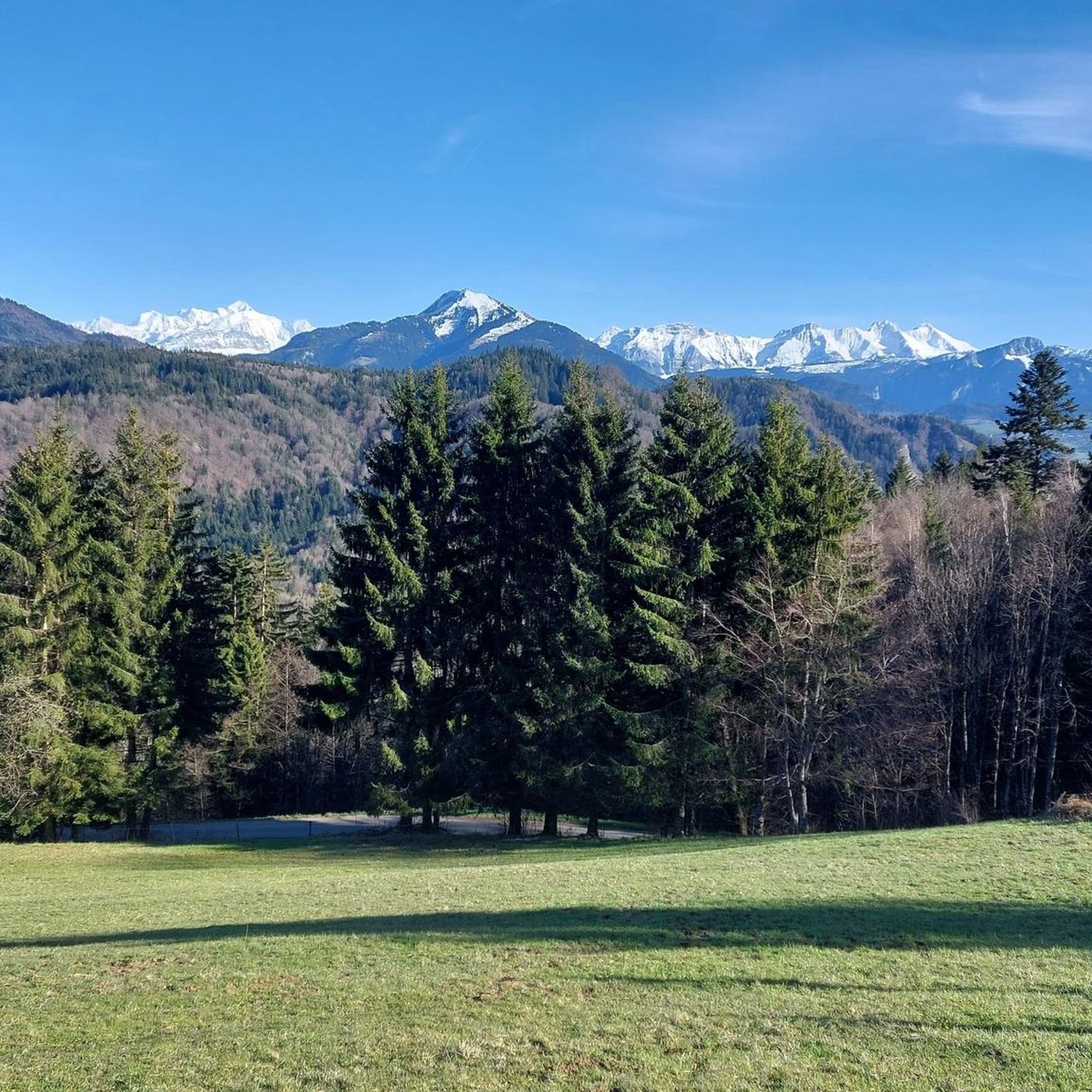
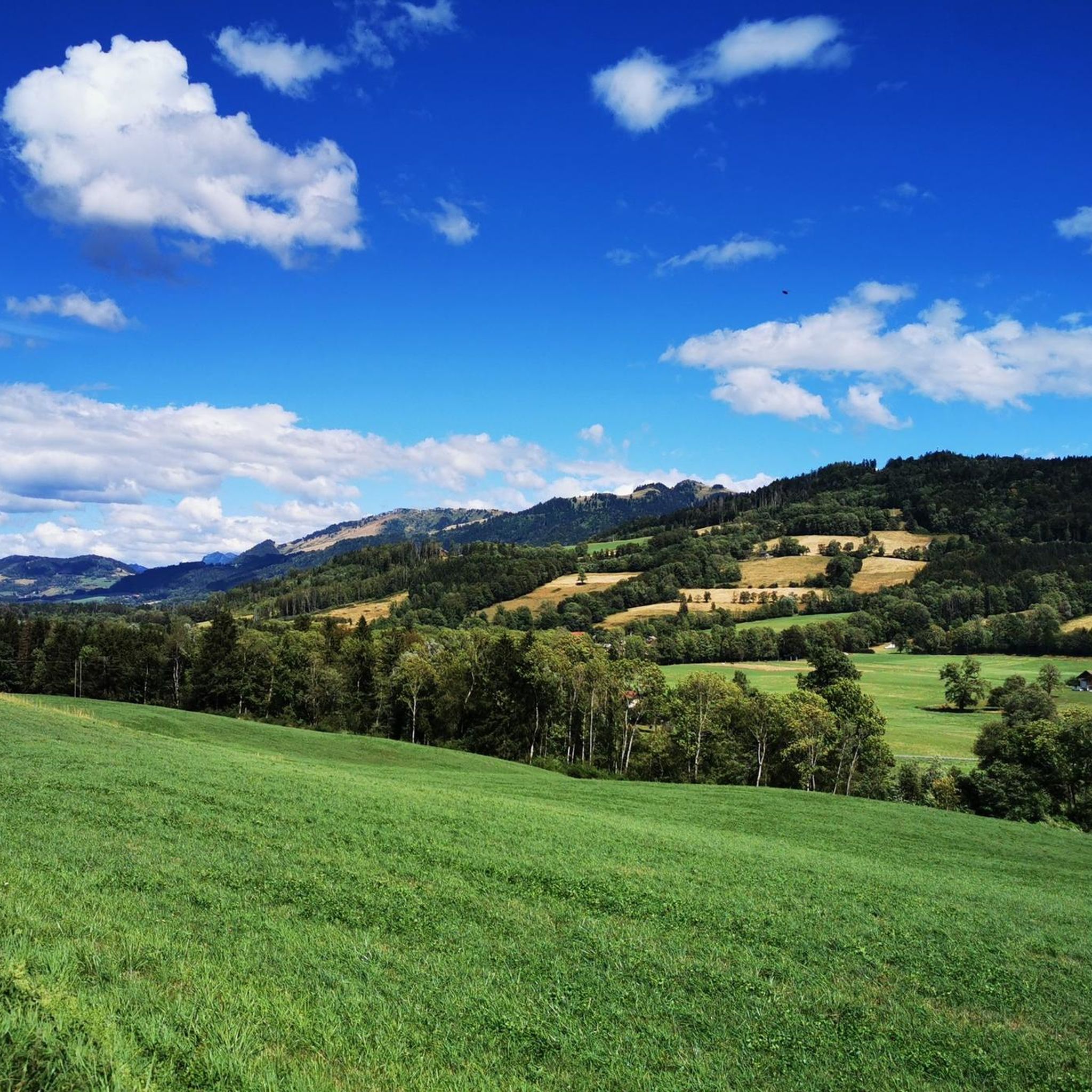
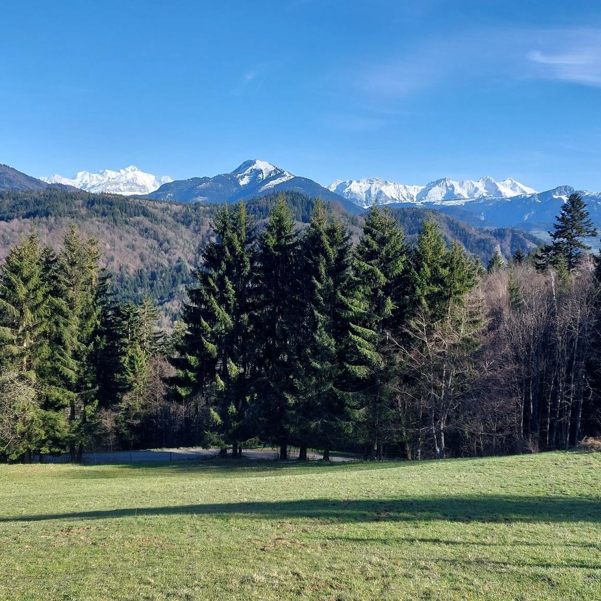
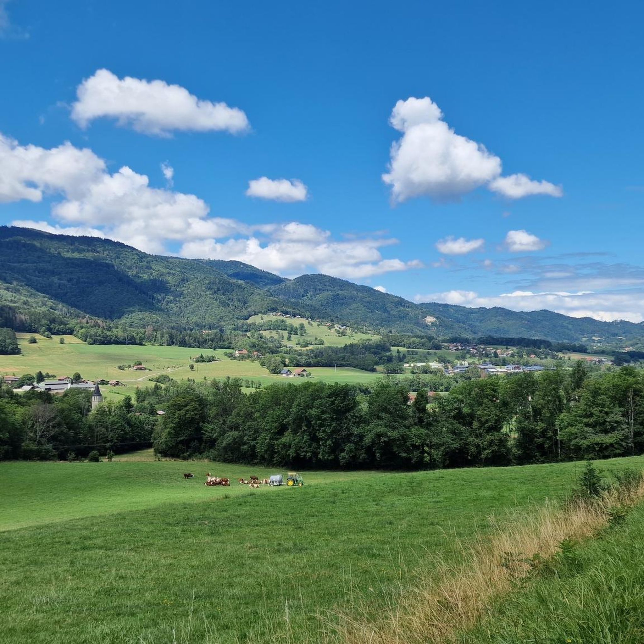
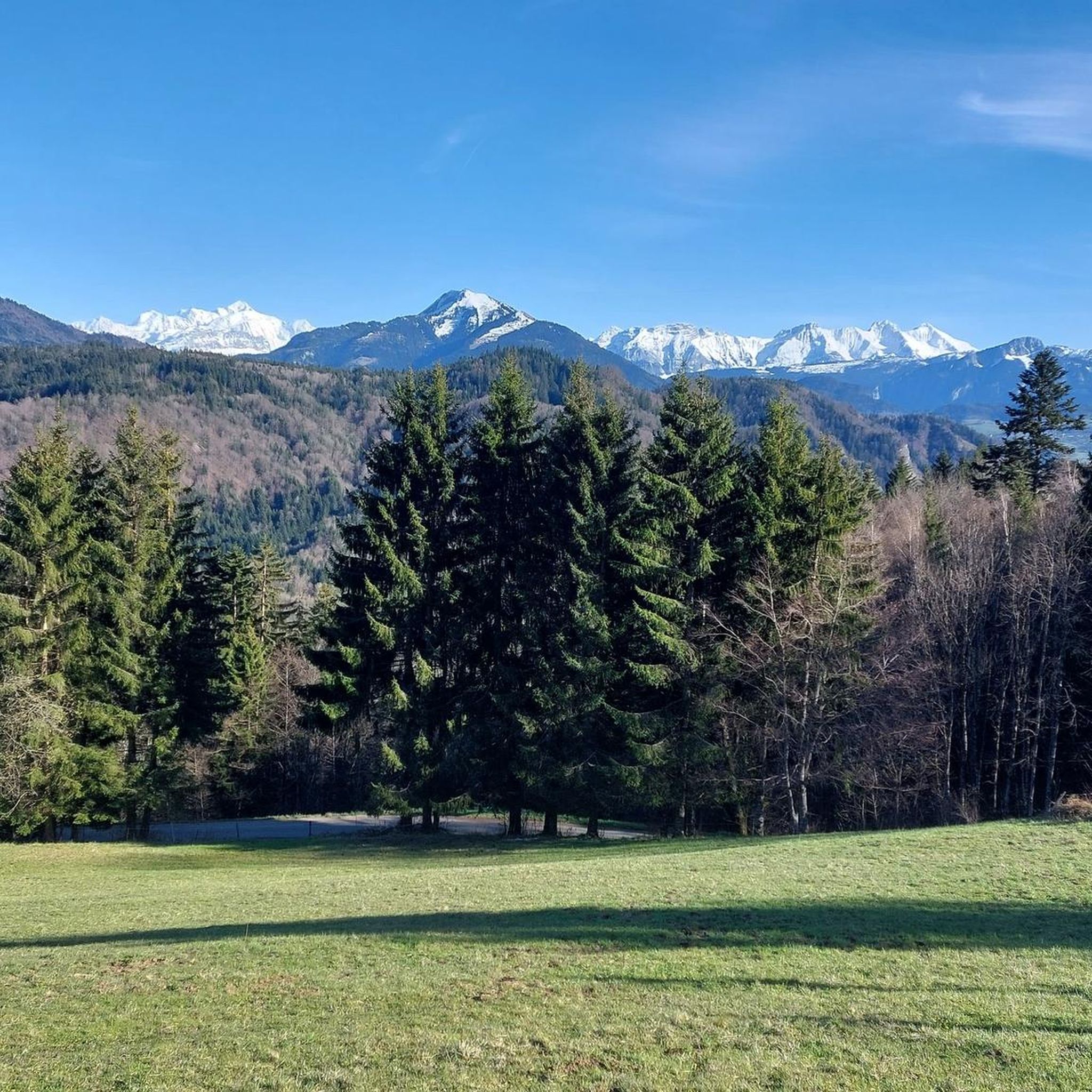
Mountaineering routes Saint-André-de-Boëge are situated in the Vallée Verte within Haute-Savoie, France, offering a diverse landscape for exploration. The region features elevations ranging from 640 meters to 1406 meters, characterized by authentic landscapes including meadows, woods, and river valleys. Notable natural features like the Molière millstone careers and the Pointe de Pralère contribute to the varied terrain, providing a suitable environment for mountaineering.
Best mountaineering routes around Saint-André-De-Boëge
- The most popular mountaineering route is Petit Môle – Le Môle loop…
Last updated: May 25, 2026
4.8
(4)
29
hikers
8.59km
04:12
670m
670m
Hard mountaineering route. Good fitness required. Sure-footedness, sturdy shoes and alpine experience required.
2
hikers
10.0km
03:16
440m
440m
Moderate mountaineering route. Good fitness required. Mostly accessible paths. Sure-footedness required.

Sign up for free
1
hikers
8.24km
02:52
390m
390m
Hard mountaineering route. Good fitness required. Sure-footedness, sturdy shoes and alpine experience required.
Our route recommendations are based on thousands of hikes, rides, and runs completed by other people on komoot.
Start today with a free account
Your next adventure awaits.
Login or Signup

Tips from the Community

Very nice hike. It was quite crowded today. Contrary to what’s written in the description, I didn’t see any particularly risky passages
0
0


The Ajon climb is signposted from Villard. It is 7.3 kilometres long and has an average gradient of 8.3% with a passage at over 15%. At the top, the view at an altitude of 1,406 metres is delightful.
1
0

Steep ascent, many parts are steeper than 10%. In 2023, this climb was included in the Tour.
0
1


The Plaine Joux de Passy is 13.3 km long with a total drop of 756 m. The average gradient is 5.7% with maximum gradients of 15%.
2
1
Frequently Asked Questions
What kind of mountaineering routes are available in Saint-André-De-Boëge?
Saint-André-De-Boëge, nestled in the Vallée Verte, offers a variety of mountaineering experiences with elevations ranging from 640 to 1406 meters. You'll find routes traversing diverse landscapes including meadows, woods, and river valleys, with options for both challenging ascents and moderate climbs. The area is characterized by its authentic natural features, such as the Molière millstone careers and the Pointe de Pralère.
Are there any challenging mountaineering routes for experienced climbers?
Yes, the region offers several challenging routes. For a significant elevation gain towards a summit, consider the Petit Môle – Le Môle loop from Ayse, a difficult 8.7 km trail. Another demanding option is the Petit Môle loop from Ayse, a 5.1 km path that provides a challenging ascent with rewarding views of the Haute-Savoie landscape.
Can I find any circular mountaineering routes in the area?
Absolutely. Many routes in Saint-André-De-Boëge are designed as loops, allowing you to start and finish at the same point. For example, the Pointe de Miribel loop from Bogève is a 6.4 km trail that takes you through varied mountain terrain. Another option is the Pointe de Miribel – Tête des Cudres loop from Bogève, covering 7.9 km.
What are some scenic highlights or natural attractions to look out for on these routes?
The region is rich in natural beauty. You might encounter impressive sandstone conglomerates at the Molière millstone careers or enjoy views from the Pointe de Pralère. Along your routes, you could also spot natural monuments like Copacou Stone or the intriguing Fairies' Stone. The Menoge river also flows through the valley, offering picturesque sections.
Are there any specific peaks or summits I can aim for during my mountaineering trip?
Yes, several notable peaks and summits are accessible. You can aim for Mount Forchat or the Signal of the Voirons. The Le Môle summit cross is also a significant landmark for mountaineers, offering expansive views. The Pointe de Miribel is another summit you can reach, as featured in some of the local loop routes.
What is the best time of year for mountaineering in Saint-André-De-Boëge?
The Vallée Verte, being part of the French Alps, is generally best for mountaineering from late spring through early autumn. During these months, the weather is more stable, and trails are typically clear of snow, allowing for safer and more enjoyable ascents. The 'green valley' lives up to its name with lush landscapes during this period.
Are there any moderate mountaineering options for those looking for a less strenuous climb?
While many routes are challenging, there are options for a more moderate experience. The Brantaz Peak loop from Lucinges is a moderate 10 km route, offering a rewarding climb without the extreme demands of some of the more difficult trails. This route provides a good balance of distance and elevation gain.
What do other mountaineers say about the routes in Saint-André-De-Boëge?
The mountaineering routes around Saint-André-De-Boëge are highly regarded by the komoot community, with an average rating of 4.9 stars from over 6 reviews. Mountaineers often praise the diverse terrain, the rewarding views from the summits, and the authentic natural character of the Vallée Verte.
Are there any historical or cultural points of interest near the mountaineering trails?
Beyond the natural landscapes, you can explore local heritage. The Chapel of Planet, opened in 1878, is a historical site that serves as a shrine and hosts a yearly pilgrimage, making for an interesting stop. The village itself retains a rural character, known for its livestock and timber activities, and for producing excellent local cheeses like Reblochon and Abondance.
What kind of wildlife might I encounter while mountaineering in this region?
The diverse landscapes of the Vallée Verte, with its woods, meadows, and river banks, provide habitats for various wildlife. While specific sightings are never guaranteed, you might spot local bird species, small mammals, and insects. The region's commitment to environmental protection, as exemplified by associations like 'La mouche santadrionne' for fly fishing, indicates a healthy natural environment.
Is it possible to access these mountaineering routes using public transport?
While Saint-André-De-Boëge is a rural village, public transport options in Haute-Savoie can connect you to the general area. However, for direct access to specific trailheads, especially those starting from smaller hamlets like Ayse or Bogève, it is often more convenient to travel by car. Always check local bus schedules for the most up-to-date information on connections to the Vallée Verte.
Are there any specific mountain passes that are popular for mountaineering or cycling?
The region is known for several mountain passes that attract both hikers and cyclists. Notable passes include Col de Saxel, Col de Cou, Col de Terramont, Col du Perret, and Col du Ludran. The ascent of Col de Ludran from Saint-André-De-Boëge, with an average gradient of 6.6% over 3.5 km, is a particularly highlighted climb.
Most popular routes around Saint-André-De-Boëge
Most popular attractions around Saint-André-De-Boëge

Get inspired with the komoot mobile app


Explore more
Browse the best Mountain Hikes & Routes in other regions.
